Elevation of Kennedy Hwy, Harrington, ME, USA
Location: United States > Maine > Washington County > Harrington >
Longitude: -67.843149
Latitude: 44.5953109
Elevation: 21m / 69feet
Barometric Pressure: 101KPa
Elevation Map:
Satellite Map:
Related Photos:

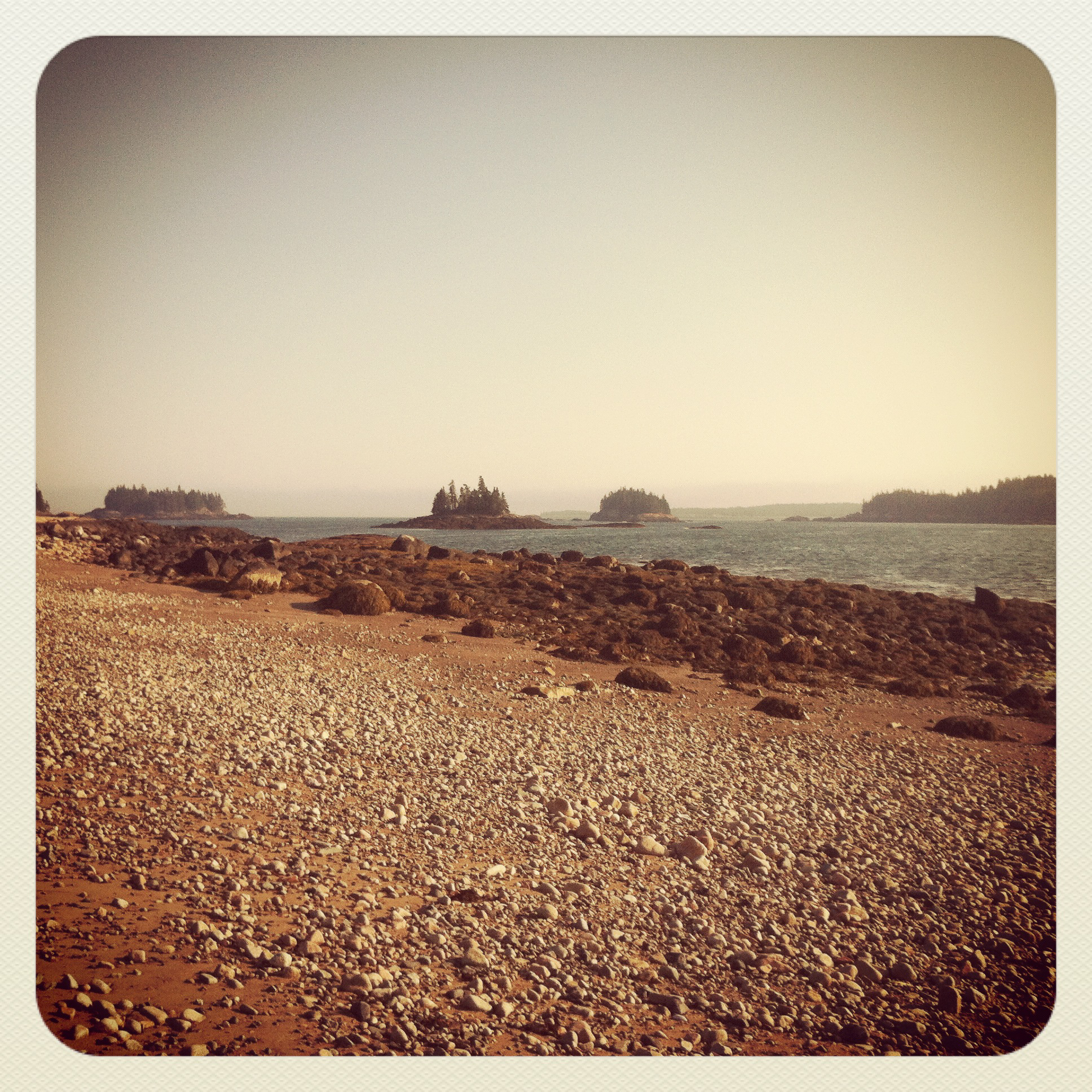
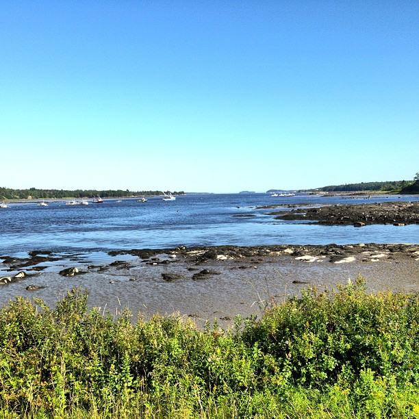
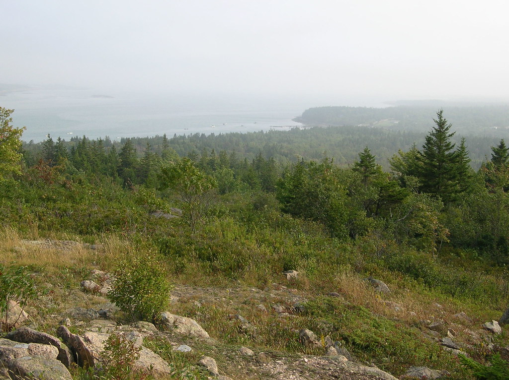
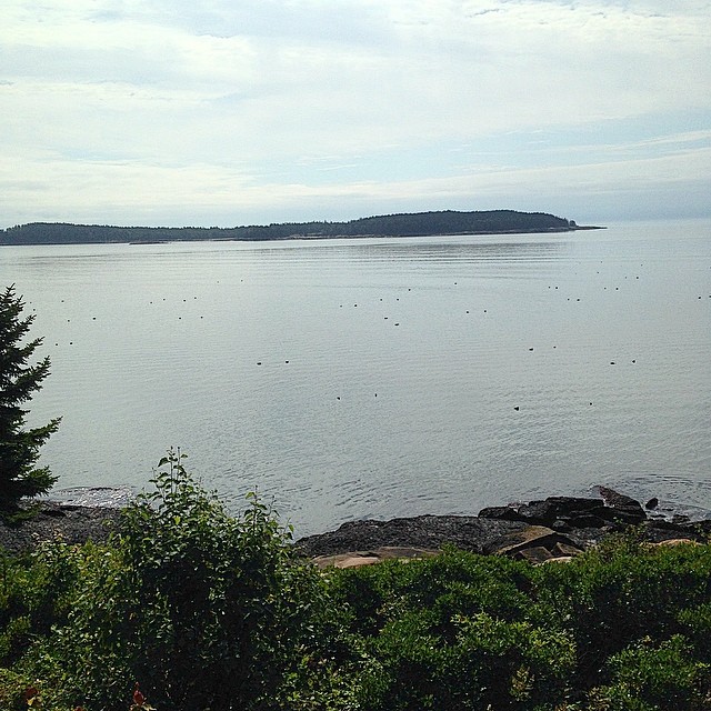
View from Pigeon Hill
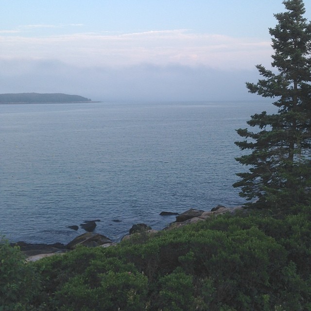
Awesome View

Somewhere in Maine
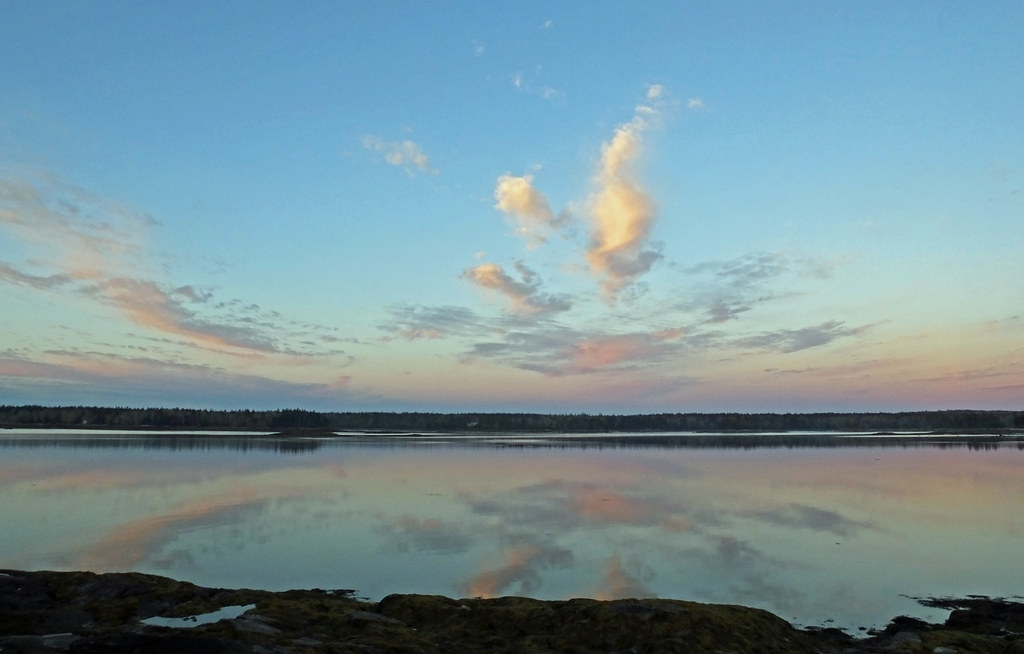
one morning in Maine ...
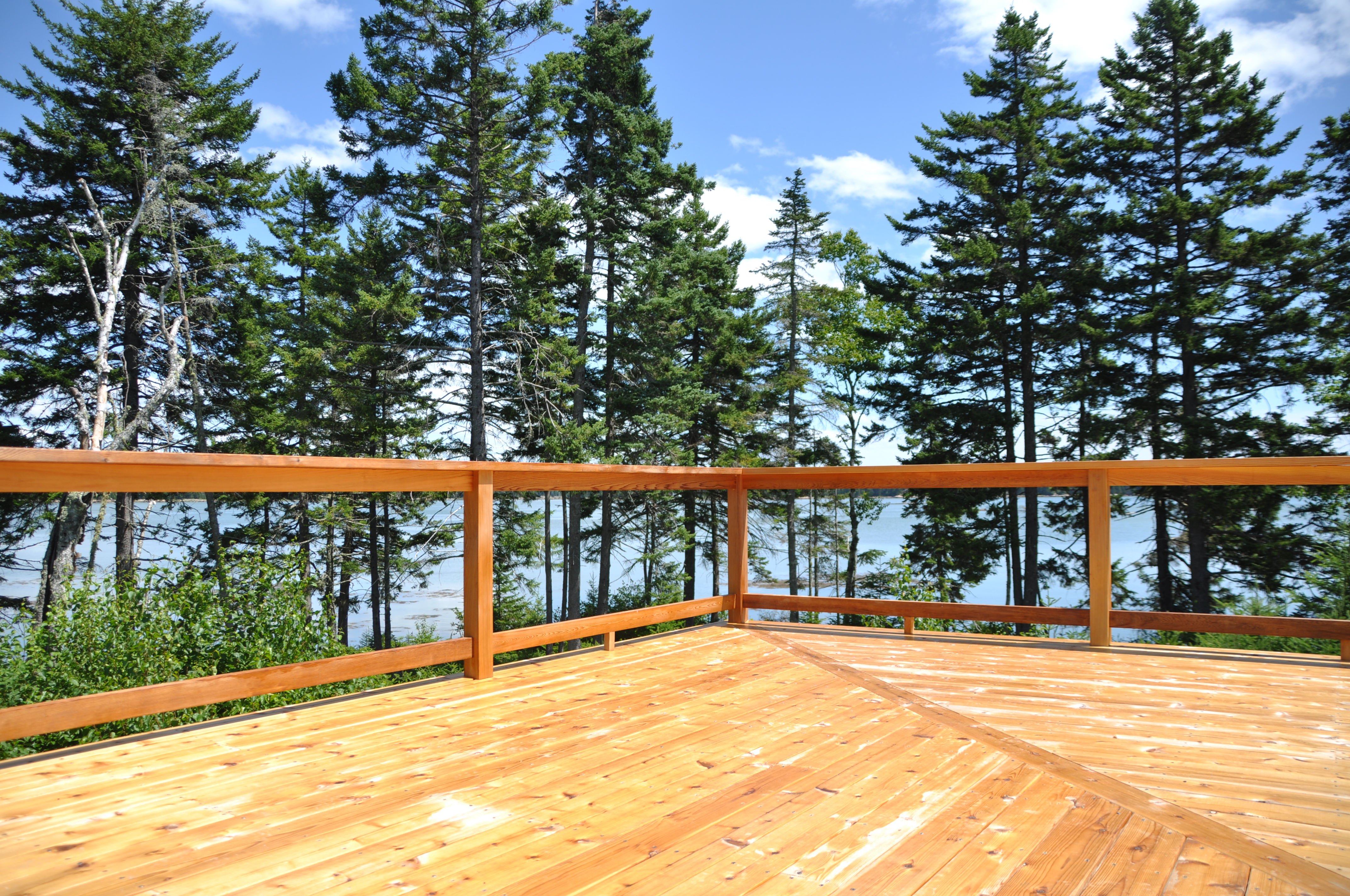
view from a deck
Eastern Harbor View
This is kind of a nice view.
New view. Coast of Maine.
Kitchen am view

Pigeon Hill view

Pigeon Hill
My view for the next week
Pigeon Hill

Awesome View

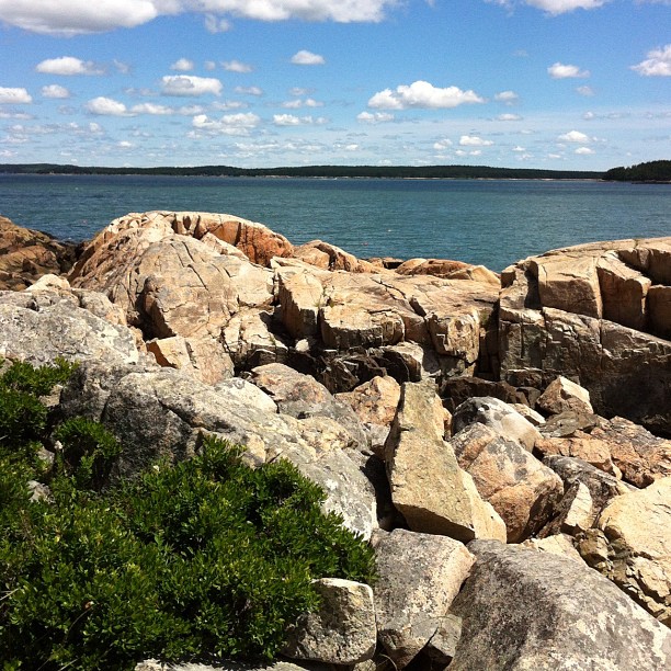
Tunk Mountain Wilderness 2 - Maine
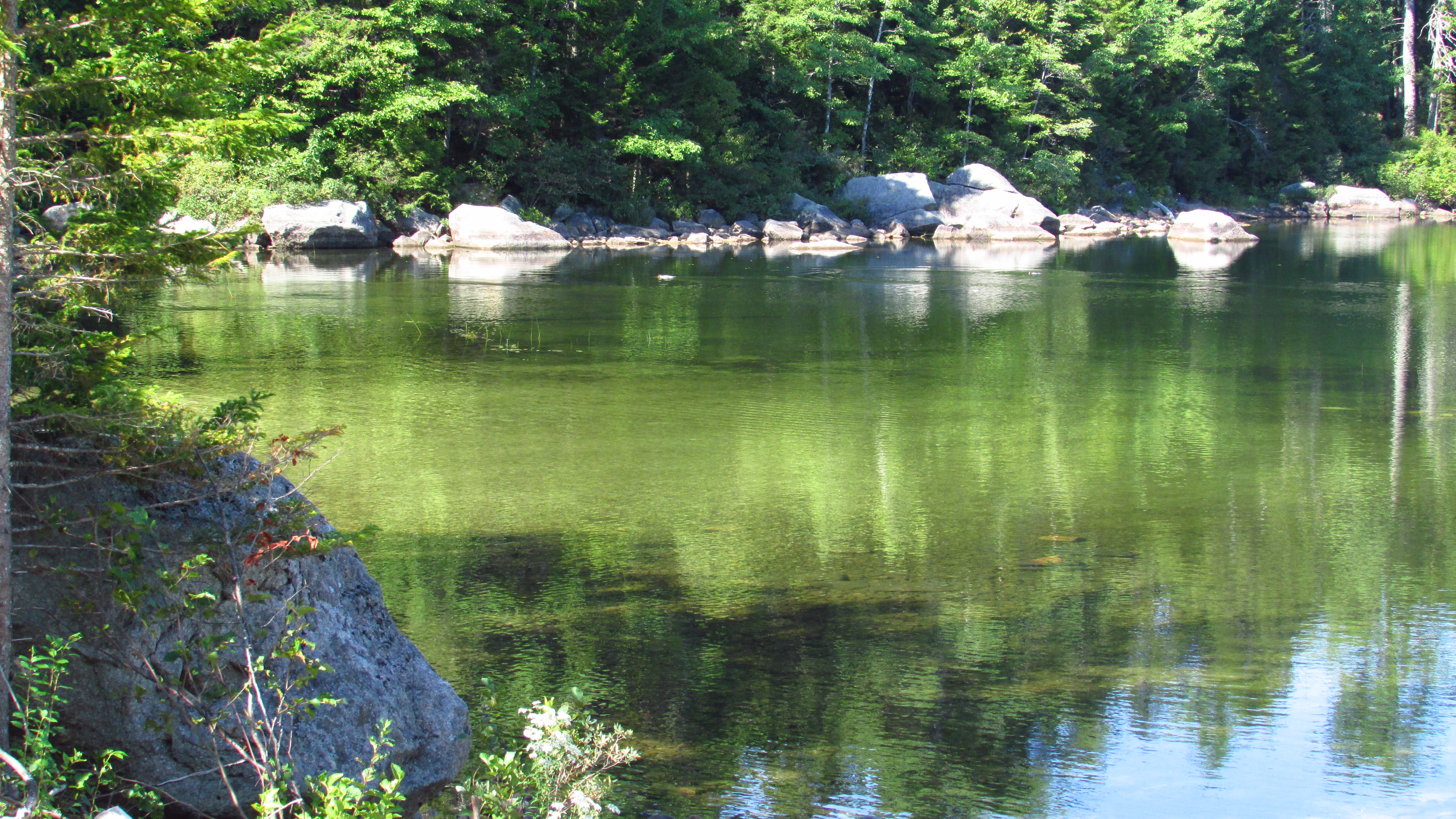
Spring River Lake

Tree gosts
Todd and Kathy's shoreline

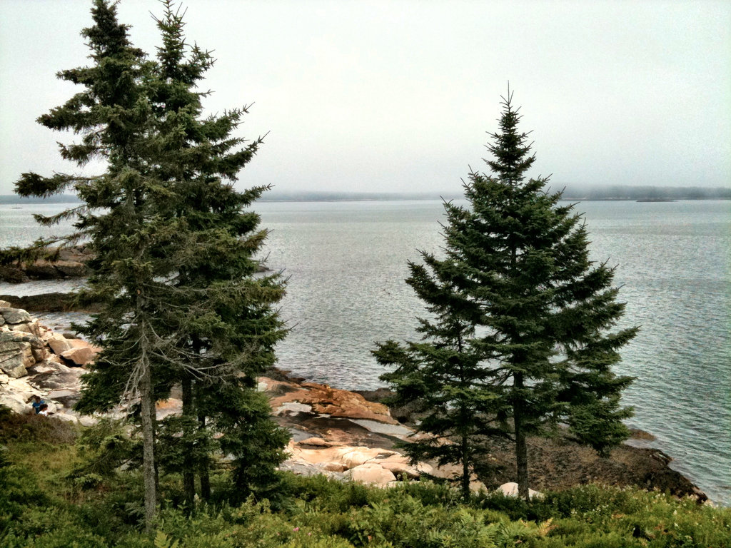
Tunk Mountain Wilderness - Maine
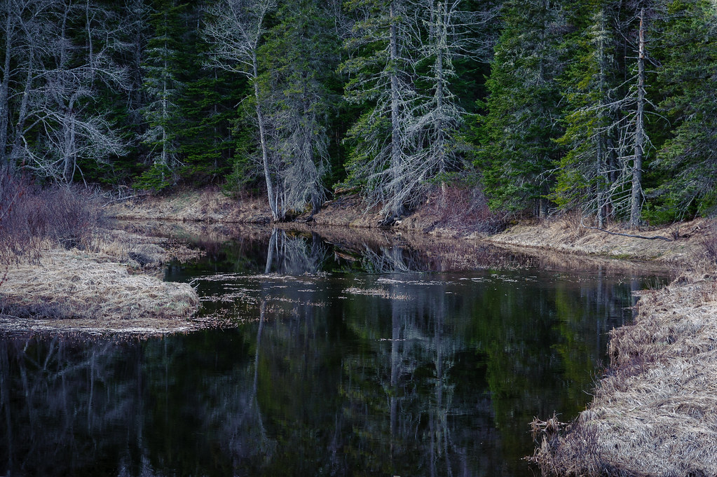
Evening calm along Tunk
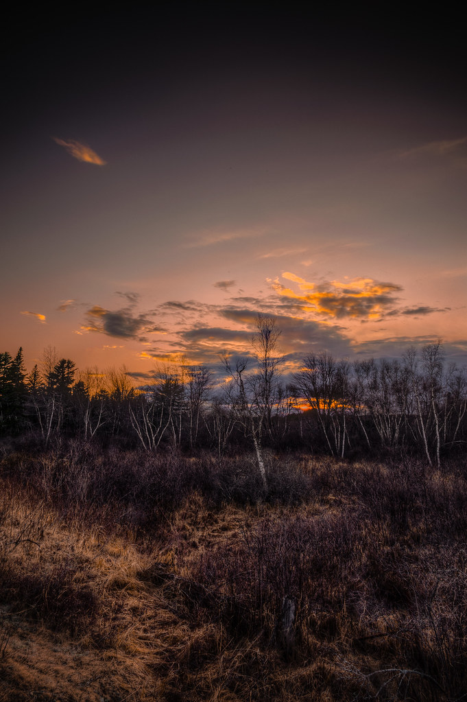
Sunset and Birch
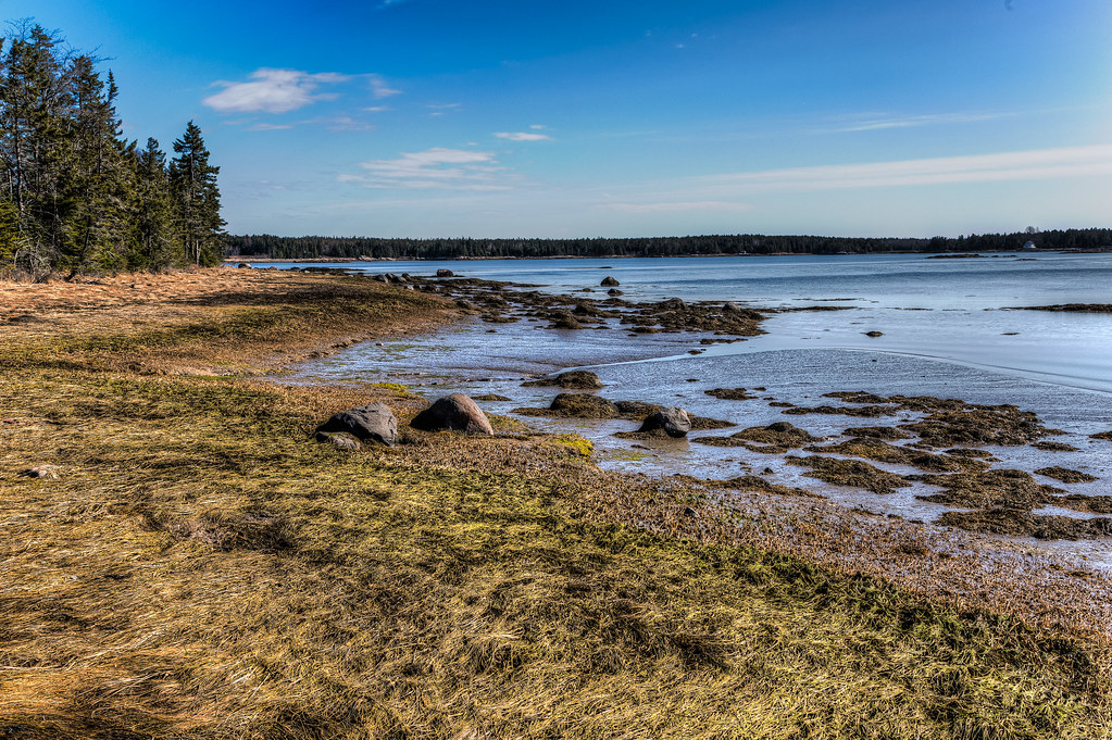
Todd and Kathy's shoreline
Cherryfield, Maine, USA
Milbridge, ME

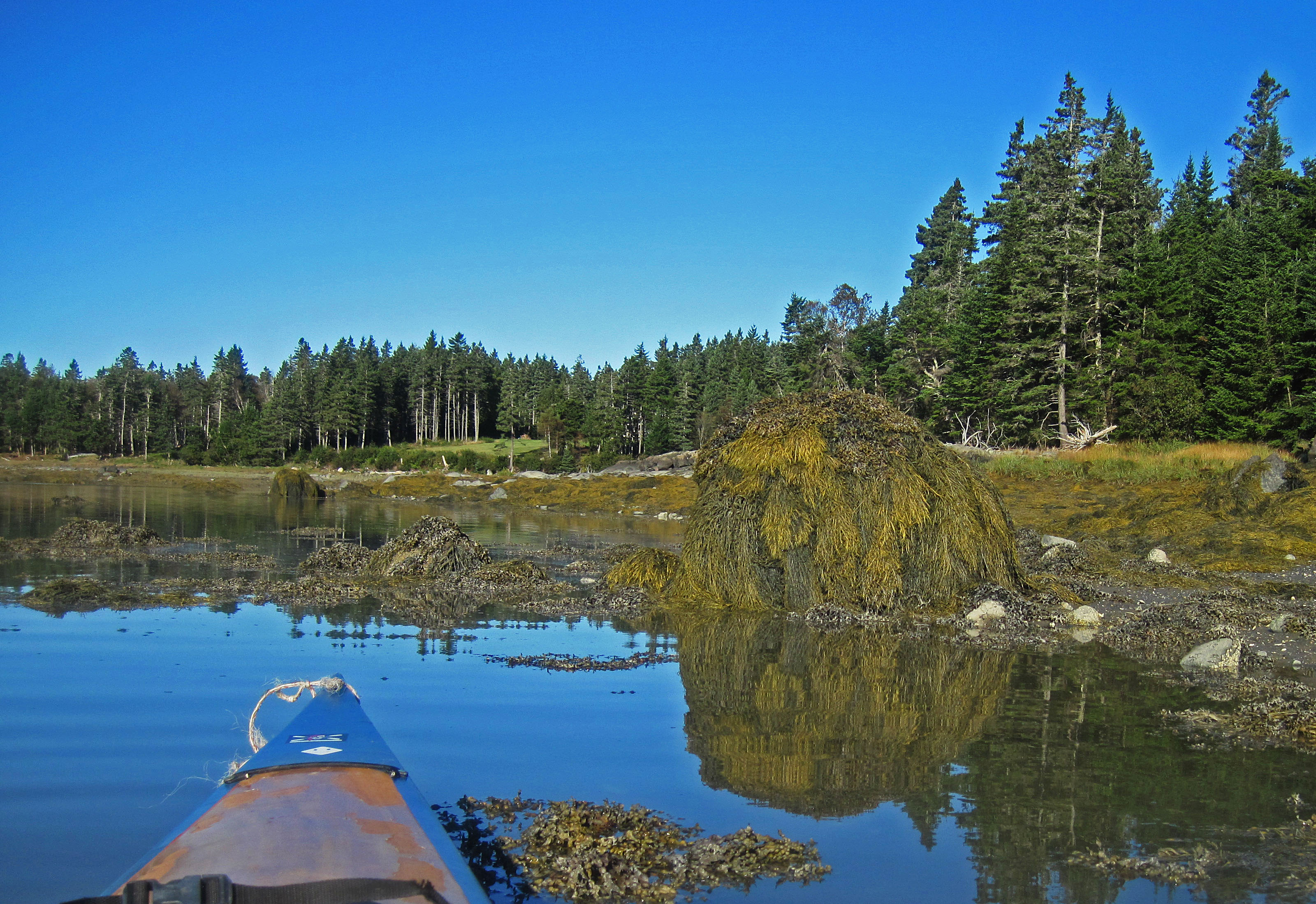
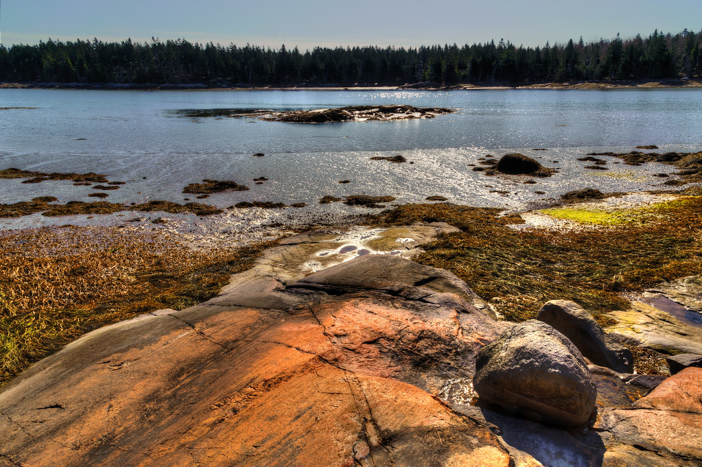
Tunk Stream tributary

Harrington Landing Sunset
It's of lobster buoys in what little sun there is today.

a small calm within the blizzard
Sun shiny day

Cold Day at the Boat Launch

Howard and Melanie in forest 11
Fundy Bay
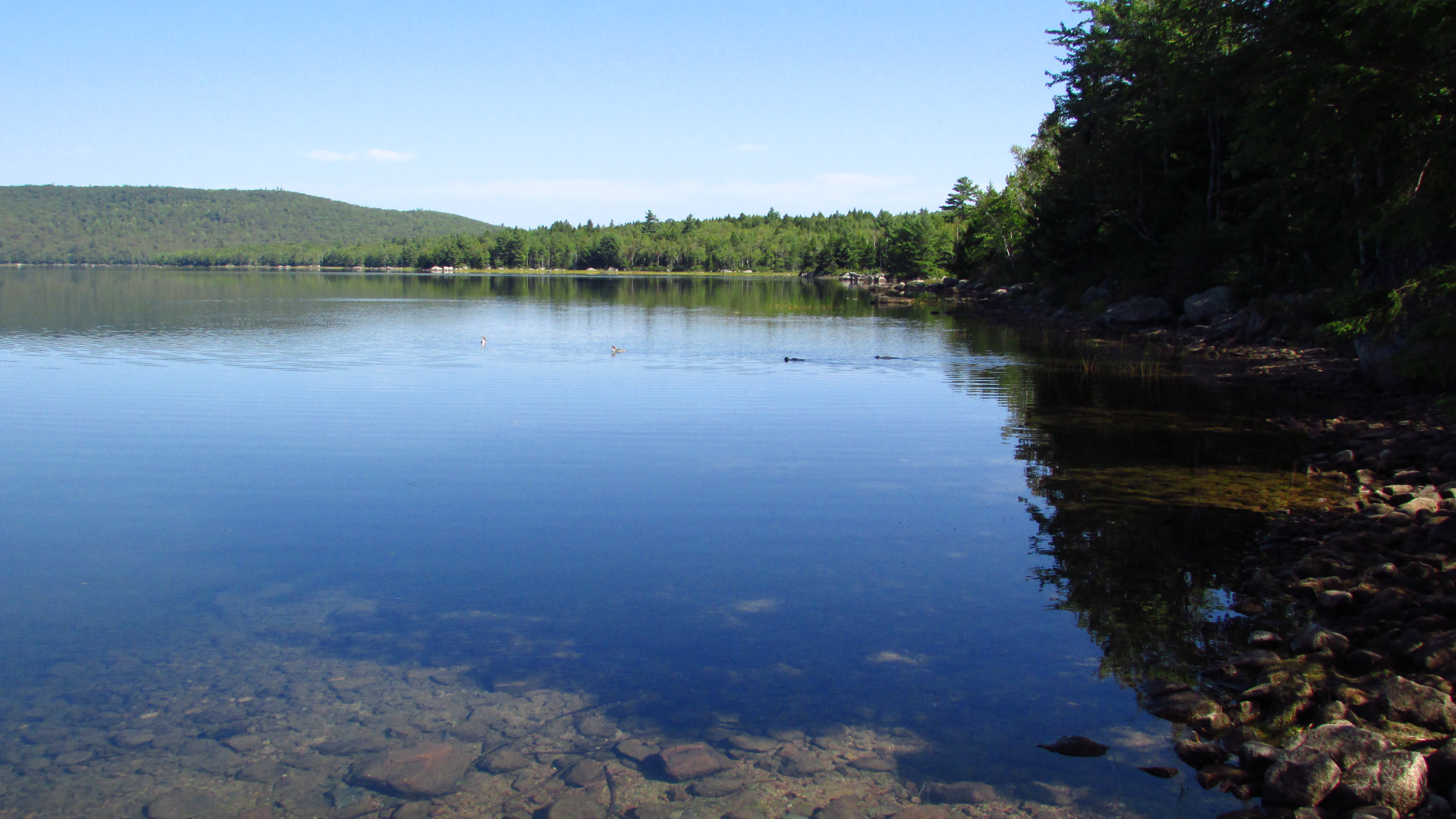
Spring River Lake
Topographic Map of Kennedy Hwy, Harrington, ME, USA
Find elevation by address:

Places near Kennedy Hwy, Harrington, ME, USA:
213 Oak Point Rd
141 Putnam Dr
153 Putnam Dr
Harrington
Marshville Rd, Harrington, ME, USA
Addison
Reef Point Road
East Side Road
22 Marsh Harbor Rd
Gilman Wass Road
8 Seaside Dr
1208 Basin Rd
Lee's Auto Repair
10 Bay Dr
10 Bay Dr
10 Bay Dr
10 Bay Dr
10 Bay Dr
251 Masons Bay Rd
Mason Bay Rd, Jonesport, ME, USA
Recent Searches:
- Elevation of Corso Fratelli Cairoli, 35, Macerata MC, Italy
- Elevation of Tallevast Rd, Sarasota, FL, USA
- Elevation of 4th St E, Sonoma, CA, USA
- Elevation of Black Hollow Rd, Pennsdale, PA, USA
- Elevation of Oakland Ave, Williamsport, PA, USA
- Elevation of Pedrógão Grande, Portugal
- Elevation of Klee Dr, Martinsburg, WV, USA
- Elevation of Via Roma, Pieranica CR, Italy
- Elevation of Tavkvetili Mountain, Georgia
- Elevation of Hartfords Bluff Cir, Mt Pleasant, SC, USA