Elevation of Putnam Dr, Harrington, ME, USA
Location: United States > Maine > Washington County > Harrington >
Longitude: -67.814842
Latitude: 44.5793201
Elevation: 8m / 26feet
Barometric Pressure: 101KPa
Elevation Map:
Satellite Map:
Related Photos:

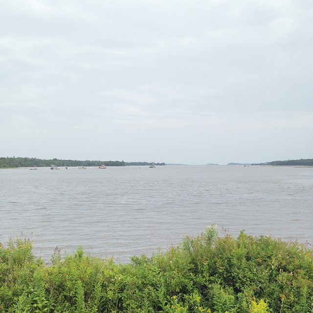
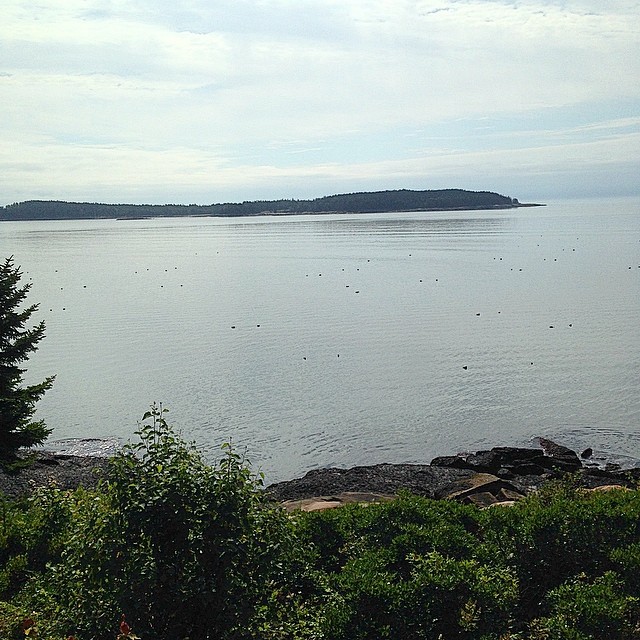
Morning View

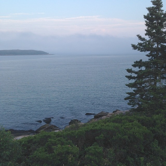
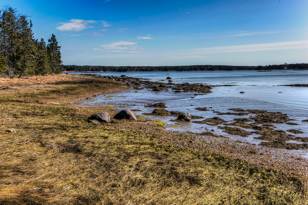
Low tide across The Reach, towards North Island

Guestbook drawing Jonesport rental

Pinkham Bay

Somewhere in Maine

Sunset at Pinkham Bay

view from a deck
I like this view.
New view. Coast of Maine.
Eastern Harbor View

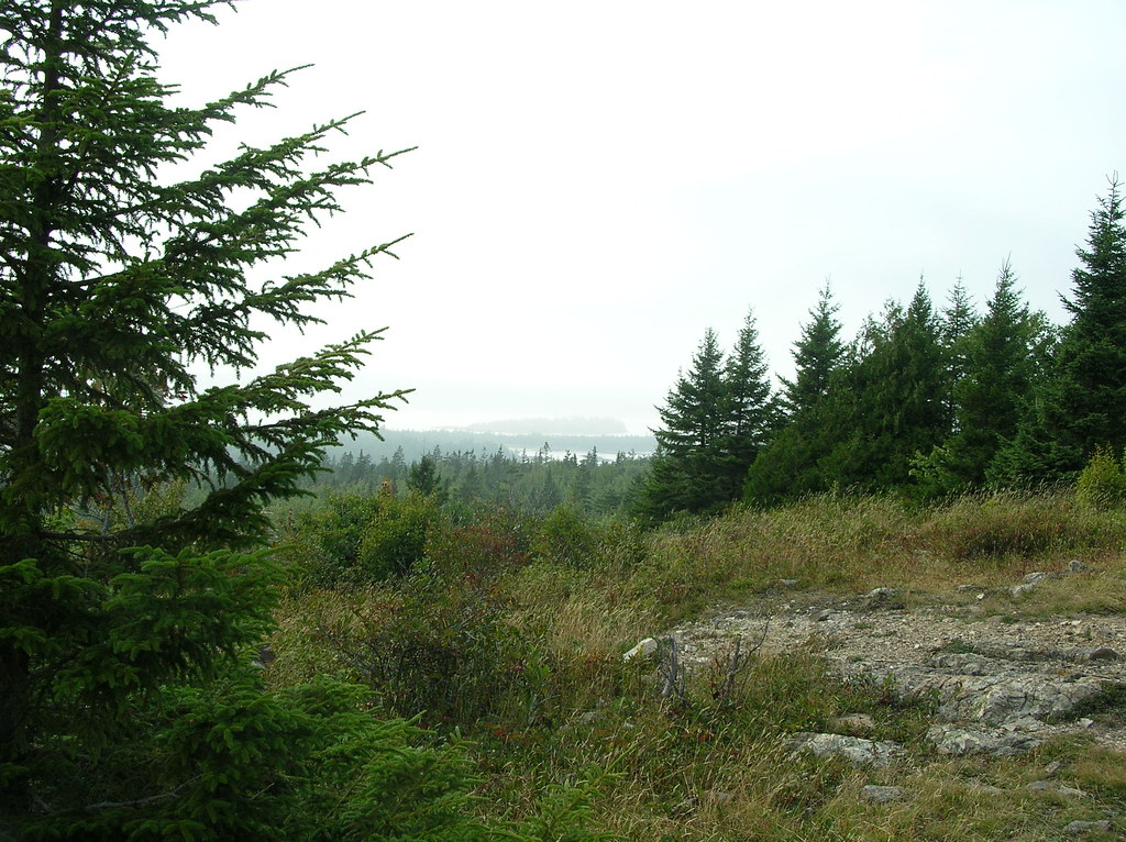
View from Pigeon Hill

This is kind of a nice view.

My view for the next week

Pigeon Hill

Awesome View

Kitchen am view
Pigeon Hill

Awesome View

Pigeon Hill view
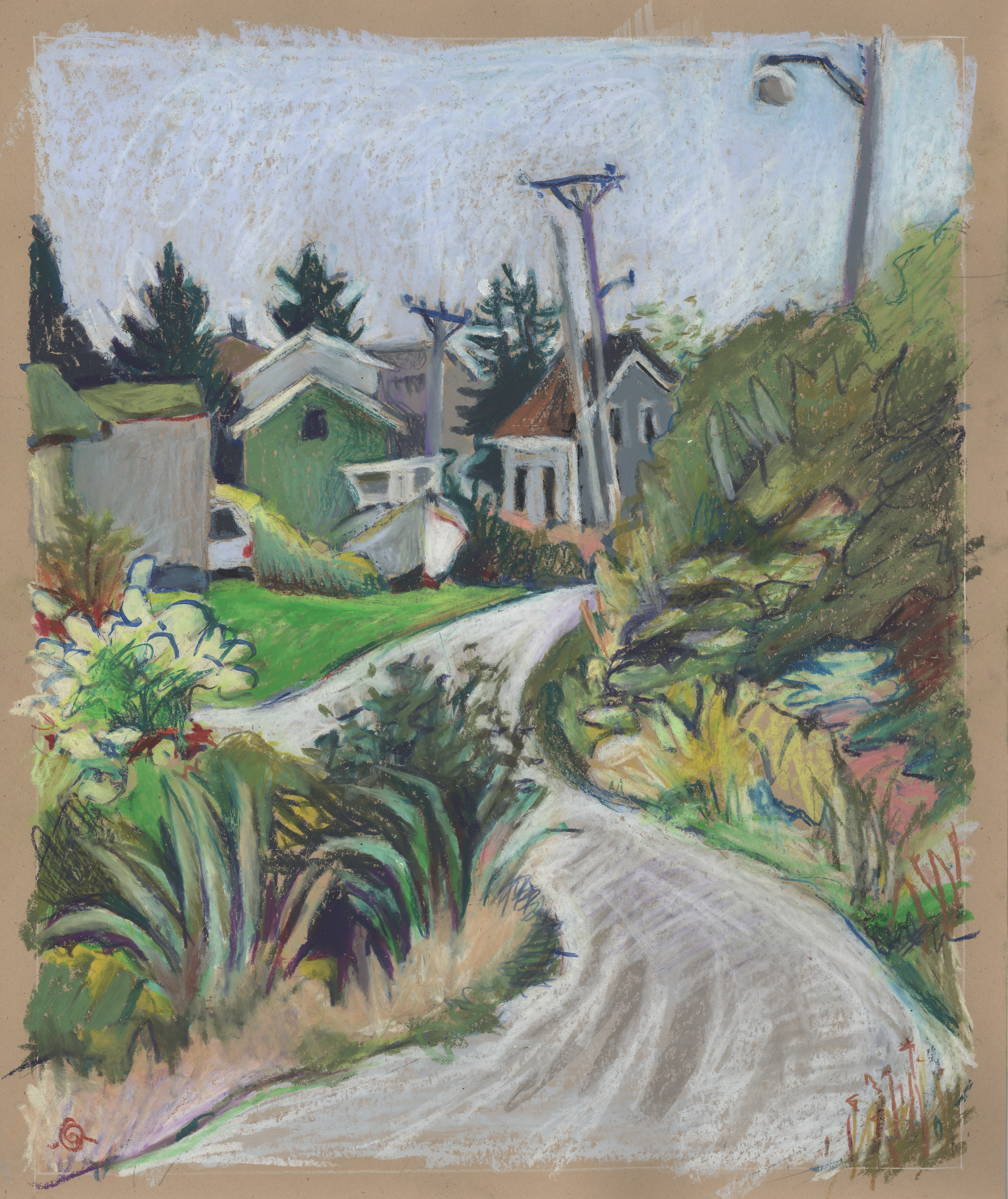
S-curve on Hopkins Point Road

Indian River Outside-Zinnias Inside

Some Sweet

Smith Lobster

Long flat cloud over Moosabec Reach I

Eagle Island - South Addison, Maine

Pinkham Bay

Sunset from Hopkins Point

Long flat cloud over Moosabec Reach II

Just scenery

Acadia National Park
It's of lobster buoys in what little sun there is today.

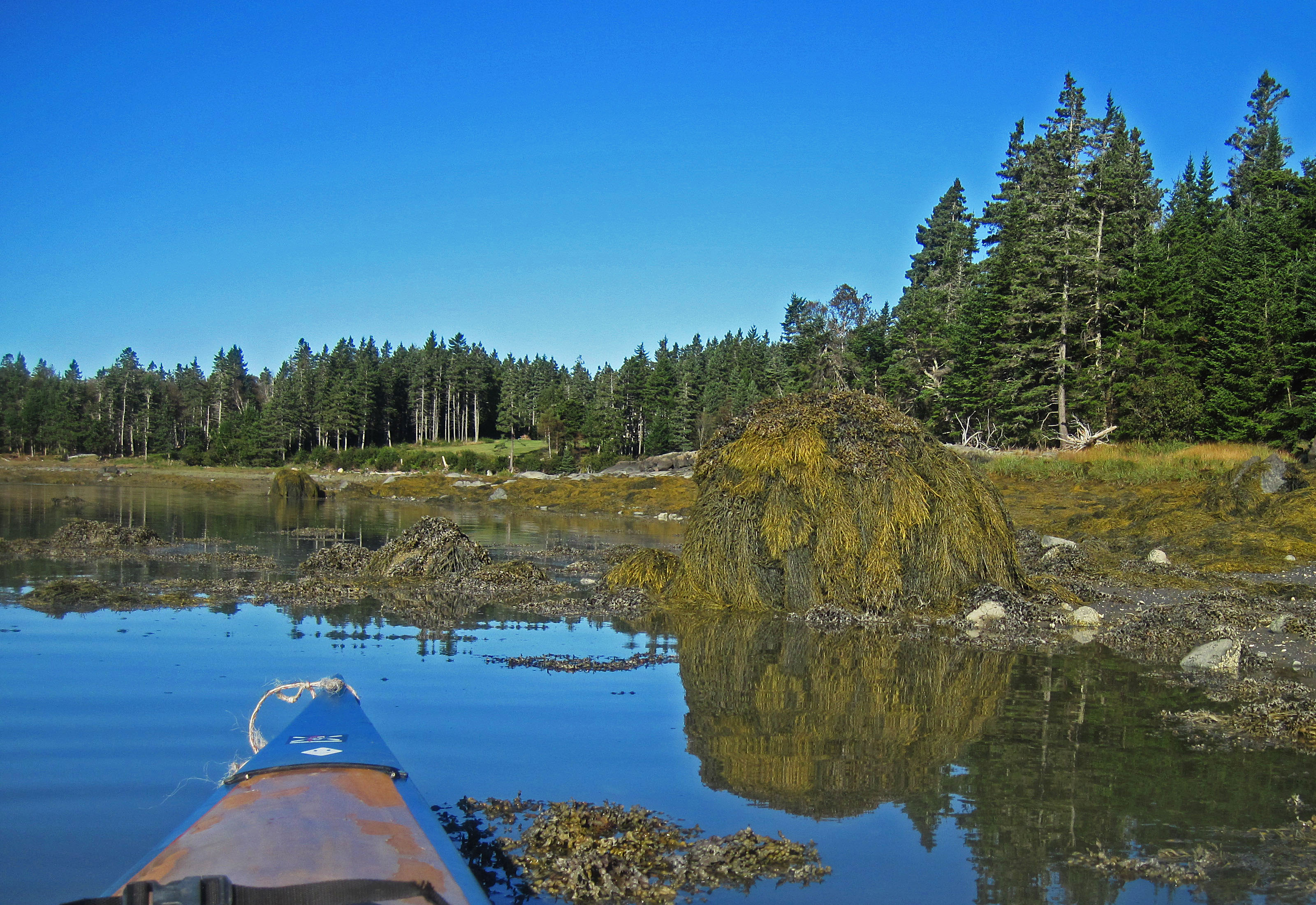
Looking west across Pinkham Bay
Todd and Kathy's shoreline
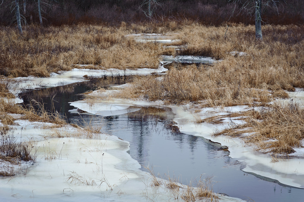
Tunk Stream tributary

Super Moon Setting

Evening calm along Tunk
Topographic Map of Putnam Dr, Harrington, ME, USA
Find elevation by address:

Places near Putnam Dr, Harrington, ME, USA:
141 Putnam Dr
213 Oak Point Rd
Kennedy Hwy, Harrington, ME, USA
Harrington
Marshville Rd, Harrington, ME, USA
Reef Point Road
East Side Road
Addison
22 Marsh Harbor Rd
Gilman Wass Road
8 Seaside Dr
1208 Basin Rd
Lee's Auto Repair
10 Bay Dr
10 Bay Dr
10 Bay Dr
10 Bay Dr
10 Bay Dr
251 Masons Bay Rd
29 Indian Point Rd
Recent Searches:
- Elevation of Corso Fratelli Cairoli, 35, Macerata MC, Italy
- Elevation of Tallevast Rd, Sarasota, FL, USA
- Elevation of 4th St E, Sonoma, CA, USA
- Elevation of Black Hollow Rd, Pennsdale, PA, USA
- Elevation of Oakland Ave, Williamsport, PA, USA
- Elevation of Pedrógão Grande, Portugal
- Elevation of Klee Dr, Martinsburg, WV, USA
- Elevation of Via Roma, Pieranica CR, Italy
- Elevation of Tavkvetili Mountain, Georgia
- Elevation of Hartfords Bluff Cir, Mt Pleasant, SC, USA