Elevation of Deblois, ME, USA
Location: United States > Maine > Washington County >
Longitude: -68.014730
Latitude: 44.7414636
Elevation: 60m / 197feet
Barometric Pressure: 101KPa
Elevation Map:
Satellite Map:
Related Photos:
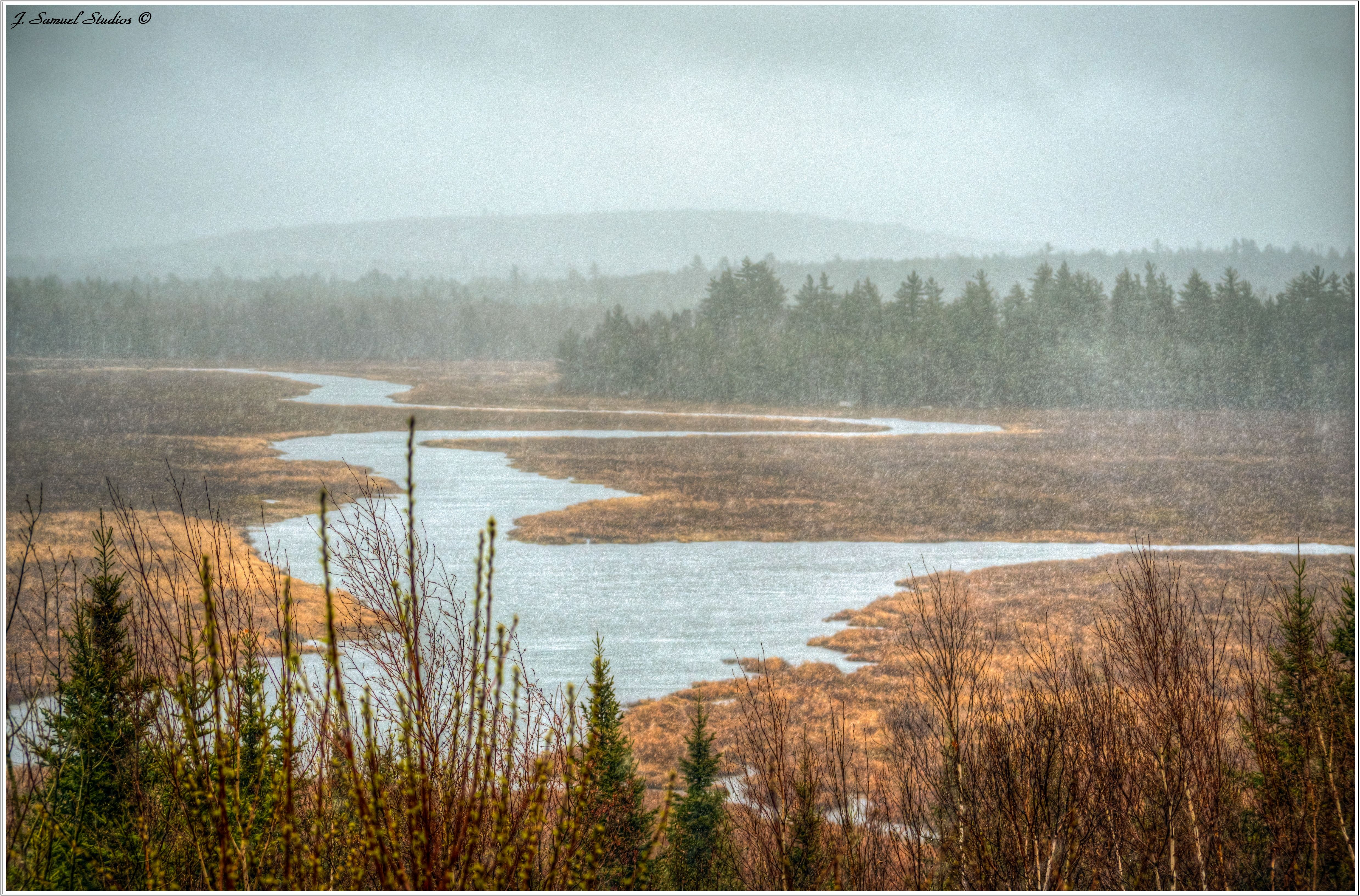
A Rainy Maine...
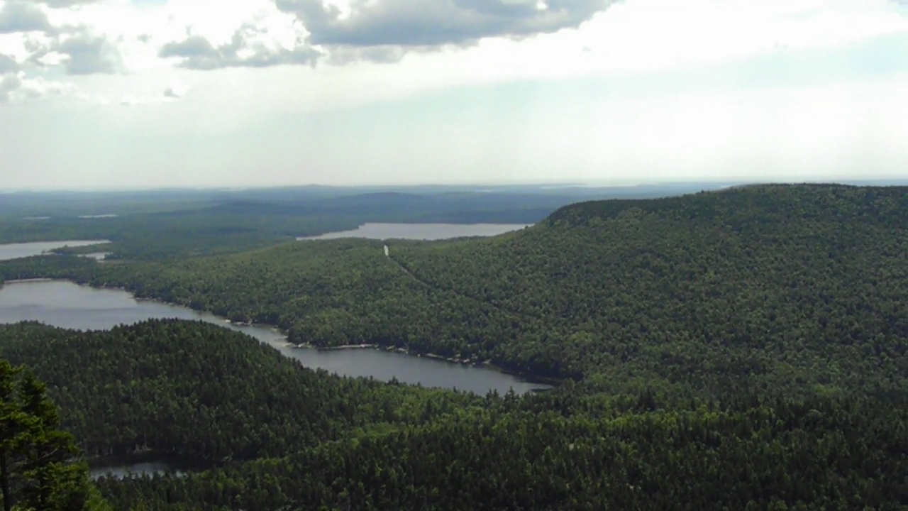
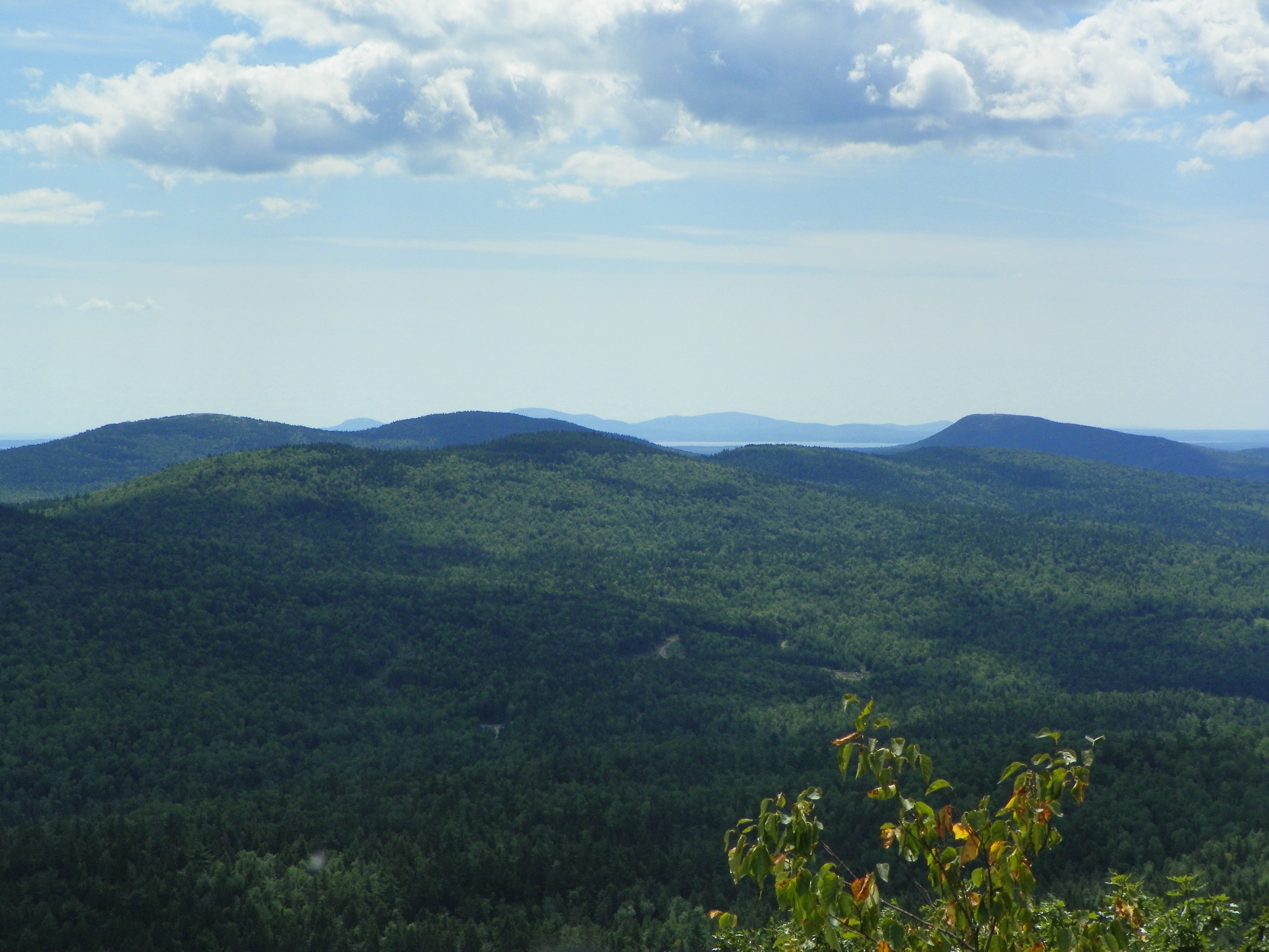
View of Tunk Mountain from Popple Hill
Tunk Mountain hike
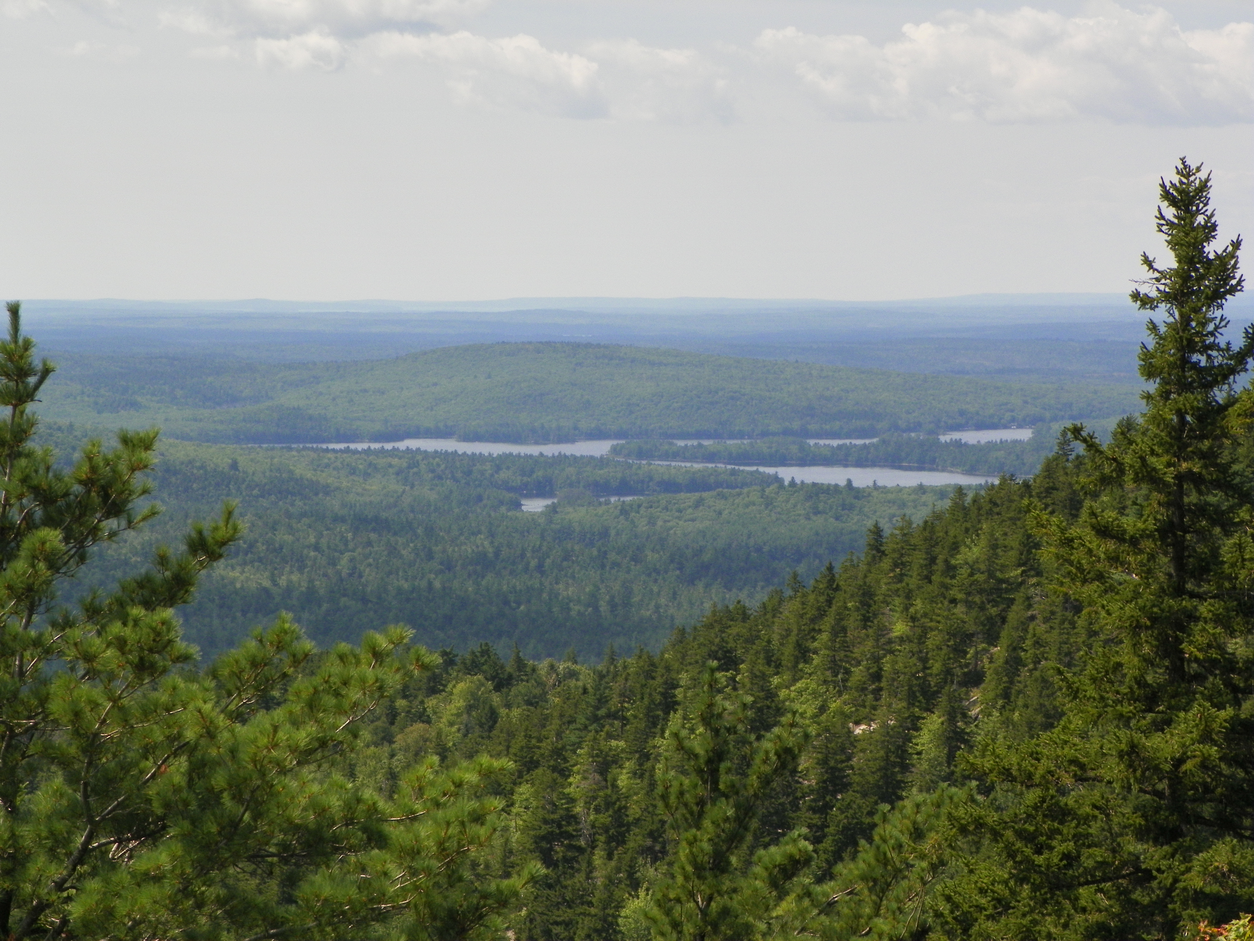
Tunk Mountain hike
View off the dock. Look, no people!!! #maine #vacation #happy

Tunk Mountain Wilderness - Maine

Tunk Mountain Wilderness 2 - Maine
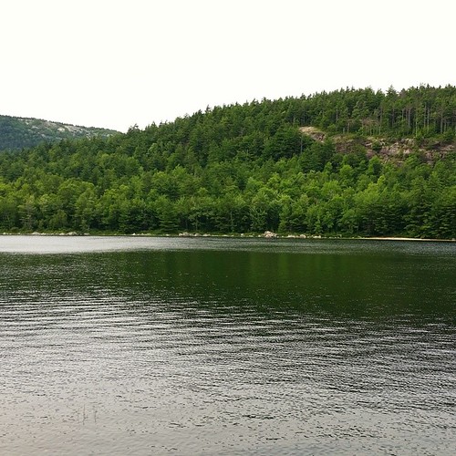
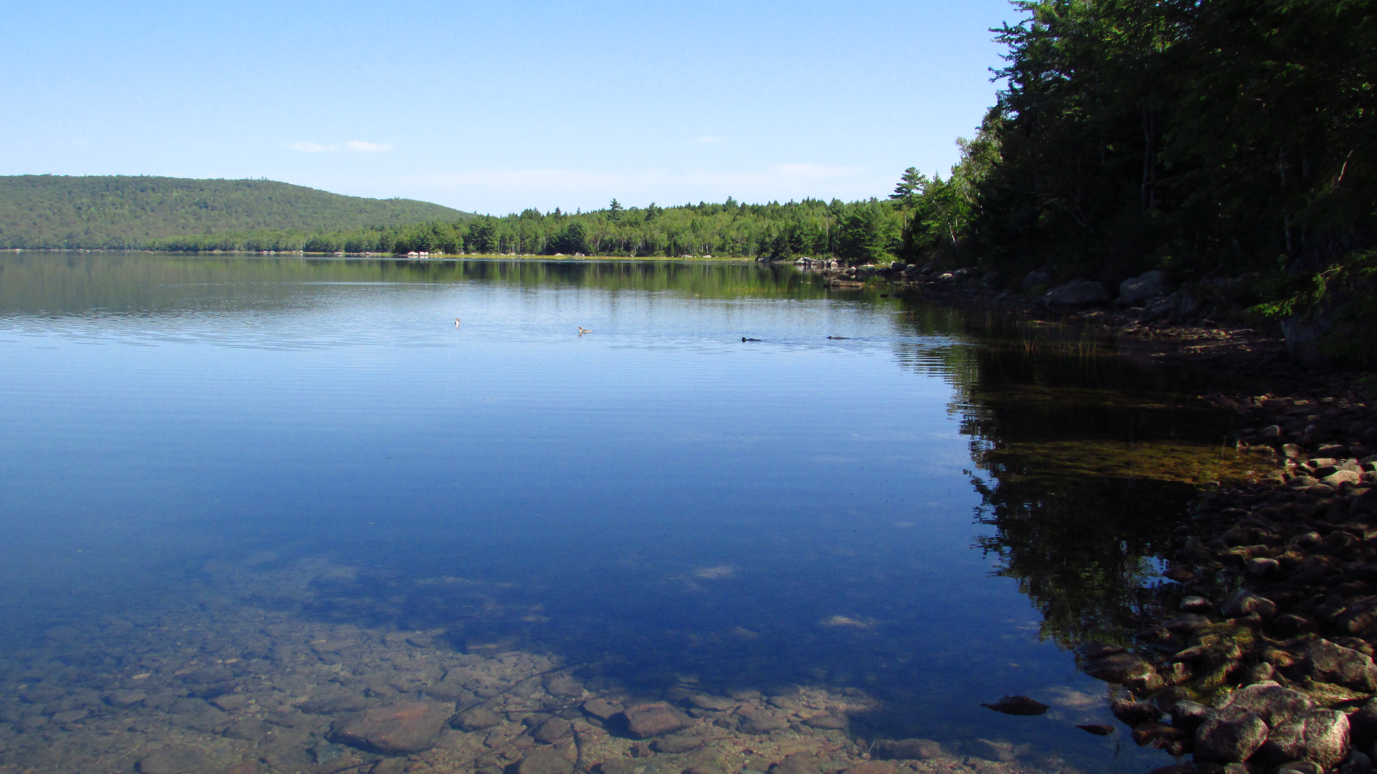
Spring River Lake
Spring River Lake
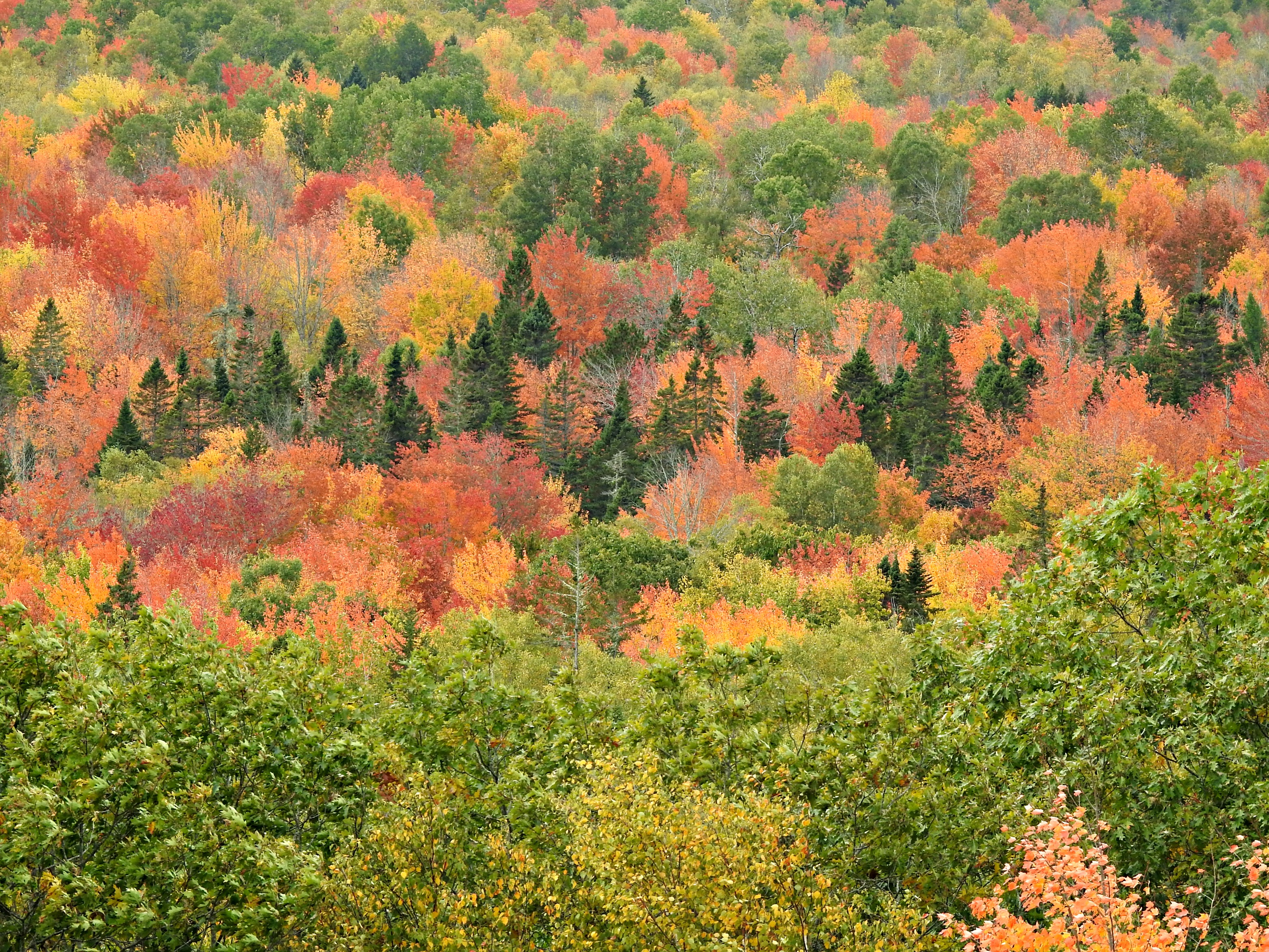
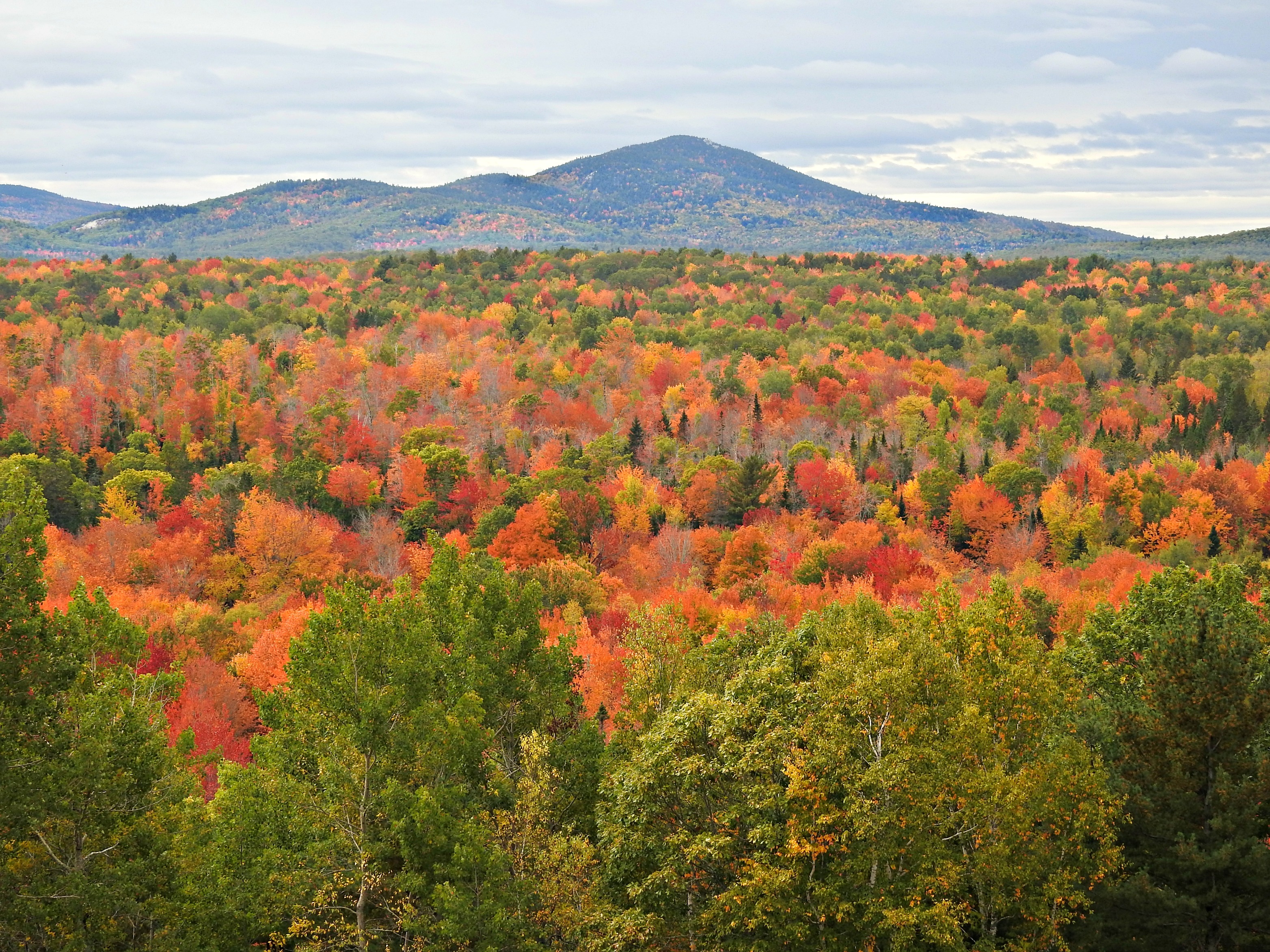
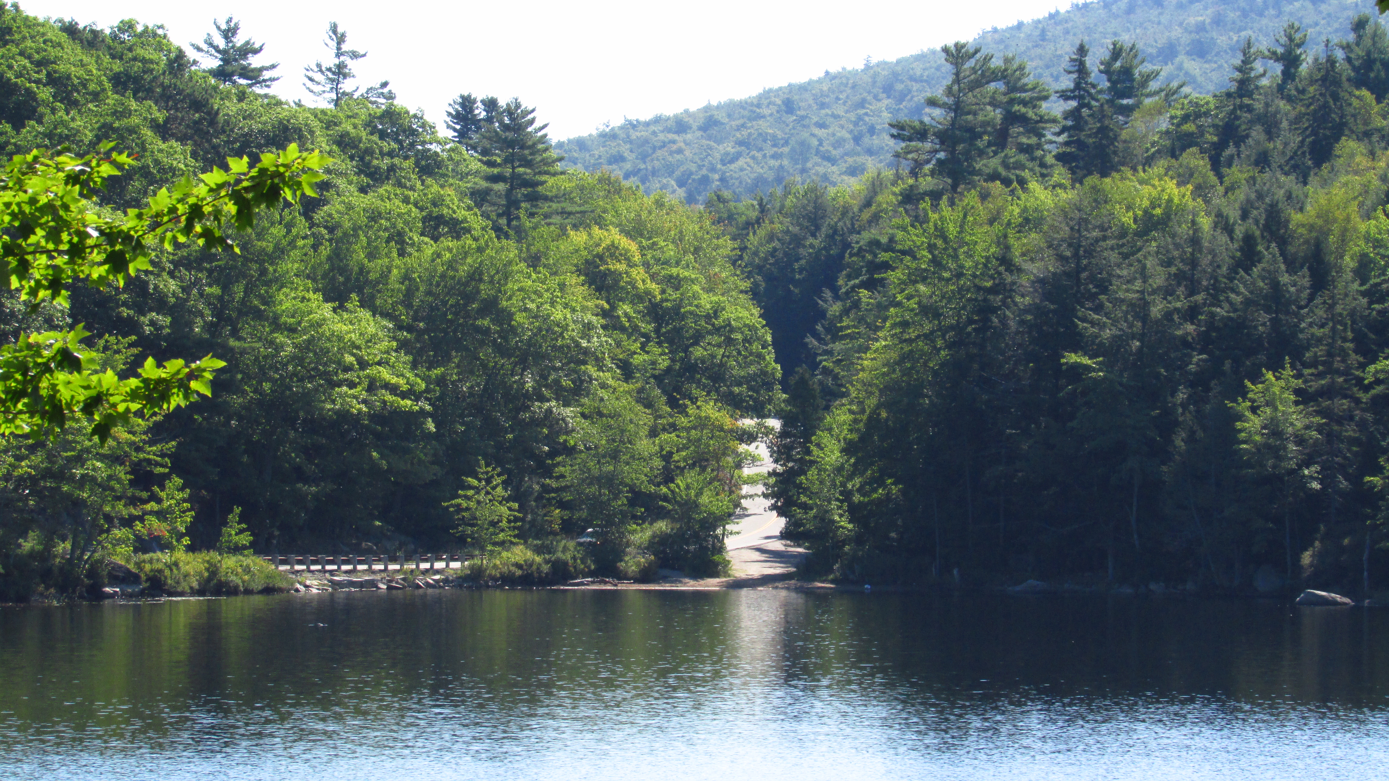
Popple Hill

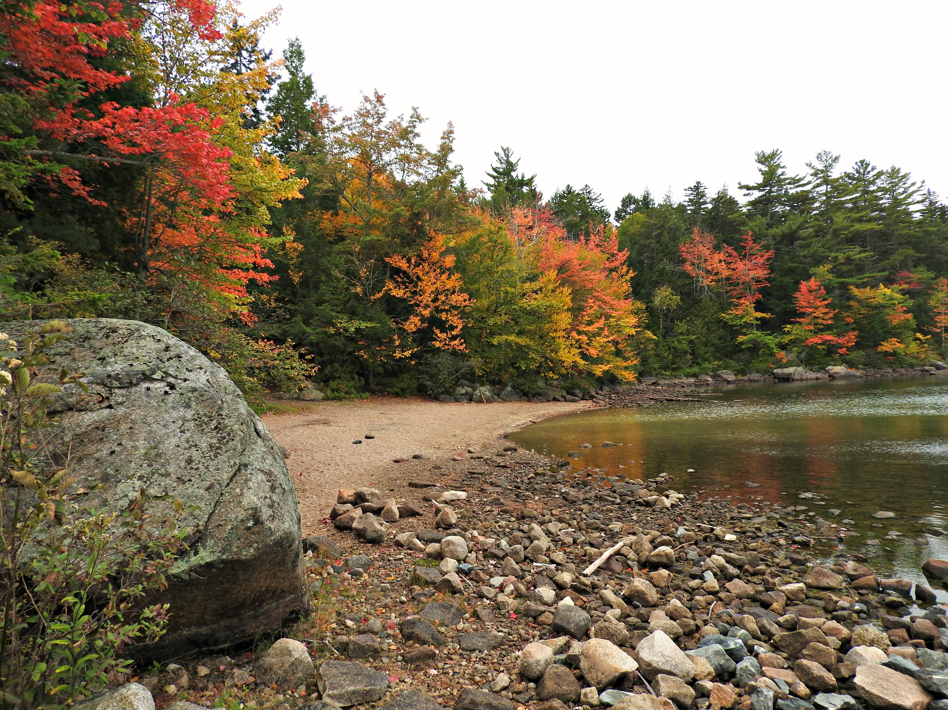
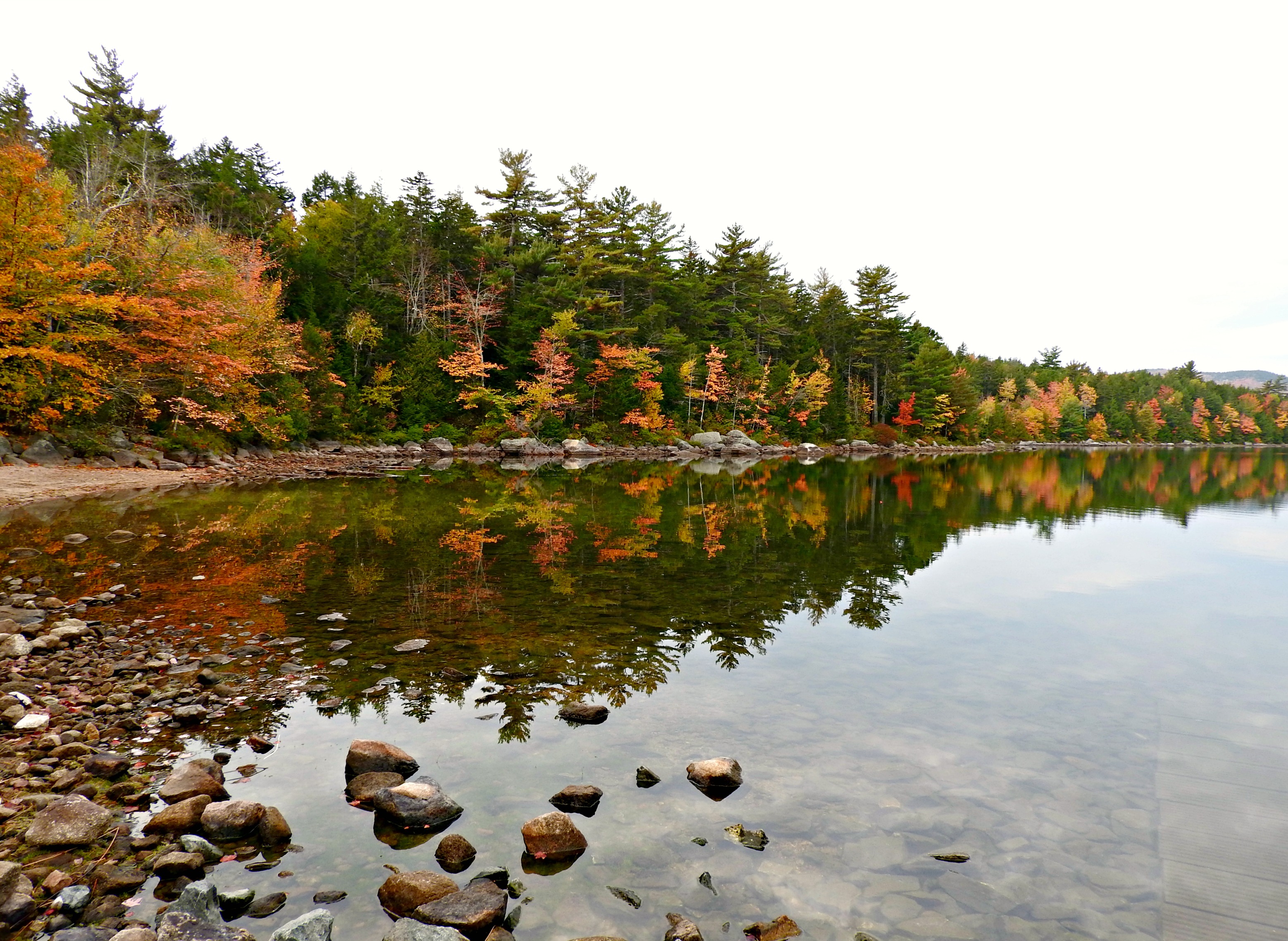
Fox Pond
Spring River Lake
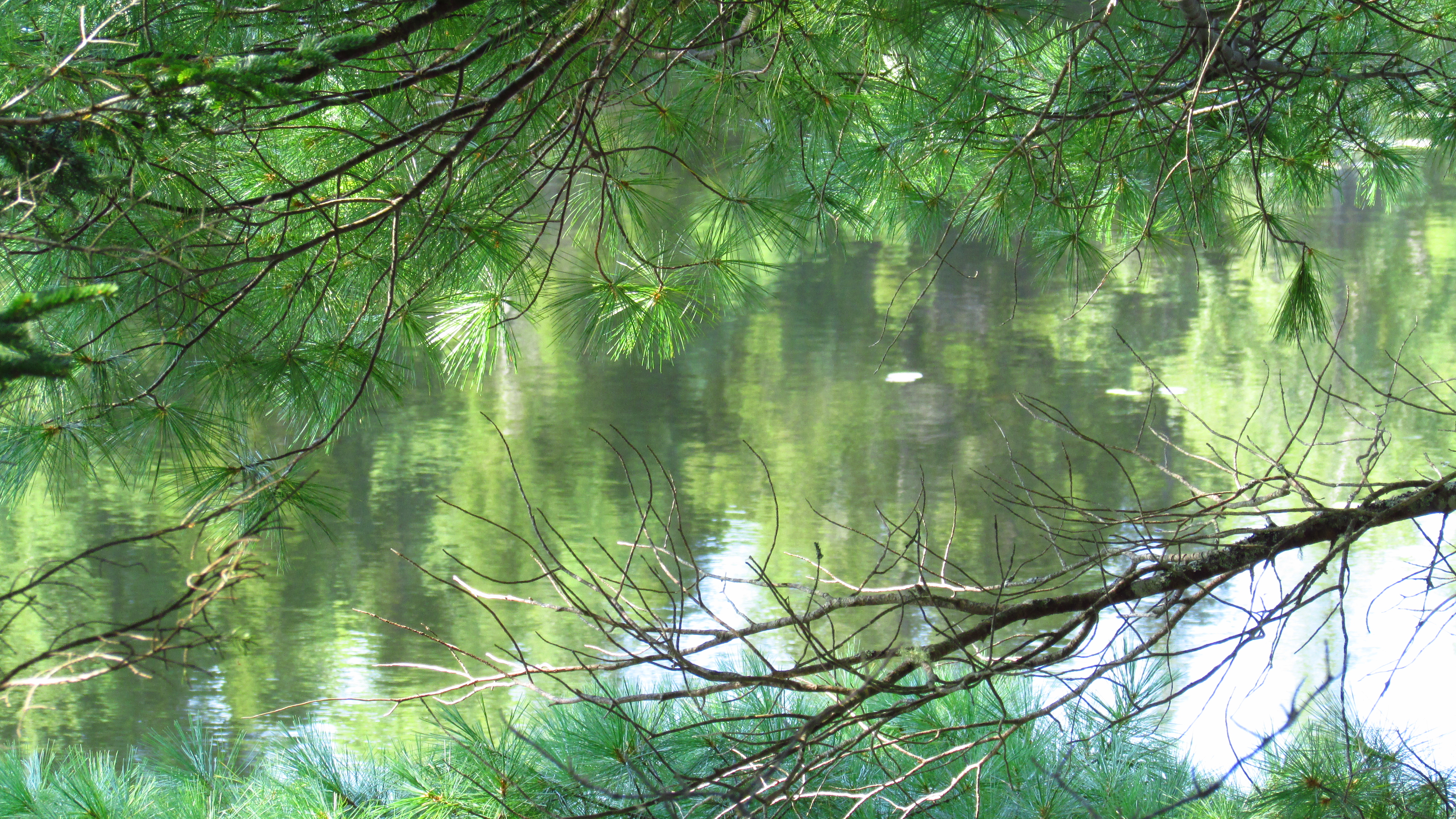
Fox Pond
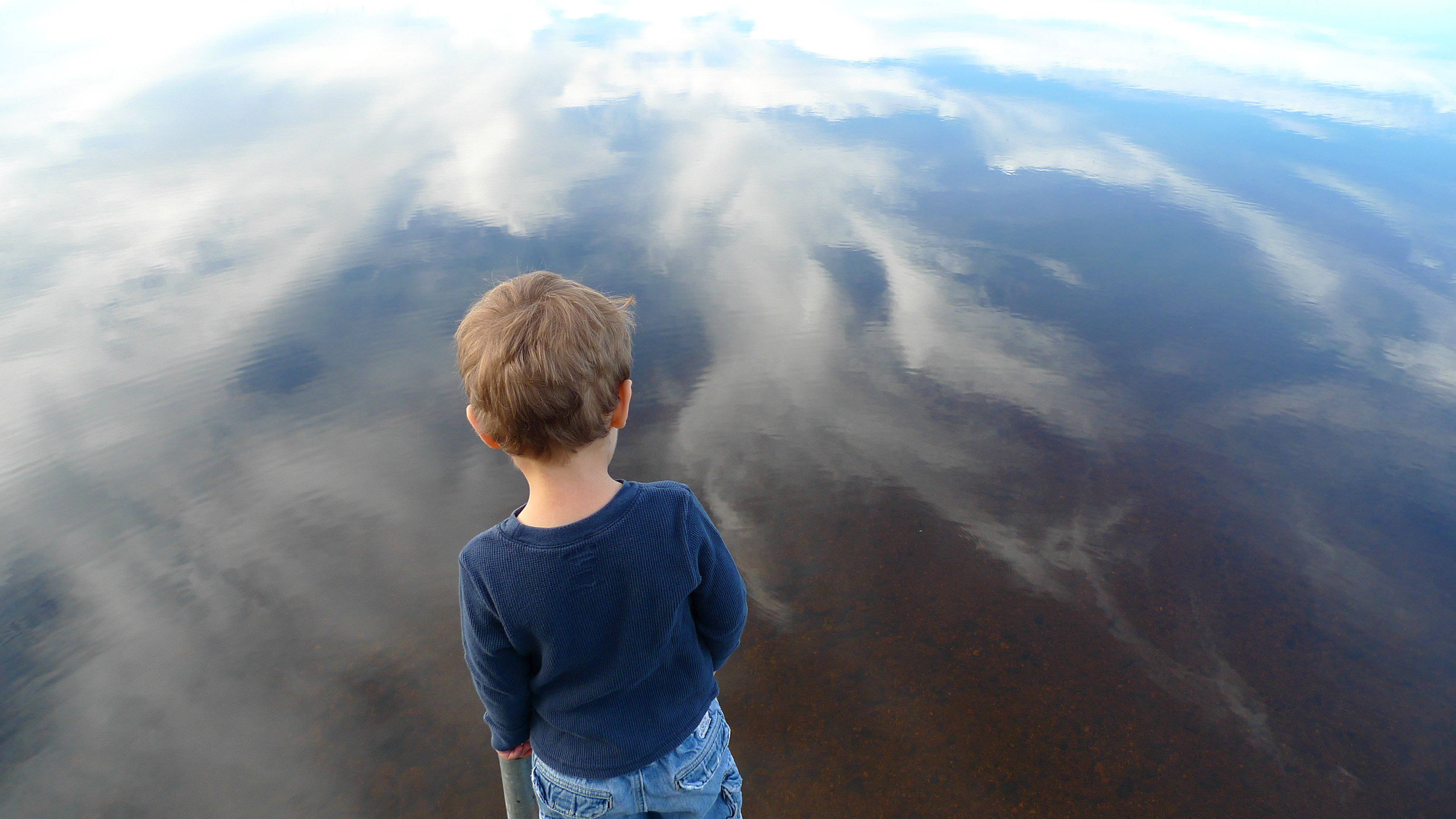
Edge of the World, part 2

Fox Pond

Wyman blueberry farm, cherry field, maine
Fox Pond

Cheap Labor

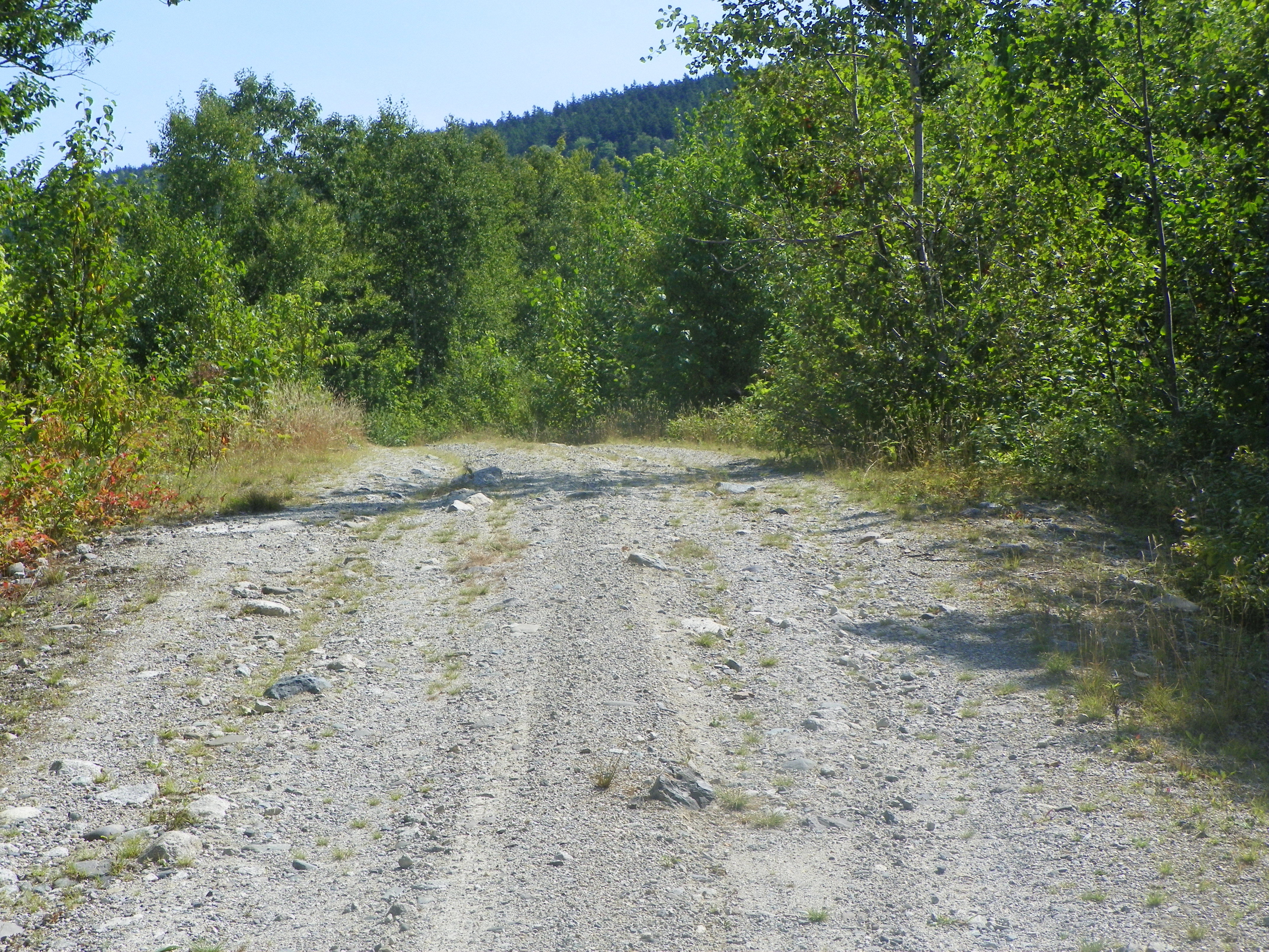
Pineo Ridge
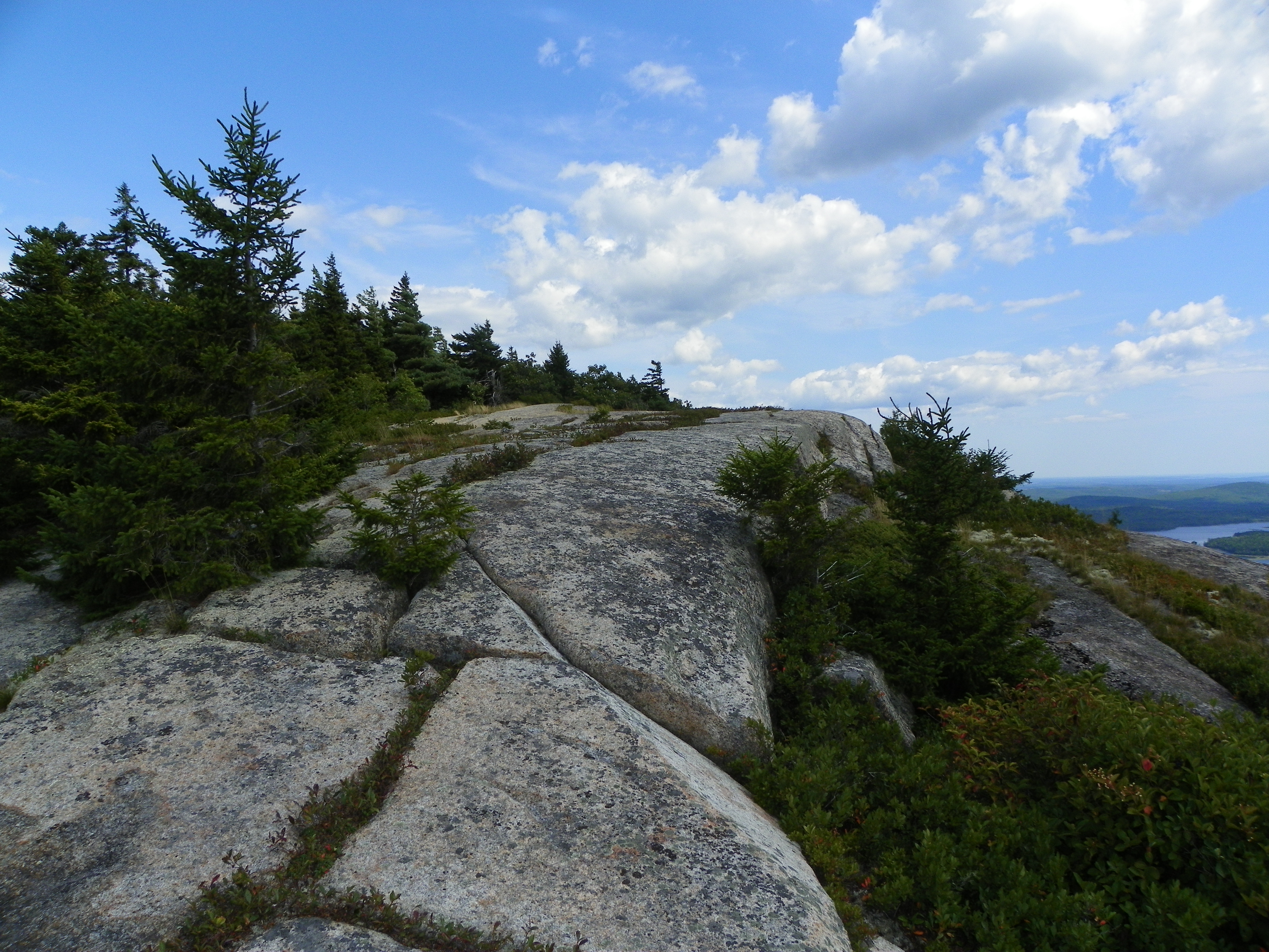
Tunk Mountain hike
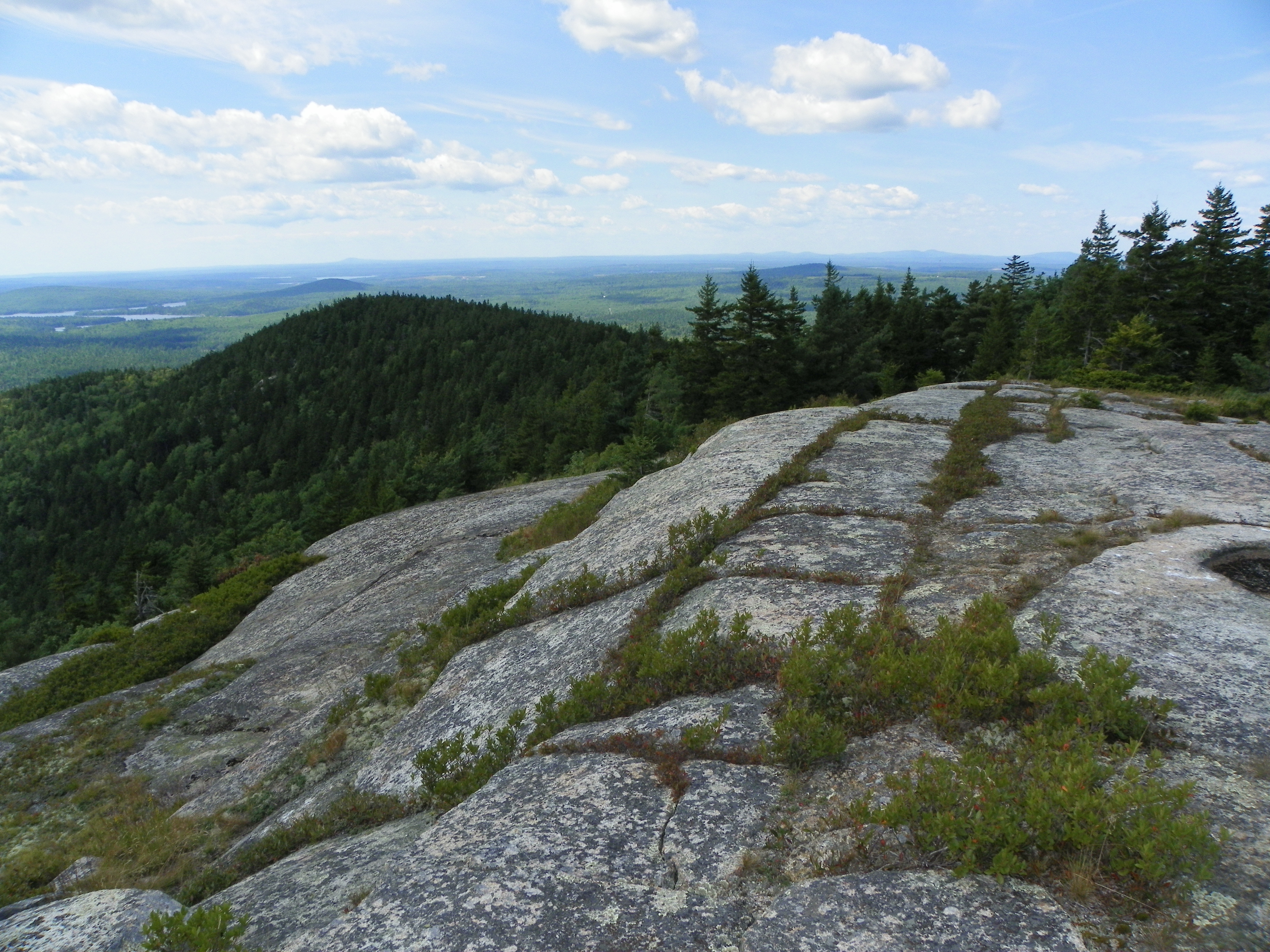
Tunk Mountain hike
Tunk Mountain hike

Watering the blueberry fields
Tunk Mountain hike
Topographic Map of Deblois, ME, USA
Find elevation by address:

Places near Deblois, ME, USA:
Beddington Rd, Deblois, ME, USA
Beddington Rd, Beddington, ME, USA
Southwest Pond Road
Beddington
Hilltop Lane
Ridge Road
1050 Unionville Rd
129 Main St
Cherryfield
9 N Main St
Kennedy Hwy, Harrington, ME, USA
684 Tunk Lake Rd
Loon Dr, Sullivan, ME, USA
East Side Road
1617 Us-1 #1a
Steuben
Harrington
213 Oak Point Rd
10 Main St
Milbridge
Recent Searches:
- Elevation of Corso Fratelli Cairoli, 35, Macerata MC, Italy
- Elevation of Tallevast Rd, Sarasota, FL, USA
- Elevation of 4th St E, Sonoma, CA, USA
- Elevation of Black Hollow Rd, Pennsdale, PA, USA
- Elevation of Oakland Ave, Williamsport, PA, USA
- Elevation of Pedrógão Grande, Portugal
- Elevation of Klee Dr, Martinsburg, WV, USA
- Elevation of Via Roma, Pieranica CR, Italy
- Elevation of Tavkvetili Mountain, Georgia
- Elevation of Hartfords Bluff Cir, Mt Pleasant, SC, USA