Elevation of Cutler, ME, USA
Location: United States > Maine > Washington County >
Longitude: -67.203873
Latitude: 44.6575794
Elevation: 8m / 26feet
Barometric Pressure: 101KPa
Elevation Map:
Satellite Map:
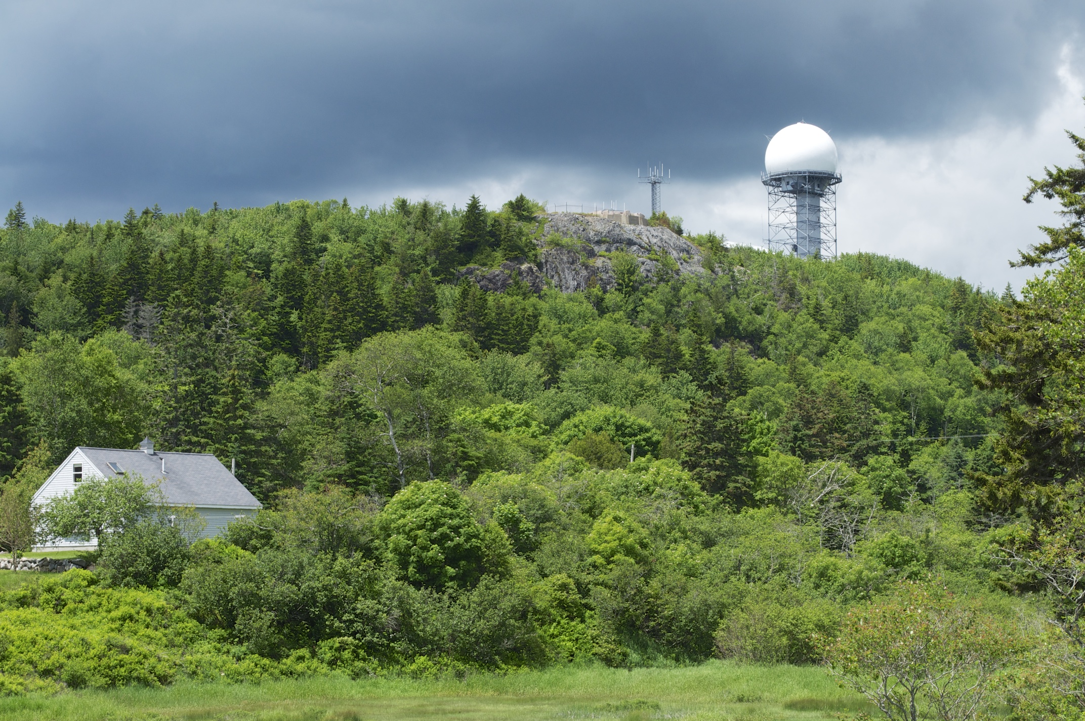
Related Photos:
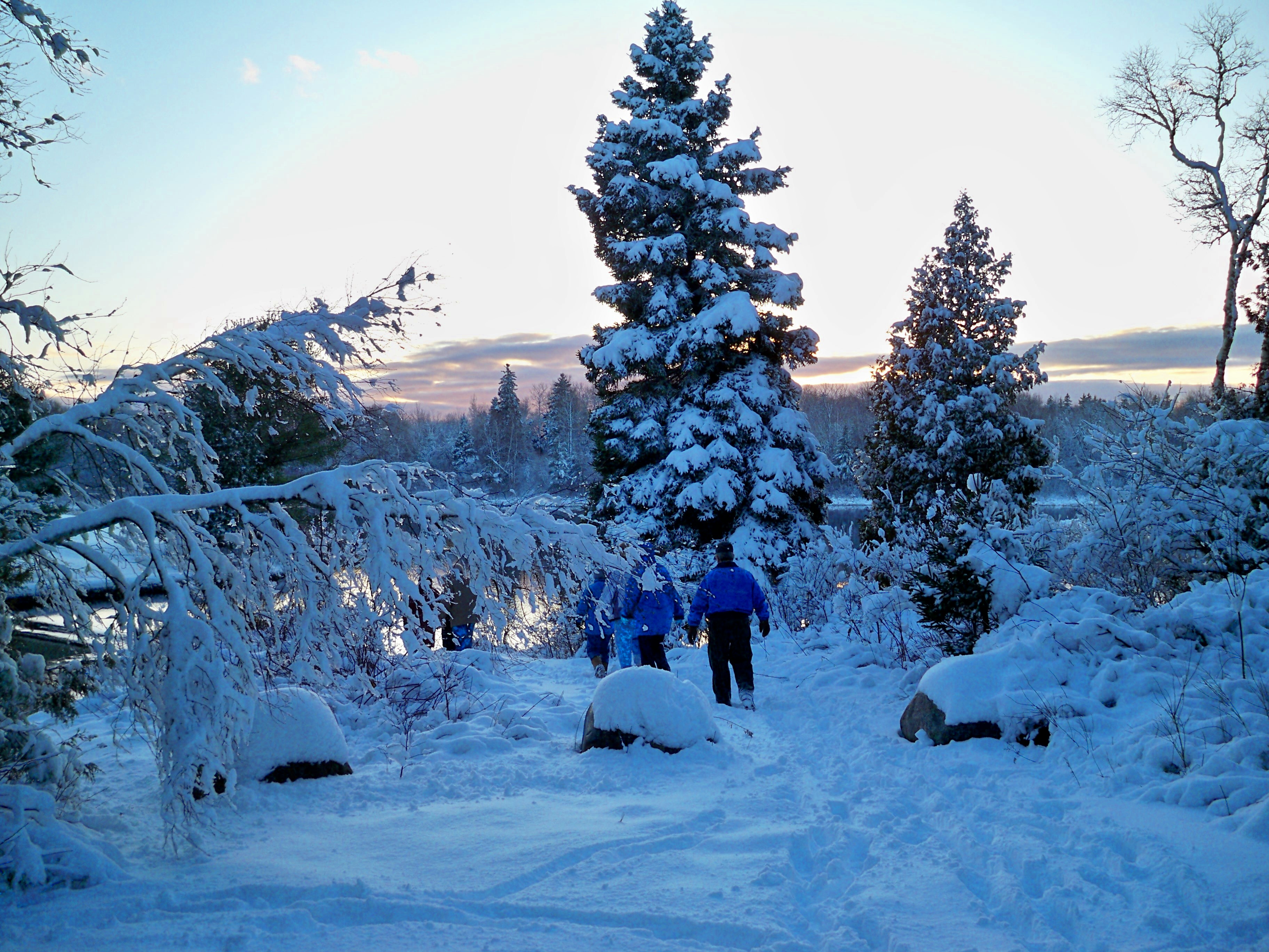
Happy Christmas.
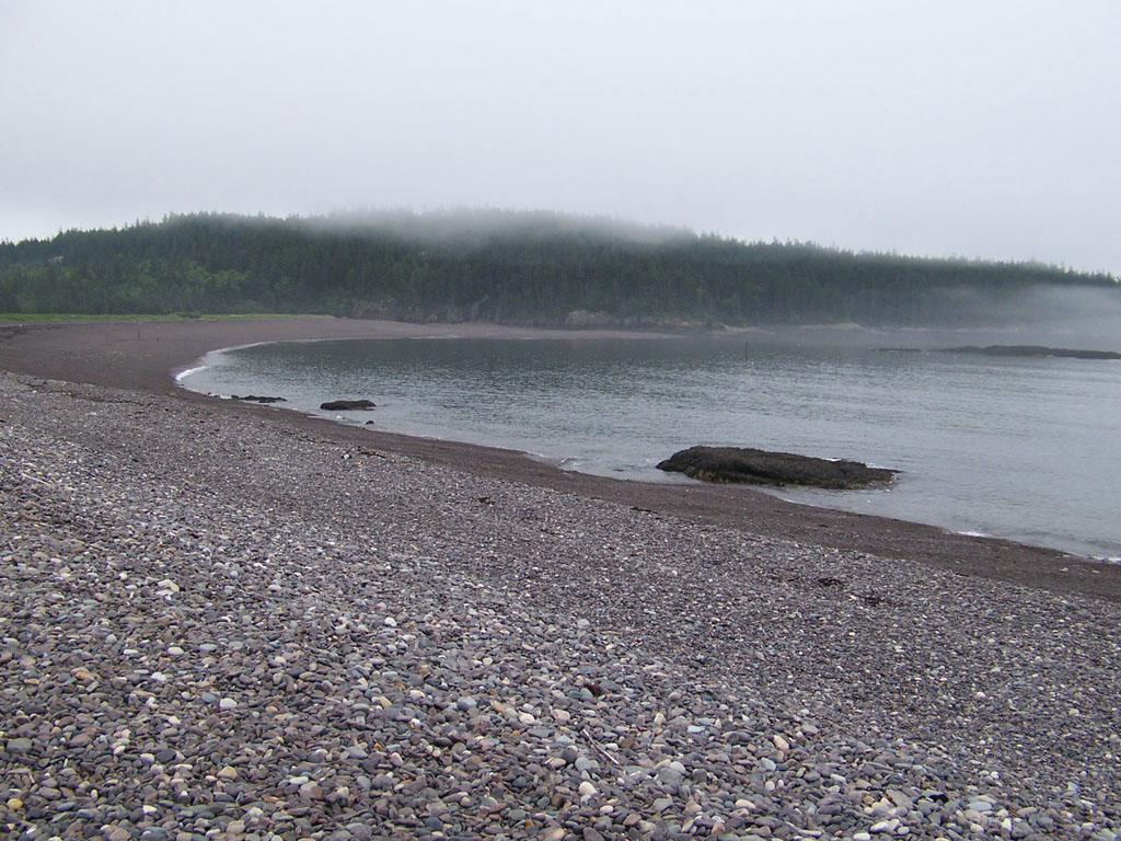
Jasper Beach
20150528-170900
20150528-170550
20150528-170943
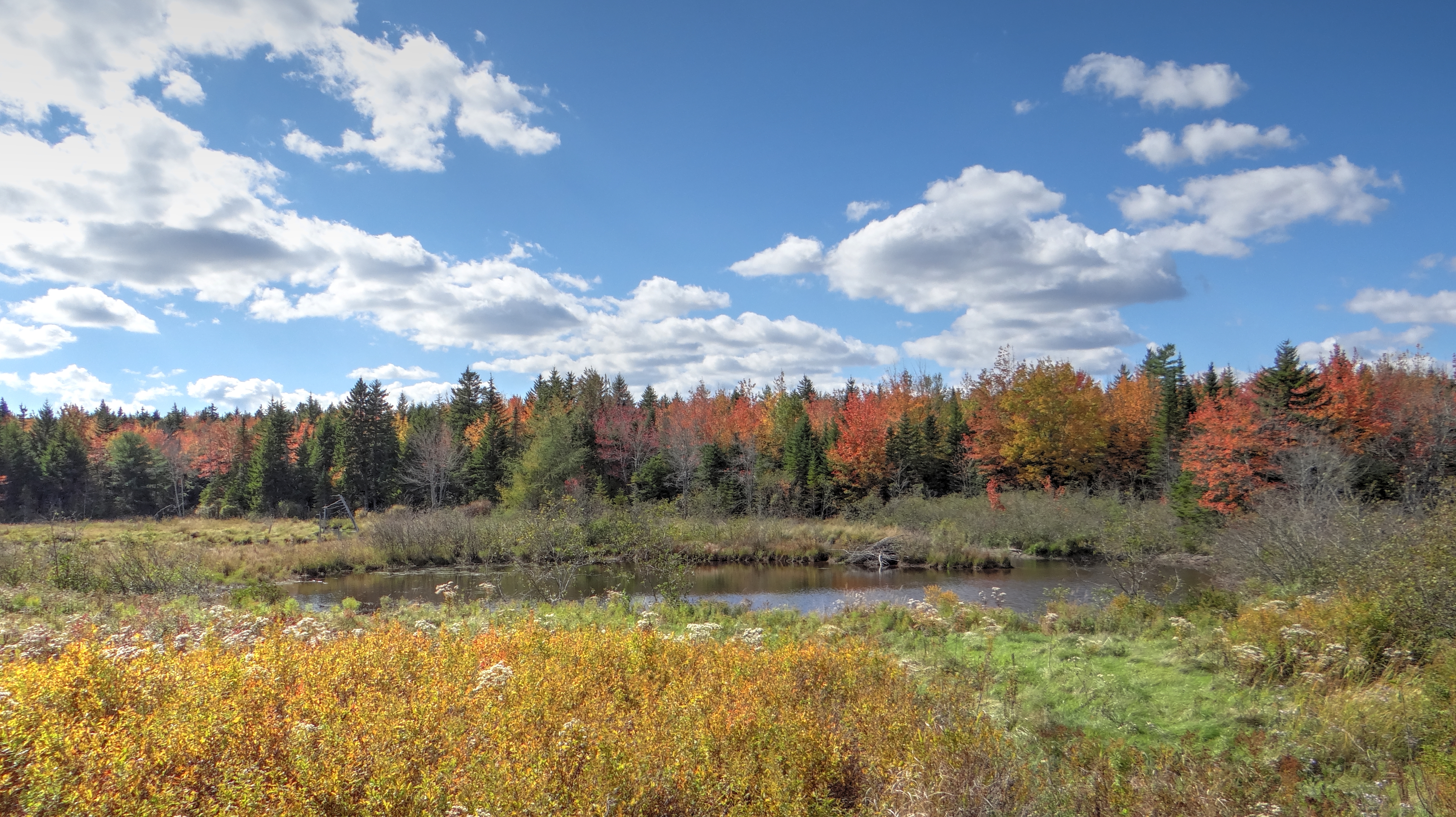
Fall in Maine
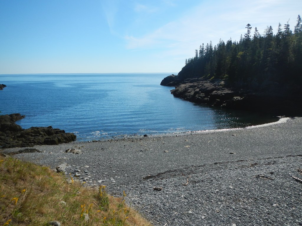
Fairy Head
mary@bogbrookcove-11-2-13-cb
cutler 2012-06-28 at 12-11-35
20150528-165011
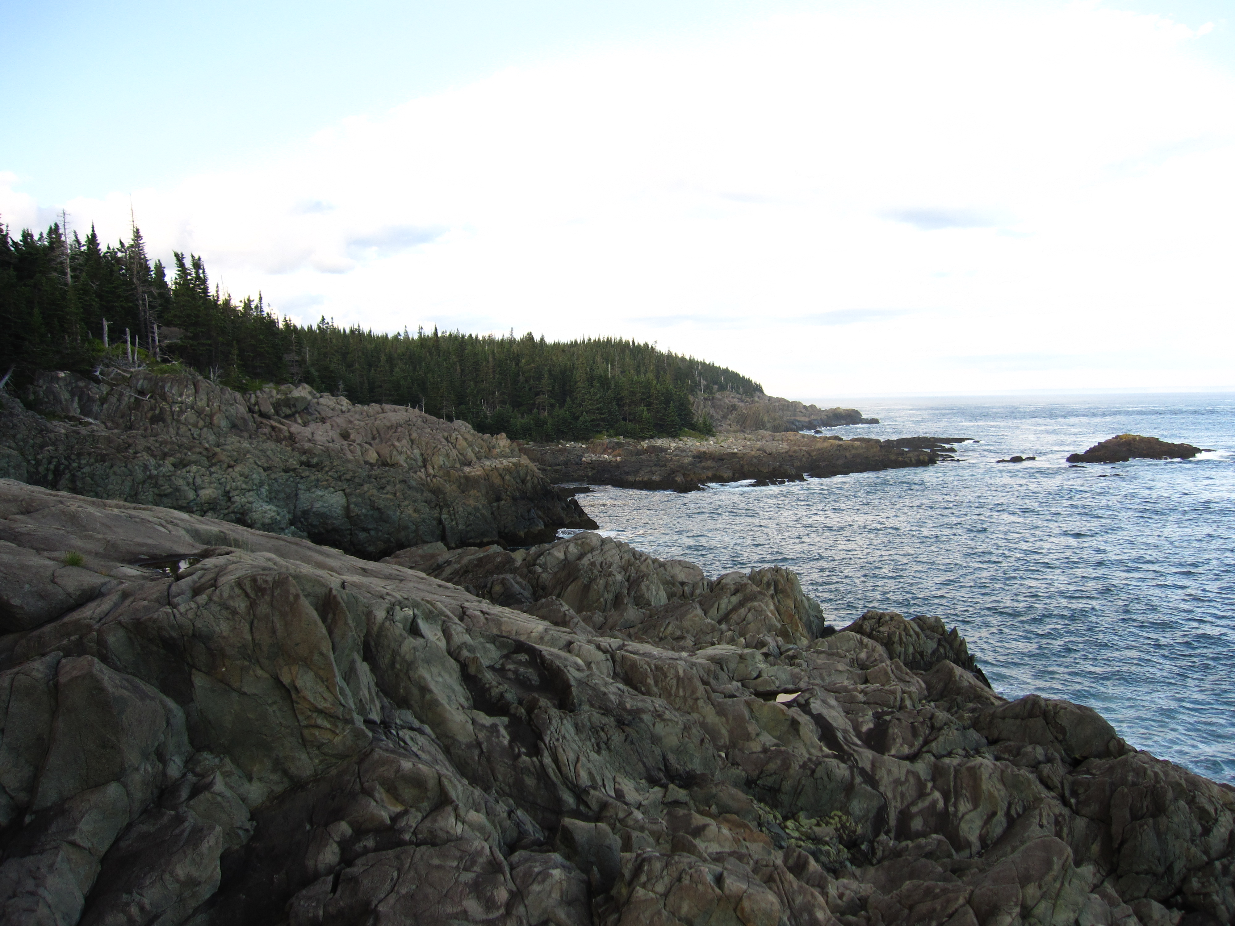
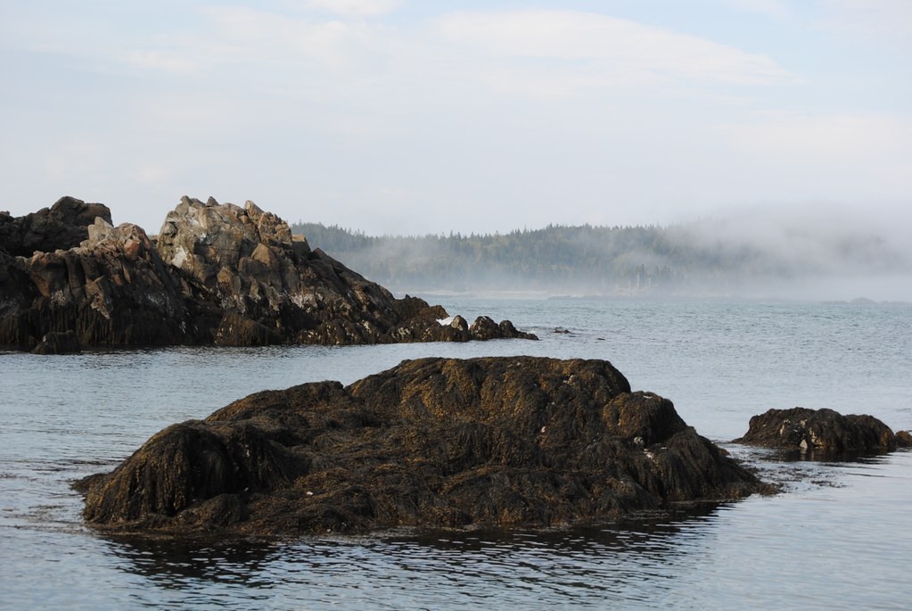
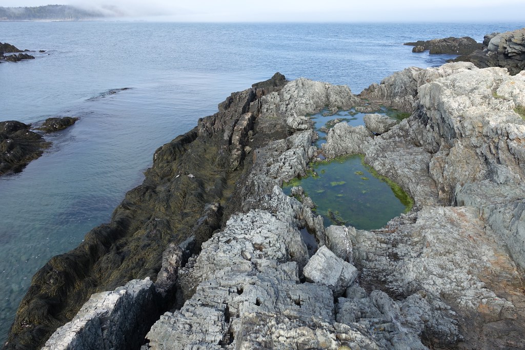
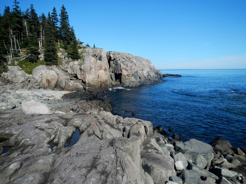
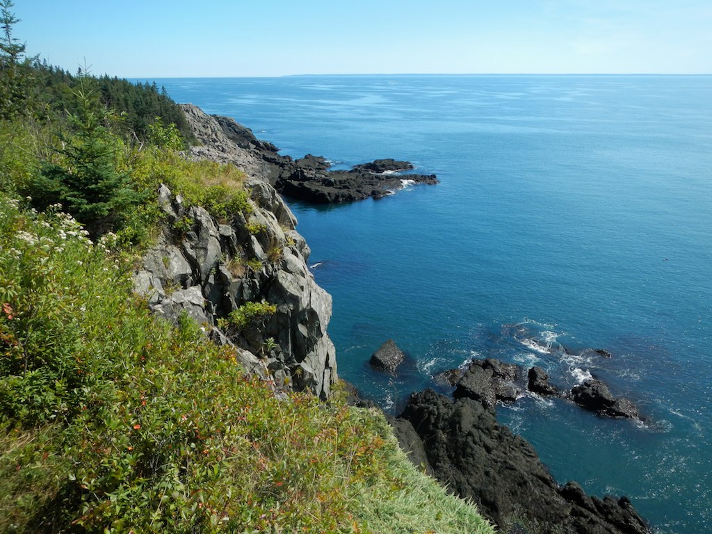
Bold Coast
20150528-171224
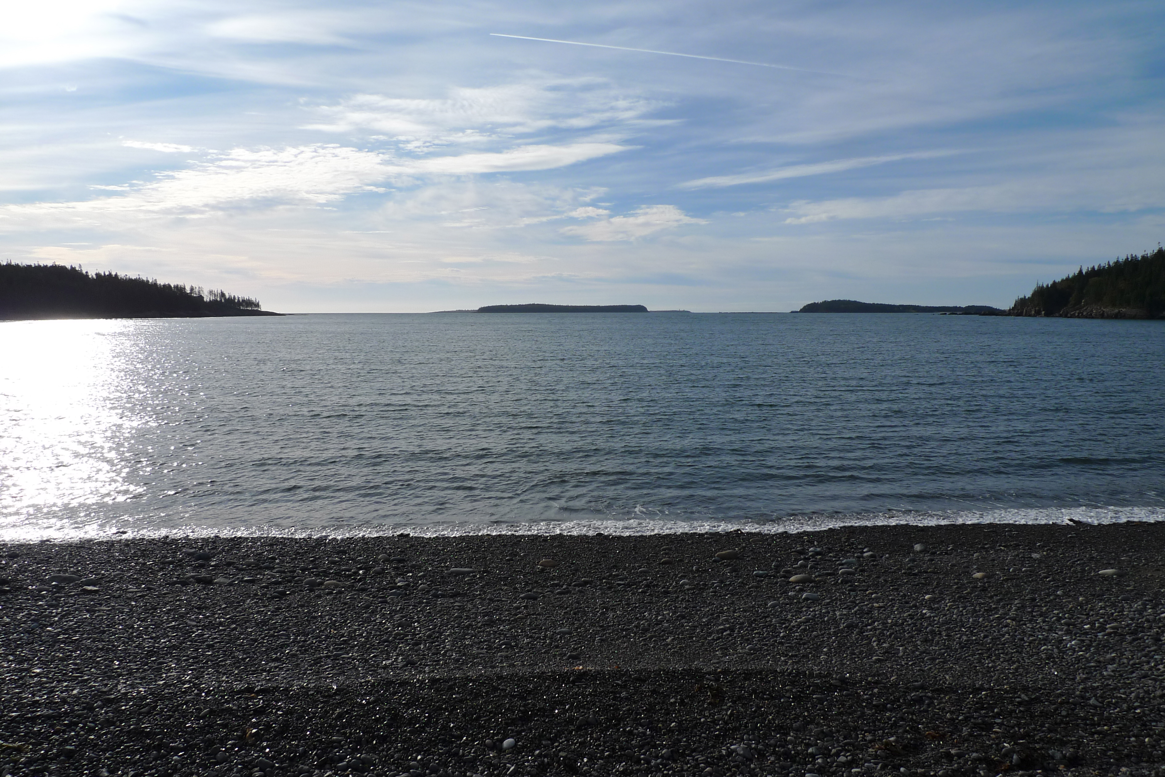
Jasper Beach, Maine
Light house
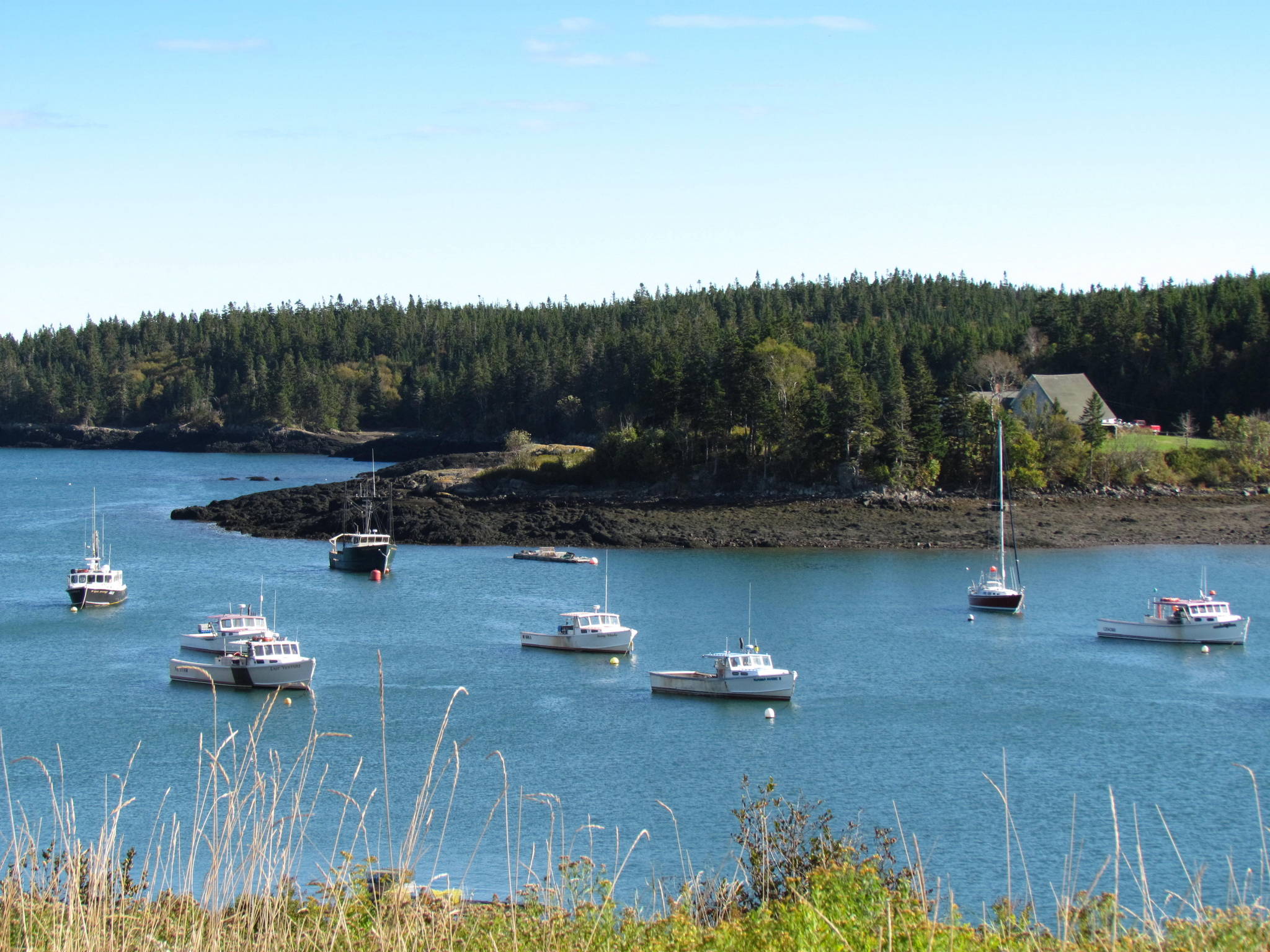
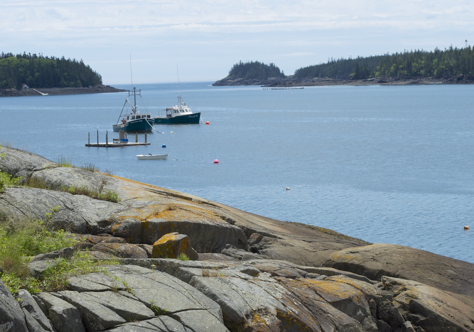
Cutler Harbor
Bold Coast Scene

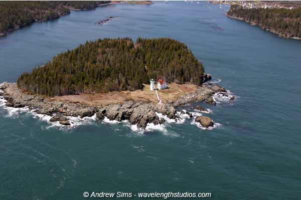
Little River Lighthouse, Cutler Maine
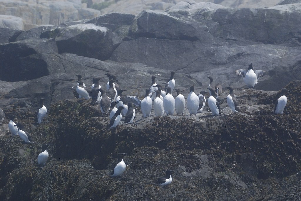
Common Murre and Razorbill6 M.S.I. ME 6:27:11
cutler 2012-06-28 at 11-18-06
Long Pond Cove
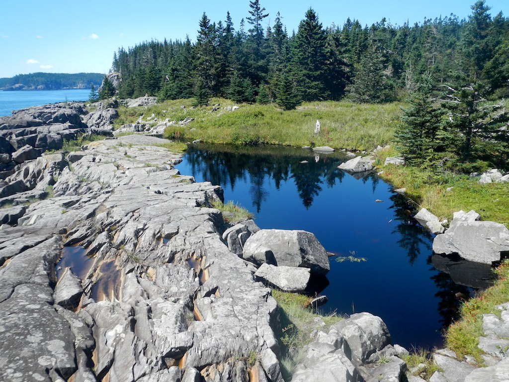
Fresh water pond fed by a small stream.
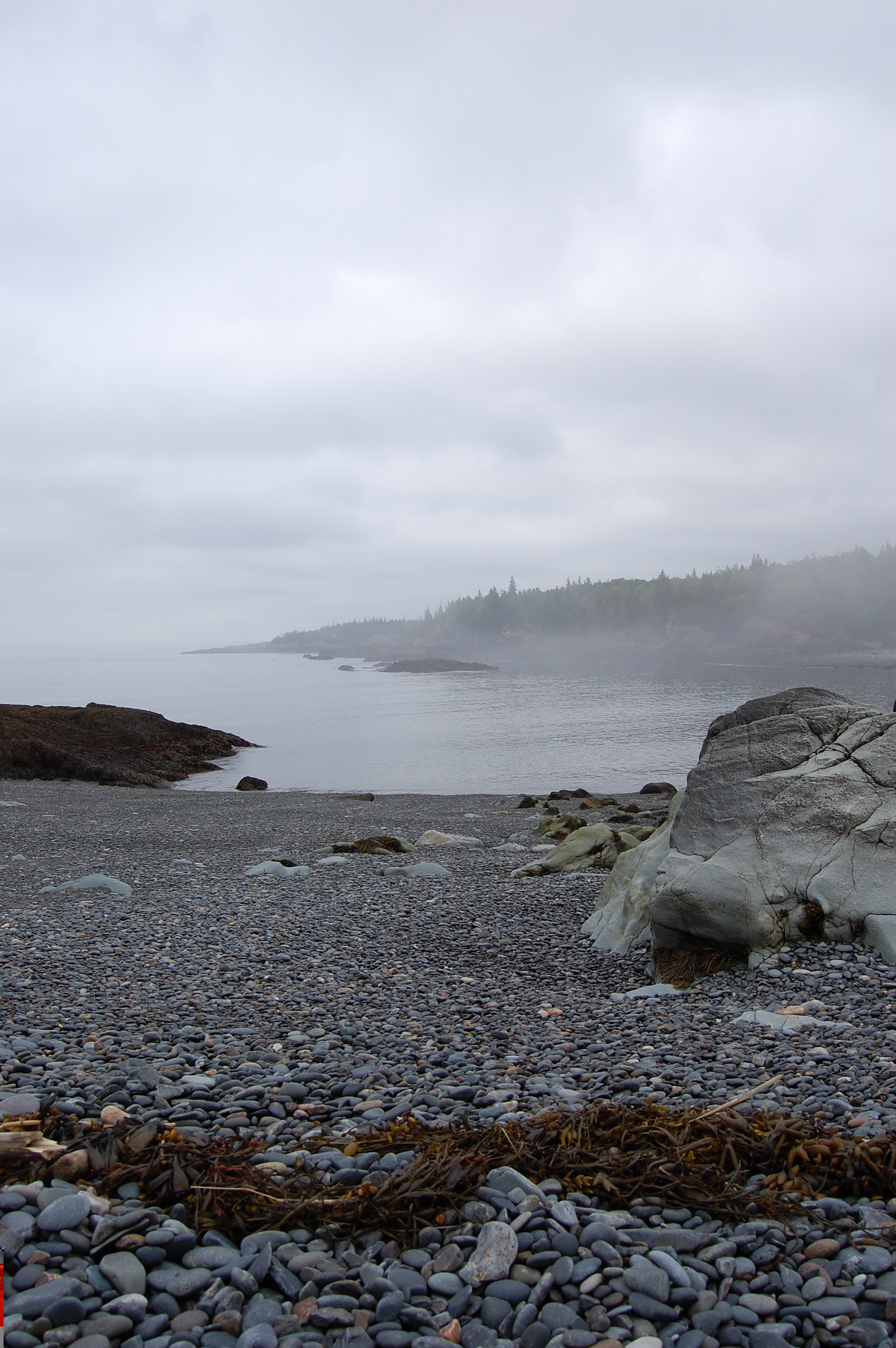
The Fog Retreats
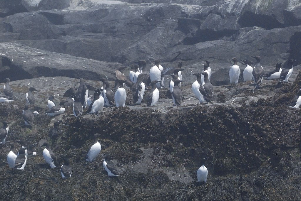
Common Murre and Razorbill3 M.S.I. ME 6:27:11
Topographic Map of Cutler, ME, USA
Find elevation by address:

Places in Cutler, ME, USA:
Places near Cutler, ME, USA:
ME-, Cutler, ME, USA
99 Little Machias Rd
Cutler, ME, USA
ME-, Cutler, ME, USA
Cutler Rd, Whiting, ME, USA
Whiting
831 Cutler Rd
Johnson Lane
832 Cutler Rd
11 Smalls Point Rd
Indian Head Road
Rural Rte 1, East Machias, ME, USA
85 East Side Rd
47 Clarks Point Rd
908 Port Rd
Machiasport
Old County Road
East Machias
Scotts Hill Road
Holway Point Road
Recent Searches:
- Elevation of Corso Fratelli Cairoli, 35, Macerata MC, Italy
- Elevation of Tallevast Rd, Sarasota, FL, USA
- Elevation of 4th St E, Sonoma, CA, USA
- Elevation of Black Hollow Rd, Pennsdale, PA, USA
- Elevation of Oakland Ave, Williamsport, PA, USA
- Elevation of Pedrógão Grande, Portugal
- Elevation of Klee Dr, Martinsburg, WV, USA
- Elevation of Via Roma, Pieranica CR, Italy
- Elevation of Tavkvetili Mountain, Georgia
- Elevation of Hartfords Bluff Cir, Mt Pleasant, SC, USA