Elevation of 99 Little Machias Rd, Cutler, ME, USA
Location: United States > Maine > Washington County > Cutler >
Longitude: -67.241586
Latitude: 44.6570936
Elevation: 29m / 95feet
Barometric Pressure: 101KPa
Elevation Map:
Satellite Map:
Related Photos:

Happy Christmas.
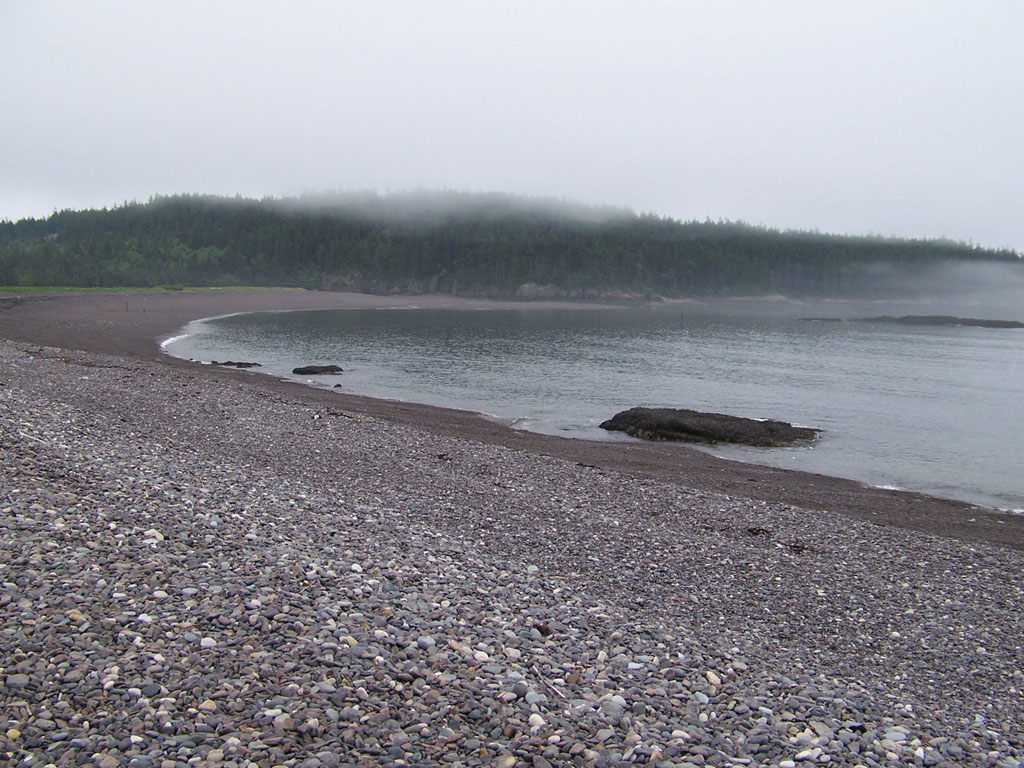
Jasper Beach

Blueberry field in Washington County, Maine, USA

Milky Way Over Little Deer Isle, Maine

DSC_3672.jpg

Cutler Coast 7849

Cutler Coast 7854-55

Little River Light near Cutler ME 653A7040

Bold Coast

mary@bogbrookcove-11-2-13-cb

Cutler Harbor

Machias River

Light house

Bold Coast Scene

Little River Lighthouse, Cutler Maine

Fairy Head Campsite and Cove

Long Pond Cove

Fall in Maine

Cows along Kennybeck

Bold Coast hike in Cutler, ME

Fairy Head

Otter Point, Acadia National Park
Topographic Map of 99 Little Machias Rd, Cutler, ME, USA
Find elevation by address:

Places near 99 Little Machias Rd, Cutler, ME, USA:
ME-, Cutler, ME, USA
ME-, Cutler, ME, USA
Cutler, ME, USA
Cutler
Cutler Rd, Whiting, ME, USA
831 Cutler Rd
Johnson Lane
832 Cutler Rd
11 Smalls Point Rd
Indian Head Road
Whiting
85 East Side Rd
47 Clarks Point Rd
908 Port Rd
Rural Rte 1, East Machias, ME, USA
Machiasport
Old County Road
East Machias
Scotts Hill Road
Holway Point Road
Recent Searches:
- Elevation of Corso Fratelli Cairoli, 35, Macerata MC, Italy
- Elevation of Tallevast Rd, Sarasota, FL, USA
- Elevation of 4th St E, Sonoma, CA, USA
- Elevation of Black Hollow Rd, Pennsdale, PA, USA
- Elevation of Oakland Ave, Williamsport, PA, USA
- Elevation of Pedrógão Grande, Portugal
- Elevation of Klee Dr, Martinsburg, WV, USA
- Elevation of Via Roma, Pieranica CR, Italy
- Elevation of Tavkvetili Mountain, Georgia
- Elevation of Hartfords Bluff Cir, Mt Pleasant, SC, USA