Elevation of Lubec, ME, USA
Location: United States > Maine > Washington County >
Longitude: -66.983590
Latitude: 44.8585863
Elevation: 6m / 20feet
Barometric Pressure: 101KPa
Elevation Map:
Satellite Map:
Related Photos:
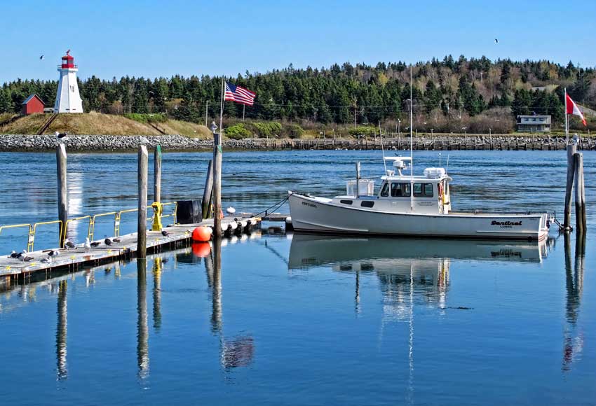
View of Mulholland Point Lighthouse from Lubec, Maine.

Hubbard Cottage view

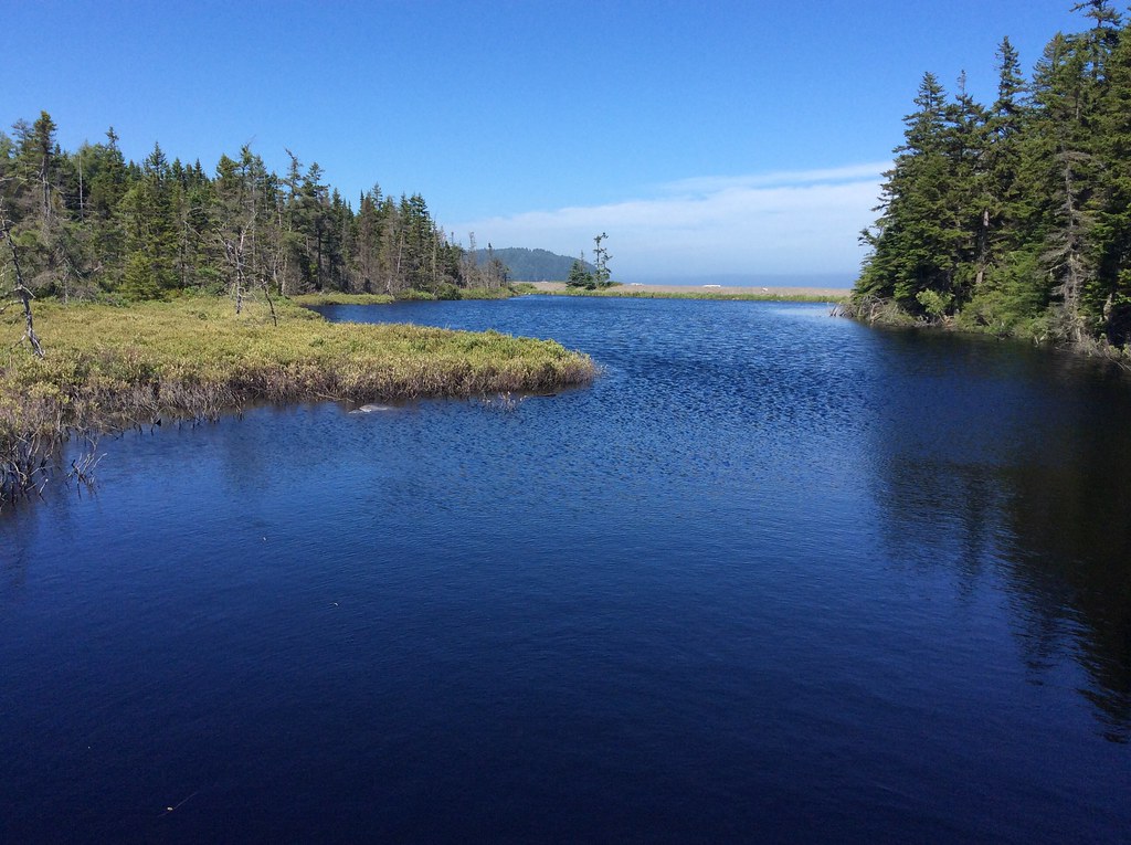
Colors in Nature - Blue ~ part 2

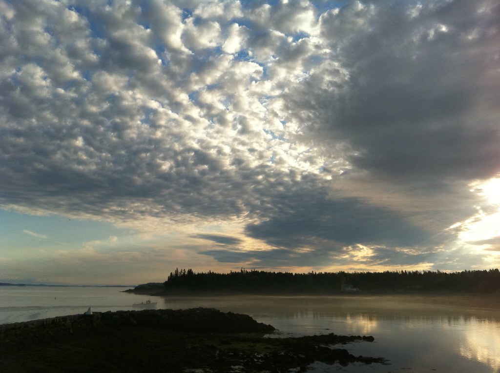
Sunrise - Lubec 7-28-12 (65)
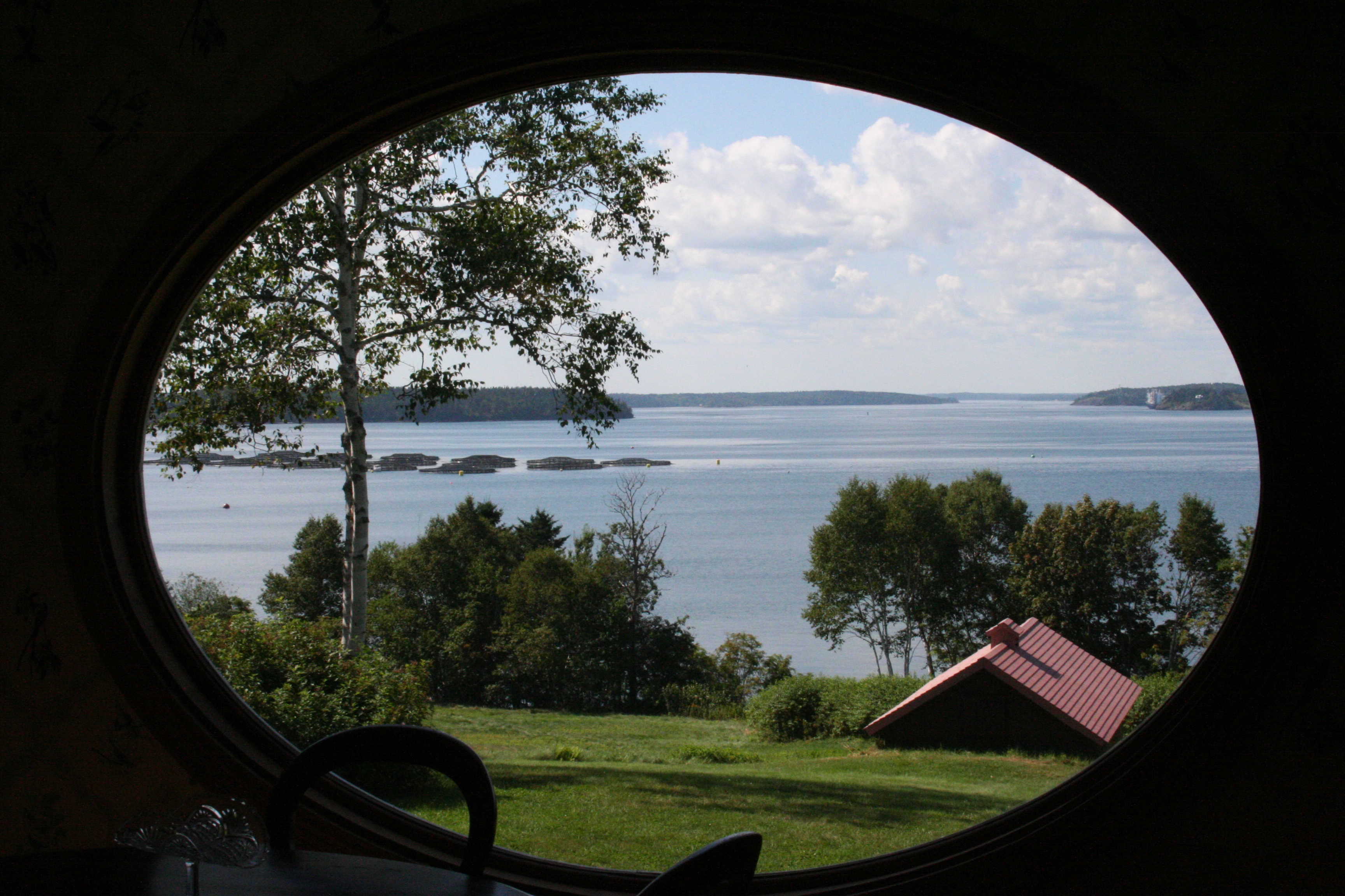
A Room with a View
Lubec 7-27-12 (144)-2

Lubec Harbor Fireworks

Friar's Bay sunset - Campobello

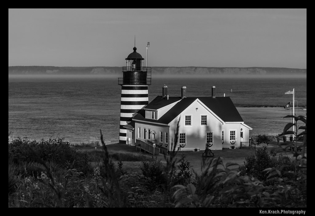
West Quody Head Lighthouse
View from West Quoddy State Park
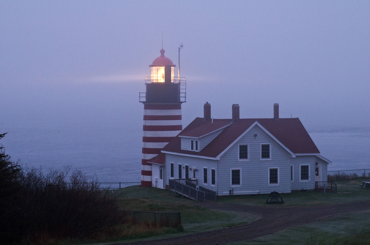
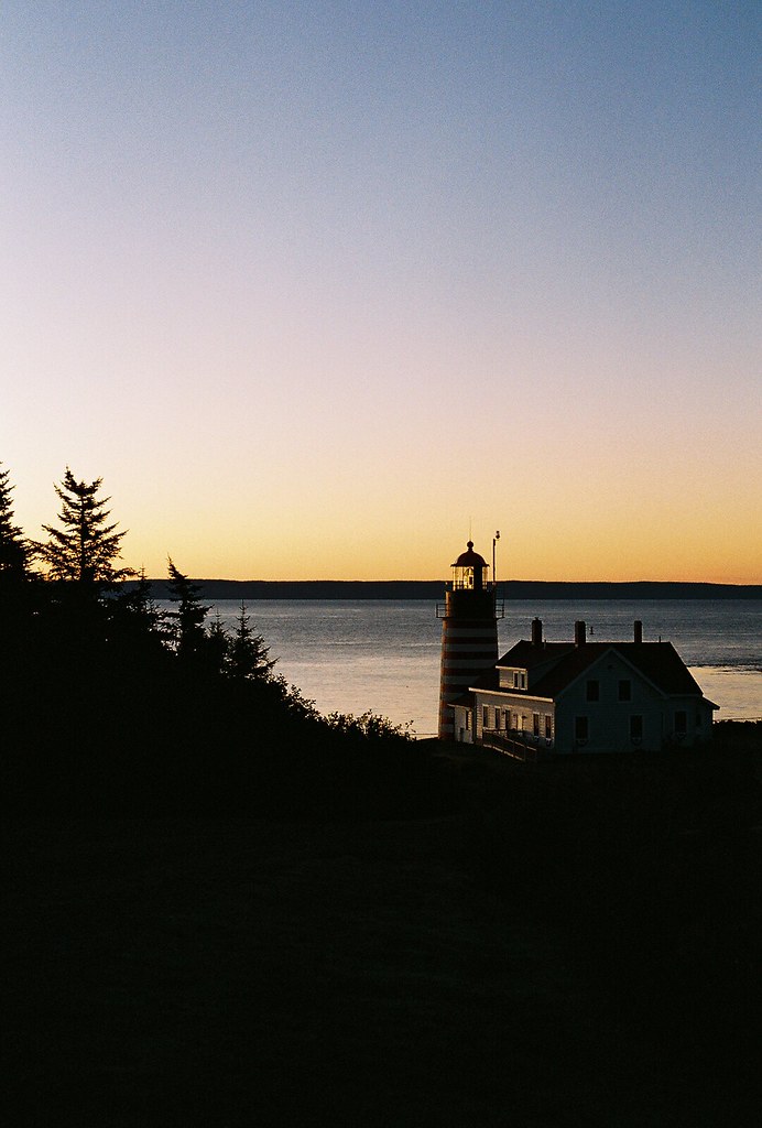
West Quoddy Head Light
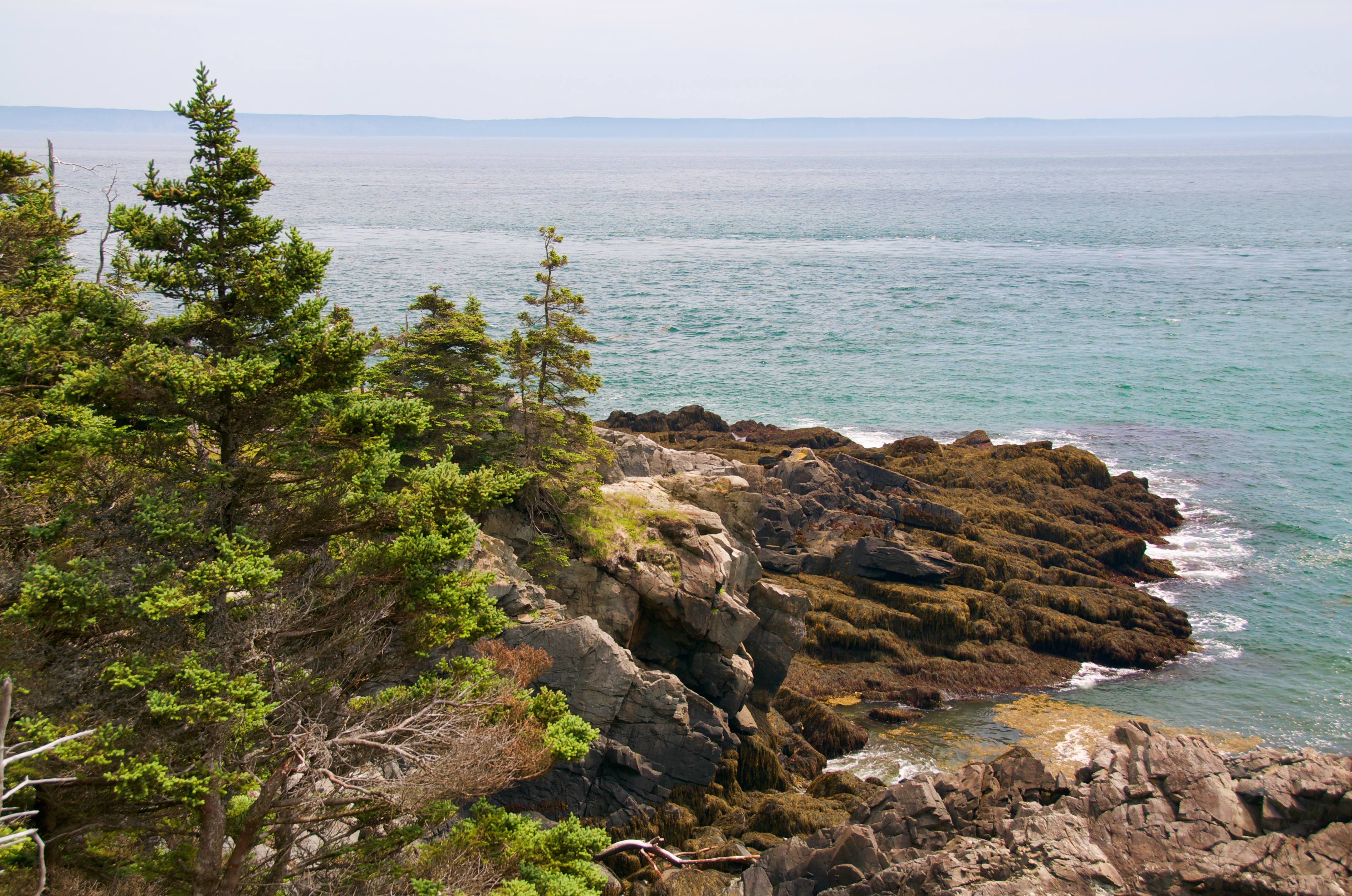
View from West Quoddy State Park
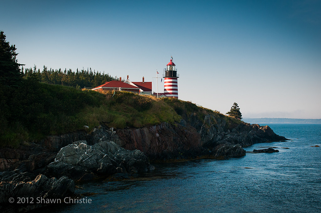
West Quoddy Head Light

Night View

View from West Quoddy State Park

View from Friar's Head, Campobello Island
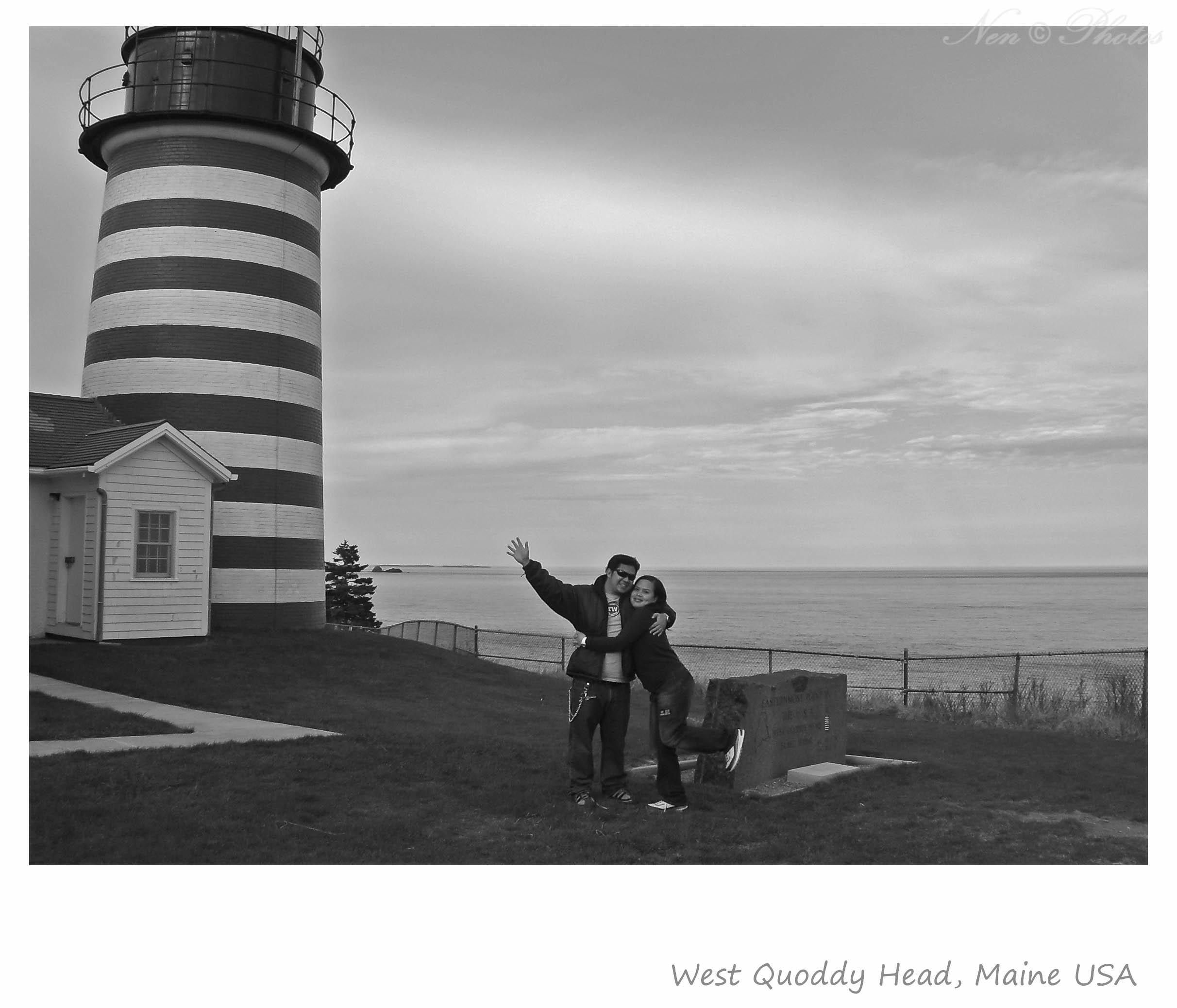
Easternmost point in the USA
View of Eastport Maine across Johnson Bay from Friar's Head on Campobello Island

Reversing Falls Park
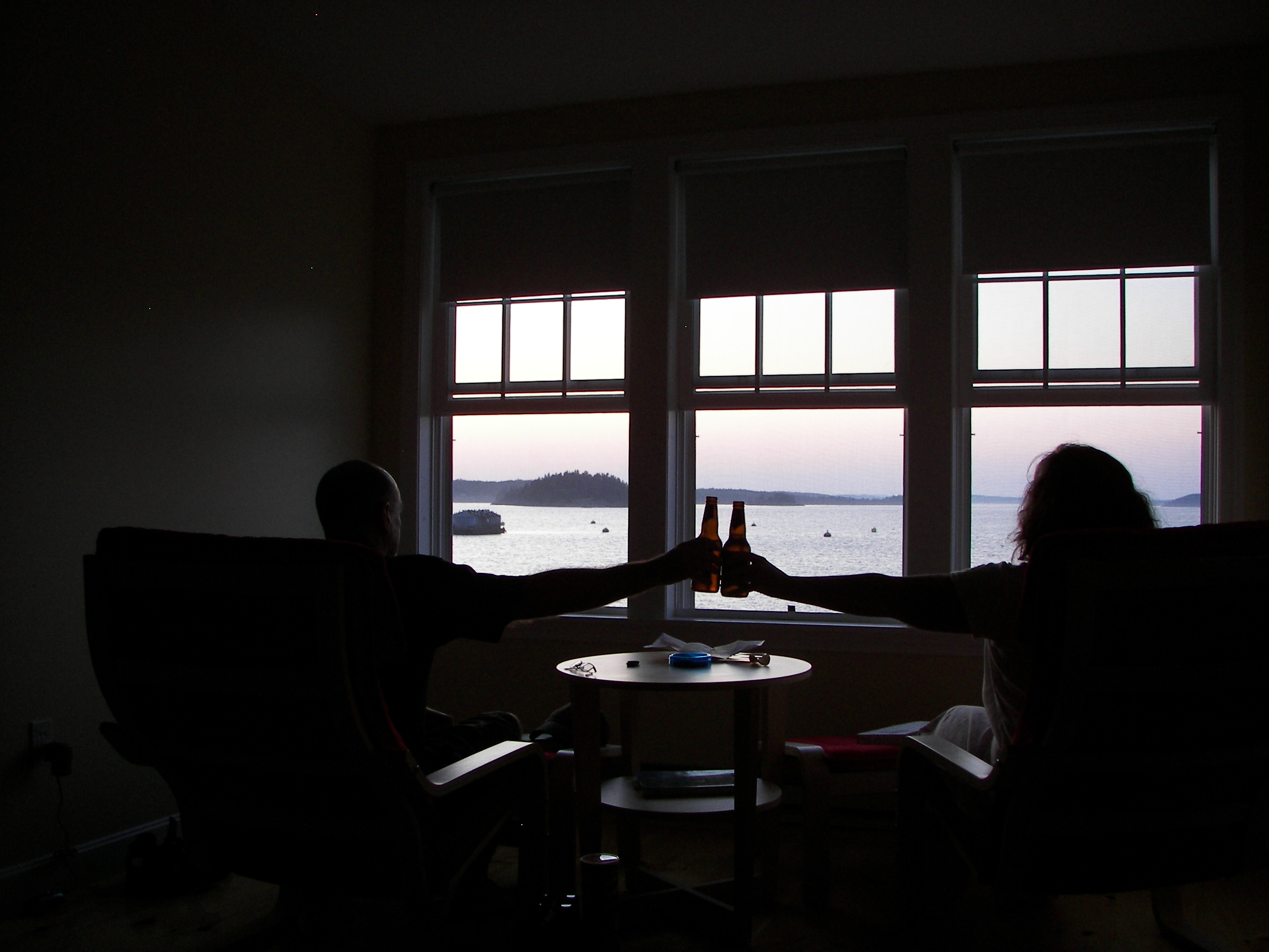
HAVING A BEER
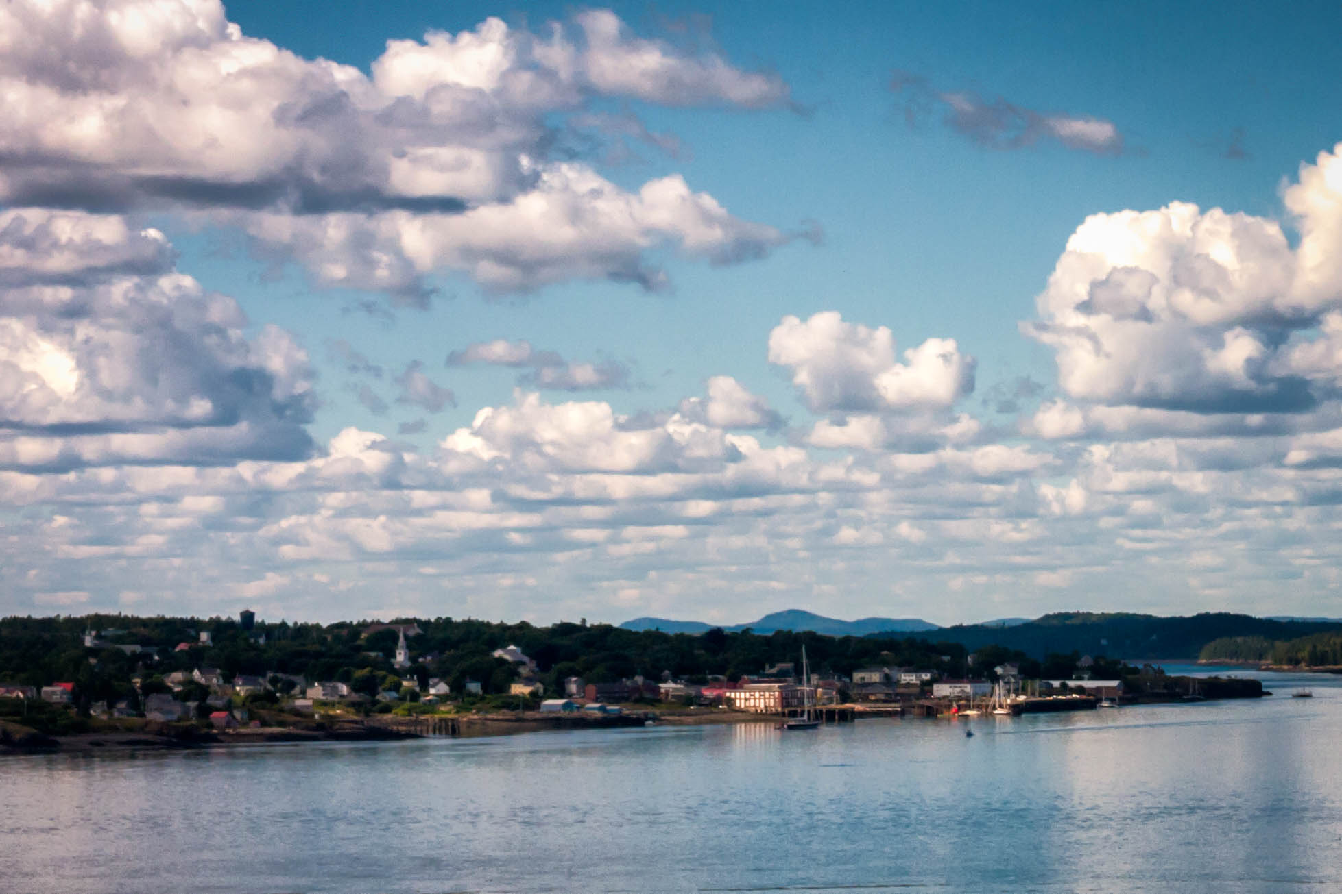
edge of town
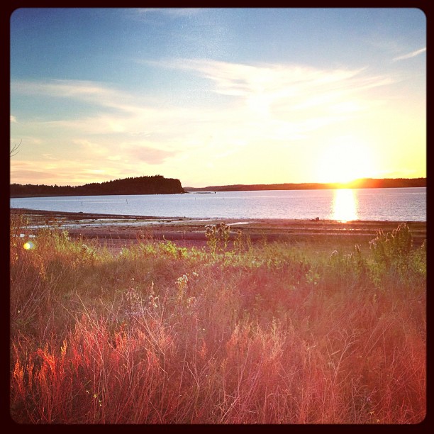
Lubec Sunset

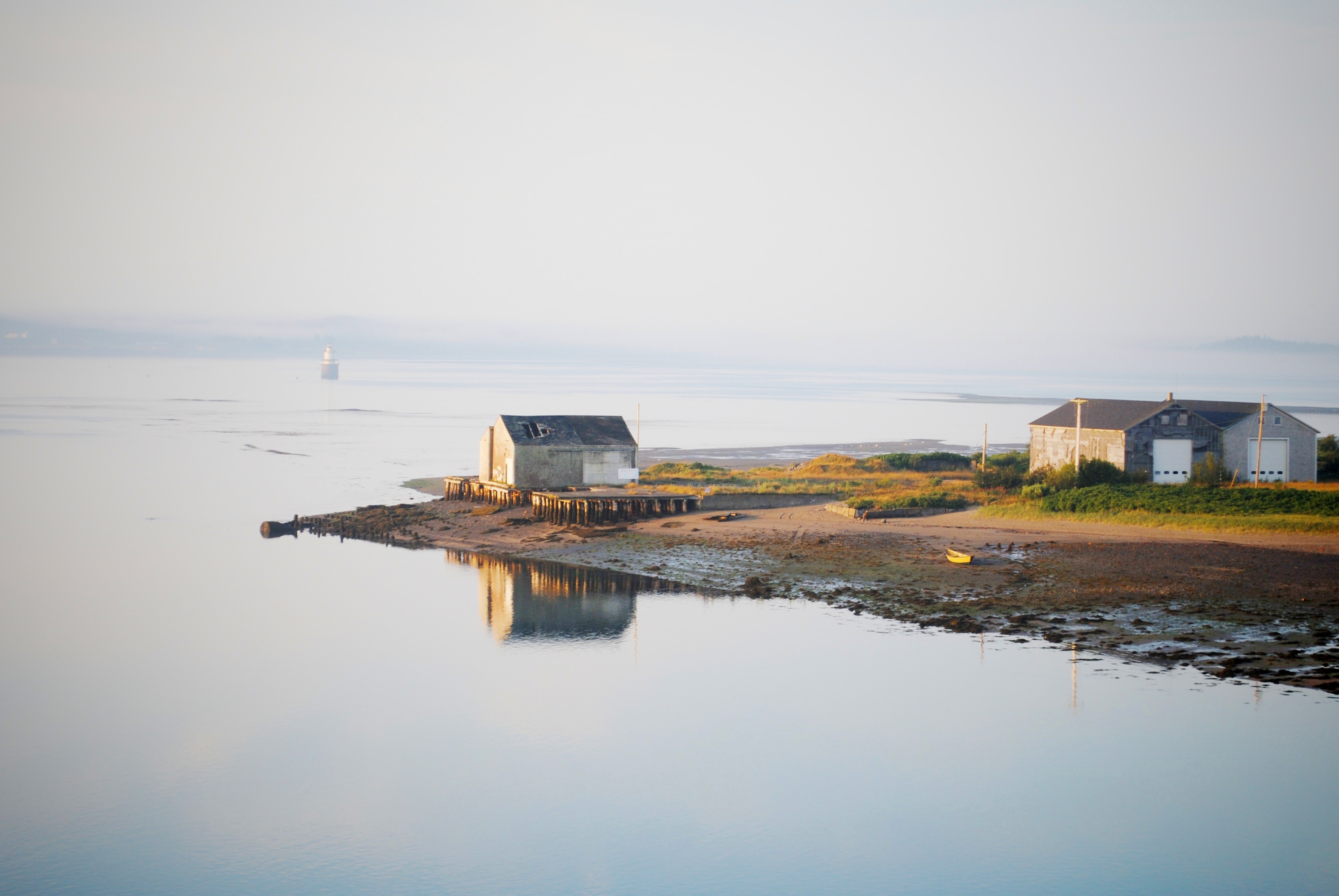
The Historic Waterfront area of Lubec, Maine
Campobello Island

Lighthouse Morning

Over Johnson Bay in Lubec, Maine, USA

West Quoddy Head Light
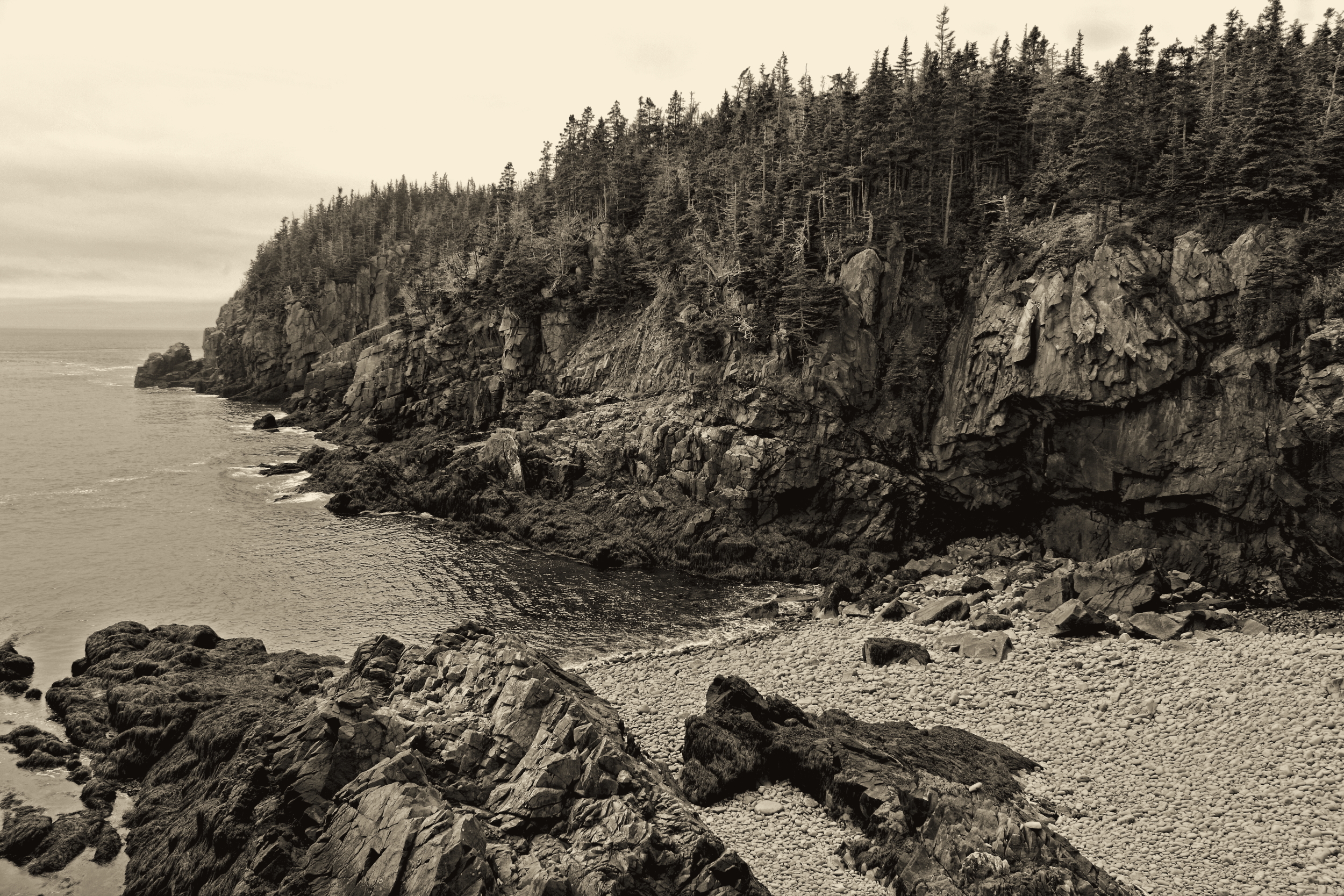
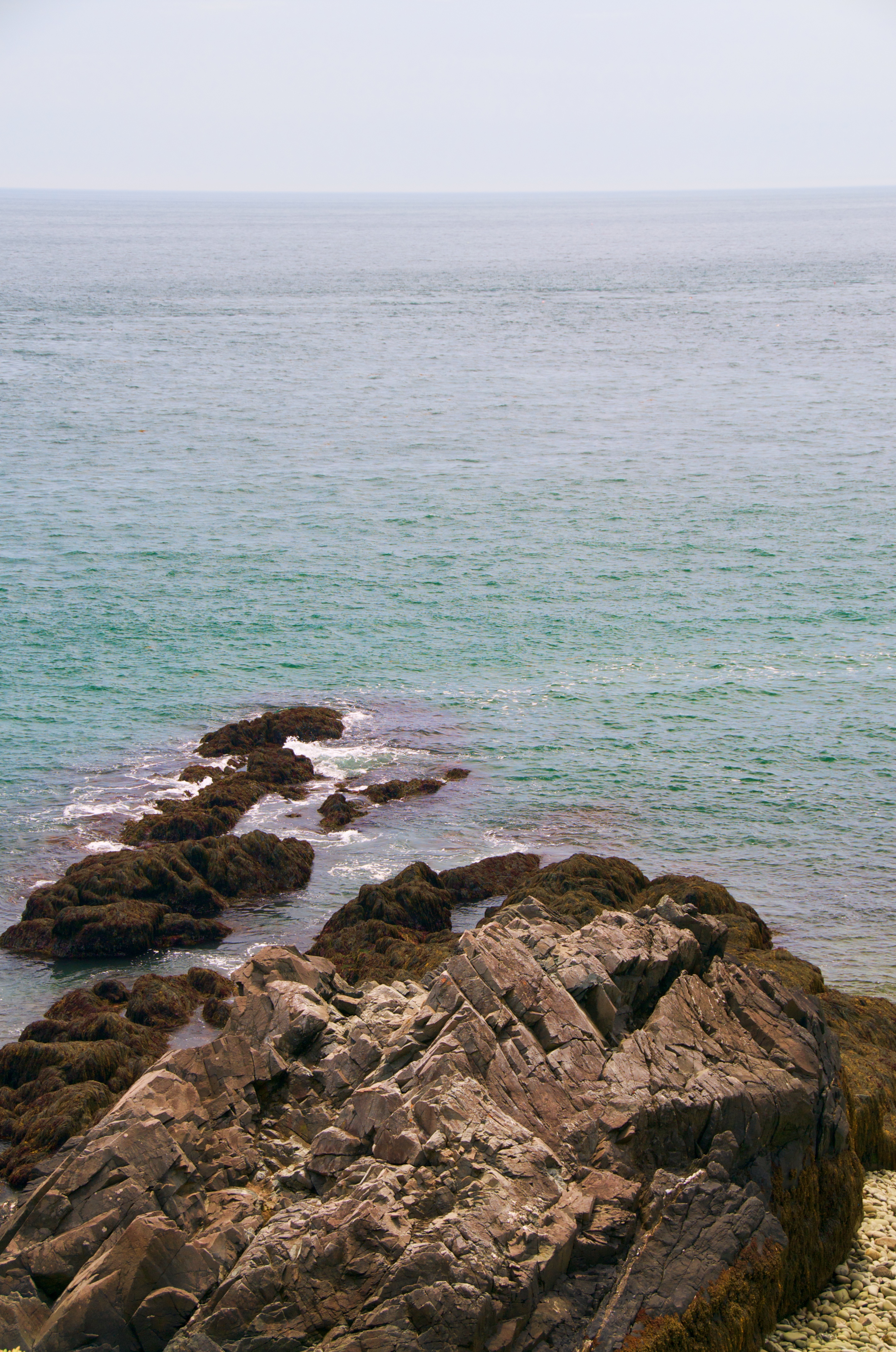
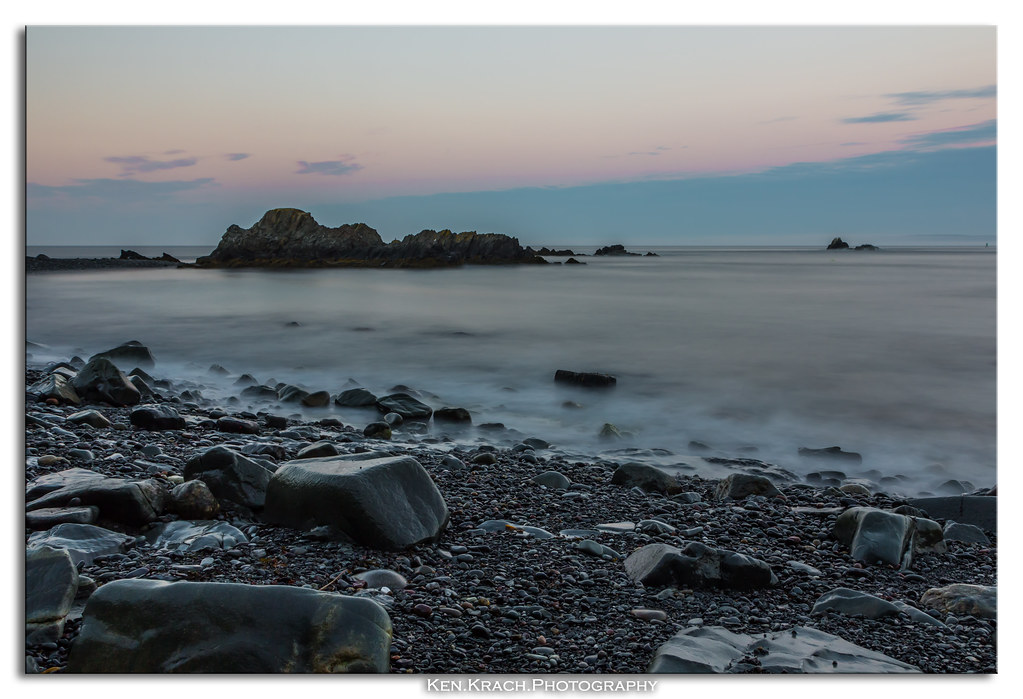
Who Needs Sand, We Got Rocks
7-2 sunrise
Sunset over Friars Bay
West Quoddy Headlight
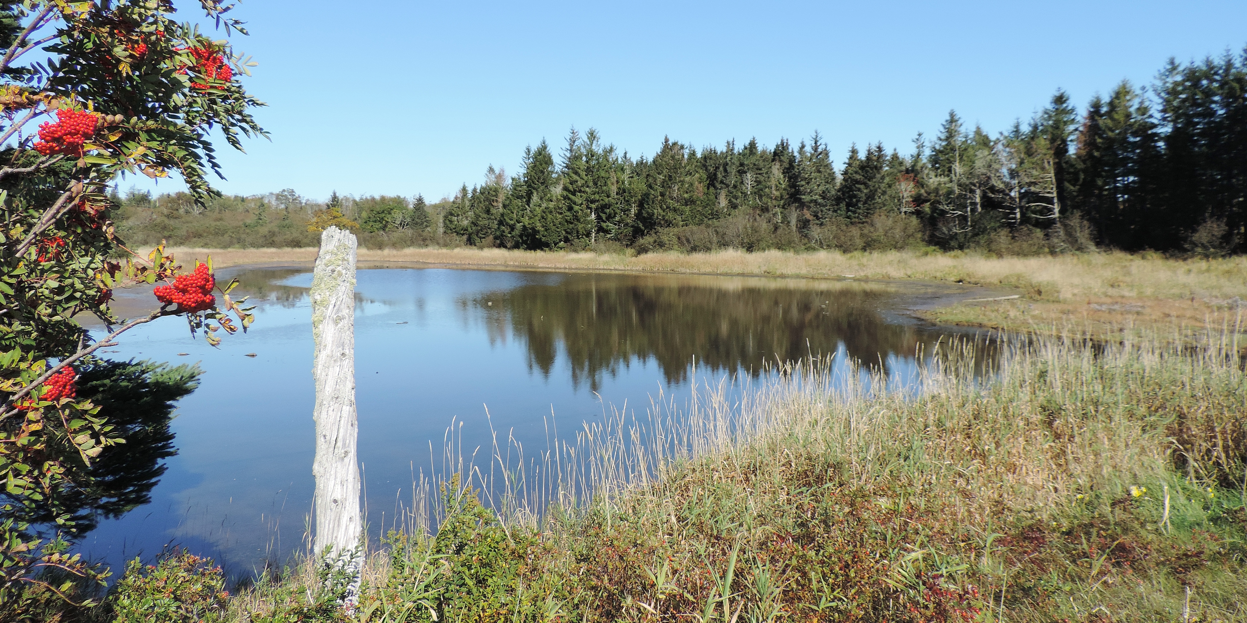
Pike's Puddle--On the left is Sorbus americana , American Mountianash
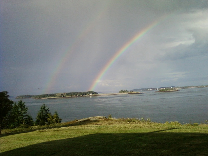
Rainbow over Indian Island.
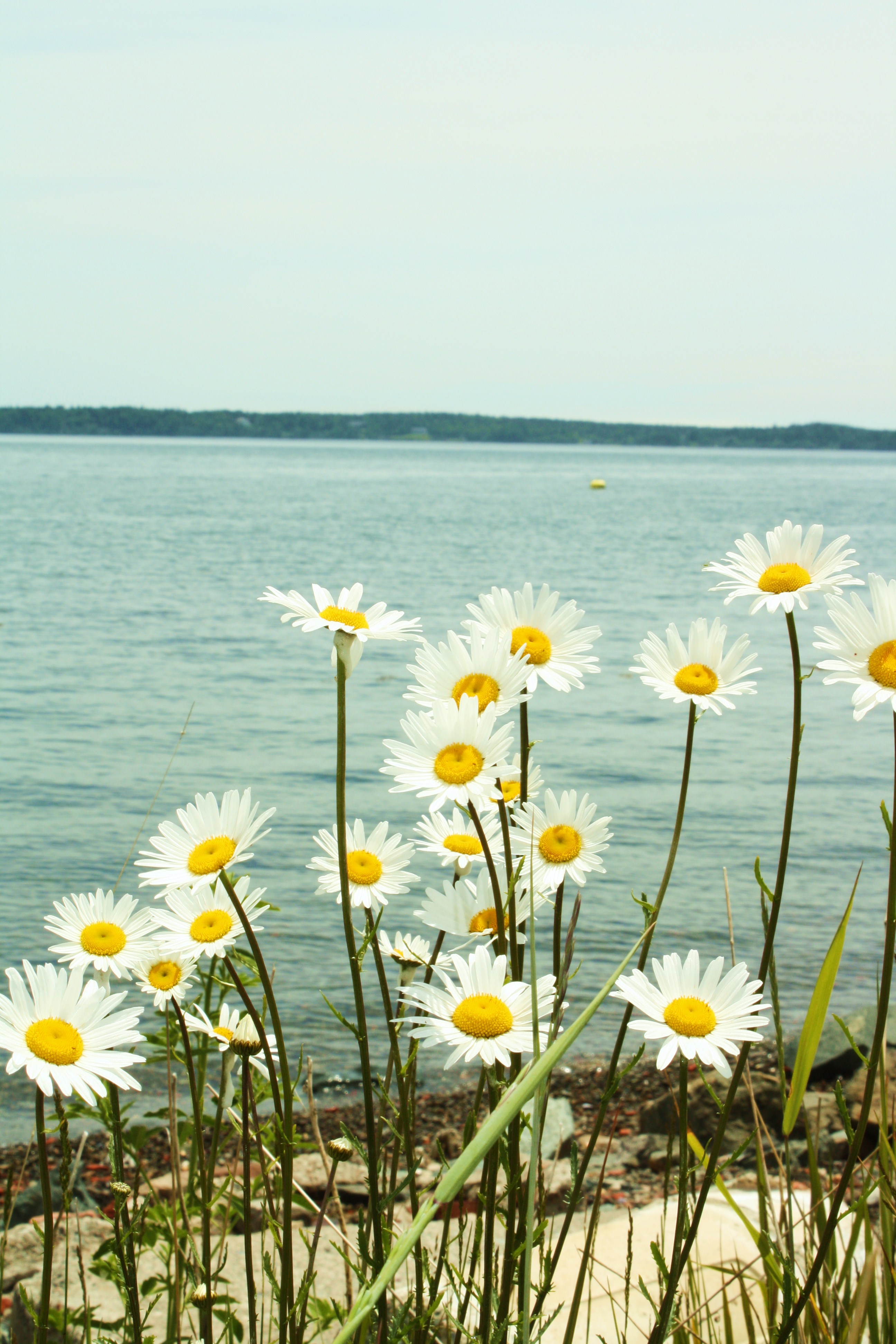
Daisies on the Shore
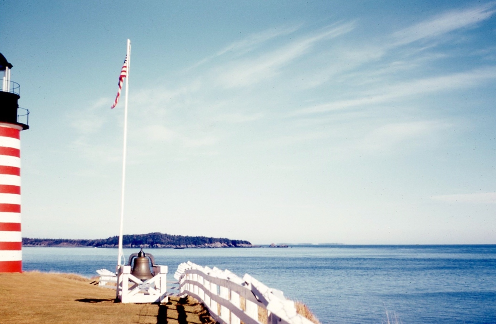
West Quoddy lighthouse in the 50's with the white wood fence on Kodachrome

Lubec Sunrise

YAY!!!
MVC-263F

Tree Forms
Topographic Map of Lubec, ME, USA
Find elevation by address:

Places in Lubec, ME, USA:
County Rd, Lubec, ME, USA
31 Retreat Ln, Lubec, ME, USA
Jim's Head Road
Boot Cove Road
Wallace Cove
North Lubec Road
Places near Lubec, ME, USA:
4 Green St
9 Bayview St
2 Hobson St
20 Easy St
31 Retreat Ln, Lubec, ME, USA
238 S Lubec Rd
285 N Lubec Rd
367 S Lubec Rd
23 Water St
10 Shackford St
6 Key St
Hayes Avenue
23 Boynton St
County Rd, Lubec, ME, USA
47 Boynton St
47 Boynton St
Eastport
18 Mitchell St
North Lubec Road
35 Capen Ave
Recent Searches:
- Elevation of Corso Fratelli Cairoli, 35, Macerata MC, Italy
- Elevation of Tallevast Rd, Sarasota, FL, USA
- Elevation of 4th St E, Sonoma, CA, USA
- Elevation of Black Hollow Rd, Pennsdale, PA, USA
- Elevation of Oakland Ave, Williamsport, PA, USA
- Elevation of Pedrógão Grande, Portugal
- Elevation of Klee Dr, Martinsburg, WV, USA
- Elevation of Via Roma, Pieranica CR, Italy
- Elevation of Tavkvetili Mountain, Georgia
- Elevation of Hartfords Bluff Cir, Mt Pleasant, SC, USA