Elevation map of North Dakota, USA
Location: United States >
Longitude: -101.00201
Latitude: 47.5514926
Elevation: 567m / 1860feet
Barometric Pressure: 95KPa
Elevation Map:
Satellite Map:
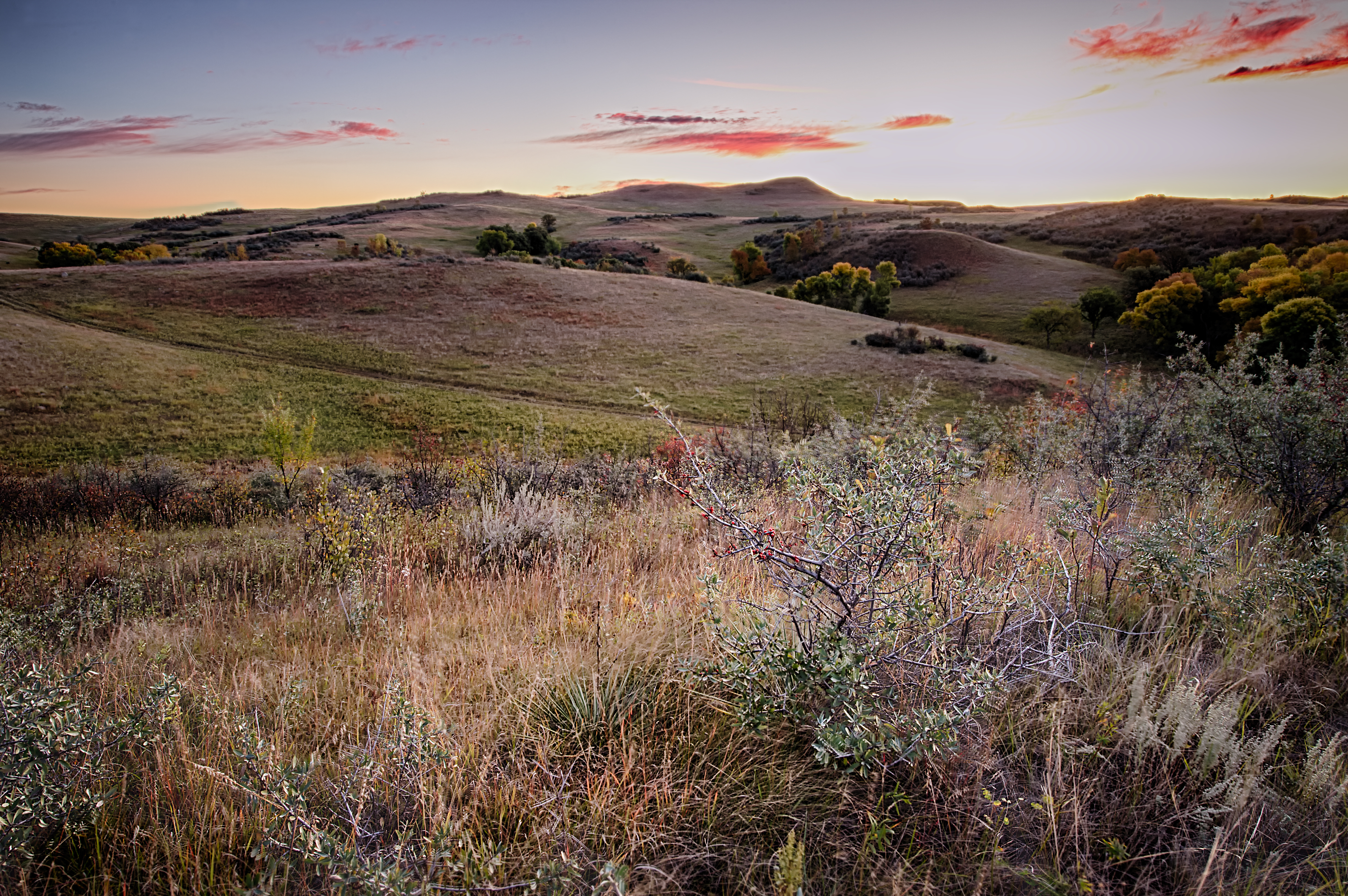
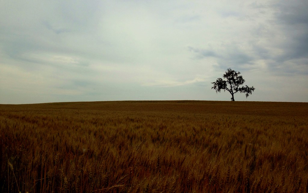
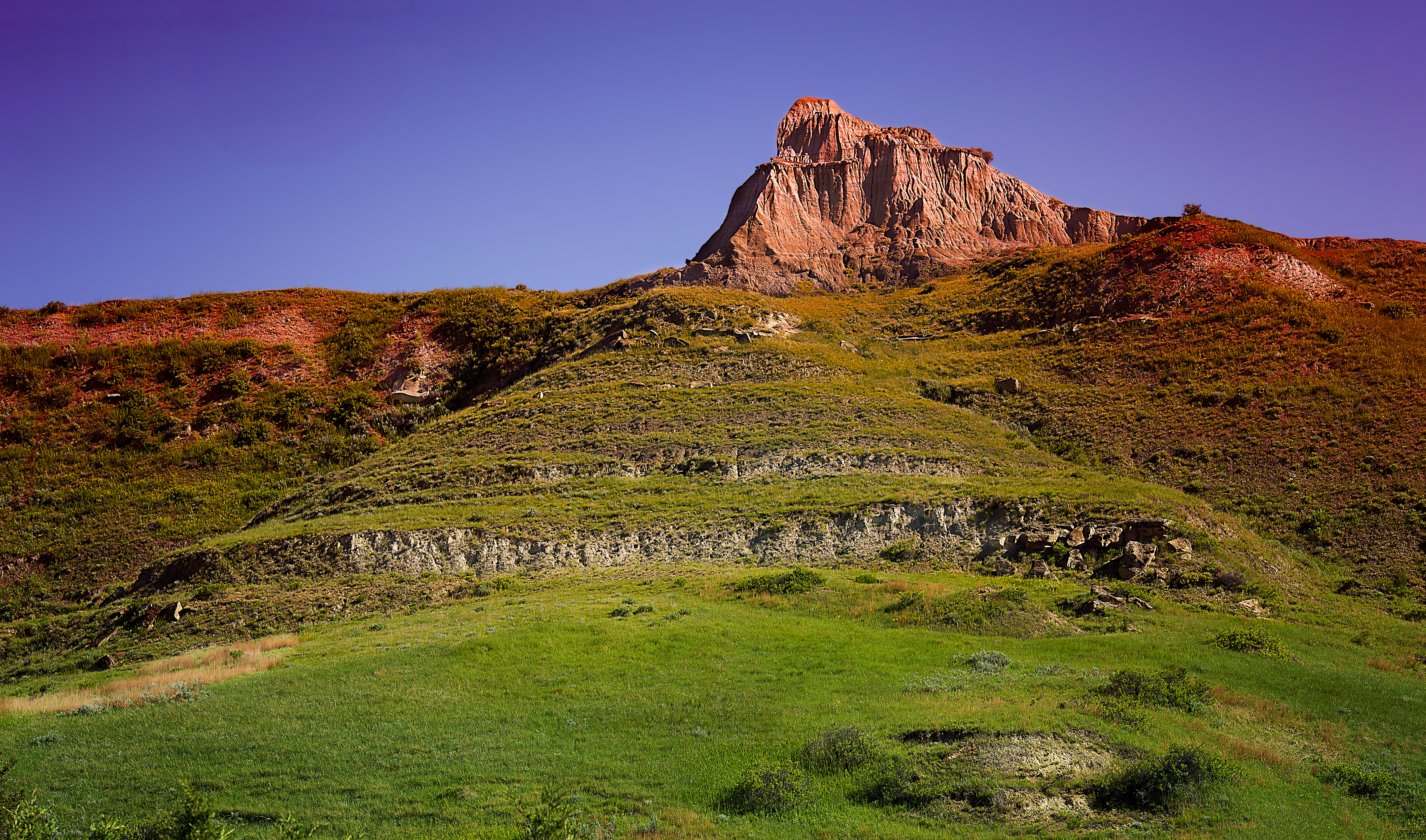
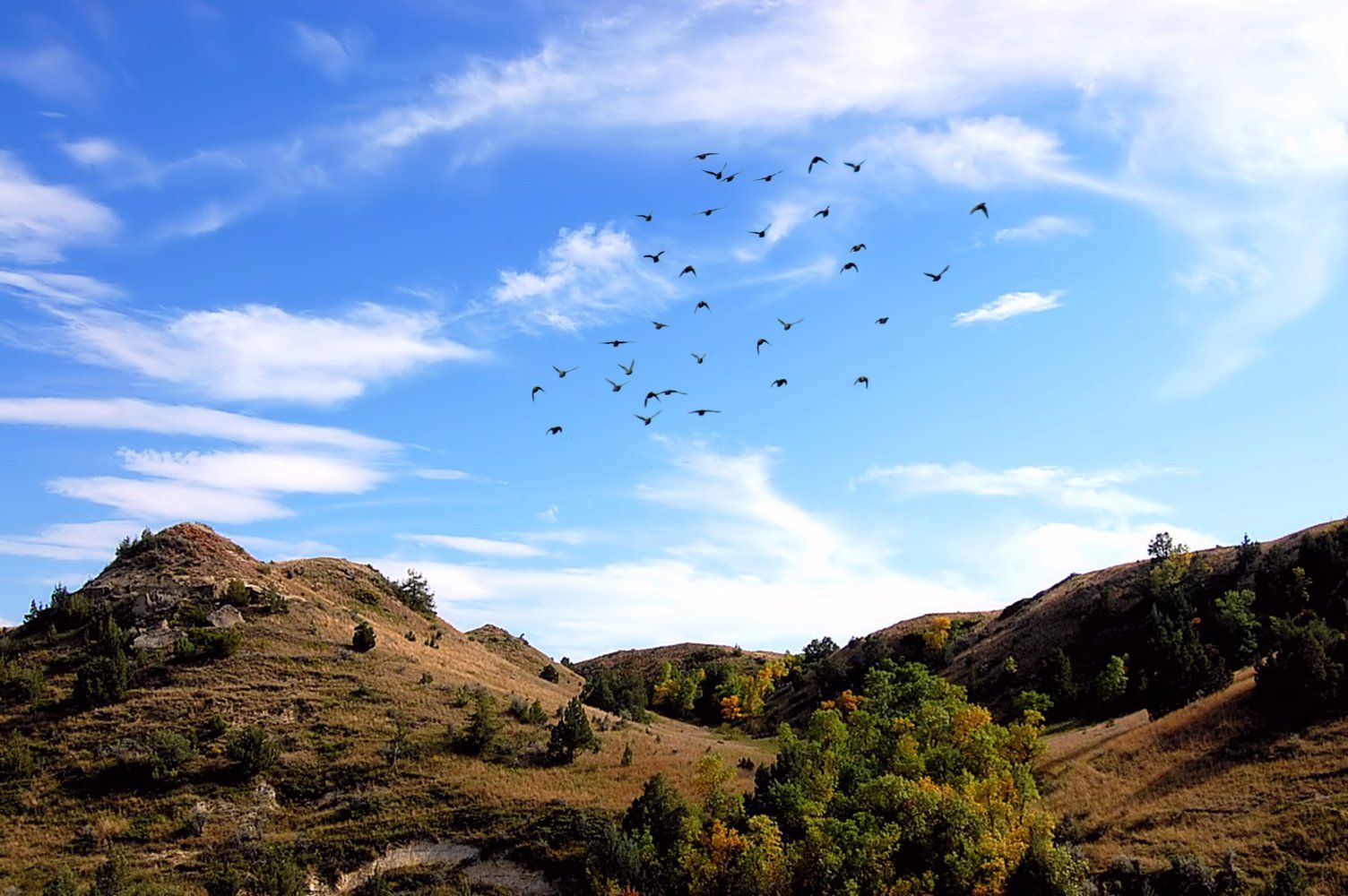
Related Photos:

Battered & Burned

Still Goin' Down

Falling down and falling apart

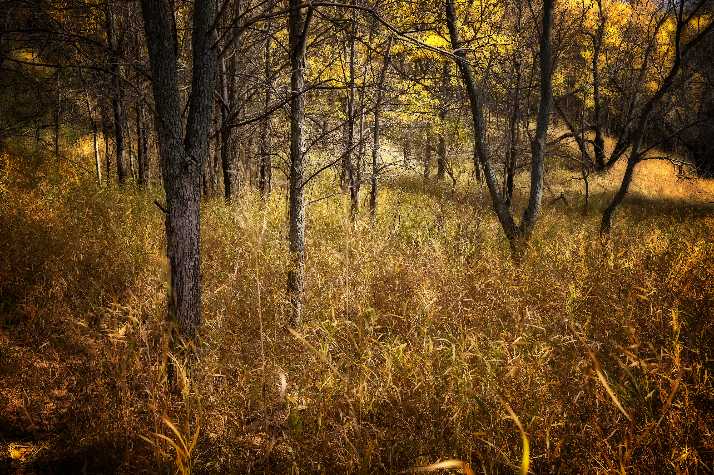
Late Autumn Colors

The Downward Spiral

All Aboard!

Blue & White, a prairie view

Milky Way and Cirrus Clouds

Relics of a bygone age

The House That Gustav Kjall Built (as seen from the southwest)

Getting on towards evening
morning becomes eclectic

Beginning to Buckle

Friends Revisited

Still, They Speak

Frozen Fall

Failing History
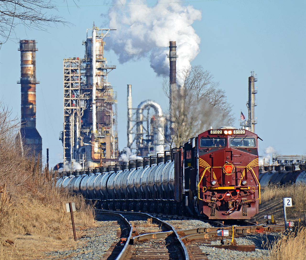
TELE VIEW 2.PRR ES44AC-8102 W/B Z7X empty oil train at Reybold, DE.

A Favorite Summer Sight
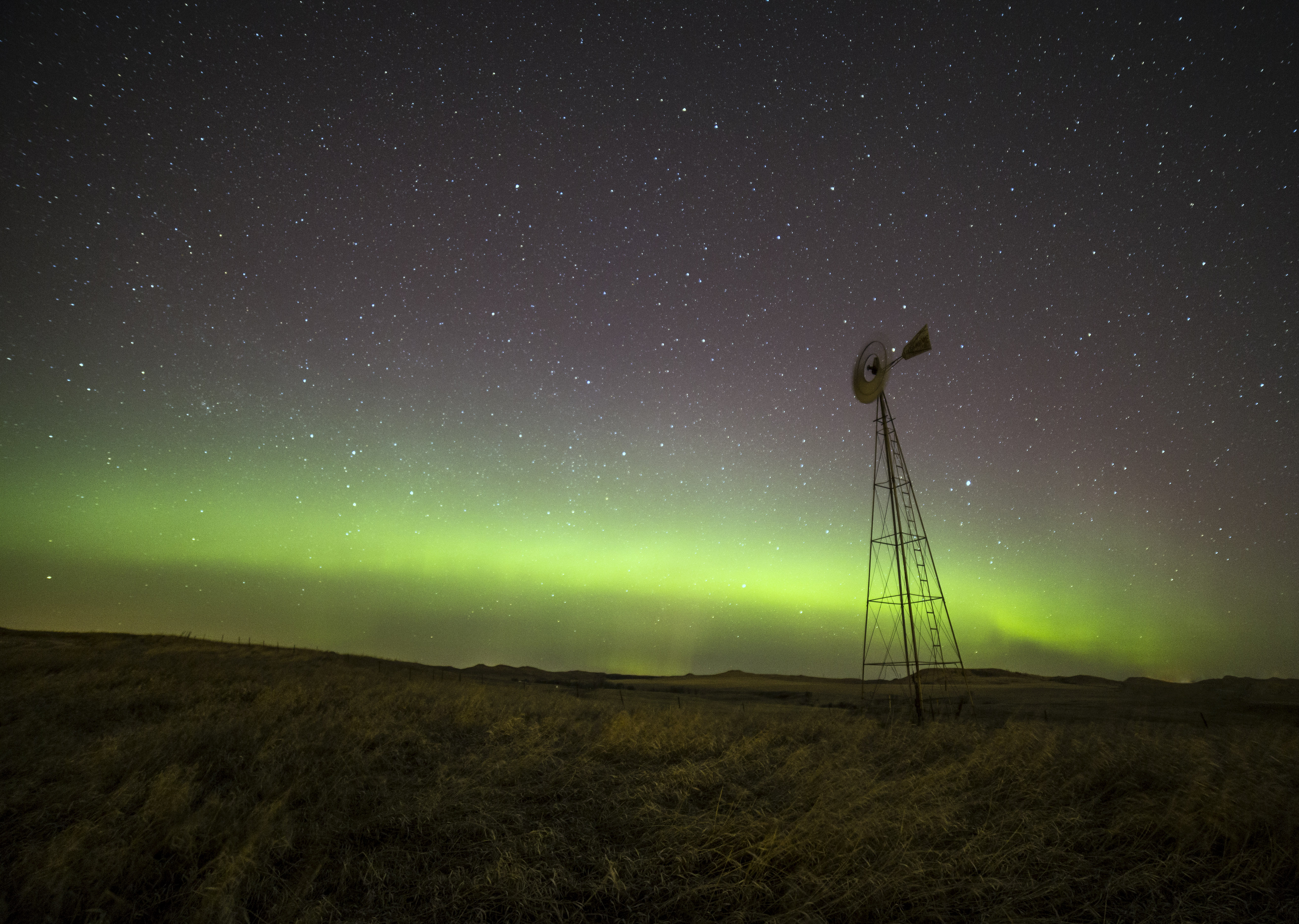
Aurora's Windmill

With a prairie view
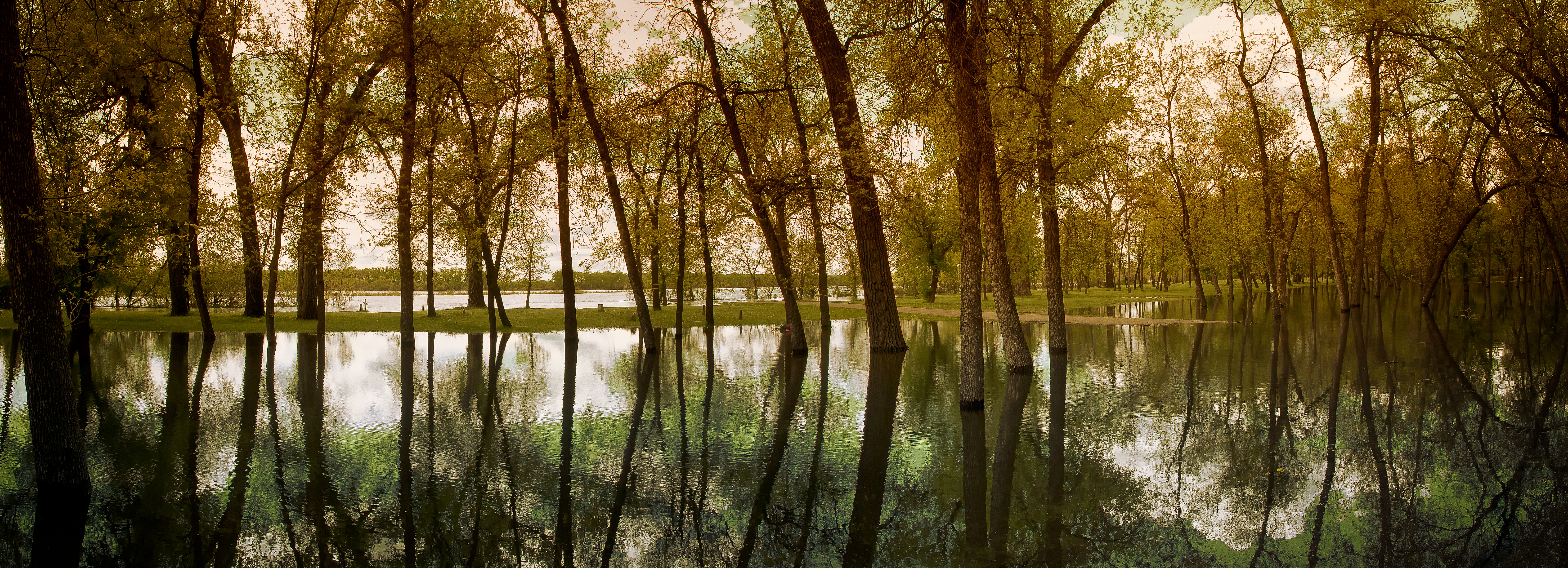
2011 Flood Pioneer Park Panorama Small

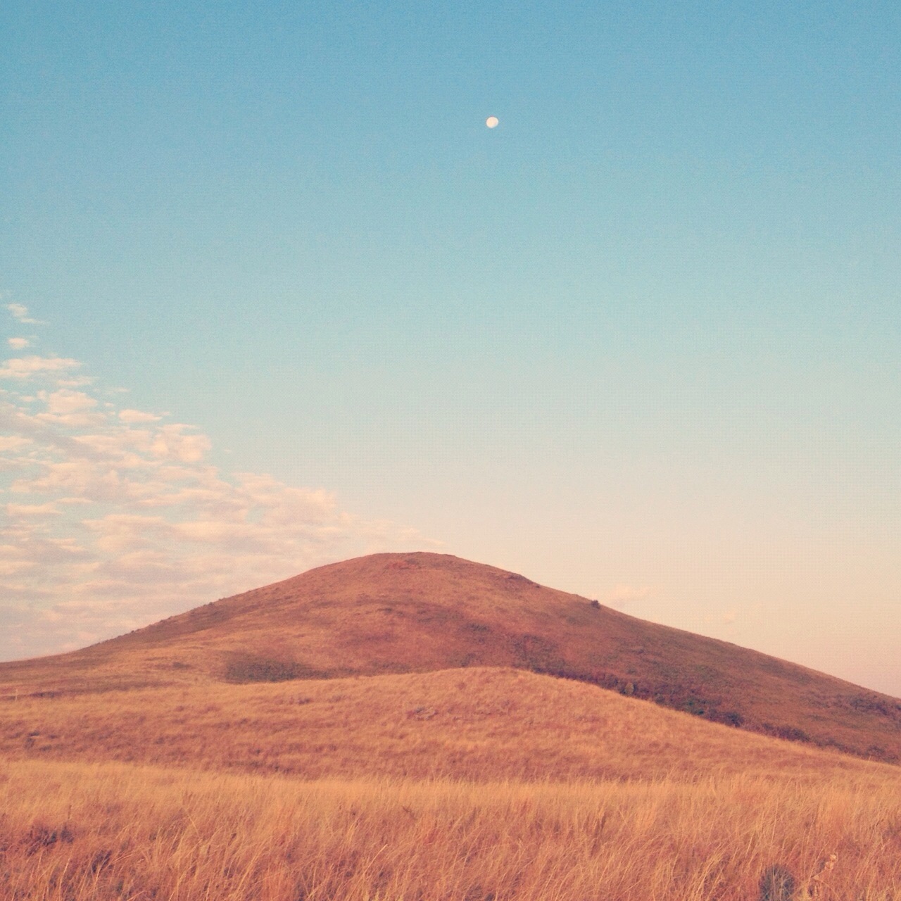
Prairie View

Golden Prairie
Fish Creek Dam 2
Well I'm in wifi land (Canada) took this on the way up today in North Dakota, US. We are in Dundurn, Saskatchewan, Canada tonight. Can anyone find that on the map? Bet Sam can :)
TRNP Pano

Prairie Fog at Sunrise

Prairie Home

Kids fishing pond

Hill Top Park

Misty Hillside Above the Cornfield

Last rays...
mountain sound
Fall Overtakes a Stand of Young Cottonwoods-F

Rocky Shore

By The River

Hill top park

Great Plains

Long Pond

The Great American Plains. Mandan, North Dakota.
Topographic Map of North Dakota, USA
Find elevation by address:

Places in North Dakota, USA:
Cass County
Burleigh County
Grand Forks County
Williams County
Richland County
Ramsey County
Walsh County
Mchenry County
Stutsman County
Traill County
Barnes County
Ward County
Cavalier County
Towner County
Billings County
Mclean County
Lamoure County
Bowman County
Mercer County
Pembina County
Emmons County
Adams County
Dickey County
Eddy County
Bottineau County
Rolette County
Mountrail County
Stark County
Burke County
Mcintosh County
Renville County
Linton
Golden Valley County
Sargent County
Kidder County
Morton County
Wells County
Hettinger County
Griggs County
Sheridan County
Lidgerwood
University Ave, Cogswell, ND, USA
Brennan Ave, Forest River, ND, USA
Parry Ave, Rhame, ND, USA
6 1st Ave W, Regent, ND, USA
4th St, Riverdale, ND, USA
Elm Ave, New Salem, ND, USA
15 Central Ave N, Dunn Center, ND, USA
Mill Rd, Fort Ransom, ND, USA
26 Ellsberry Ave, Rocklake, ND, USA
Park St, York, ND, USA
Dale Ave, Hoople, ND, USA
Alstad Ave, Pekin, ND, USA
Dunn County
Mckenzie County
Amidon
North Dakota 35
Divide County
Fort Rice
Pierce County
Ransom County
Foster County
Slope County
Grant County
Places near North Dakota, USA:
Turtle Lake
Mclean County
Washburn
Mclean Ave, Wilton, ND, USA
Wilton
3550 279th Ave Ne
Ecklund
Burnt Creek-riverview
6717 Kingswood Rd
Fort Rice, ND, USA
6864 Deerewood Ln
7315 Discovery Dr
Burleigh County
Mandan
Sheridan County
Bismarck, ND, USA
Hay Creek
3726 Powder Ridge Dr
3726 Powder Ridge Dr
936 Canada Ave
Recent Searches:
- Elevation of Corso Fratelli Cairoli, 35, Macerata MC, Italy
- Elevation of Tallevast Rd, Sarasota, FL, USA
- Elevation of 4th St E, Sonoma, CA, USA
- Elevation of Black Hollow Rd, Pennsdale, PA, USA
- Elevation of Oakland Ave, Williamsport, PA, USA
- Elevation of Pedrógão Grande, Portugal
- Elevation of Klee Dr, Martinsburg, WV, USA
- Elevation of Via Roma, Pieranica CR, Italy
- Elevation of Tavkvetili Mountain, Georgia
- Elevation of Hartfords Bluff Cir, Mt Pleasant, SC, USA