Elevation map of Morton County, ND, USA
Location: United States > North Dakota >
Longitude: -101.1621736
Latitude: 46.6683872
Elevation: 660m / 2165feet
Barometric Pressure: 0KPa
Related Photos:
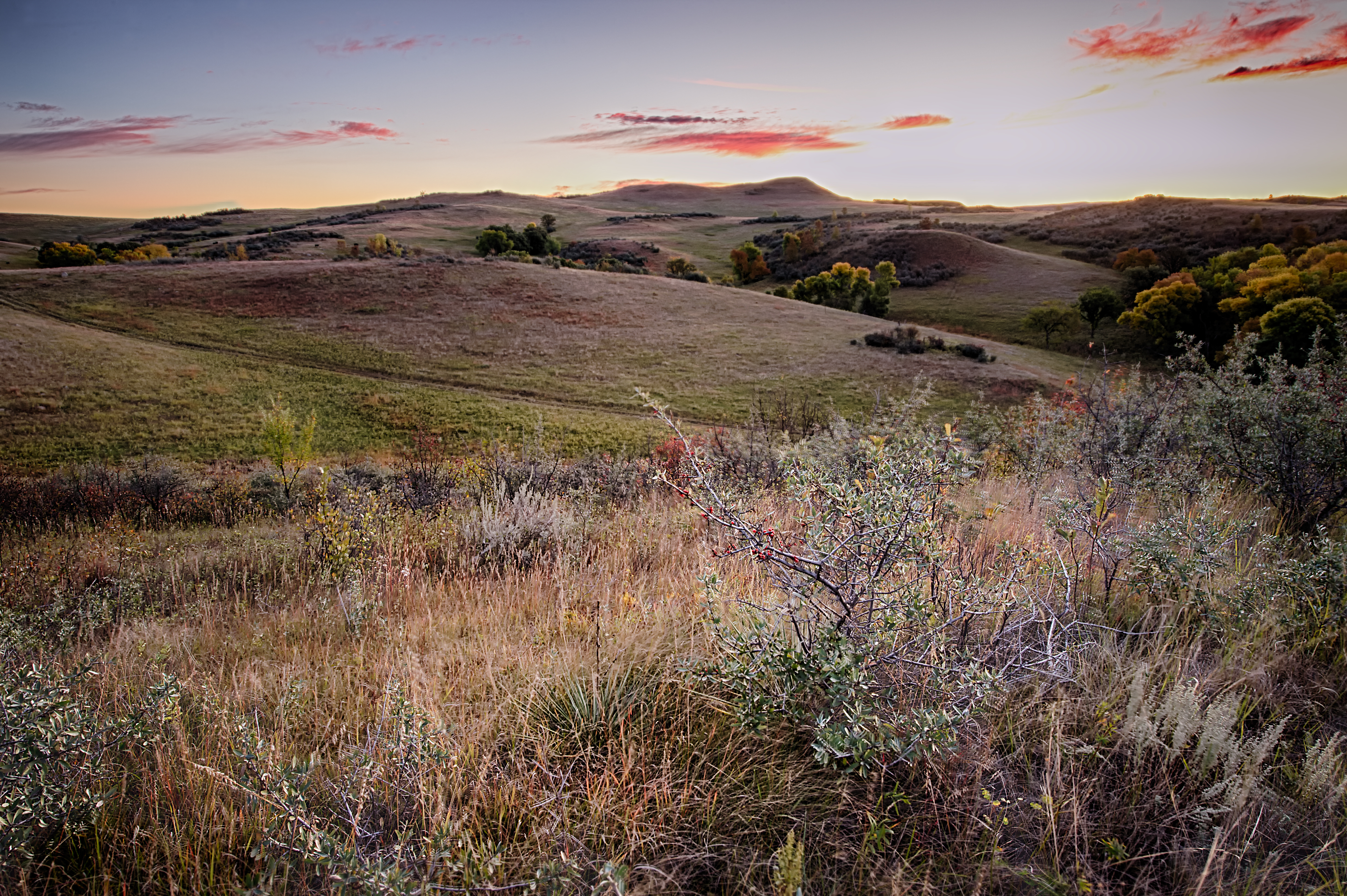
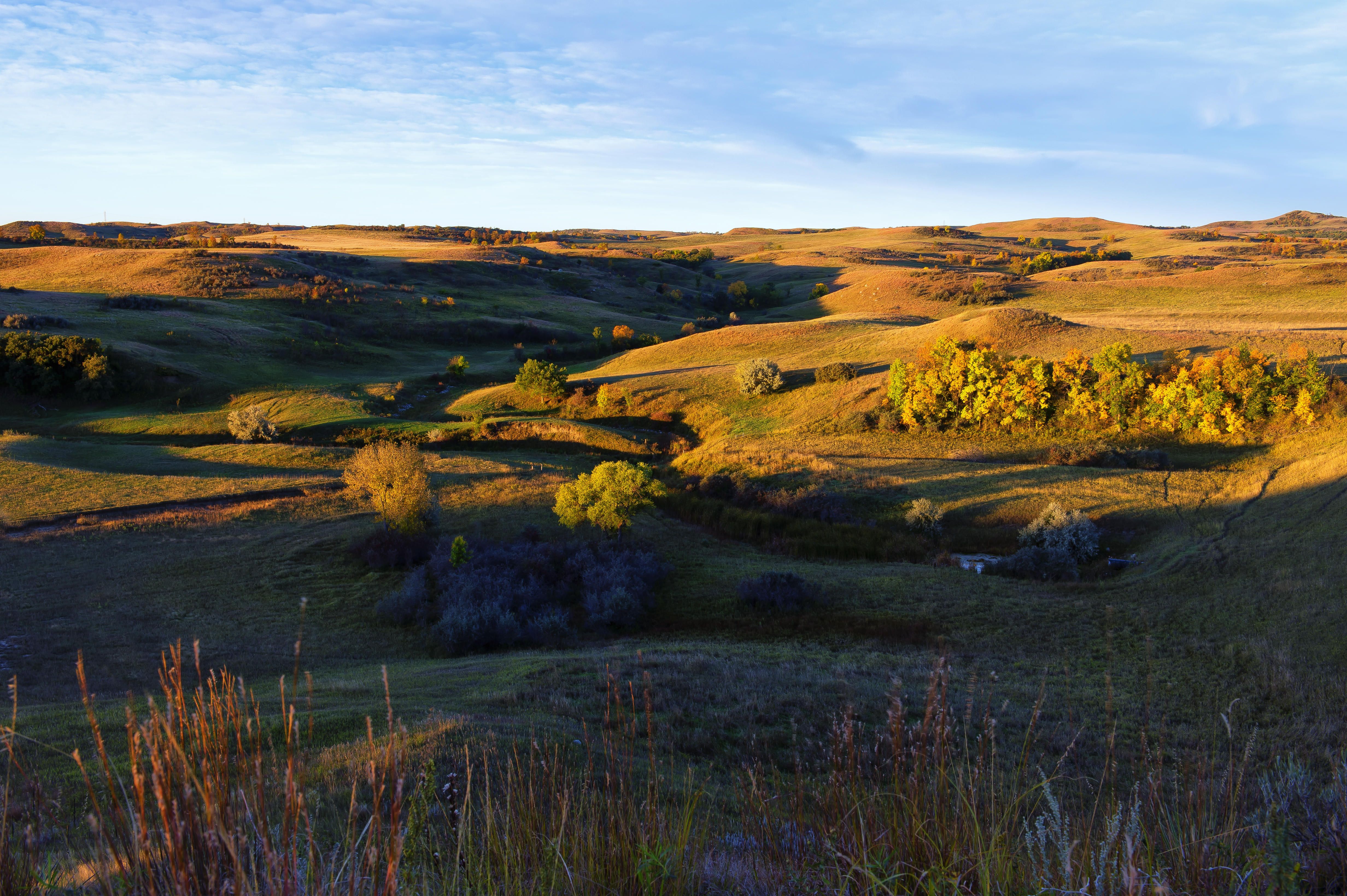
Fish Creek Dam 2
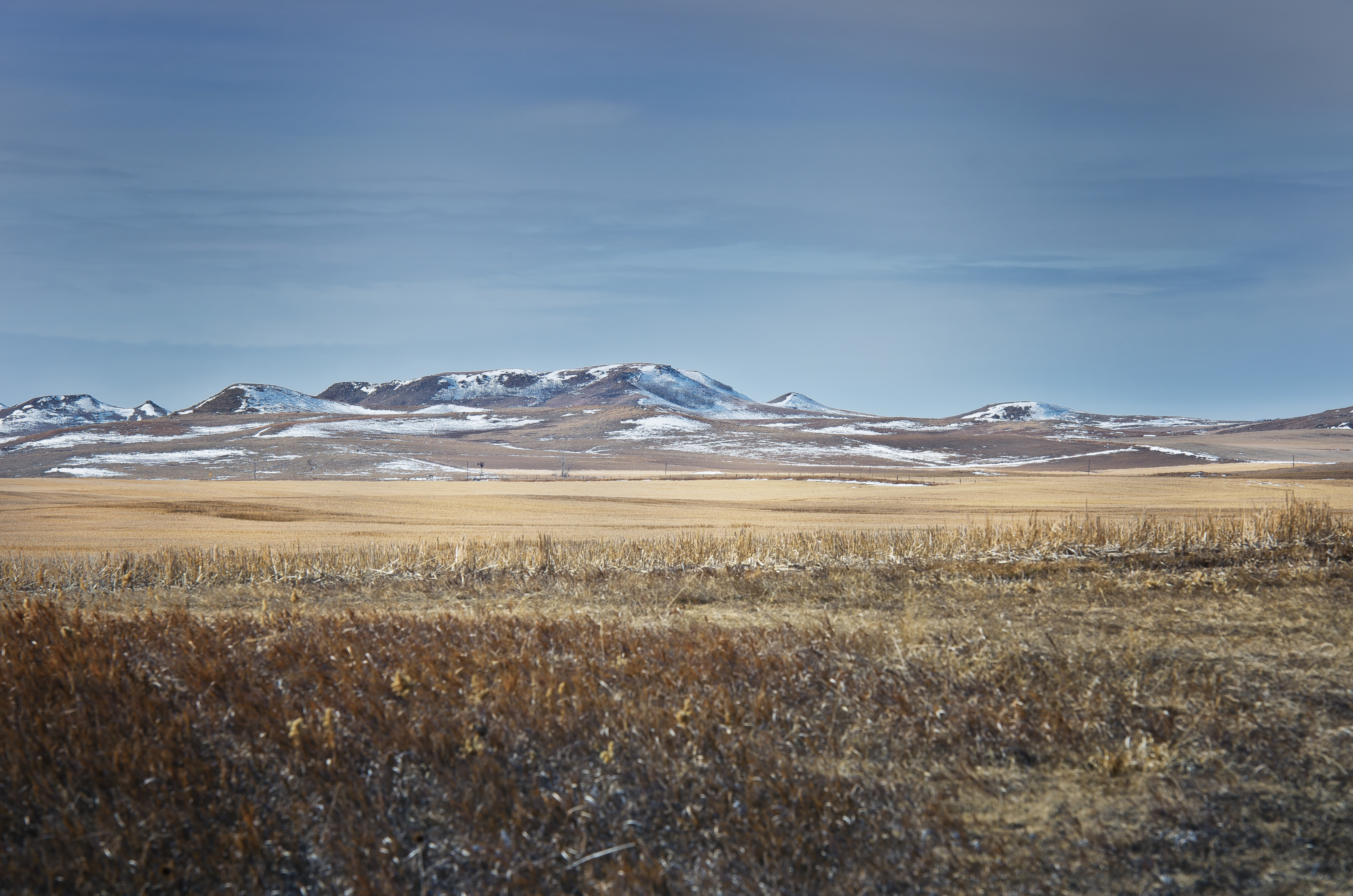
Morton County March21 A CE

Fish Creek Dam HDR

FCD 9 29 13 L2 Color
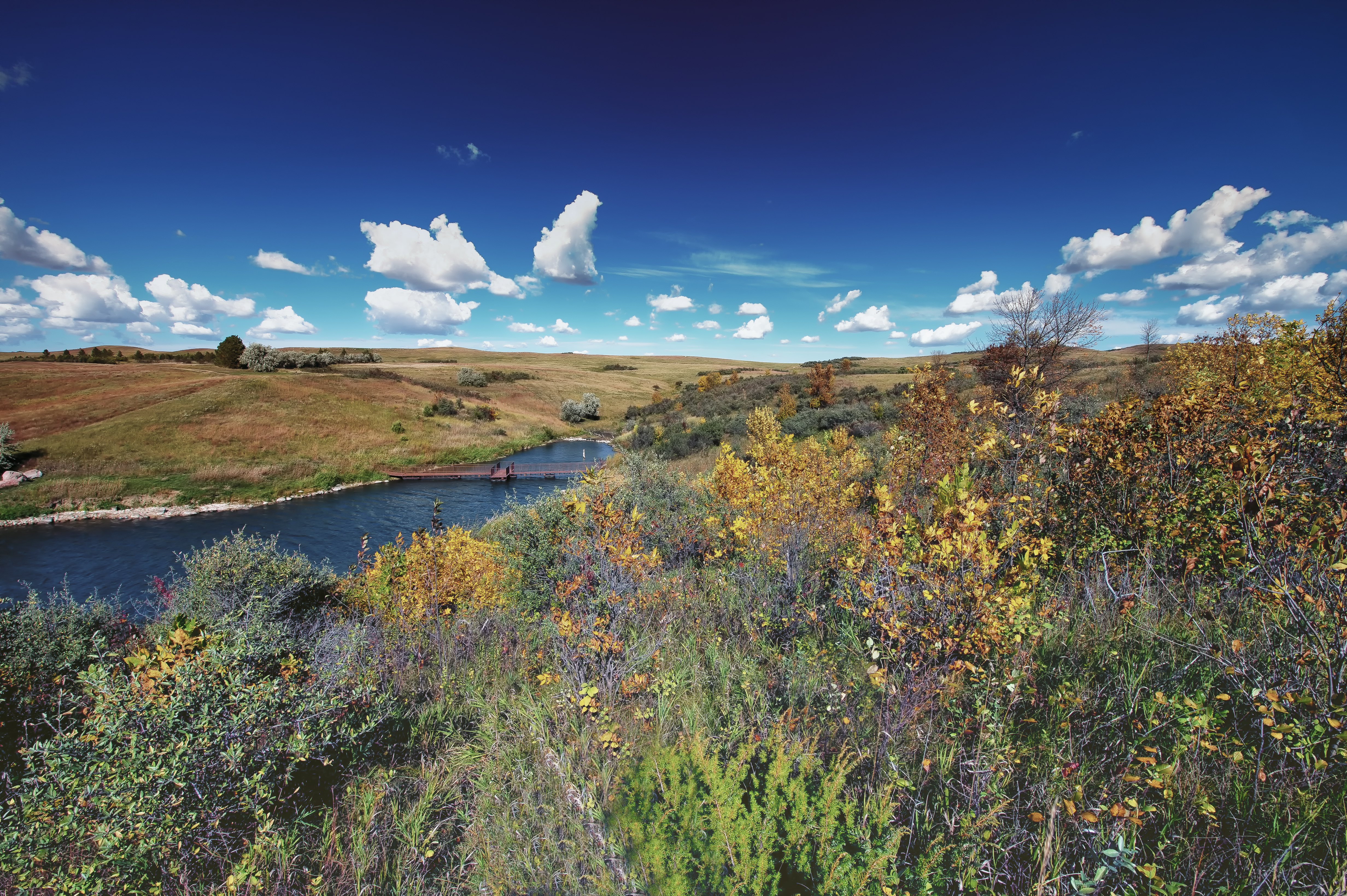
FCD 1 Color
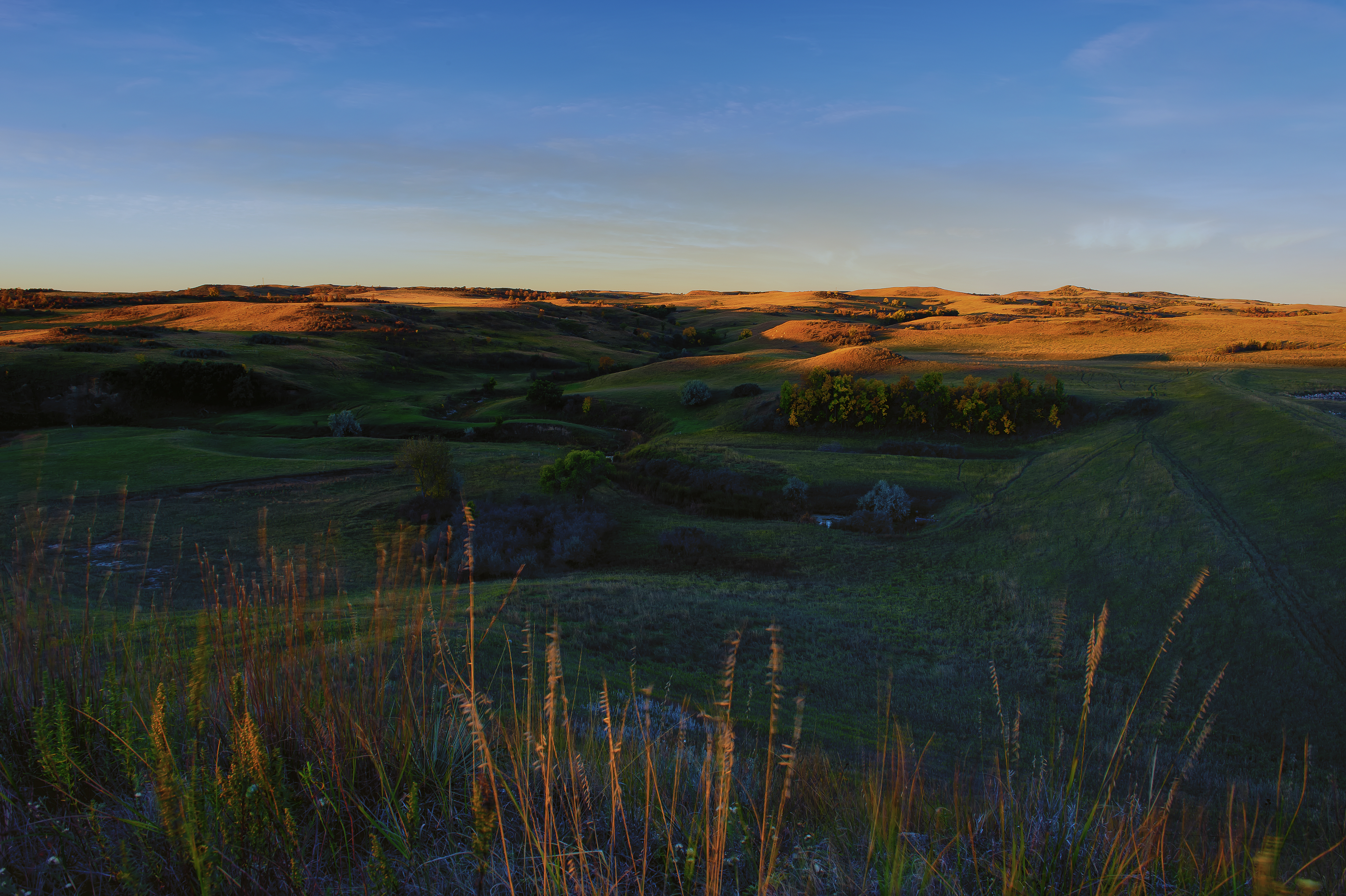
FCD 9 29 13 L4 Color
FCD 9 29 13 L1 Color

FCD 9 29 13 V2 Color
Topographic Map of Morton County, ND, USA
Find elevation by address:

Places in Morton County, ND, USA:
Places near Morton County, ND, USA:
Fort Rice, ND, USA
Mandan
East Morton
303 Mia Ct Se
Mandan
E Main St, Mandan, ND, USA
2010 34th Ave Se
Timberhaven Drive
6717 Kingswood Rd
2807 Langer Ln
6864 Deerewood Ln
46th Avenue Southeast
1648 Timberhaven Dr S
3305 Tavis Rd
1638 Timberhaven Dr S
Keelboat Park
4405 Lucas St
3726 Powder Ridge Dr
3726 Powder Ridge Dr
2724 Essex Loop
Recent Searches:
- Elevation of 611, Roman Road, Old Ford, Bow, London, England, E3 2RW, United Kingdom
- Elevation of 116, Beartown Road, Underhill, Chittenden County, Vermont, 05489, USA
- Elevation of Window Rock, Colfax County, New Mexico, 87714, USA
- Elevation of 4807, Rosecroft Street, Kempsville Gardens, Virginia Beach, Virginia, 23464, USA
- Elevation map of Matawinie, Quebec, Canada
- Elevation of Sainte-Émélie-de-l'Énergie, Matawinie, Quebec, Canada
- Elevation of Rue du Pont, Sainte-Émélie-de-l'Énergie, Matawinie, Quebec, J0K2K0, Canada
- Elevation of 8, Rue de Bécancour, Blainville, Thérèse-De Blainville, Quebec, J7B1N2, Canada
- Elevation of Wilmot Court North, 163, University Avenue West, Northdale, Waterloo, Region of Waterloo, Ontario, N2L6B6, Canada
- Elevation map of Panamá Province, Panama
- Elevation of Balboa, Panamá Province, Panama
- Elevation of San Miguel, Balboa, Panamá Province, Panama
- Elevation of Isla Gibraleón, San Miguel, Balboa, Panamá Province, Panama
- Elevation of 4655, Krischke Road, Schulenburg, Fayette County, Texas, 78956, USA
- Elevation of Carnegie Avenue, Downtown Cleveland, Cleveland, Cuyahoga County, Ohio, 44115, USA
- Elevation of Walhonding, Coshocton County, Ohio, USA
- Elevation of Clifton Down, Clifton, Bristol, City of Bristol, England, BS8 3HU, United Kingdom
- Elevation map of Auvergne-Rhône-Alpes, France
- Elevation map of Upper Savoy, Auvergne-Rhône-Alpes, France
- Elevation of Chamonix-Mont-Blanc, Upper Savoy, Auvergne-Rhône-Alpes, France