Elevation map of McHenry County, ND, USA
Location: United States > North Dakota >
Longitude: -100.70084
Latitude: 48.3814671
Elevation: 458m / 1503feet
Barometric Pressure: 96KPa
Elevation Map:
Satellite Map:
Related Photos:

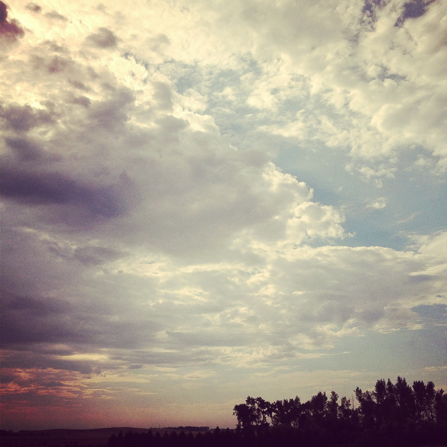
DCP_0050
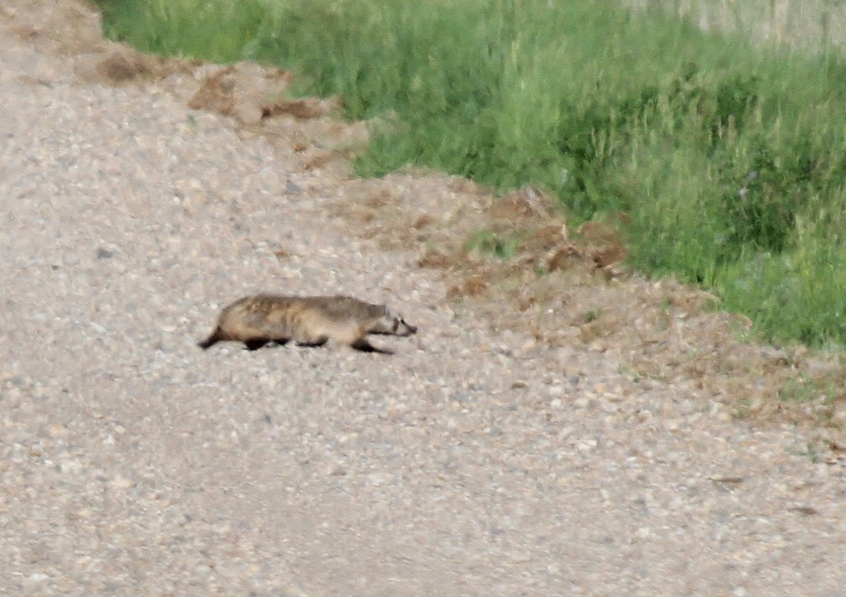
American Badger

Chestnut-collared Longspur

Grasshopper Sparrow
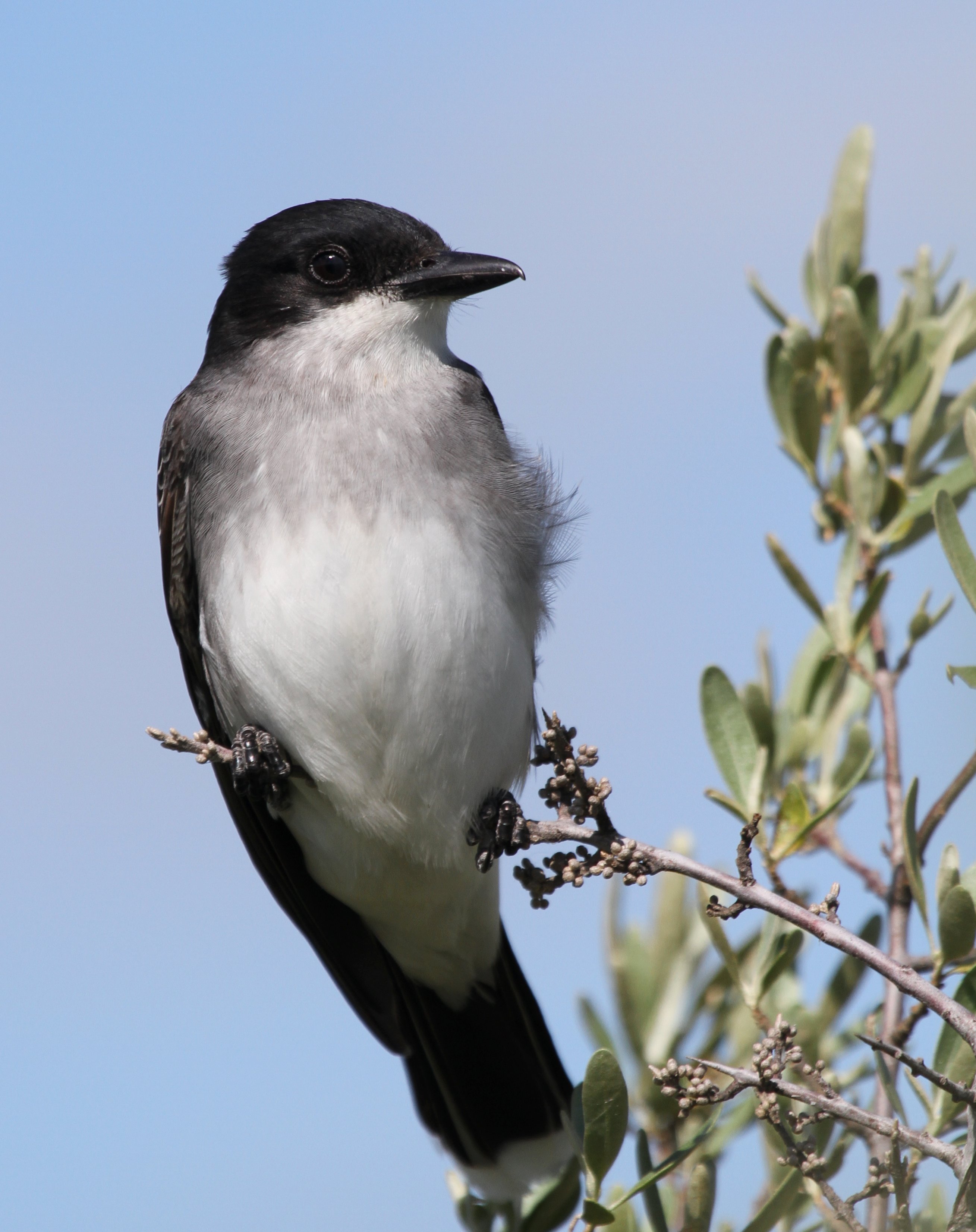
Eastern Kingbird
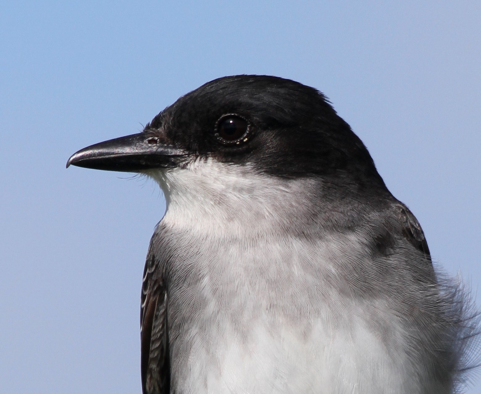
Eastern Kingbird
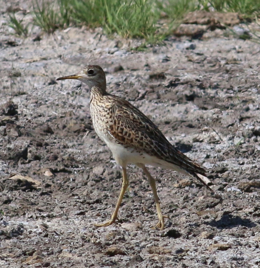
Upland Sandpiper

White-faced Ibis

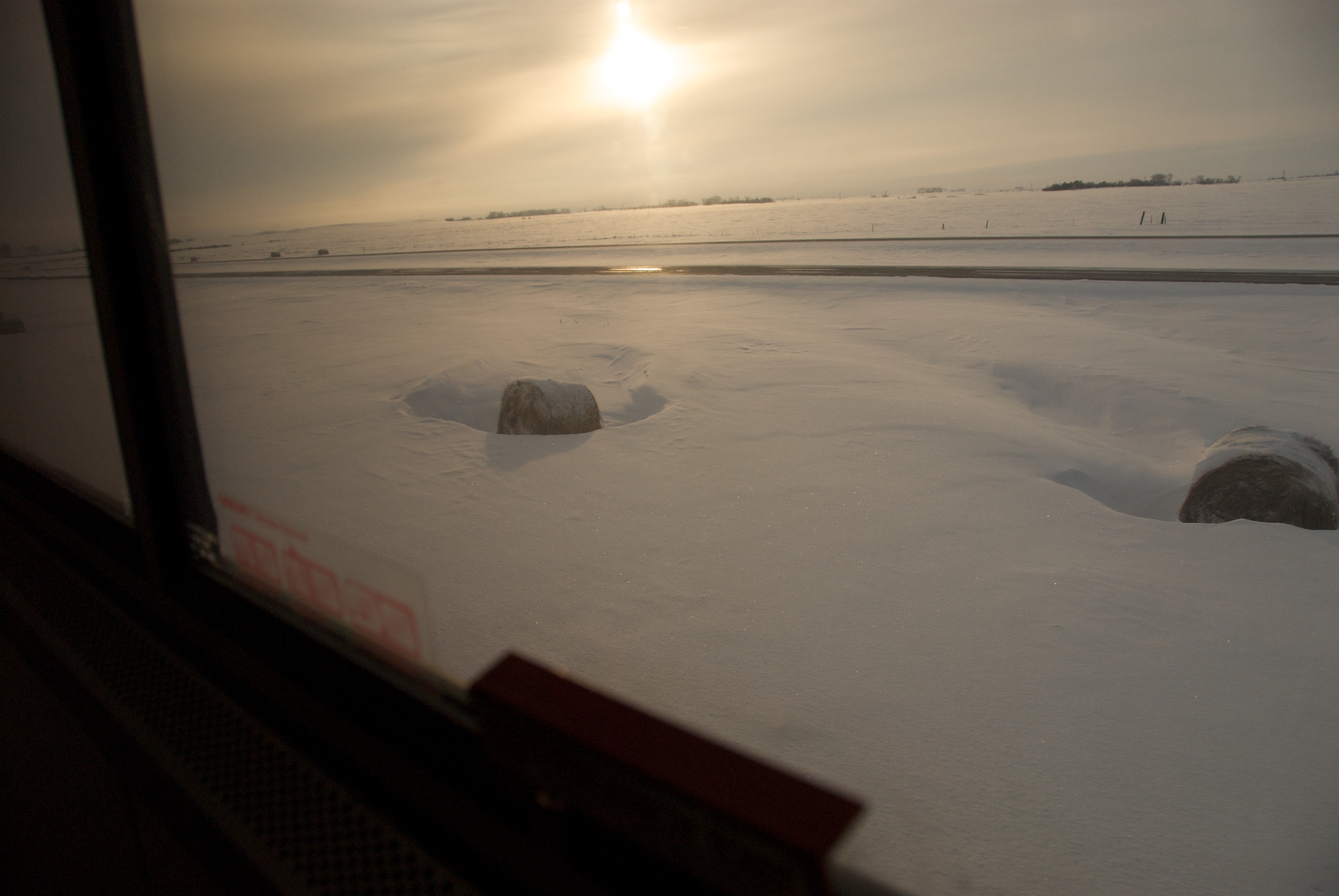
Having fun on the train - somewhere in ND
IMG_1799LG.jpg

Alicia On Stairway Of Sleeper Car
Hay In Granville, ND
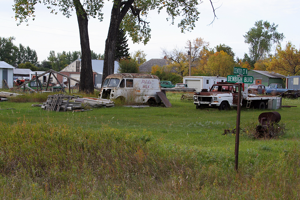
minottrip08-7
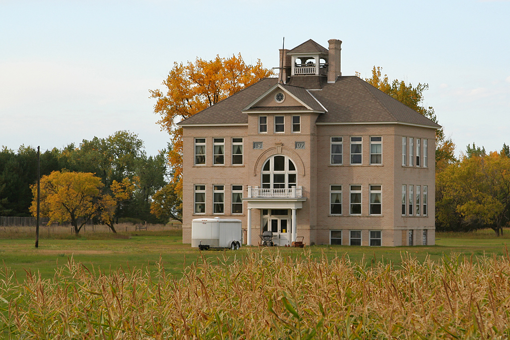
minottrip08-6
Topographic Map of McHenry County, ND, USA
Find elevation by address:

Places in McHenry County, ND, USA:
Places near McHenry County, ND, USA:
Saline
71st Street North
Upham
Meadow
5126-5122
Towner
Deering
Voltaire
5 1st St E, Velva, ND, USA
Velva
Bottineau County
28 Heritage Dr
Surrey
Sawyer
3rd Ave SW, Surrey, ND, USA
Nedrose
621 Thompson St
Main St, Bottineau, ND, USA
Bottineau
N 5th Ave, Glenburn, ND, USA
Recent Searches:
- Elevation of Corso Fratelli Cairoli, 35, Macerata MC, Italy
- Elevation of Tallevast Rd, Sarasota, FL, USA
- Elevation of 4th St E, Sonoma, CA, USA
- Elevation of Black Hollow Rd, Pennsdale, PA, USA
- Elevation of Oakland Ave, Williamsport, PA, USA
- Elevation of Pedrógão Grande, Portugal
- Elevation of Klee Dr, Martinsburg, WV, USA
- Elevation of Via Roma, Pieranica CR, Italy
- Elevation of Tavkvetili Mountain, Georgia
- Elevation of Hartfords Bluff Cir, Mt Pleasant, SC, USA