Elevation of Deering, ND, USA
Location: United States > North Dakota > Mchenry County >
Longitude: -101.05182
Latitude: 48.3955721
Elevation: 473m / 1552feet
Barometric Pressure: 96KPa
Elevation Map:
Satellite Map:
Related Photos:

Desai vashis
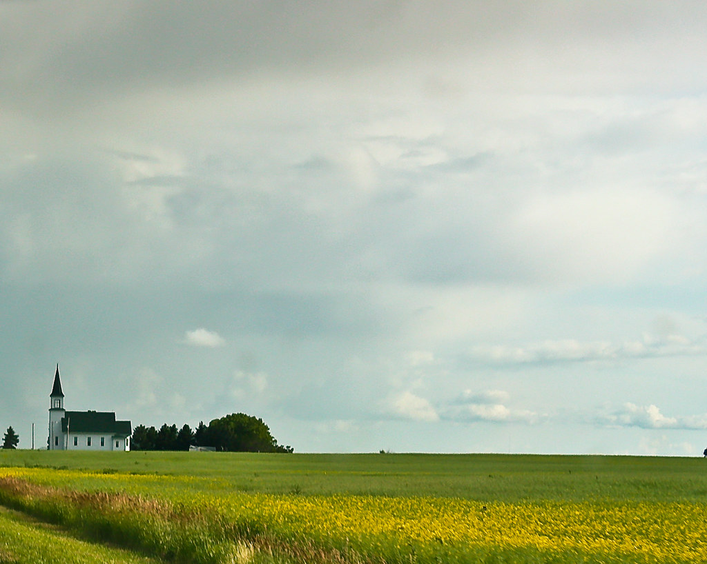
Little Church on the Prairie
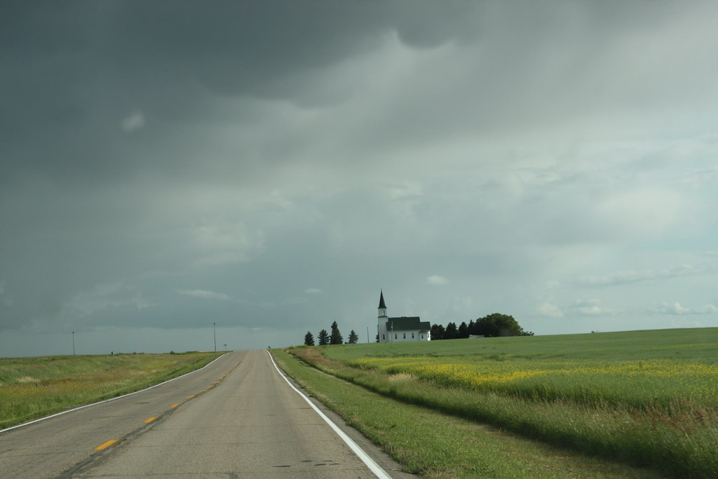
Lone prairie church
Topographic Map of Deering, ND, USA
Find elevation by address:

Places near Deering, ND, USA:
71st Street North
Surrey
3rd Ave SW, Surrey, ND, USA
Nedrose
N 5th Ave, Glenburn, ND, USA
Saline
Glenburn
3000 Us-52
5126-5122
Sawyer
Meadow
Mchenry County
5 1st St E, Velva, ND, USA
Velva
28 Heritage Dr
Upham
Voltaire
Bottineau County
Towner
Main St, Bottineau, ND, USA
Recent Searches:
- Elevation of Corso Fratelli Cairoli, 35, Macerata MC, Italy
- Elevation of Tallevast Rd, Sarasota, FL, USA
- Elevation of 4th St E, Sonoma, CA, USA
- Elevation of Black Hollow Rd, Pennsdale, PA, USA
- Elevation of Oakland Ave, Williamsport, PA, USA
- Elevation of Pedrógão Grande, Portugal
- Elevation of Klee Dr, Martinsburg, WV, USA
- Elevation of Via Roma, Pieranica CR, Italy
- Elevation of Tavkvetili Mountain, Georgia
- Elevation of Hartfords Bluff Cir, Mt Pleasant, SC, USA