Elevation of Glenburn, ND, USA
Location: United States > North Dakota > Renville County >
Longitude: -101.22071
Latitude: 48.5130744
Elevation: 478m / 1568feet
Barometric Pressure: 96KPa
Elevation Map:
Satellite Map:
Related Photos:
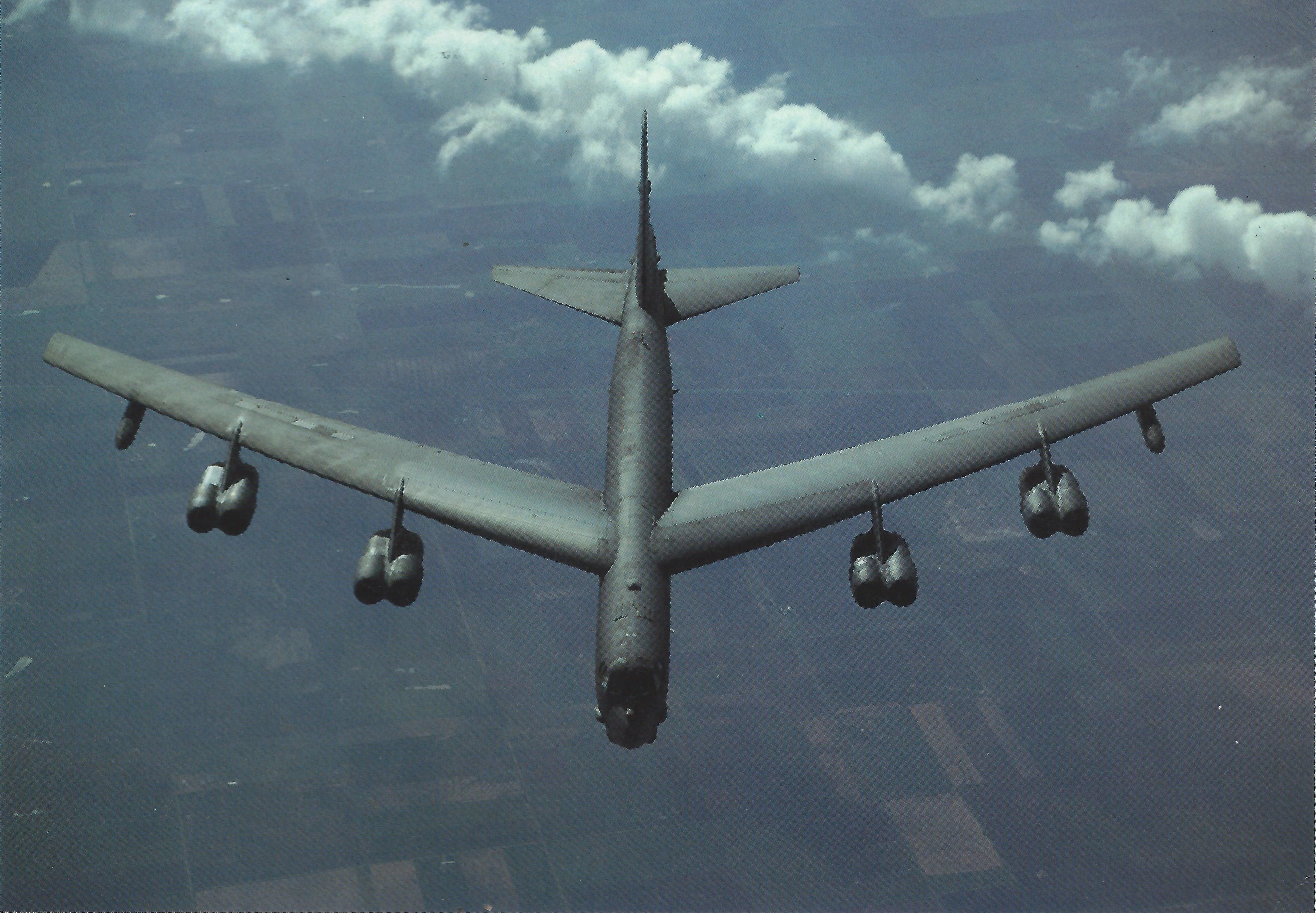
B-52 USAF
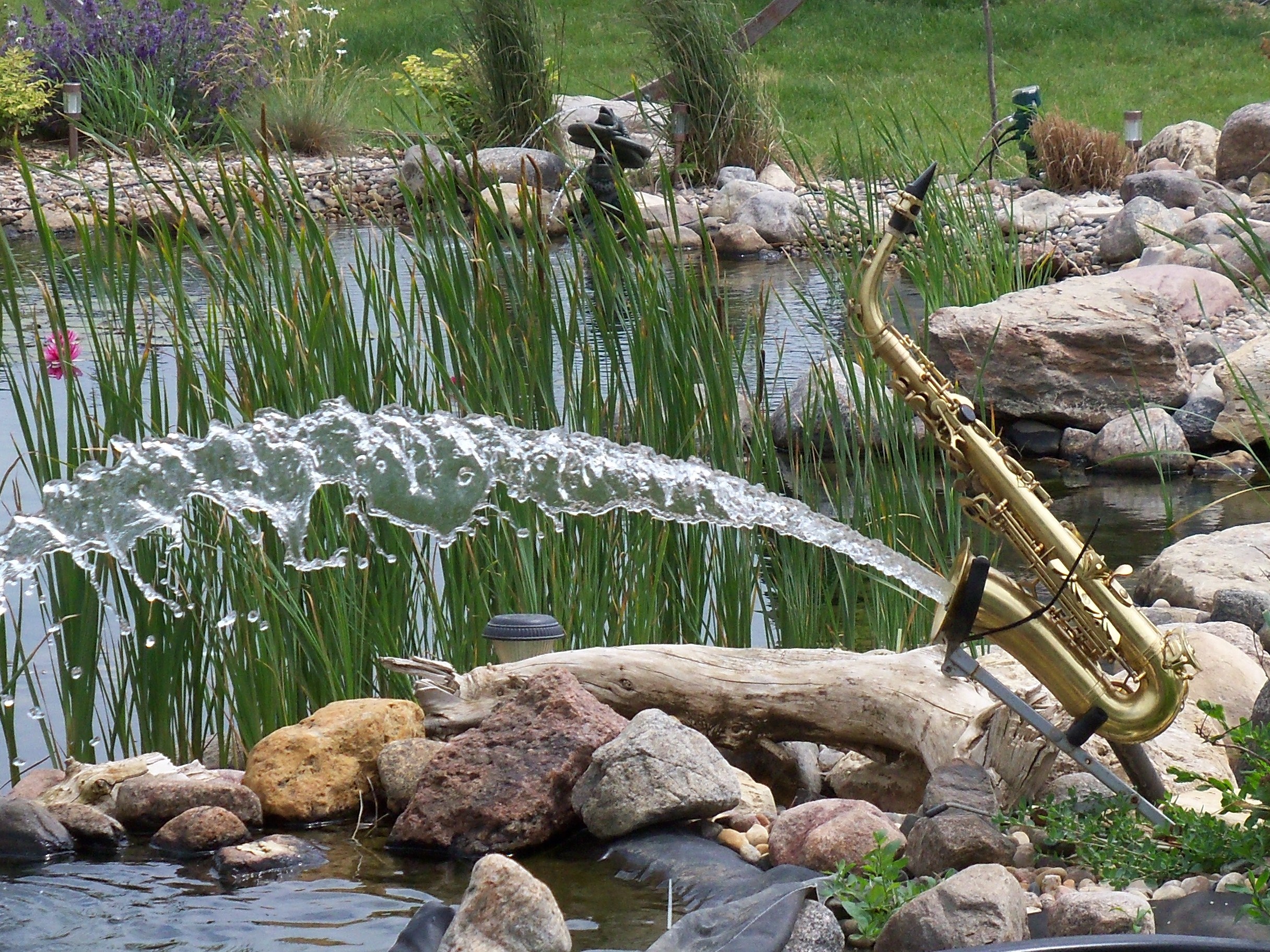
A nice color contrast

F-8 CRUSADER - 1981

F-4 PHANTOM - 1981

F-106 DELTA DART - 1981

"New Zealand Springs" scent LOLZ - 23 March 2014 #newzealand #marketing #aotearoa #dawn
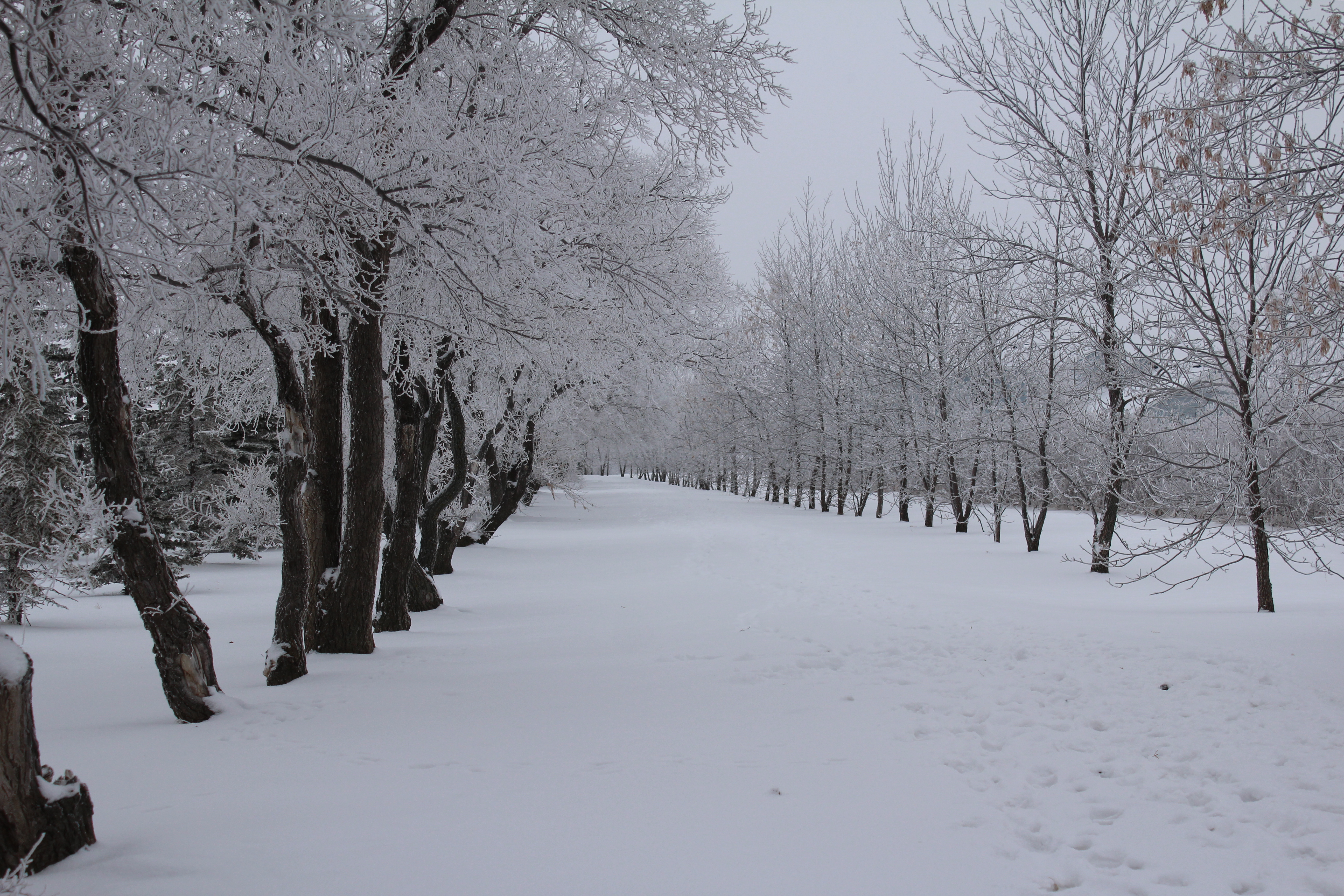
Winter in North Dakota
Too Cool!!!! (Just took the picture)
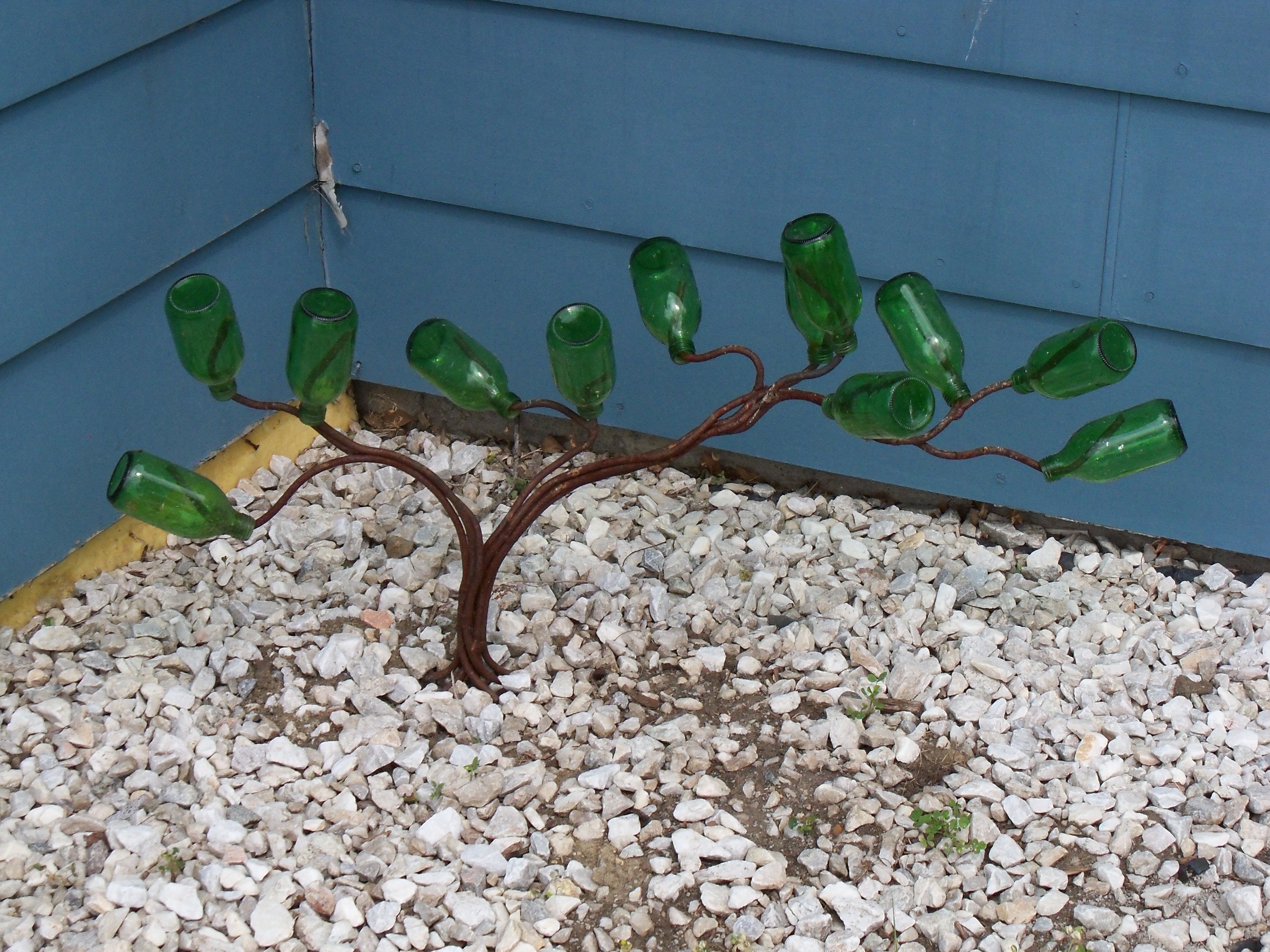
Transplanted the Bonzai
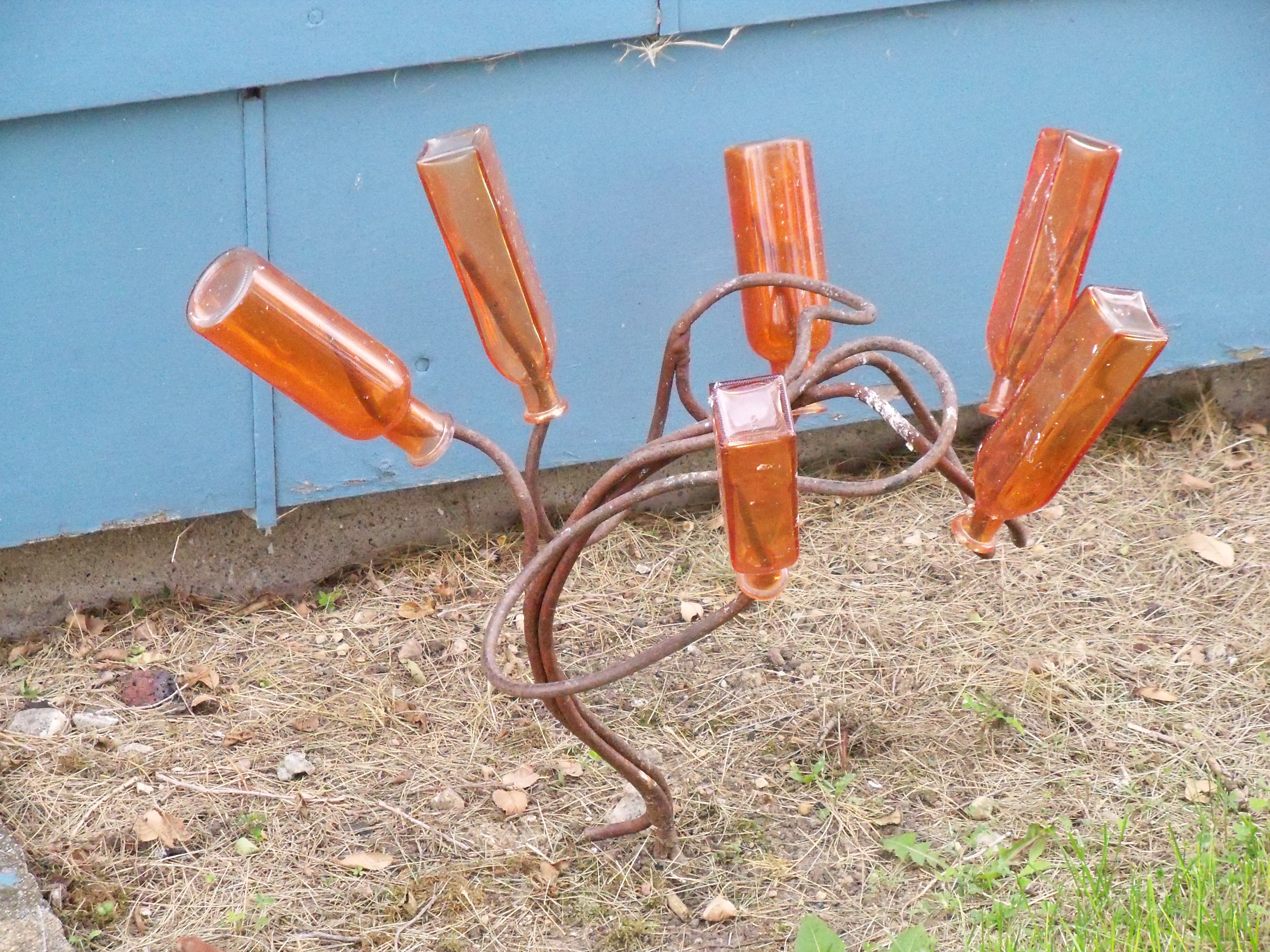
Orange popsicle tree
Big bush moved to a shady area!!
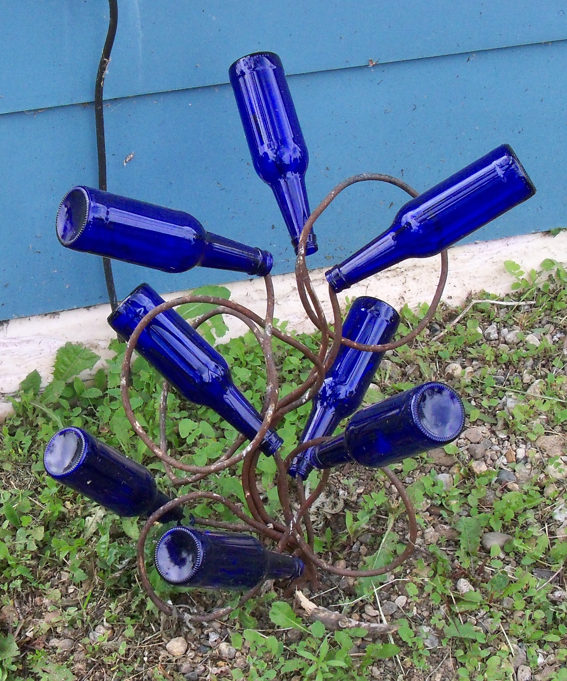
More Blue
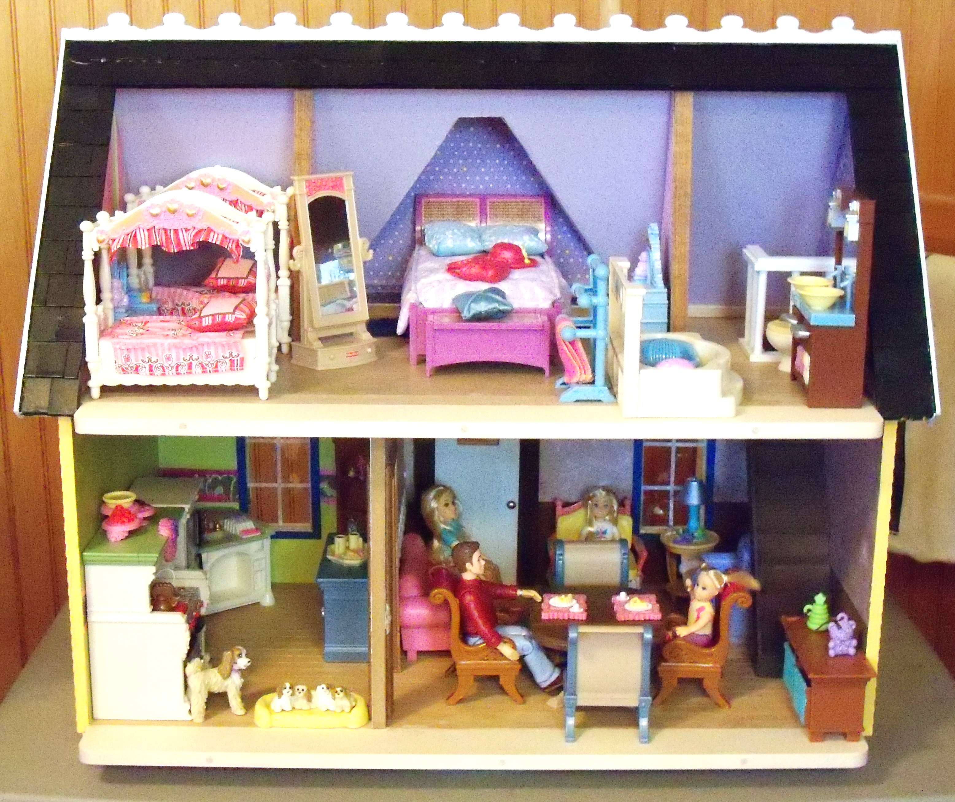
MORE FURNITURE
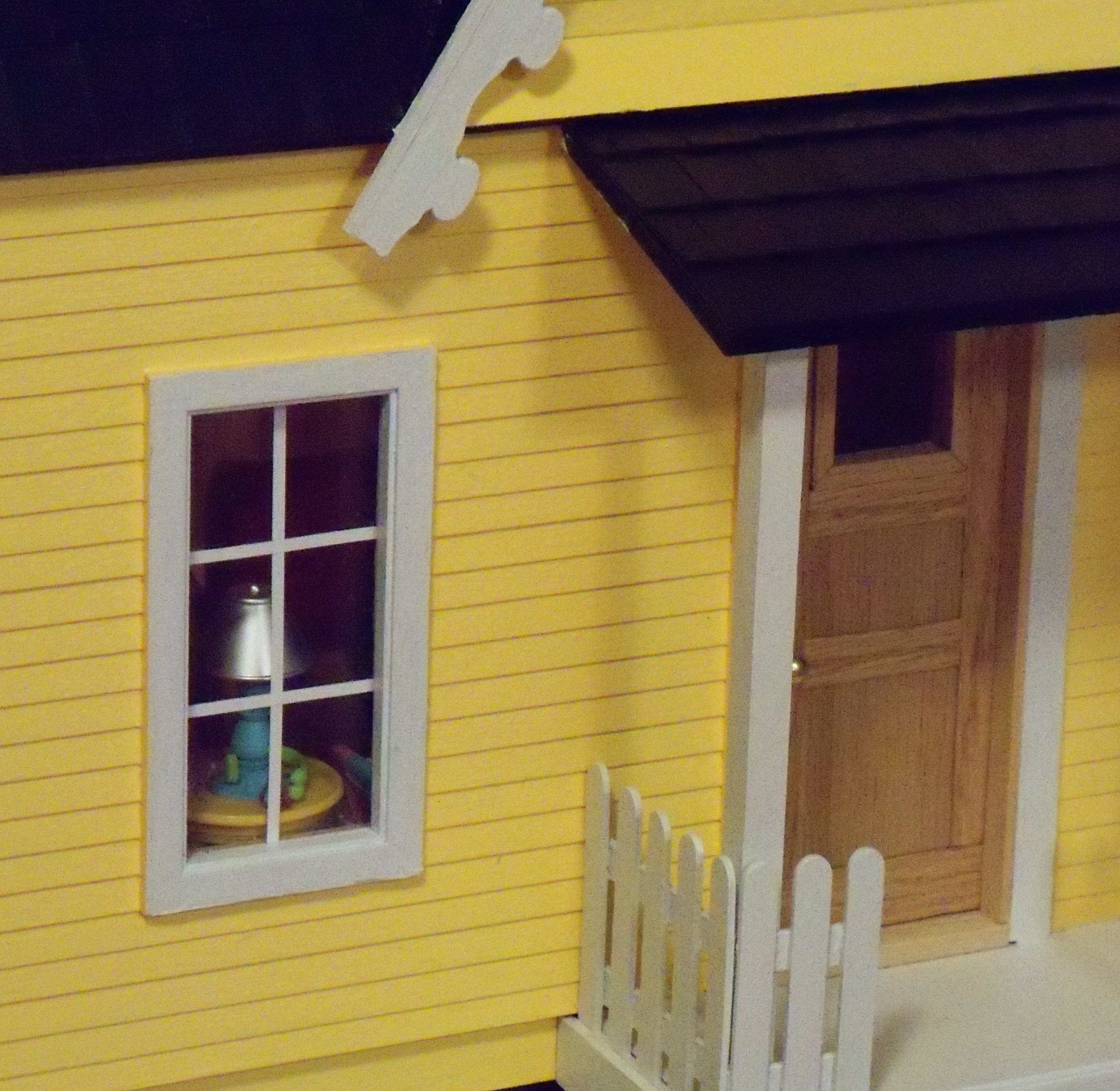
A peek through the window
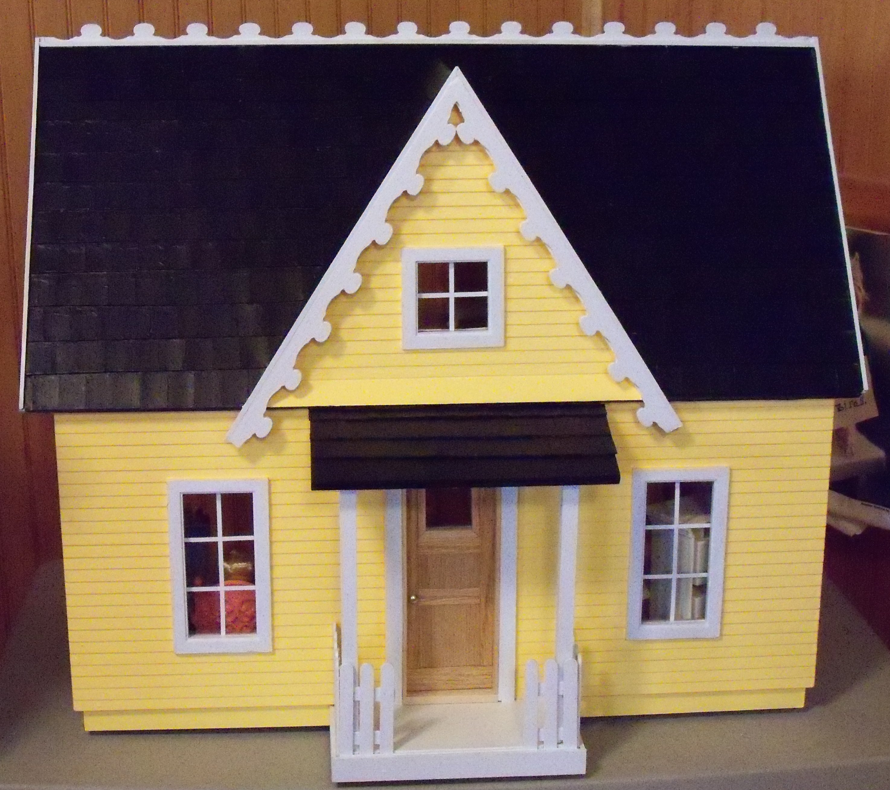
First attempt Dollhouse
Blue Spruce
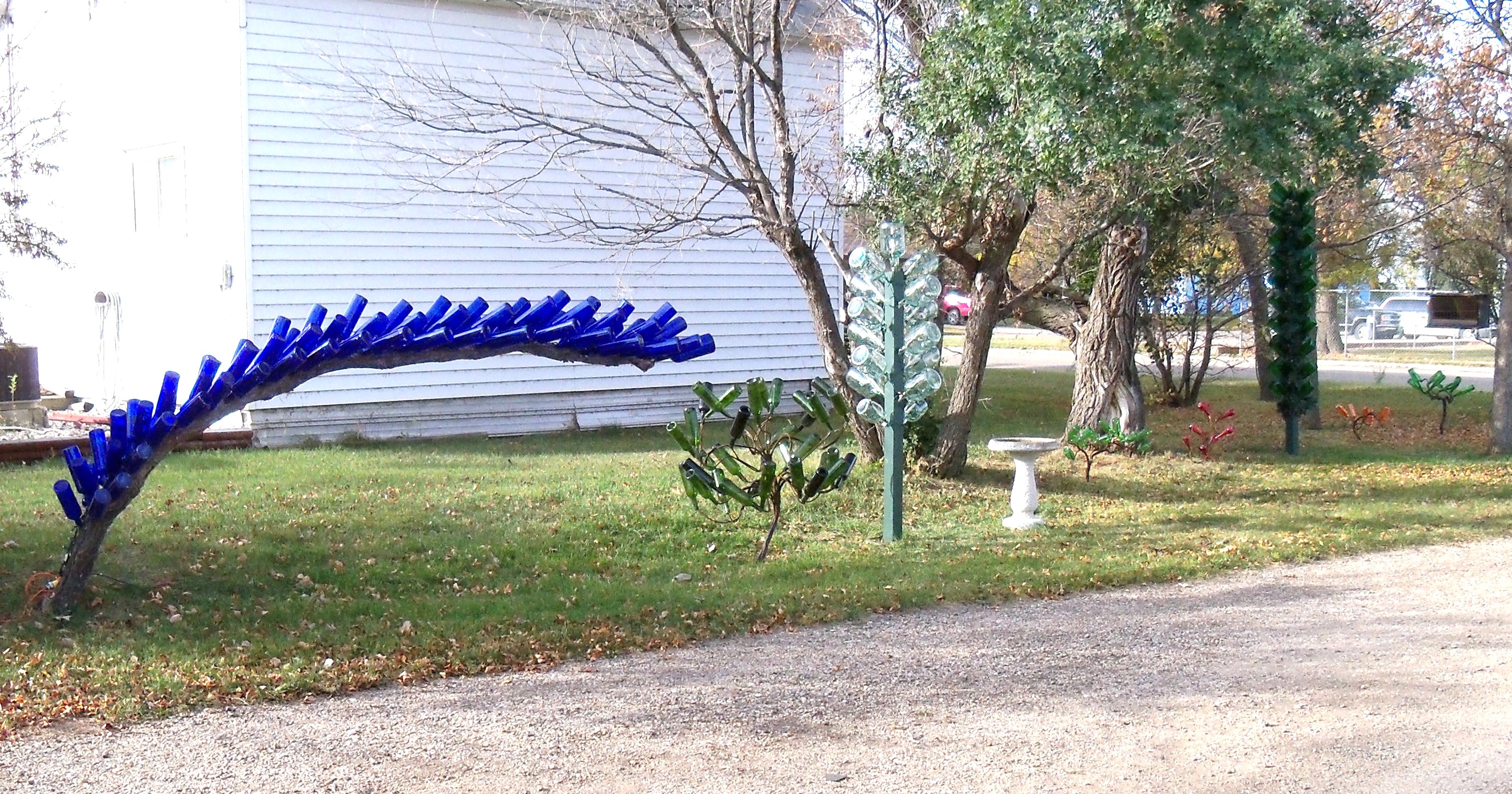
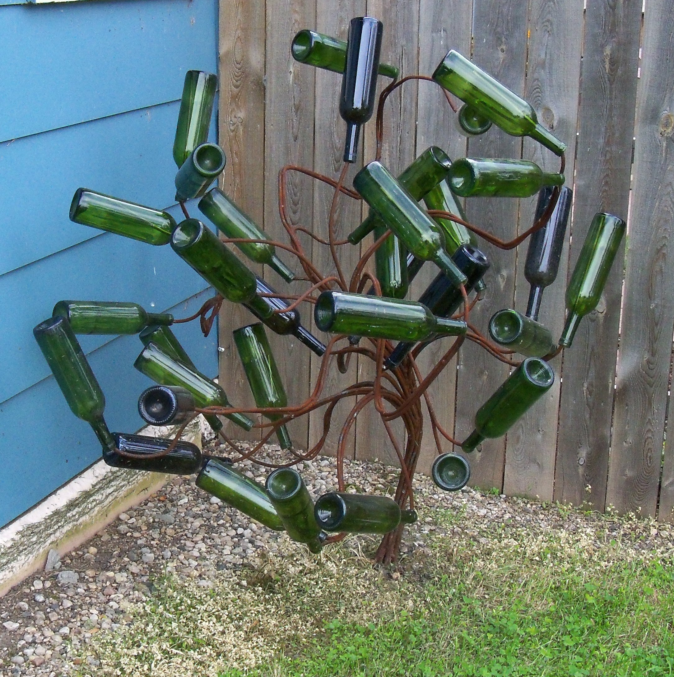
Bottletree Avenue
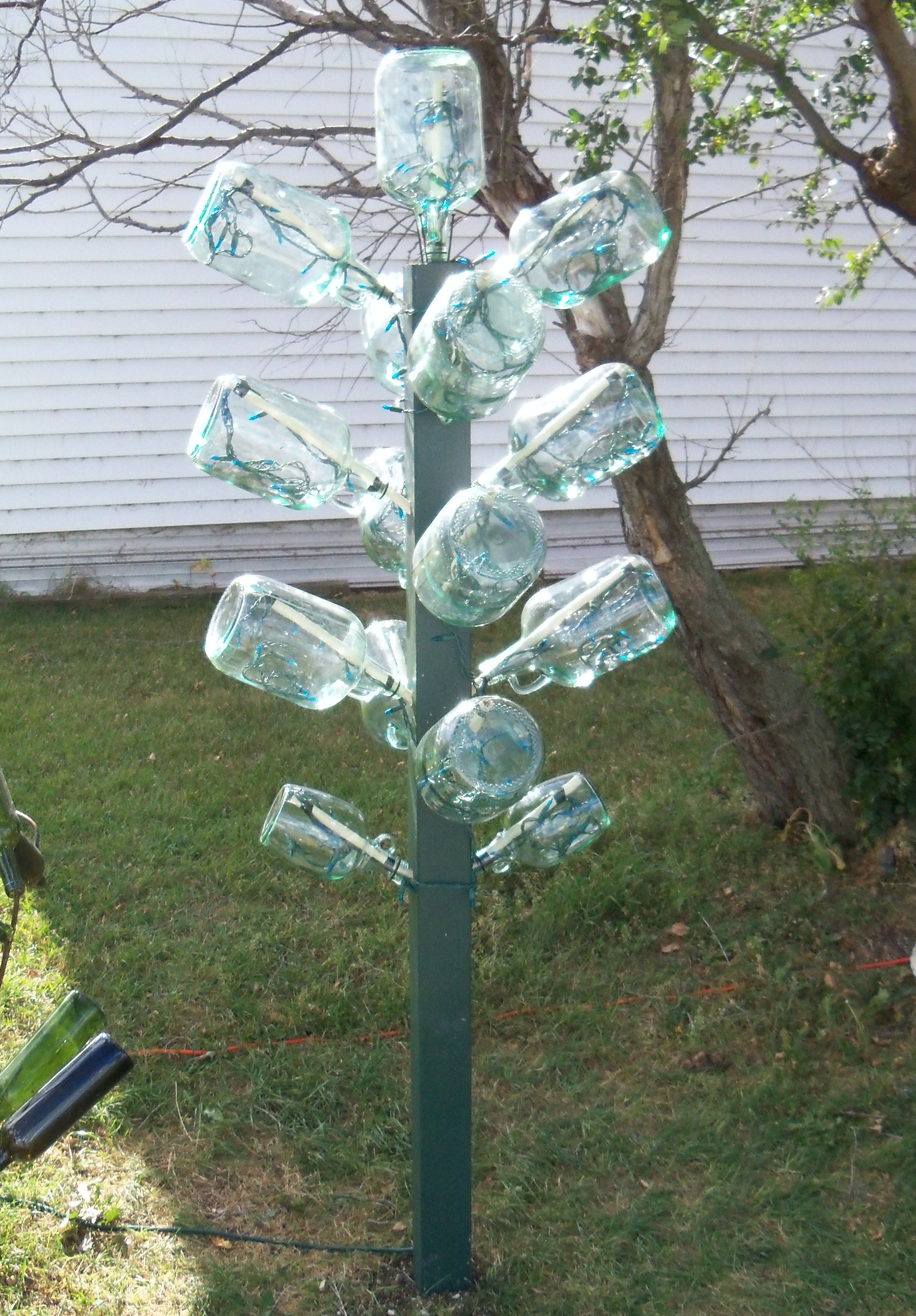
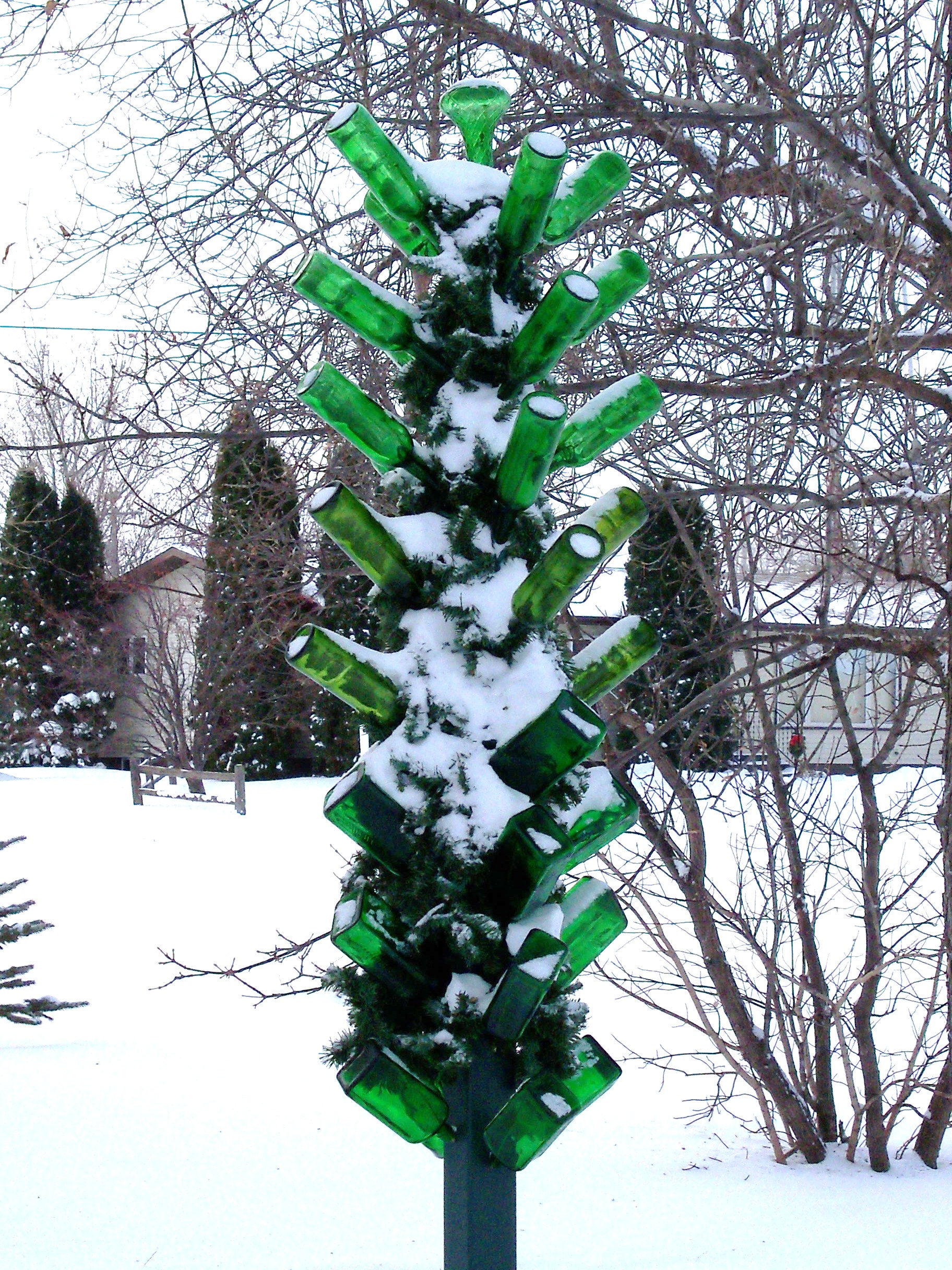
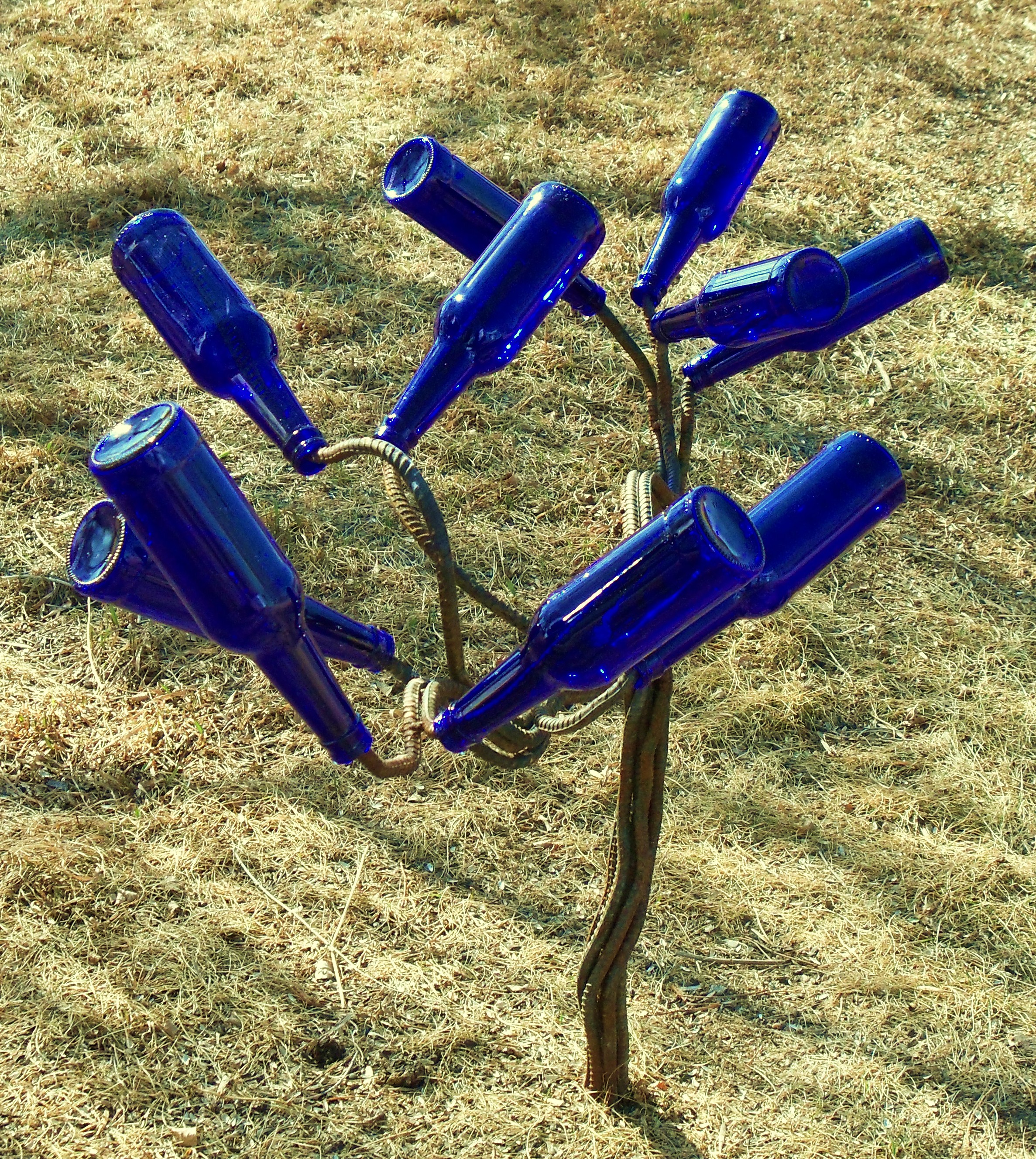
"Jug" Tree
Tall bottletree
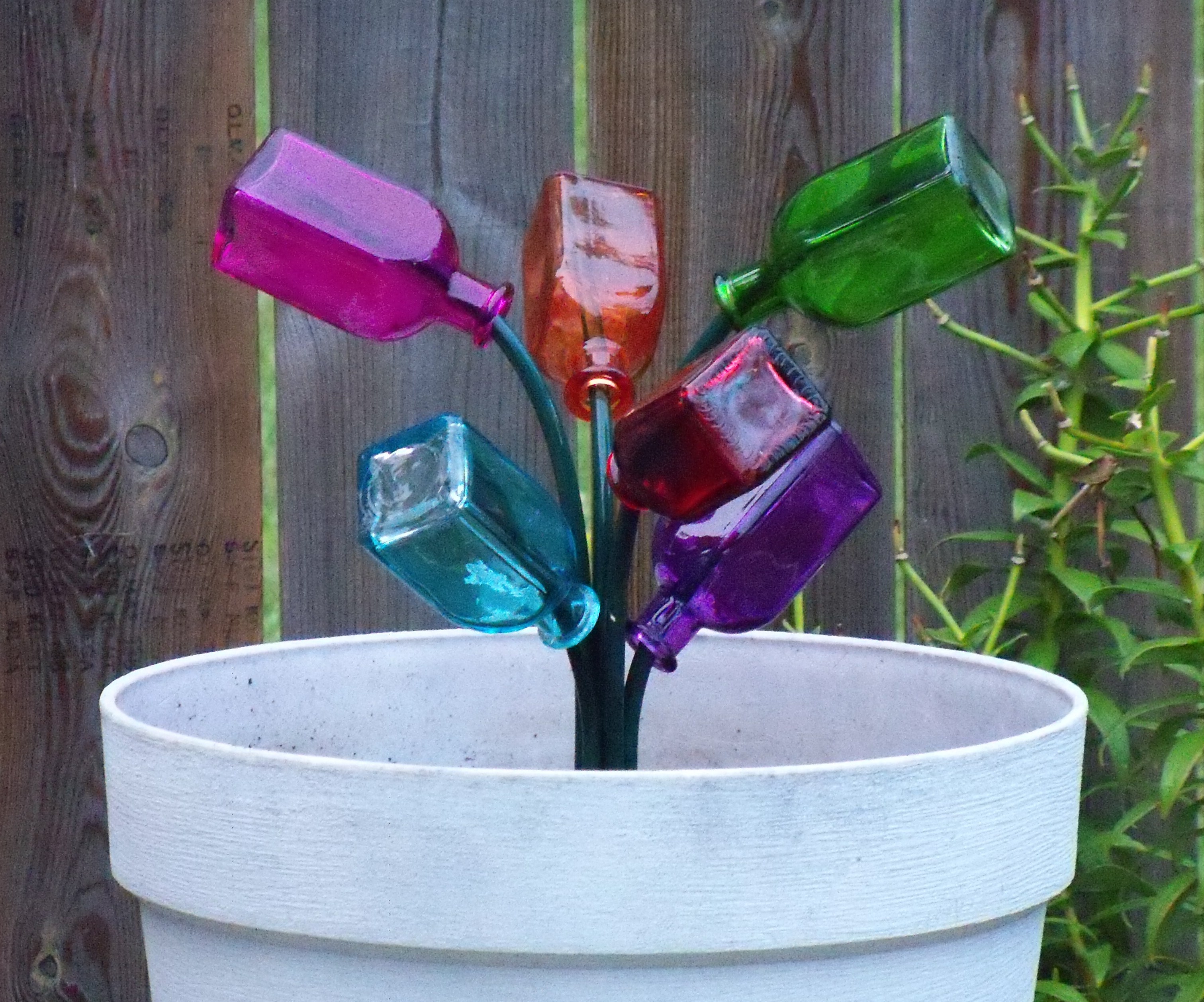
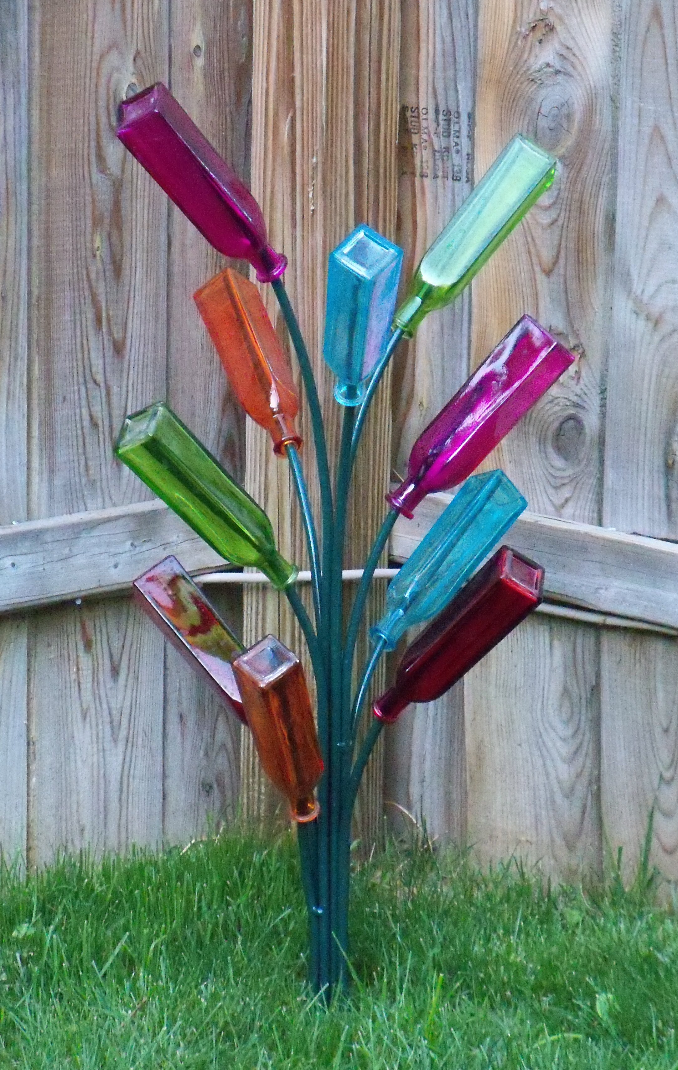
Pot of many colors
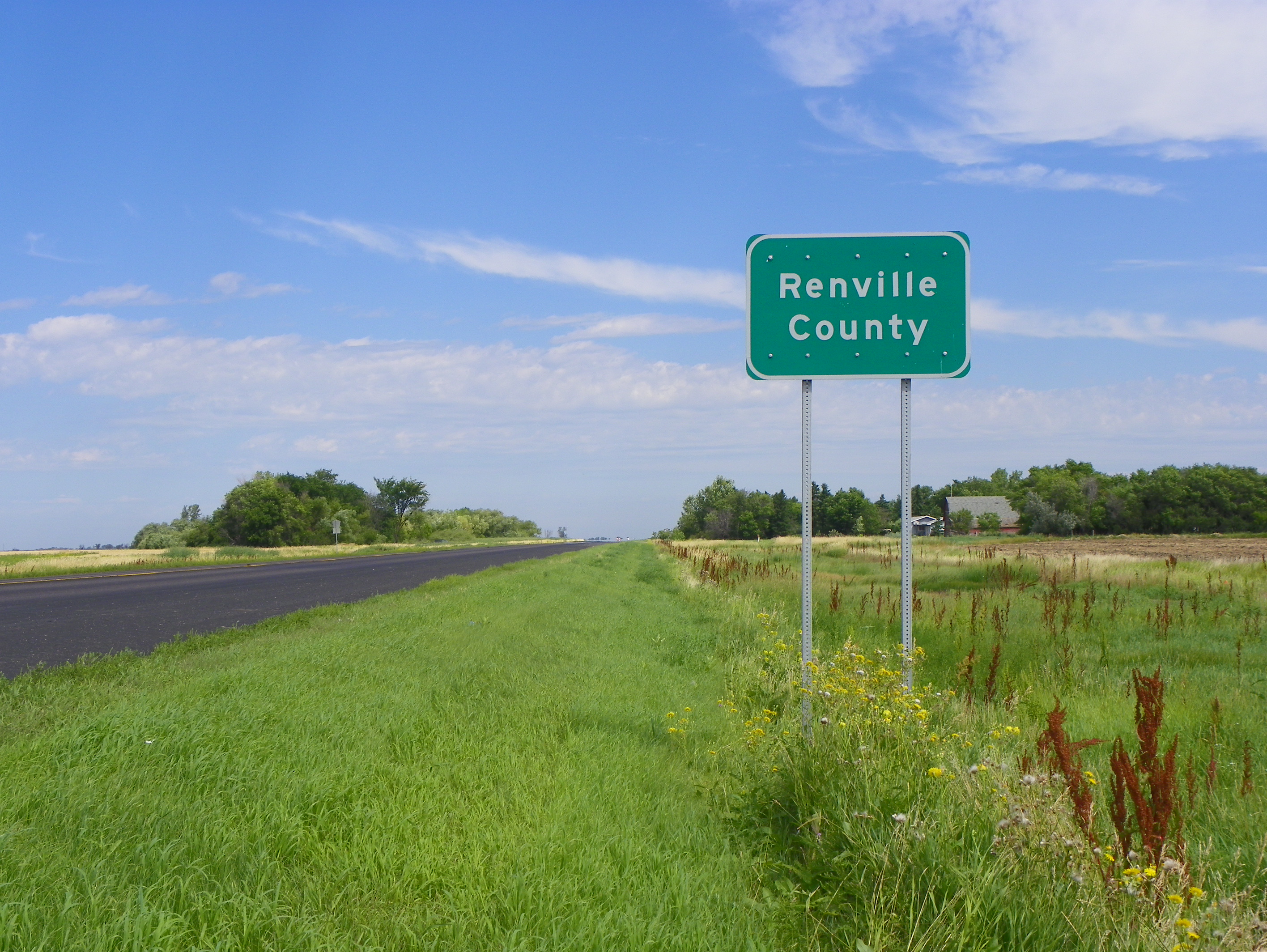
Renville County Line
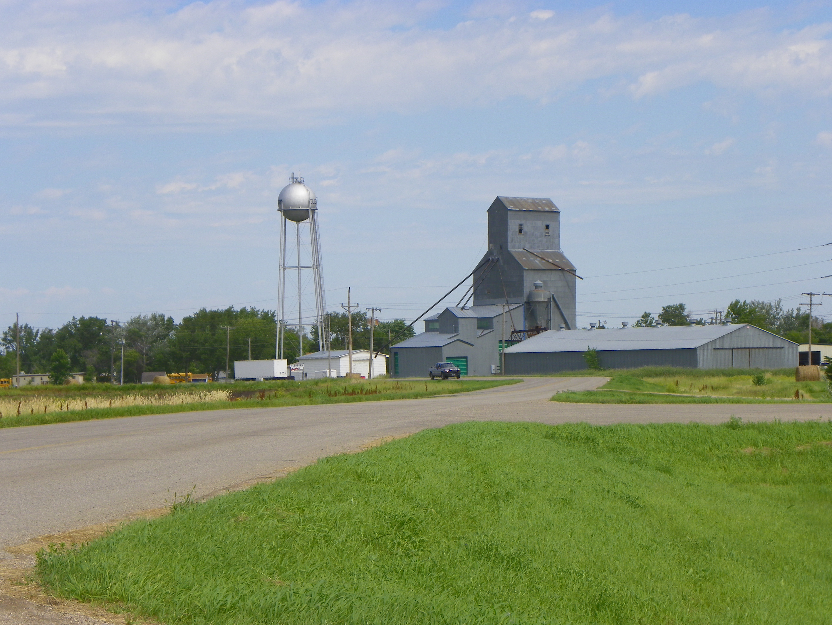
Glenburn, Renville County, North Dakota
Topographic Map of Glenburn, ND, USA
Find elevation by address:

Places in Glenburn, ND, USA:
Places near Glenburn, ND, USA:
N 5th Ave, Glenburn, ND, USA
Deering
Nedrose
Surrey
3rd Ave SW, Surrey, ND, USA
3000 Us-52
71st Street North
Saline
Sawyer
Meadow
Upham
5126-5122
Mchenry County
28 Heritage Dr
Velva
5 1st St E, Velva, ND, USA
Bottineau County
Voltaire
Park St, Waskada, MB R0M 2E0, Canada
Waskada
Recent Searches:
- Elevation of Corso Fratelli Cairoli, 35, Macerata MC, Italy
- Elevation of Tallevast Rd, Sarasota, FL, USA
- Elevation of 4th St E, Sonoma, CA, USA
- Elevation of Black Hollow Rd, Pennsdale, PA, USA
- Elevation of Oakland Ave, Williamsport, PA, USA
- Elevation of Pedrógão Grande, Portugal
- Elevation of Klee Dr, Martinsburg, WV, USA
- Elevation of Via Roma, Pieranica CR, Italy
- Elevation of Tavkvetili Mountain, Georgia
- Elevation of Hartfords Bluff Cir, Mt Pleasant, SC, USA