Elevation map of Bottineau County, ND, USA
Location: United States > North Dakota >
Longitude: -100.74863
Latitude: 48.7820733
Elevation: 448m / 1470feet
Barometric Pressure: 96KPa
Elevation Map:
Satellite Map:
Related Photos:
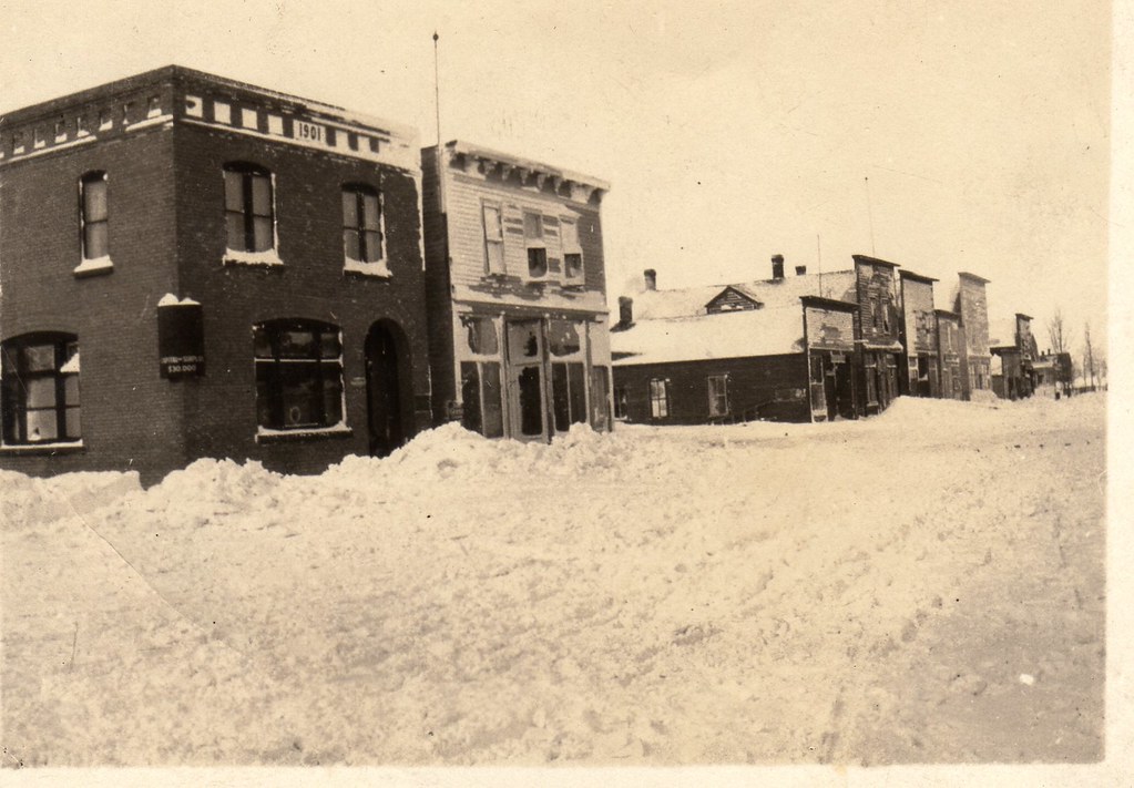
Souris, ND

Dakota maid flour #livelovedocument
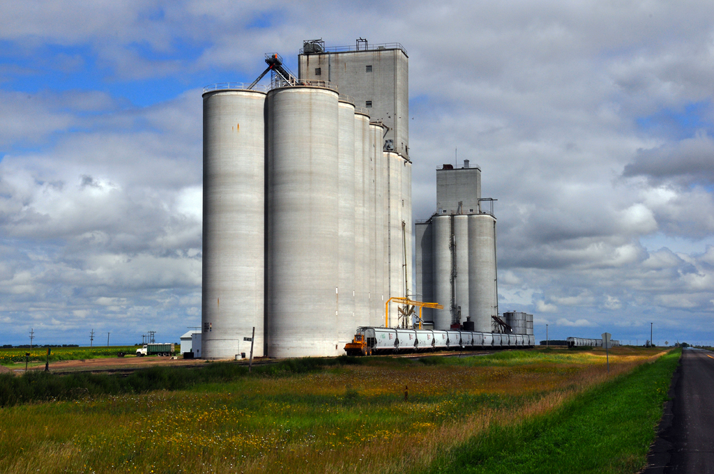
Russell, ND
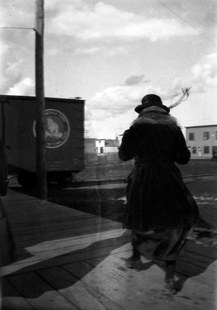
Windy on the platform

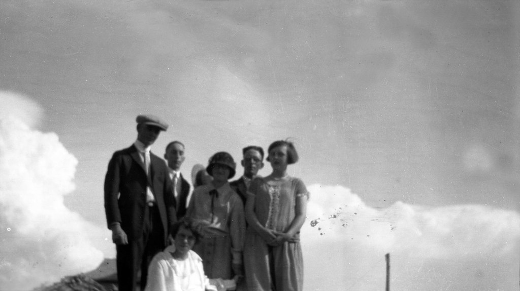
Three Merry Maids
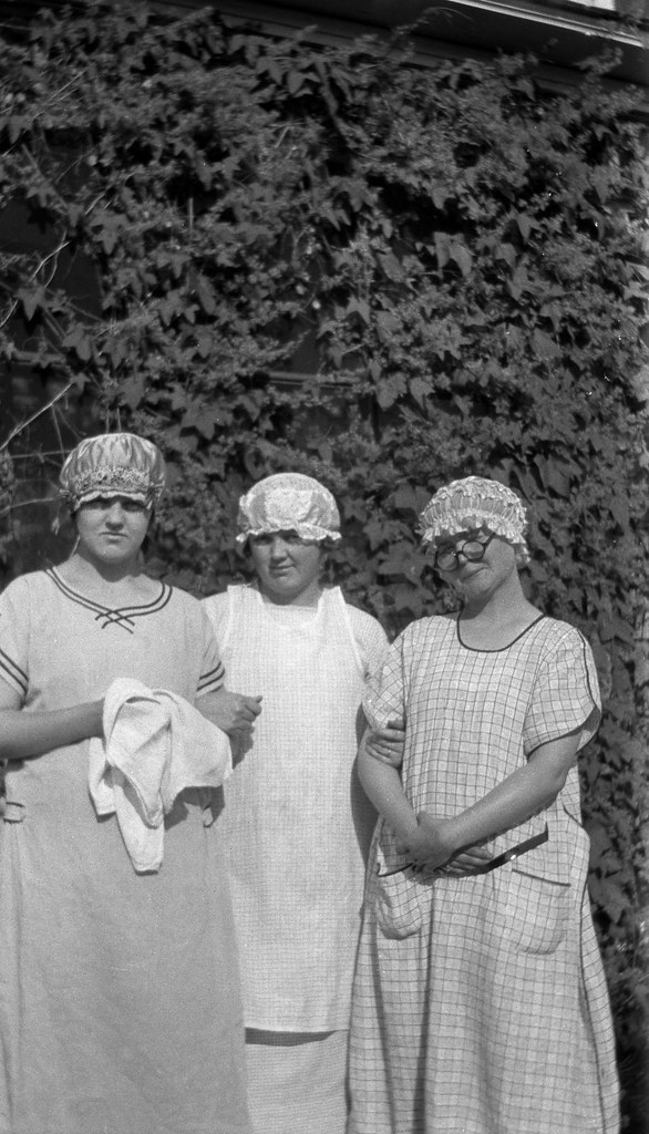
Three Merry Maids

Luella with a camera
On top of the wood pile
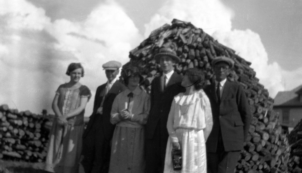
Wood pile
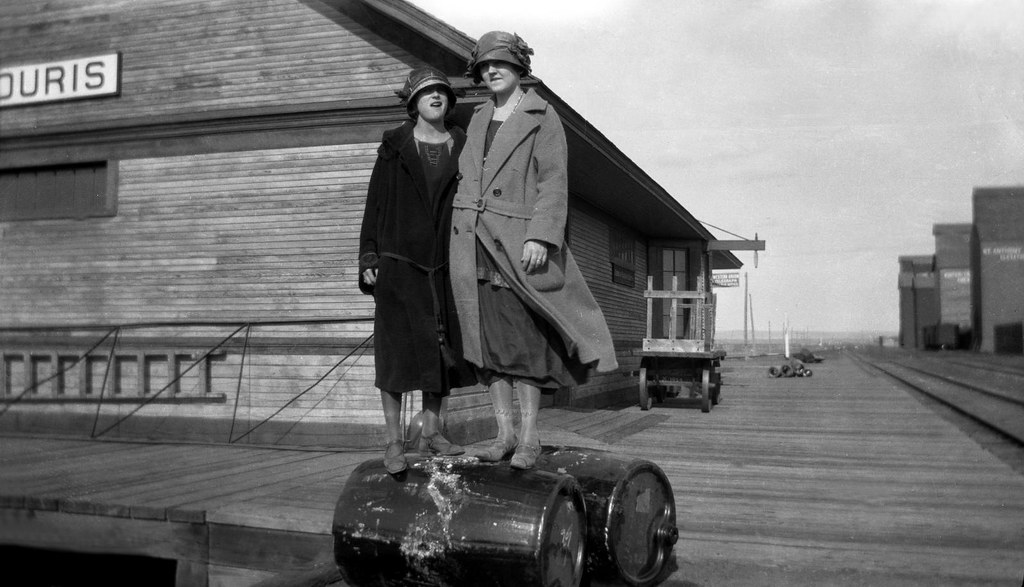
Souris Train Depot
Topographic Map of Bottineau County, ND, USA
Find elevation by address:

Places in Bottineau County, ND, USA:
Places near Bottineau County, ND, USA:
Meadow
Upham
Main St, Bottineau, ND, USA
Bottineau
621 Thompson St
Park St, Waskada, MB R0M 2E0, Canada
Waskada
11 Murray St, Goodlands, MB R0M 0R0, Canada
71st Street North
Saline
Brenda
Mchenry County
Turtle Mountains
Rose Ave, Deloraine, MB R0M 0M0, Canada
Deloraine
Deering
N 5th Ave, Glenburn, ND, USA
Glenburn
Towner
5126-5122
Recent Searches:
- Elevation of Corso Fratelli Cairoli, 35, Macerata MC, Italy
- Elevation of Tallevast Rd, Sarasota, FL, USA
- Elevation of 4th St E, Sonoma, CA, USA
- Elevation of Black Hollow Rd, Pennsdale, PA, USA
- Elevation of Oakland Ave, Williamsport, PA, USA
- Elevation of Pedrógão Grande, Portugal
- Elevation of Klee Dr, Martinsburg, WV, USA
- Elevation of Via Roma, Pieranica CR, Italy
- Elevation of Tavkvetili Mountain, Georgia
- Elevation of Hartfords Bluff Cir, Mt Pleasant, SC, USA