Elevation of Cavalier County, ND, USA
Location: United States > North Dakota >
Longitude: -98.478110
Latitude: 48.8103752
Elevation: 487m / 1598feet
Barometric Pressure: 96KPa
Elevation Map:
Satellite Map:
Related Photos:
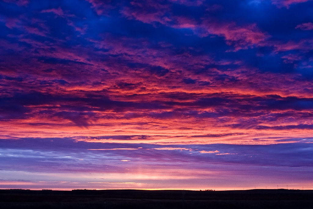
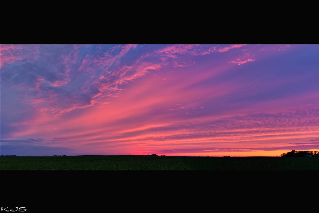
10-27-09 Sunrise
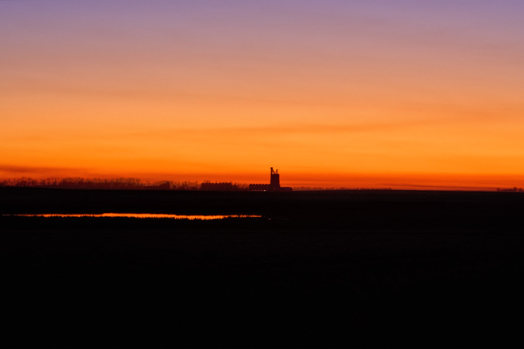
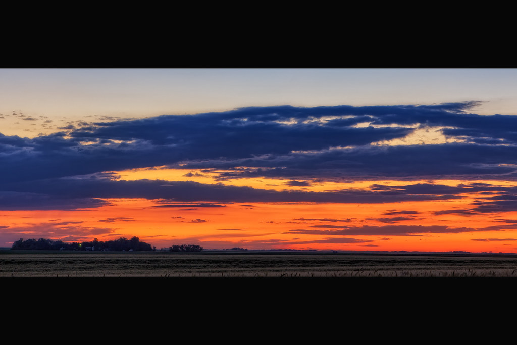
Sunset on the Prairie
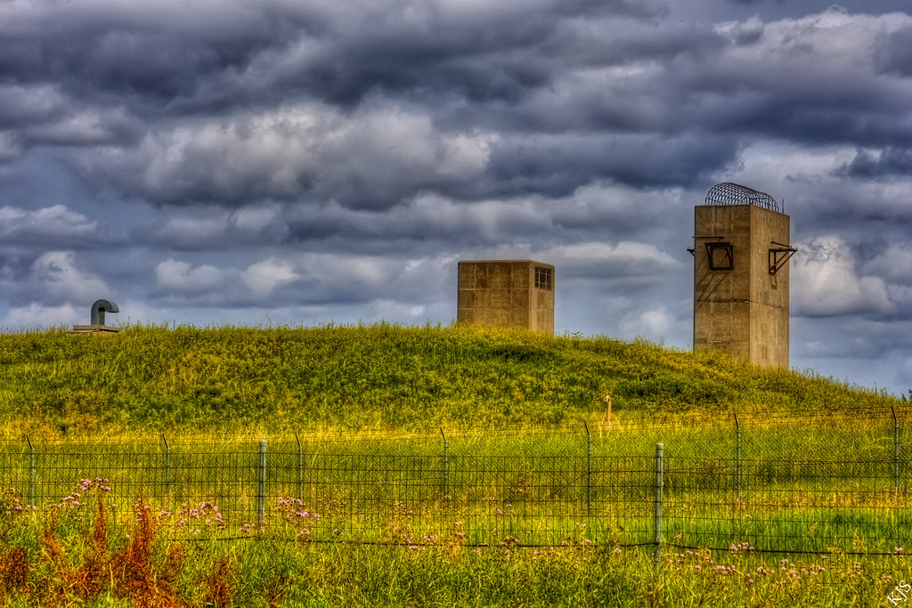
RSL#2

Less Traveled
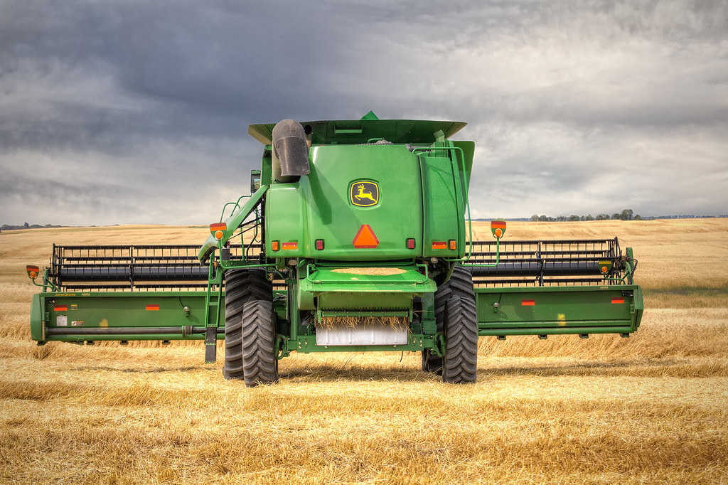
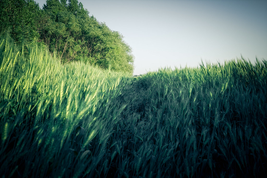
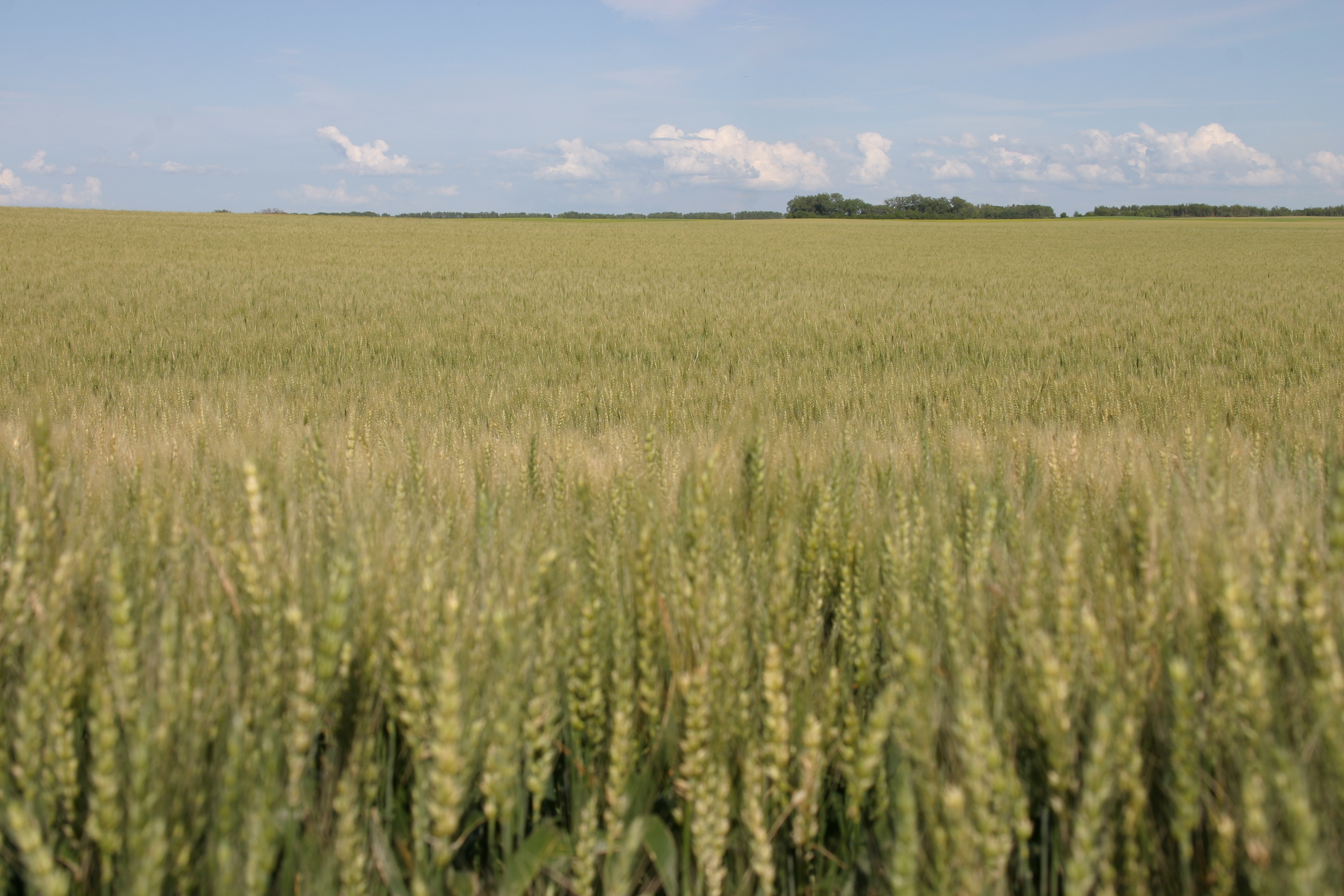
Harvest Time

Cumulus Cloud Building
Sunset 8/5/11

July 31, 2010
7/25/2012 Comes to an End
Rain Cloud

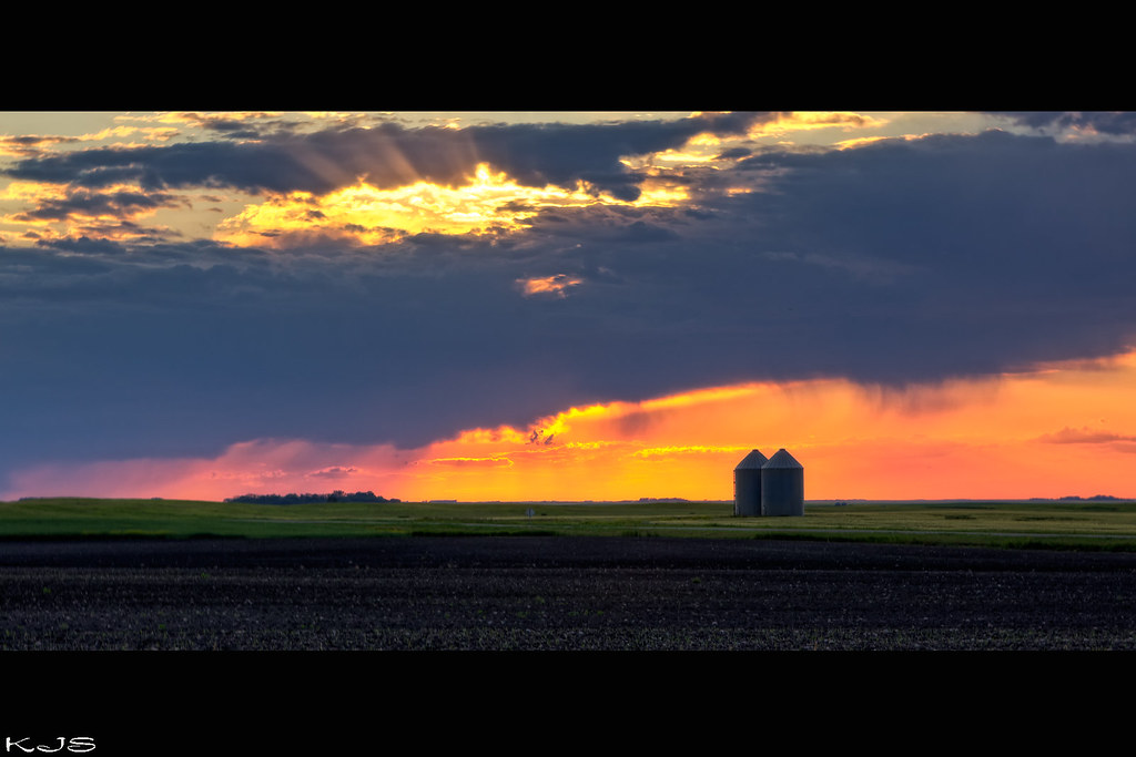
sun rays

Sunrise 9/23

Wall-e
sunset 5/19/12

One Prime Wednesday
Mowed Down

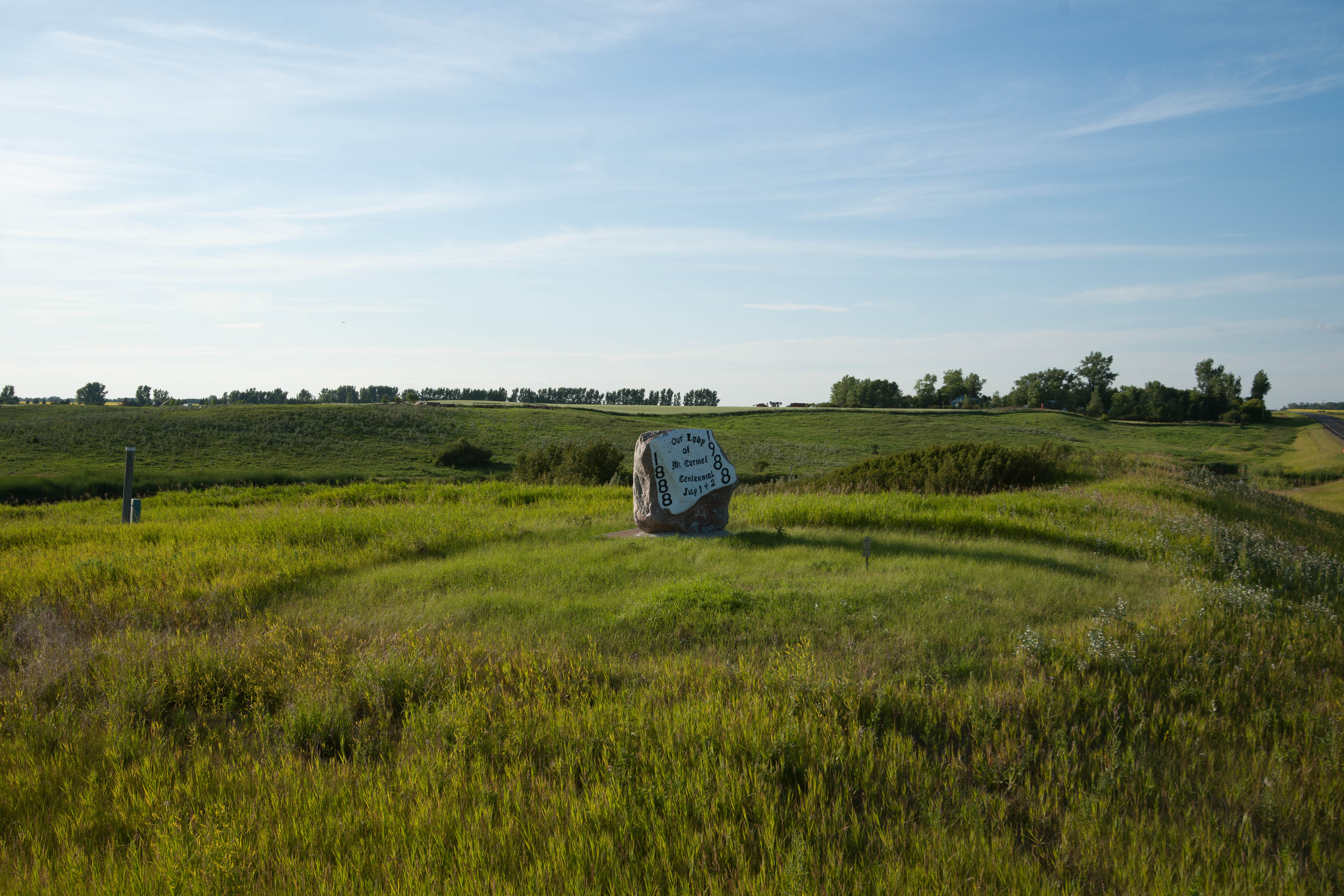
Dresden, North Dakota

The road in between
20080731-US-NDK_DaveLisaWedding-065
Langdon, North Dakota

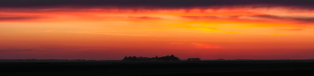
Burning Sunset

Corn Harvest
Topographic Map of Cavalier County, ND, USA
Find elevation by address:

Places in Cavalier County, ND, USA:
Places near Cavalier County, ND, USA:
Brown Acres
10 Provincial Rd, Darlingford, MB R0G 0L0, Canada
Byron
Pembina
Fancher
Edmore
Main St, Edmore, ND, USA
9779 Nd-17
Calvin
Louise
Ramsey County
Division No. 4
Crystal City
Broadway St, Crystal City, MB R0K 0N0, Canada
Clearwater
26 Ellsberry Ave, Rocklake, ND, USA
Rocklake
Dry Lake
5605 74th Ave Ne
5th St NE, Devils Lake, ND, USA
Recent Searches:
- Elevation of Corso Fratelli Cairoli, 35, Macerata MC, Italy
- Elevation of Tallevast Rd, Sarasota, FL, USA
- Elevation of 4th St E, Sonoma, CA, USA
- Elevation of Black Hollow Rd, Pennsdale, PA, USA
- Elevation of Oakland Ave, Williamsport, PA, USA
- Elevation of Pedrógão Grande, Portugal
- Elevation of Klee Dr, Martinsburg, WV, USA
- Elevation of Via Roma, Pieranica CR, Italy
- Elevation of Tavkvetili Mountain, Georgia
- Elevation of Hartfords Bluff Cir, Mt Pleasant, SC, USA