Elevation of Main St, Edmore, ND, USA
Location: United States > North Dakota > Ramsey County > Edmore >
Longitude: -98.454094
Latitude: 48.4131662
Elevation: 465m / 1526feet
Barometric Pressure: 96KPa
Elevation Map:
Satellite Map:
Related Photos:

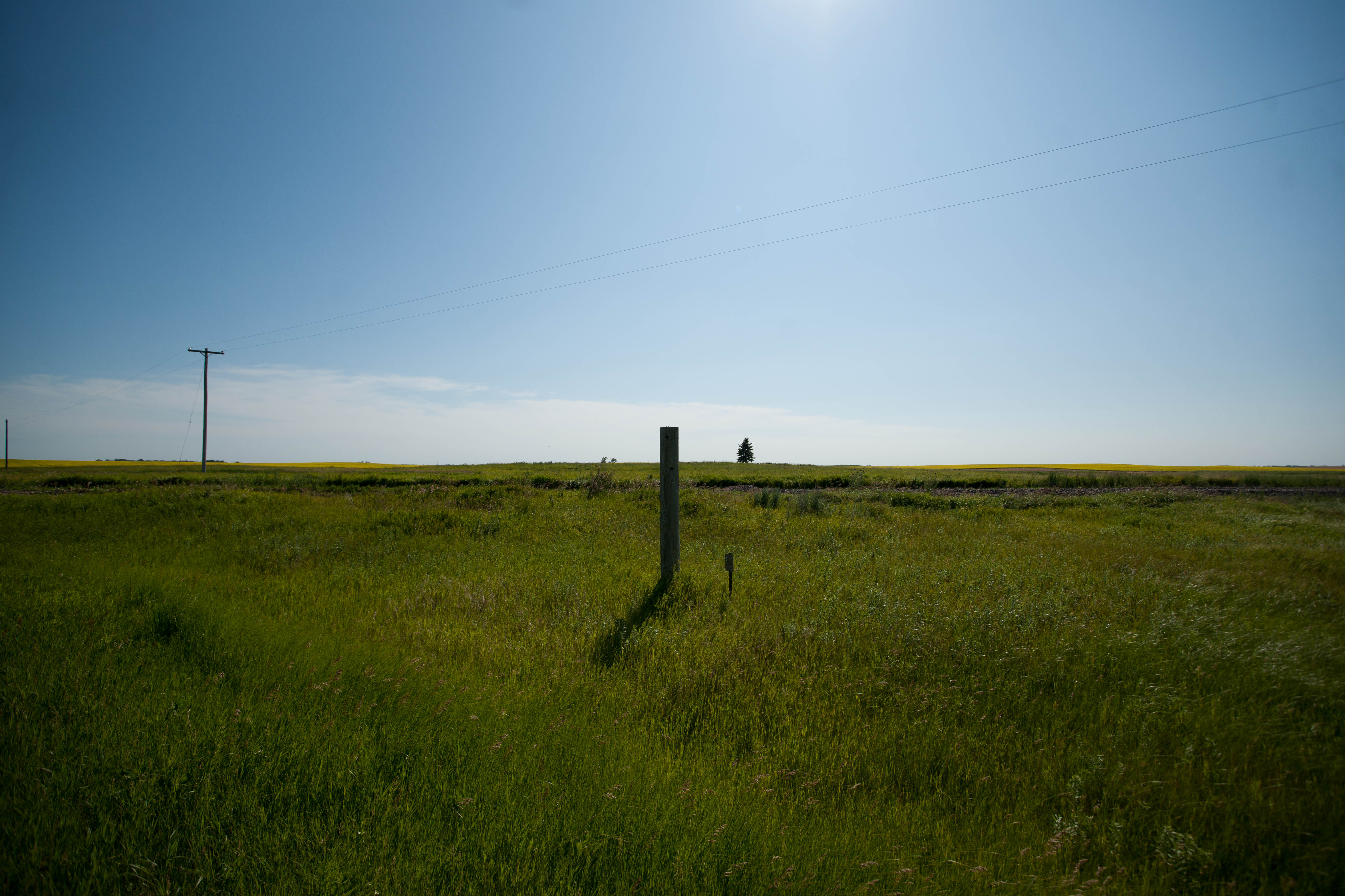
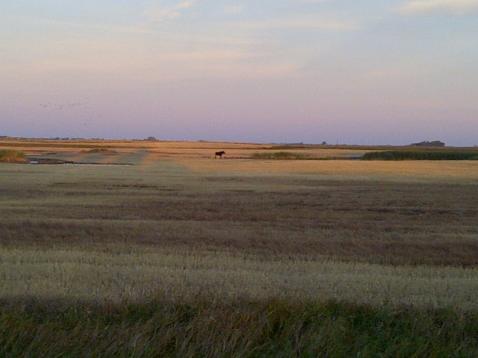
Beyond the slough

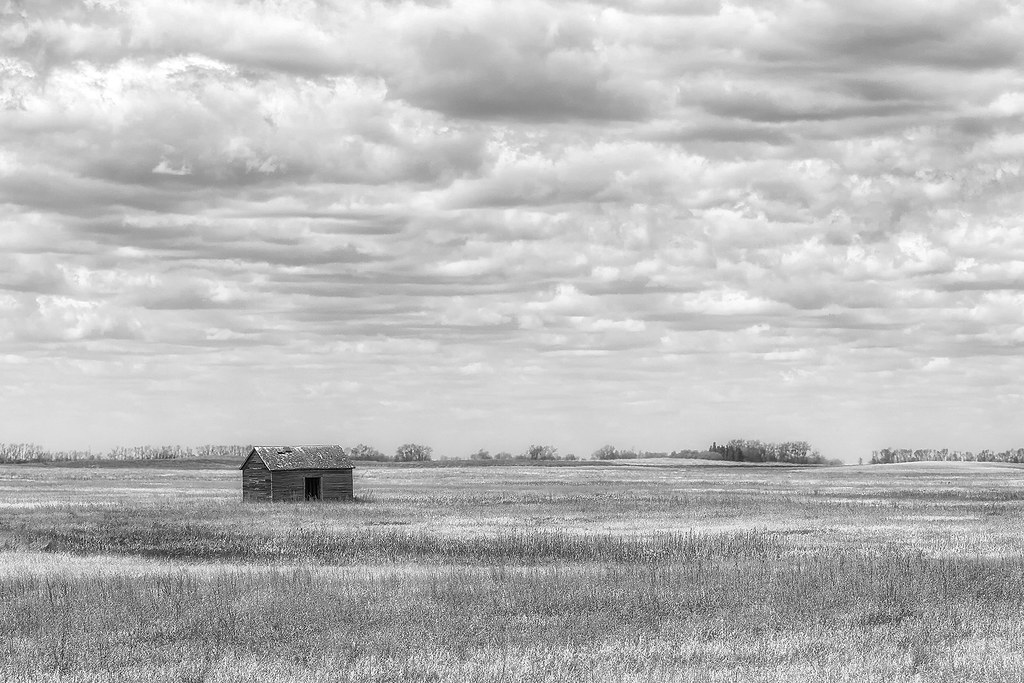
Once a barn

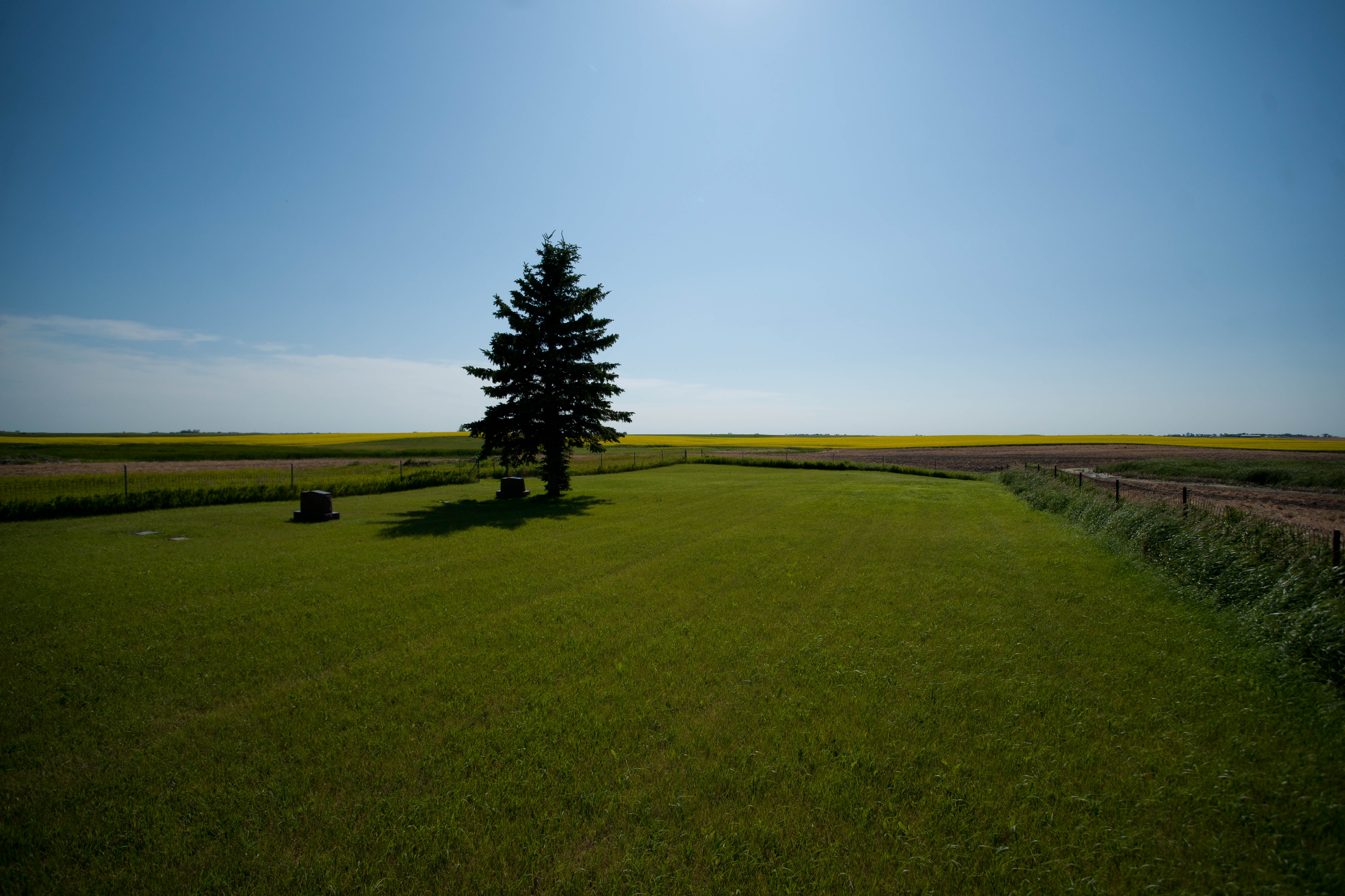
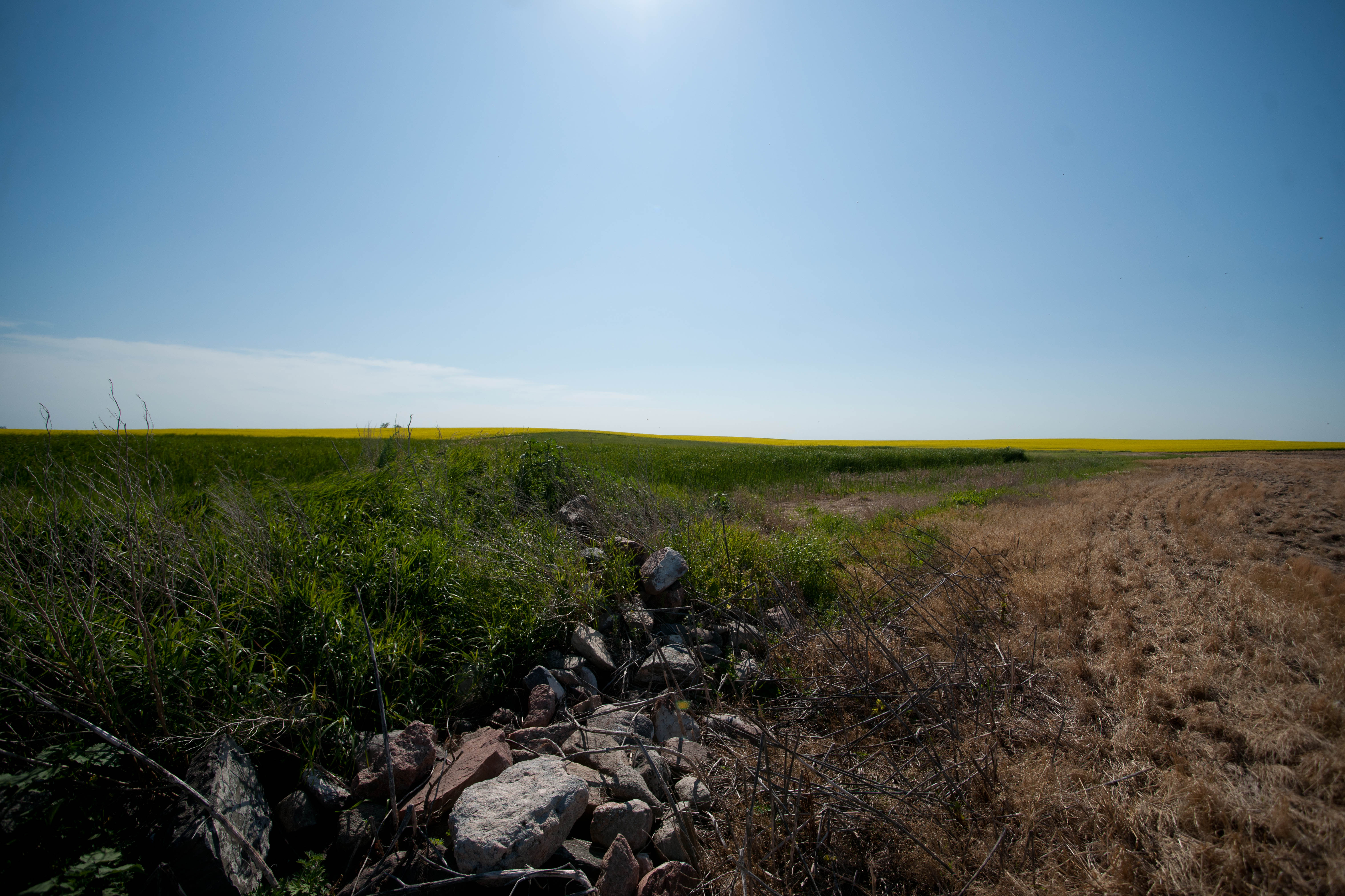
Treasures on the Prairie

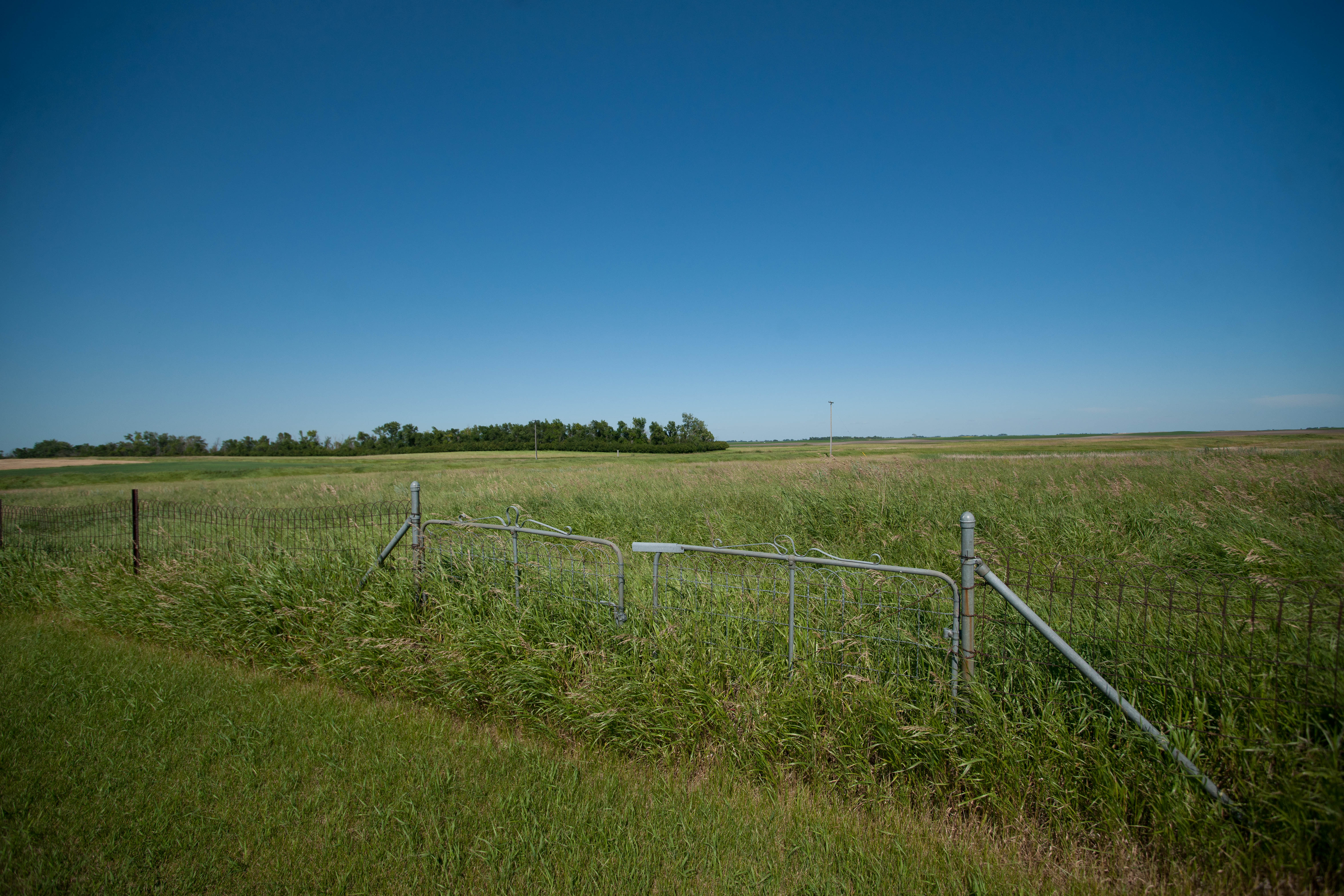
Once a Home

Decaying Dwelling

A Silent Majority

Once a barn (view 2)

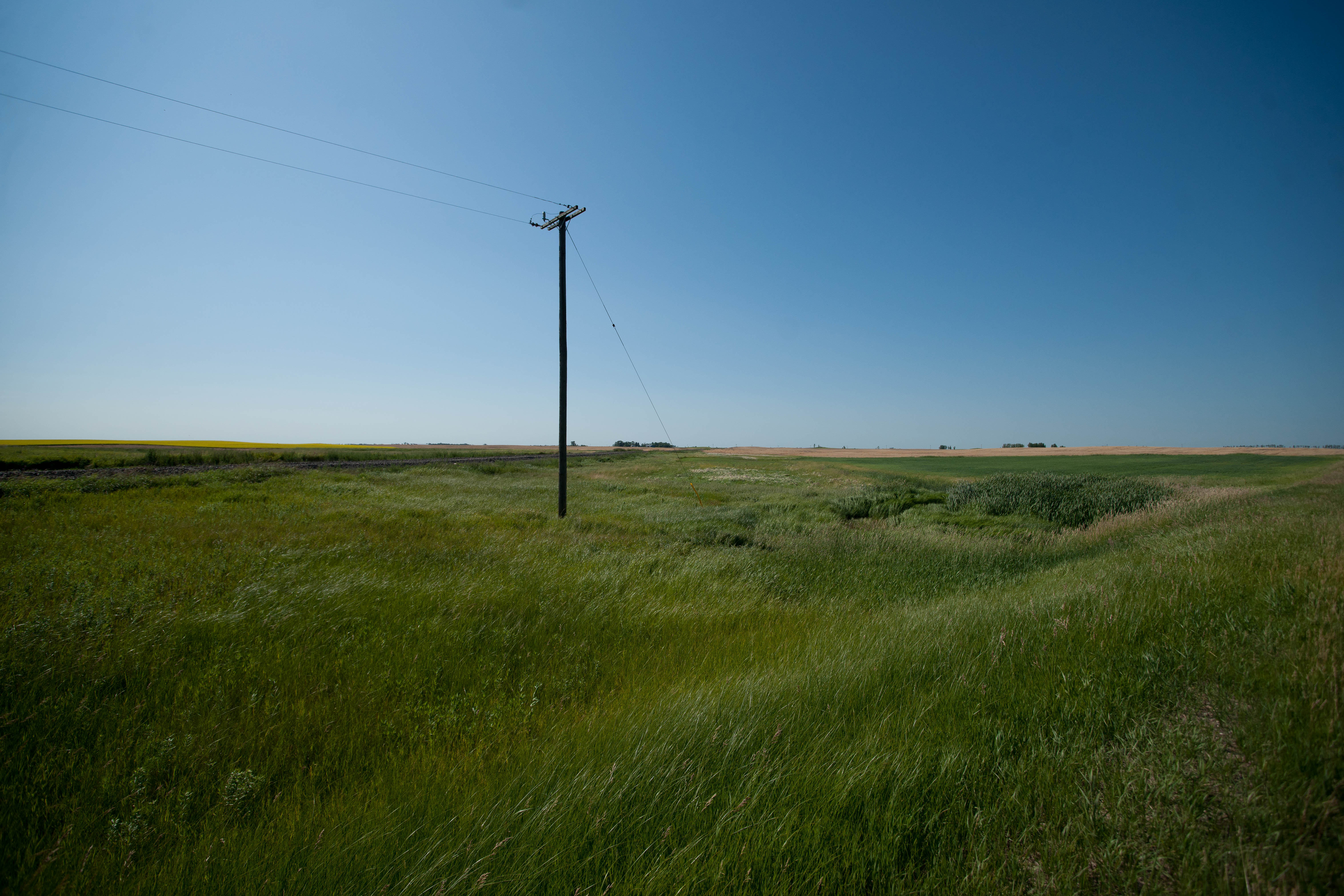
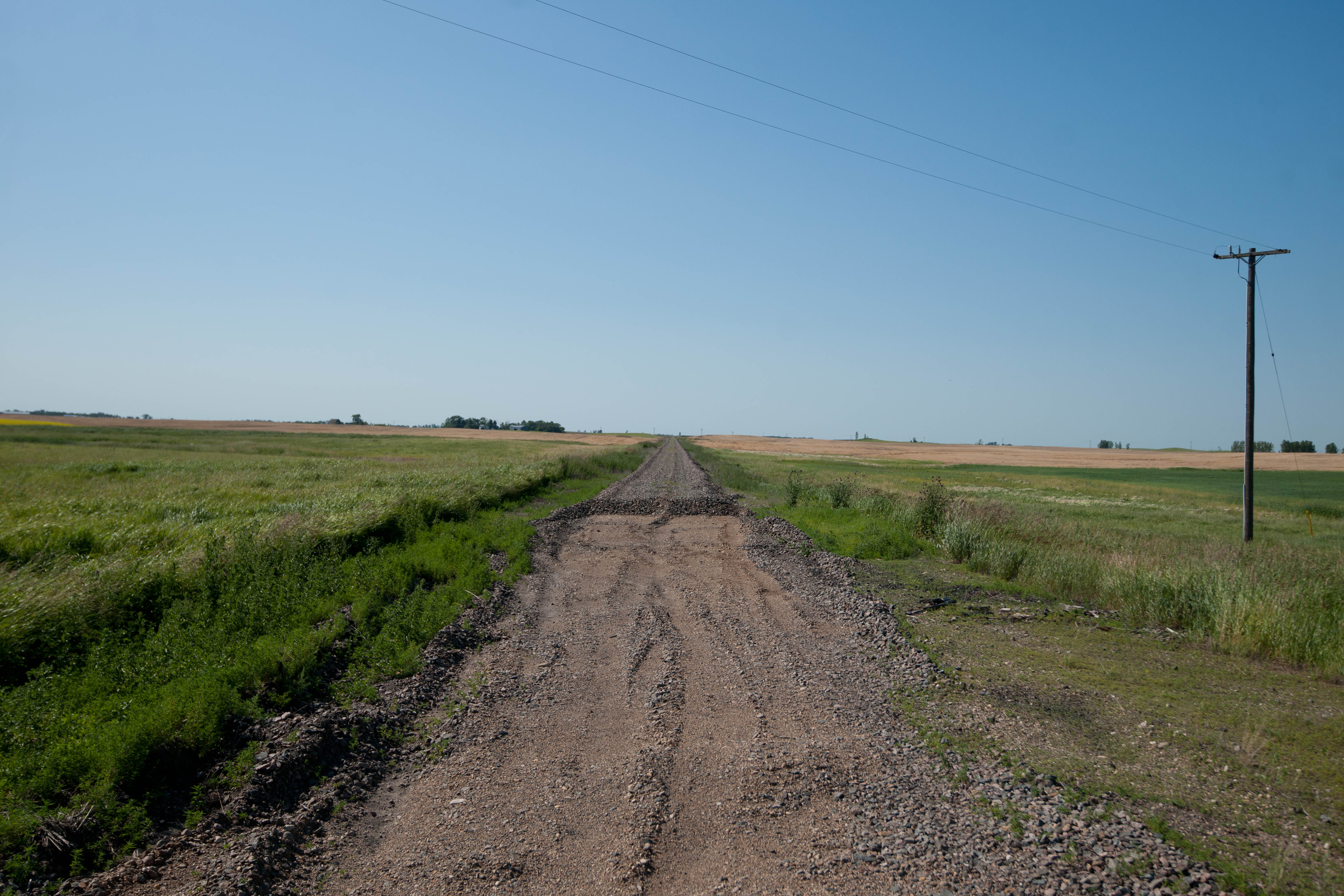
A Westward View
Derrick, North Dakota
Derrick, North Dakota
Once Upon
Derrick, North Dakota

An Increasing Emptiness
Derrick, North Dakota
Derrick, North Dakota
Derrick, North Dakota
Derrick, North Dakota
Derrick, North Dakota
Derrick, North Dakota
Derrick, North Dakota
24/365 9.24.11
Topographic Map of Main St, Edmore, ND, USA
Find elevation by address:

Places near Main St, Edmore, ND, USA:
Edmore
Fancher
9779 Nd-17
Ramsey County
Cavalier County
5th St NE, Devils Lake, ND, USA
Devils Lake
Dakota Manor Apartments
Dry Lake
5605 74th Ave Ne
Brown Acres
Byron
Calvin
10 Provincial Rd, Darlingford, MB R0G 0L0, Canada
Churchs Ferry
Cando
Pembina
Maza, ND, USA
Louise
26 Ellsberry Ave, Rocklake, ND, USA
Recent Searches:
- Elevation of Corso Fratelli Cairoli, 35, Macerata MC, Italy
- Elevation of Tallevast Rd, Sarasota, FL, USA
- Elevation of 4th St E, Sonoma, CA, USA
- Elevation of Black Hollow Rd, Pennsdale, PA, USA
- Elevation of Oakland Ave, Williamsport, PA, USA
- Elevation of Pedrógão Grande, Portugal
- Elevation of Klee Dr, Martinsburg, WV, USA
- Elevation of Via Roma, Pieranica CR, Italy
- Elevation of Tavkvetili Mountain, Georgia
- Elevation of Hartfords Bluff Cir, Mt Pleasant, SC, USA