Elevation of Cando, ND, USA
Location: United States > North Dakota > Towner County >
Longitude: -99.209859
Latitude: 48.4866681
Elevation: 451m / 1480feet
Barometric Pressure: 96KPa
Elevation Map:
Satellite Map:
Related Photos:
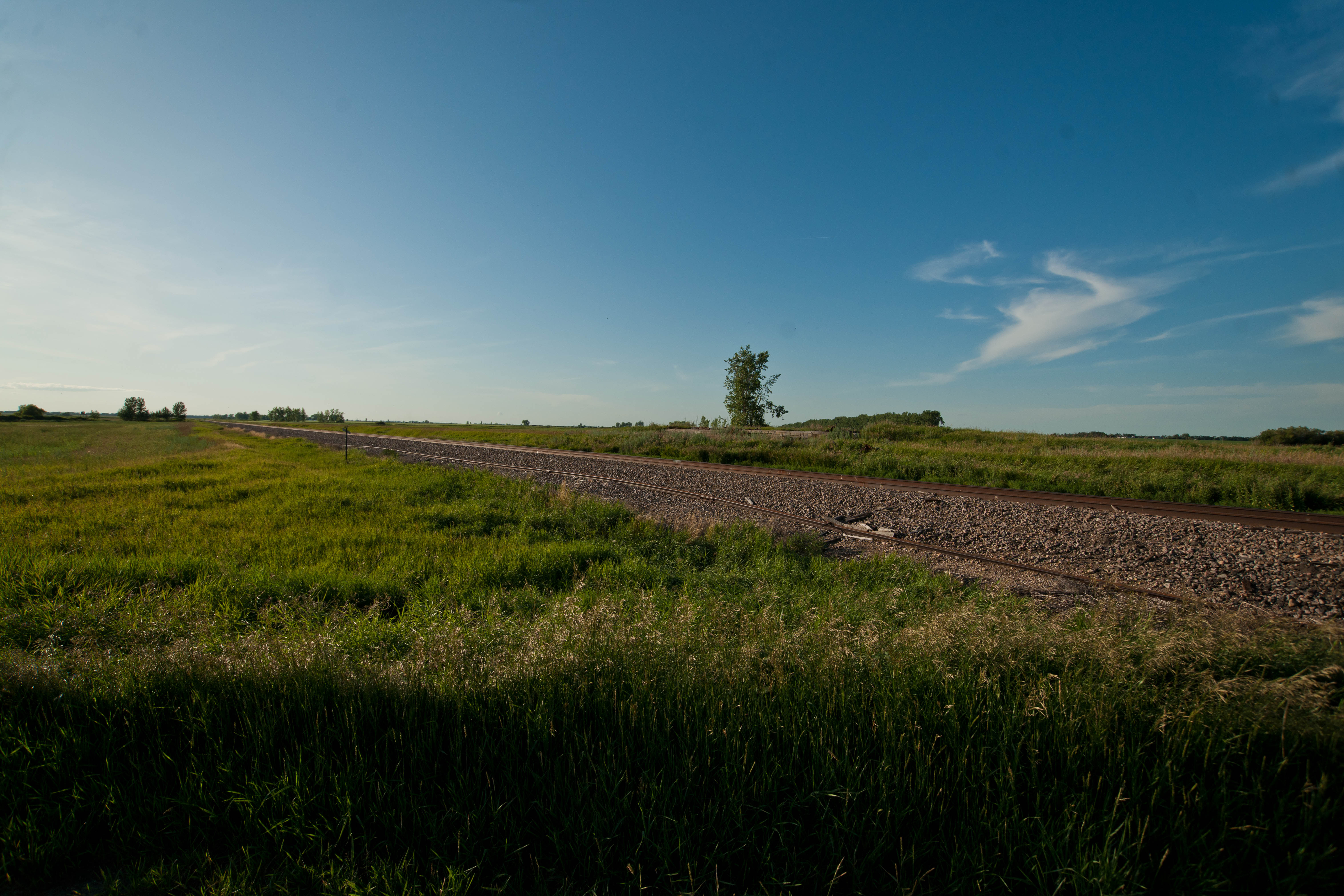
Maza, North Dakota

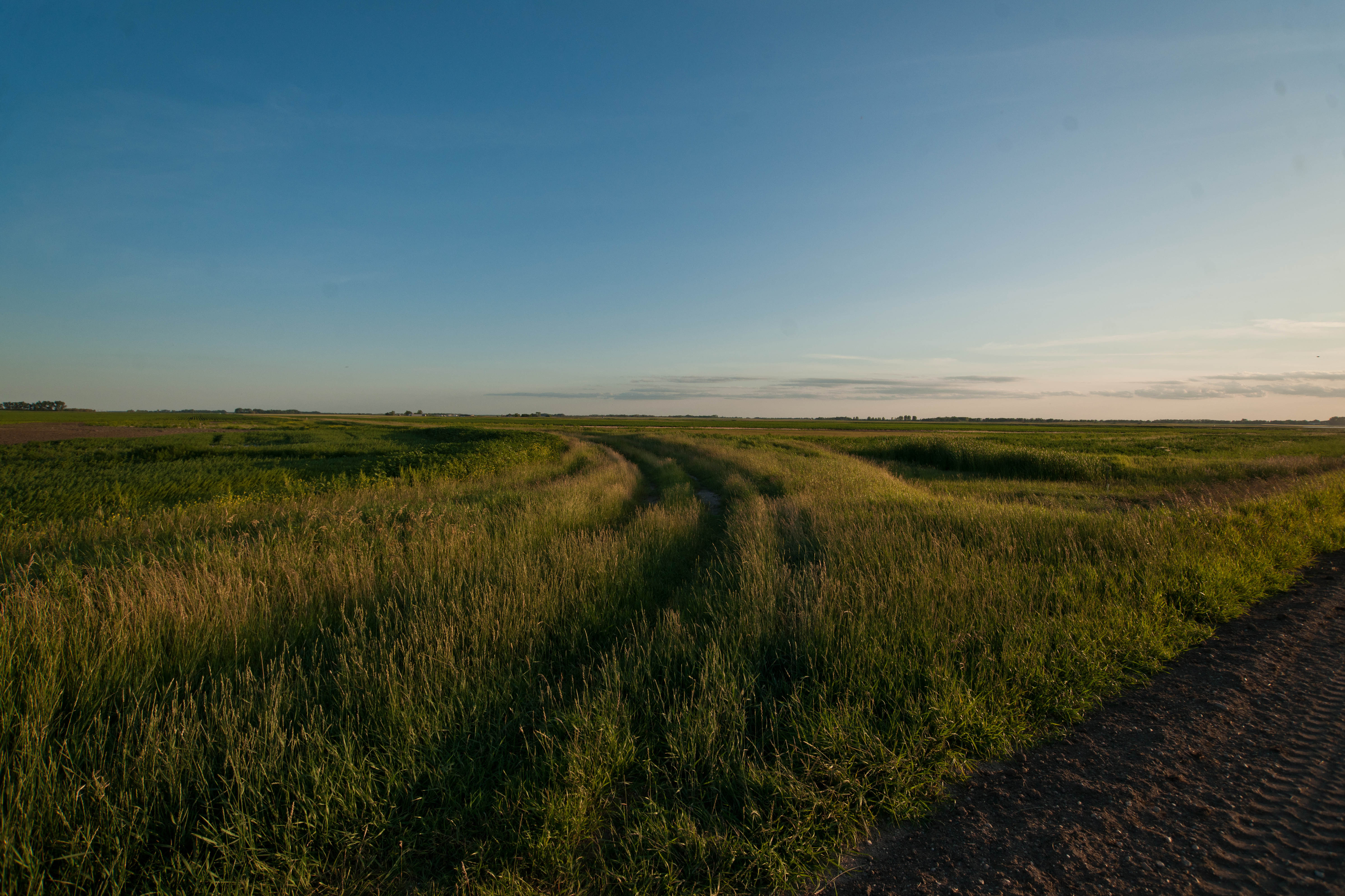
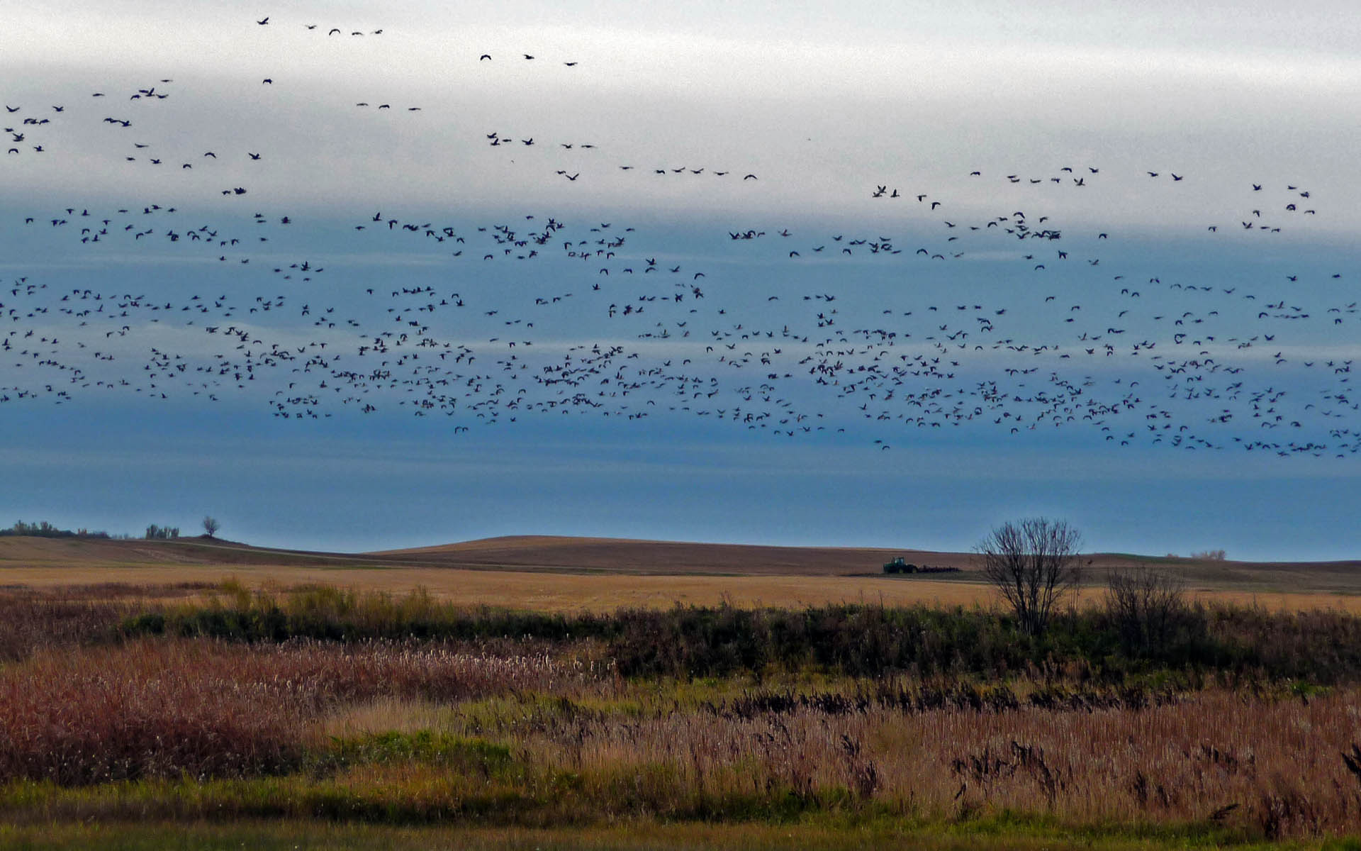
Wetlands Sunset
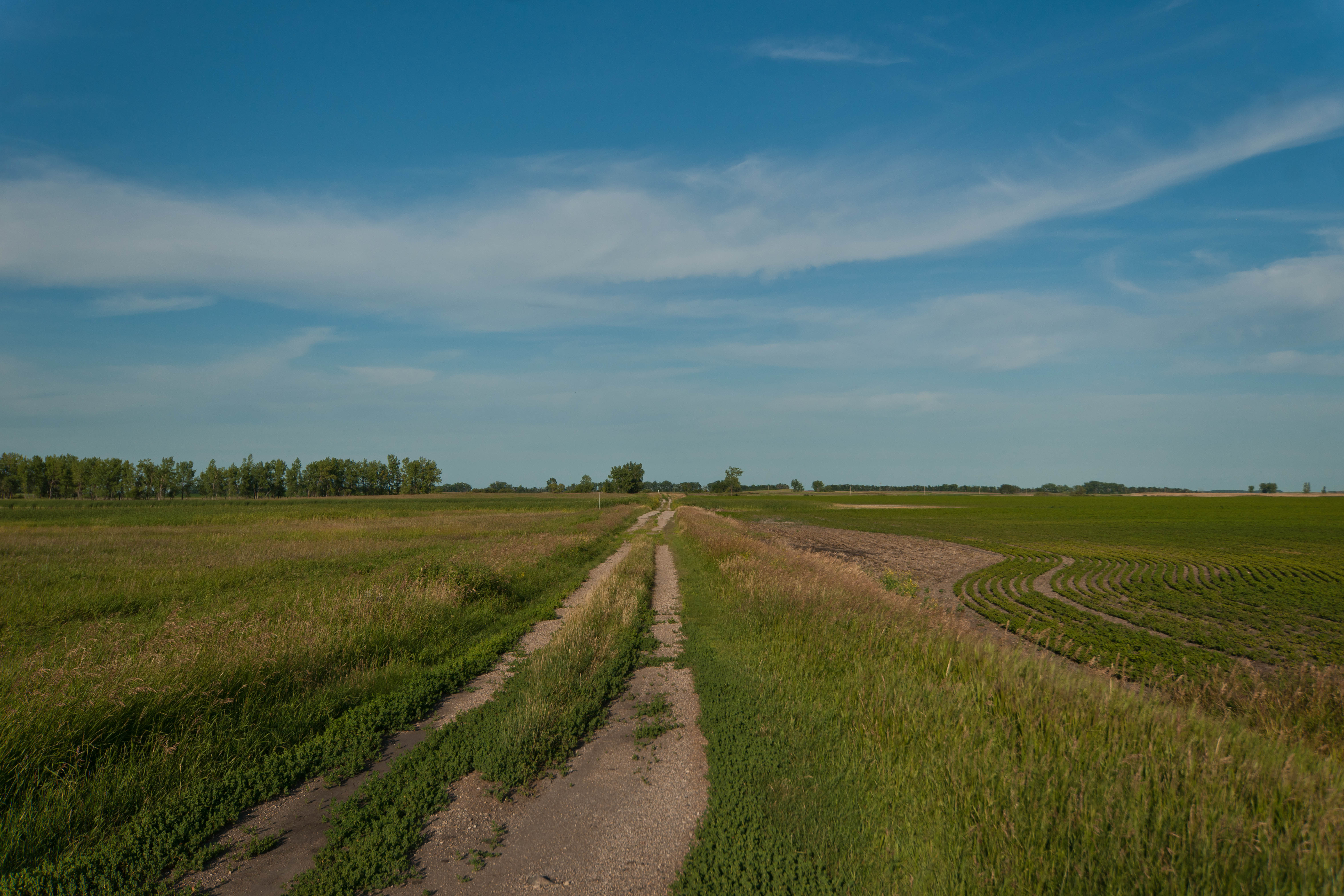
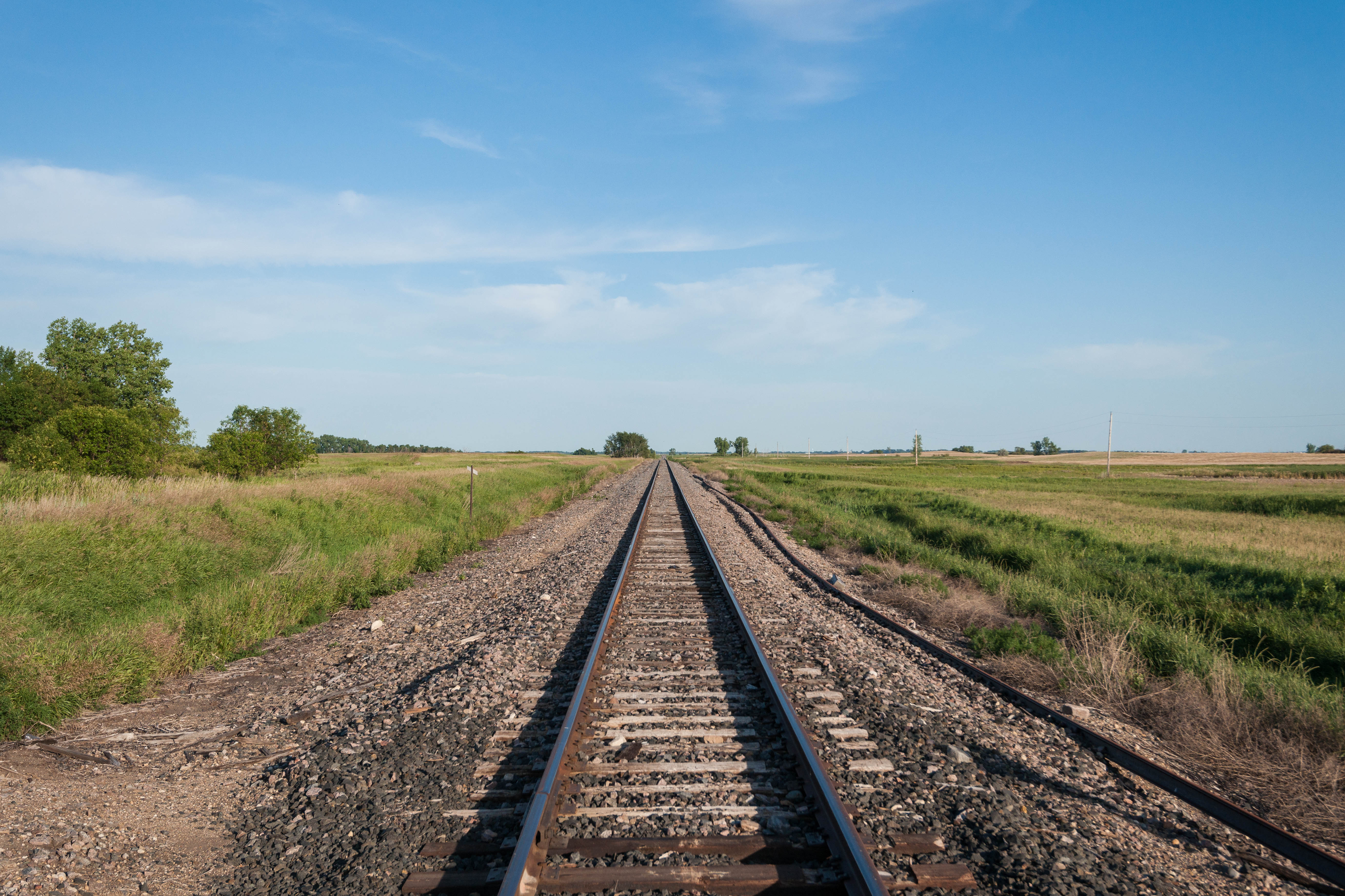
Considine, North Dakota
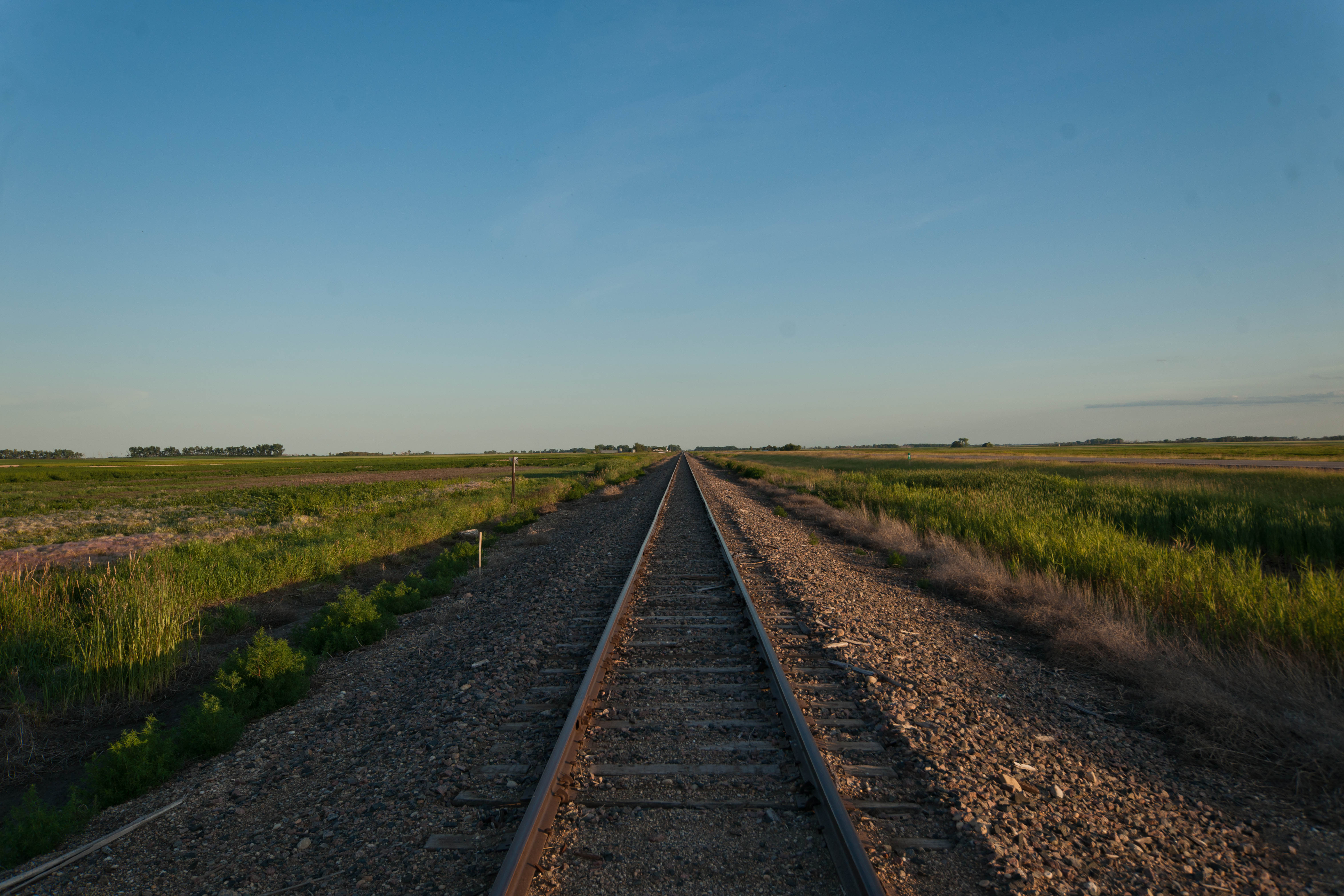
Maza, North Dakota
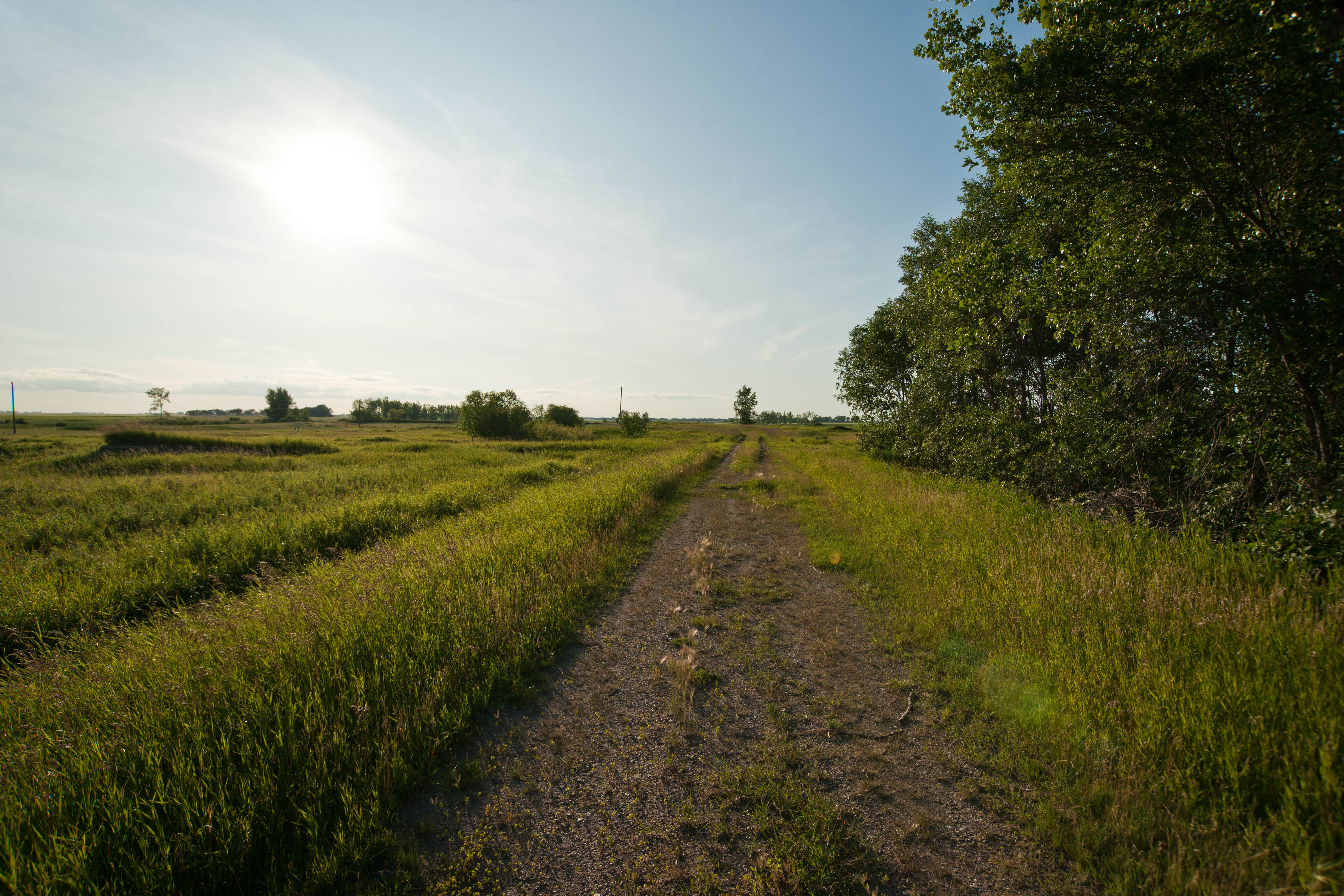
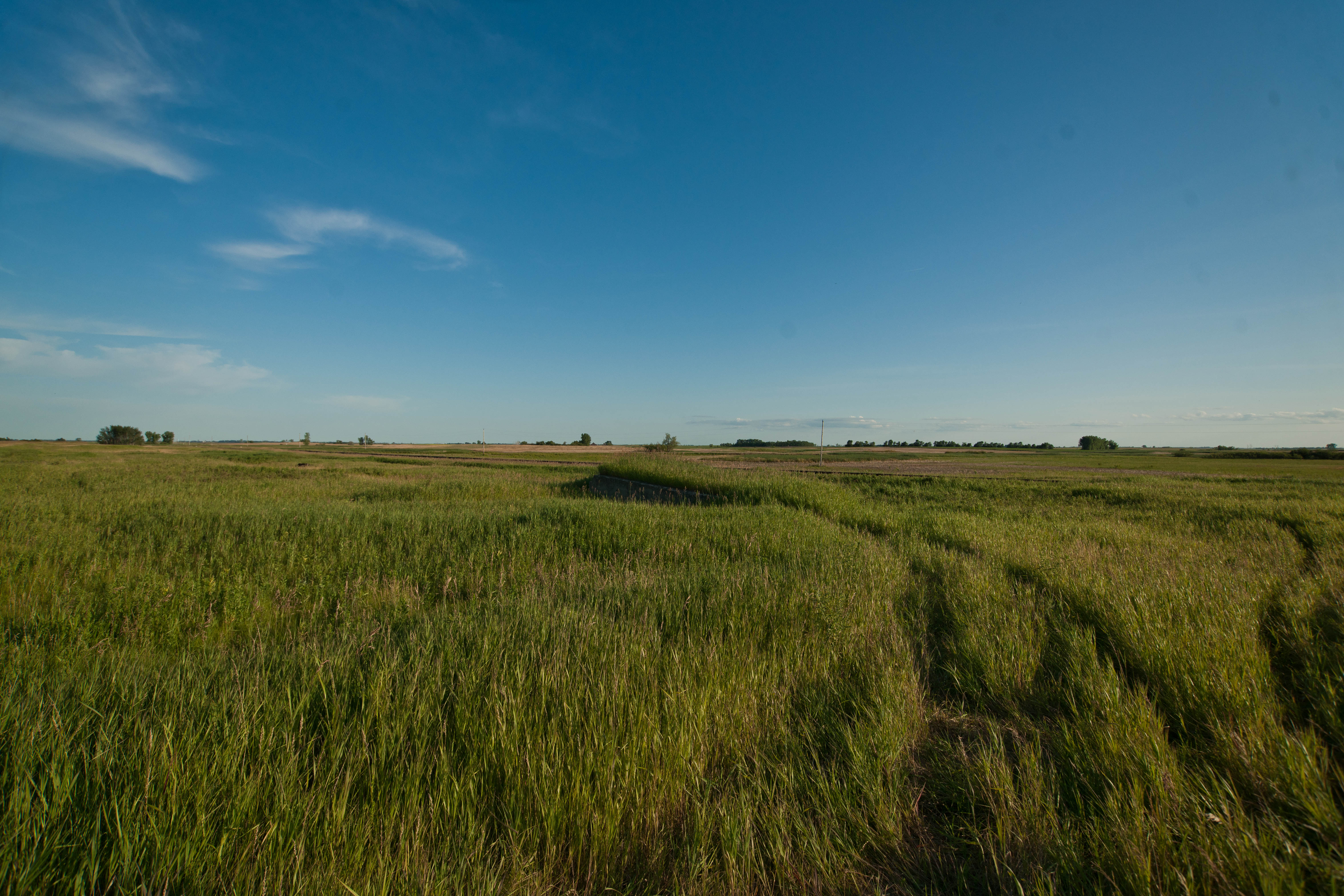
Considine, North Dakota
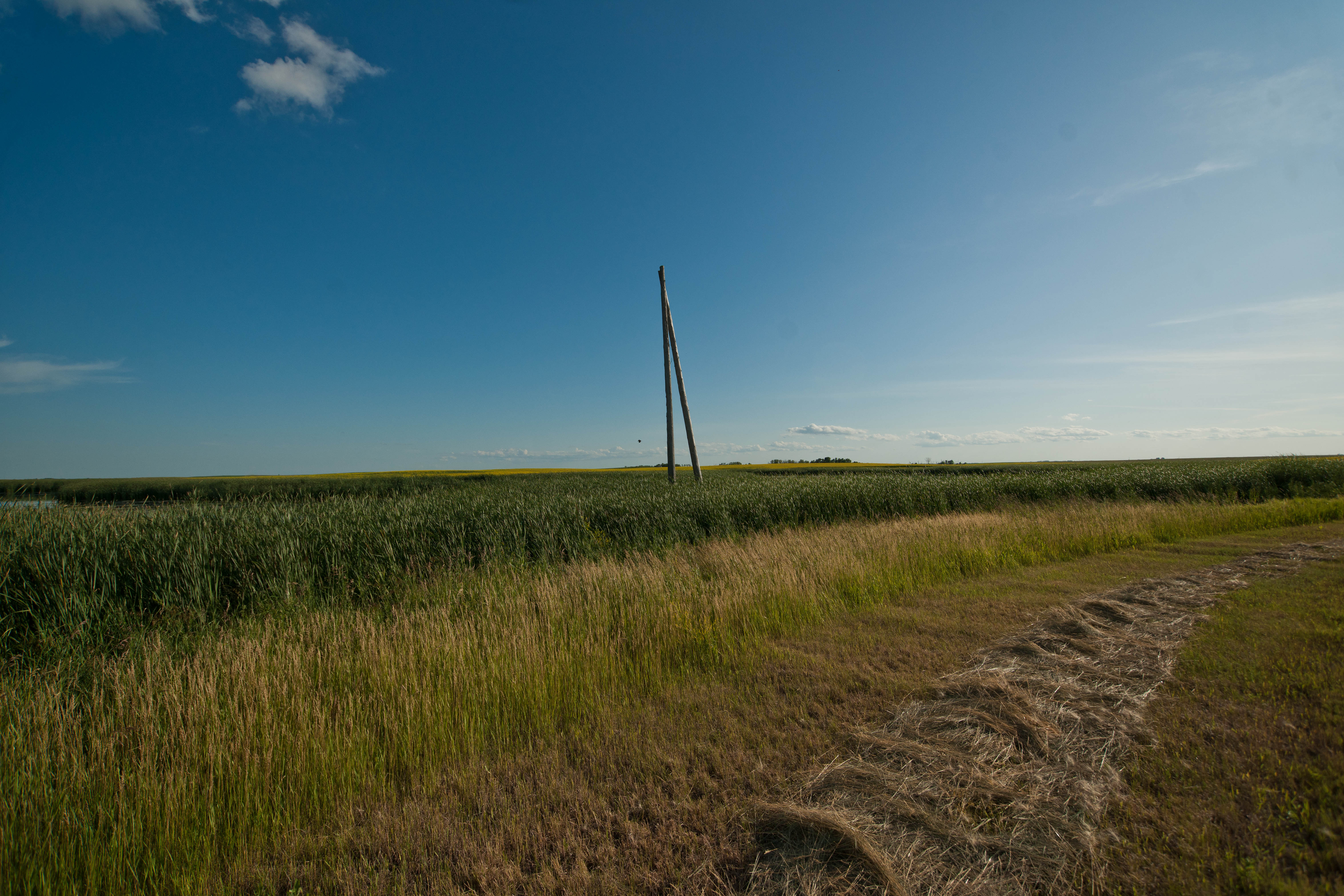
Considine, North Dakota
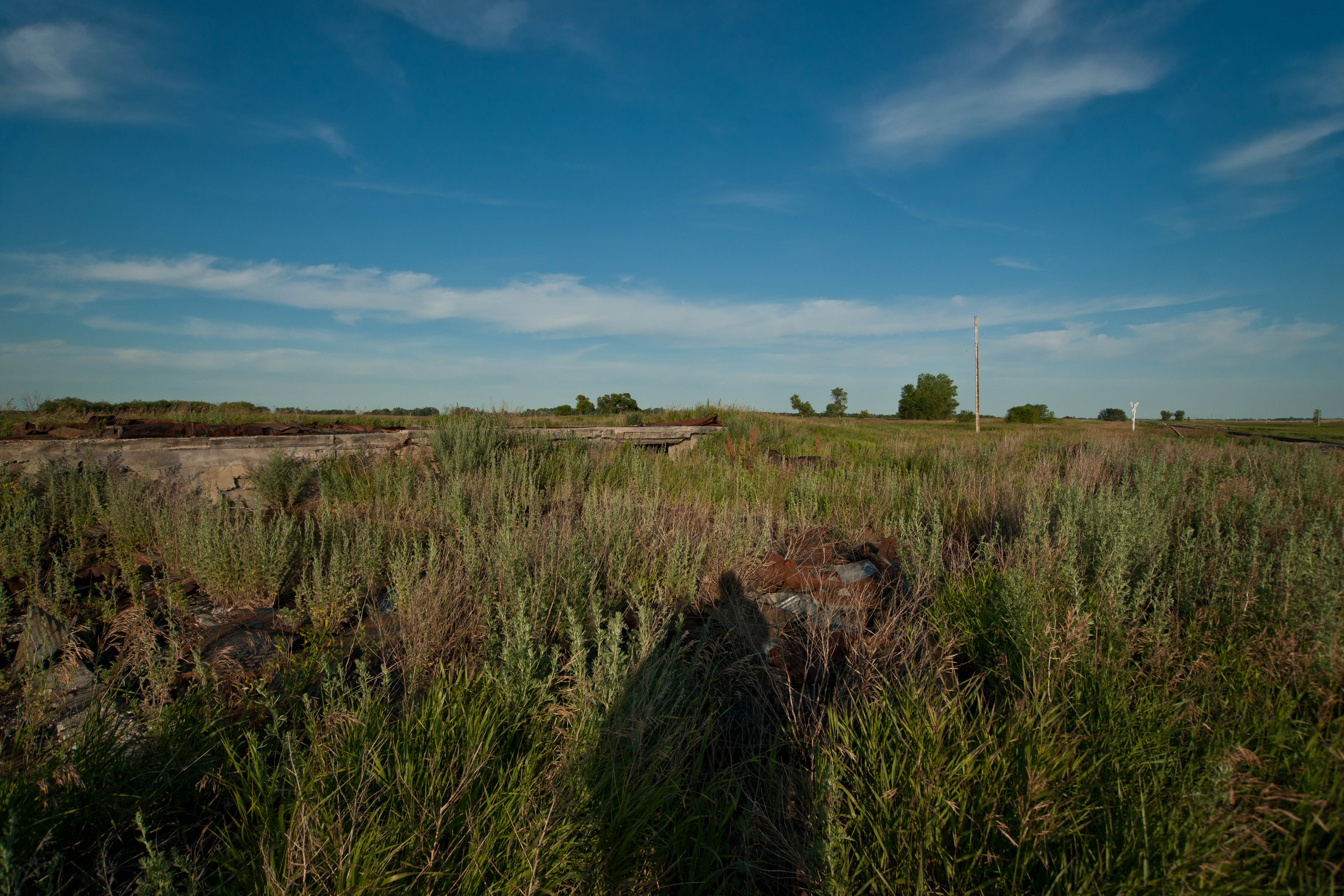
Arndt, North Dakota
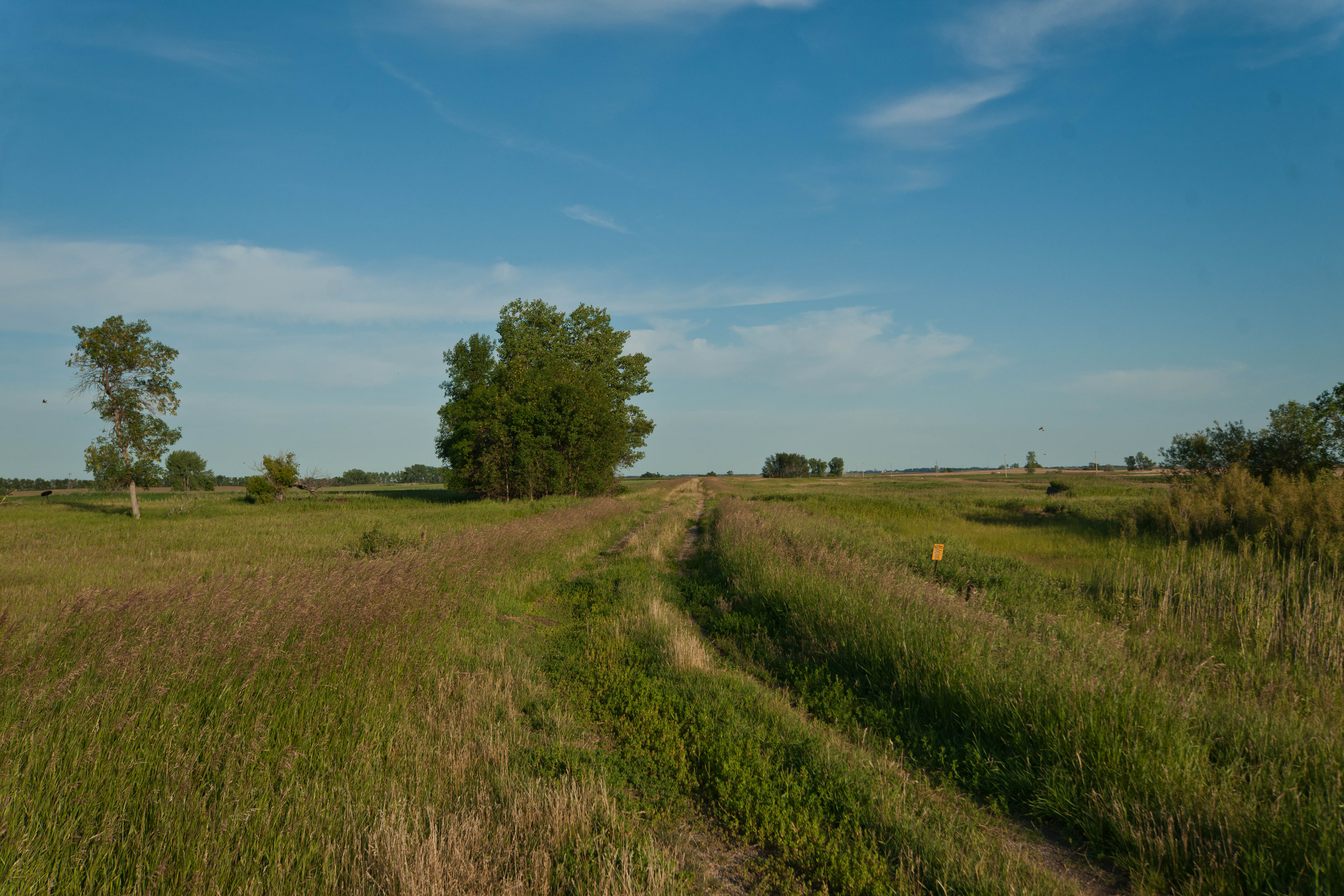
Considine, North Dakota
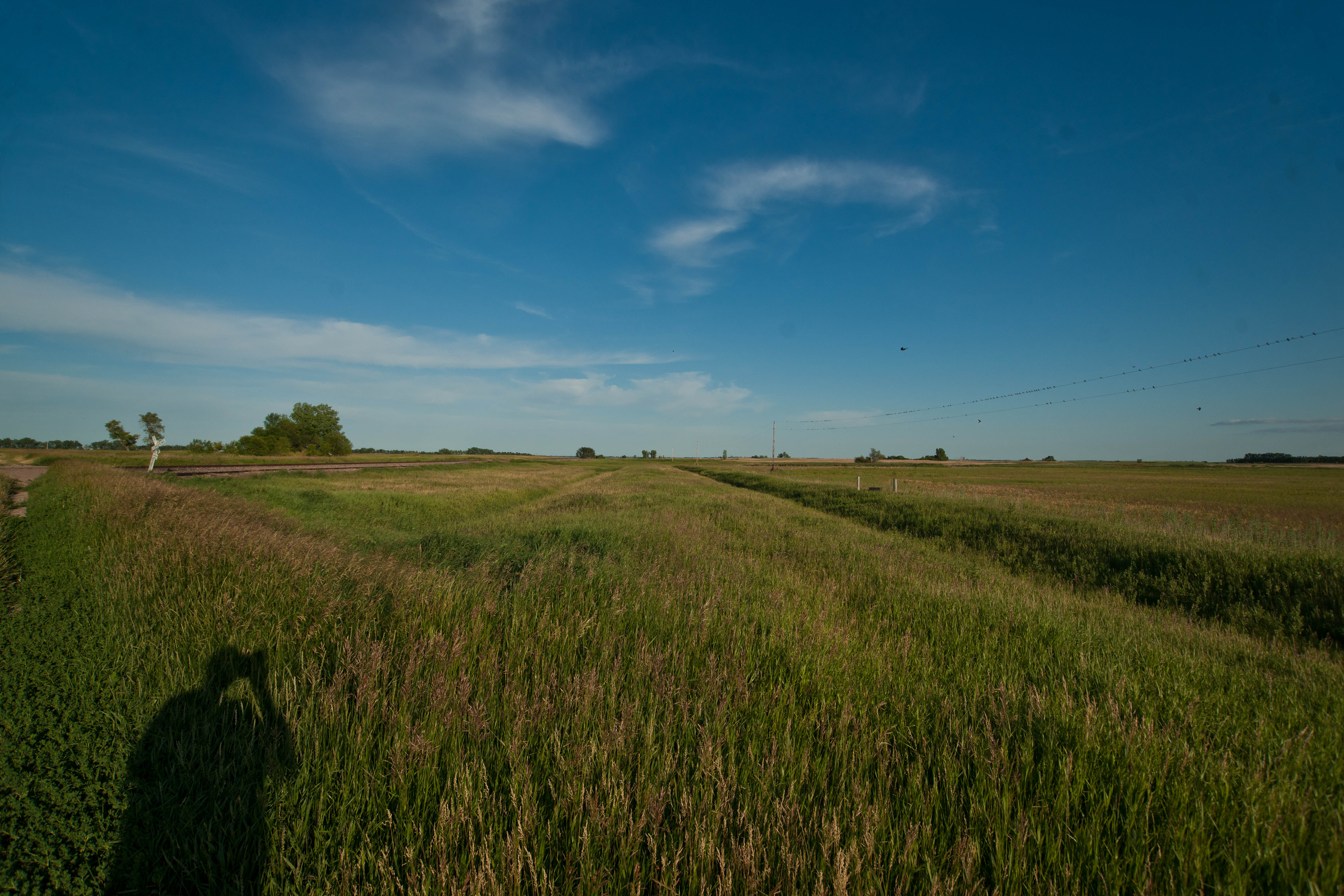
Considine, North Dakota
Considine, North Dakota
Fall in North Dakota.
Considine, North Dakota
Considine, North Dakota
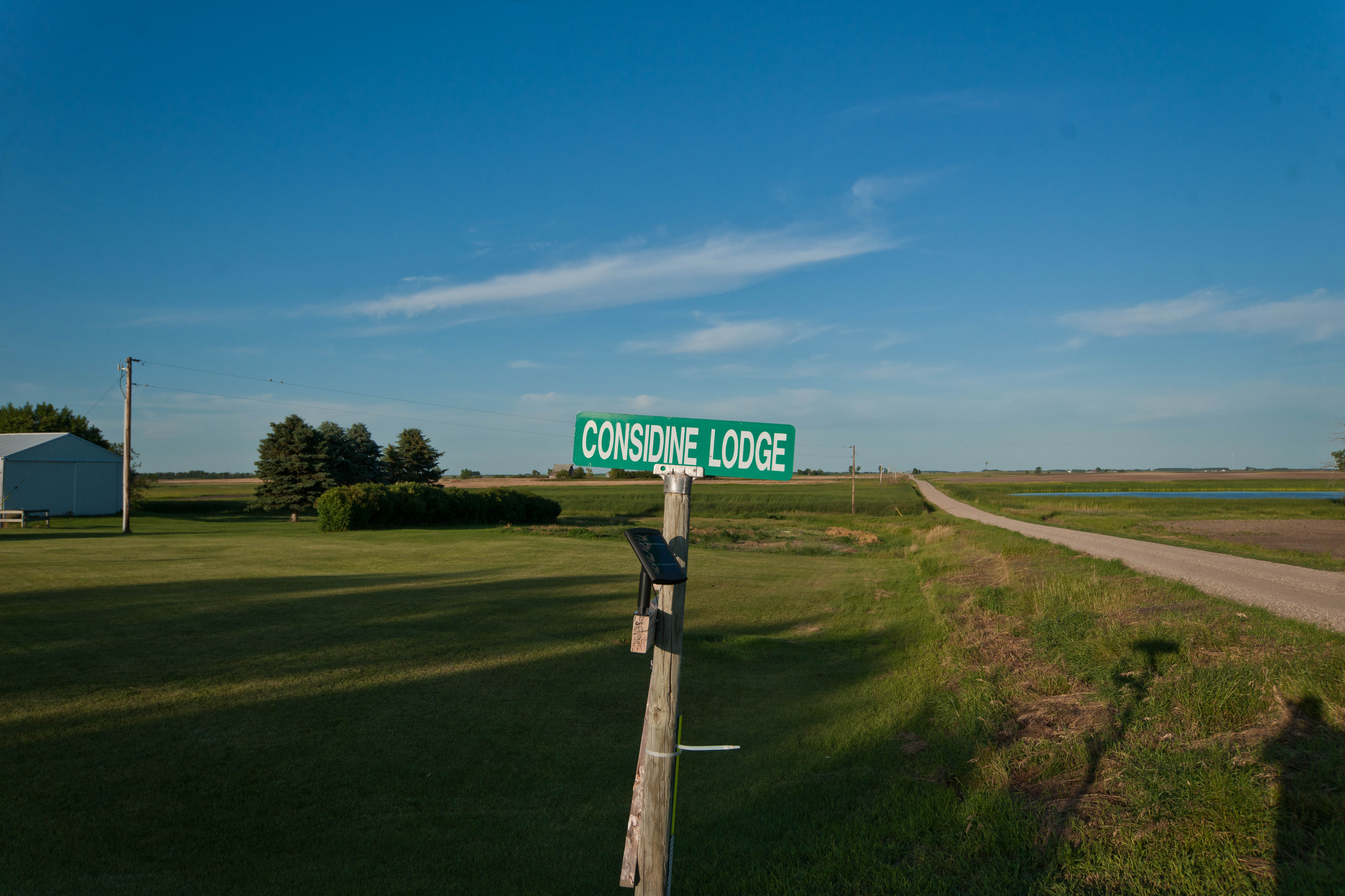
Considine, North Dakota
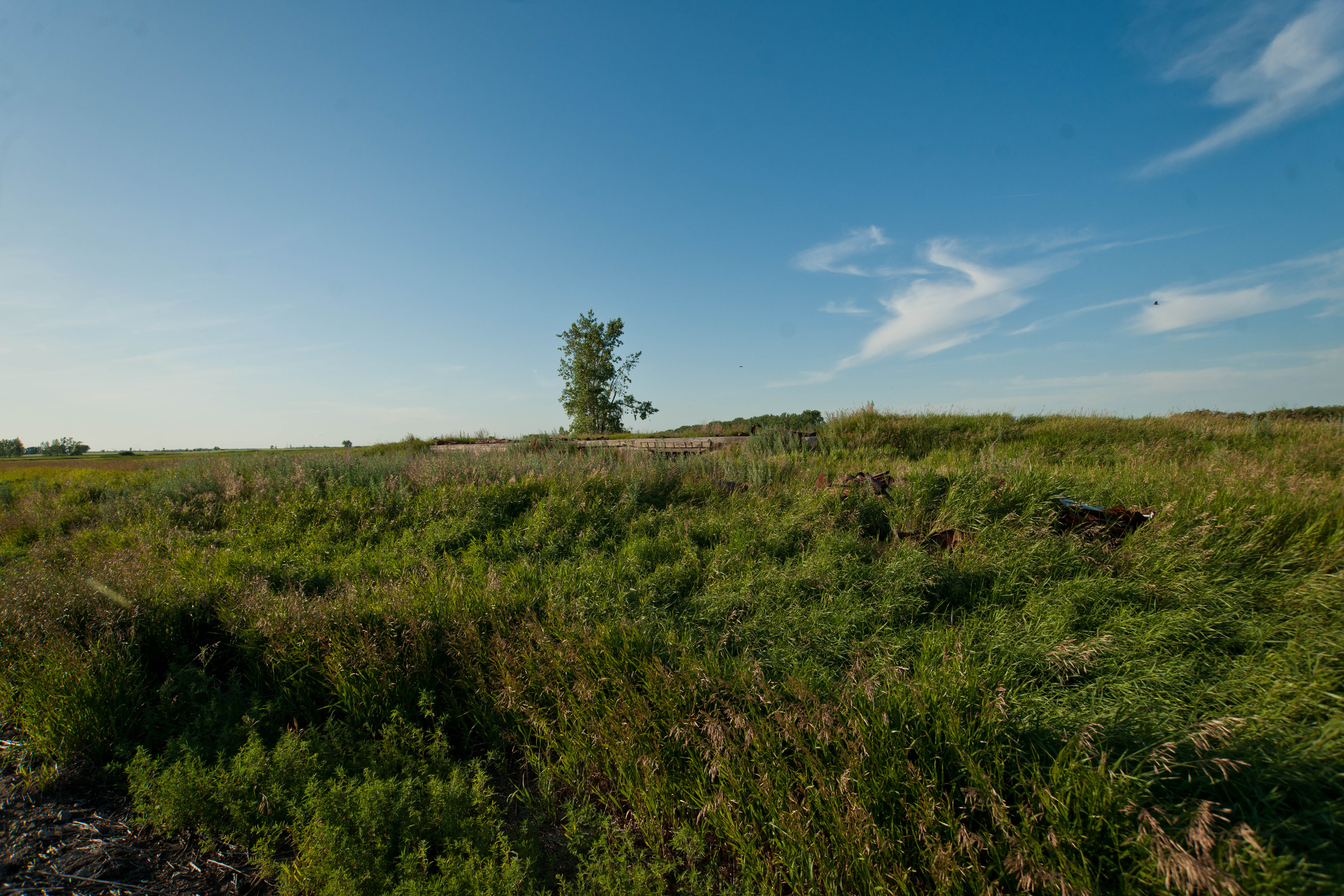
Considine, North Dakota
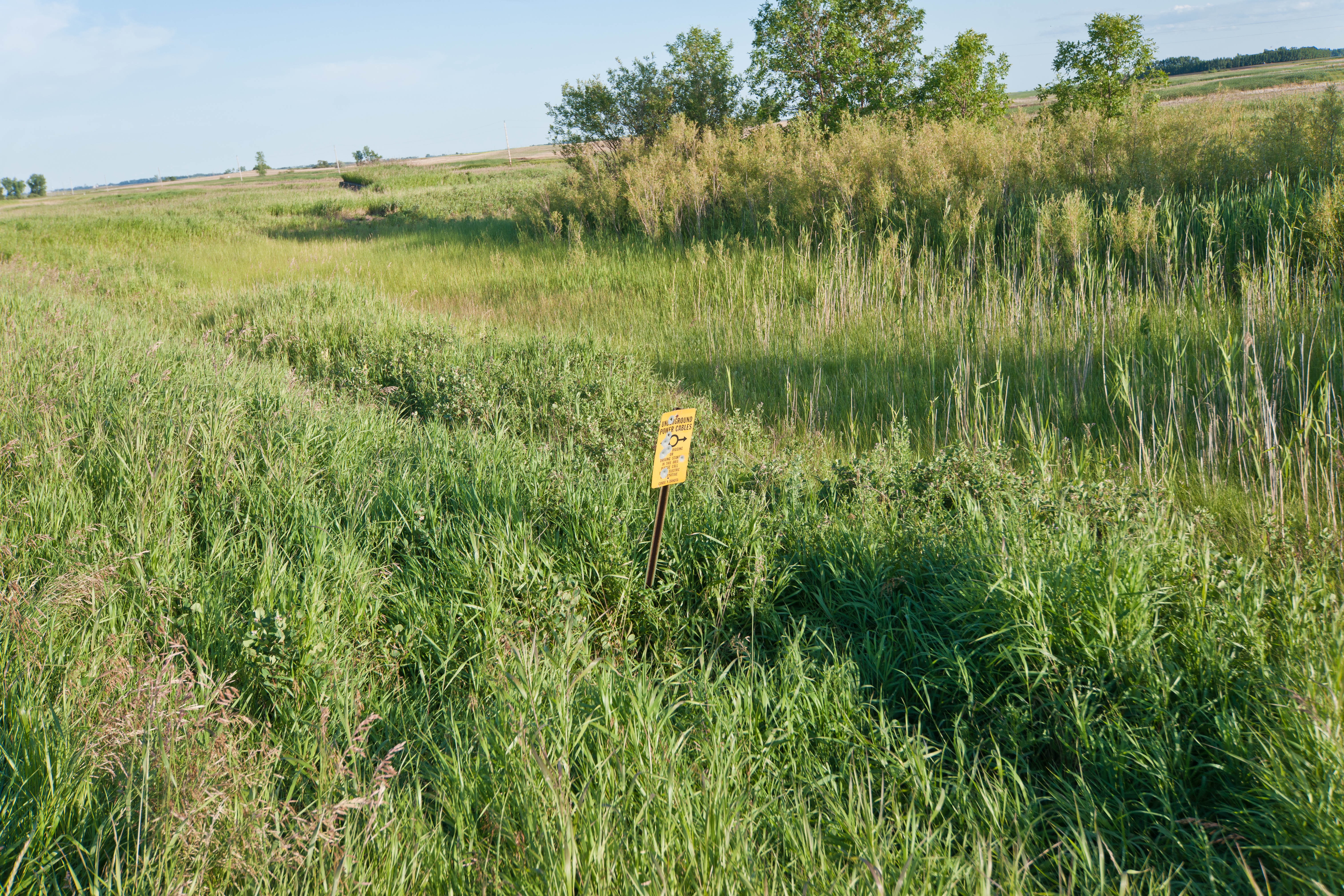
Considine, North Dakota
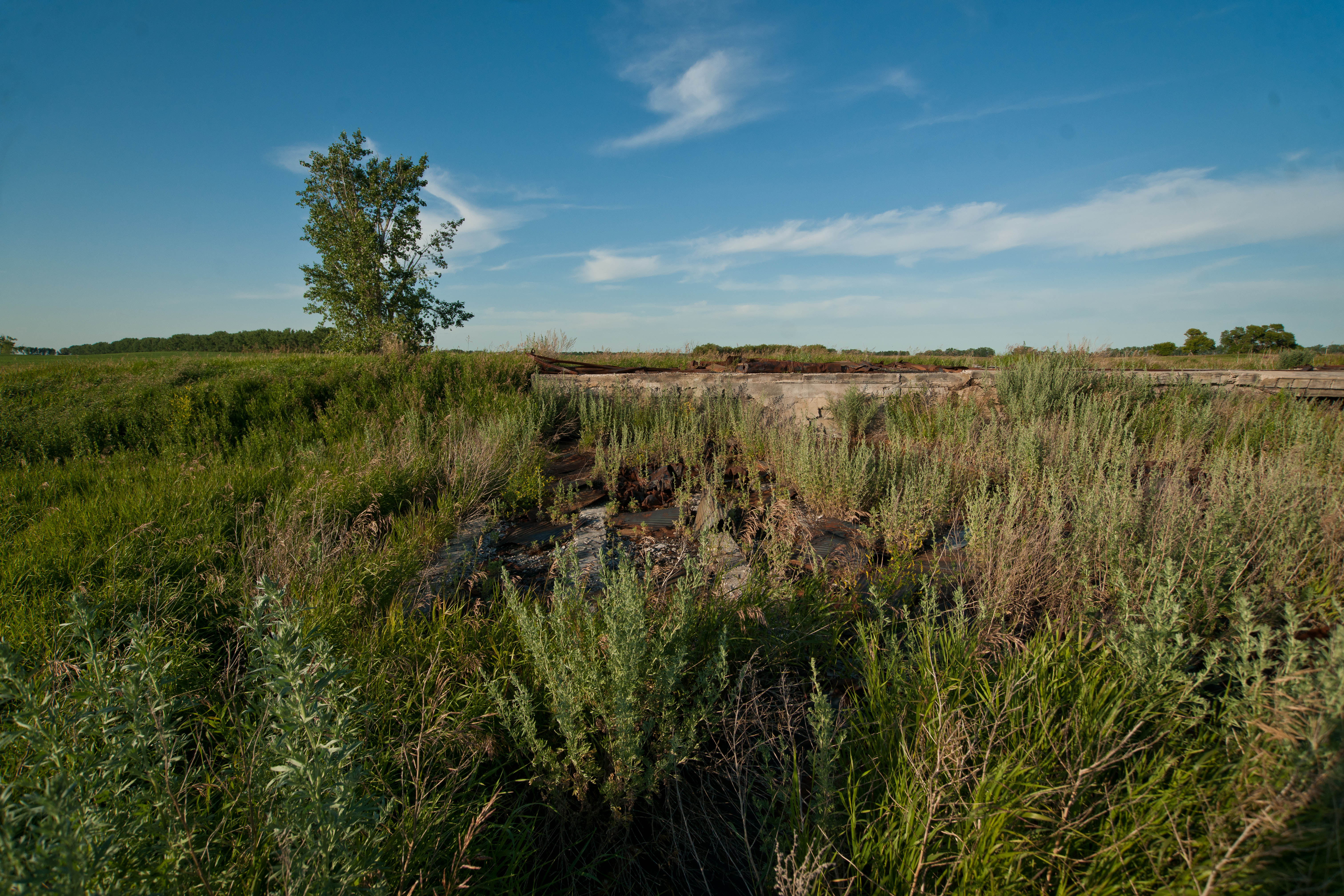
Considine, North Dakota
Topographic Map of Cando, ND, USA
Find elevation by address:

Places near Cando, ND, USA:
Maza, ND, USA
Churchs Ferry
Towner County
5605 74th Ave Ne
Rocklake
26 Ellsberry Ave, Rocklake, ND, USA
Dry Lake
Armourdale
9944 63rd Ave Ne
9944 63rd Ave Ne
9944 63rd Ave Ne
Park St, York, ND, USA
Mylo
Calvin
East Rolette
Devils Lake
Dakota Manor Apartments
5th St NE, Devils Lake, ND, USA
Ramsey County
Rolla
Recent Searches:
- Elevation of Corso Fratelli Cairoli, 35, Macerata MC, Italy
- Elevation of Tallevast Rd, Sarasota, FL, USA
- Elevation of 4th St E, Sonoma, CA, USA
- Elevation of Black Hollow Rd, Pennsdale, PA, USA
- Elevation of Oakland Ave, Williamsport, PA, USA
- Elevation of Pedrógão Grande, Portugal
- Elevation of Klee Dr, Martinsburg, WV, USA
- Elevation of Via Roma, Pieranica CR, Italy
- Elevation of Tavkvetili Mountain, Georgia
- Elevation of Hartfords Bluff Cir, Mt Pleasant, SC, USA