Elevation of 63rd Ave NE, Rocklake, ND, USA
Location: United States > North Dakota > Towner County > Armourdale >
Longitude: -99.328788
Latitude: 48.8548423
Elevation: 486m / 1594feet
Barometric Pressure: 96KPa
Elevation Map:
Satellite Map:
Related Photos:

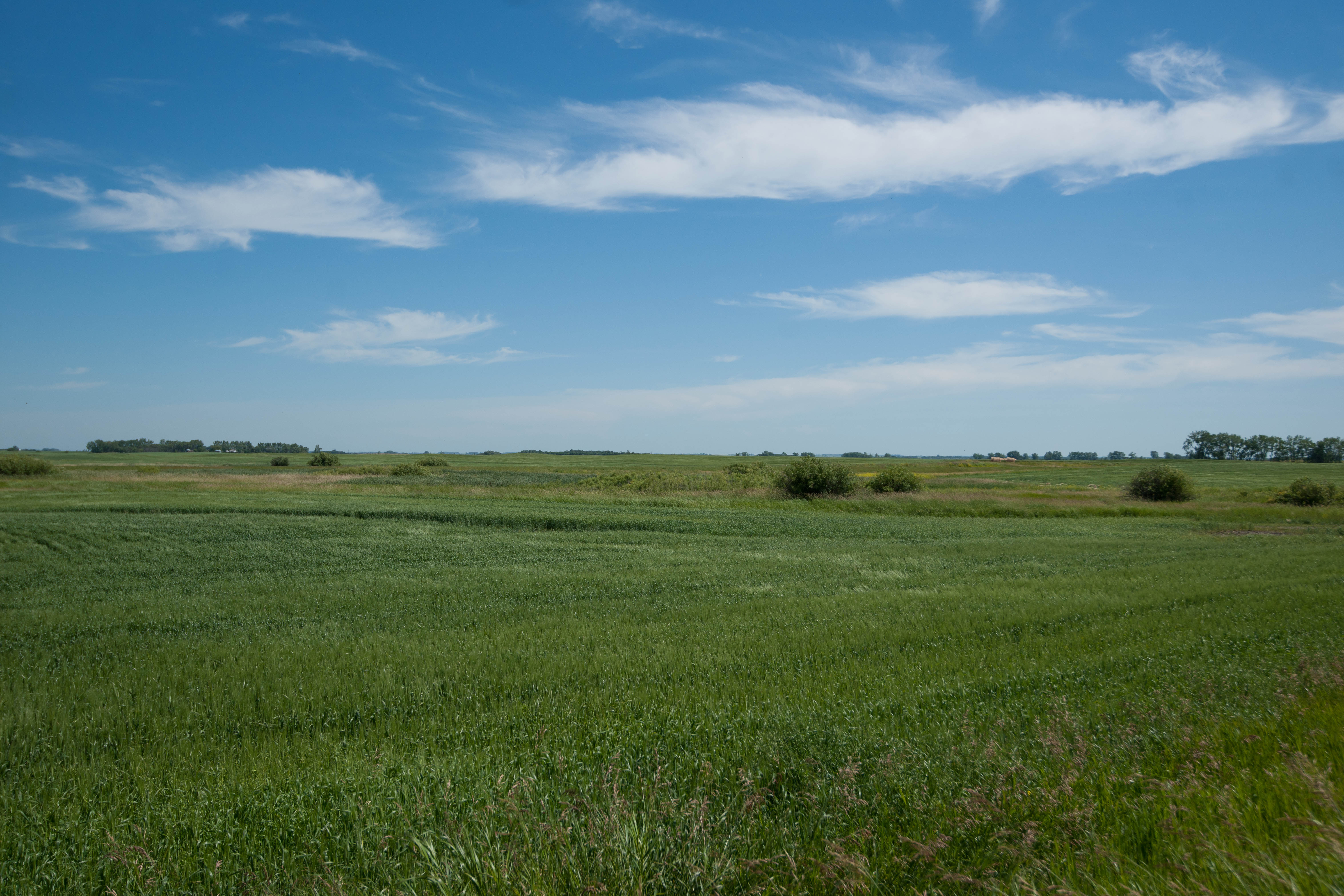
RockLake--3

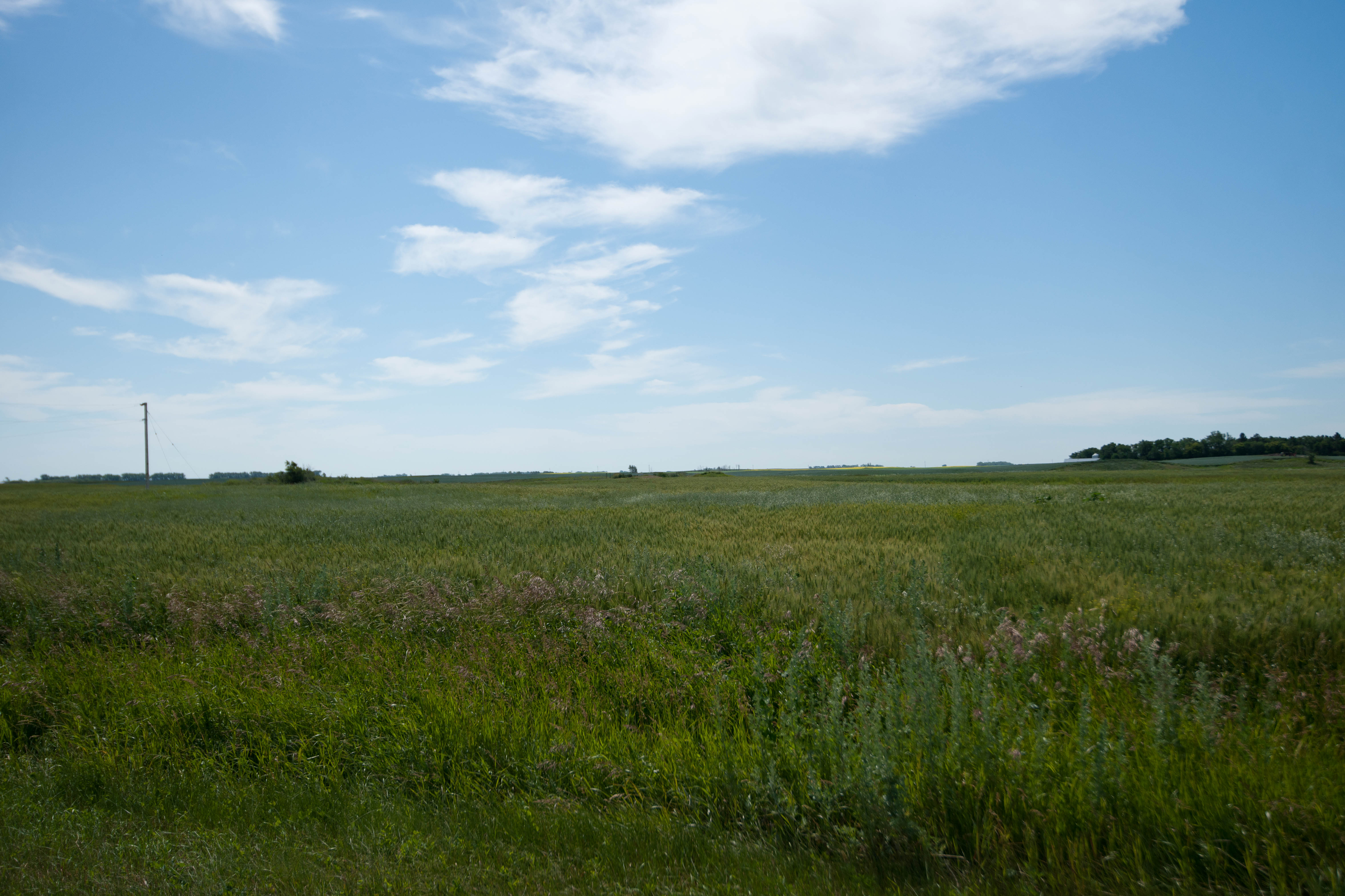
RockLake--2

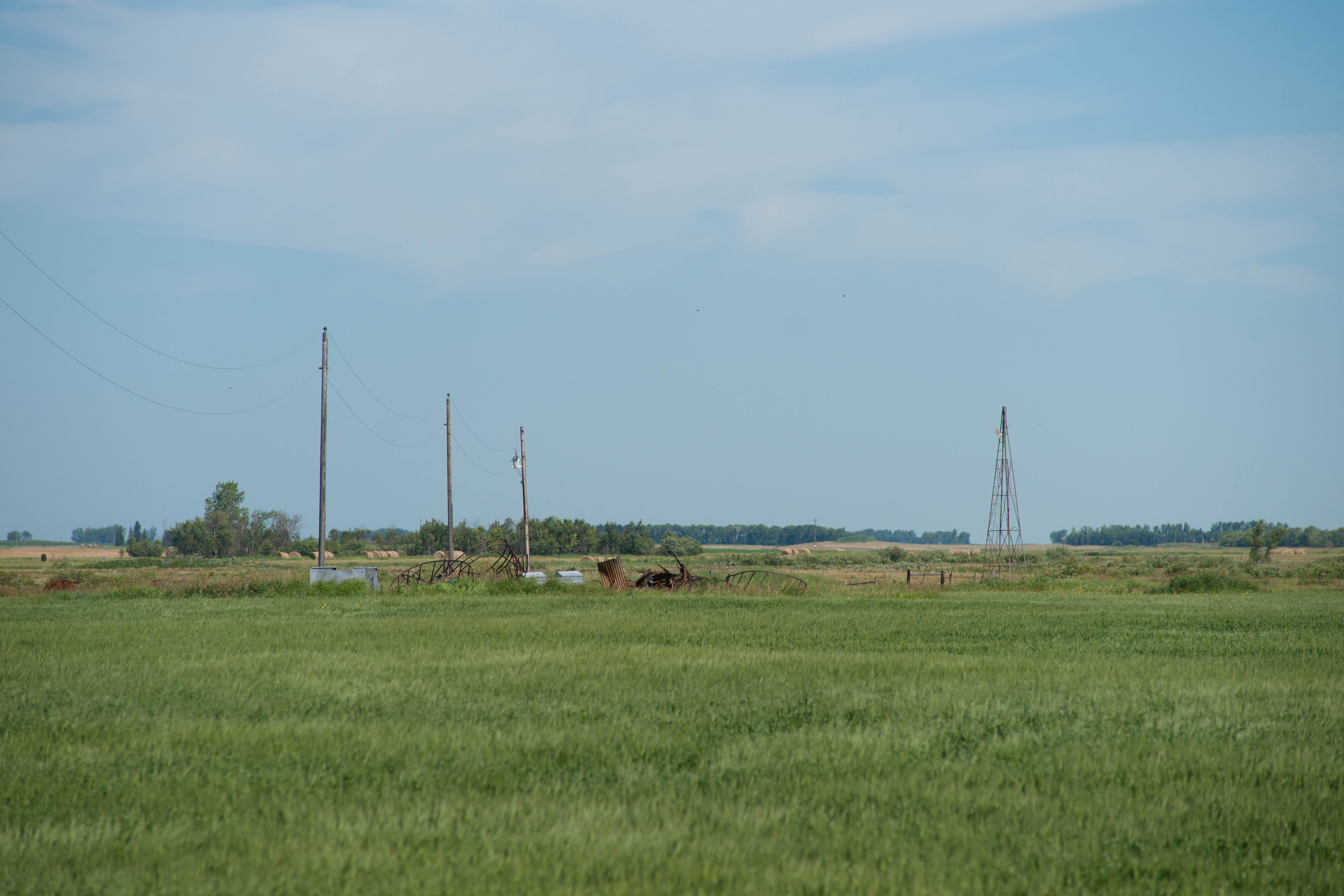
RockLake-
Pasha, North Dakota
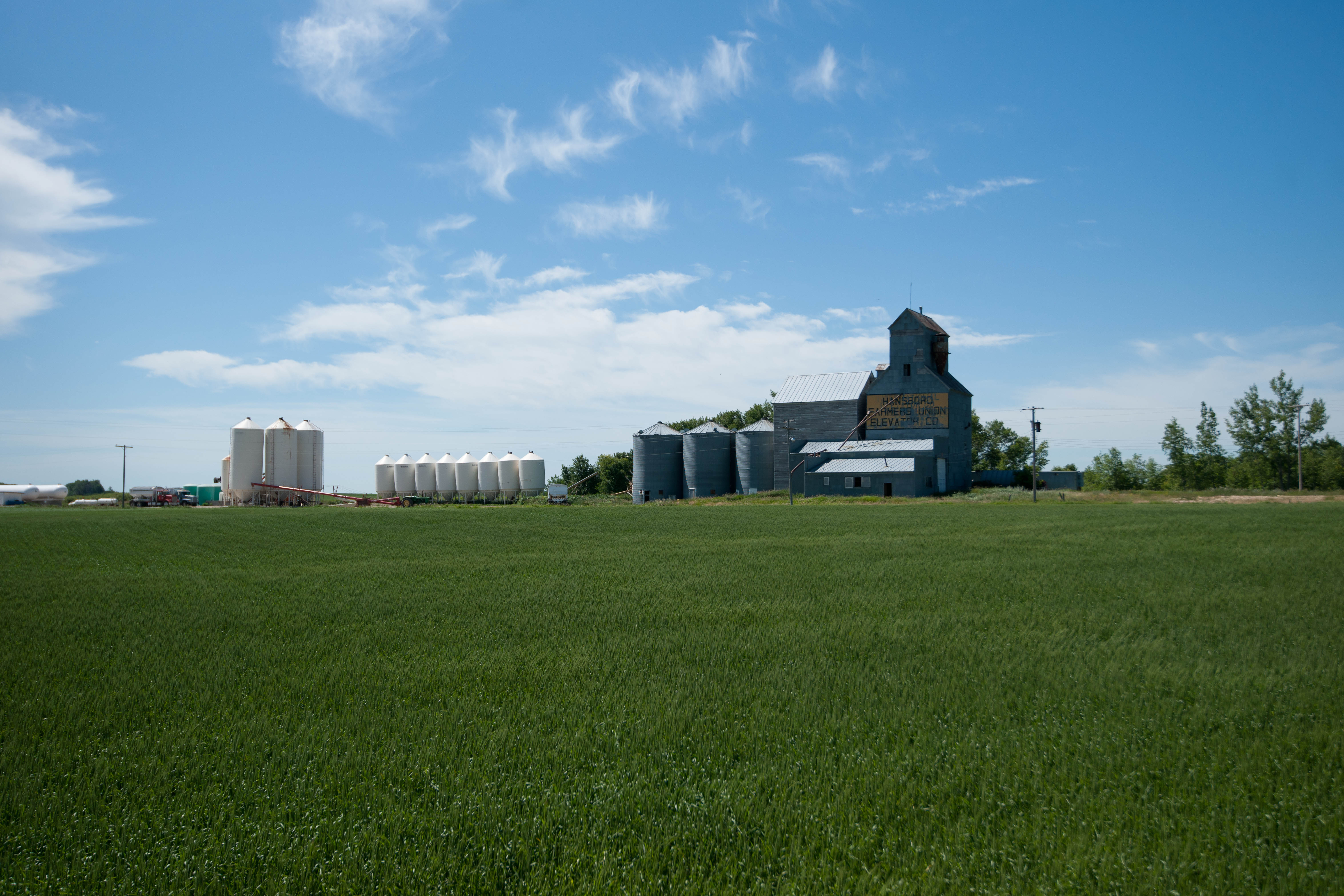
Hansboro, North Dakota
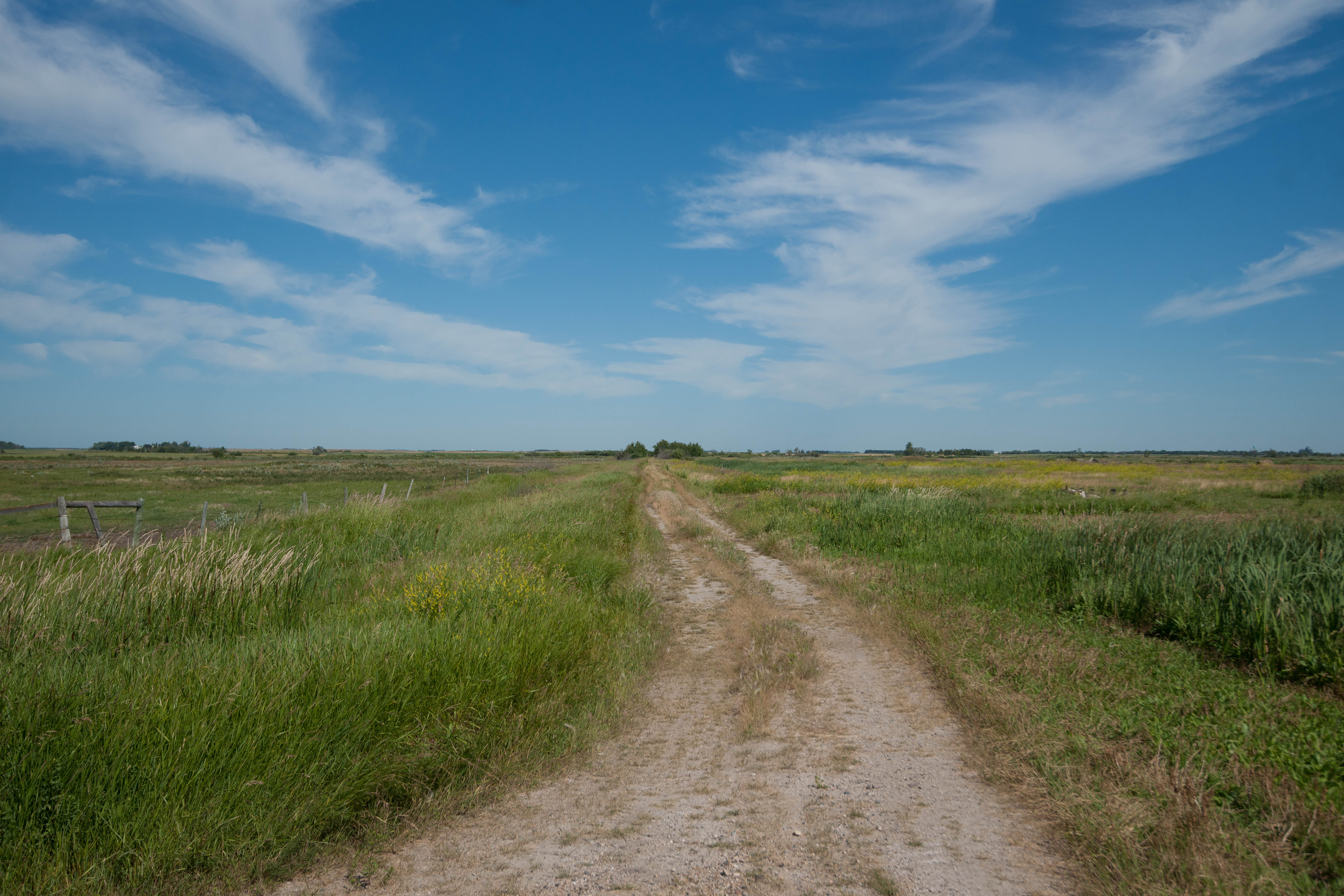
Ellsberry, North Dakota
Brumbaugh, North Dakota

Brumbaugh, North Dakota
Pasha, North Dakota
Ellsberry, North Dakota
Brumbaugh, North Dakota

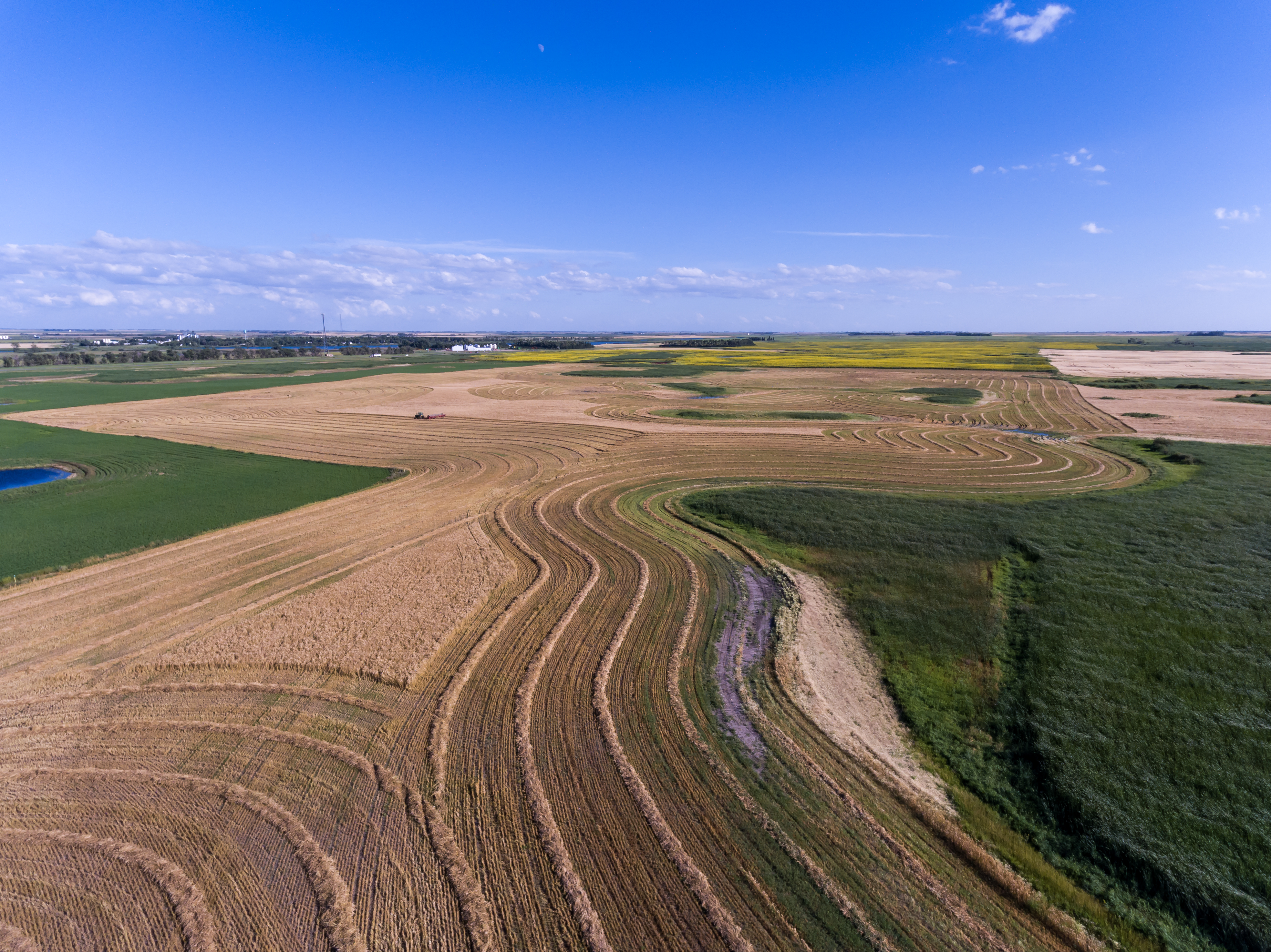
LeasHarvest-0083

Nehelennia irene
Harvest-0006
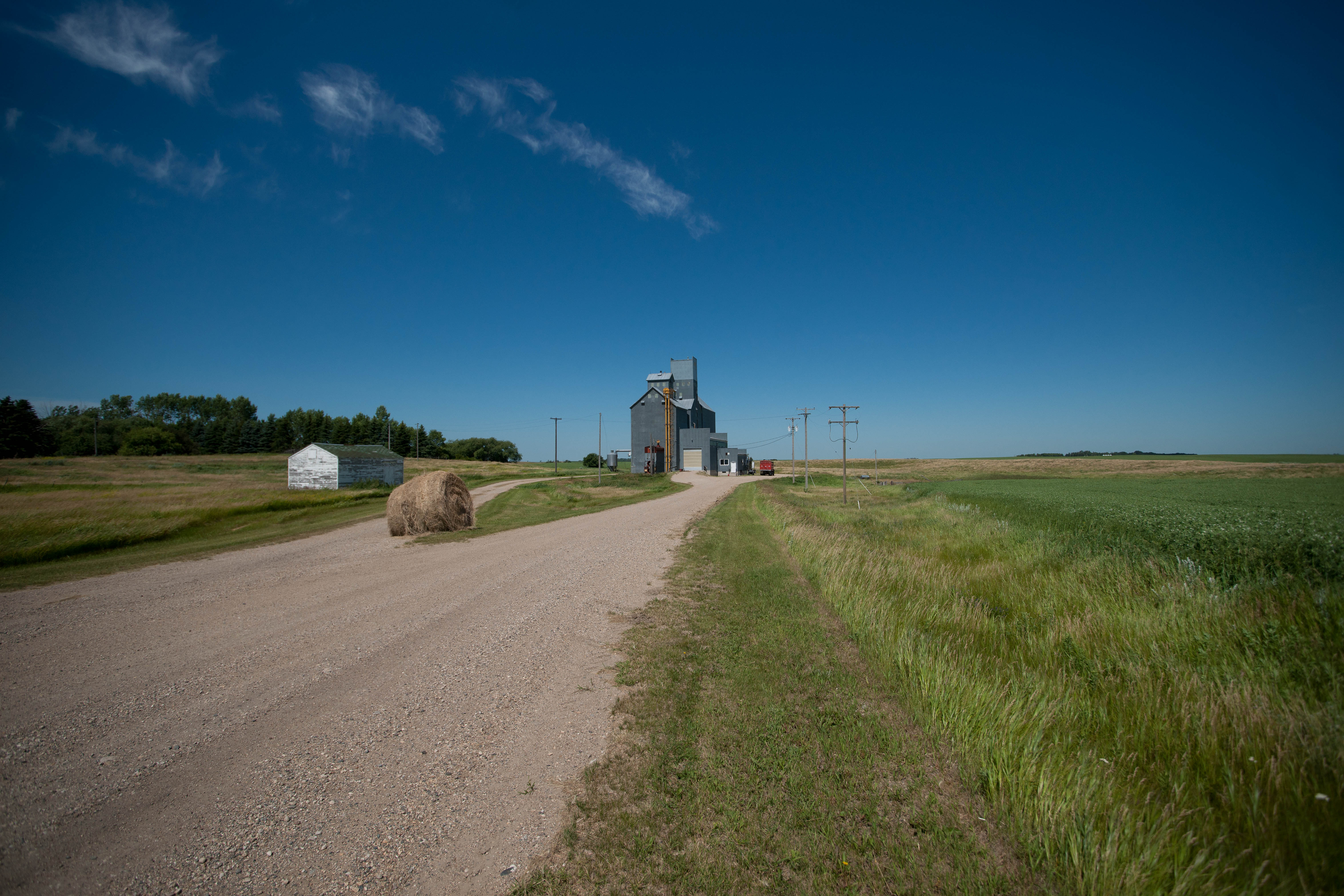
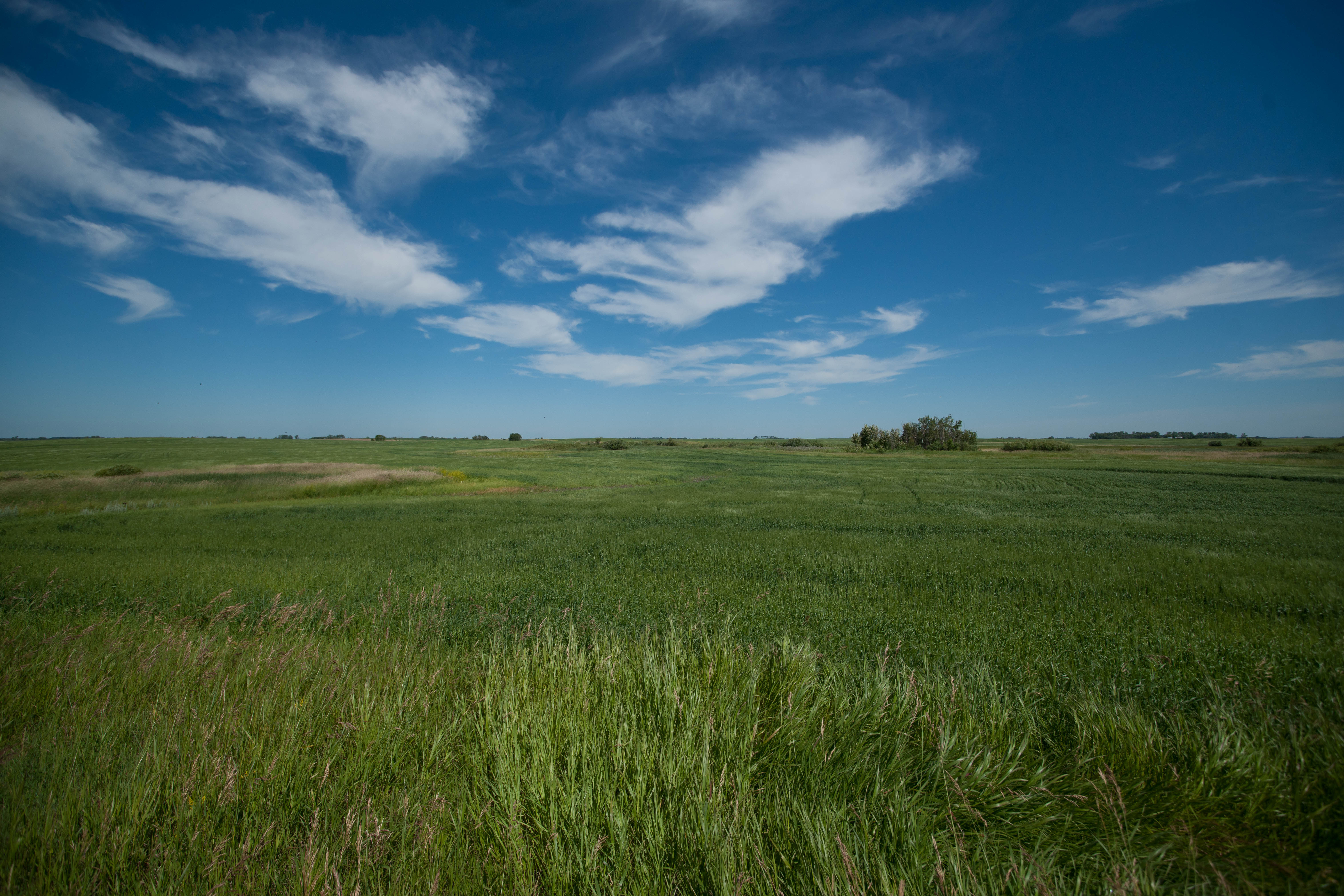
Armourdale, North Dakota
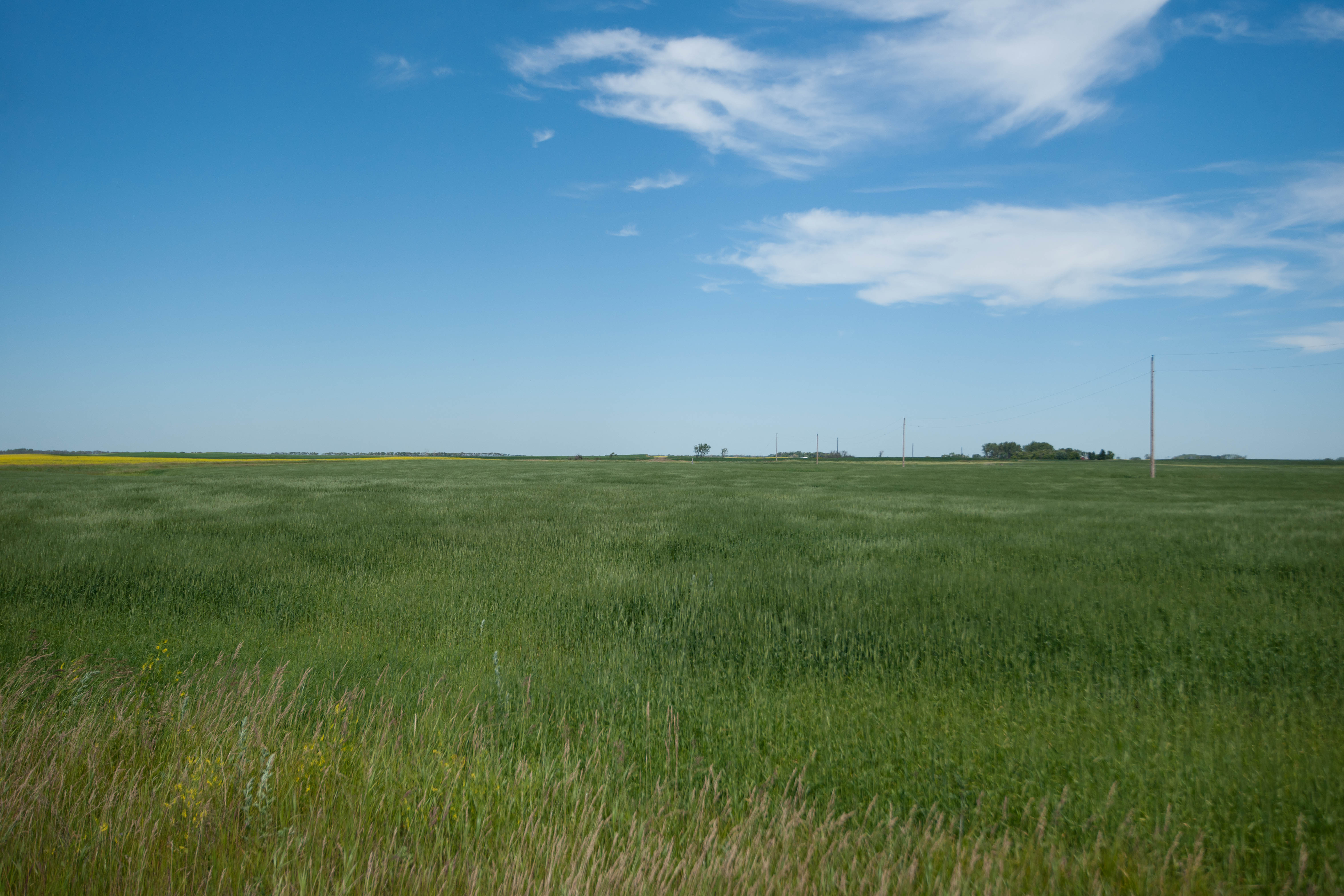
Pasha, North Dakota
Topographic Map of 63rd Ave NE, Rocklake, ND, USA
Find elevation by address:

Places near 63rd Ave NE, Rocklake, ND, USA:
9944 63rd Ave Ne
9944 63rd Ave Ne
Armourdale
Rocklake
26 Ellsberry Ave, Rocklake, ND, USA
Towner County
Rolla
Mylo
Cando
Calvin
Maza, ND, USA
Clearwater
Belcourt
East Rolette
Killarney
Turtle Mountain
Broadway St, Crystal City, MB R0K 0N0, Canada
Crystal City
Byron
Division No. 4
Recent Searches:
- Elevation of Corso Fratelli Cairoli, 35, Macerata MC, Italy
- Elevation of Tallevast Rd, Sarasota, FL, USA
- Elevation of 4th St E, Sonoma, CA, USA
- Elevation of Black Hollow Rd, Pennsdale, PA, USA
- Elevation of Oakland Ave, Williamsport, PA, USA
- Elevation of Pedrógão Grande, Portugal
- Elevation of Klee Dr, Martinsburg, WV, USA
- Elevation of Via Roma, Pieranica CR, Italy
- Elevation of Tavkvetili Mountain, Georgia
- Elevation of Hartfords Bluff Cir, Mt Pleasant, SC, USA