Elevation of Stark County, ND, USA
Location: United States > North Dakota >
Longitude: -102.65547
Latitude: 46.8250004
Elevation: 749m / 2457feet
Barometric Pressure: 93KPa
Elevation Map:
Satellite Map:
Related Photos:
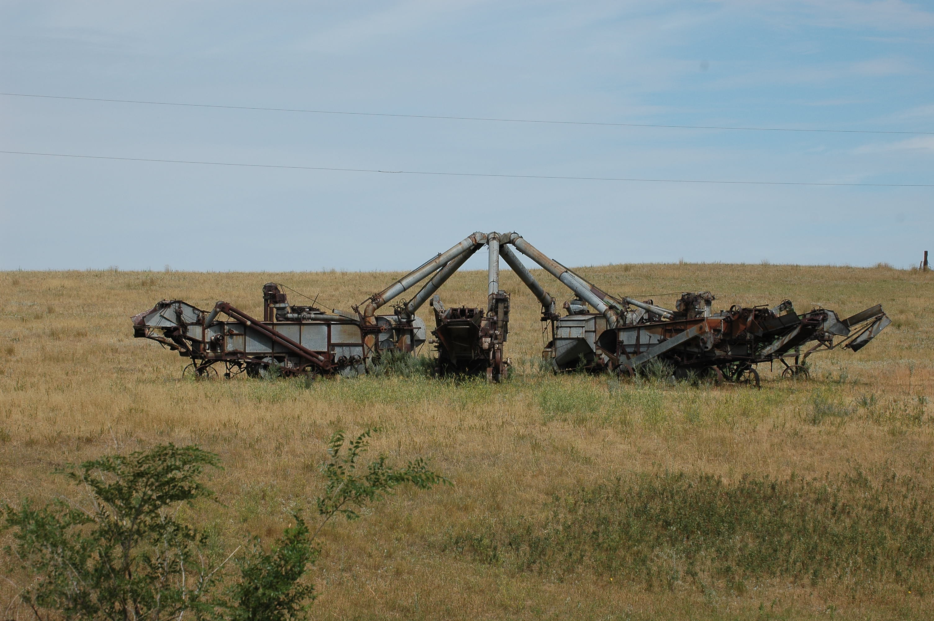
Thresher Meeting
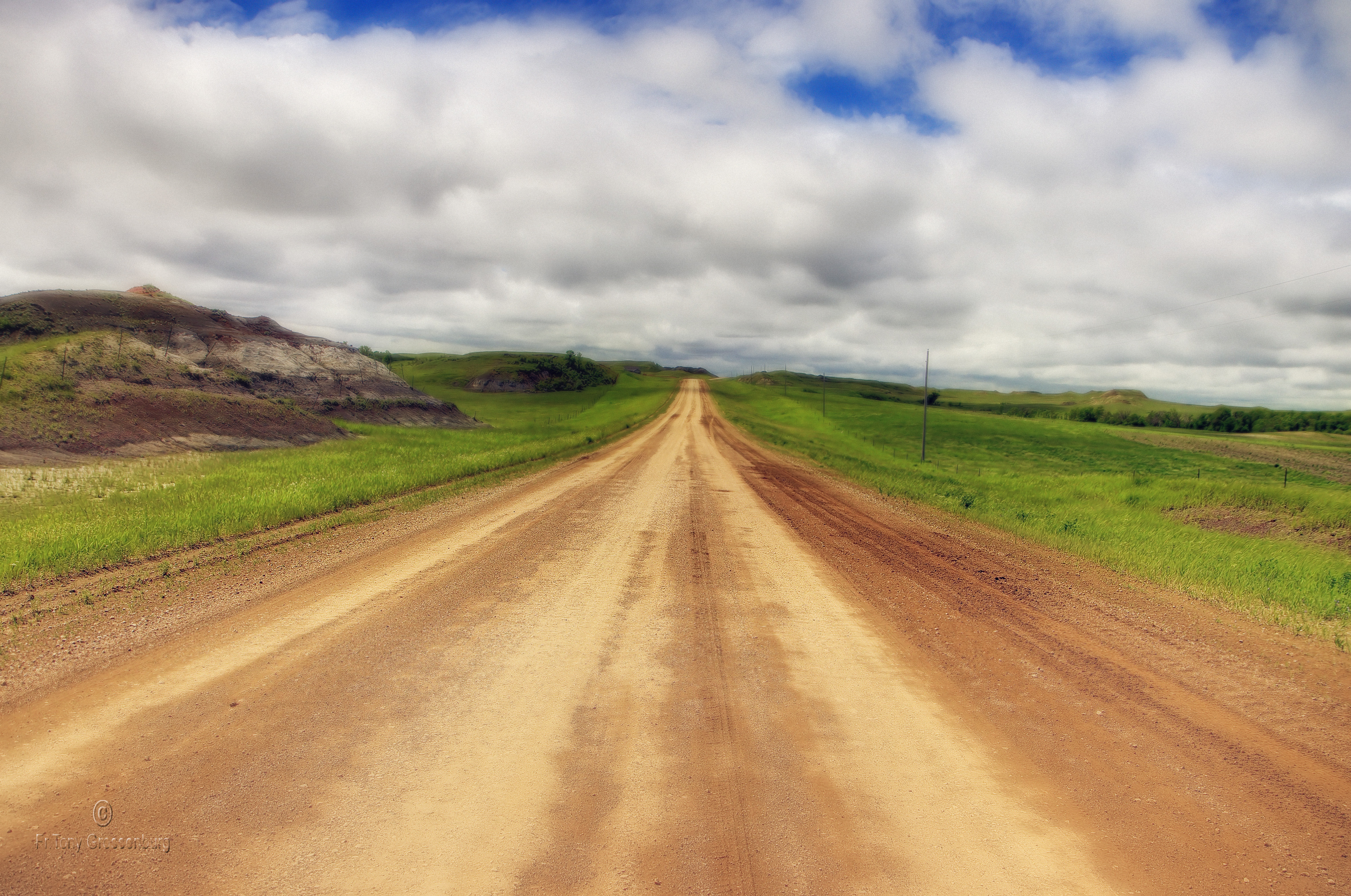
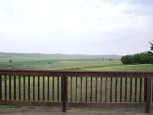
the road
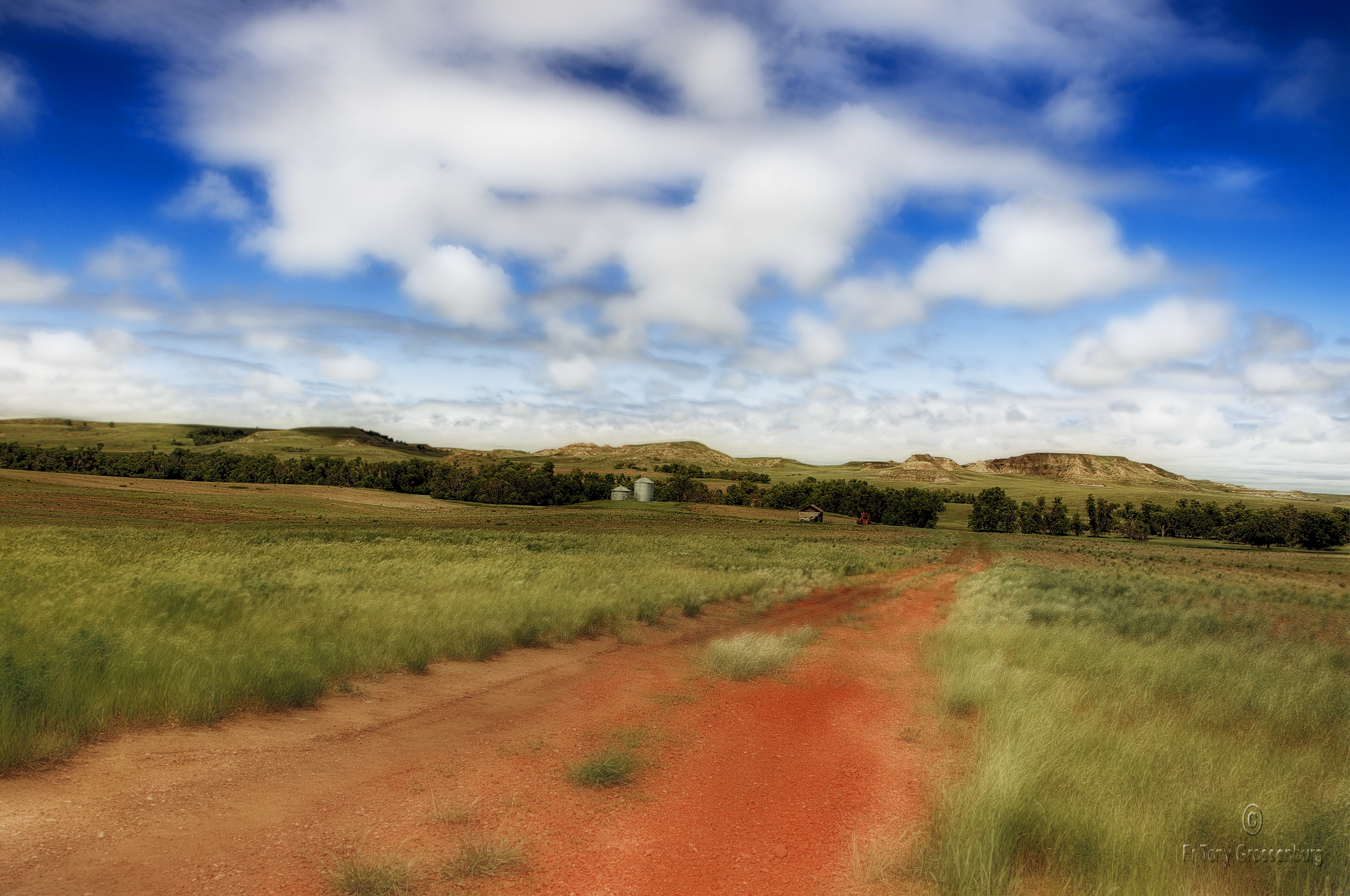
red road in ND
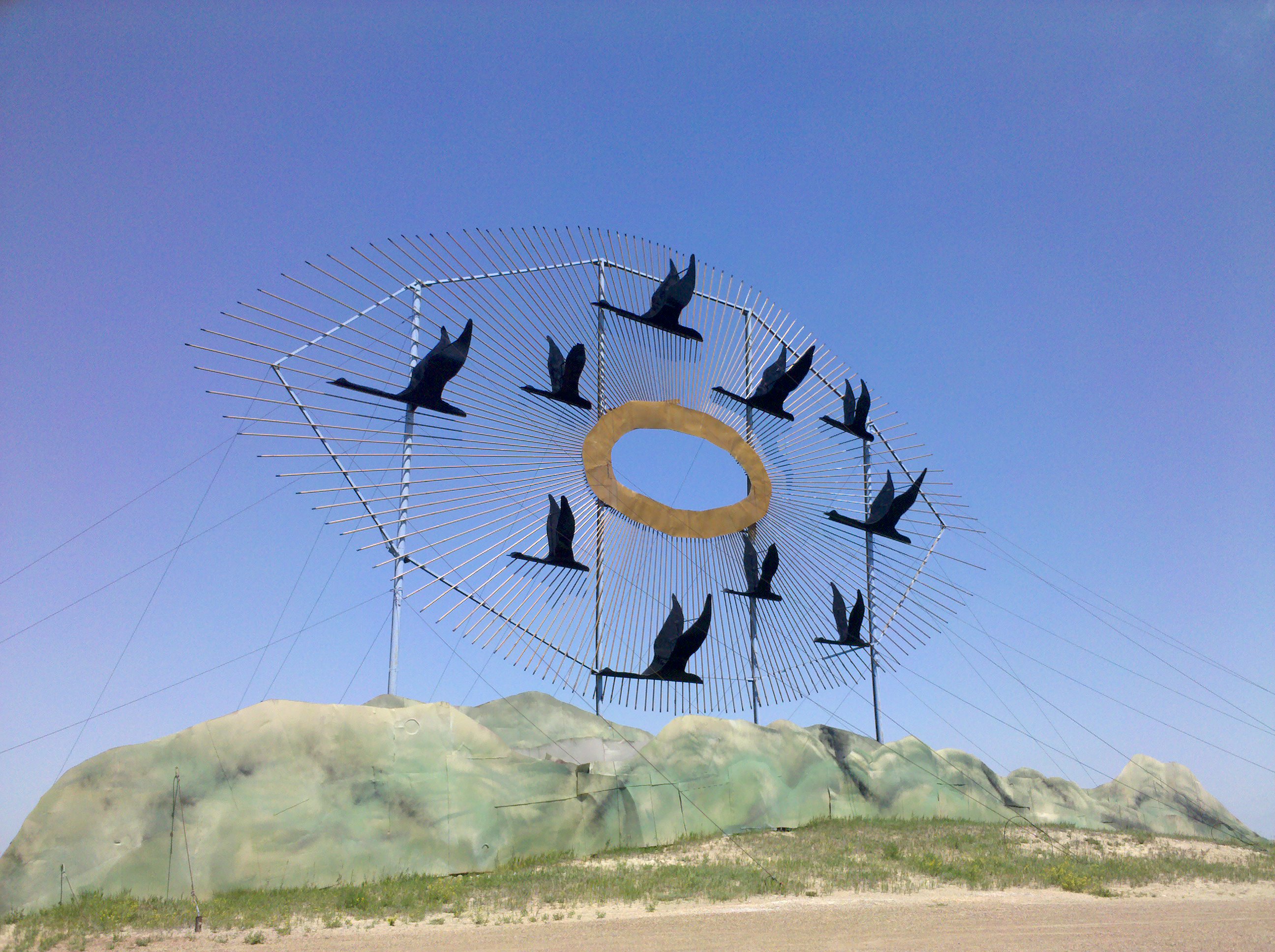
A closer view
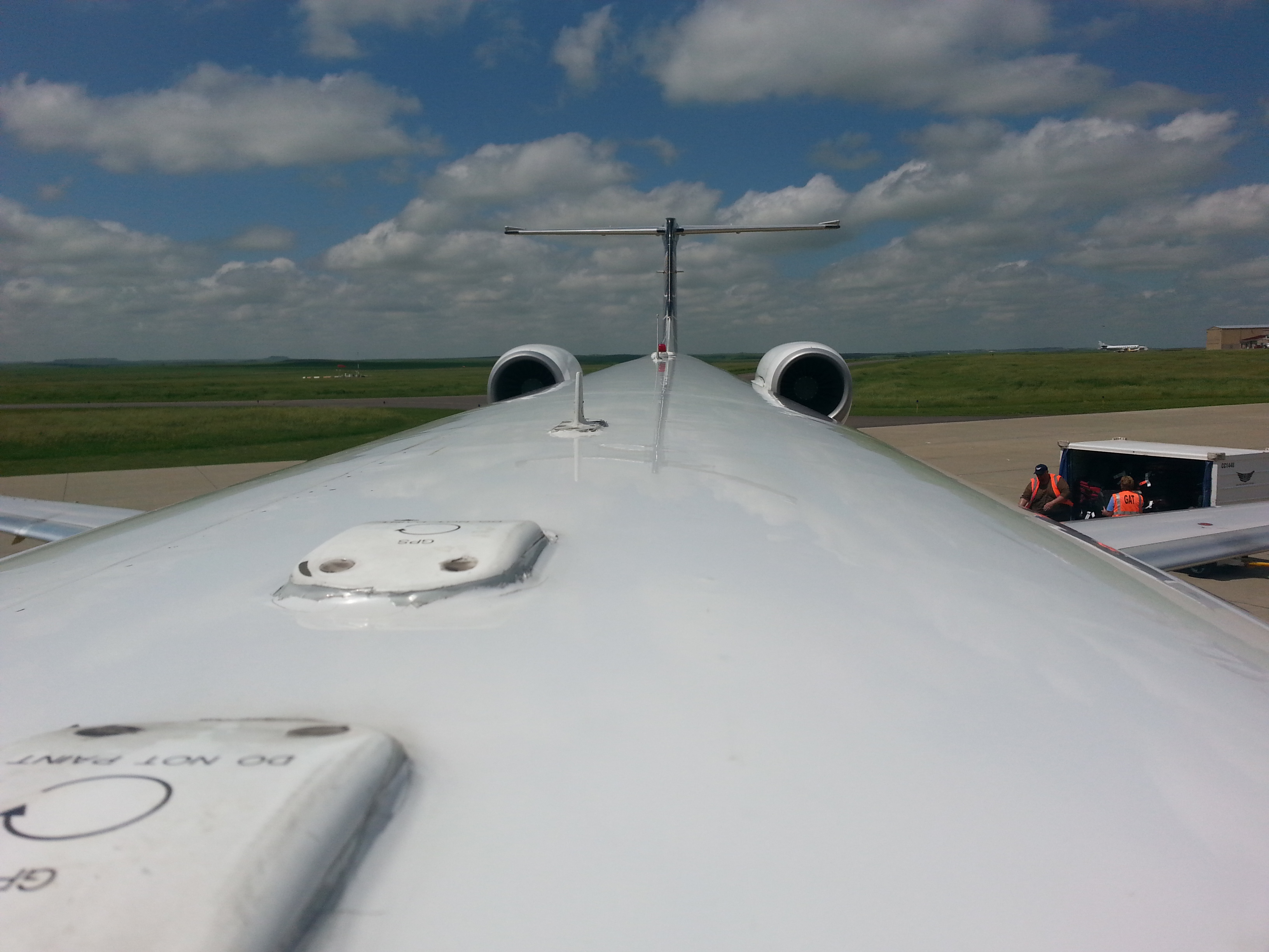
Roof line of the E145XR
day2-27
Dickinson, ND

day3-1
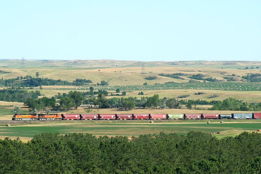
day3-33
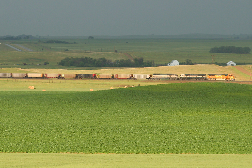
2-bnsf9971gladstone-4
2-bnsf9956gladstone-1
North Dakota

2-bnsf9956gladstone-1
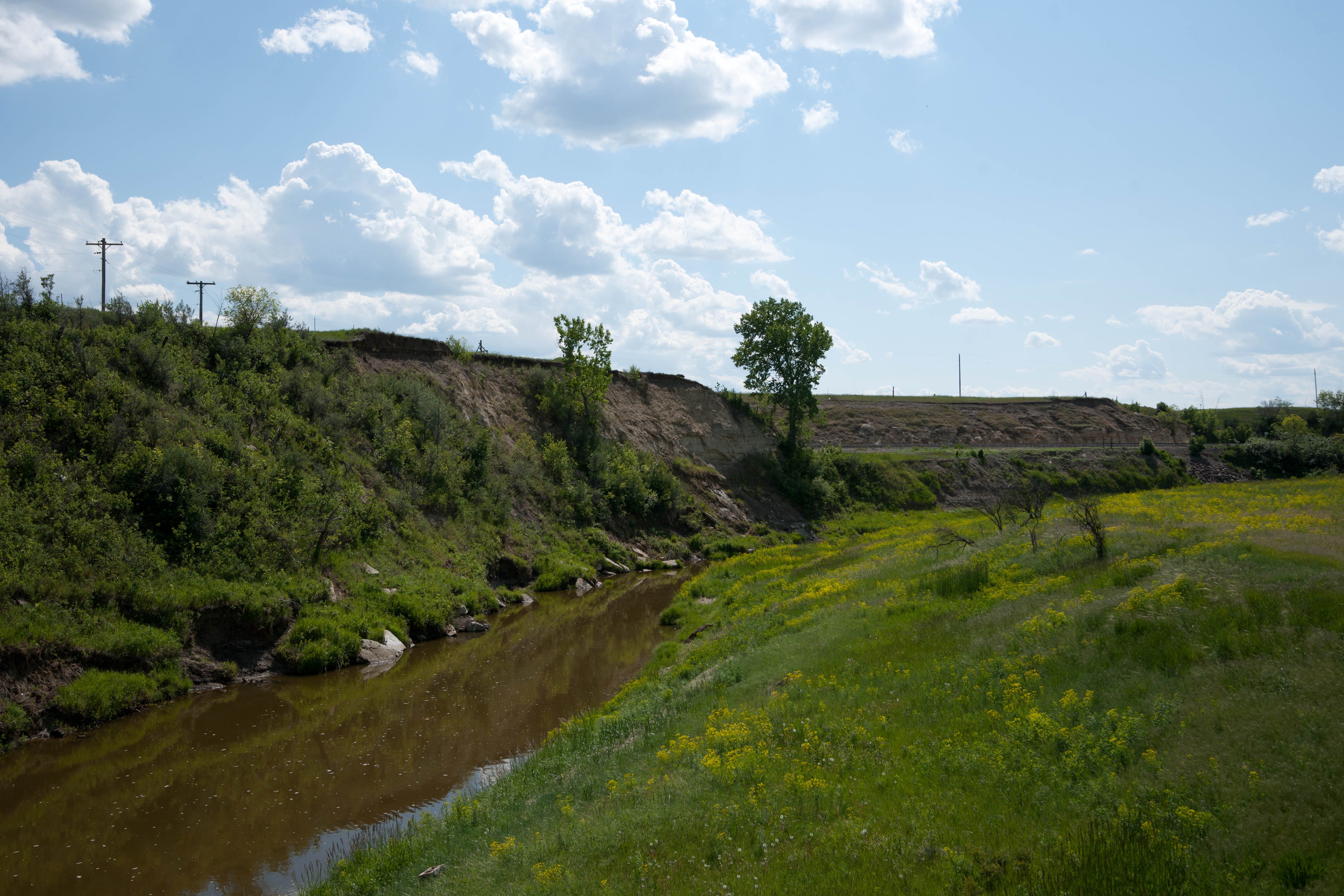
Lehigh, North Dakota
2-bnsf9956gladstone-4
Lehigh, North Dakota
North Dakota
Lehigh, North Dakota

North Dakota
North Dakota
2-bnsf9971gladstone-5
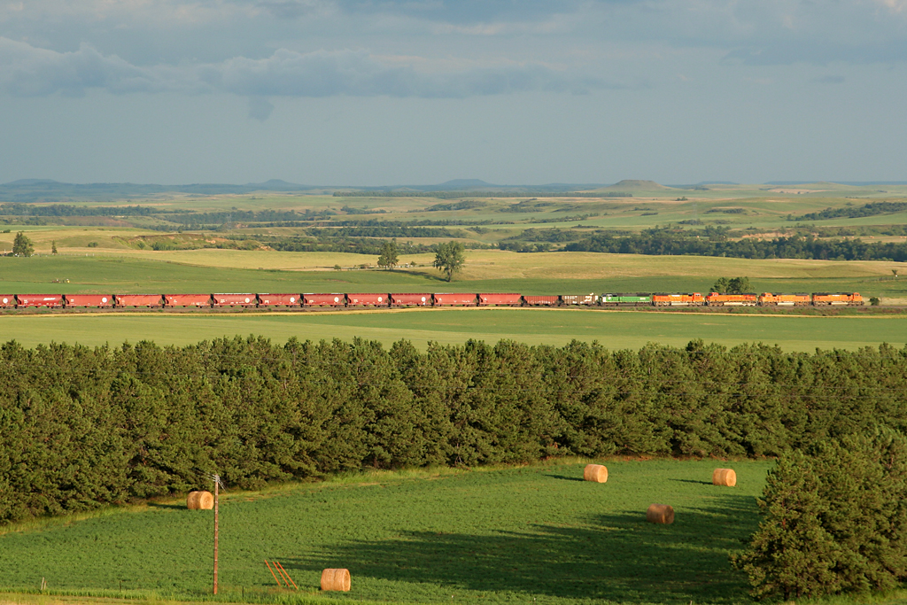
day2-31
North Dakota
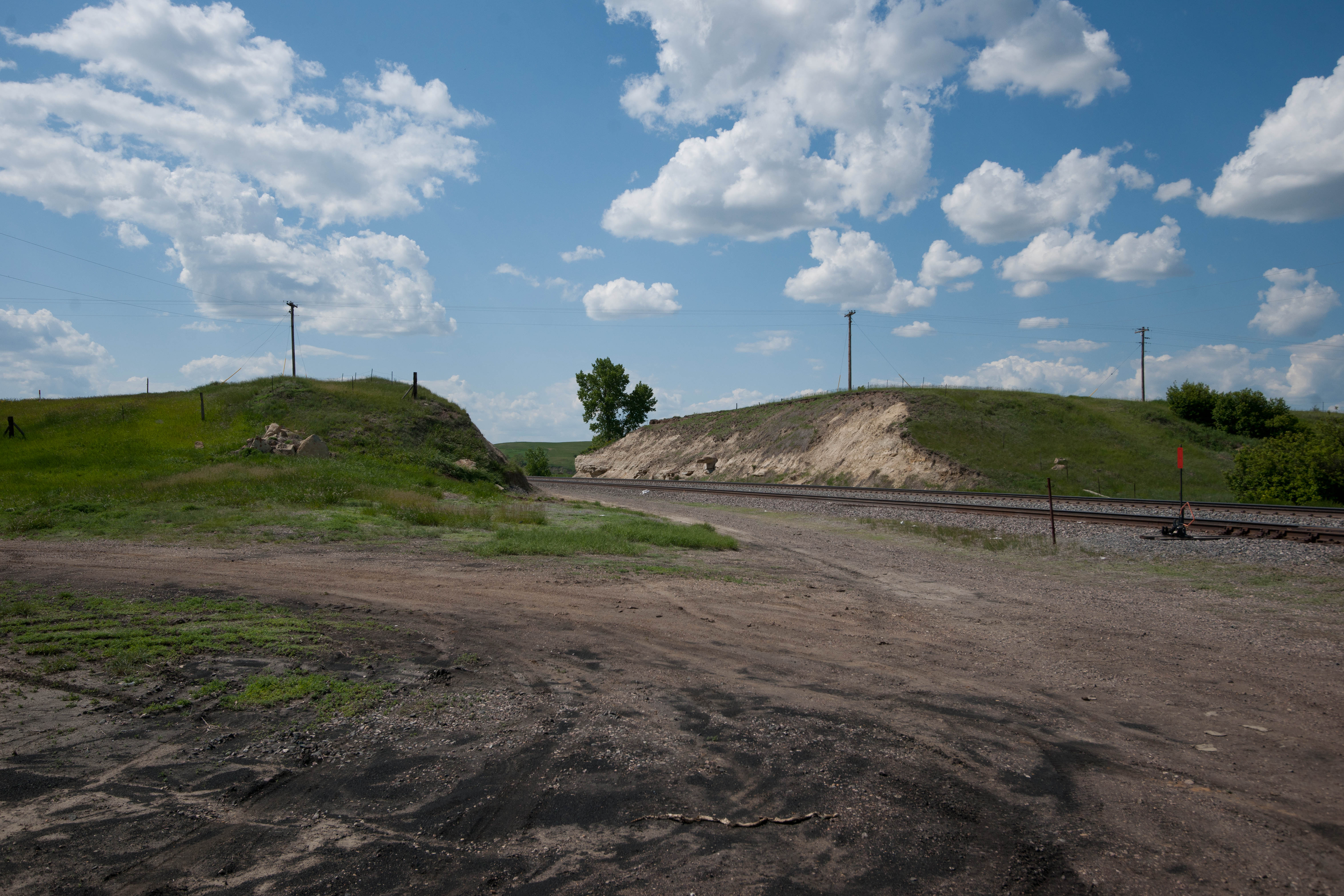
Boyle, North Dakota
Topographic Map of Stark County, ND, USA
Find elevation by address:

Places in Stark County, ND, USA:
Places near Stark County, ND, USA:
59 Street Southwest
Madison
6 1st Ave W, Regent, ND, USA
15 Central Ave N, Dunn Center, ND, USA
253 1st Ave W
253 1st Ave W
Halliday
Heart Butte Dam
Mercer County
Main St E, Beulah, ND, USA
Beulah
Hazen
3914 County Rd 86
East Mercer
Elm Ave, New Salem, ND, USA
12 W Main St, Pick City, ND, USA
Pick City
4th St, Riverdale, ND, USA
Fort Stevenson State Park
Garrison
Recent Searches:
- Elevation of Corso Fratelli Cairoli, 35, Macerata MC, Italy
- Elevation of Tallevast Rd, Sarasota, FL, USA
- Elevation of 4th St E, Sonoma, CA, USA
- Elevation of Black Hollow Rd, Pennsdale, PA, USA
- Elevation of Oakland Ave, Williamsport, PA, USA
- Elevation of Pedrógão Grande, Portugal
- Elevation of Klee Dr, Martinsburg, WV, USA
- Elevation of Via Roma, Pieranica CR, Italy
- Elevation of Tavkvetili Mountain, Georgia
- Elevation of Hartfords Bluff Cir, Mt Pleasant, SC, USA