Elevation of 1st Ave W, Halliday, ND, USA
Location: United States > North Dakota > Dunn County > Halliday >
Longitude: -102.3380821
Latitude: 47.3522378
Elevation: 627m / 2057feet
Barometric Pressure: 0KPa
Related Photos:
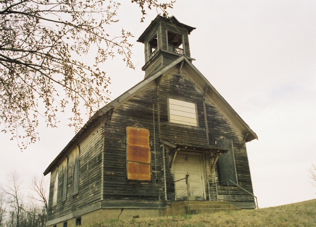
Let Us Pray
North Dakota
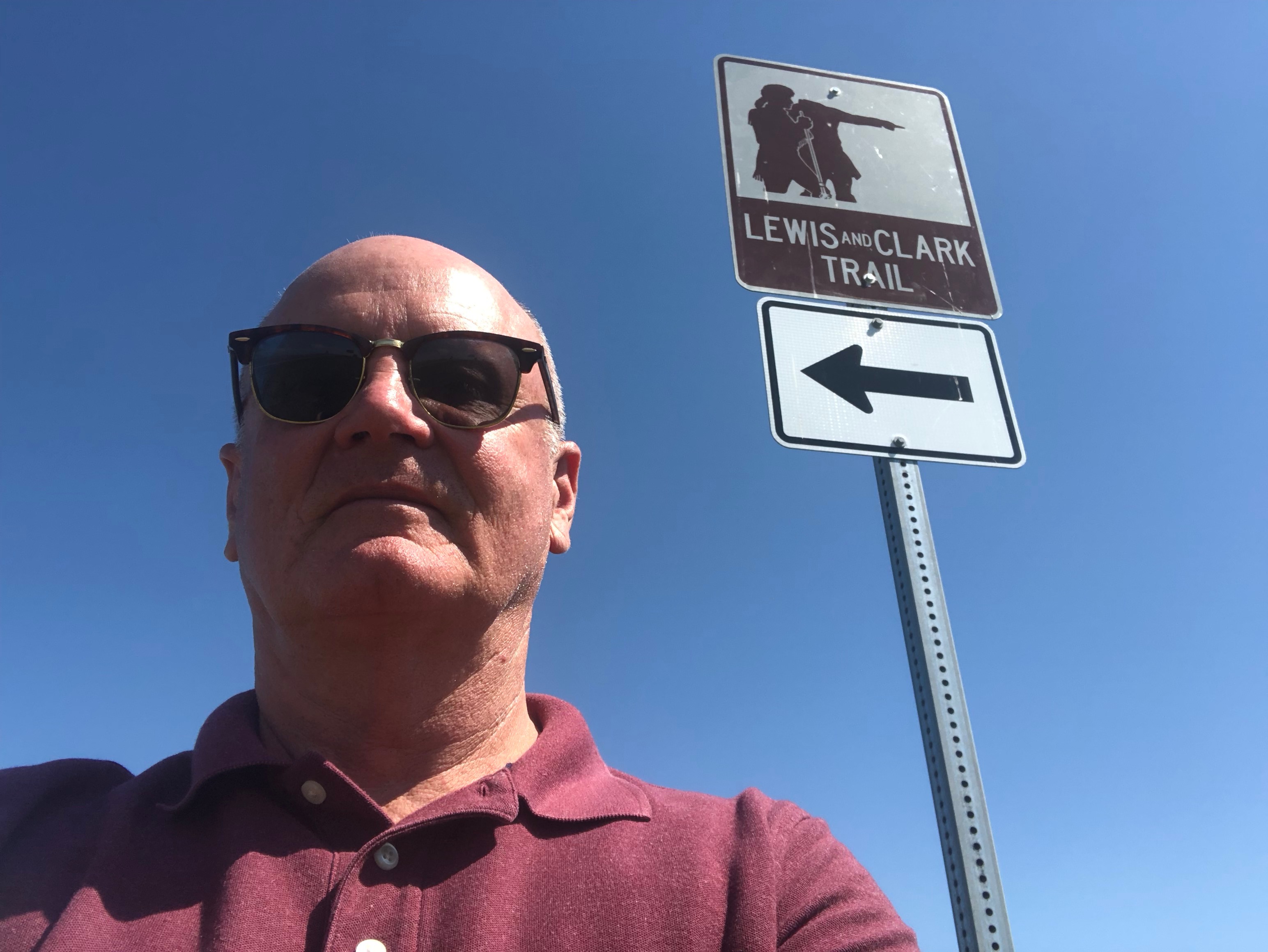
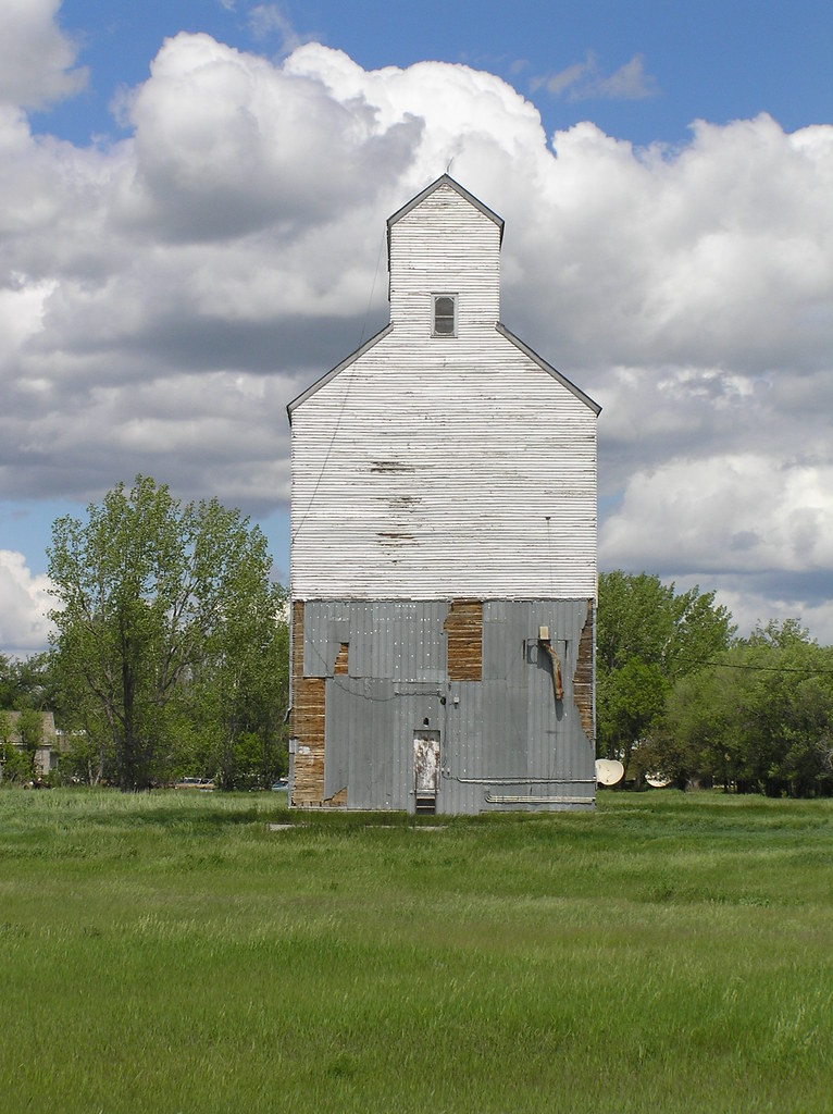
Lewis and Clark Trail
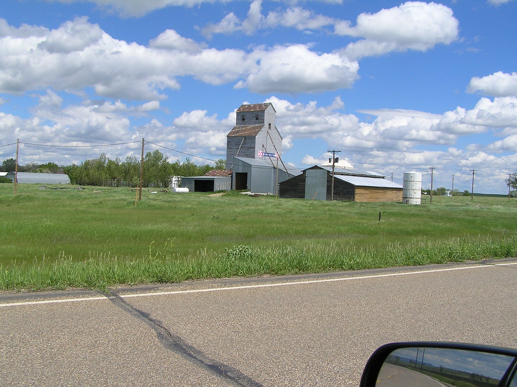
Life in Dodge, North Dakota
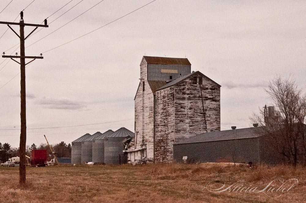
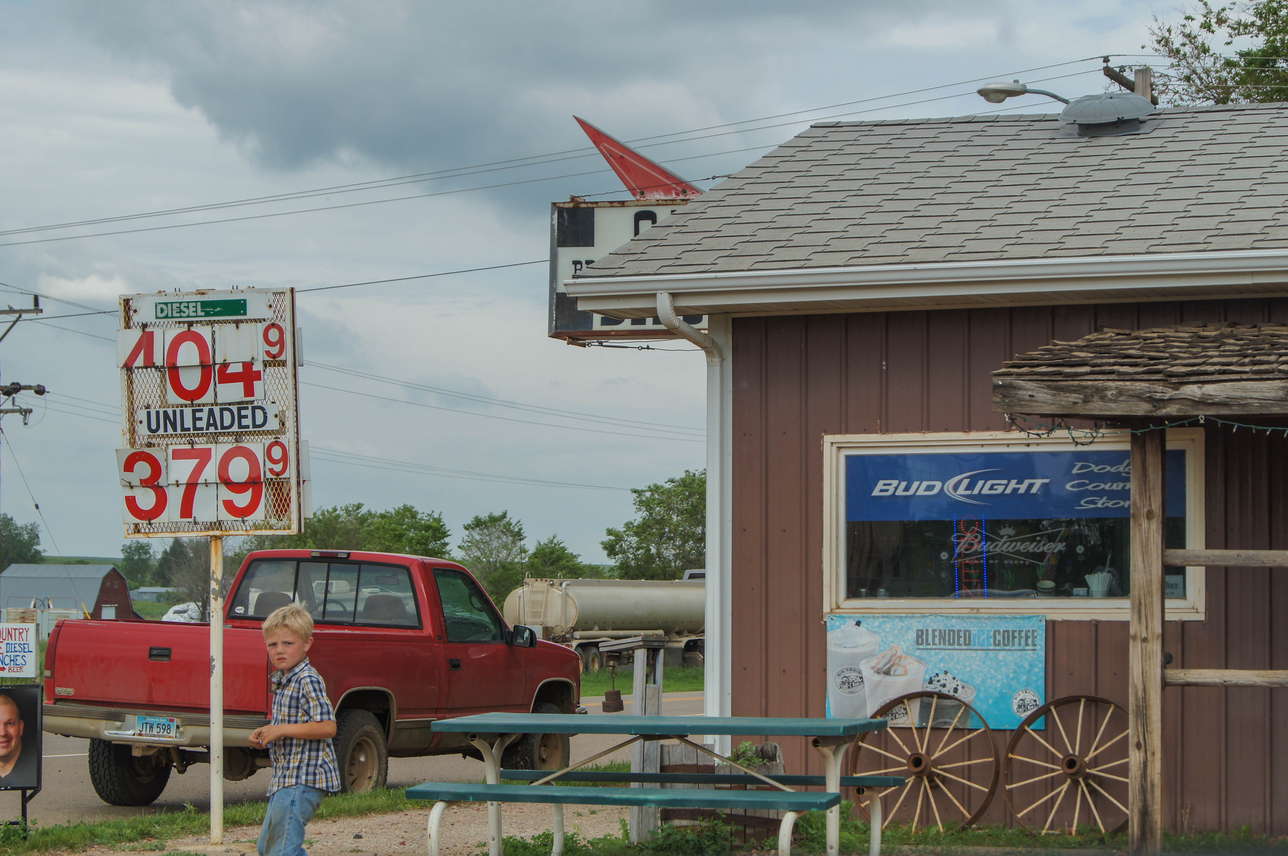
The Common Hues and Tones of Abandon
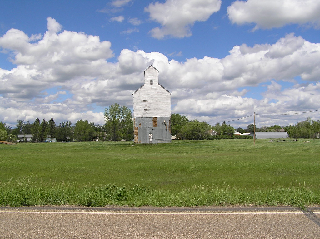
North Dakota
North Dakota
Topographic Map of 1st Ave W, Halliday, ND, USA
Find elevation by address:

Places near 1st Ave W, Halliday, ND, USA:
253 1st Ave W
Halliday
15 Central Ave N, Dunn Center, ND, USA
Mercer County
Main St E, Beulah, ND, USA
Beulah
Stark County
Hazen
East Mercer
Madison
59 Street Southwest
12 W Main St, Pick City, ND, USA
Pick City
Heart Butte Dam
Fort Stevenson State Park
6 1st Ave W, Regent, ND, USA
Garrison
3914 County Rd 86
4th St, Riverdale, ND, USA
Elm Ave, New Salem, ND, USA
Recent Searches:
- Elevation map of Litang County, Sichuan, China
- Elevation map of Madoi County, Qinghai, China
- Elevation of 3314, Ohio State Route 114, Payne, Paulding County, Ohio, 45880, USA
- Elevation of Sarahills Drive, Saratoga, Santa Clara County, California, 95070, USA
- Elevation of Town of Bombay, Franklin County, New York, USA
- Elevation of 9, Convent Lane, Center Moriches, Suffolk County, New York, 11934, USA
- Elevation of Saint Angelas Convent, 9, Convent Lane, Center Moriches, Suffolk County, New York, 11934, USA
- Elevation of 131st Street Southwest, Mukilteo, Snohomish County, Washington, 98275, USA
- Elevation of 304, Harrison Road, Naples, Cumberland County, Maine, 04055, USA
- Elevation of 2362, Timber Ridge Road, Harrisburg, Cabarrus County, North Carolina, 28075, USA
- Elevation of Ridge Road, Marshalltown, Marshall County, Iowa, 50158, USA
- Elevation of 2459, Misty Shadows Drive, Pigeon Forge, Sevier County, Tennessee, 37862, USA
- Elevation of 8043, Brightwater Way, Spring Hill, Williamson County, Tennessee, 37179, USA
- Elevation of Starkweather Road, San Luis, Costilla County, Colorado, 81152, USA
- Elevation of 5277, Woodside Drive, Baton Rouge, East Baton Rouge Parish, Louisiana, 70808, USA
- Elevation of 1139, Curtin Street, Shepherd Park Plaza, Houston, Harris County, Texas, 77018, USA
- Elevation of 136, Sellers Lane, Repton, Monroe County, Alabama, 36475, USA
- Elevation of 12914, Elmington Drive, Lakewood Forest, Houston, Harris County, Texas, 77429, USA
- Elevation of 417, Camelot Drive, Statesville, Iredell County, North Carolina, 28625, USA
- Elevation of 5792, Wildridge Road, Avon, Eagle County, Colorado, 81620, USA