Elevation of 1st Ave W, Halliday, ND, USA
Location: United States > North Dakota > Dunn County > Halliday >
Longitude: -102.33808
Latitude: 47.3522378
Elevation: 627m / 2057feet
Barometric Pressure: 94KPa
Elevation Map:
Satellite Map:
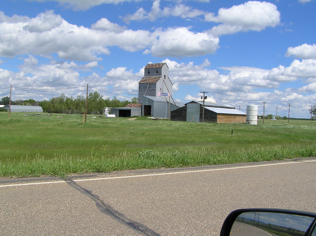
Related Photos:
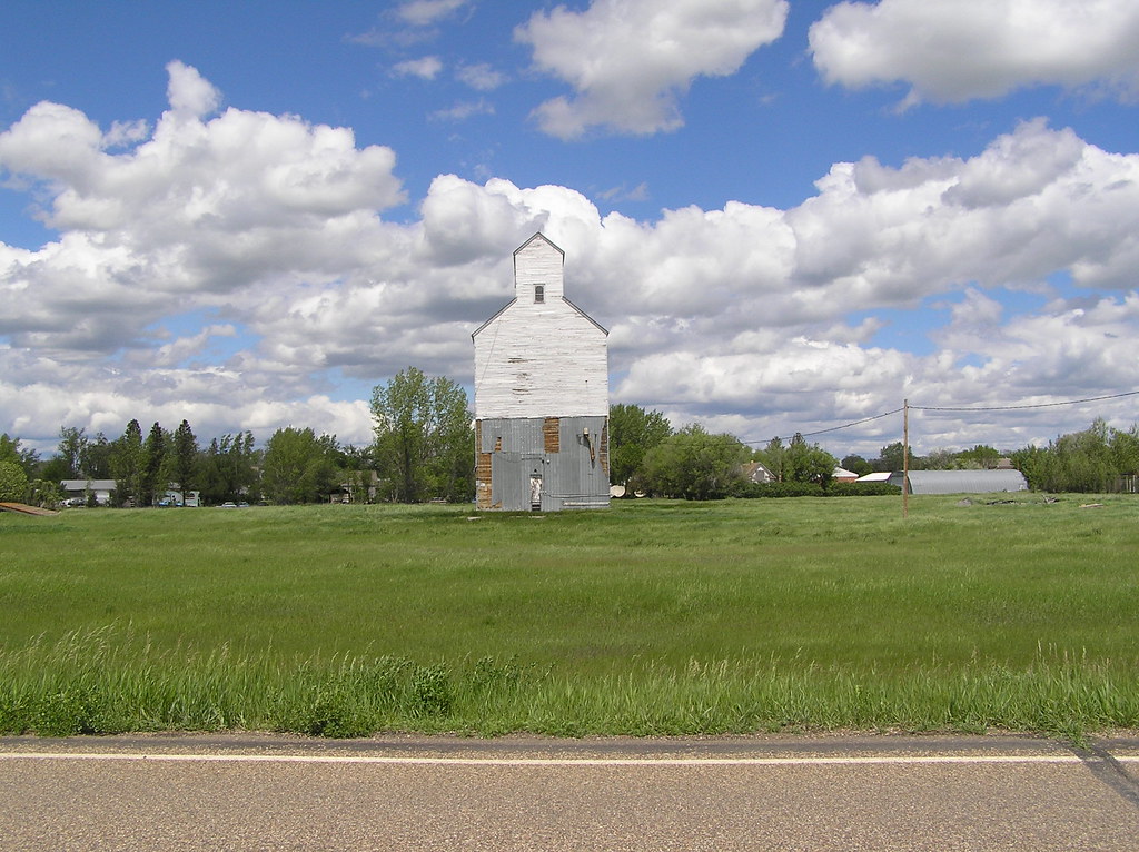
North Dakota
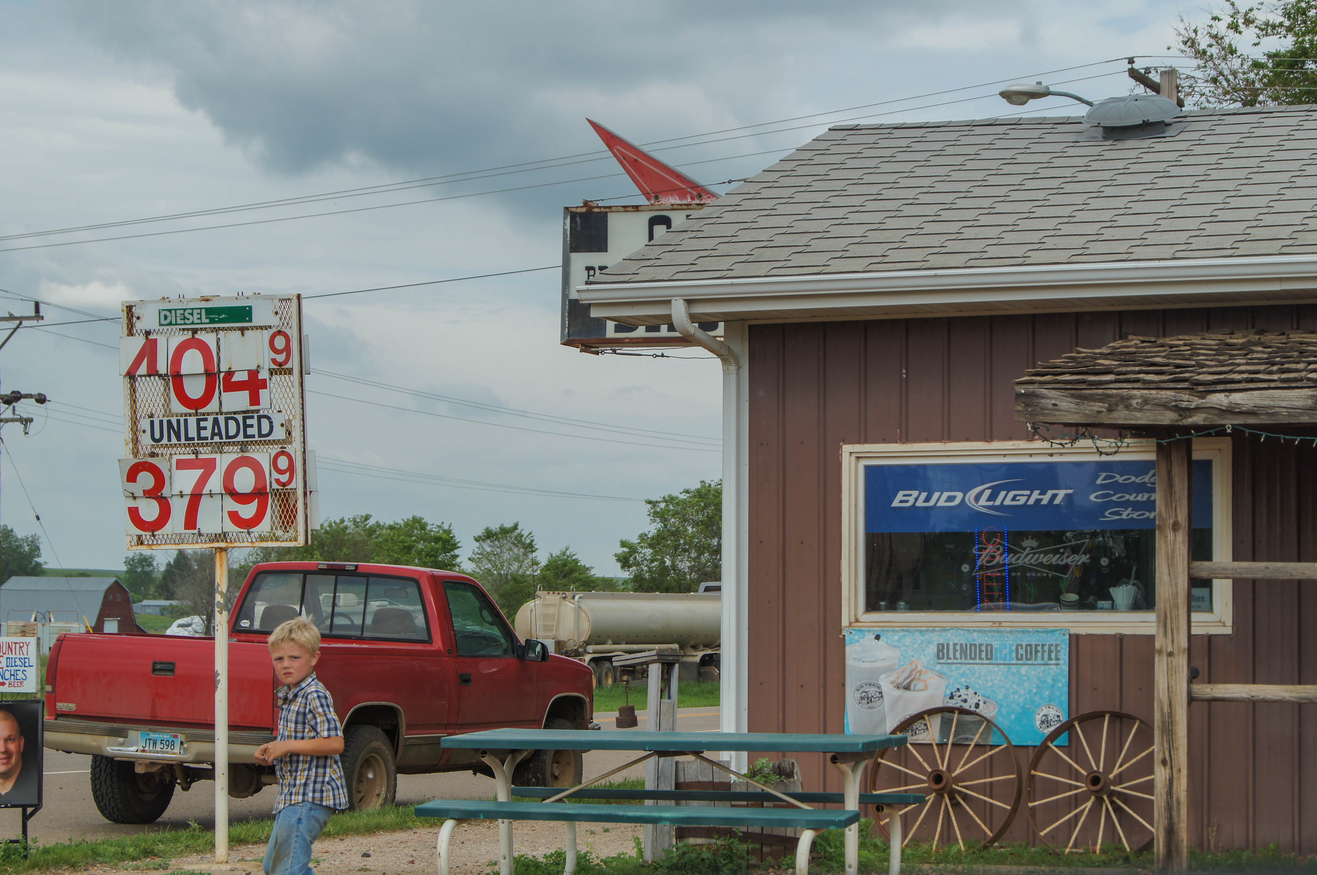
Life in Dodge, North Dakota
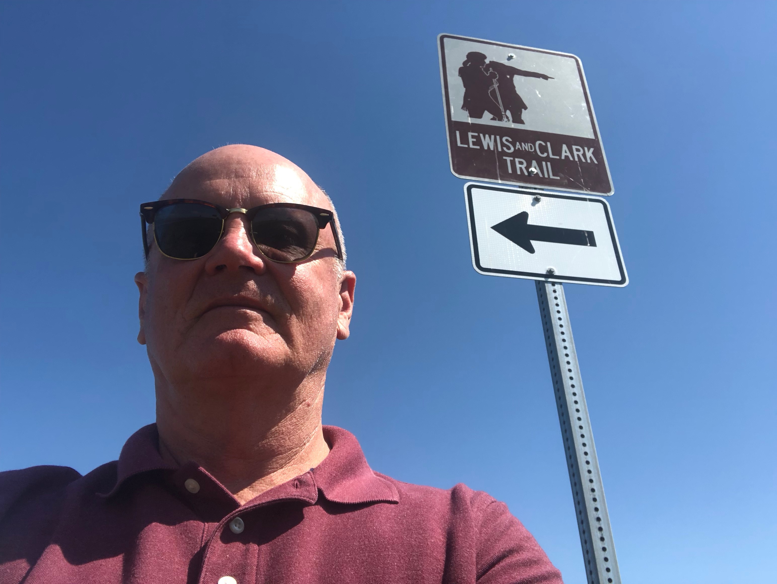
Lewis and Clark Trail
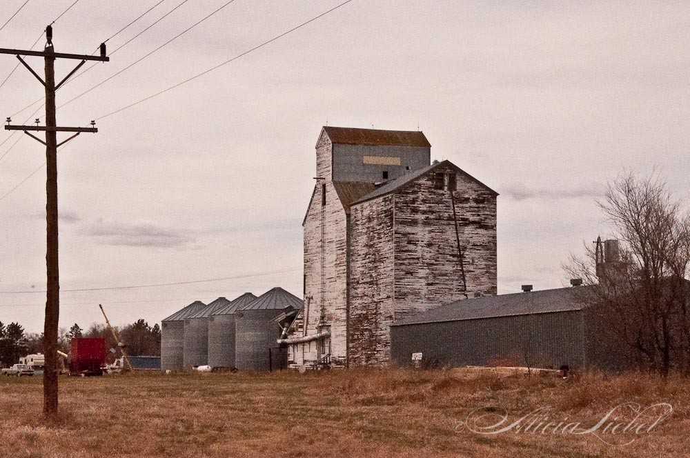
The Common Hues and Tones of Abandon
North Dakota
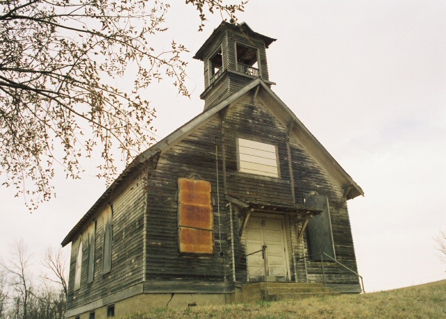
Let Us Pray
Topographic Map of 1st Ave W, Halliday, ND, USA
Find elevation by address:

Places near 1st Ave W, Halliday, ND, USA:
253 1st Ave W
Halliday
15 Central Ave N, Dunn Center, ND, USA
Mercer County
Main St E, Beulah, ND, USA
Beulah
Stark County
Hazen
East Mercer
Madison
59 Street Southwest
12 W Main St, Pick City, ND, USA
Pick City
Heart Butte Dam
Fort Stevenson State Park
6 1st Ave W, Regent, ND, USA
Garrison
3914 County Rd 86
4th St, Riverdale, ND, USA
Elm Ave, New Salem, ND, USA
Recent Searches:
- Elevation of Corso Fratelli Cairoli, 35, Macerata MC, Italy
- Elevation of Tallevast Rd, Sarasota, FL, USA
- Elevation of 4th St E, Sonoma, CA, USA
- Elevation of Black Hollow Rd, Pennsdale, PA, USA
- Elevation of Oakland Ave, Williamsport, PA, USA
- Elevation of Pedrógão Grande, Portugal
- Elevation of Klee Dr, Martinsburg, WV, USA
- Elevation of Via Roma, Pieranica CR, Italy
- Elevation of Tavkvetili Mountain, Georgia
- Elevation of Hartfords Bluff Cir, Mt Pleasant, SC, USA