Elevation of Barnes County, ND, USA
Location: United States > North Dakota >
Longitude: -98.122233
Latitude: 46.926176
Elevation: 430m / 1411feet
Barometric Pressure: 96KPa
Elevation Map:
Satellite Map:
Related Photos:
apr08-23
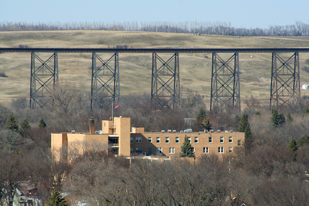
Hi Line
apr08-19
apr08-16

apr08-22
apr08-21
apr08-20
apr08-24
BNSF 5226

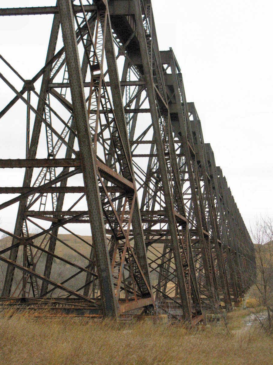
Sanborn causeway
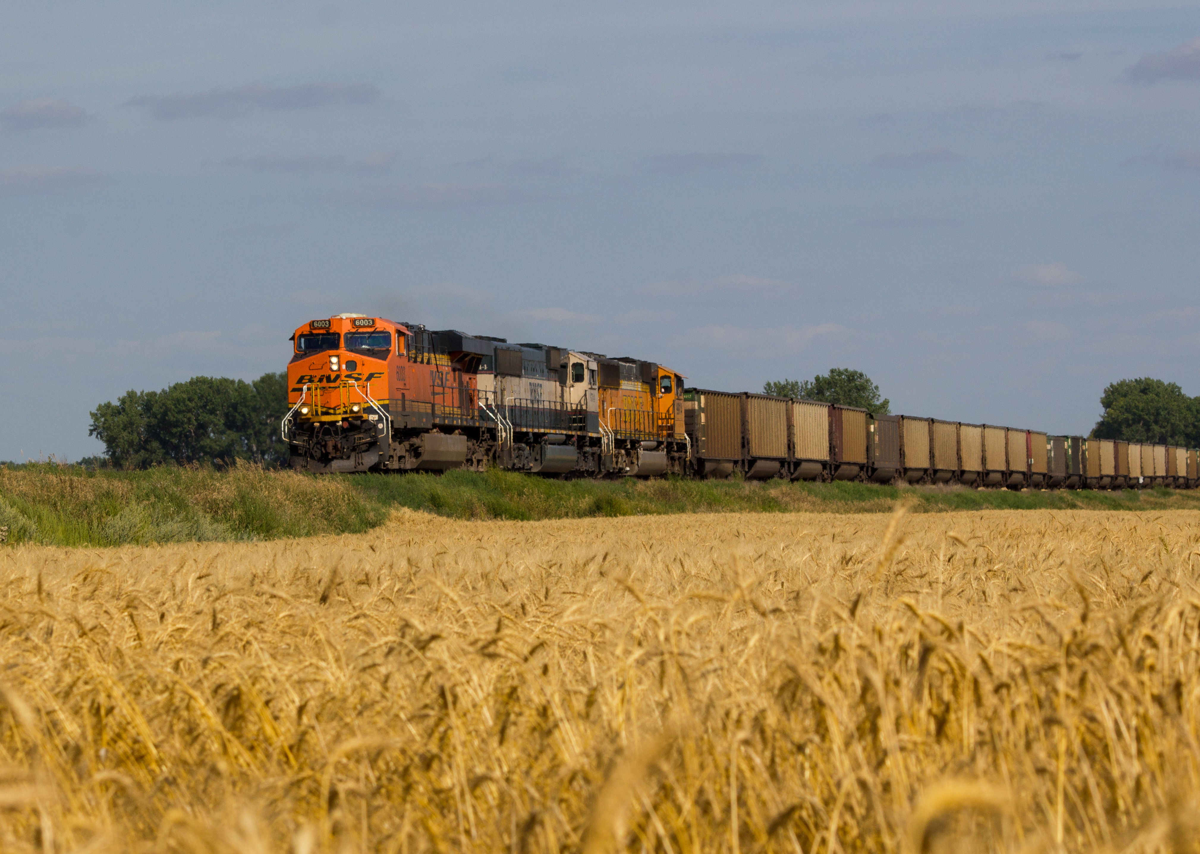
BNSF 6003
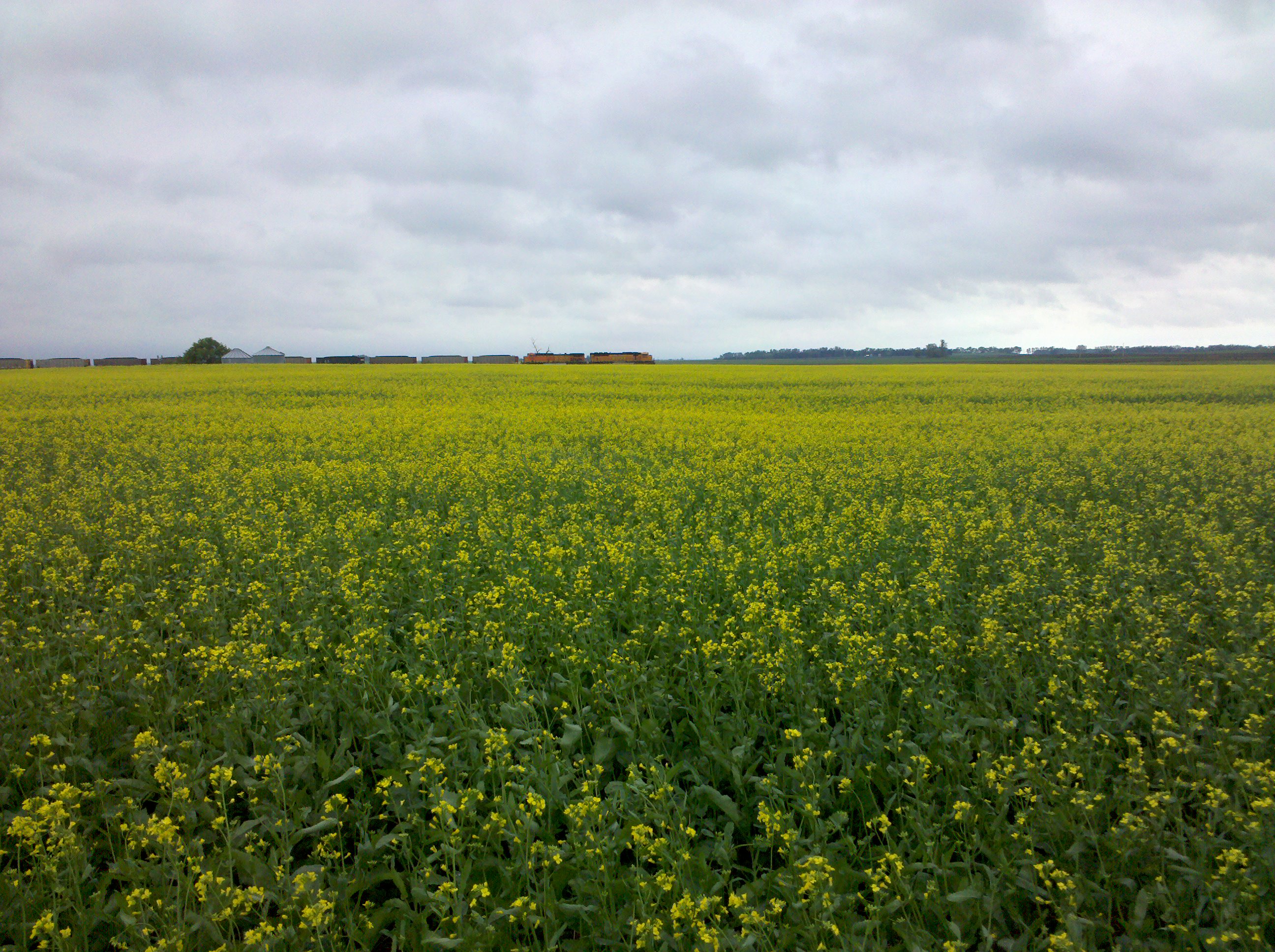
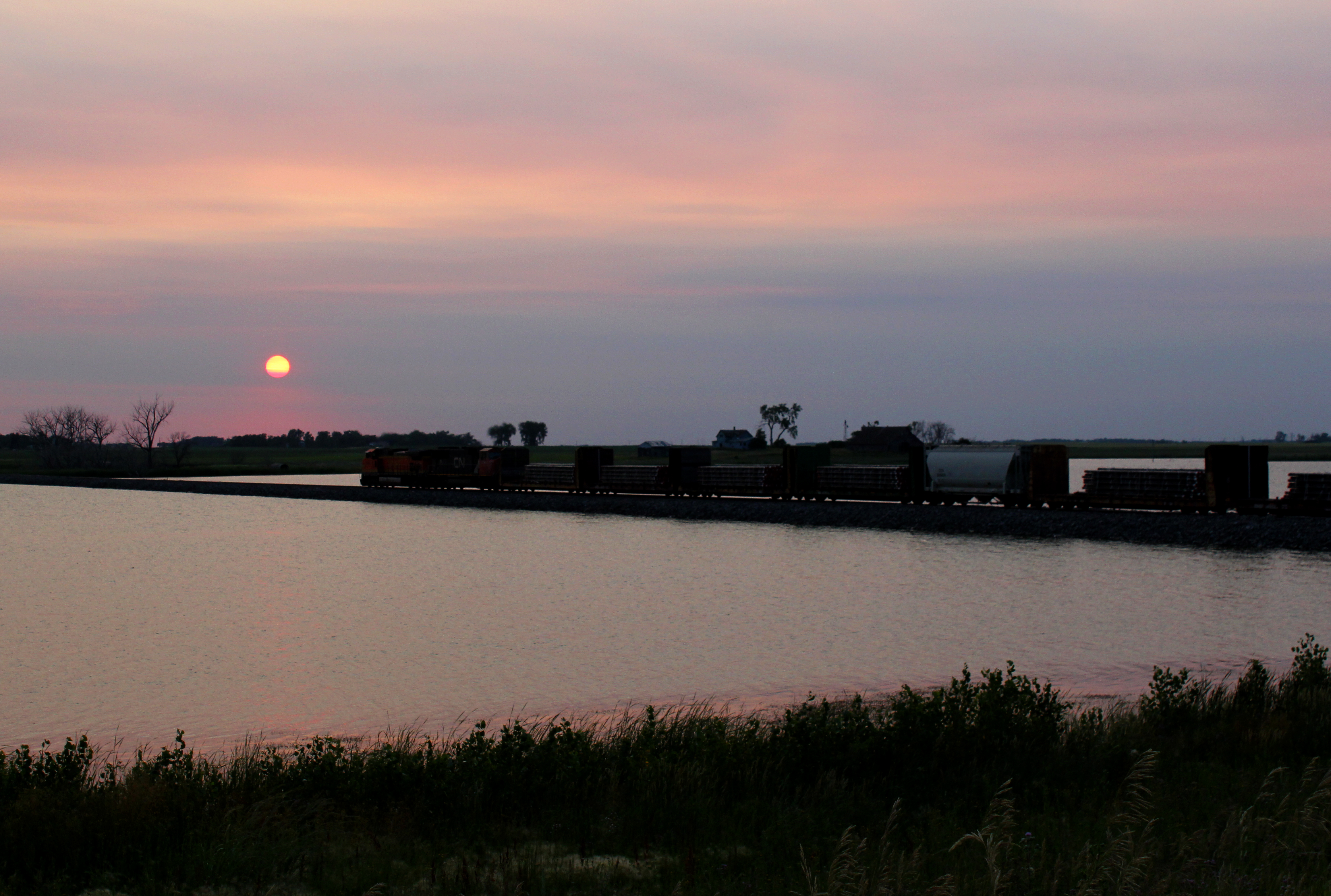
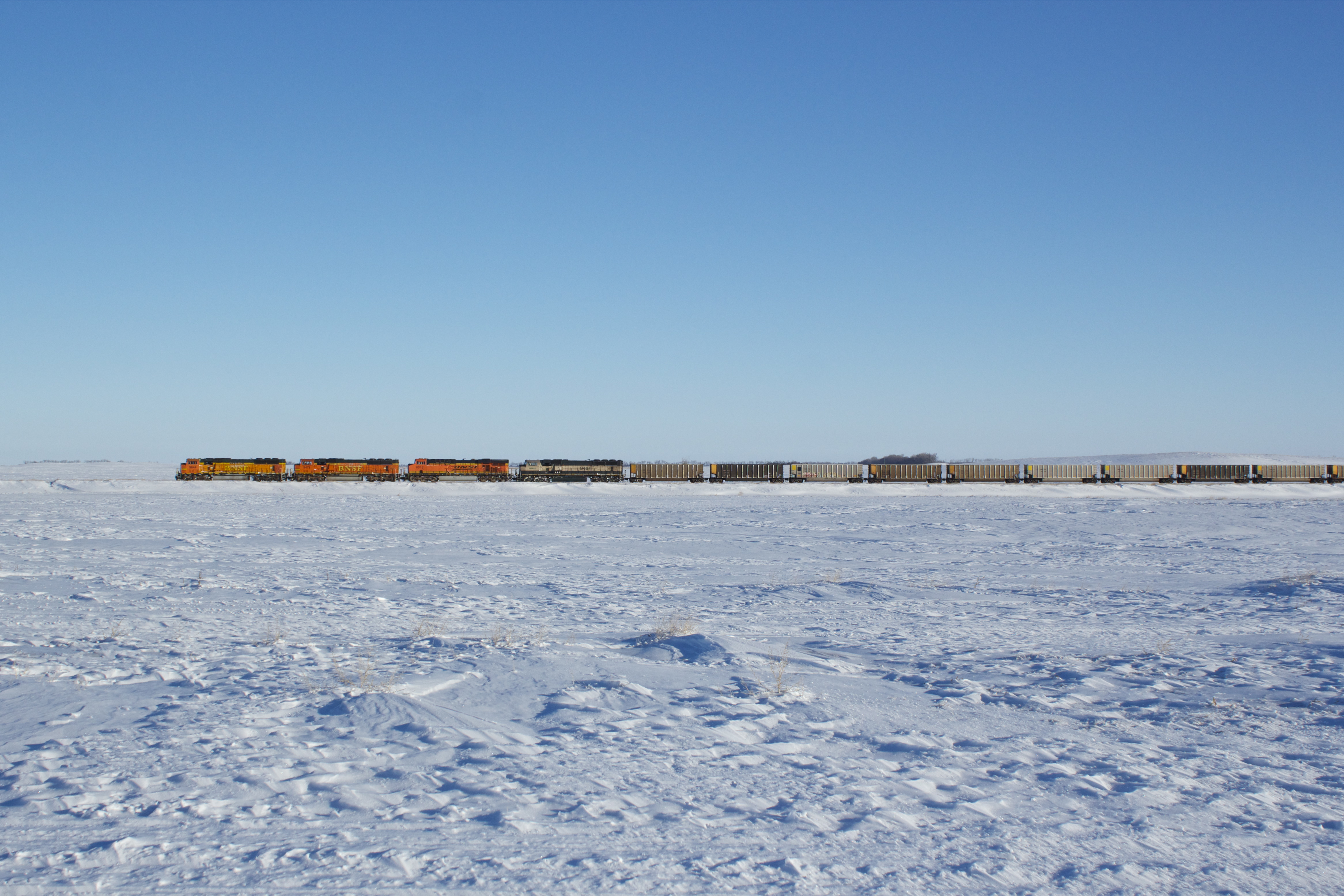
A field and a train
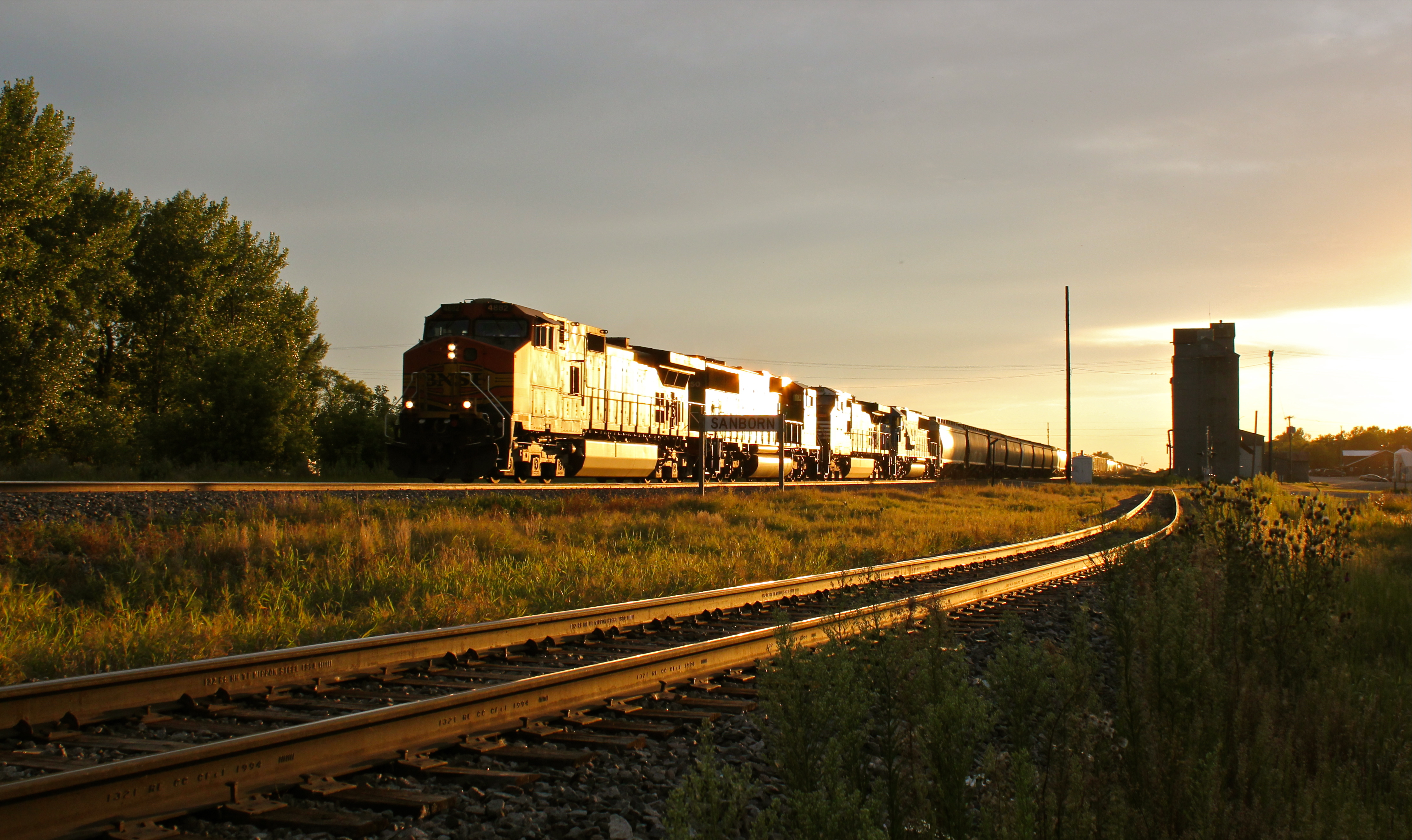
BNSF 4882
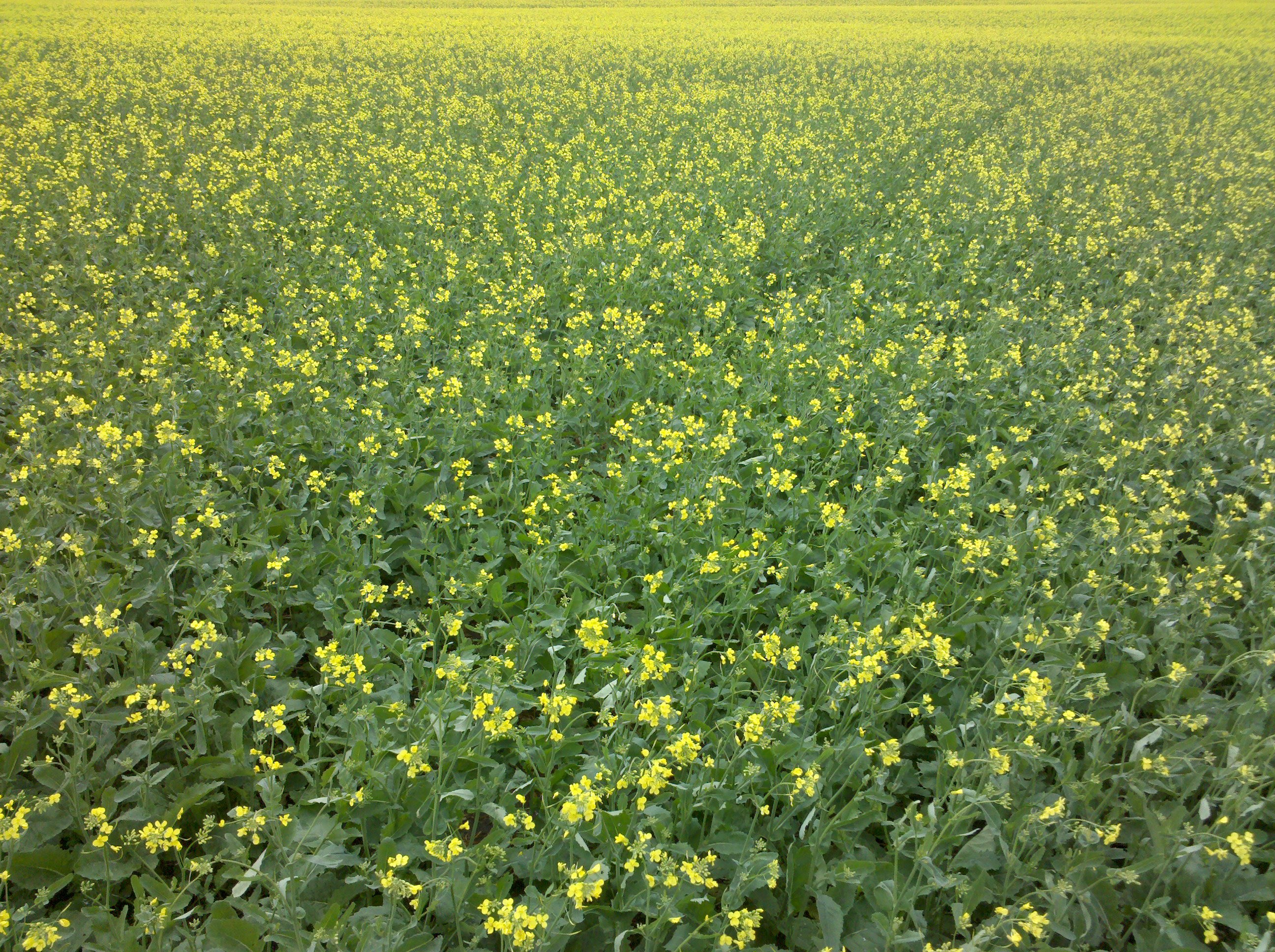
More yellow

CSXT 7550
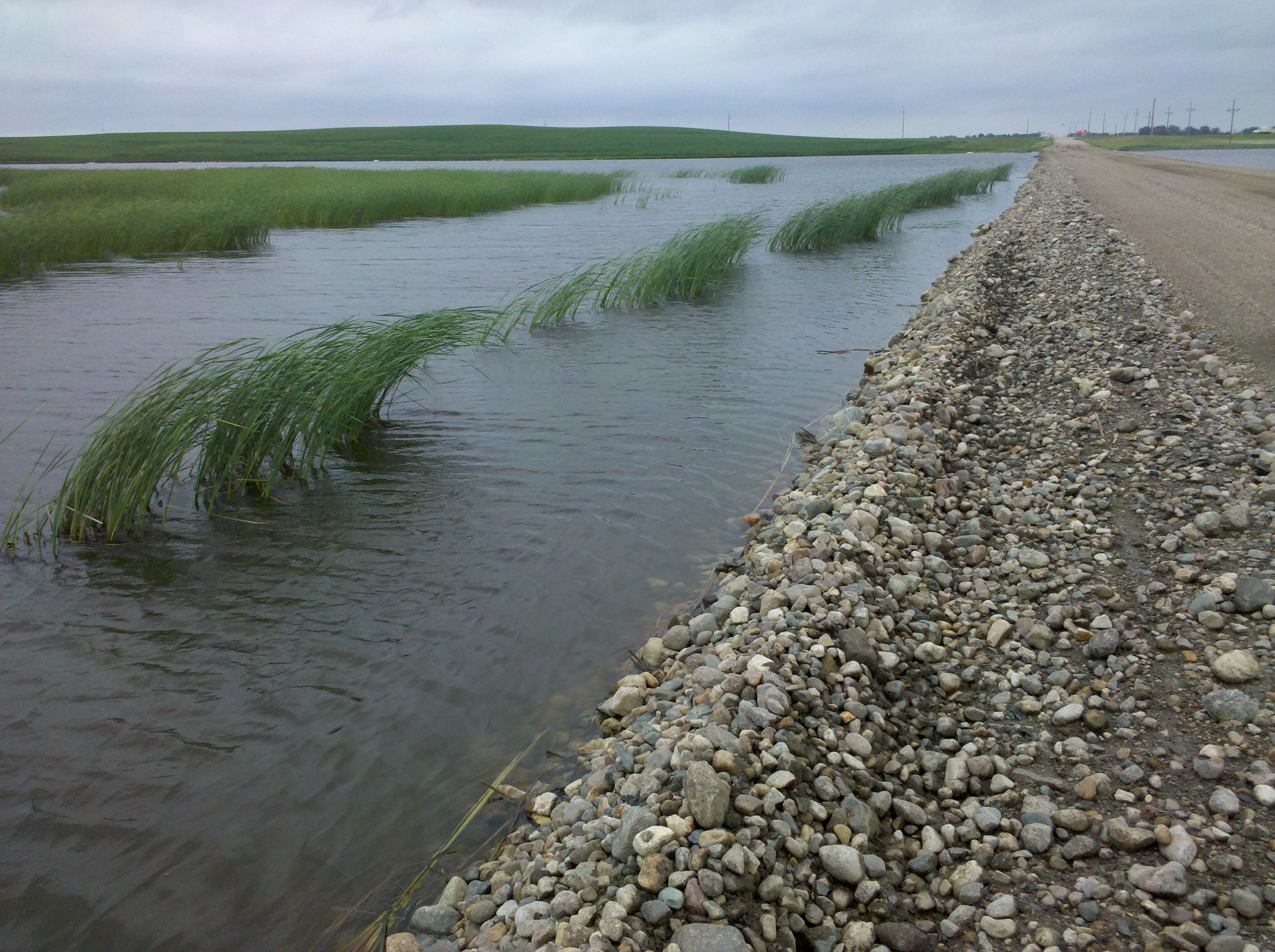
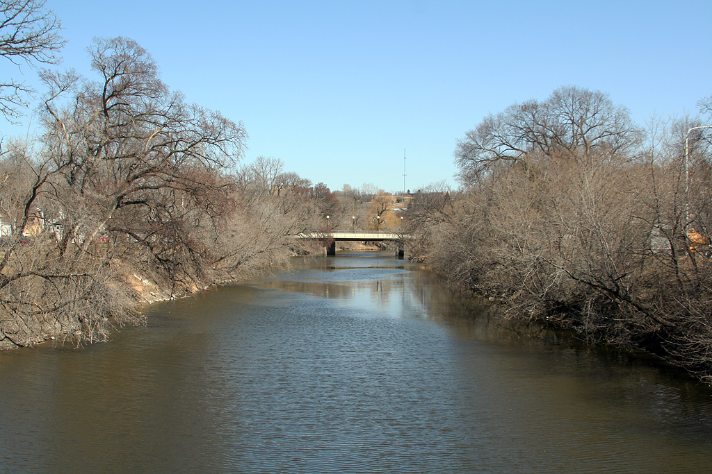
Crossing a lake
BNSF 9844
A reasonable sign
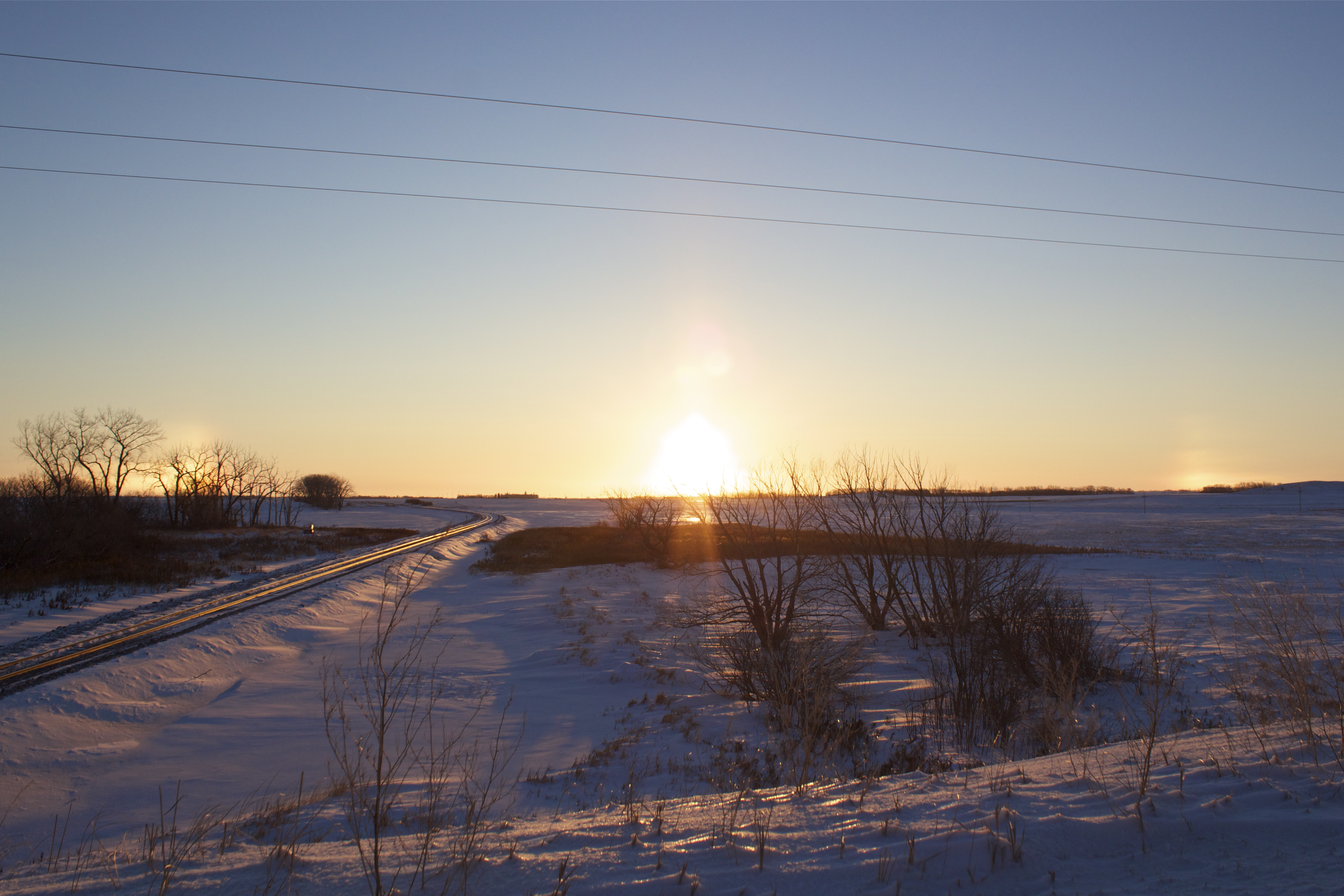
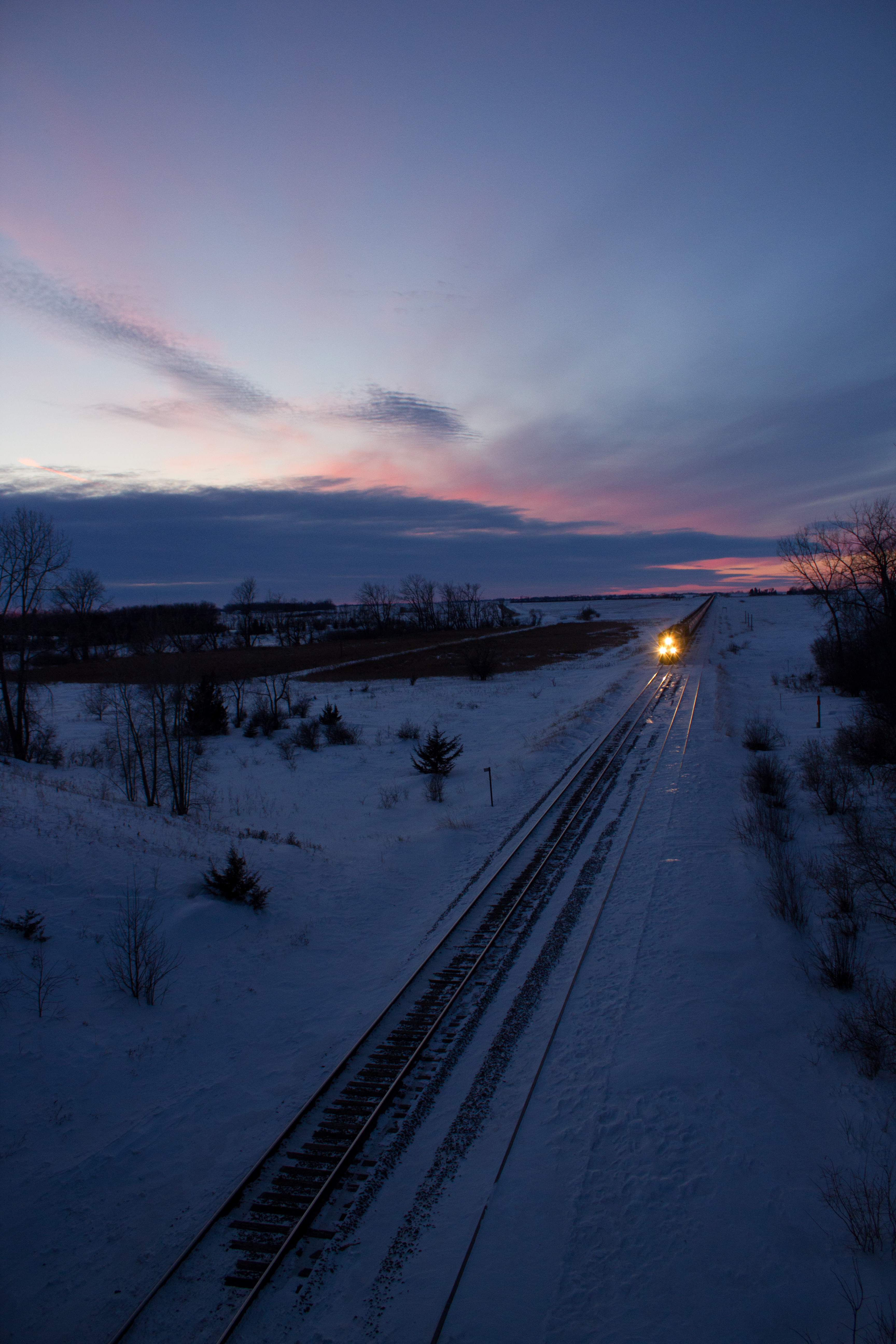
Sunrise on the Jamestown
Glacial Erratic!

CP 9350
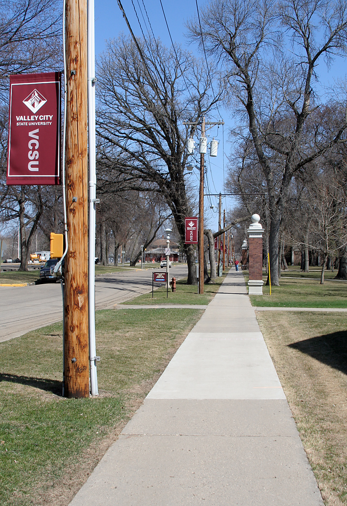
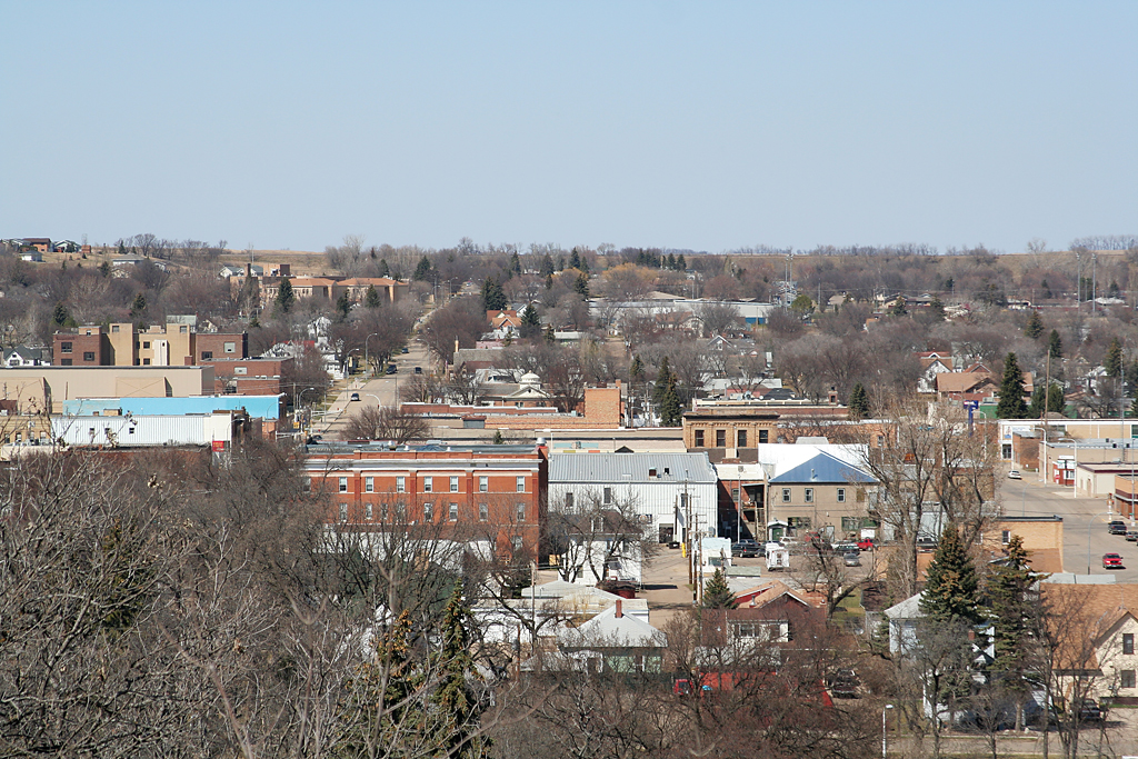
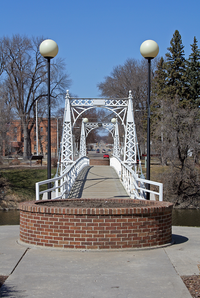
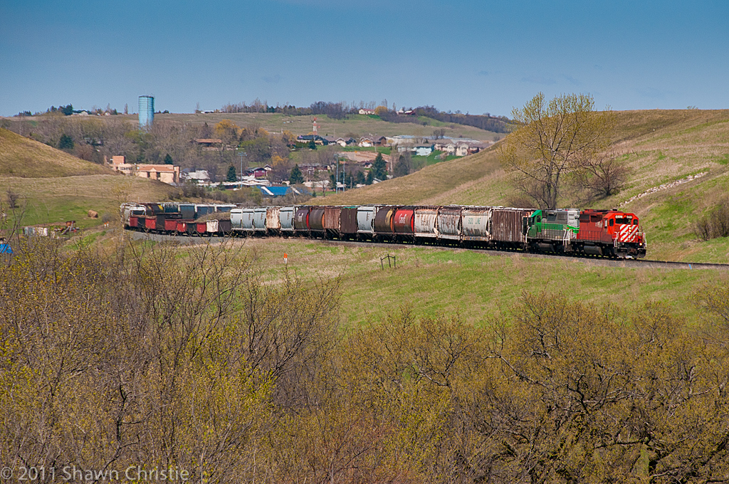
Valley City
Valley City
CP 9778 & BNSF 9880
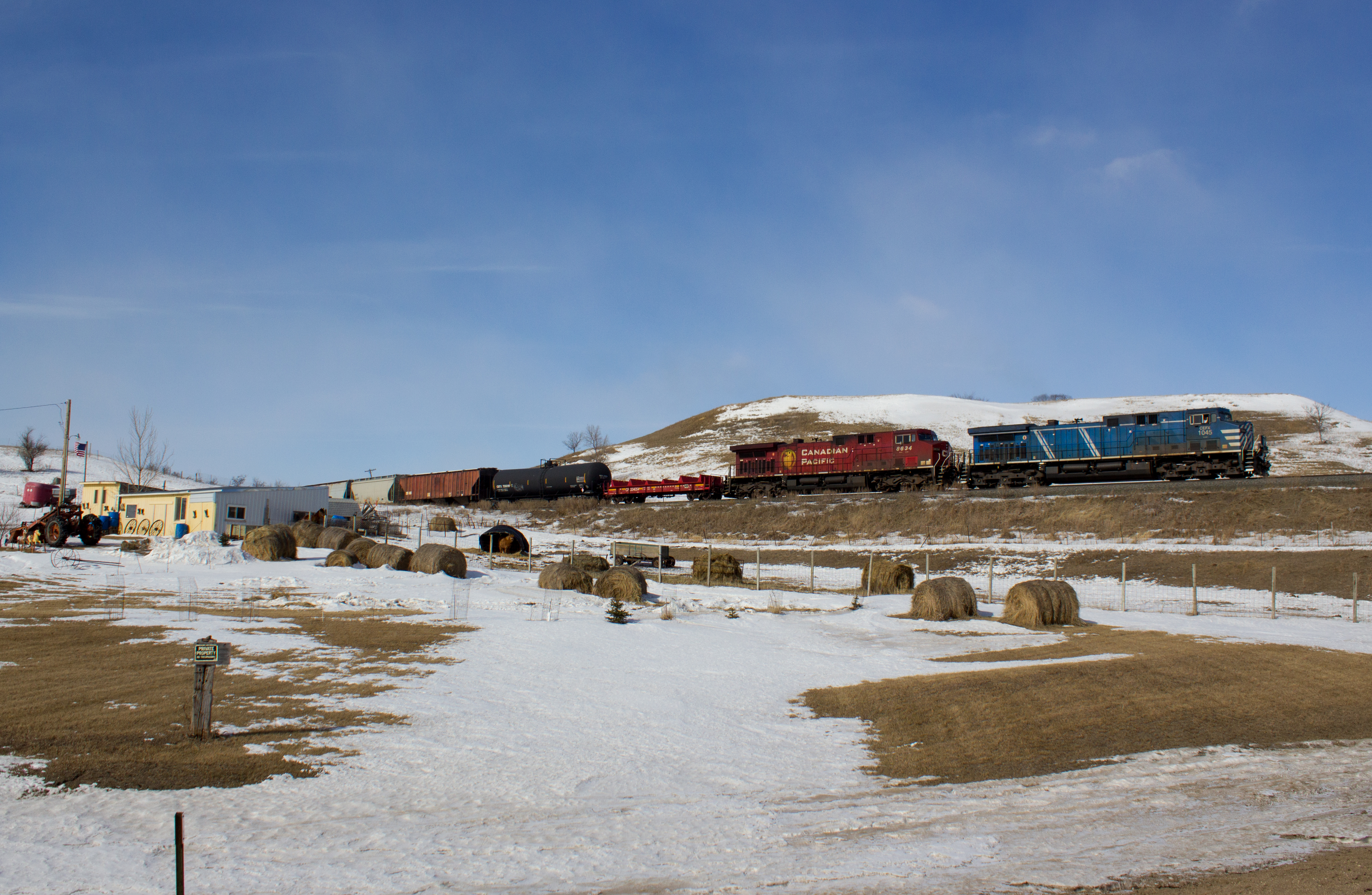
CEFX 1045

Old farmhouse
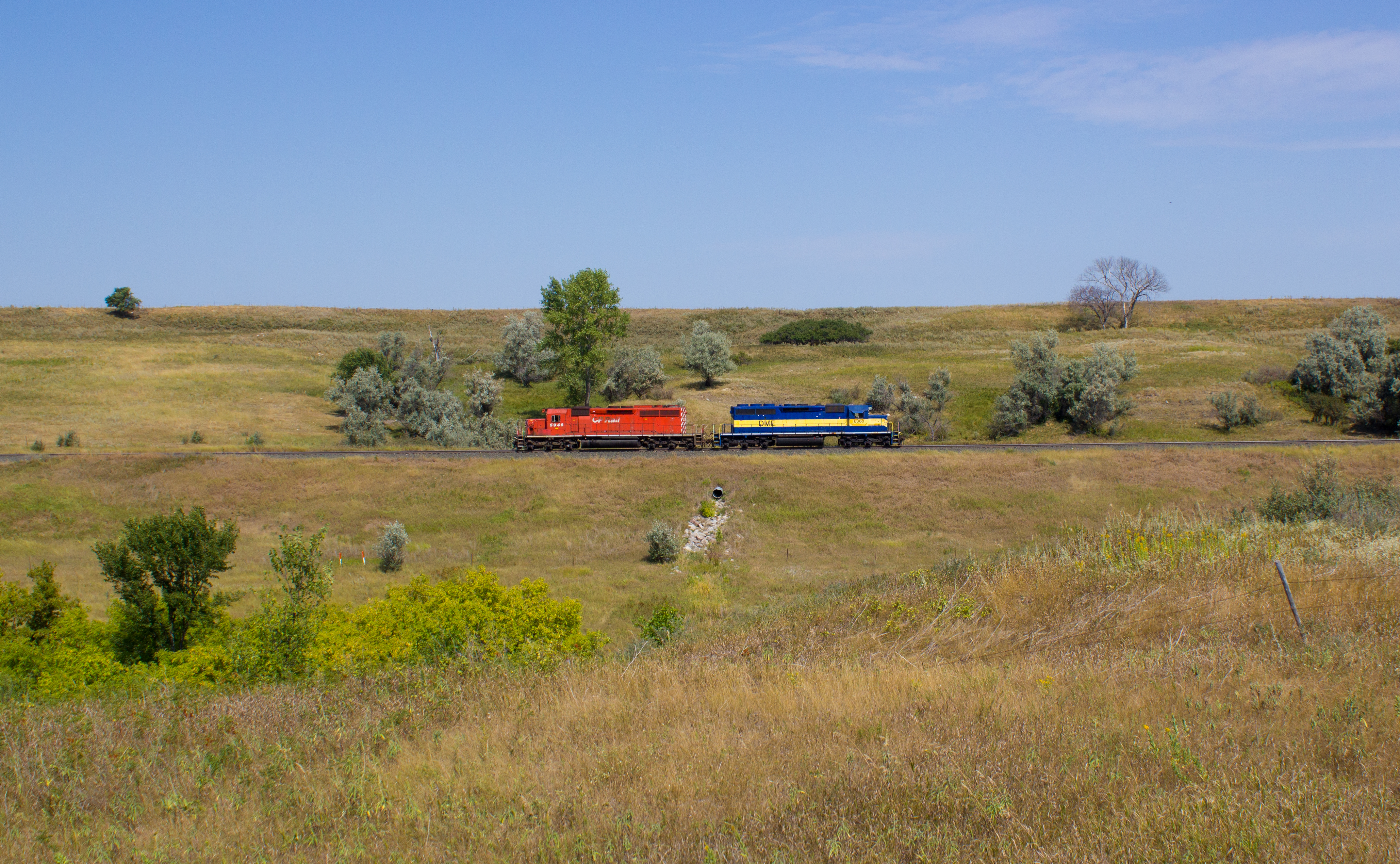
CP 5946
CP 5926 Valley City
BNSF 8751
Topographic Map of Barnes County, ND, USA
Find elevation by address:

Places in Barnes County, ND, USA:
Places near Barnes County, ND, USA:
Valley City
250 Main St E
1st St, Rogers, ND, USA
Rogers
Thordenskjold
3815 Nd-32
52nd St SE, Kathryn, ND, USA
Marion
Mill Rd, Fort Ransom, ND, USA
Griggs County
Mabel
Buffalo
14005 34th St Se
14008 40th St Se
3510 142nd Ave Se
Buffalo
Ayr
Lisbon
Ransom County
1301 Main St
Recent Searches:
- Elevation of Corso Fratelli Cairoli, 35, Macerata MC, Italy
- Elevation of Tallevast Rd, Sarasota, FL, USA
- Elevation of 4th St E, Sonoma, CA, USA
- Elevation of Black Hollow Rd, Pennsdale, PA, USA
- Elevation of Oakland Ave, Williamsport, PA, USA
- Elevation of Pedrógão Grande, Portugal
- Elevation of Klee Dr, Martinsburg, WV, USA
- Elevation of Via Roma, Pieranica CR, Italy
- Elevation of Tavkvetili Mountain, Georgia
- Elevation of Hartfords Bluff Cir, Mt Pleasant, SC, USA