Elevation of Mabel, ND, USA
Location: United States > North Dakota > Griggs County >
Longitude: -98.415827
Latitude: 47.3562419
Elevation: 447m / 1467feet
Barometric Pressure: 96KPa
Elevation Map:
Satellite Map:
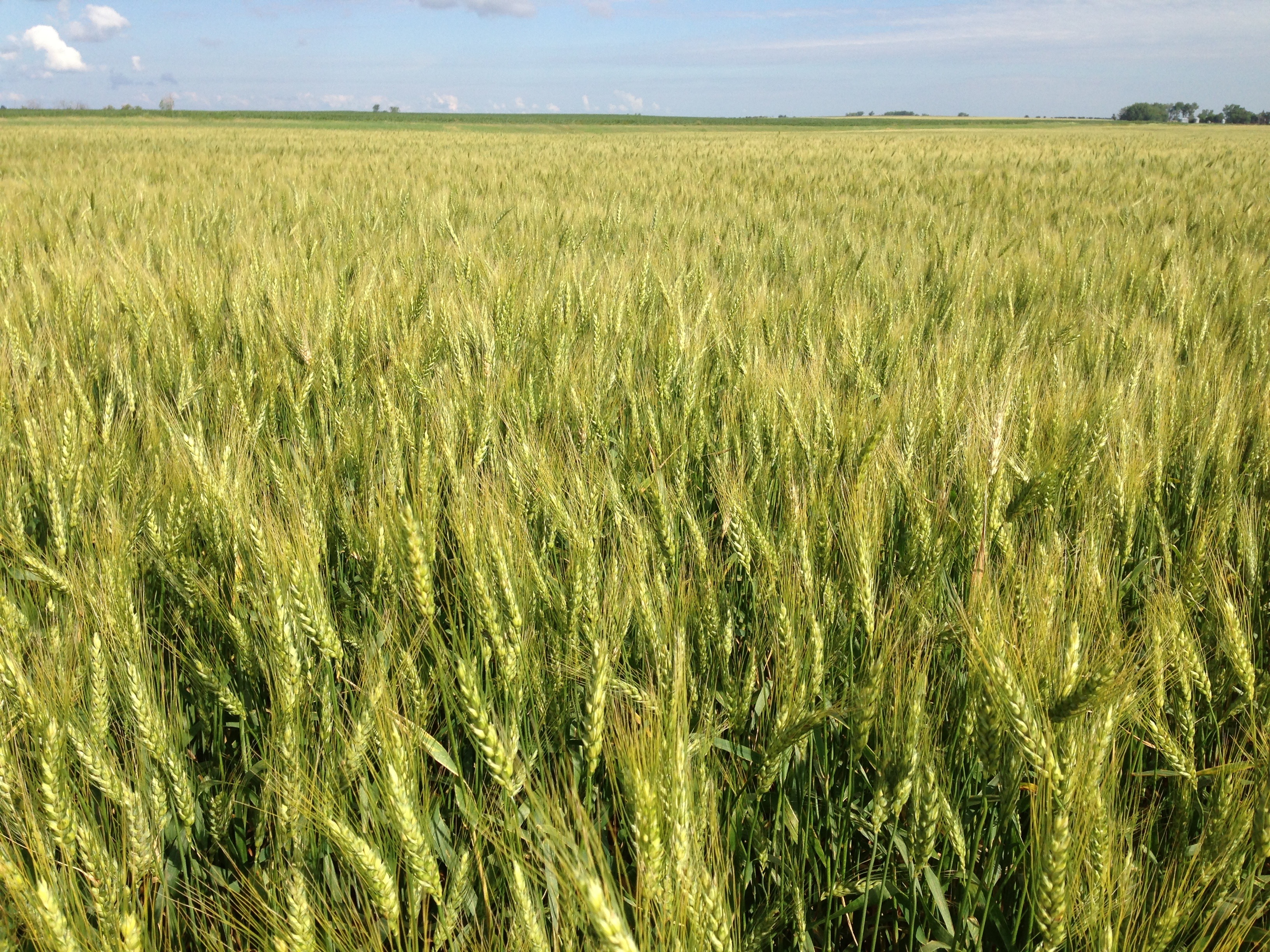
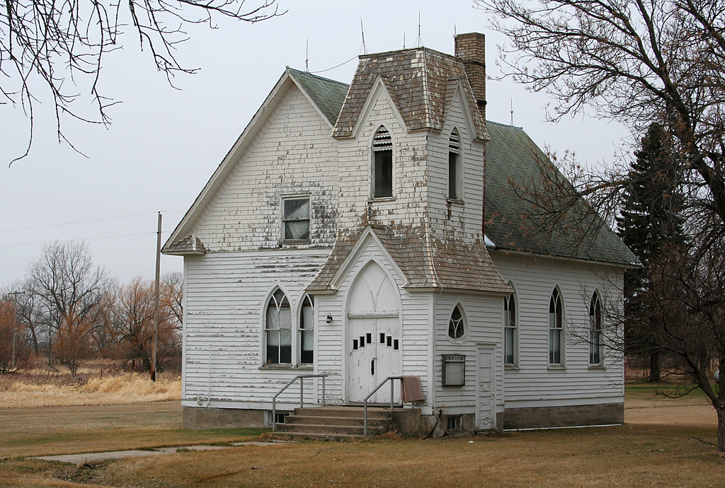
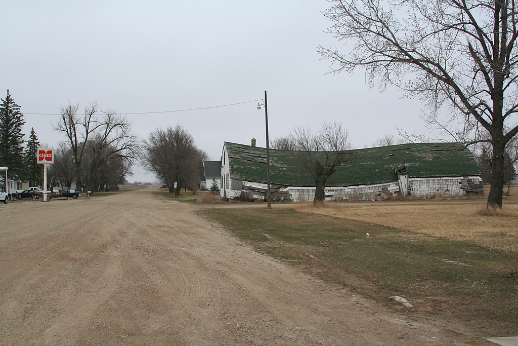
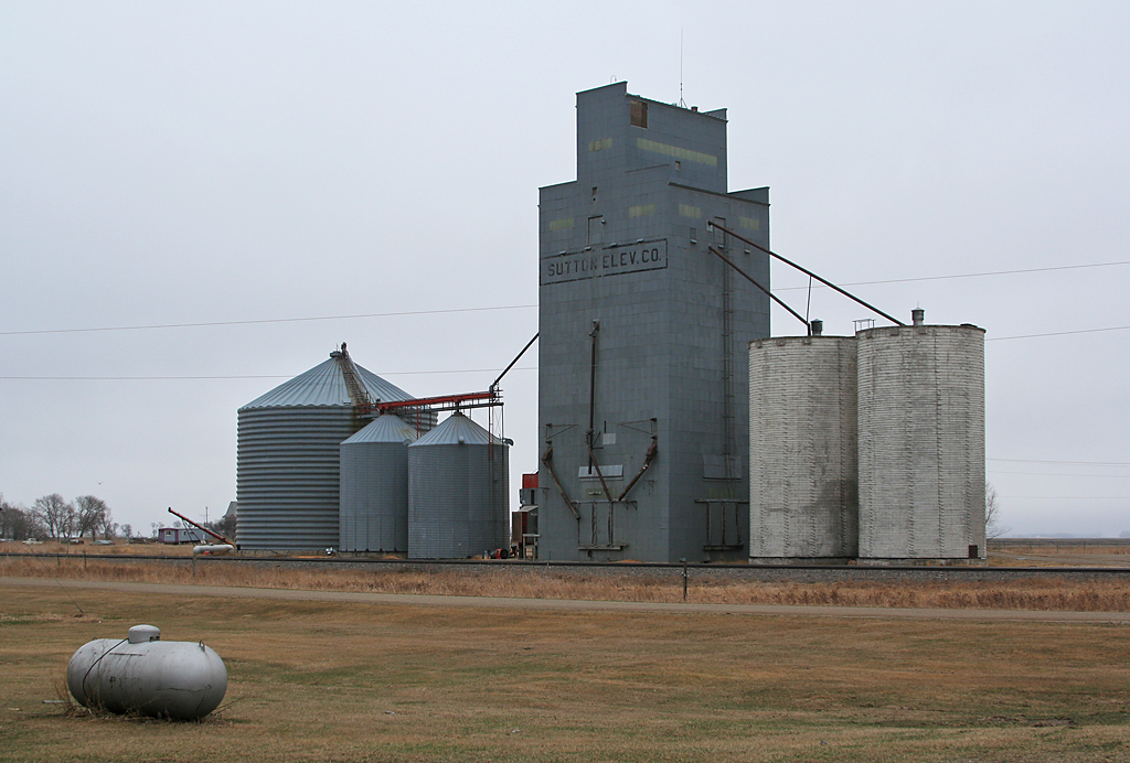
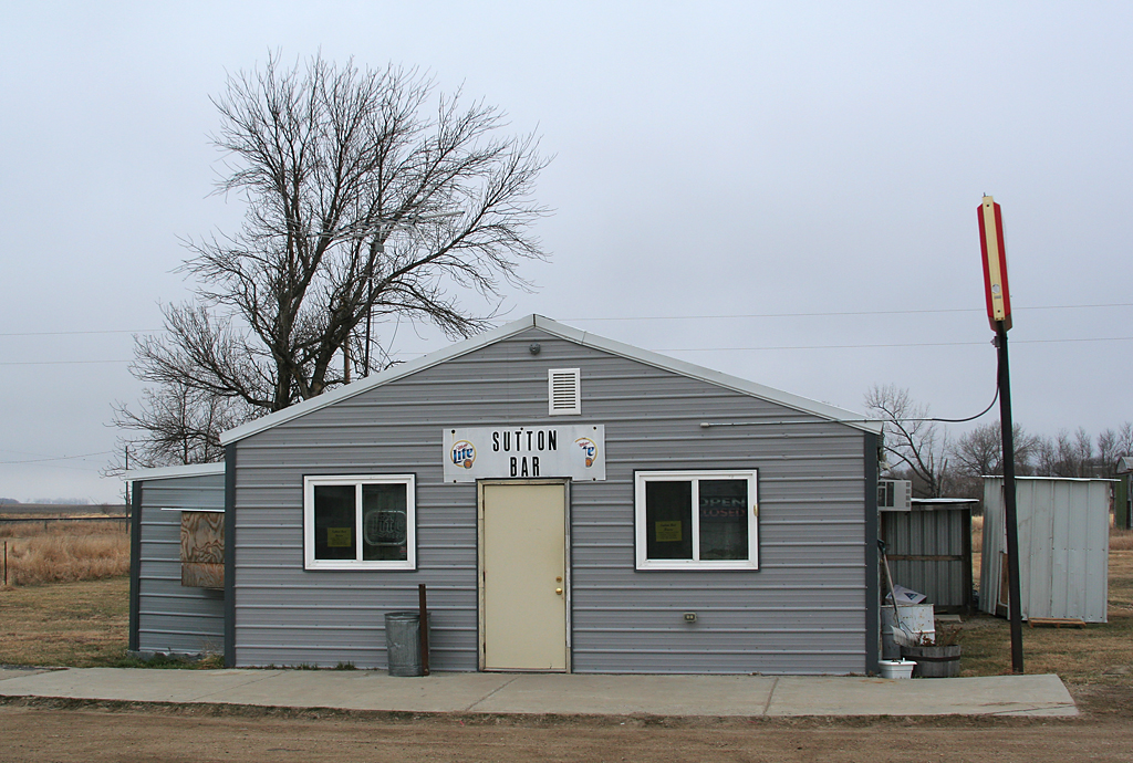
Related Photos:


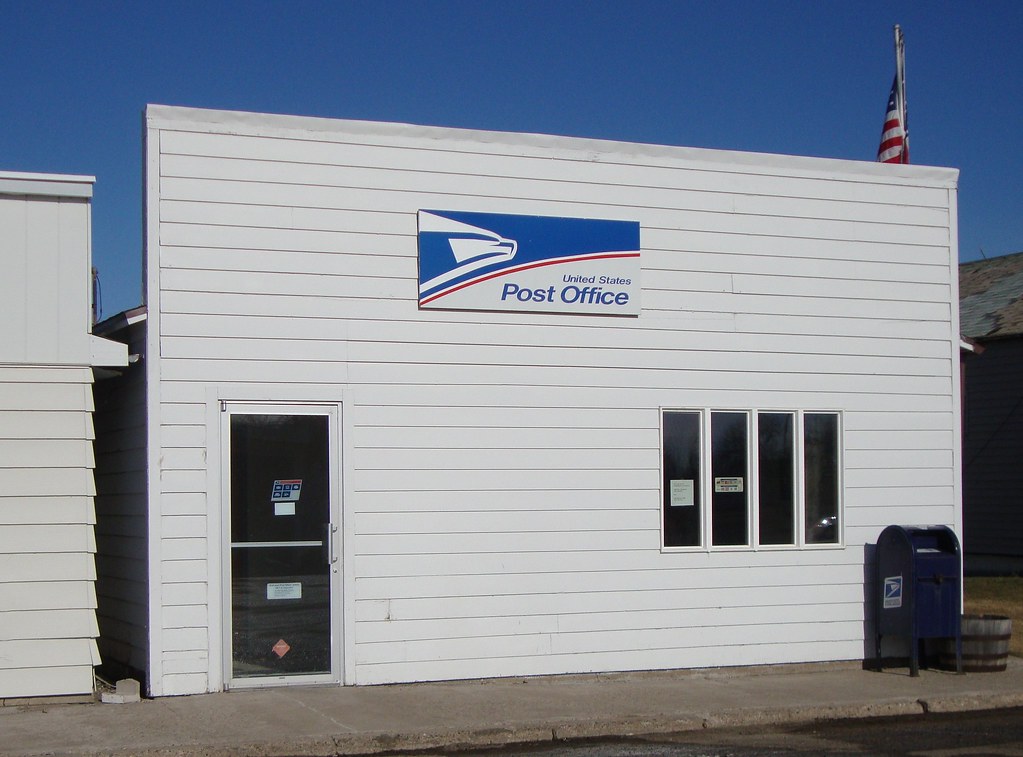
Post Office 58443 (Glenfield, North Dakota)
apr08-32
apr08-30

apr08-29
apr08-31
apr08-28
Topographic Map of Mabel, ND, USA
Find elevation by address:

Places in Mabel, ND, USA:
Places near Mabel, ND, USA:
Griggs County
Rogers
1st St, Rogers, ND, USA
Alstad Ave, Pekin, ND, USA
Barnes County
Valley City
250 Main St E
Marion
3815 Nd-32
Thordenskjold
52nd St SE, Kathryn, ND, USA
Mill Rd, Fort Ransom, ND, USA
Buffalo
Ayr
14005 34th St Se
Hatton
Clifford
60 Garfield Ave, Clifford, ND, USA
Buffalo
14008 40th St Se
Recent Searches:
- Elevation of Corso Fratelli Cairoli, 35, Macerata MC, Italy
- Elevation of Tallevast Rd, Sarasota, FL, USA
- Elevation of 4th St E, Sonoma, CA, USA
- Elevation of Black Hollow Rd, Pennsdale, PA, USA
- Elevation of Oakland Ave, Williamsport, PA, USA
- Elevation of Pedrógão Grande, Portugal
- Elevation of Klee Dr, Martinsburg, WV, USA
- Elevation of Via Roma, Pieranica CR, Italy
- Elevation of Tavkvetili Mountain, Georgia
- Elevation of Hartfords Bluff Cir, Mt Pleasant, SC, USA