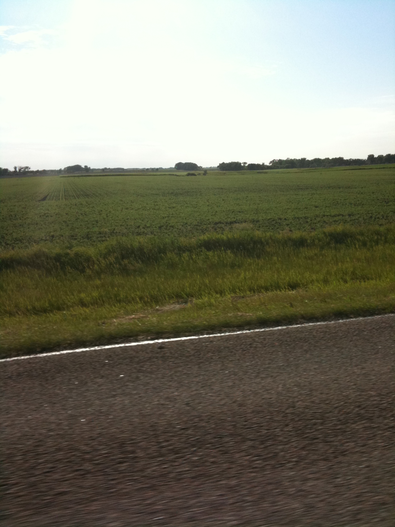
Elevation of Hatton, ND, USA
Location: United States > North Dakota > Traill County >
Longitude: -97.453422
Latitude: 47.6397087
Elevation: 328m / 1076feet
Barometric Pressure: 97KPa
Elevation Map:
Satellite Map:
Related Photos:
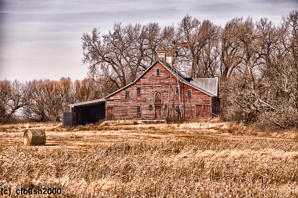
IMG_0161.JPG
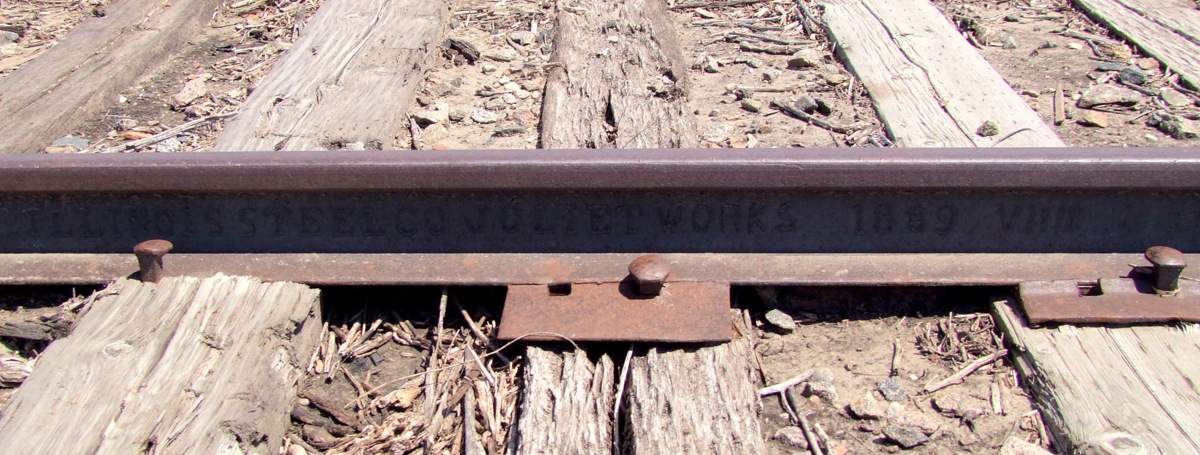
1889 rail

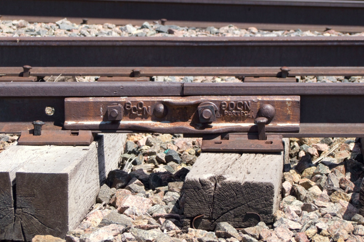
Portland JCT.

90-112 Lbs Rail Joint.
80-90 Lbs Joint
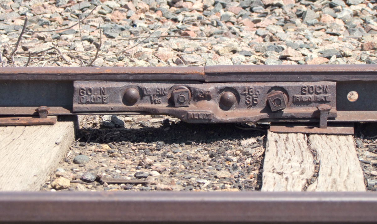
60 to 80 Lbs rail joint

1887 Rail
8 Mar 15 (1 of 1)
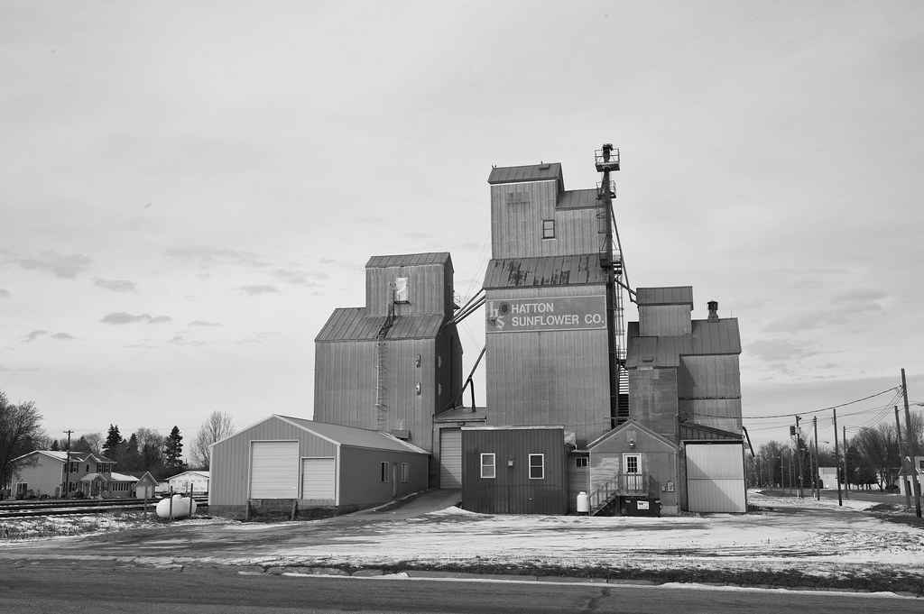
Winter sunflowers

Pure History

11-17_NoDak_12582_DSC_1845-Edit.jpg
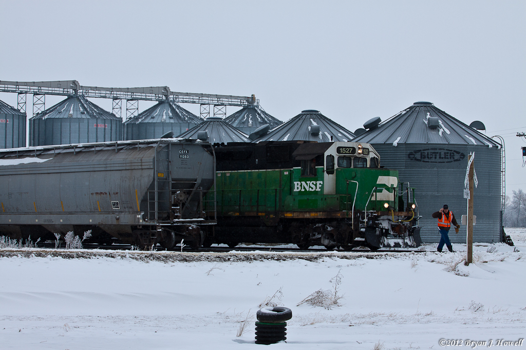
OK to Come Ahead

Hoar!

Leave A Mark.
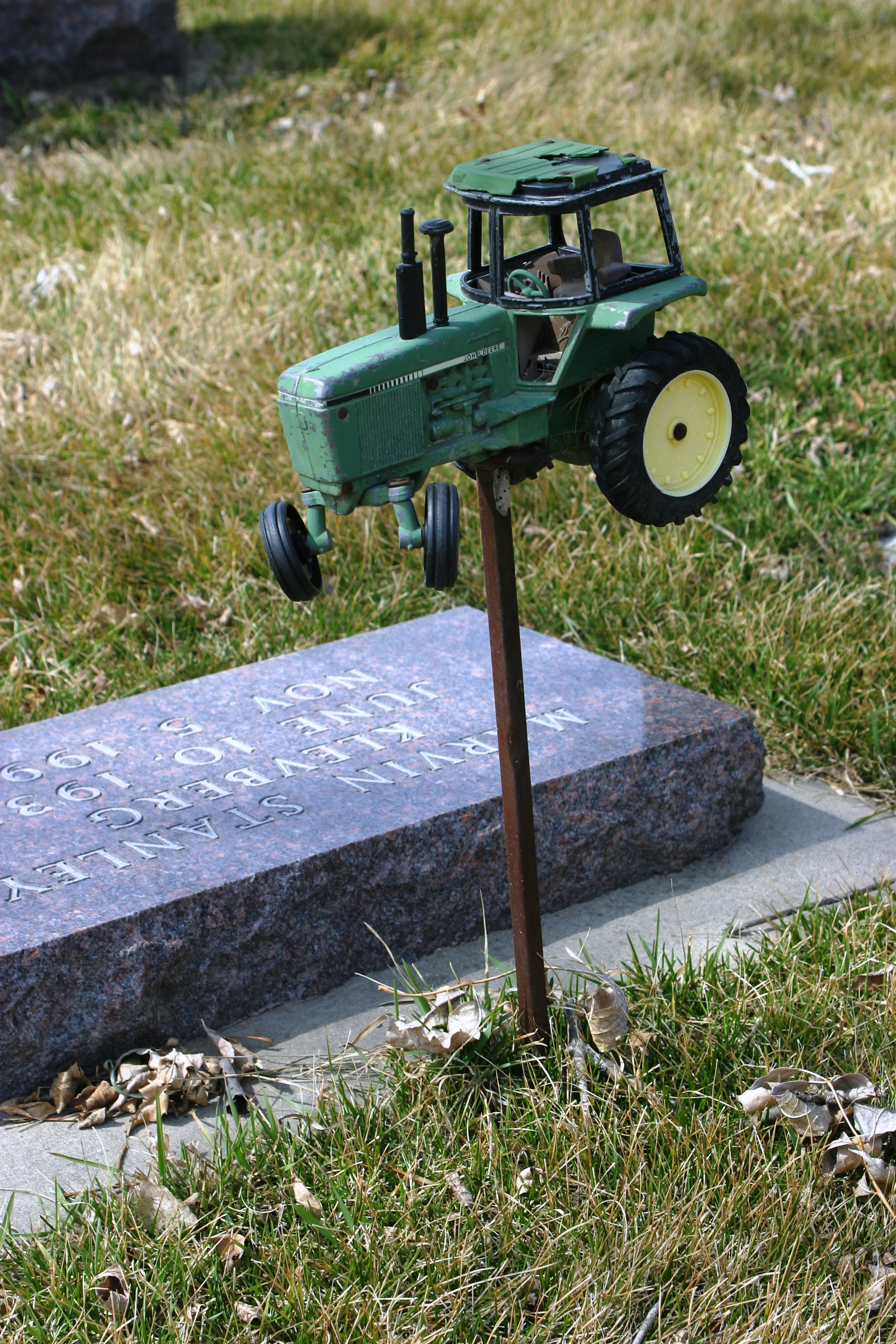
He loved his John Deere

Lutheran Church
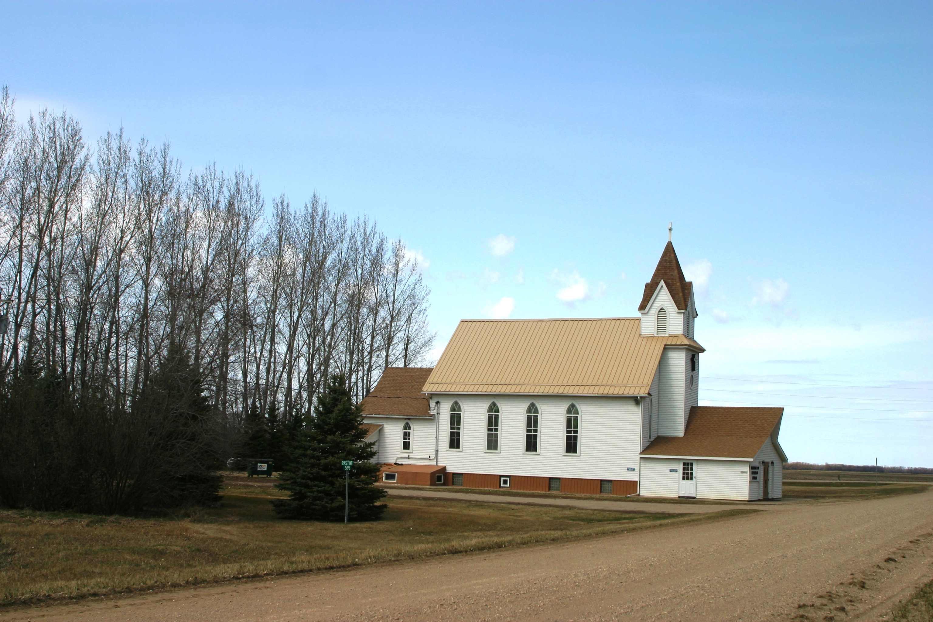
Lutheran Church

Flywheel and Brakes

Belt Drive

Each One Has a Purpose

Speed Knob
Topographic Map of Hatton, ND, USA
Find elevation by address:

Places near Hatton, ND, USA:
Portland
8th St, Portland, ND, USA
Mayville
Clifford
60 Garfield Ave, Clifford, ND, USA
Buxton
Thompson
Traill County
Walle
North Dakota 200
Hillsboro
Erie
Main Ave, Erie, ND, USA
Erie
Ayr
14578 26th St Se
Empire
Cass County
Amenia
Buffalo
Recent Searches:
- Elevation of Corso Fratelli Cairoli, 35, Macerata MC, Italy
- Elevation of Tallevast Rd, Sarasota, FL, USA
- Elevation of 4th St E, Sonoma, CA, USA
- Elevation of Black Hollow Rd, Pennsdale, PA, USA
- Elevation of Oakland Ave, Williamsport, PA, USA
- Elevation of Pedrógão Grande, Portugal
- Elevation of Klee Dr, Martinsburg, WV, USA
- Elevation of Via Roma, Pieranica CR, Italy
- Elevation of Tavkvetili Mountain, Georgia
- Elevation of Hartfords Bluff Cir, Mt Pleasant, SC, USA