Elevation of Buxton, ND, USA
Location: United States > North Dakota > Traill County >
Longitude: -97.097308
Latitude: 47.6019239
Elevation: 284m / 932feet
Barometric Pressure: 98KPa
Elevation Map:
Satellite Map:
Related Photos:
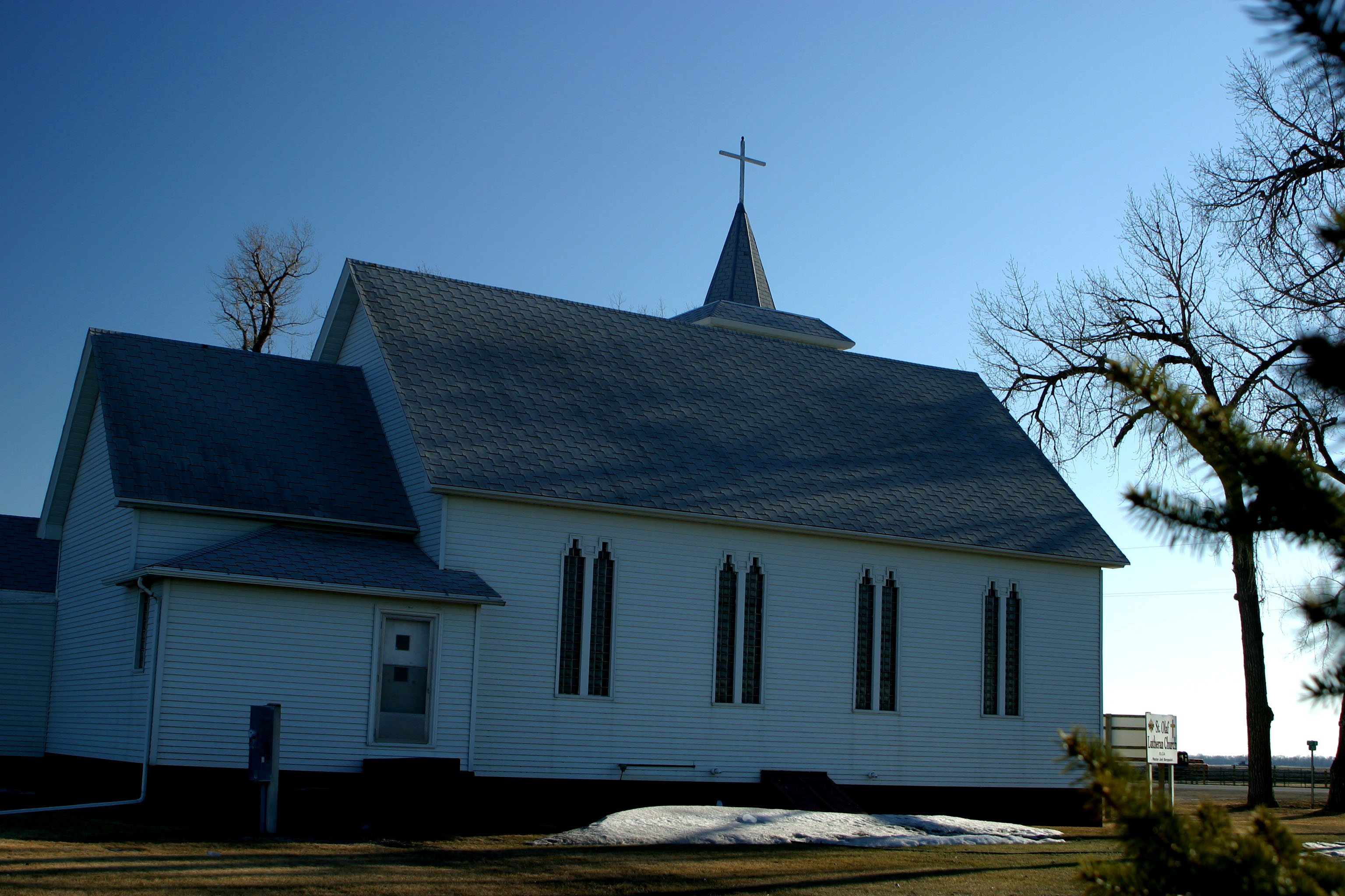
Northside of St. Olaf's

Country road, June 11
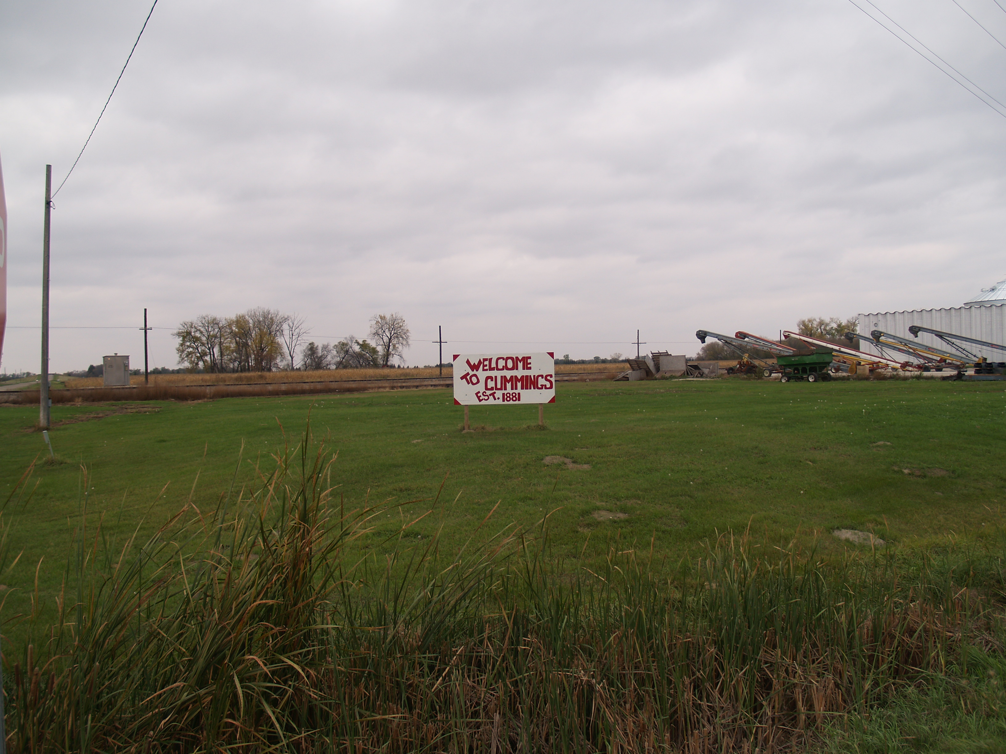
Cummings, North Dakota
Buxton, North Dakota

BNSF 2632

Border to Border 2013: Made it!
car mover

NS 1157
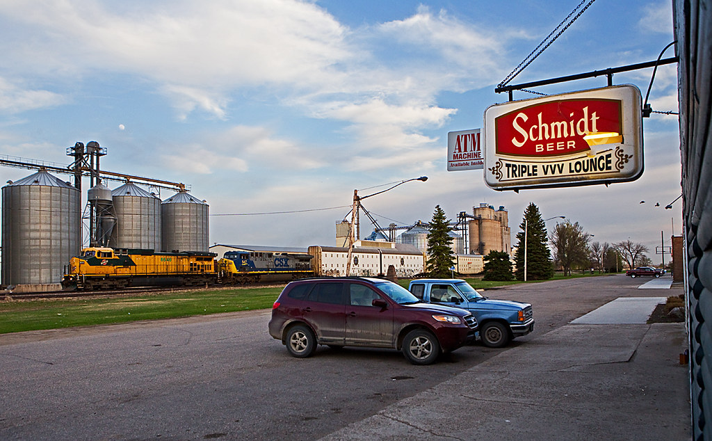
Buxton, ND
North Dakota

The good stuff

Along the road to Mayville

Prairie morning

#ndsunset
On the way south

NN - Imagination
Train Pictures-43
Topographic Map of Buxton, ND, USA
Find elevation by address:

Places near Buxton, ND, USA:
Traill County
Thompson
North Dakota 200
Hillsboro
Walle
Mayville
Portland
8th St, Portland, ND, USA
Hatton
60 Garfield Ave, Clifford, ND, USA
Clifford
Cass County
Main Ave, Erie, ND, USA
Erie
Erie
Amenia
Empire
14578 26th St Se
32nd St SE, Wheatland, ND, USA
Harmony
Recent Searches:
- Elevation of Corso Fratelli Cairoli, 35, Macerata MC, Italy
- Elevation of Tallevast Rd, Sarasota, FL, USA
- Elevation of 4th St E, Sonoma, CA, USA
- Elevation of Black Hollow Rd, Pennsdale, PA, USA
- Elevation of Oakland Ave, Williamsport, PA, USA
- Elevation of Pedrógão Grande, Portugal
- Elevation of Klee Dr, Martinsburg, WV, USA
- Elevation of Via Roma, Pieranica CR, Italy
- Elevation of Tavkvetili Mountain, Georgia
- Elevation of Hartfords Bluff Cir, Mt Pleasant, SC, USA