Elevation of Sutton, ND, USA
Location: United States > North Dakota > Griggs County > Mabel >
Longitude: -98.439184
Latitude: 47.4020021
Elevation: 448m / 1470feet
Barometric Pressure: 96KPa
Elevation Map:
Satellite Map:
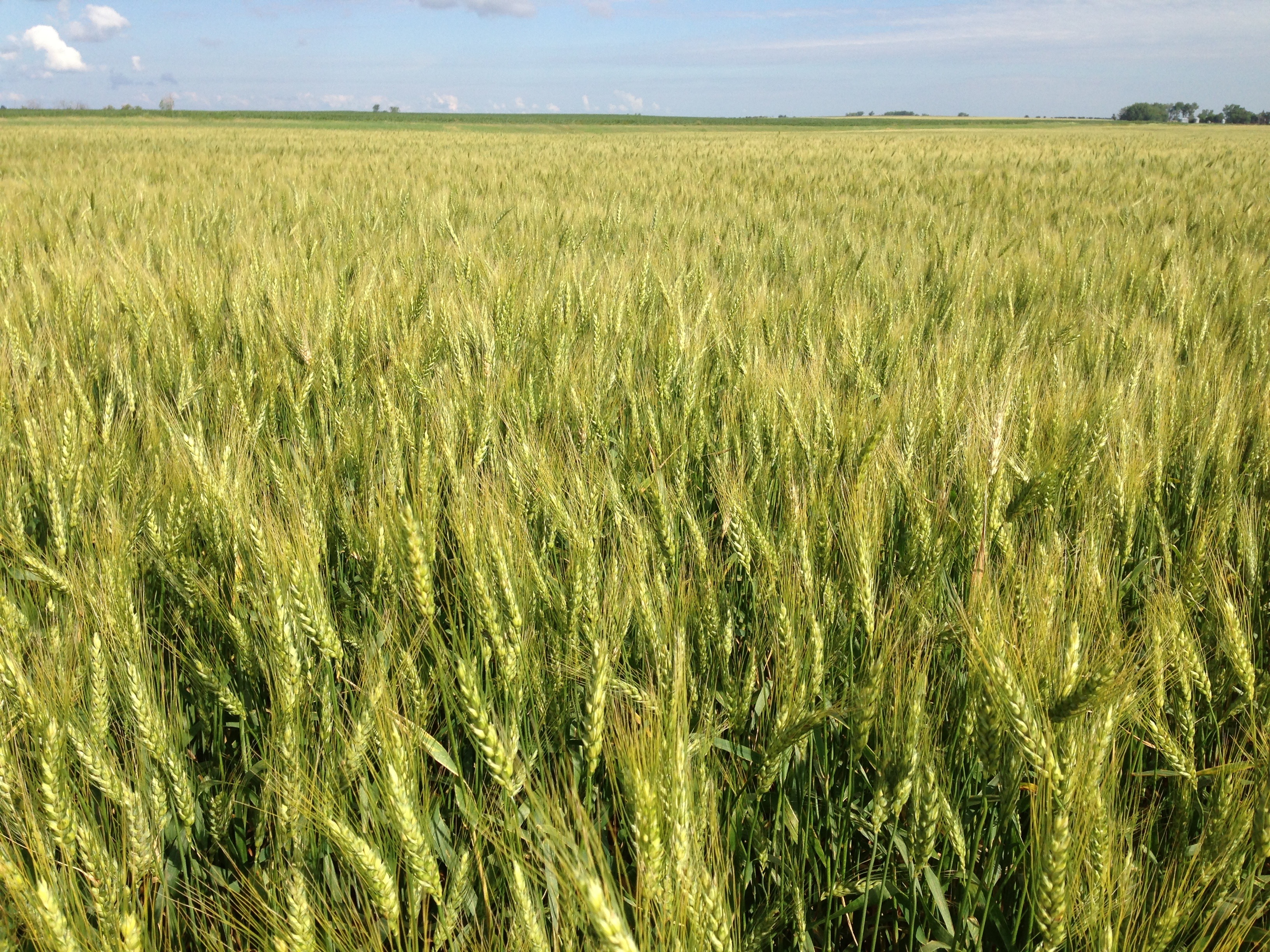
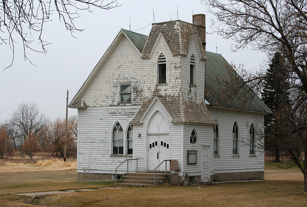
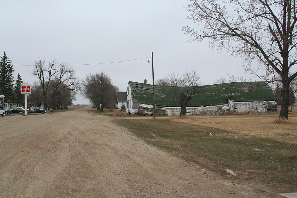
Related Photos:


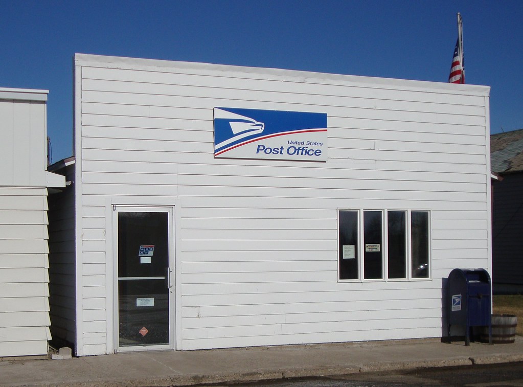
Post Office 58443 (Glenfield, North Dakota)
apr08-32
apr08-30

apr08-29
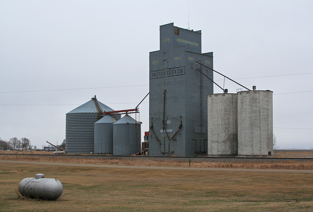
apr08-31
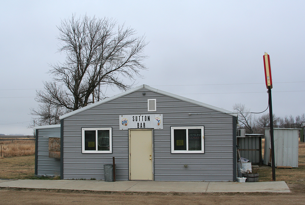
apr08-28
Topographic Map of Sutton, ND, USA
Find elevation by address:

Places near Sutton, ND, USA:
Center St, Wimbledon, ND, USA
Wimbledon
6 Nd-9
8919 Nd-9
Gray
E Lake County Rd, Wimbledon, ND, USA
Foster County
3069 83 1/2 Ave Se
Eddy County
7647 24th St Se
Jamestown
Hidden
Ypsilanti
Melville, ND, USA
Eldridge
Ypsilanti
Eldridge
Main Ave S, Eldridge, ND, USA
Carrington
Stutsman County
Recent Searches:
- Elevation of Corso Fratelli Cairoli, 35, Macerata MC, Italy
- Elevation of Tallevast Rd, Sarasota, FL, USA
- Elevation of 4th St E, Sonoma, CA, USA
- Elevation of Black Hollow Rd, Pennsdale, PA, USA
- Elevation of Oakland Ave, Williamsport, PA, USA
- Elevation of Pedrógão Grande, Portugal
- Elevation of Klee Dr, Martinsburg, WV, USA
- Elevation of Via Roma, Pieranica CR, Italy
- Elevation of Tavkvetili Mountain, Georgia
- Elevation of Hartfords Bluff Cir, Mt Pleasant, SC, USA