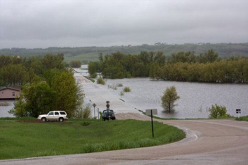
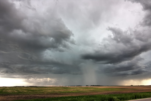
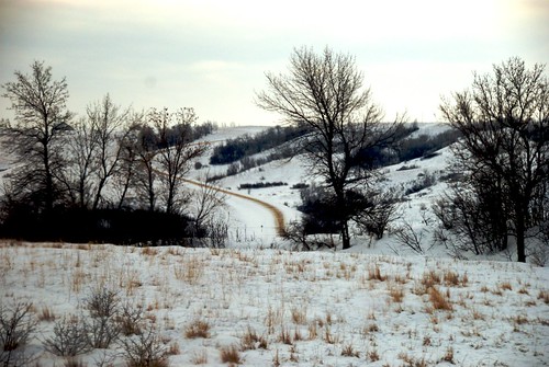
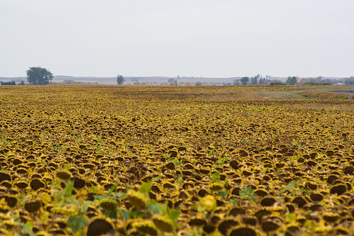
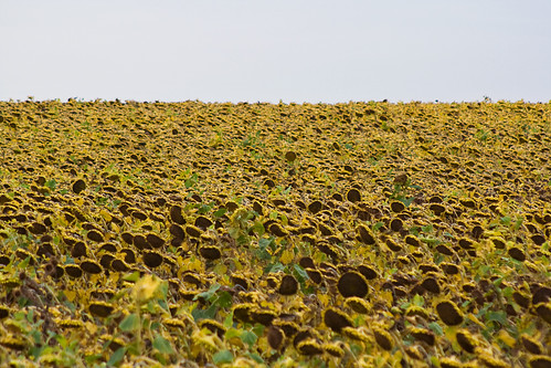
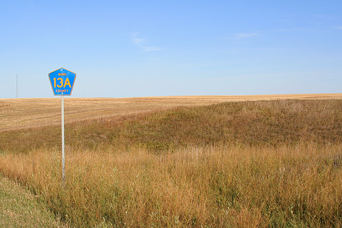
Elevation map of Ward County, ND, USA
Location: United States > North Dakota >
Longitude: -101.58052
Latitude: 48.2147451
Elevation: 616m / 2021feet
Barometric Pressure: 94KPa
Related Photos:
Topographic Map of Ward County, ND, USA
Find elevation by address:

Places in Ward County, ND, USA:
Places near Ward County, ND, USA:
Burlington
Old Settlers Park
318 1st Ave
Harrison
2626 W Burdick Expy
107 20th St Nw
1901 1st Ave Sw
Minot, ND, USA
Minot State University
Days Inn By Wyndham Minot
12117 16th St Sw
Corner Express/tunnel Of Suds
205 27th Ave Nw
Minot
Minot Air Force Base
1325 27th St Se
401 Hill St
Pullen Farms
Parshall
Renville County
Recent Searches:
- Elevation of Corso Fratelli Cairoli, 35, Macerata MC, Italy
- Elevation of Tallevast Rd, Sarasota, FL, USA
- Elevation of 4th St E, Sonoma, CA, USA
- Elevation of Black Hollow Rd, Pennsdale, PA, USA
- Elevation of Oakland Ave, Williamsport, PA, USA
- Elevation of Pedrógão Grande, Portugal
- Elevation of Klee Dr, Martinsburg, WV, USA
- Elevation of Via Roma, Pieranica CR, Italy
- Elevation of Tavkvetili Mountain, Georgia
- Elevation of Hartfords Bluff Cir, Mt Pleasant, SC, USA
