Elevation map of Douglas County, OR, USA
Location: United States > Oregon >
Longitude: -123.24923
Latitude: 43.1260694
Elevation: 614m / 2014feet
Barometric Pressure: 94KPa
Elevation Map:
Satellite Map:
Related Photos:

Neighborhood Views 001

Sunroof View

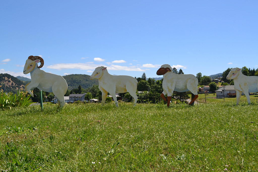
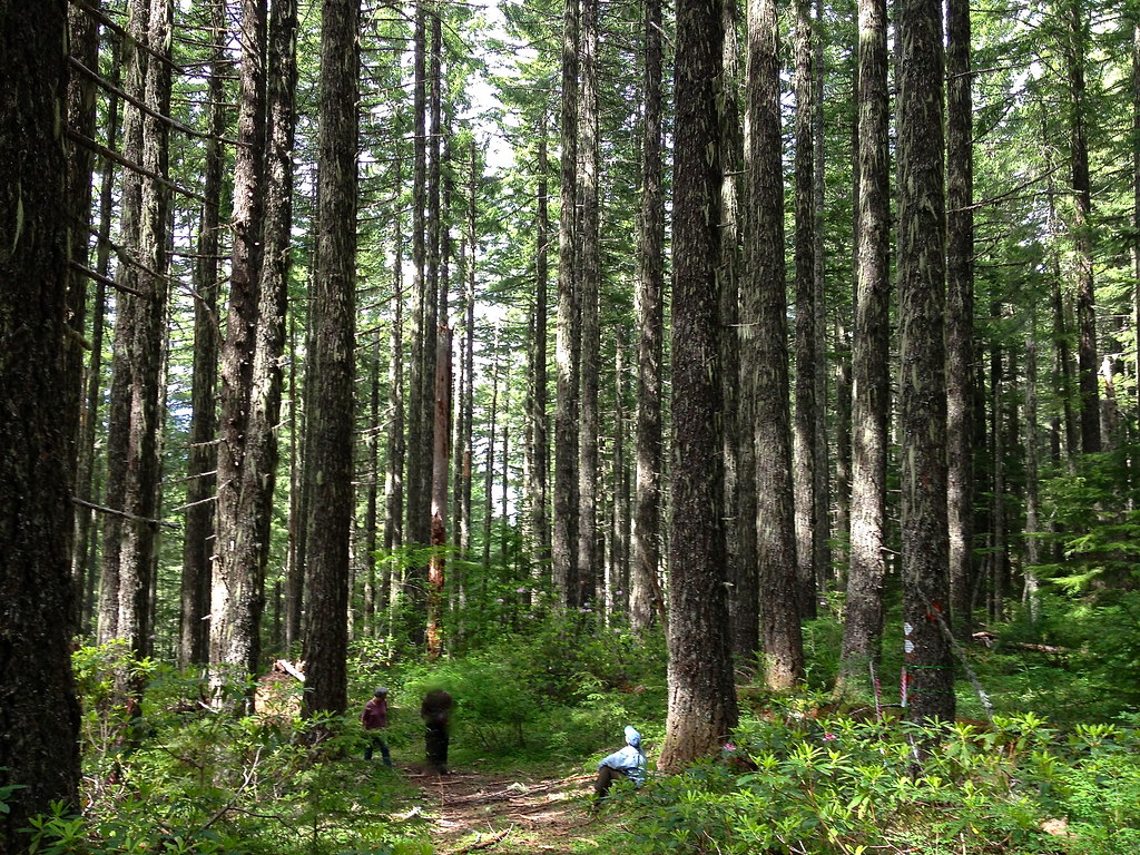
Battle-Ready Cattle

Brown Bear

Up, Close & Personal

Convicted: Chapter 3

East African Crowned Crane

Booo to you. And to your wife.

Nature's own way of saying f**k you

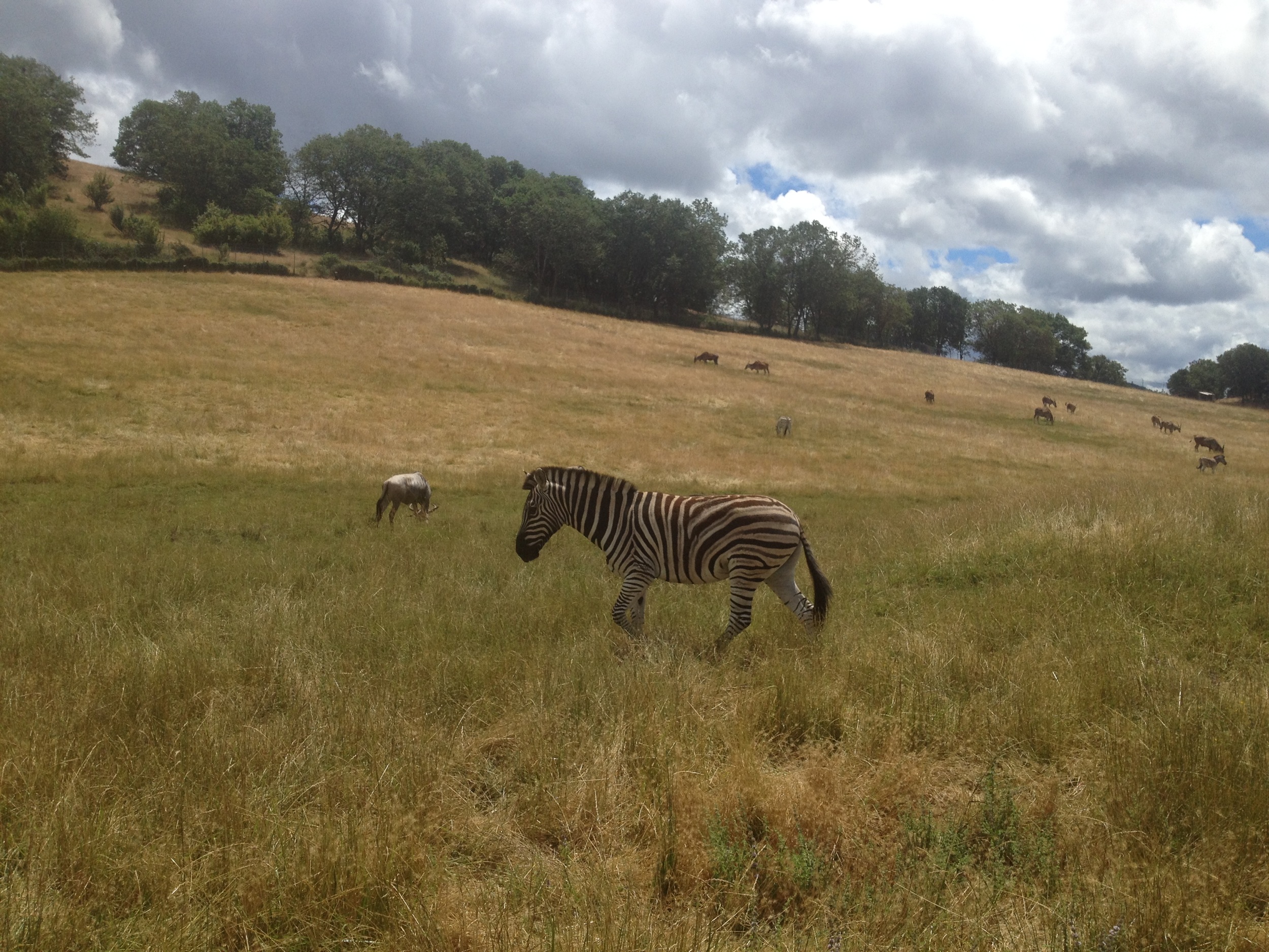
Beauty is in its stripes

Emu Part 2

Neighborhood Views 010

Read & Write store - DSC04350
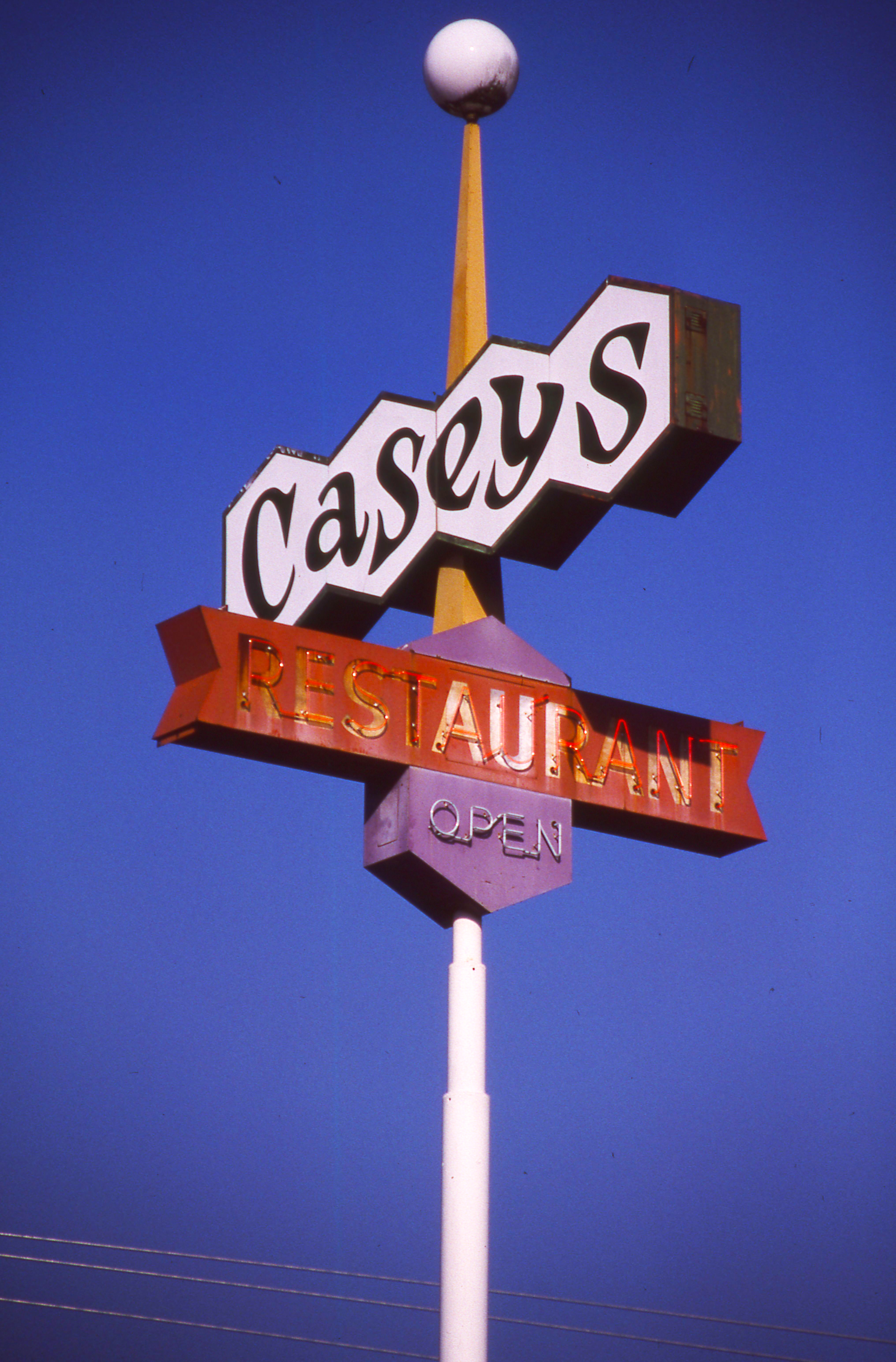
Day 245/365 - Casey's Restaurant

Another view of the roses in a trailer.

Run Along

A view declining
Krone Lane home

View from the Loo

My first 4x5 a RHS camera

Remember...Forever

Giraffe at Wildlife Safari

King Lion
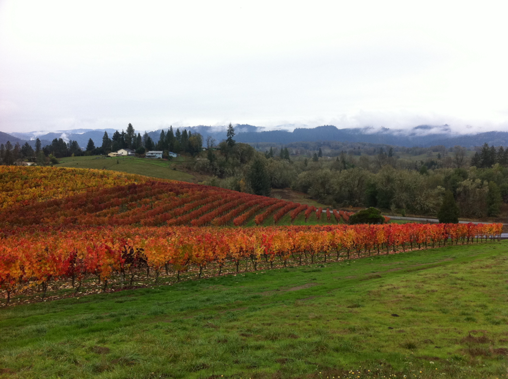
Abacela I
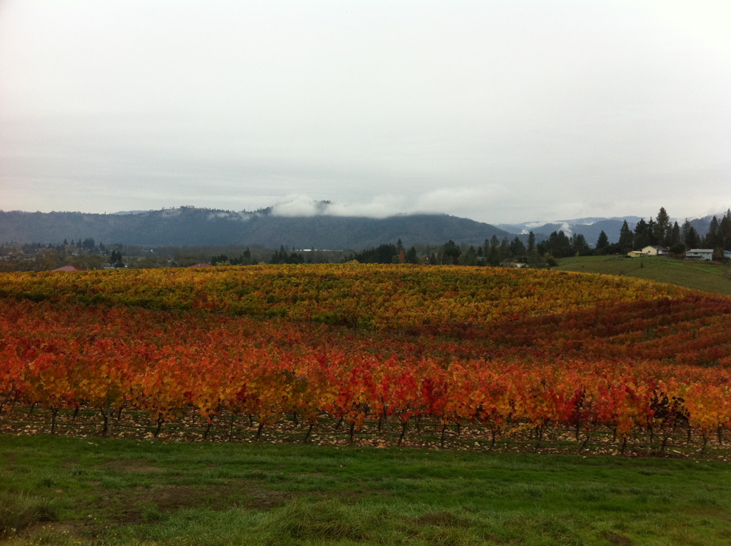
Abacela II
Abacela III

Just a rhino, in the road.
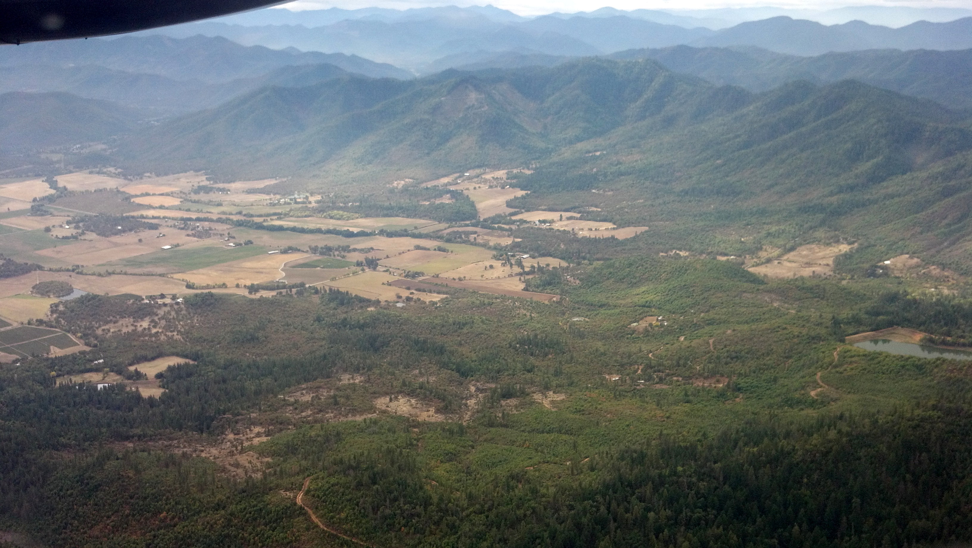
Oregon - Wildlife Safari

IMG_1755.JPG
Camera Roll-321
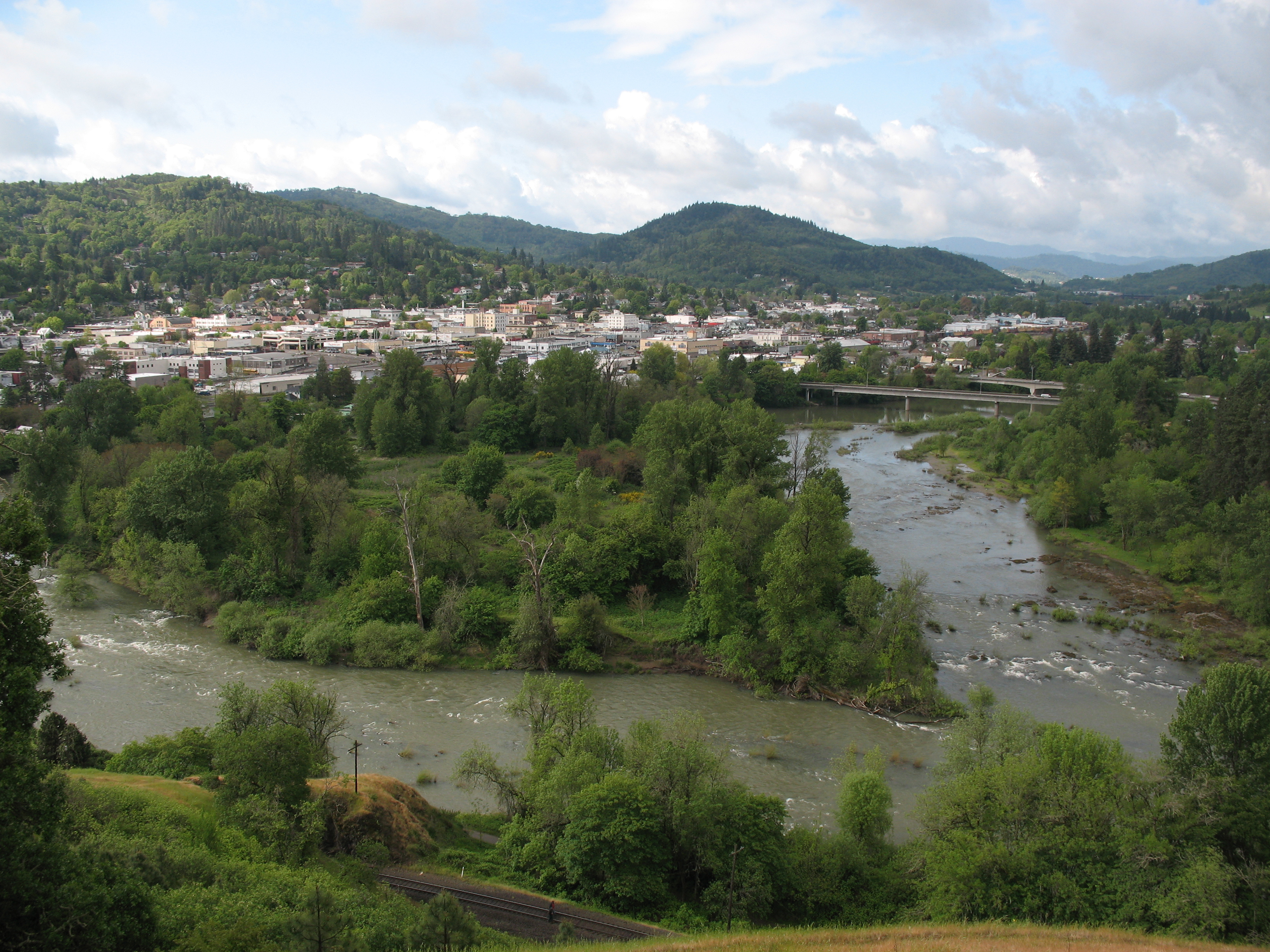
Roseburg, OR

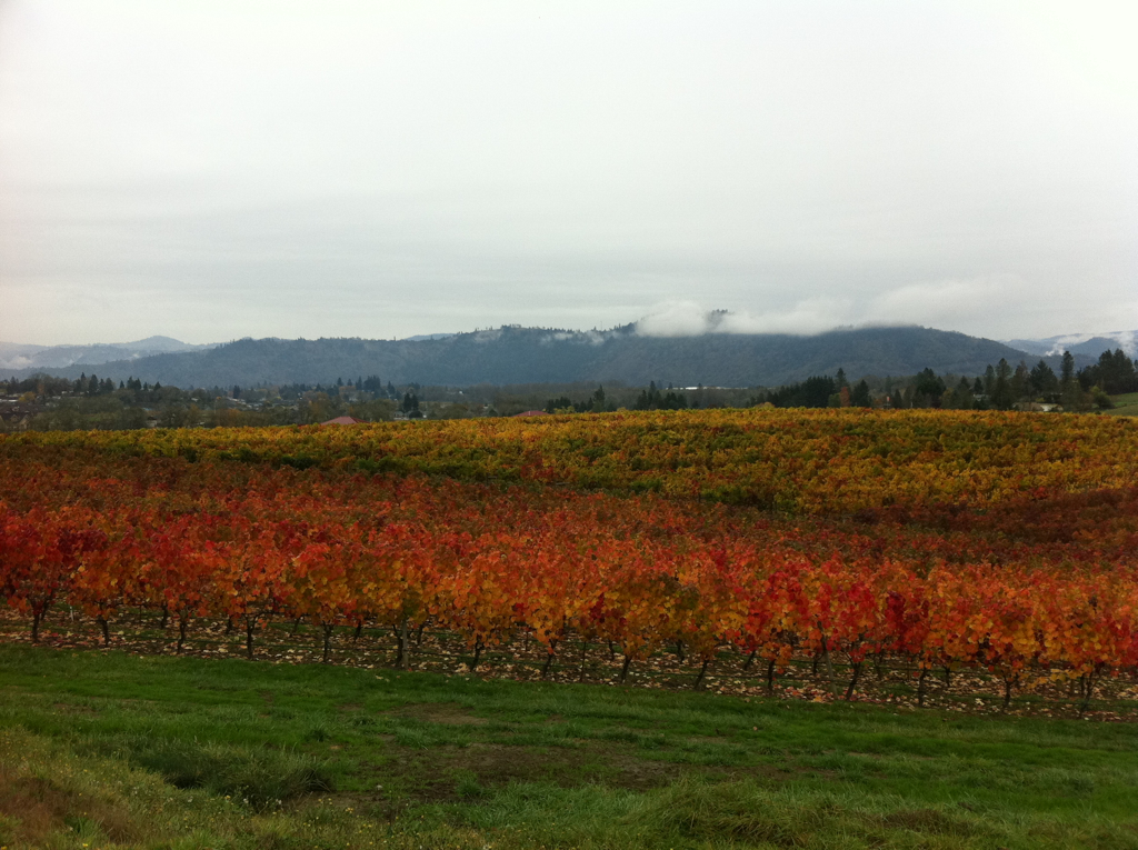
Spring Row
Noah's Ark Restaurant
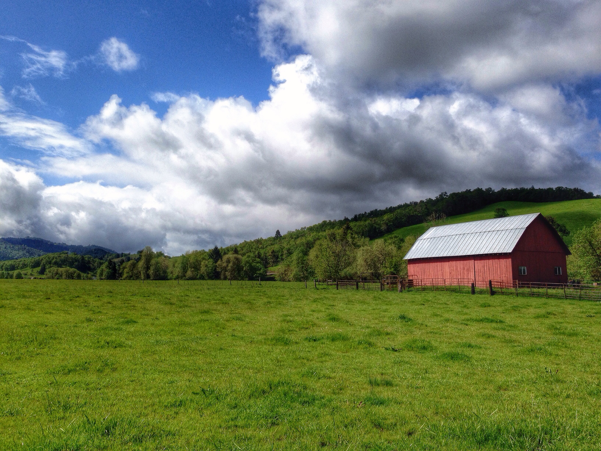
Farm off Roberts Creek Road, near Myrtle Creek, Oregon

Corn maze, with fog.

Old fence around gone drive-in theater screen near Roseburg
.

Evening In Oregon
Reflecting pool
White Castle Pilot Project
2012-10-19_13-37-26_382
Topographic Map of Douglas County, OR, USA
Find elevation by address:

Places in Douglas County, OR, USA:
Roseburg
Reedsport
Winston
Scottsburg
Glendale
Oakland
Drain
Azalea
Myrtle Creek
Sutherlin
Roseburg North
Camas Valley
Yoncalla
Elkton
Canyonville
Camas Valley
Camas Valley
Camas Valley
Camas Valley
Camas Valley
Camas Valley
Camas Valley
Camas Valley
Camas Valley
Scottsburg
Scottsburg
Scottsburg
Scottsburg
Scottsburg
Scottsburg
Scottsburg
Scottsburg
Scottsburg
Scottsburg
Scottsburg
Roseburg
Rice Hill
Dixonville
Fernvale
Gardiner
Hawthorne
Milo
North Fork
Peel
Reston
Surprise Valley
Tenmile
Tyee
Wilbur
Comstock
Anlauf
Glide
Diamond Lake
Clearwater Falls
Toketee Falls
Tiller
Places near Douglas County, OR, USA:
Roseburg
Roseburg, OR, USA
757 Cattle Dr
Dixonville
539 Hatfield Dr
231 Marilyn St
540 Brumbach Rd
904 Se Murray Ct
2304 Se Waldon Ave
613 Ne Cummins St
390 Se Terrace Dr
1602 Se Starmer St
762 Se Chadwick St
2002 Ne Klamath Ave
2151 Ne Alabaster Ave
1362 Se Cobb St
200 Millsview Ln
Old Hwy 99 S, Roseburg, OR, USA
Roseburg
308 Se Lane Ave
Recent Searches:
- Elevation of Corso Fratelli Cairoli, 35, Macerata MC, Italy
- Elevation of Tallevast Rd, Sarasota, FL, USA
- Elevation of 4th St E, Sonoma, CA, USA
- Elevation of Black Hollow Rd, Pennsdale, PA, USA
- Elevation of Oakland Ave, Williamsport, PA, USA
- Elevation of Pedrógão Grande, Portugal
- Elevation of Klee Dr, Martinsburg, WV, USA
- Elevation of Via Roma, Pieranica CR, Italy
- Elevation of Tavkvetili Mountain, Georgia
- Elevation of Hartfords Bluff Cir, Mt Pleasant, SC, USA