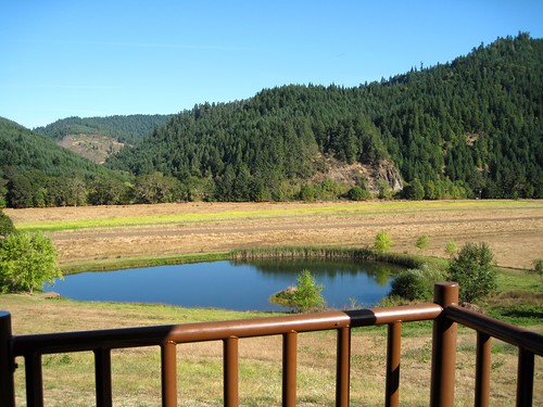
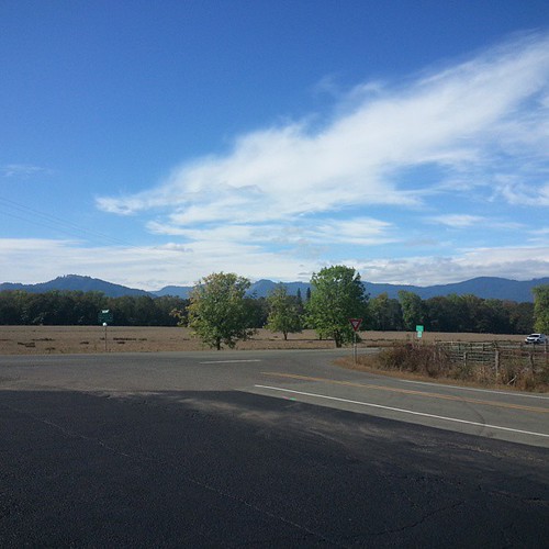
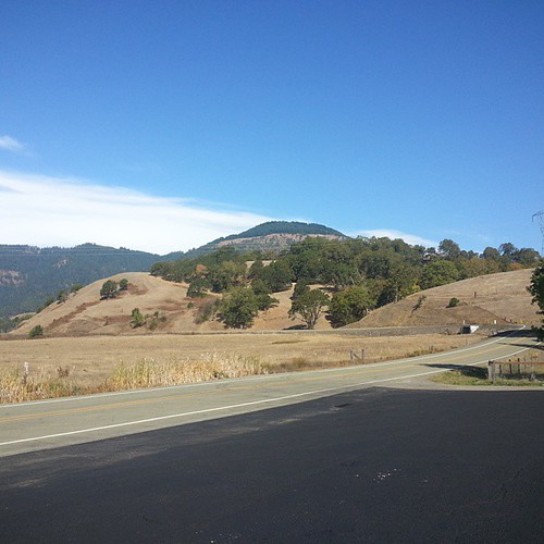
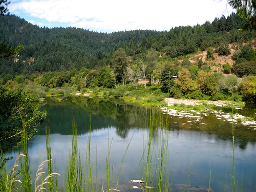
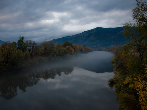
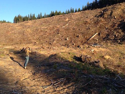
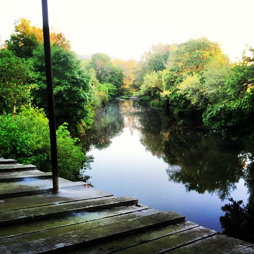
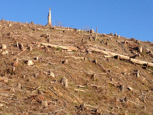
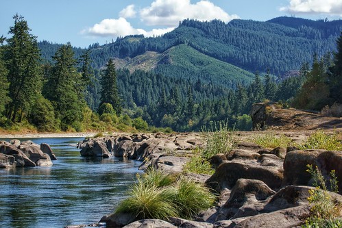
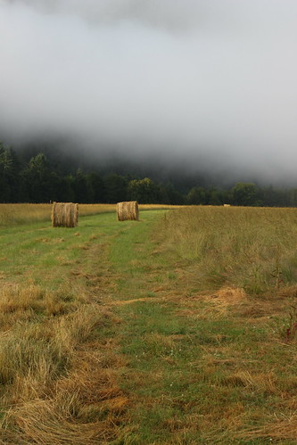
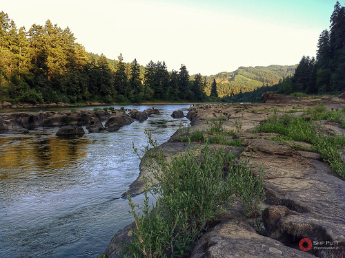
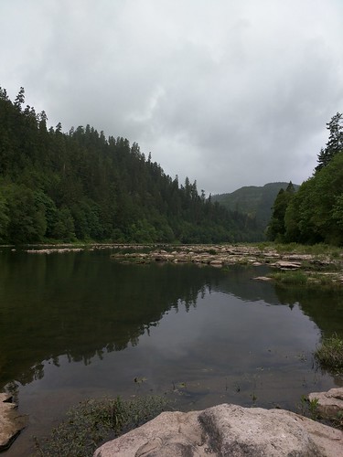
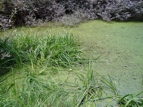
Elevation of Tyee, OR, USA
Location: United States > Oregon > Douglas County >
Longitude: -123.55120
Latitude: 43.4434489
Elevation: 90m / 295feet
Barometric Pressure: 100KPa
Related Photos:
Topographic Map of Tyee, OR, USA
Find elevation by address:

Places near Tyee, OR, USA:
Cougar Creek Rd, Oakland, OR, USA
State Highway 138 West
340 Woodruff Mountain Rd
Scott Henry Rd, Oakland, OR, USA
1055 Donruss Dr
2716 Golfview Ave
2082 Culver Loop
2084 Culver Loop
999 Old Hwy 99 N
Wilbur
Old Hwy 99 N, Roseburg, OR, USA
210 E 4th Ave
Sutherlin
115 Locust St
Oakland
Winchester
238 Se Pear St
1121 E 3rd Ave
486 Page Rd
2916 Nw Ralinda Ct
Recent Searches:
- Elevation of Corso Fratelli Cairoli, 35, Macerata MC, Italy
- Elevation of Tallevast Rd, Sarasota, FL, USA
- Elevation of 4th St E, Sonoma, CA, USA
- Elevation of Black Hollow Rd, Pennsdale, PA, USA
- Elevation of Oakland Ave, Williamsport, PA, USA
- Elevation of Pedrógão Grande, Portugal
- Elevation of Klee Dr, Martinsburg, WV, USA
- Elevation of Via Roma, Pieranica CR, Italy
- Elevation of Tavkvetili Mountain, Georgia
- Elevation of Hartfords Bluff Cir, Mt Pleasant, SC, USA
