Elevation of Donruss Dr, Roseburg, OR, USA
Location: United States > Oregon > Douglas County > Roseburg >
Longitude: -123.47909
Latitude: 43.270825
Elevation: 305m / 1001feet
Barometric Pressure: 98KPa
Elevation Map:
Satellite Map:
Related Photos:
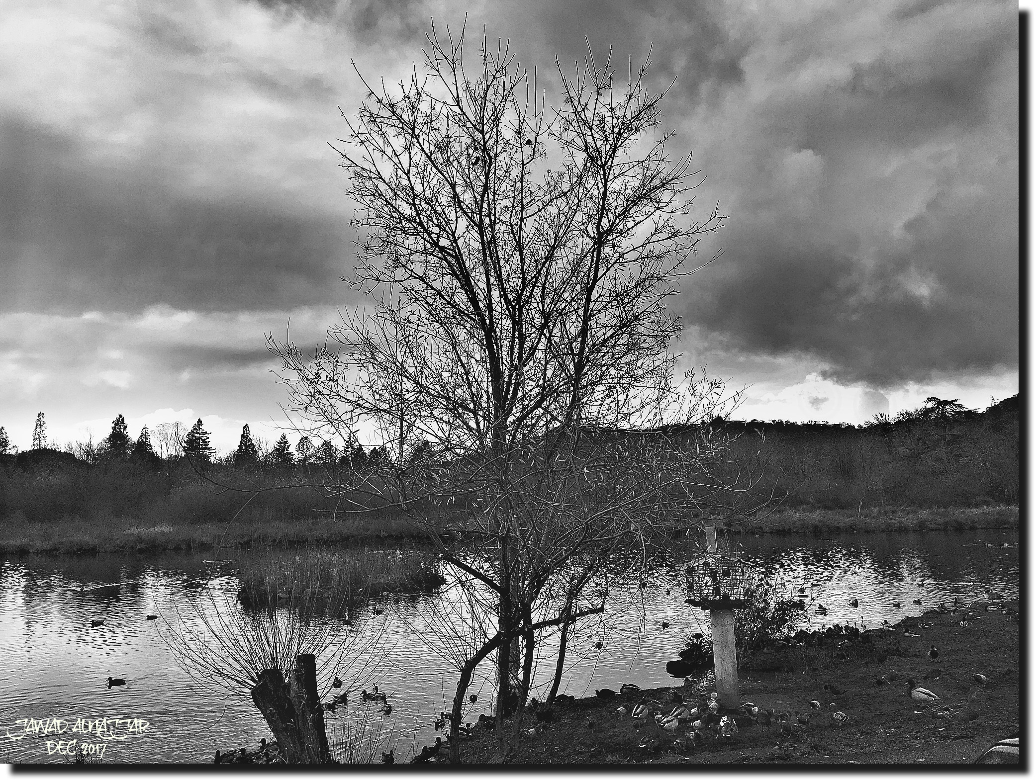
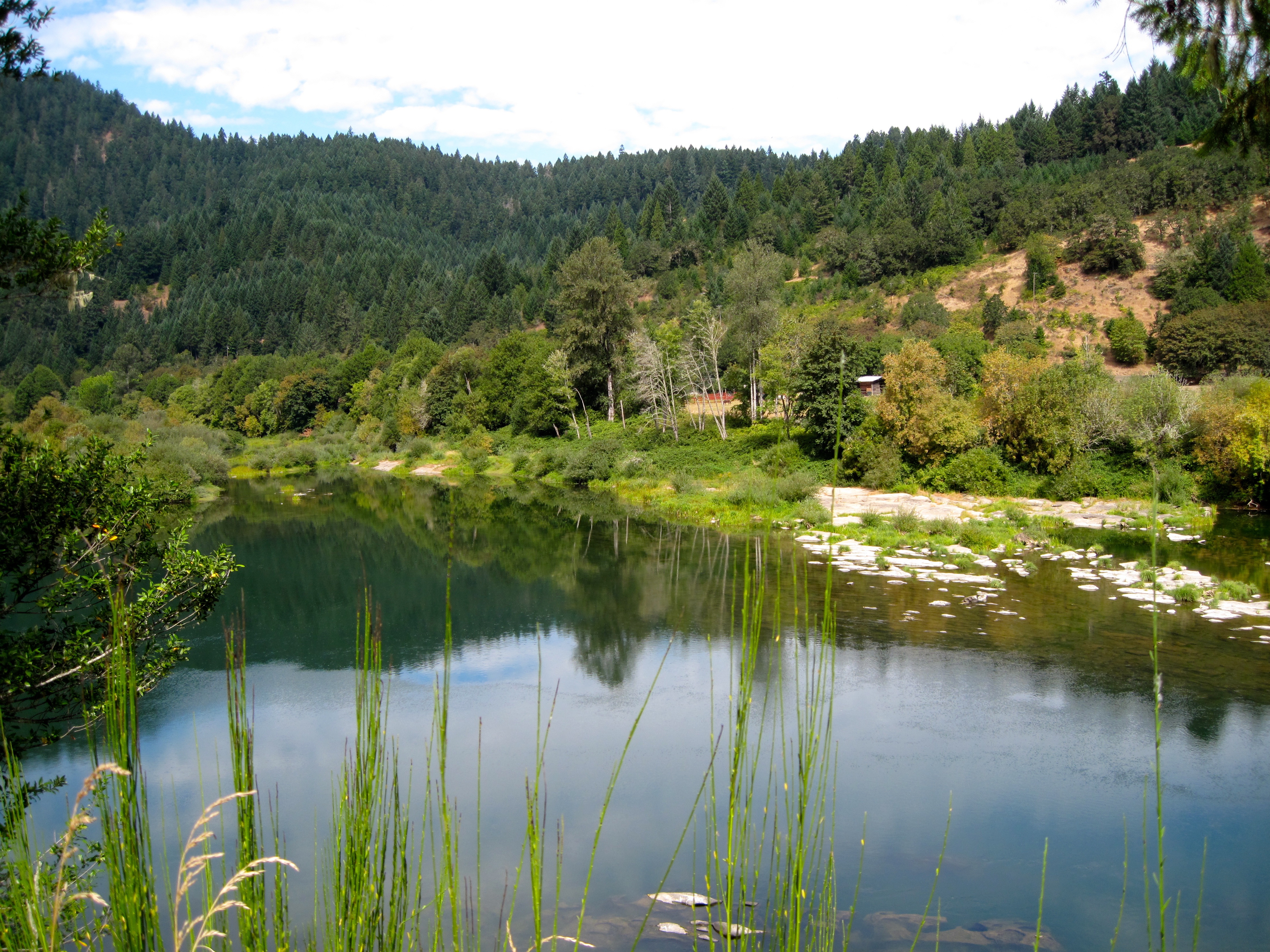
LAKE ROSEBURG OREGON
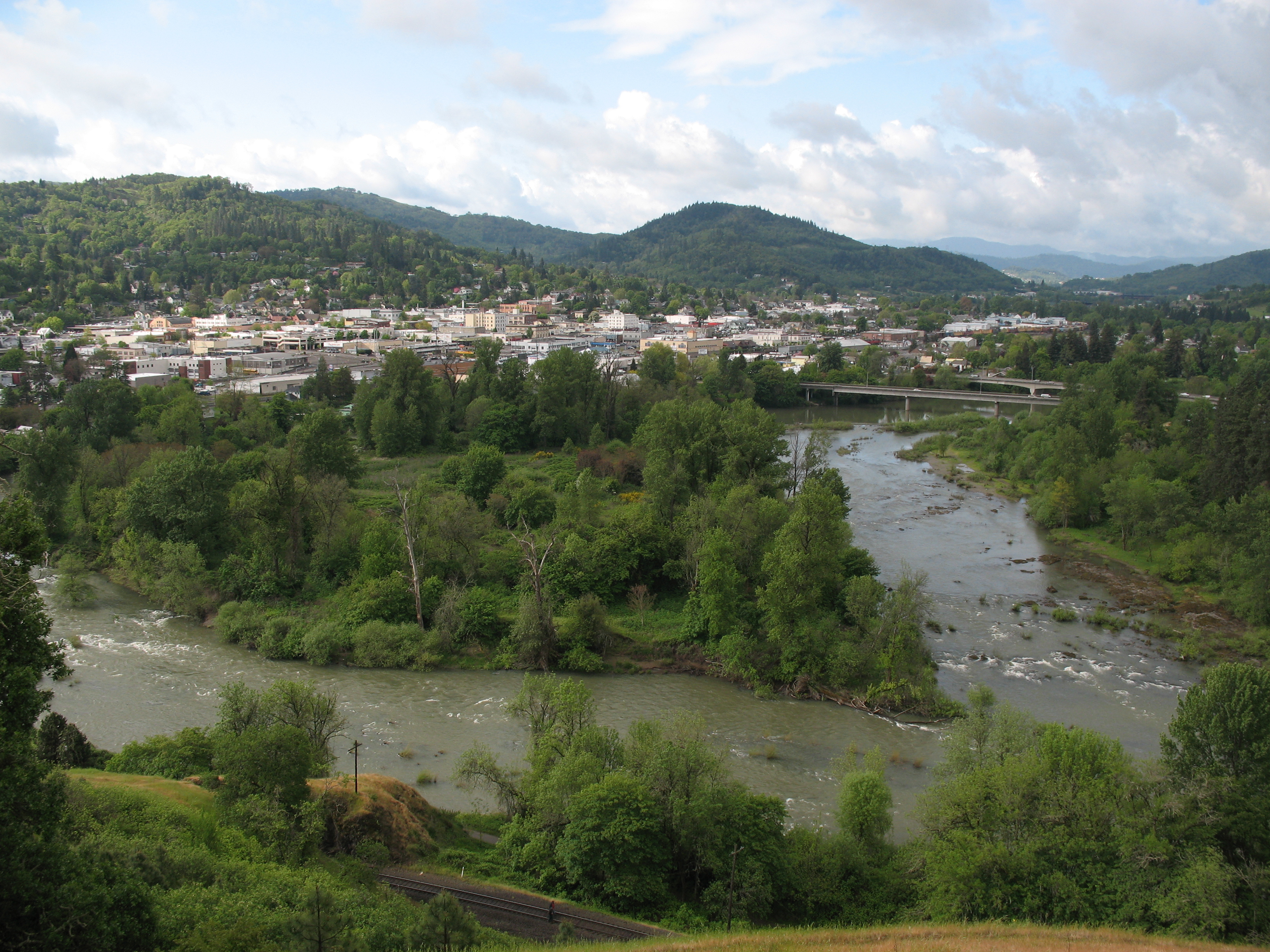
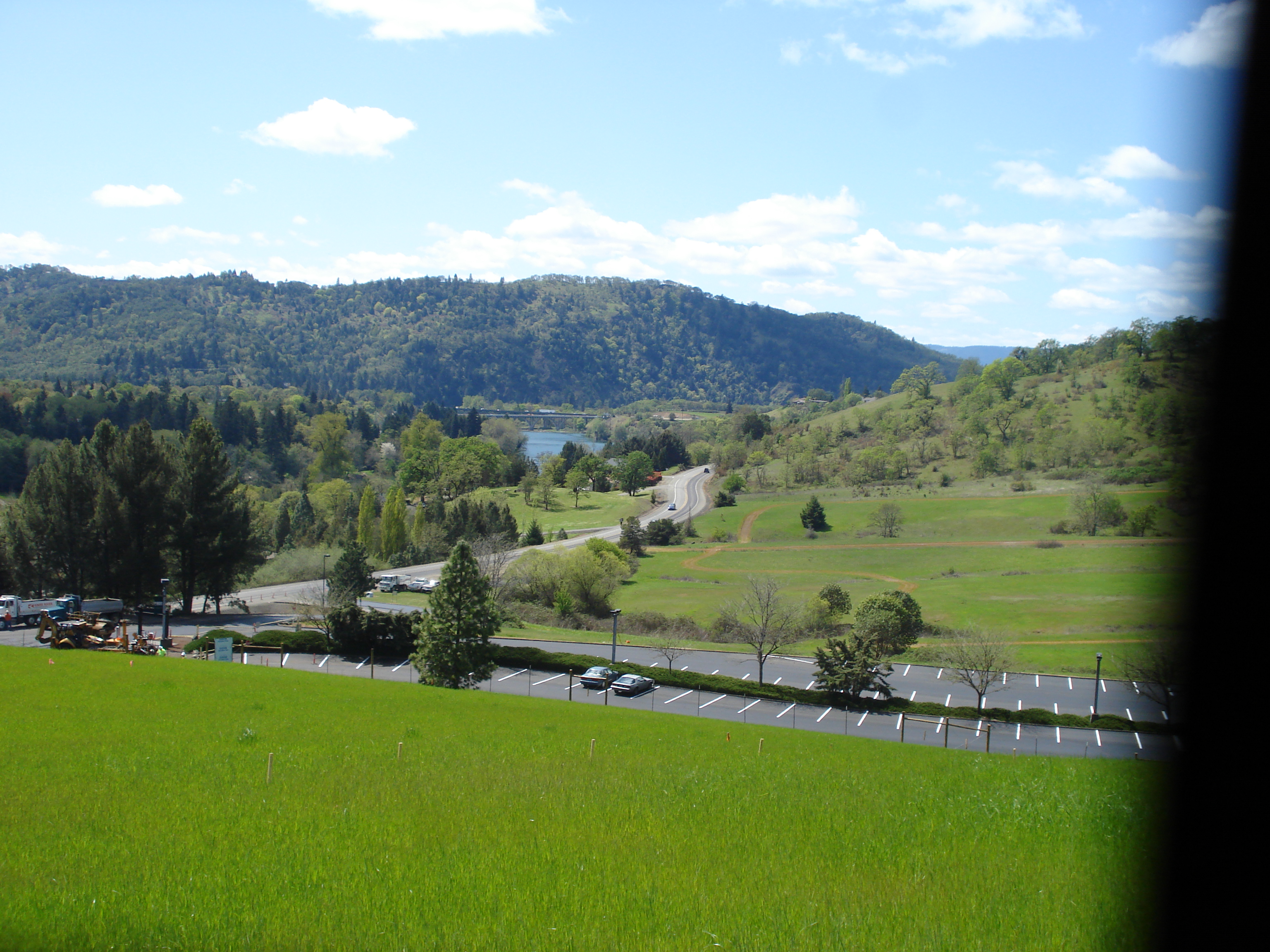
Roseburg, OR

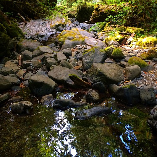
A Forest near Roseburg, Oregon

95. View from our balcony in Roseburg, OR.
Where warm and cold meet

Oak Savannah

early teen angst at the Kenai

Oregon White Oak
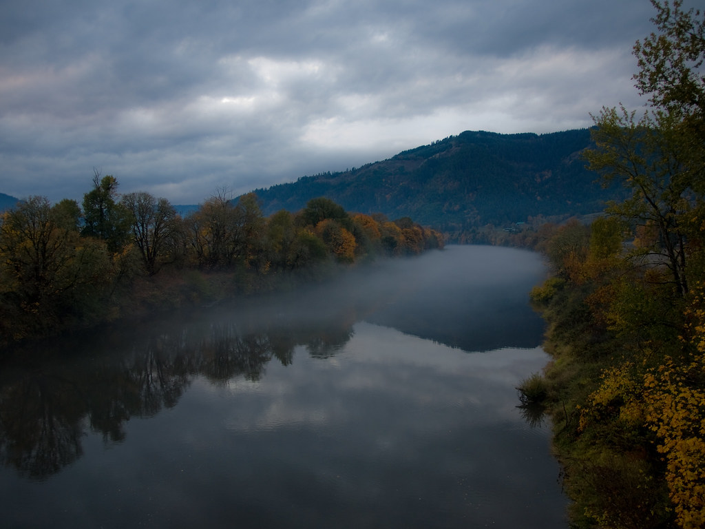
River Forks

Corn maze, with fog.

Even doggies like flare ☀
Reflecting pool
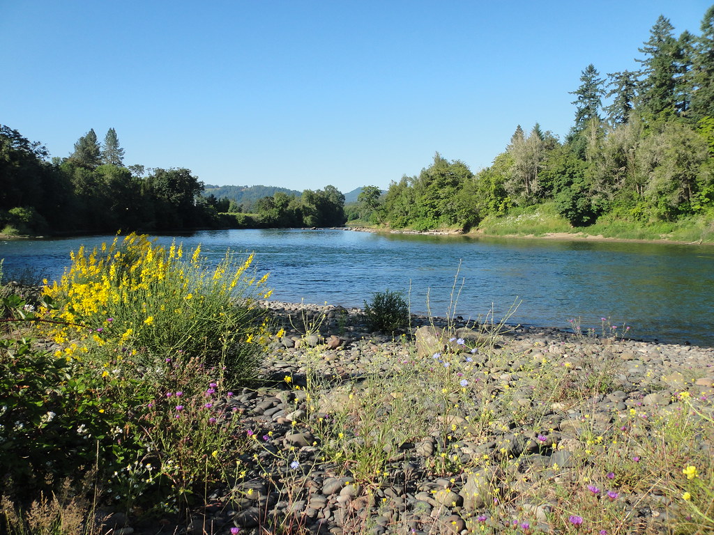
Umpqua near Hubbard Creek Rd
easter 2009 101

Dysert Creek falls

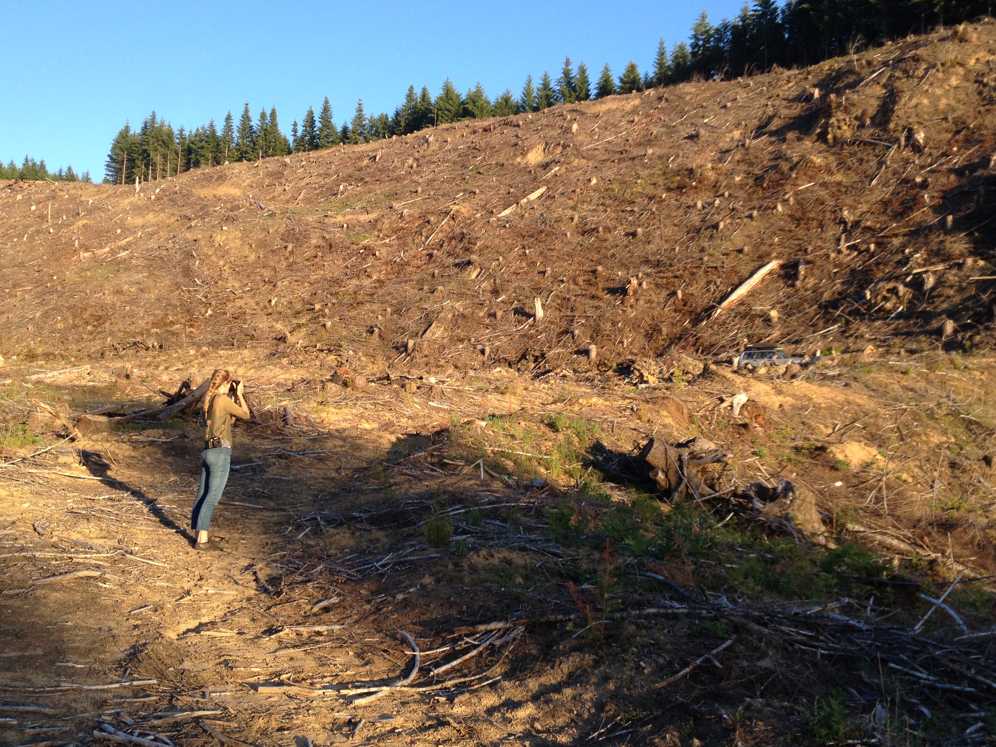
clearcut slash

Just a rhino, in the road.

In any other world.

Oregon's landscape
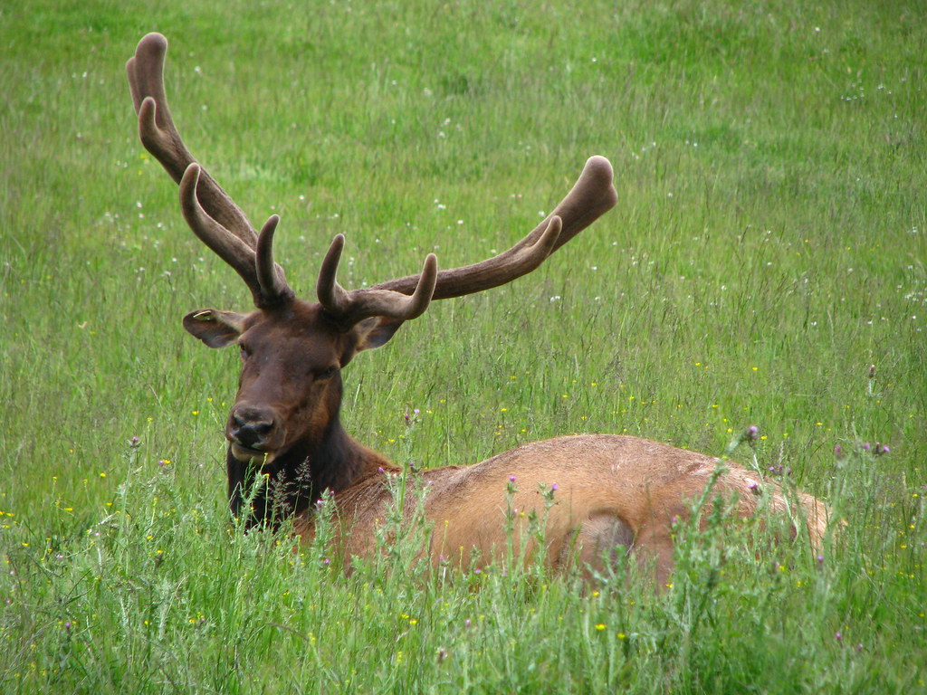
Oregon - Wildlife Safari
Seneca clearcut
Topographic Map of Donruss Dr, Roseburg, OR, USA
Find elevation by address:

Places near Donruss Dr, Roseburg, OR, USA:
340 Woodruff Mountain Rd
999 Jewel Dr
2616 Nw Loma Vista Dr
2575 Nw Troost St
1376 Cedar Ridge Ct
2916 Nw Ralinda Ct
1824 Coos Bay Wagon Rd
890 W Hickory St
920 W Hickory St
940 W Hickory St
930 W Hickory St
899 W Hickory St
3334 W Normandy Ave
1670 Nw Kline St
Northwest Vale Court
2822 W Sherwood Ave
428 W Broccoli St
295 W Oriole Dr
2553 Nw Stewart Pkwy
Winchester
Recent Searches:
- Elevation of Corso Fratelli Cairoli, 35, Macerata MC, Italy
- Elevation of Tallevast Rd, Sarasota, FL, USA
- Elevation of 4th St E, Sonoma, CA, USA
- Elevation of Black Hollow Rd, Pennsdale, PA, USA
- Elevation of Oakland Ave, Williamsport, PA, USA
- Elevation of Pedrógão Grande, Portugal
- Elevation of Klee Dr, Martinsburg, WV, USA
- Elevation of Via Roma, Pieranica CR, Italy
- Elevation of Tavkvetili Mountain, Georgia
- Elevation of Hartfords Bluff Cir, Mt Pleasant, SC, USA