Elevation of Camas Valley, OR, USA
Location: United States > Oregon > Douglas County >
Longitude: -123.6739646
Latitude: 43.0333629
Elevation: 347m / 1138feet
Barometric Pressure: 0KPa
Related Photos:
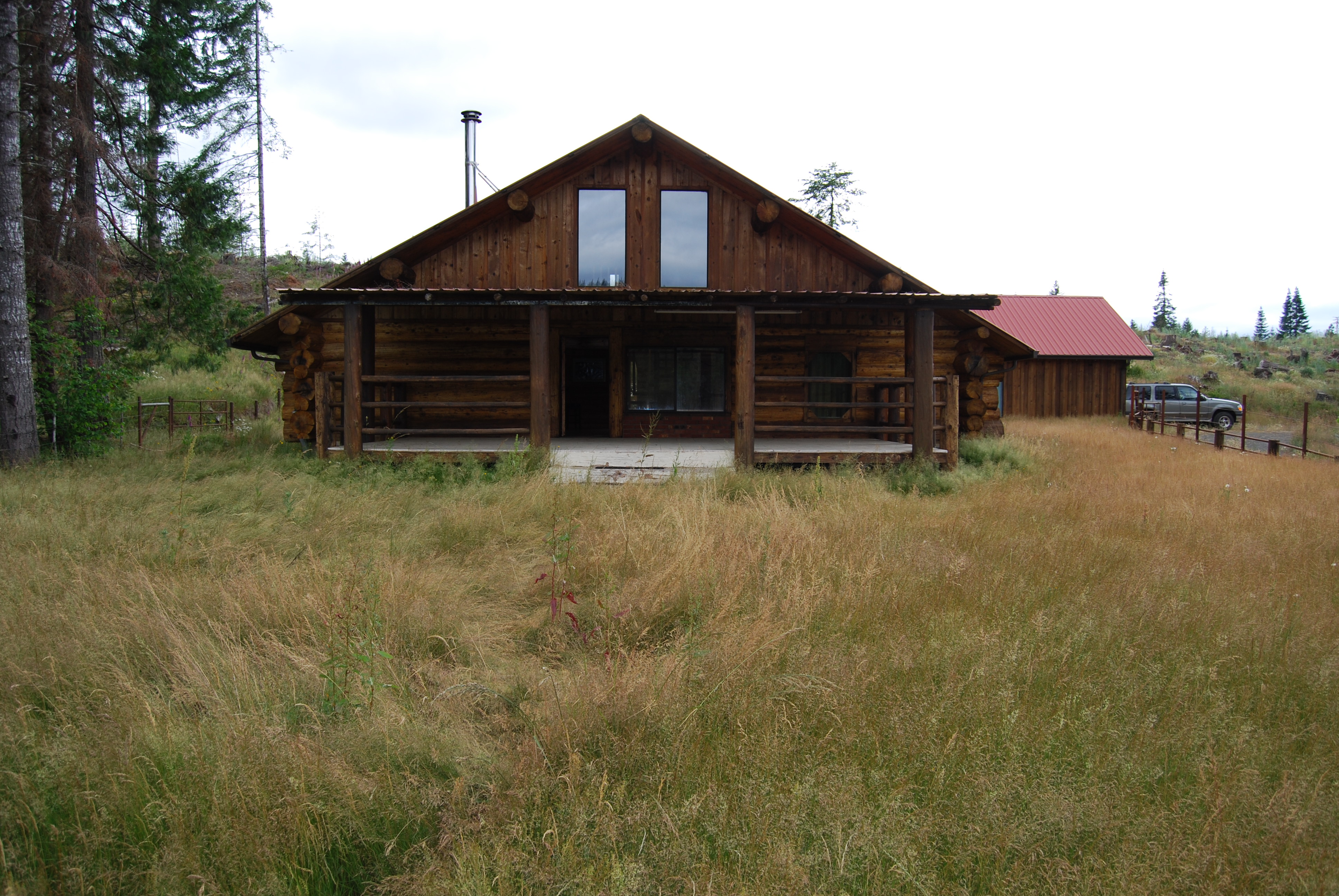
Front View

Big Leaf Maples over the E. Fk. Coquille Waterfall
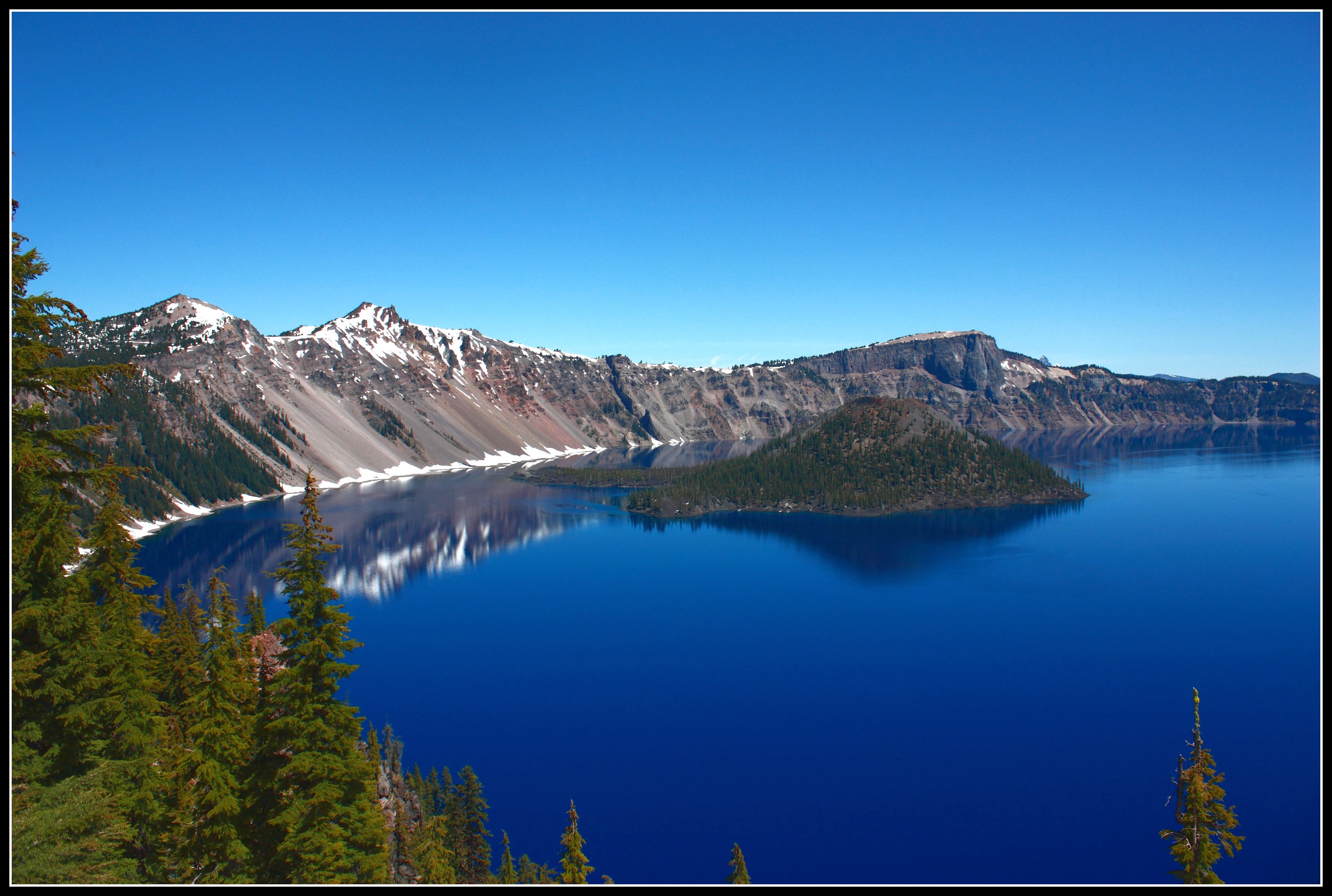
The Majestic Crater Lake

Wagon road.

Saved by Grace

East Fork
Coos Bay Wagon Road waterfalls

Treasure in the Coast Range

One by One
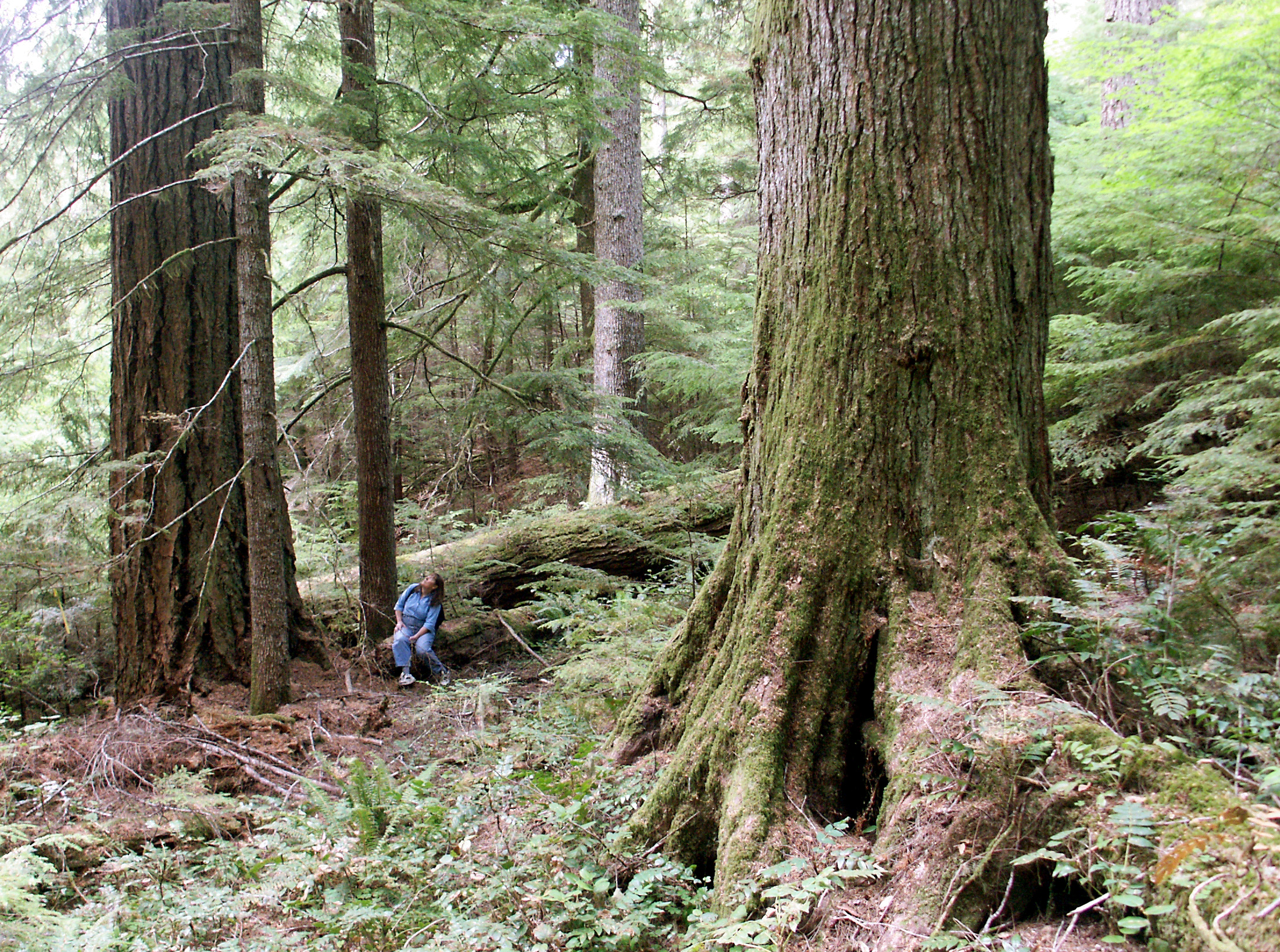
Old Growth Douglas fir and western hemlock
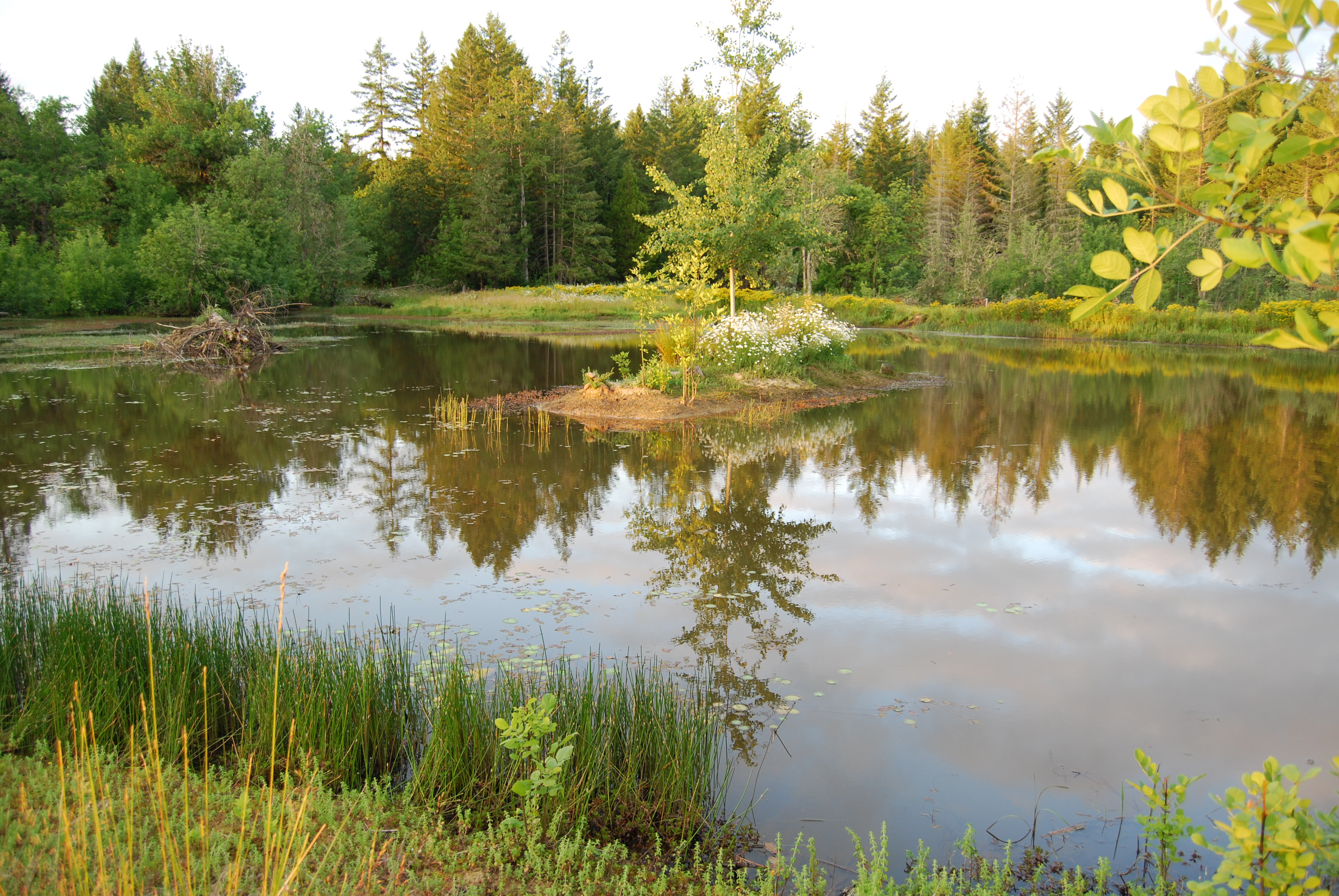
The Pond

Oregon - The Ranch
Dave Busenbark County Park

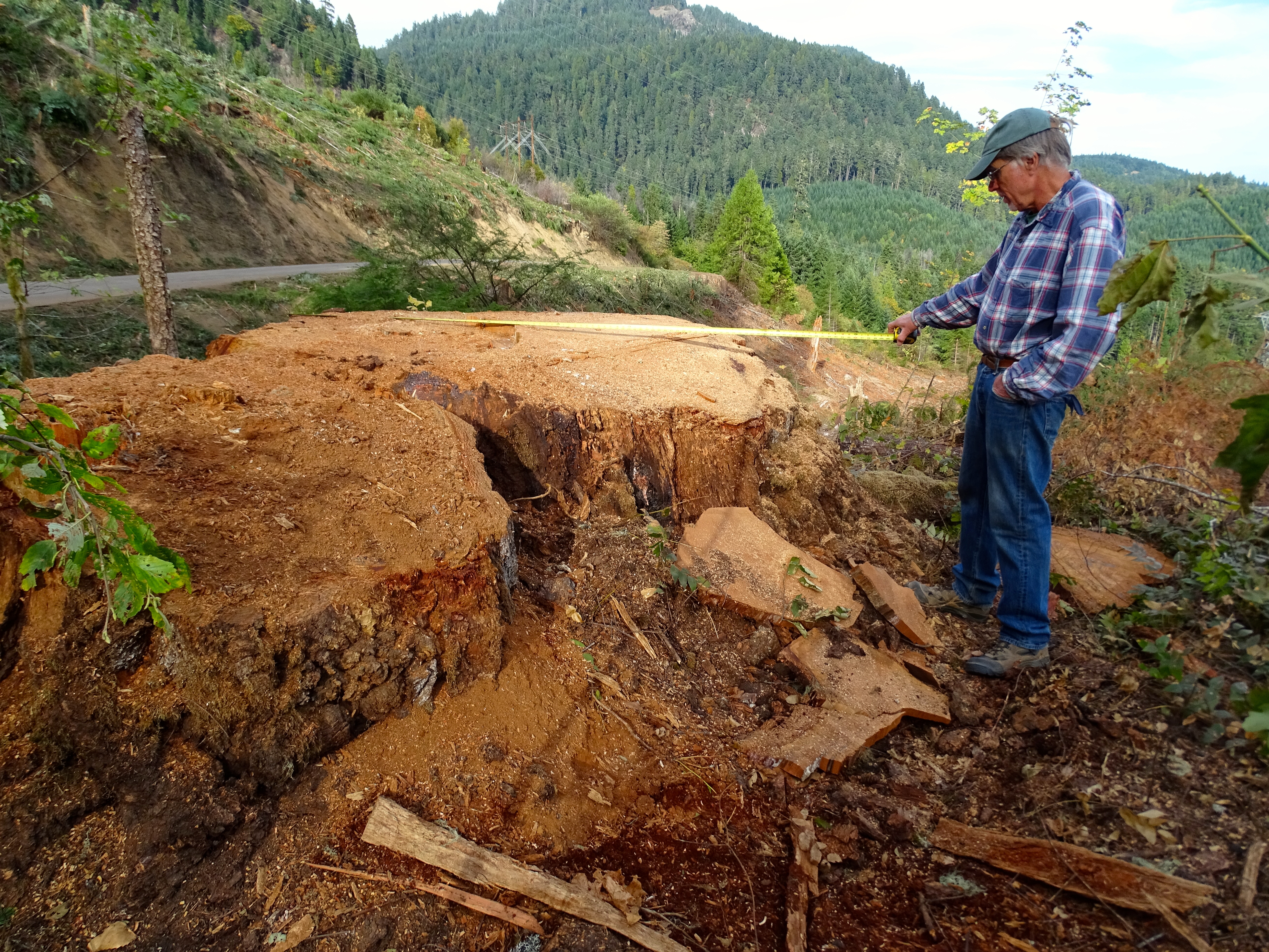
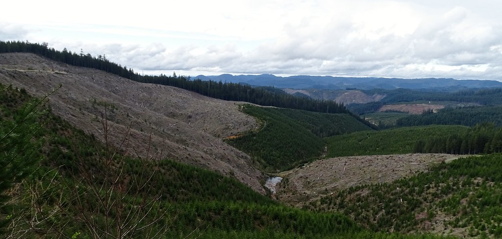
Dave Busenbark County Park clearcut by Douglas County

Dave Busenbark County Park clearcut by Douglas County

Dave Busenbark County Park clearcut by Douglas County

Dave Busenbark County Park clearcut by Douglas County

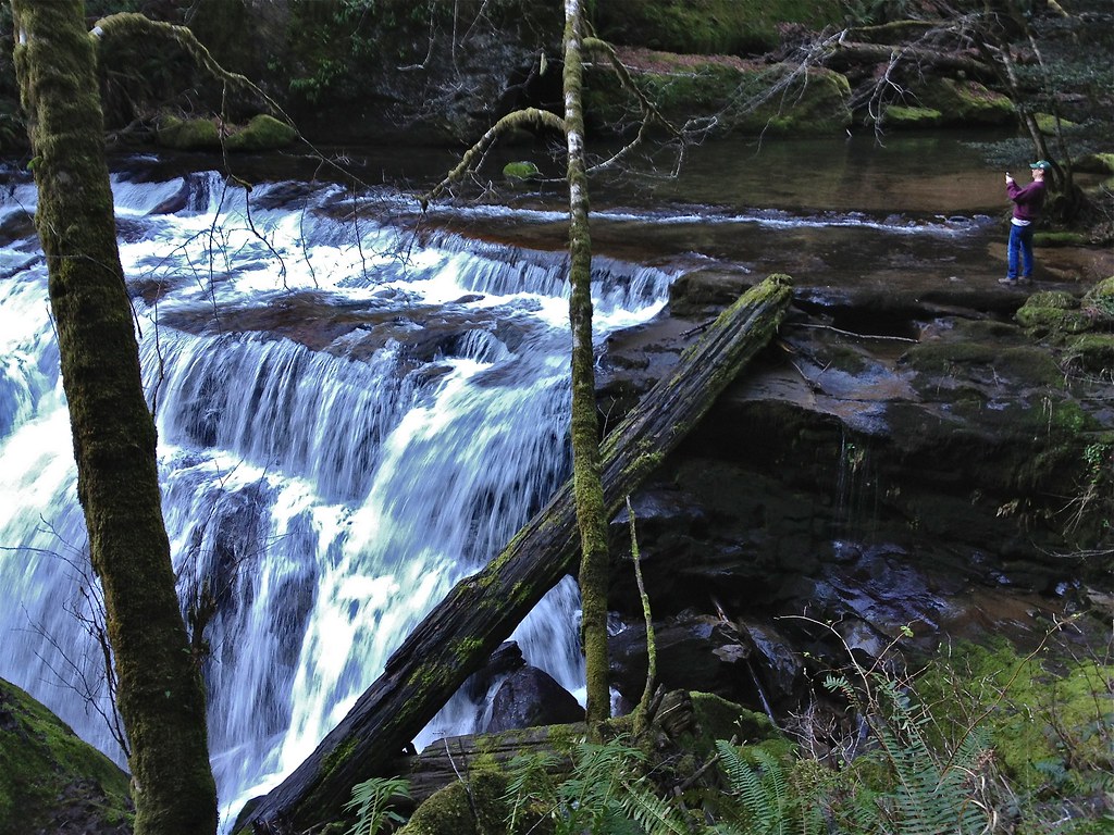
East Fork Coquile River waterfall
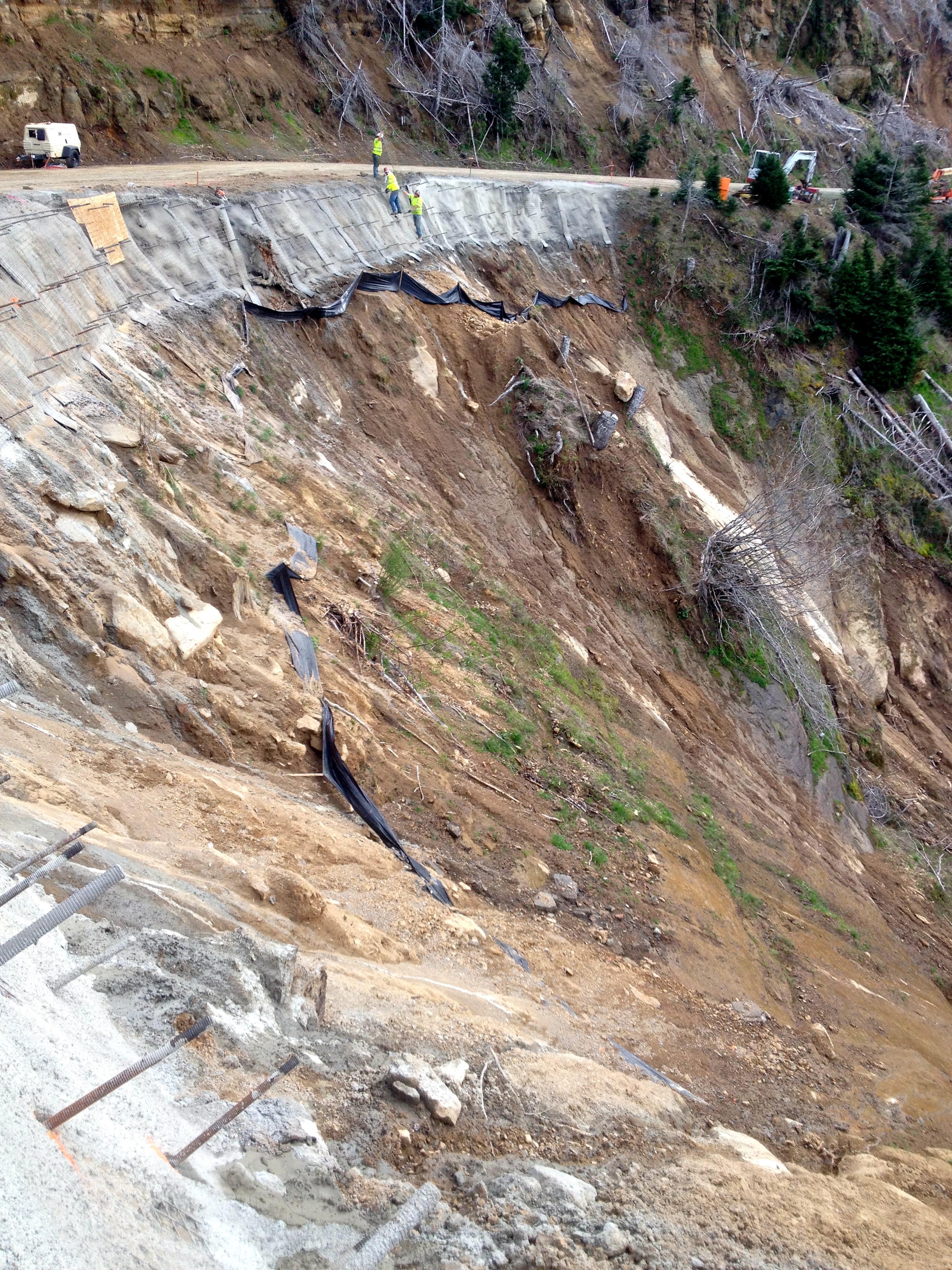
Tiny men working on a huge landslide
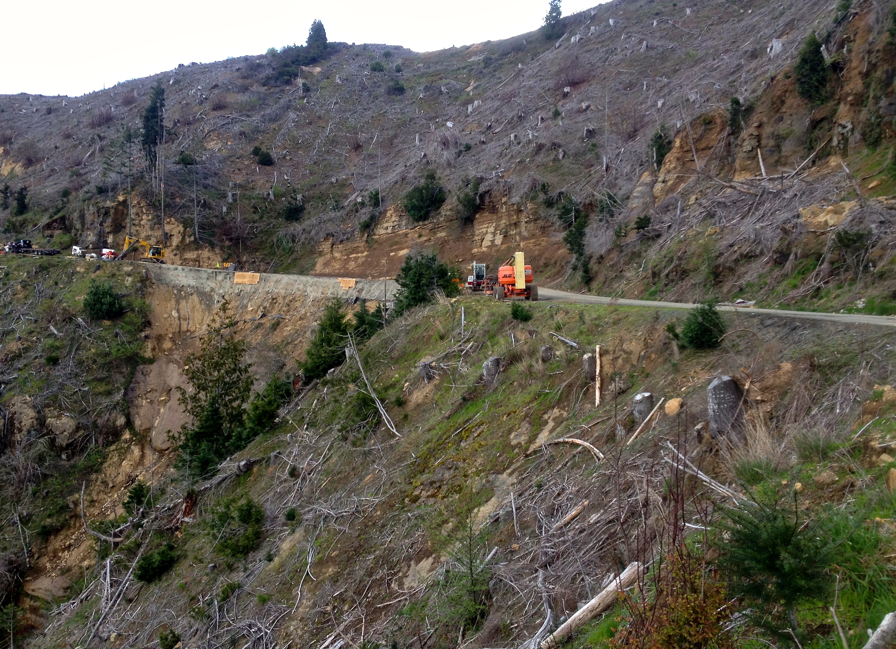
Huge landslide from logging road, killing fish downstream.
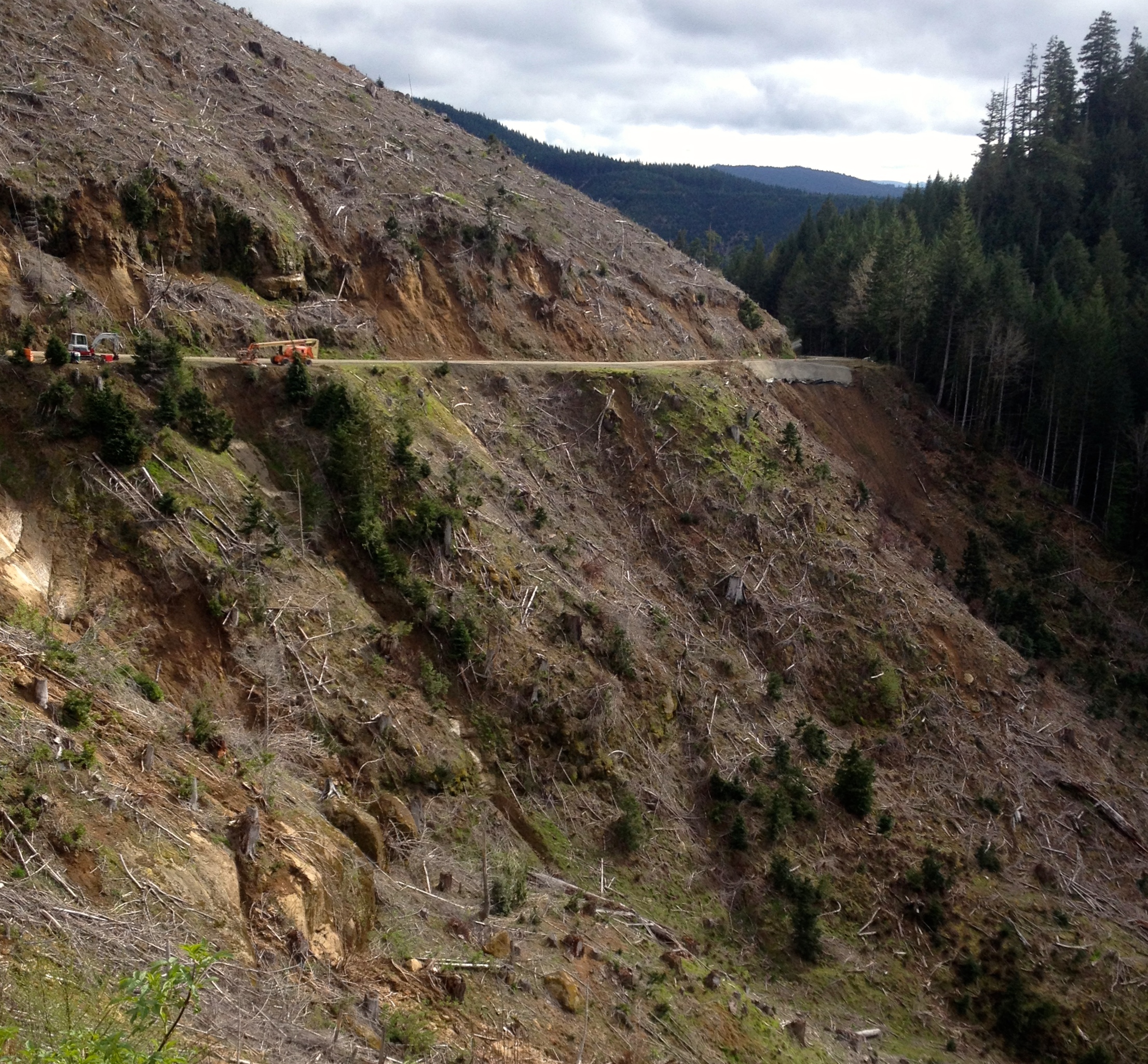
Landslide on Weaver Road.
Oregon Industrial Foreste Land
Topographic Map of Camas Valley, OR, USA
Find elevation by address:

Places near Camas Valley, OR, USA:
Camas Valley
Camas Valley
Camas Valley
Camas Valley
Camas Valley
Camas Valley
Camas Valley
Camas Valley
Camas Valley
OR-42, Camas Valley, OR, USA
1081 Main Camas Rd
Our Lane
736 Baldwin Rd
10436 Coos Bay Wagon Rd
Reston
8637 Coos Bay Wagon Rd
Upper Olalla Rd, Winston, OR, USA
Tenmile
9392 Or-42
400 Mt Gurney Ln
Recent Searches:
- Elevation map of Greenland, Greenland
- Elevation of Sullivan Hill, New York, New York, 10002, USA
- Elevation of Morehead Road, Withrow Downs, Charlotte, Mecklenburg County, North Carolina, 28262, USA
- Elevation of 2800, Morehead Road, Withrow Downs, Charlotte, Mecklenburg County, North Carolina, 28262, USA
- Elevation of Yangbi Yi Autonomous County, Yunnan, China
- Elevation of Pingpo, Yangbi Yi Autonomous County, Yunnan, China
- Elevation of Mount Malong, Pingpo, Yangbi Yi Autonomous County, Yunnan, China
- Elevation map of Yongping County, Yunnan, China
- Elevation of North 8th Street, Palatka, Putnam County, Florida, 32177, USA
- Elevation of 107, Big Apple Road, East Palatka, Putnam County, Florida, 32131, USA
- Elevation of Jiezi, Chongzhou City, Sichuan, China
- Elevation of Chongzhou City, Sichuan, China
- Elevation of Huaiyuan, Chongzhou City, Sichuan, China
- Elevation of Qingxia, Chengdu, Sichuan, China
- Elevation of Corso Fratelli Cairoli, 35, Macerata MC, Italy
- Elevation of Tallevast Rd, Sarasota, FL, USA
- Elevation of 4th St E, Sonoma, CA, USA
- Elevation of Black Hollow Rd, Pennsdale, PA, USA
- Elevation of Oakland Ave, Williamsport, PA, USA
- Elevation of Pedrógão Grande, Portugal