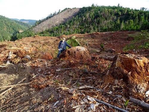
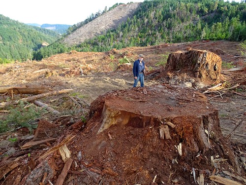
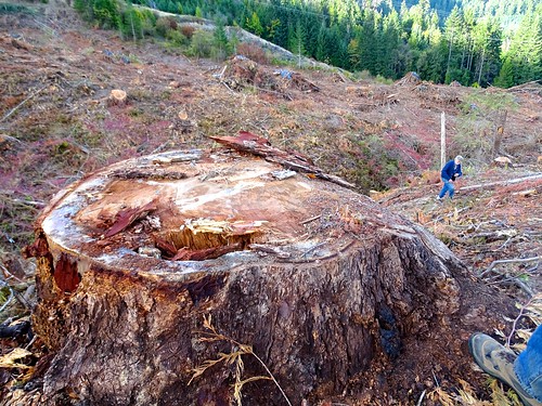
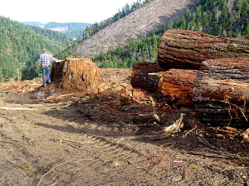
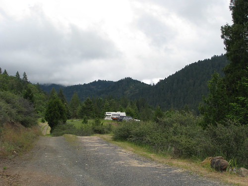
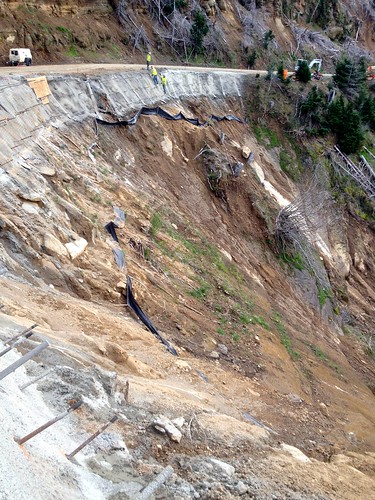
Elevation of OR-42, Camas Valley, OR, USA
Location: United States > Oregon > Douglas County > Camas Valley >
Longitude: -123.67366
Latitude: 43.0342119
Elevation: 348m / 1142feet
Barometric Pressure: 97KPa
Related Photos:
Topographic Map of OR-42, Camas Valley, OR, USA
Find elevation by address:

Places near OR-42, Camas Valley, OR, USA:
Camas Valley
Camas Valley
Camas Valley
Camas Valley
Camas Valley
Camas Valley
Camas Valley
Camas Valley
Camas Valley
Camas Valley
1081 Main Camas Rd
Our Lane
736 Baldwin Rd
10436 Coos Bay Wagon Rd
Reston
8637 Coos Bay Wagon Rd
Upper Olalla Rd, Winston, OR, USA
Tenmile
9392 Or-42
400 Mt Gurney Ln
Recent Searches:
- Elevation of Corso Fratelli Cairoli, 35, Macerata MC, Italy
- Elevation of Tallevast Rd, Sarasota, FL, USA
- Elevation of 4th St E, Sonoma, CA, USA
- Elevation of Black Hollow Rd, Pennsdale, PA, USA
- Elevation of Oakland Ave, Williamsport, PA, USA
- Elevation of Pedrógão Grande, Portugal
- Elevation of Klee Dr, Martinsburg, WV, USA
- Elevation of Via Roma, Pieranica CR, Italy
- Elevation of Tavkvetili Mountain, Georgia
- Elevation of Hartfords Bluff Cir, Mt Pleasant, SC, USA
