Elevation of Brumbach Rd, Roseburg, OR, USA
Location: United States > Oregon > Douglas County > Roseburg >
Longitude: -123.21191
Latitude: 43.2122847
Elevation: 201m / 659feet
Barometric Pressure: 99KPa
Elevation Map:
Satellite Map:
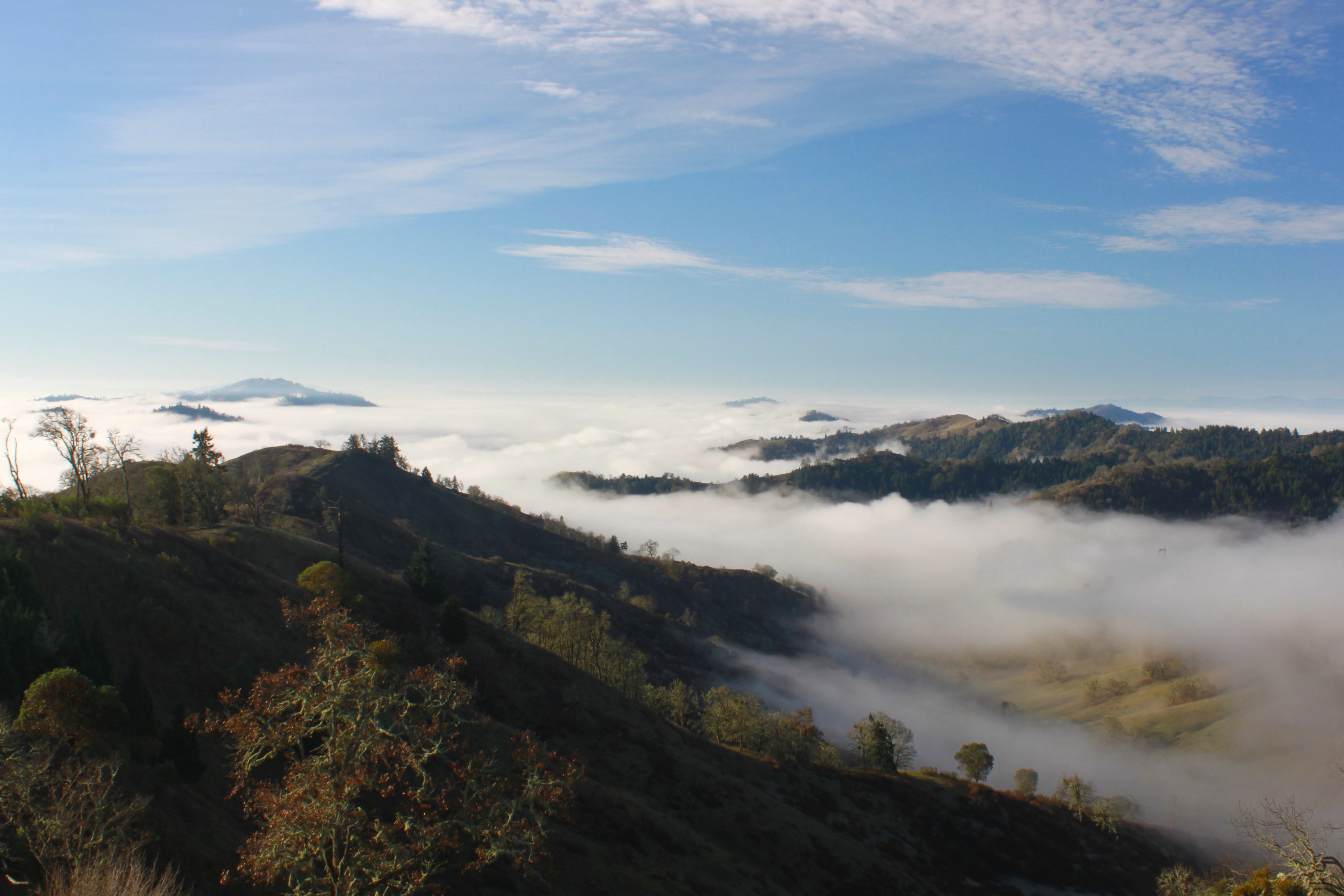
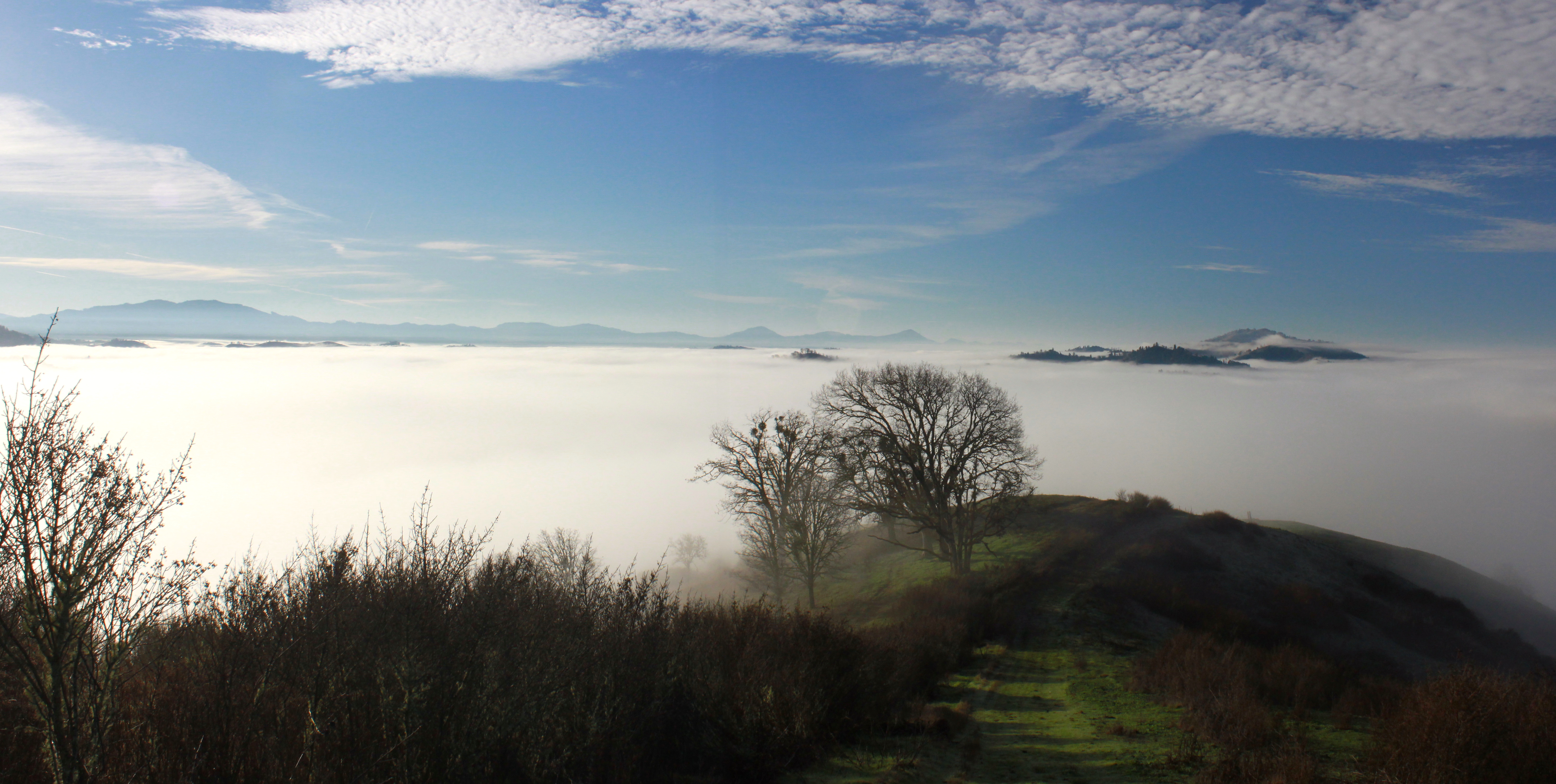
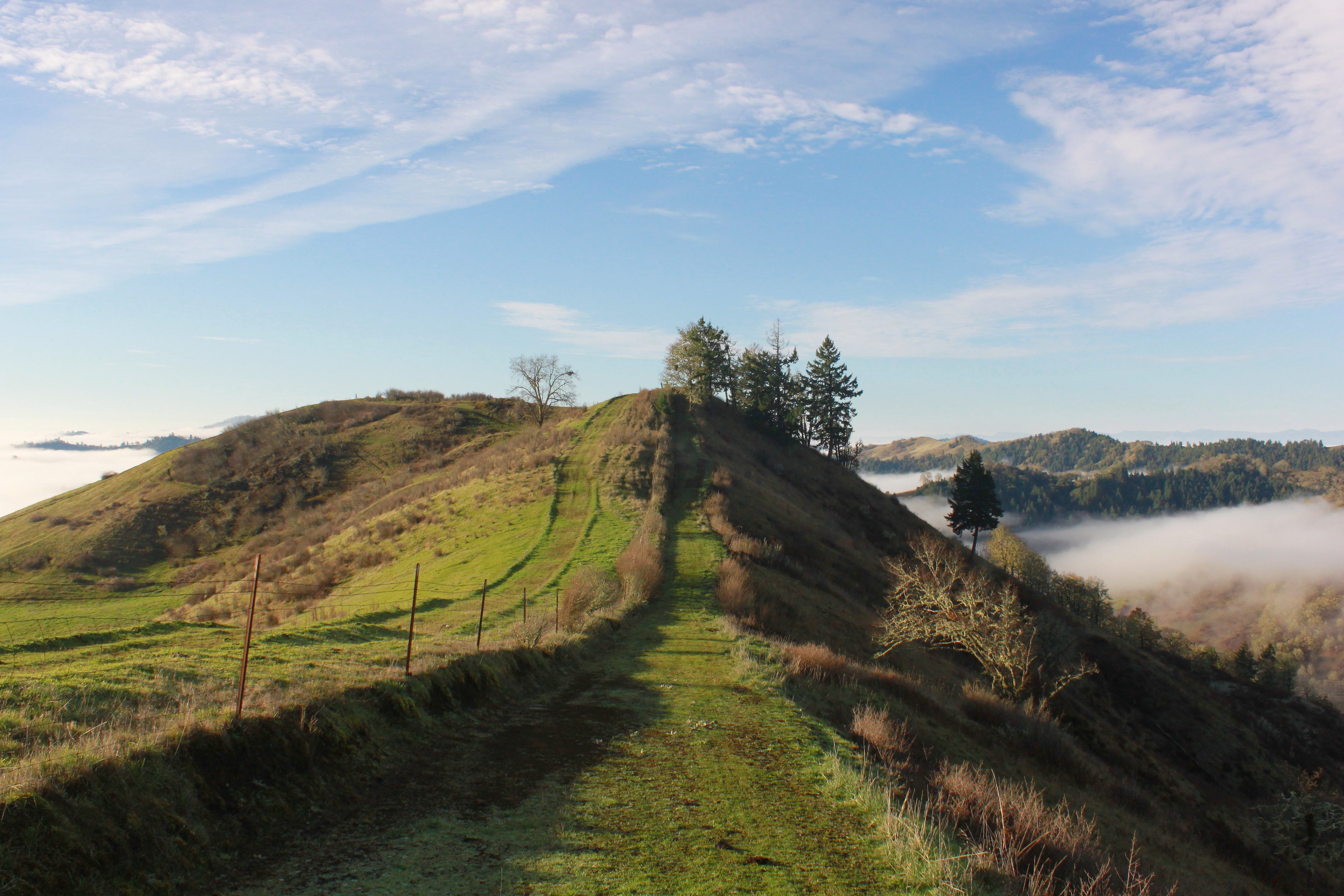
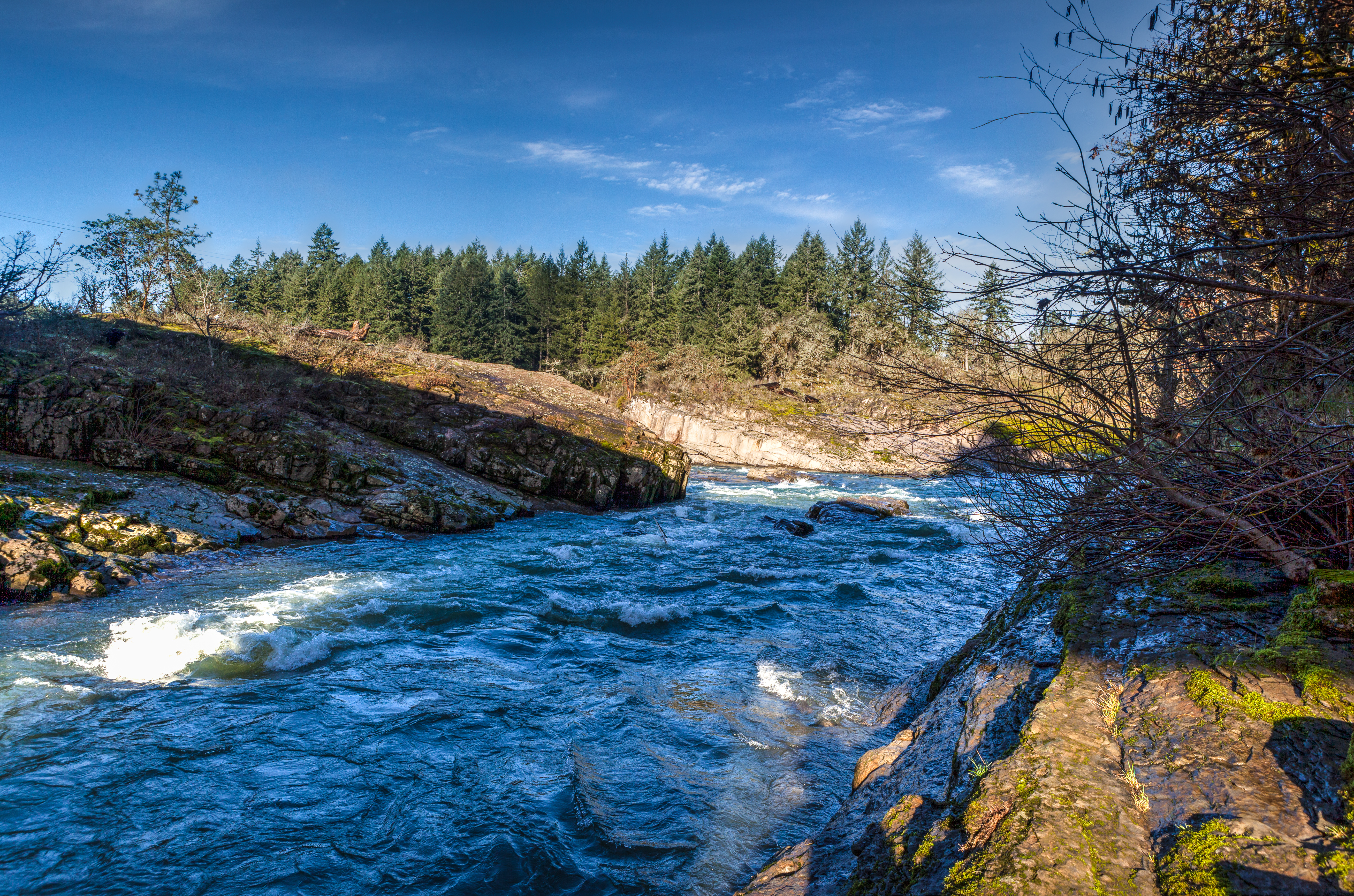
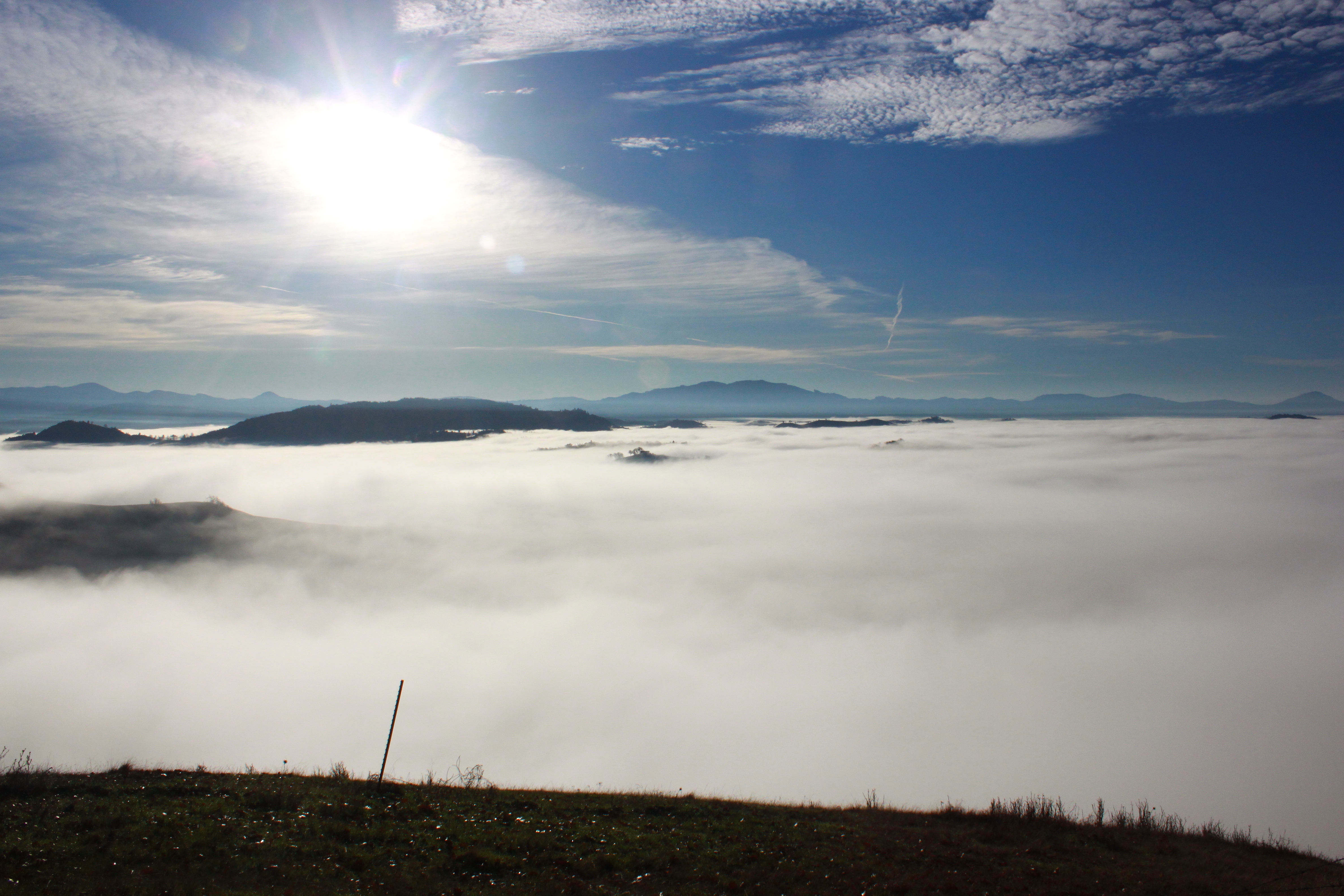
Related Photos:

My first 4x5 a RHS camera

Eclectic 007

Rain occluded view

Day 245/365 - Casey's Restaurant

Another view of the roses in a trailer.

Krone Lane home

Neighborhood Views 001

2010-09-22-cover image-2

View from the Loo
Superb view from East Ridge

Remember...Forever

Krohn Lane Home

Roseburg Visitor’s Center 008

Krohn Lane Home

Roseburg City Hall Pentagon

Krone Lane home
Krohn Lane home

Colliding Rivers 001

Neighborhood Views 017

Neighborhood Views 037

Neighborhood Views 033
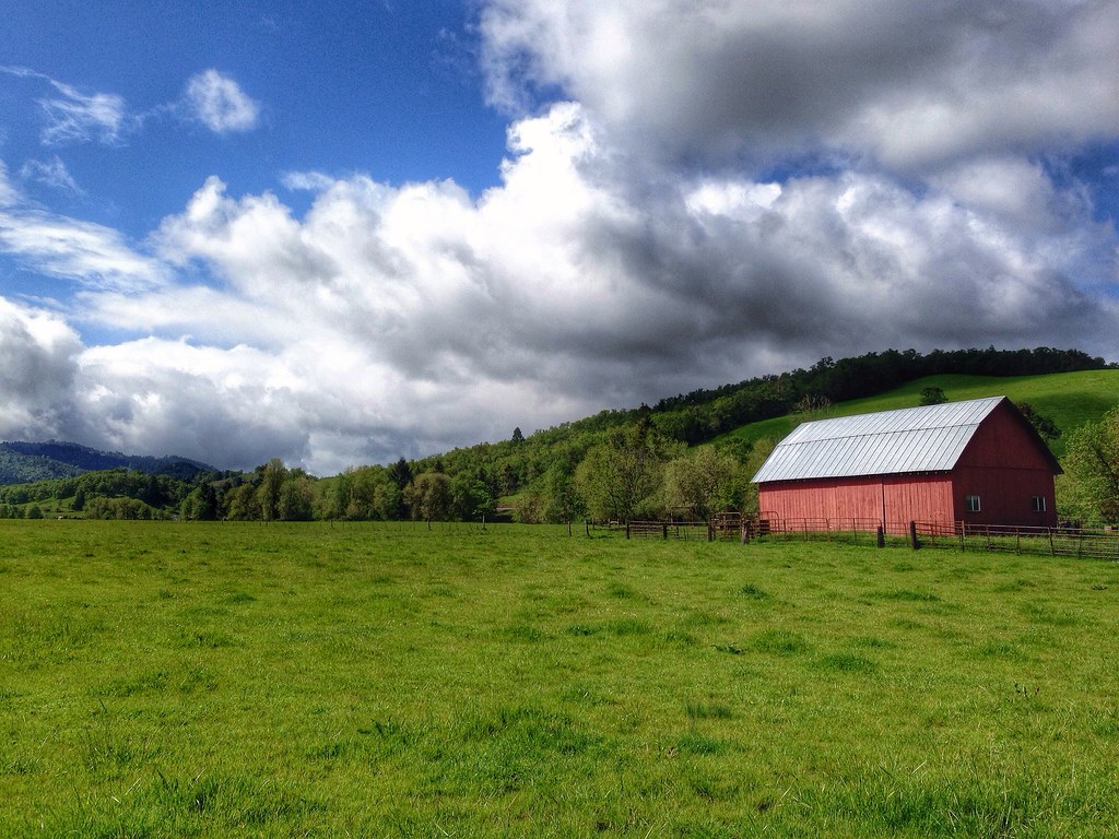
Farm off Roberts Creek Road, near Myrtle Creek, Oregon
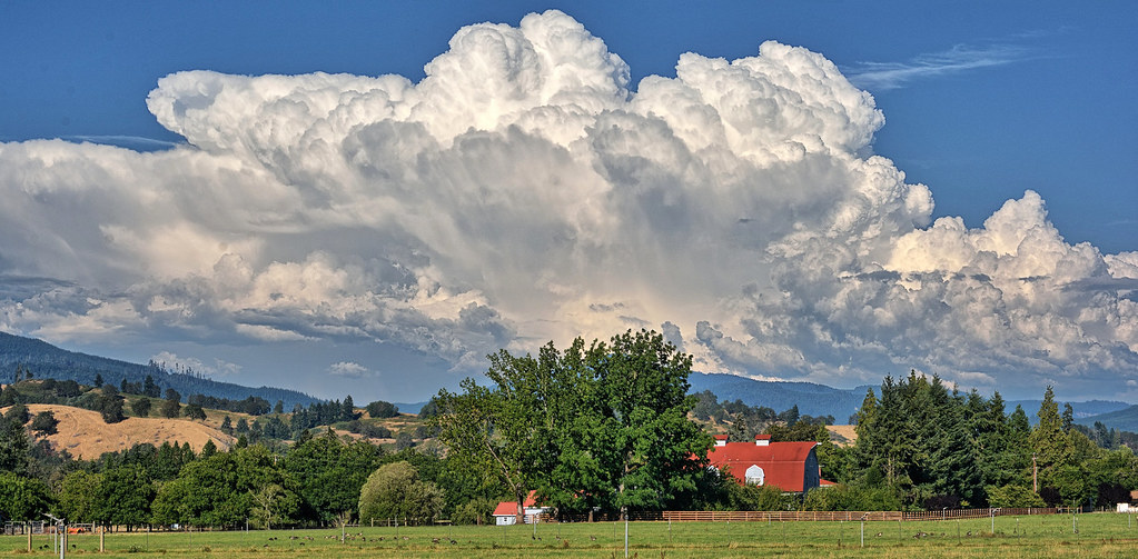
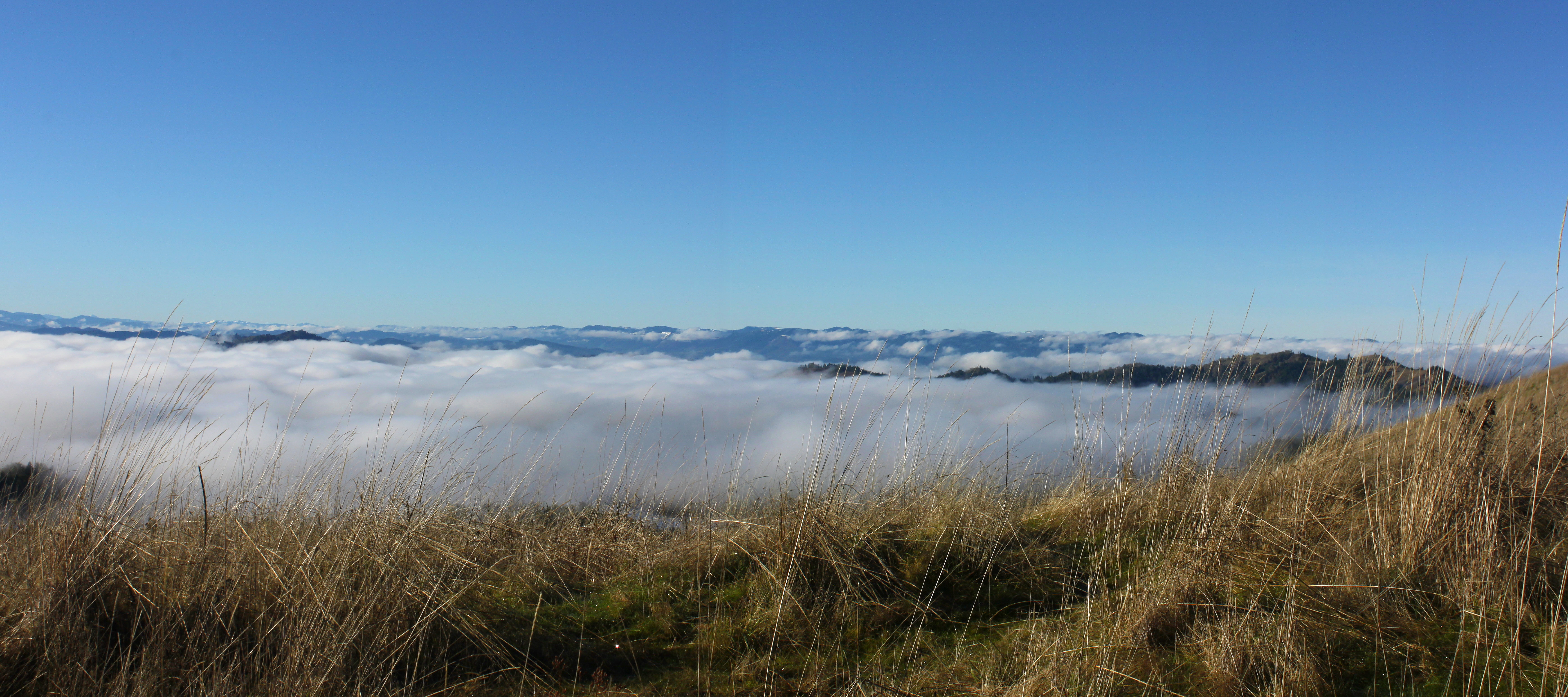
Clouds!

Wilbur, Oregon.

Oak Savannah
Ooh...aah

Smoke Induced Sunset Color
Looking back the way I came

Corn maze, with fog.
Coliding Rivers Park

Oregon White Oak

Wilbur, Oregon.
Wow!

Cold Clear Morning
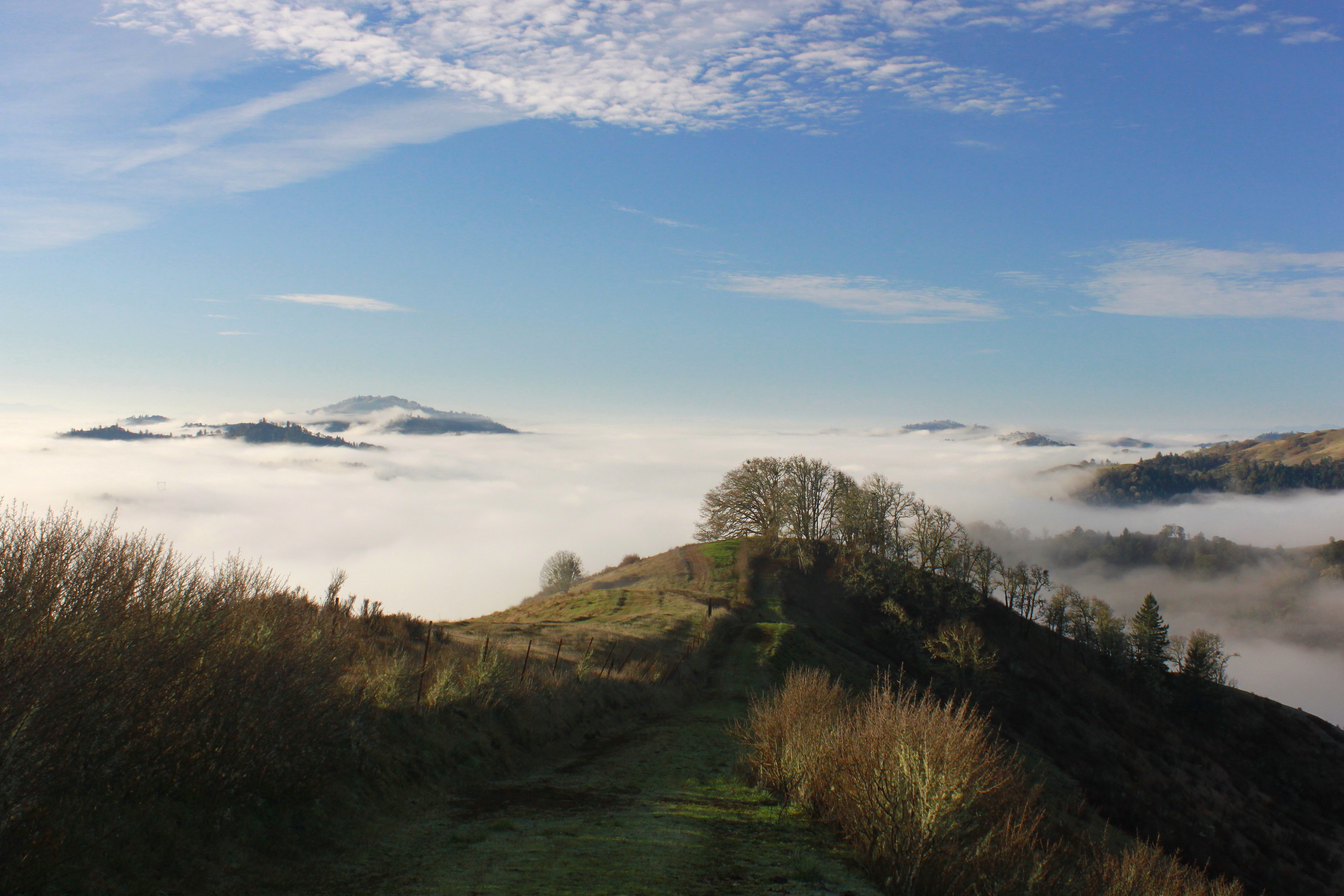
The fog in the river valley
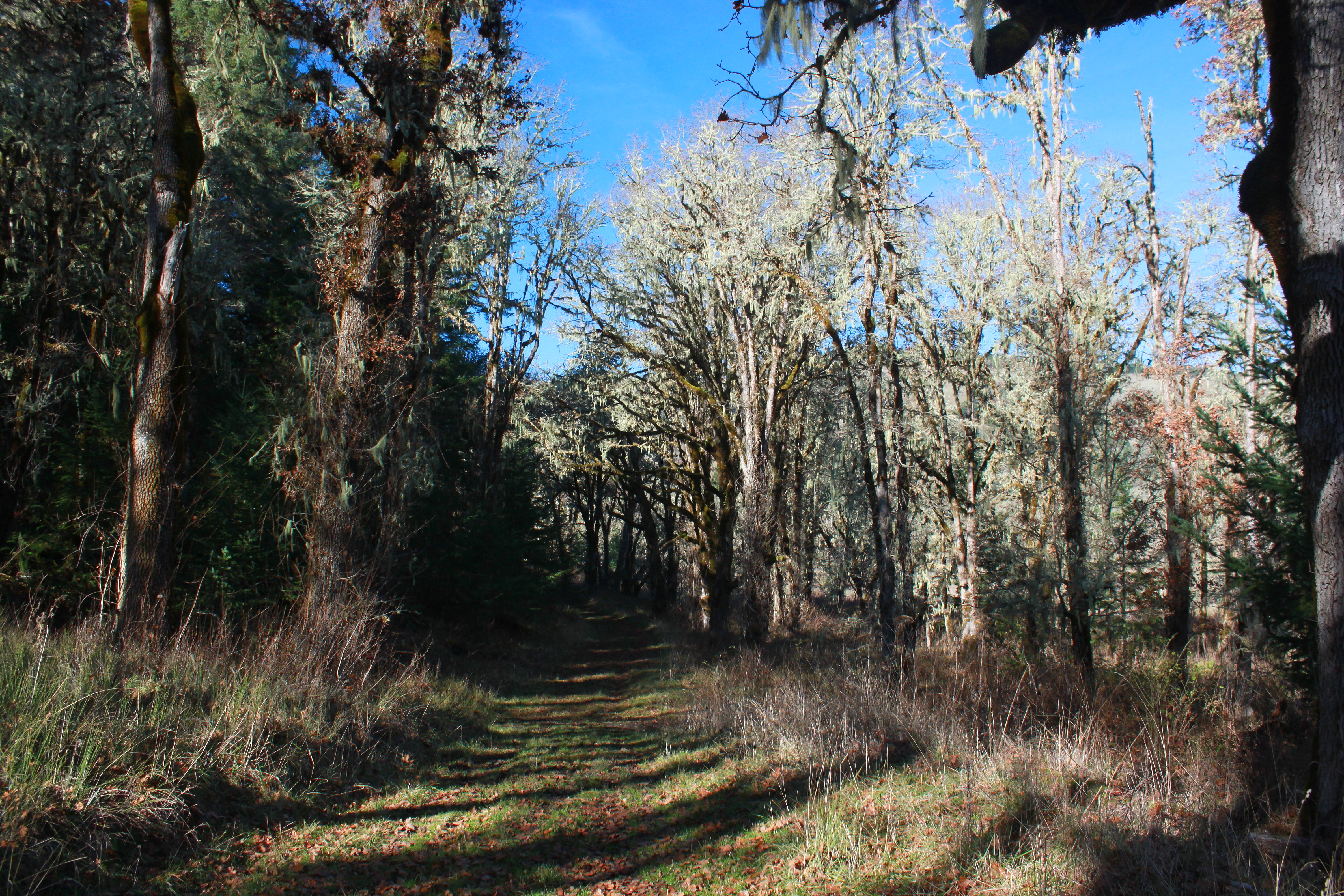
Trail shot

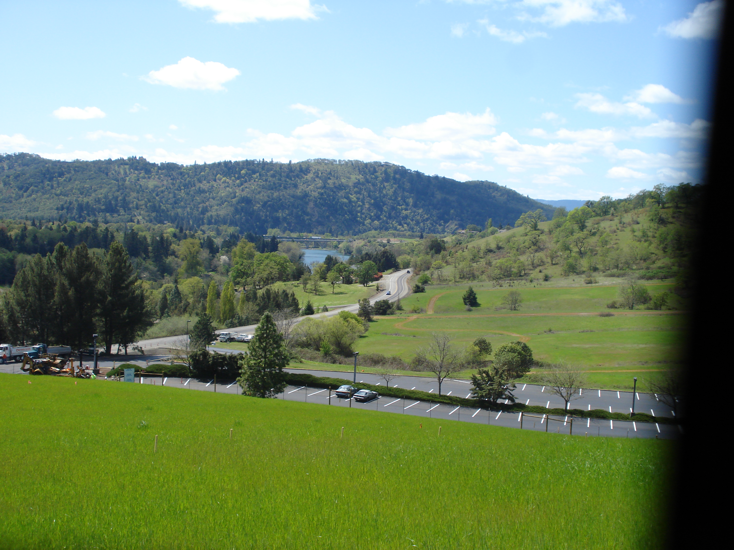
driving through Roseburg, OR
easter 2009 101
Feels like I'm in the Himalayas
I'd eventually be on that far ridge
Topographic Map of Brumbach Rd, Roseburg, OR, USA
Find elevation by address:

Places near Brumbach Rd, Roseburg, OR, USA:
231 Marilyn St
Dixonville
539 Hatfield Dr
757 Cattle Dr
Roseburg, OR, USA
Douglas County
Roseburg
613 Ne Cummins St
2304 Se Waldon Ave
904 Se Murray Ct
1611 Ne Norma Jean Dr
1831 Ne Alameda Ave
2151 Ne Alabaster Ave
1821 Ne Alameda Ave
2002 Ne Klamath Ave
390 Se Terrace Dr
Roseburg
762 Se Chadwick St
968 Ne Stephens St
797 Ne Garden Valley Blvd
Recent Searches:
- Elevation of Corso Fratelli Cairoli, 35, Macerata MC, Italy
- Elevation of Tallevast Rd, Sarasota, FL, USA
- Elevation of 4th St E, Sonoma, CA, USA
- Elevation of Black Hollow Rd, Pennsdale, PA, USA
- Elevation of Oakland Ave, Williamsport, PA, USA
- Elevation of Pedrógão Grande, Portugal
- Elevation of Klee Dr, Martinsburg, WV, USA
- Elevation of Via Roma, Pieranica CR, Italy
- Elevation of Tavkvetili Mountain, Georgia
- Elevation of Hartfords Bluff Cir, Mt Pleasant, SC, USA