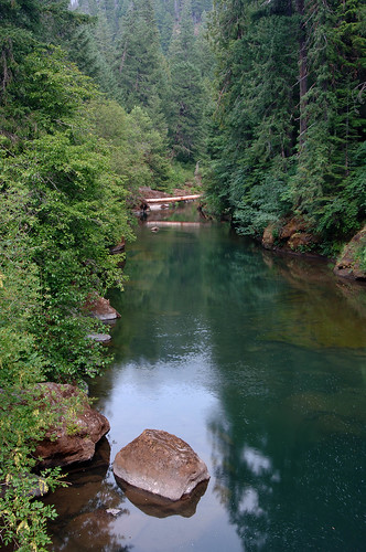
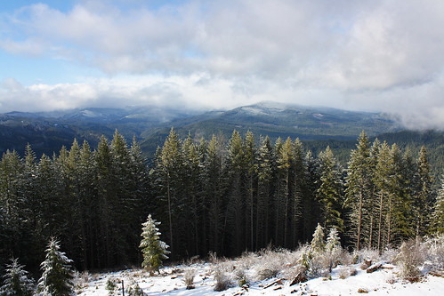
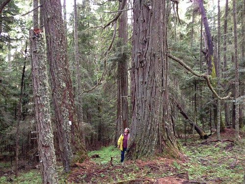
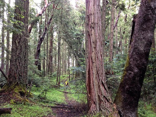
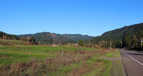
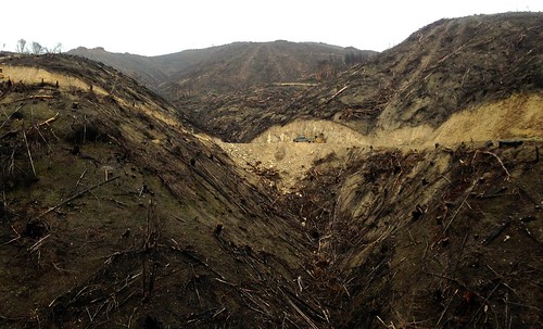
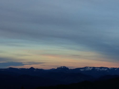
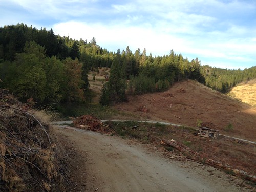
Elevation of Milo, OR, USA
Location: United States > Oregon > Douglas County >
Longitude: -123.04861
Latitude: 42.930833
Elevation: 279m / 915feet
Barometric Pressure: 98KPa
Related Photos:
Topographic Map of Milo, OR, USA
Find elevation by address:

Places near Milo, OR, USA:
Tiller
11452 Upper Cow Creek Rd
4514 S Umpqua Rd
Drew
Canyonville, OR, USA
3550 Upper Cow Creek Rd
36270 Tiller Trail Hwy
1588 Yeust Rd
3452 S Myrtle Rd
15505 N Myrtle Rd
37081 Tiller Trail Hwy
1075 Starveout Creek Rd
Canyonville
415 Knoll Terrace Dr
130 Creekside Rd
139 Se Wildwood Way
Azalea
Myrtle Creek
Surprise Valley
Woodpath Ln, Azalea, OR, USA
Recent Searches:
- Elevation of Corso Fratelli Cairoli, 35, Macerata MC, Italy
- Elevation of Tallevast Rd, Sarasota, FL, USA
- Elevation of 4th St E, Sonoma, CA, USA
- Elevation of Black Hollow Rd, Pennsdale, PA, USA
- Elevation of Oakland Ave, Williamsport, PA, USA
- Elevation of Pedrógão Grande, Portugal
- Elevation of Klee Dr, Martinsburg, WV, USA
- Elevation of Via Roma, Pieranica CR, Italy
- Elevation of Tavkvetili Mountain, Georgia
- Elevation of Hartfords Bluff Cir, Mt Pleasant, SC, USA
