Elevation of Starveout Creek Rd, Azalea, OR, USA
Location: United States > Oregon > Douglas County > Azalea >
Longitude: -123.22236
Latitude: 42.792709
Elevation: 509m / 1670feet
Barometric Pressure: 95KPa
Elevation Map:
Satellite Map:
Related Photos:
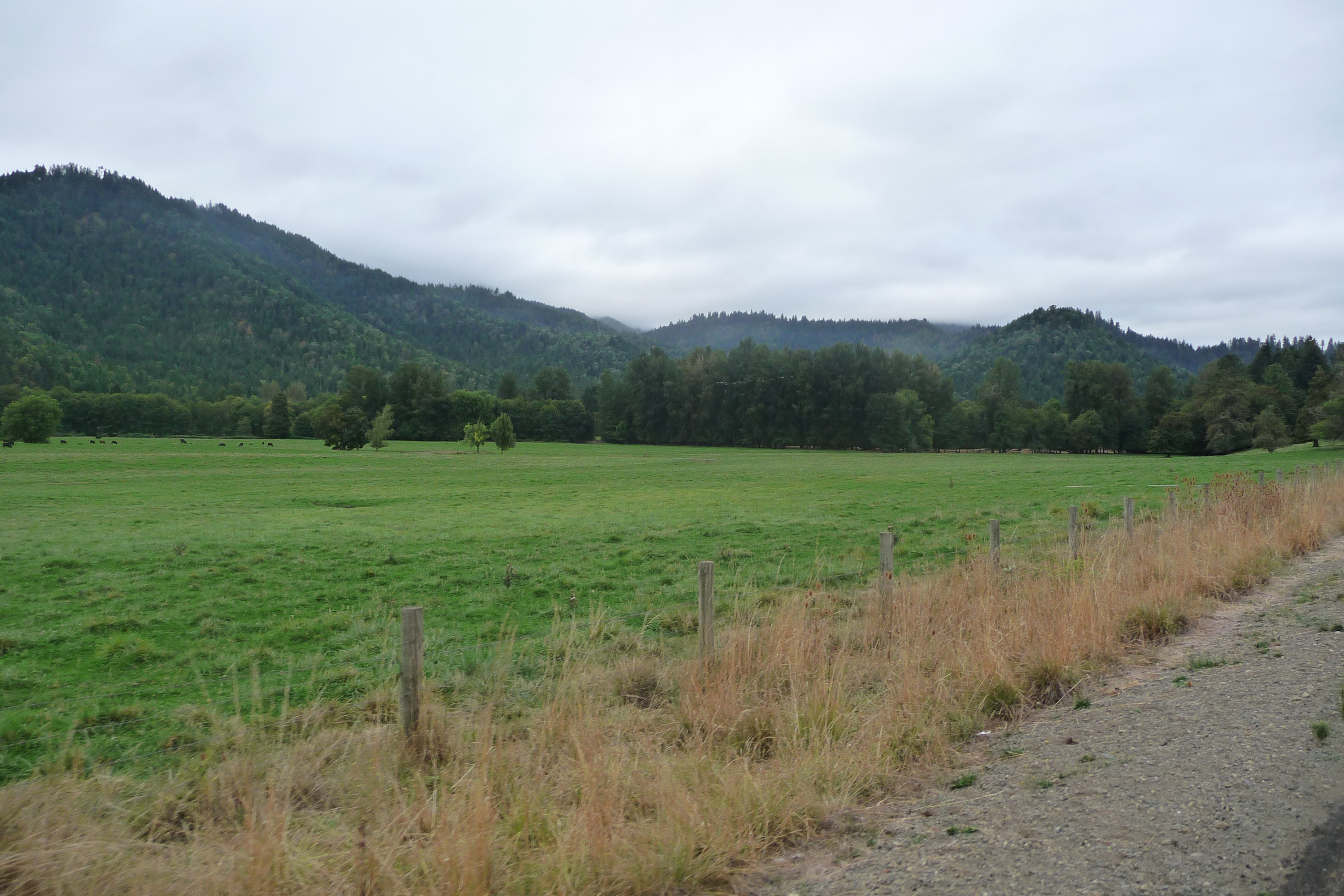
Cycle Oregon 2009

A rainbow of hope!

Recently Added-77

Recently Added-85
Recently Added-86

Recently Added-82
ORTrip 034
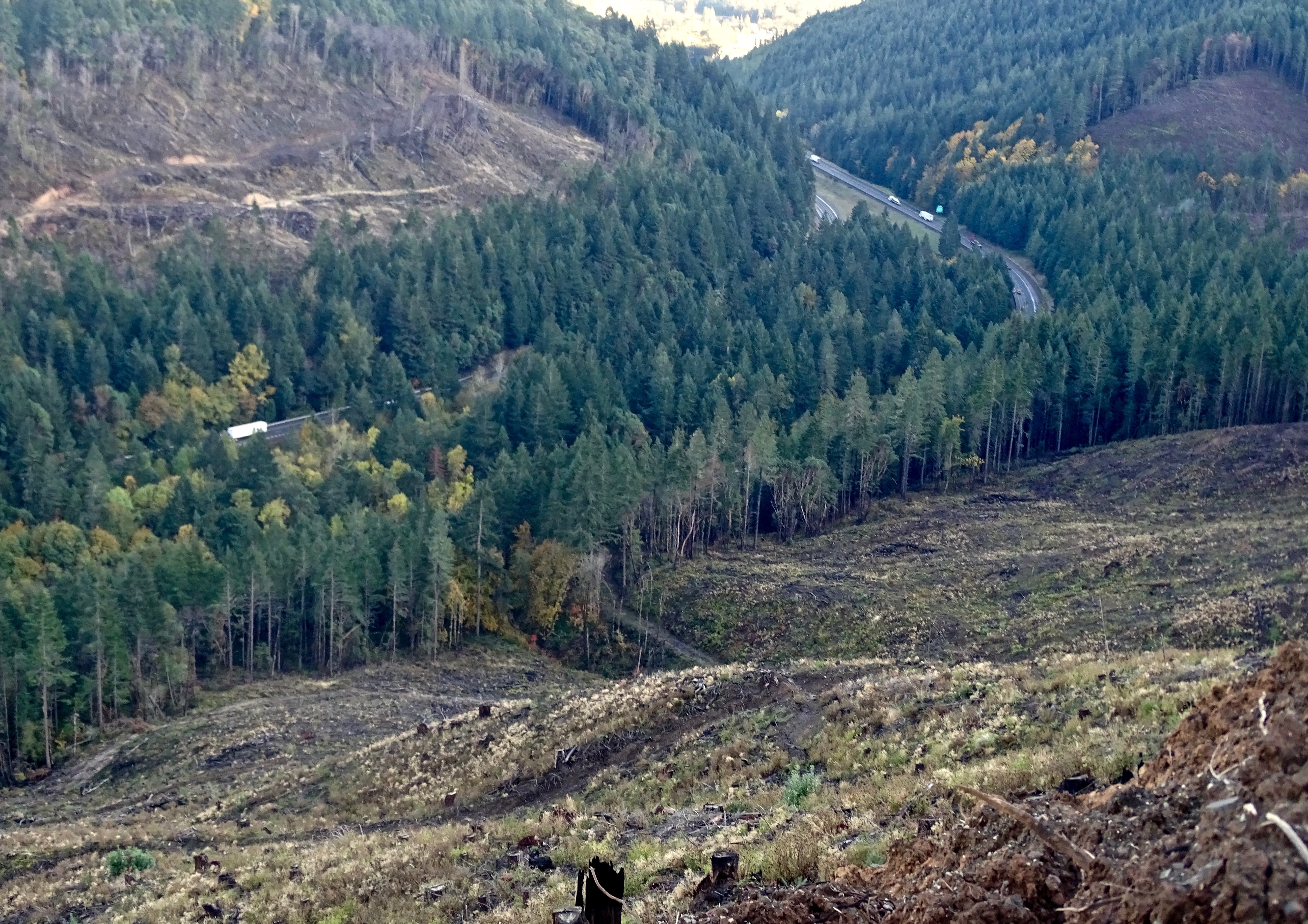
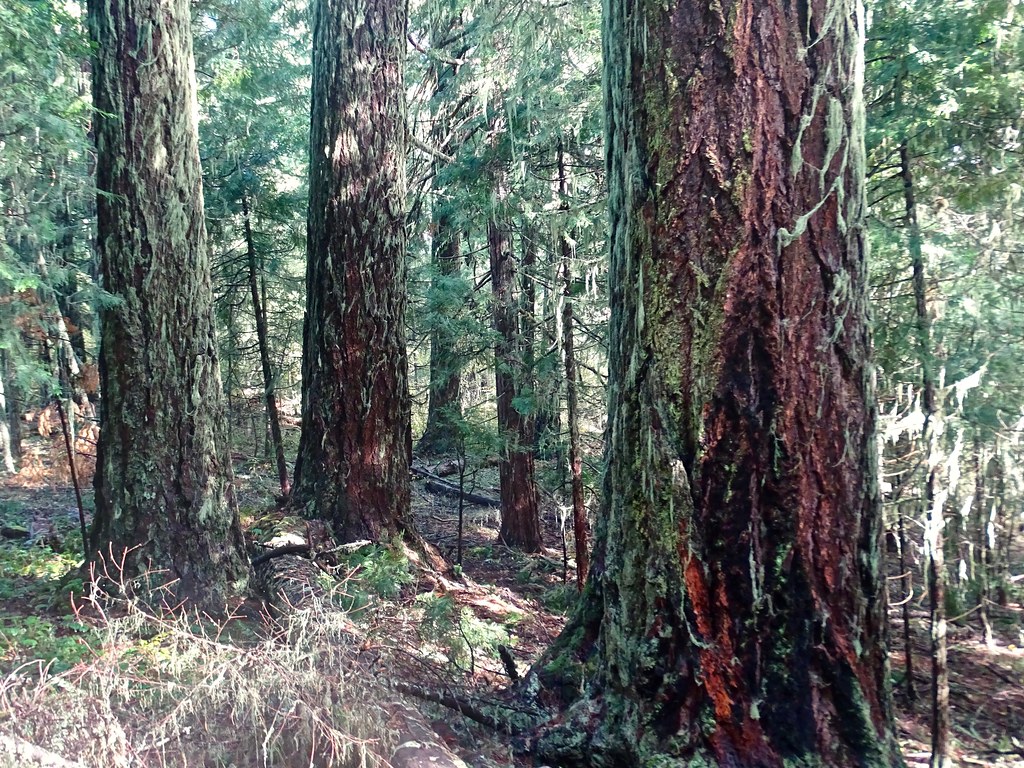
Interstate 5 from above the beauty strip.
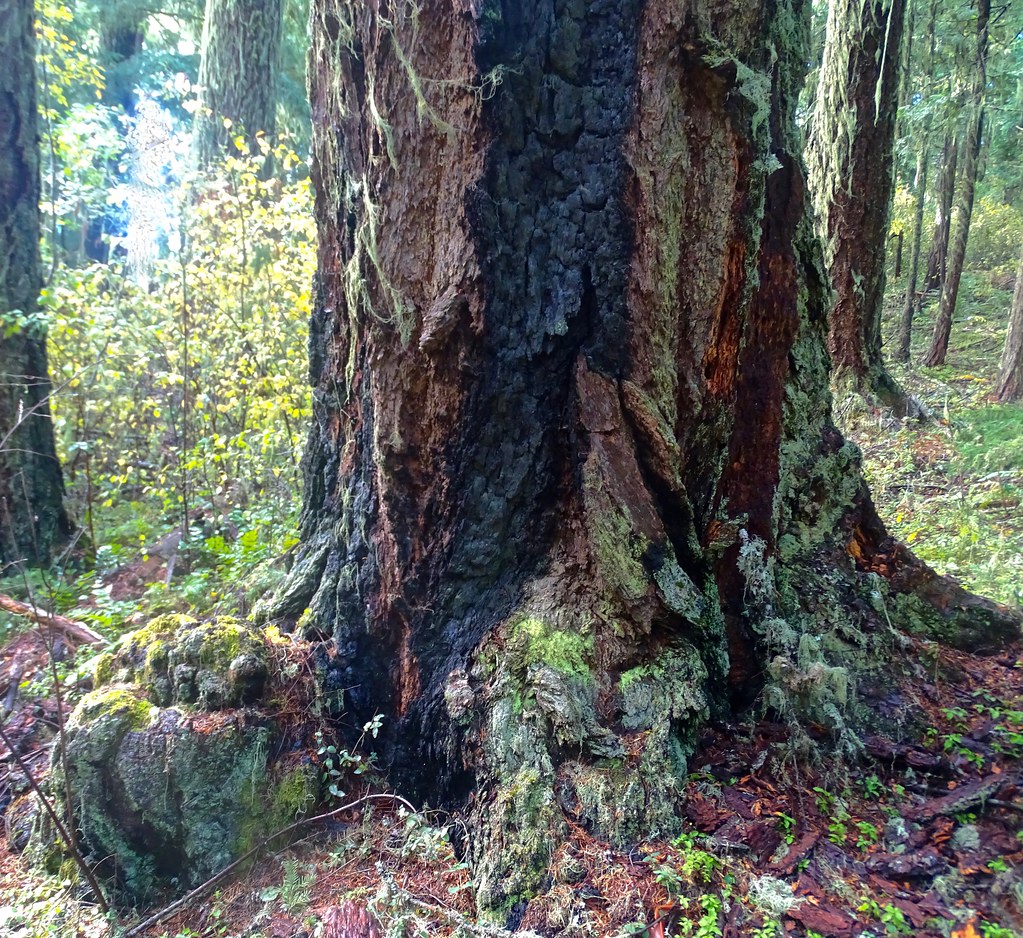
Really old Douglas Fir tree
Trees are about 250 years old

Raped Heart
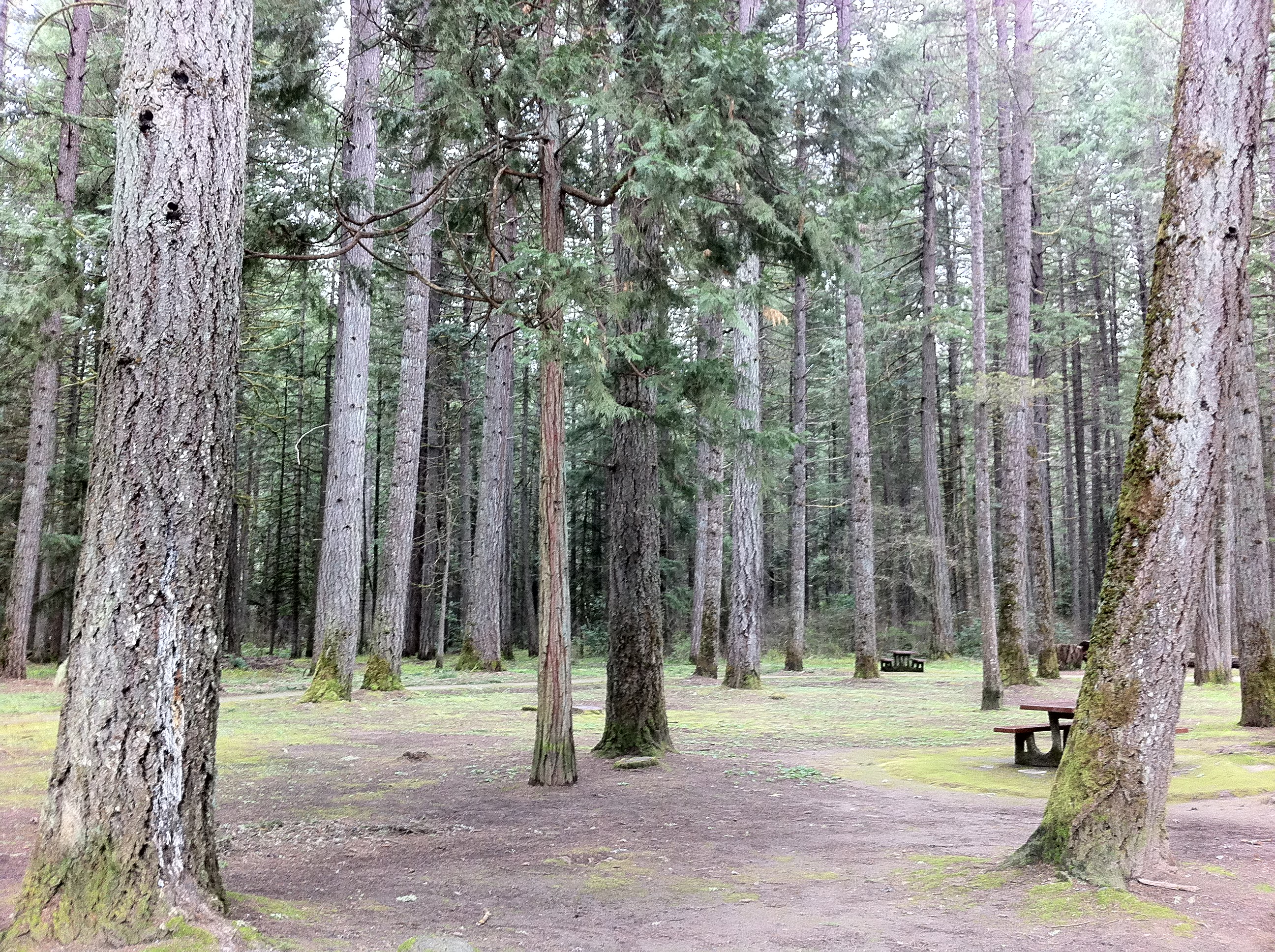
Serenity at a rest park.

Morning Calm
Topographic Map of Starveout Creek Rd, Azalea, OR, USA
Find elevation by address:

Places near Starveout Creek Rd, Azalea, OR, USA:
1588 Yeust Rd
3550 Upper Cow Creek Rd
Azalea
Woodpath Ln, Azalea, OR, USA
11452 Upper Cow Creek Rd
505 Barton Rd
Rogue River
Canyonville, OR, USA
4505 Coyote Creek Rd
415 Knoll Terrace Dr
Canyonville
Fernvale
Golden
130 Creekside Rd
Surprise Valley
Placer
311 Golden Creek Ct
1237 Shanks Creek Rd
Wolf Creek
5090 Pleasant Creek Rd
Recent Searches:
- Elevation of Corso Fratelli Cairoli, 35, Macerata MC, Italy
- Elevation of Tallevast Rd, Sarasota, FL, USA
- Elevation of 4th St E, Sonoma, CA, USA
- Elevation of Black Hollow Rd, Pennsdale, PA, USA
- Elevation of Oakland Ave, Williamsport, PA, USA
- Elevation of Pedrógão Grande, Portugal
- Elevation of Klee Dr, Martinsburg, WV, USA
- Elevation of Via Roma, Pieranica CR, Italy
- Elevation of Tavkvetili Mountain, Georgia
- Elevation of Hartfords Bluff Cir, Mt Pleasant, SC, USA