Elevation of Woodpath Ln, Azalea, OR, USA
Location: United States > Oregon > Douglas County > Azalea >
Longitude: -123.27143
Latitude: 42.7789689
Elevation: 476m / 1562feet
Barometric Pressure: 96KPa
Elevation Map:
Satellite Map:
Related Photos:
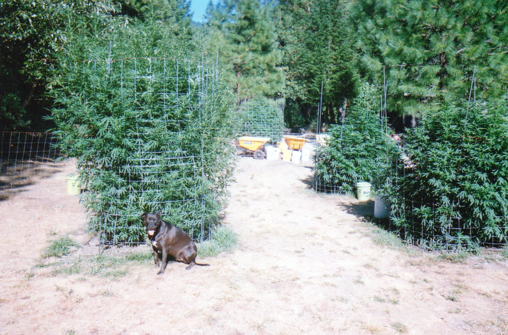
Oregon Medical Marijuana Outdoor Grow
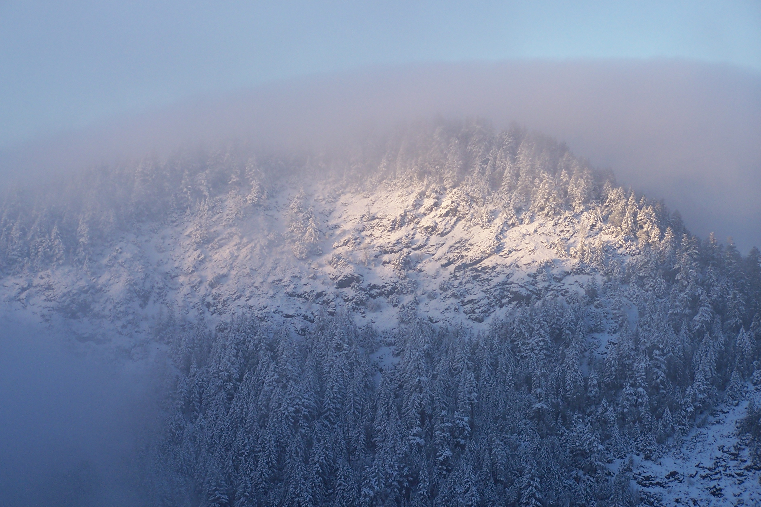
A winters view from Londons Peak
Cycle Oregon 2009

Morning Calm

A rainbow of hope!

Recently Added-77

Recently Added-85
Serenity at a rest park.

Recently Added-86

Recently Added-82
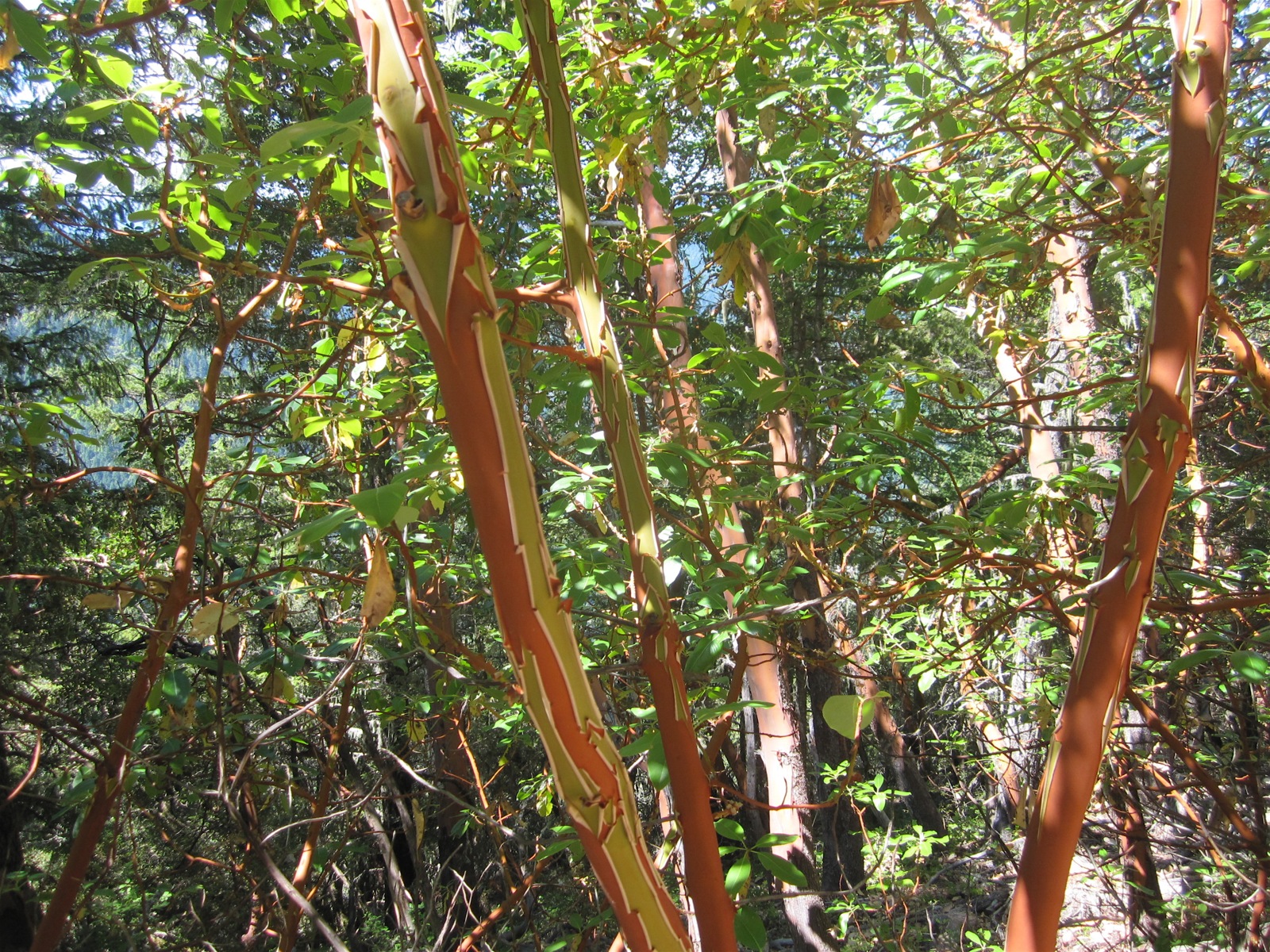
Manzanita trees
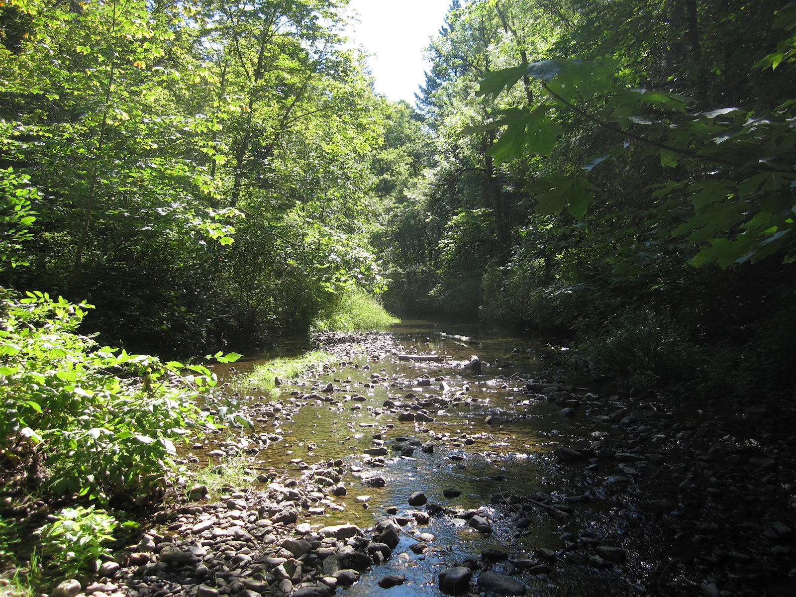
Wolf Creek
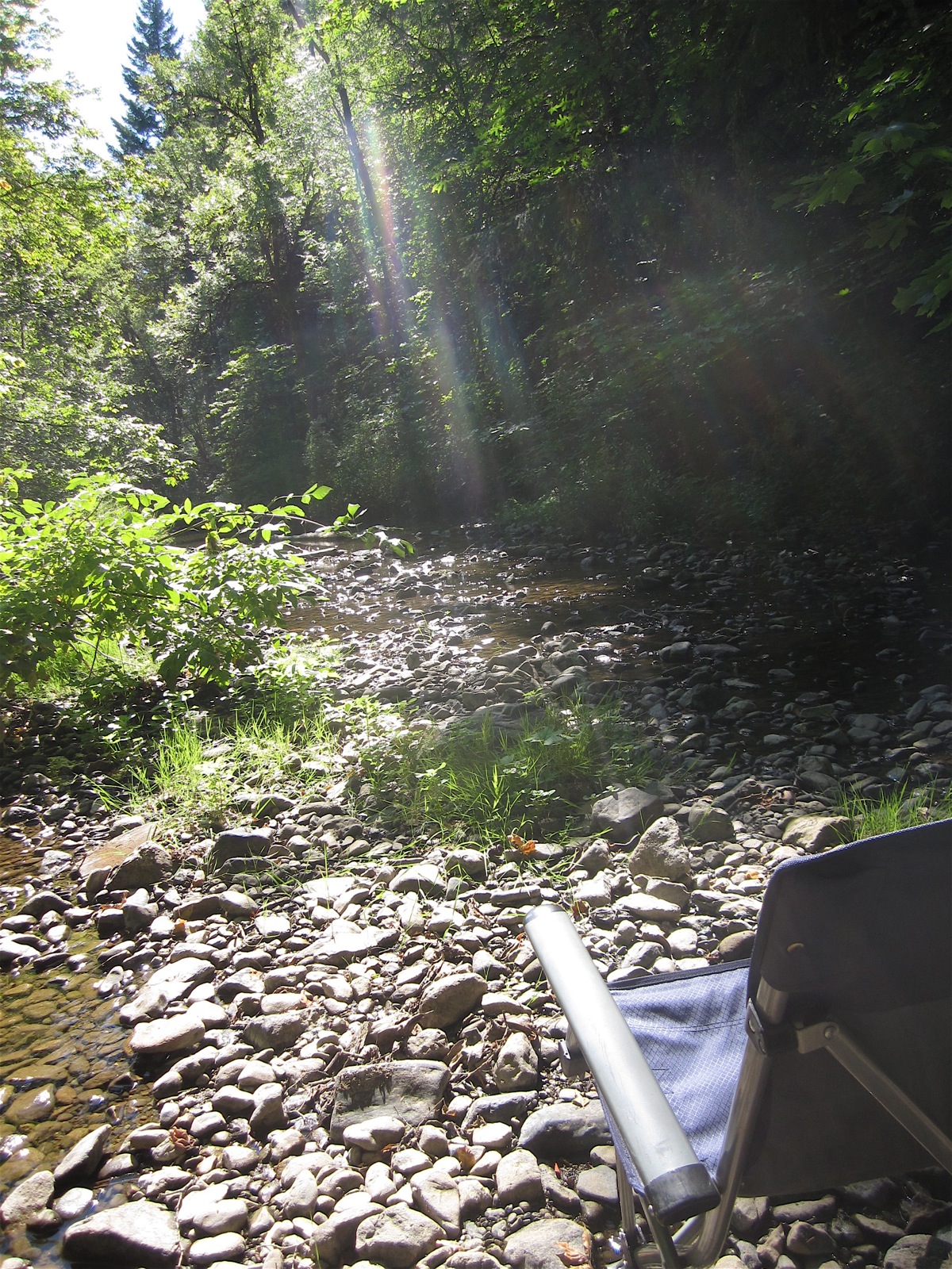
Wolf Creek
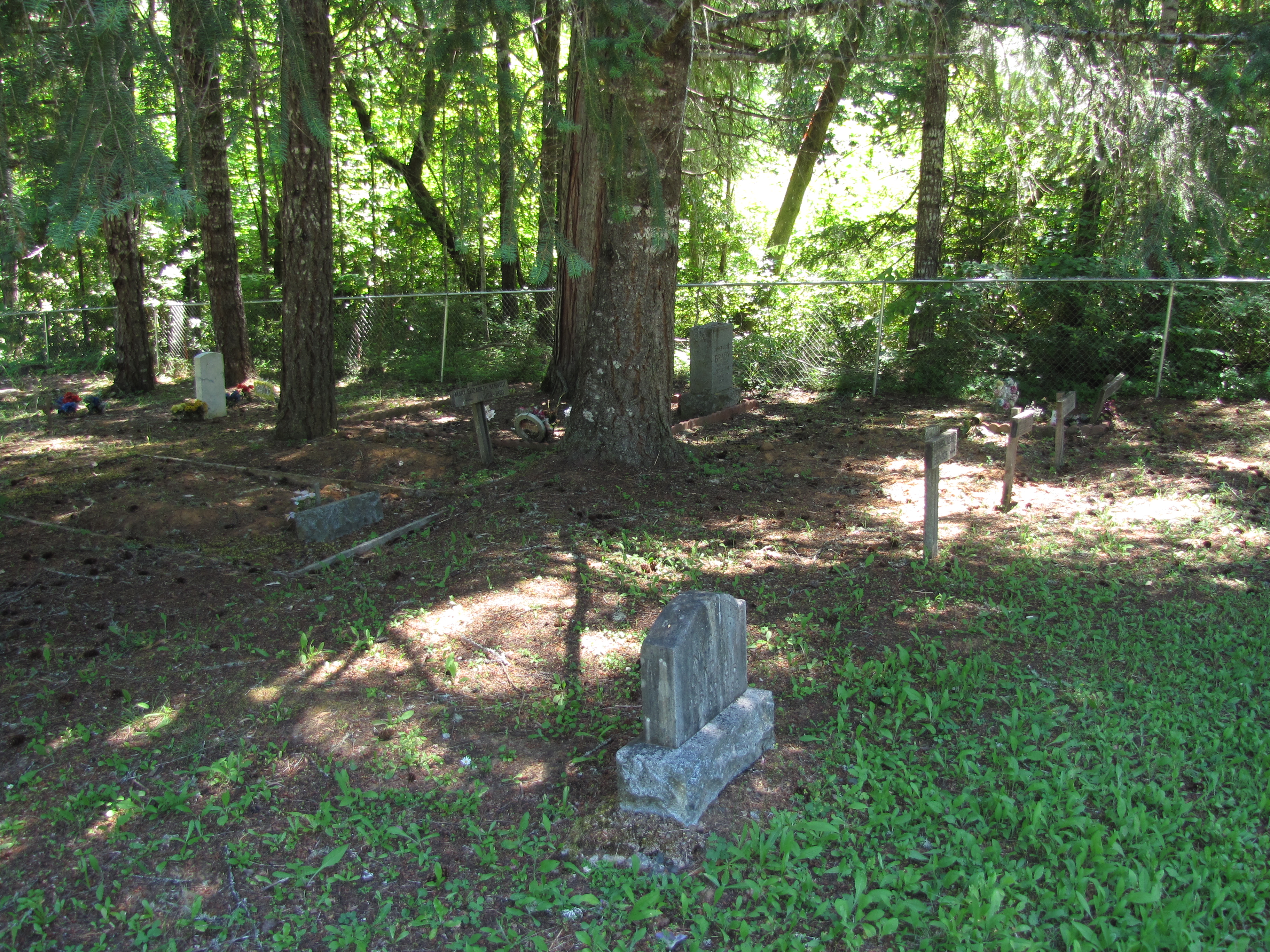
glendale memorial cemetery - glendale, or
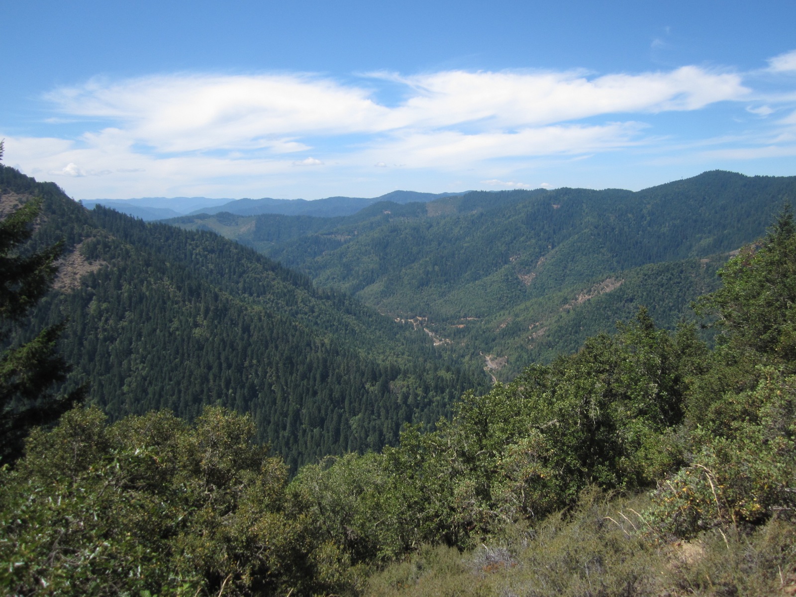
London Peak Trail
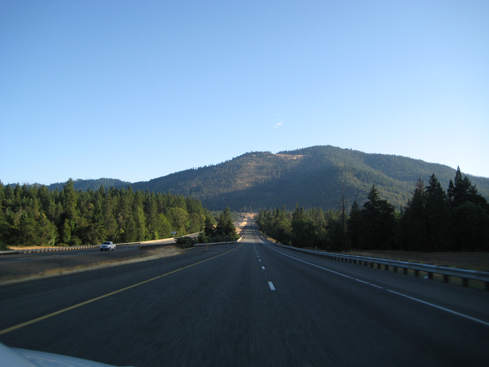
ORTrip 034

Raped Heart
Topographic Map of Woodpath Ln, Azalea, OR, USA
Find elevation by address:

Places near Woodpath Ln, Azalea, OR, USA:
Azalea
1075 Starveout Creek Rd
505 Barton Rd
1588 Yeust Rd
Rogue River
3550 Upper Cow Creek Rd
Fernvale
4505 Coyote Creek Rd
Golden
11452 Upper Cow Creek Rd
415 Knoll Terrace Dr
Canyonville
Wolf Creek
Placer
311 Golden Creek Ct
Glendale
Canyonville, OR, USA
130 Creekside Rd
1237 Shanks Creek Rd
1100 Placer Rd
Recent Searches:
- Elevation of Corso Fratelli Cairoli, 35, Macerata MC, Italy
- Elevation of Tallevast Rd, Sarasota, FL, USA
- Elevation of 4th St E, Sonoma, CA, USA
- Elevation of Black Hollow Rd, Pennsdale, PA, USA
- Elevation of Oakland Ave, Williamsport, PA, USA
- Elevation of Pedrógão Grande, Portugal
- Elevation of Klee Dr, Martinsburg, WV, USA
- Elevation of Via Roma, Pieranica CR, Italy
- Elevation of Tavkvetili Mountain, Georgia
- Elevation of Hartfords Bluff Cir, Mt Pleasant, SC, USA