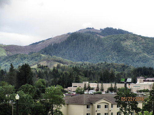
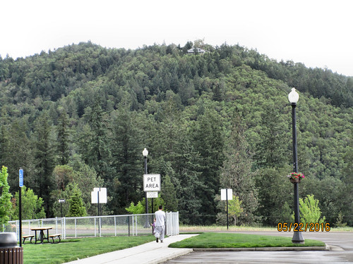
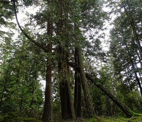
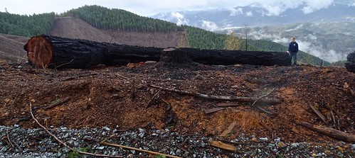
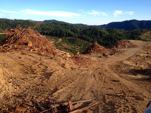
Elevation of Knoll Terrace Dr, Canyonville, OR, USA
Location: United States > Oregon > Douglas County > Canyonville >
Longitude: -123.28823
Latitude: 42.922547
Elevation: 313m / 1027feet
Barometric Pressure: 98KPa
Related Photos:
Topographic Map of Knoll Terrace Dr, Canyonville, OR, USA
Find elevation by address:

Places near Knoll Terrace Dr, Canyonville, OR, USA:
Canyonville
130 Creekside Rd
Surprise Valley
Canyonville, OR, USA
Riddle
Myrtle Creek
139 Se Wildwood Way
2140 Skyline Dr
3452 S Myrtle Rd
Azalea
1588 Yeust Rd
2997 Boomer Hill Rd
3550 Upper Cow Creek Rd
Woodpath Ln, Azalea, OR, USA
1075 Starveout Creek Rd
2455 Boomer Hill Rd
505 Barton Rd
Fernvale
Raleigh Drive
11452 Upper Cow Creek Rd
Recent Searches:
- Elevation of Corso Fratelli Cairoli, 35, Macerata MC, Italy
- Elevation of Tallevast Rd, Sarasota, FL, USA
- Elevation of 4th St E, Sonoma, CA, USA
- Elevation of Black Hollow Rd, Pennsdale, PA, USA
- Elevation of Oakland Ave, Williamsport, PA, USA
- Elevation of Pedrógão Grande, Portugal
- Elevation of Klee Dr, Martinsburg, WV, USA
- Elevation of Via Roma, Pieranica CR, Italy
- Elevation of Tavkvetili Mountain, Georgia
- Elevation of Hartfords Bluff Cir, Mt Pleasant, SC, USA


