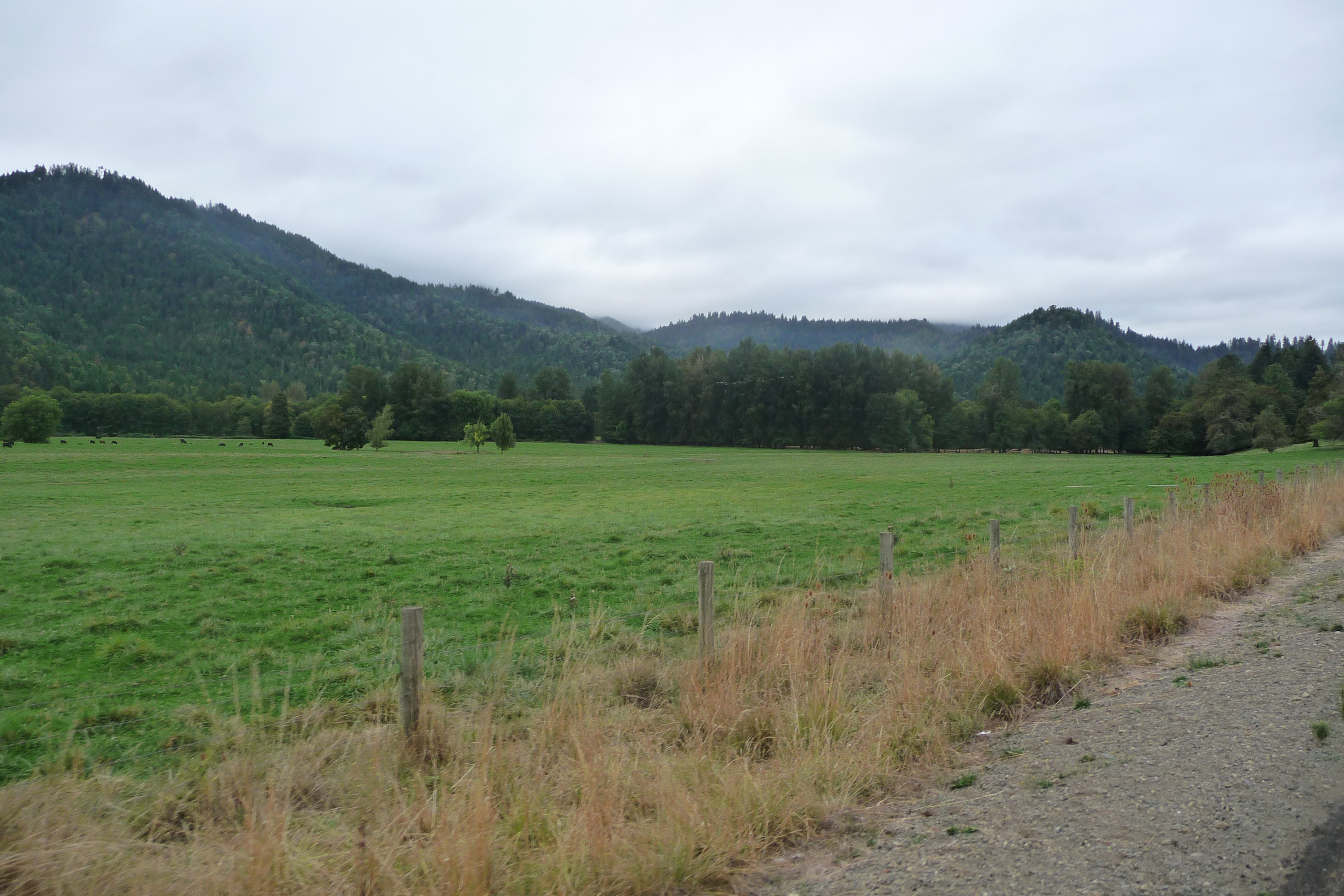
Elevation of Yeust Rd, Azalea, OR, USA
Location: United States > Oregon > Douglas County > Azalea >
Longitude: -123.21526
Latitude: 42.8116958
Elevation: 503m / 1650feet
Barometric Pressure: 95KPa
Elevation Map:
Satellite Map:
Related Photos:

Flowers At My Dinner Table
Cycle Oregon 2009
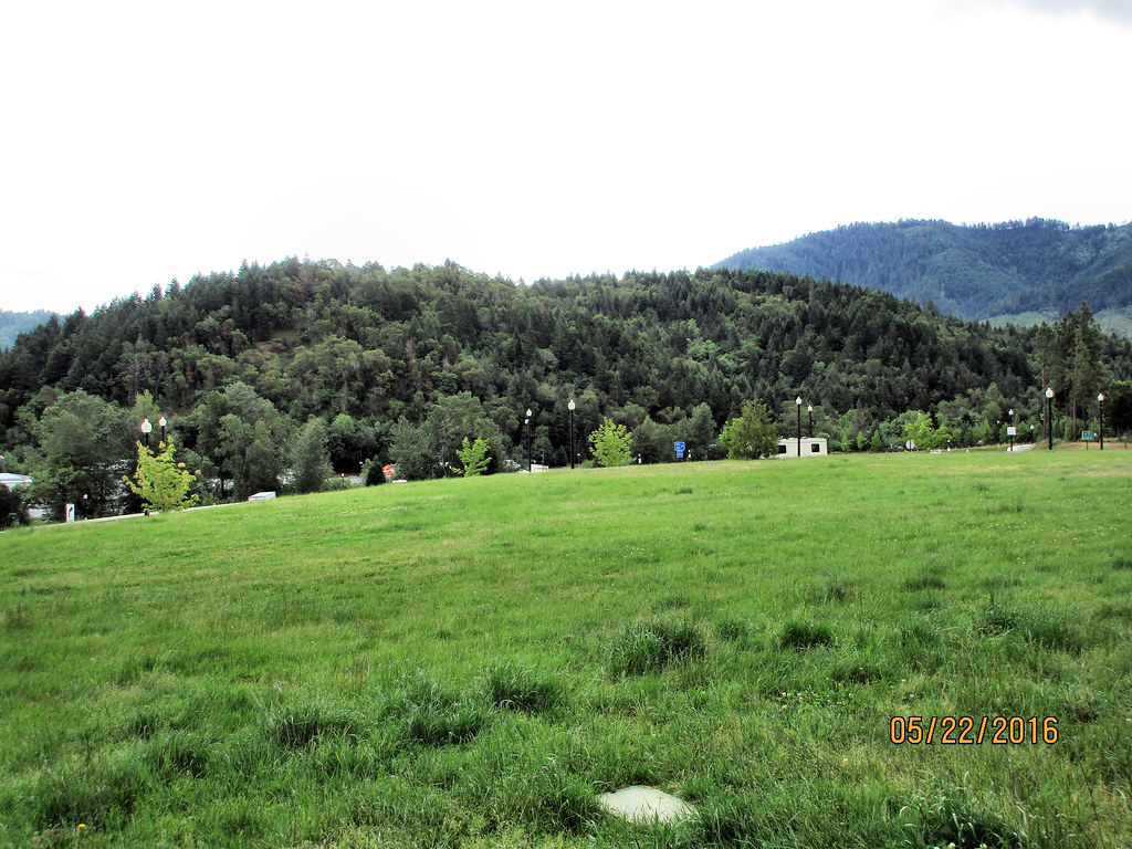
CAN-0522-008 - View
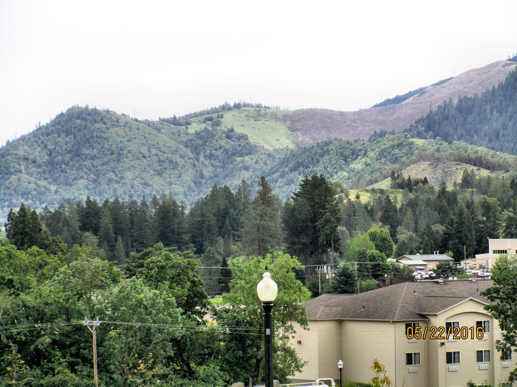
CAN-0522-009 - View
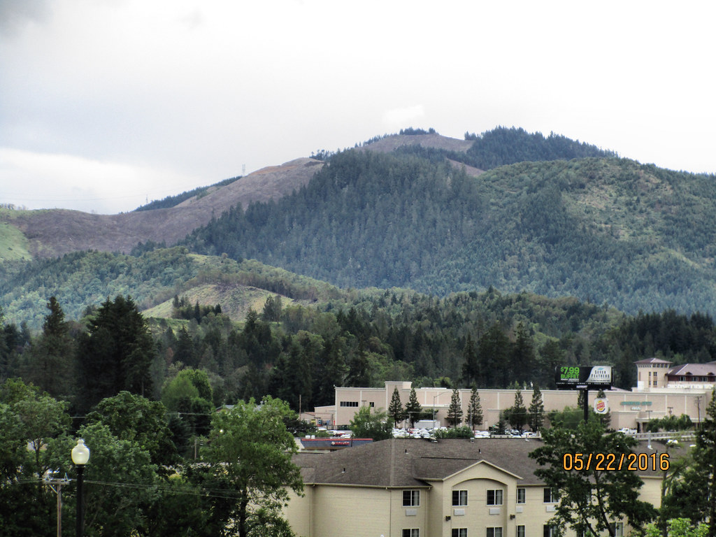
CAN-0522-011 - View
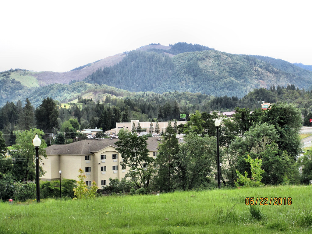
CAN-0522-006 - View
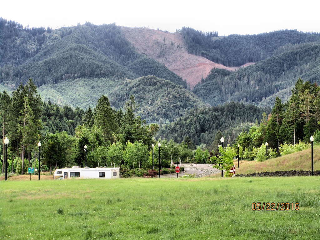
CAN-0522-007 - View
CAN-0522-010 - View

Casino restoorm

bound to fall...
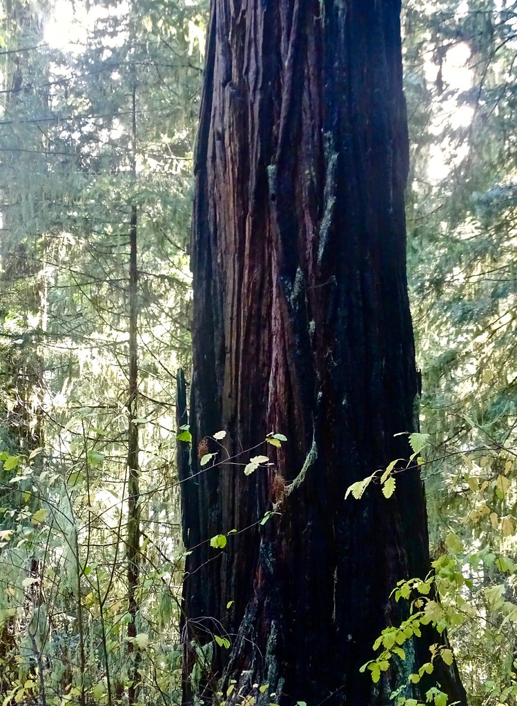
Old Growth Incense Cedar tree

Recently Added-74
Recently Added-73

Recently Added-70
Rest Area. Canyonville,Oregon

Morning Calm

masonic cemetery - canyonville, or
masonic cemetery - canyonville, or
Pioneer Park: Bear

Mon Jul 9 15:10:03 GMT-0700 2007

USA Trip Summer 2018
Growing Oregon magazine photo 1

IMG_2336.JPG

retirement living
Topographic Map of Yeust Rd, Azalea, OR, USA
Find elevation by address:

Places near Yeust Rd, Azalea, OR, USA:
3550 Upper Cow Creek Rd
1075 Starveout Creek Rd
Azalea
Woodpath Ln, Azalea, OR, USA
11452 Upper Cow Creek Rd
Canyonville, OR, USA
505 Barton Rd
415 Knoll Terrace Dr
Canyonville
Rogue River
130 Creekside Rd
Fernvale
4505 Coyote Creek Rd
Surprise Valley
Golden
Riddle
Milo
Placer
311 Golden Creek Ct
Wolf Creek
Recent Searches:
- Elevation of Corso Fratelli Cairoli, 35, Macerata MC, Italy
- Elevation of Tallevast Rd, Sarasota, FL, USA
- Elevation of 4th St E, Sonoma, CA, USA
- Elevation of Black Hollow Rd, Pennsdale, PA, USA
- Elevation of Oakland Ave, Williamsport, PA, USA
- Elevation of Pedrógão Grande, Portugal
- Elevation of Klee Dr, Martinsburg, WV, USA
- Elevation of Via Roma, Pieranica CR, Italy
- Elevation of Tavkvetili Mountain, Georgia
- Elevation of Hartfords Bluff Cir, Mt Pleasant, SC, USA