Elevation of Creekside Rd, Canyonville, OR, USA
Location: United States > Oregon > Douglas County > Canyonville >
Longitude: -123.29048
Latitude: 42.9399217
Elevation: 220m / 722feet
Barometric Pressure: 99KPa
Elevation Map:
Satellite Map:
Related Photos:

Flowers At My Dinner Table

A view declining

Run Along

360 Degree Warped View of the Community Center in Riddle
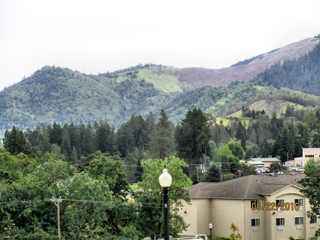
CAN-0522-009 - View
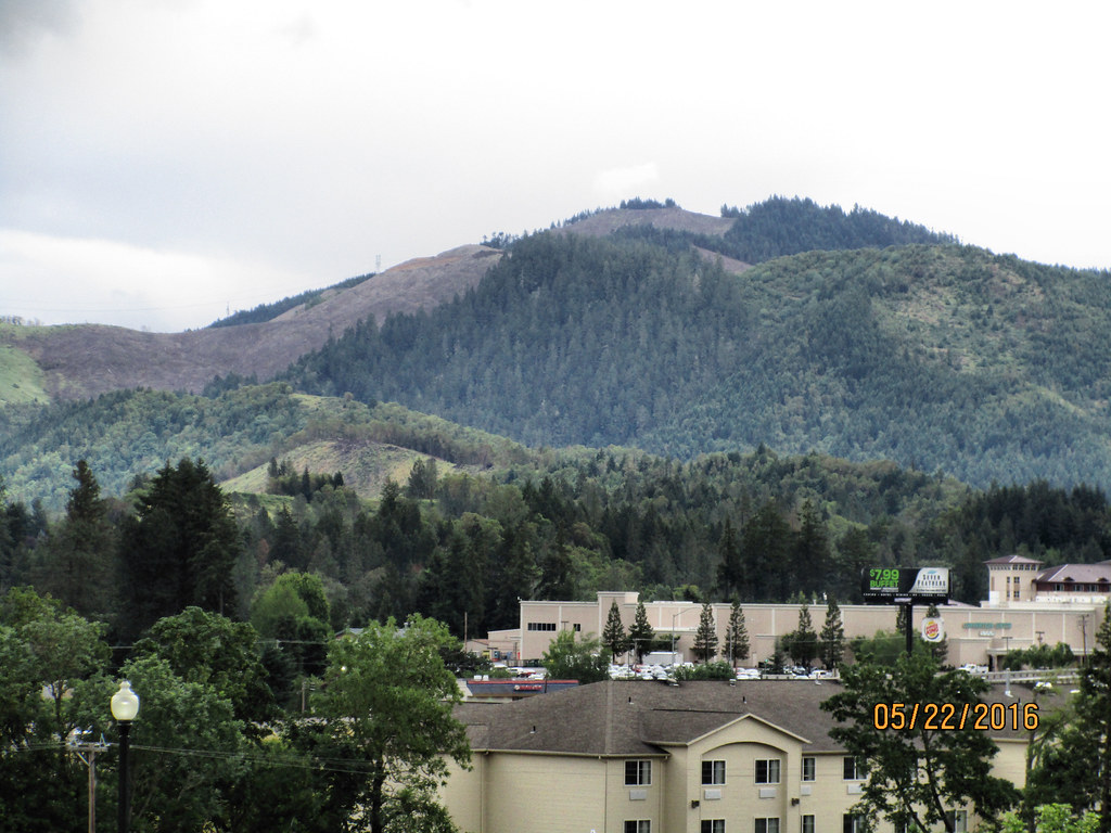
CAN-0522-011 - View
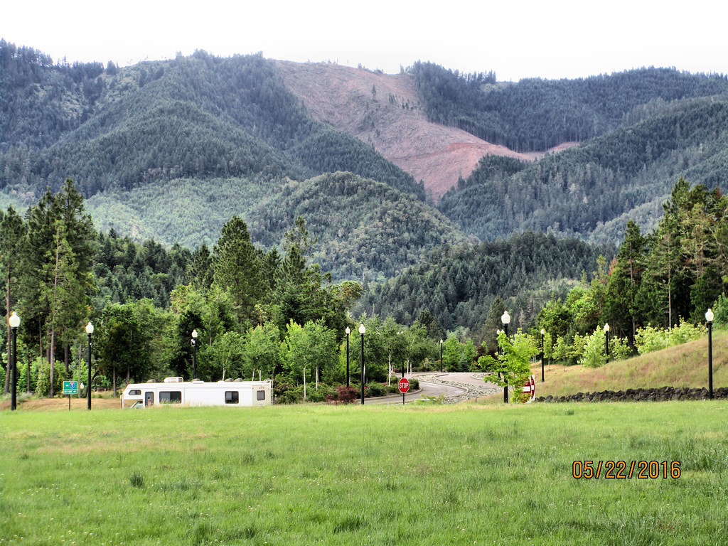
CAN-0522-007 - View
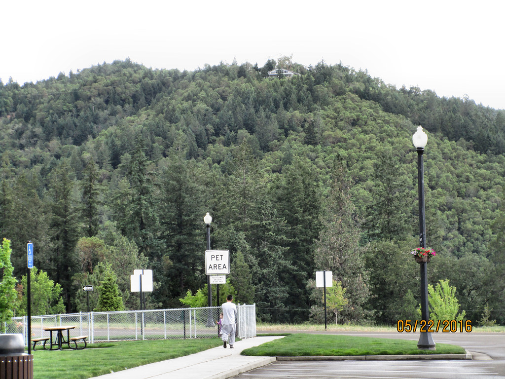
CAN-0522-013 - View
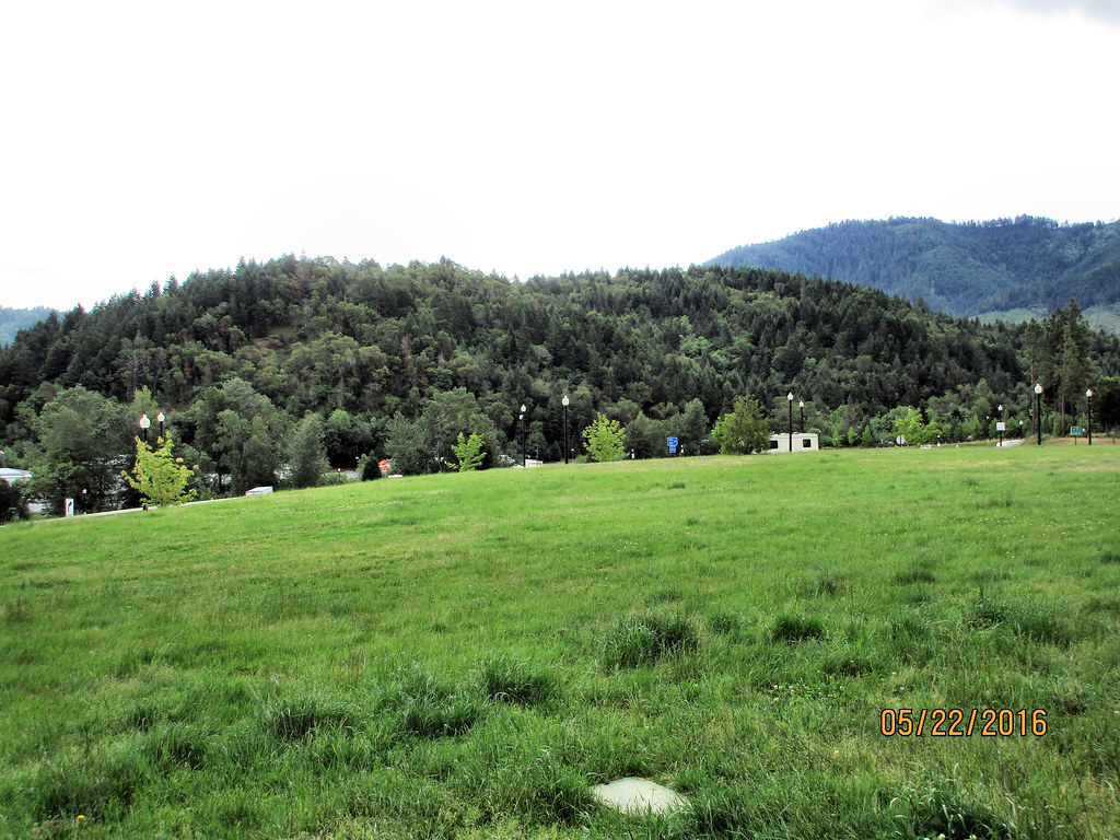
CAN-0522-008 - View
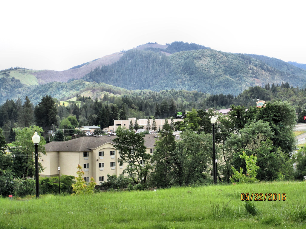
CAN-0522-006 - View
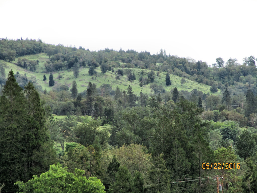
CAN-0522-010 - View
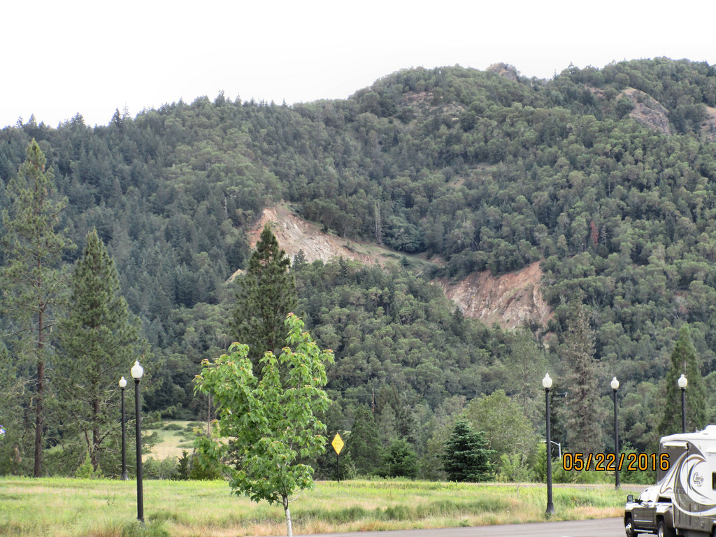
CAN-0522-012 - View

Evening In Oregon
White Castle Pilot Project
IMG_4997.JPG
Seneca landslides

Morning Calm

Recently Added-77

Recently Added-85
On the road to San Francisco 03

Stampede of the Storm
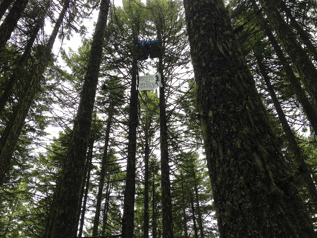
White Castle tree-sit protest
2012-10-19_13-34-48_535
Oregon Winter 2012

Oregon Winter 2012

IMG_5004.JPG
Driving home

Recently Added-62
2012-10-19_13-34-39_58
2012-10-19_13-37-20_55
2012-10-19_13-34-57_667
Rest stop in Oregon
odd fellows cemetery - myrtle creek, or
Topographic Map of Creekside Rd, Canyonville, OR, USA
Find elevation by address:

Places near Creekside Rd, Canyonville, OR, USA:
Canyonville
415 Knoll Terrace Dr
Surprise Valley
Riddle
Canyonville, OR, USA
Myrtle Creek
139 Se Wildwood Way
2140 Skyline Dr
3452 S Myrtle Rd
2997 Boomer Hill Rd
2455 Boomer Hill Rd
Azalea
1588 Yeust Rd
3550 Upper Cow Creek Rd
Woodpath Ln, Azalea, OR, USA
1075 Starveout Creek Rd
Raleigh Drive
505 Barton Rd
Fernvale
Douglas County
Recent Searches:
- Elevation of Corso Fratelli Cairoli, 35, Macerata MC, Italy
- Elevation of Tallevast Rd, Sarasota, FL, USA
- Elevation of 4th St E, Sonoma, CA, USA
- Elevation of Black Hollow Rd, Pennsdale, PA, USA
- Elevation of Oakland Ave, Williamsport, PA, USA
- Elevation of Pedrógão Grande, Portugal
- Elevation of Klee Dr, Martinsburg, WV, USA
- Elevation of Via Roma, Pieranica CR, Italy
- Elevation of Tavkvetili Mountain, Georgia
- Elevation of Hartfords Bluff Cir, Mt Pleasant, SC, USA