Elevation of Skyline Dr, Myrtle Creek, OR, USA

Location: United States > Oregon > Douglas County > Myrtle Creek >

Longitude: -123.34575

Latitude: 43.0086558

Elevation: -10000m / -32808feet

Barometric Pressure: 295KPa

Elevation Map:

elevation map of Skyline Dr, Myrtle Creek, OR, USA
Satellite Map:

Satellite map of Skyline Dr, Myrtle Creek, OR, USA

Related Photos:

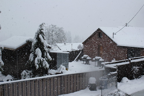
winter snowstorm snow storm southern oregon willamette umpqua valley roseburg winston douglas lane county
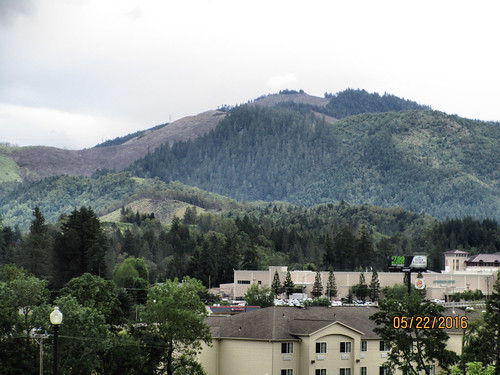
View, such as it was from the deck
canon emu canon70200f4l rebelxs eos1000d winstonsafari
Up, Close & Personal
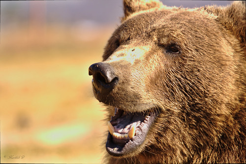
animals canon animalplanet brownbear canon70200f4l rebelxs eos1000d winstonsafari
Brown Bear
canon cattle animalplanet canon70200f4l rebelxs eos1000d winstonsafari
Battle-Ready Cattle
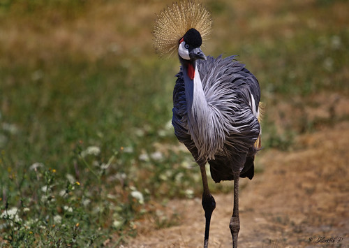
birds canon animalplanet canon70200f4l eastafricancrownedcrane rebelxs eos1000d winstonsafari
East African Crowned Crane
animals canon animalplanet canon70200f4l convicted rebelxs eos1000d winstonsafari
Convicted: Chapter 3
canon animalplanet brownbear canon70200f4l rebelxs eos1000d winstonsafari
Booo to you. And to your wife.
animals canon animalplanet brownbear canon70200f4l rebelxs eos1000d winstonsafari
Nature's own way of saying f**k you
animals canon emu animalplanet canon70200f4l rebelxs eos1000d winstonsafari
Emu Part 2
animals canon zebra animalplanet canon70200f4l rebelxs eos1000d winstonsafari
Beauty is in its stripes
sunset oregon canon polaroid archive 2006 polaroidtype600
A view declining
rigsrocks sevenfeatherscasino steakhouse kbarsteakhouse truckerpics steak beef flowers flowersatmydinnertable canyonvilleoregon macro depthoffield dof
Flowers At My Dinner Table
winter snowstorm snow storm southern oregon willamette umpqua valley roseburg winston douglas lane county
My dinner time view
2017 wildfire fire smoke horse prairie chetco bar north umpqua complex miller burn
My backyard view, in the afternoon
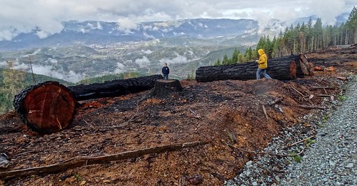
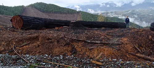
Cow Creek Tribal timber sale: Gold Bluff
winter snowstorm snow storm southern oregon willamette umpqua valley roseburg winston douglas lane county
No view to the mountains today
360 Degree Warped View of the Community Center in Riddle
360 Degree View of the community Center in Riddle
winter snowstorm snow storm southern oregon willamette umpqua valley roseburg winston douglas lane county
My view all day long
CAN-0522-010 - View
CAN-0522-011 - View
southumpquariver oregon i5 tricity surprisevalley monochrome bw blackandwhite leafart leaves stillwater autumn sonyilce9 fe2470mmf28gm october 2017 alvinharp
repose...
winston oregon bridge umpqua river 201205 hdr sky clouds water d800 facebook bridgepix bridgepixing arch steel truss
Winston Bridge, Oregon
Umpqua River proposed crossing near Winston
skipplittphotography skipperplitt
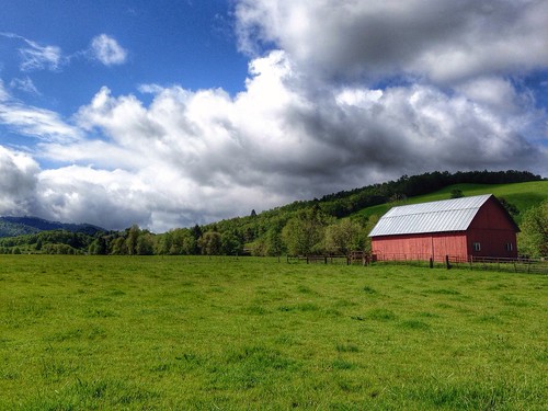
Farm off Roberts Creek Road, near Myrtle Creek, Oregon
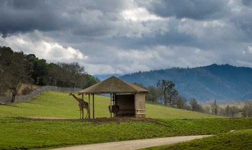
Giraffe at Wildlife Safari
oregon roadsideamerica winston noahsarkrestaurant biblicaltabernacle
Noah's Ark Restaurant
White Castle tree-sit protest
Cow Creek Tribal timber sale: Gold Bluff
White Castle Pilot Project
Seneca clearcuts around old hippie bus IMG_5747
Cow Creek Tribal timber sale: Gold Bluff
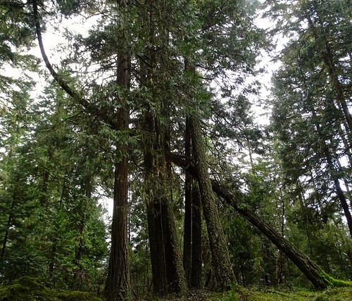
Incense Cedar sweeping toward the light
Cow Creek Tribal timber sale: Gold Bluff
Madrone tree in the forest
christmas tree pine oregon canon5d needles kodachrome25
Oregon Winter 2012
cemetery oregon puppy landscape memories hills oddfellows gravemarkers ioof douglascounty myrtlecreek deadmantalking
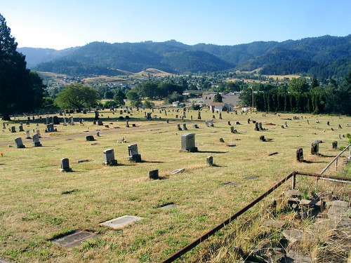
odd fellows cemetery - myrtle creek, or