Elevation of Coopermill Rd, Zanesville, OH, USA
Location: United States > Ohio > Muskingum County >
Longitude: -82.105551
Latitude: 39.914611
Elevation: 243m / 797feet
Barometric Pressure: 98KPa
Elevation Map:
Satellite Map:
Related Photos:
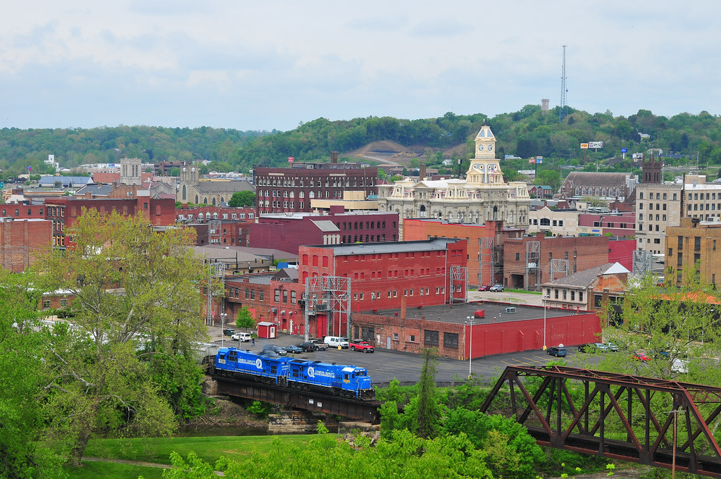
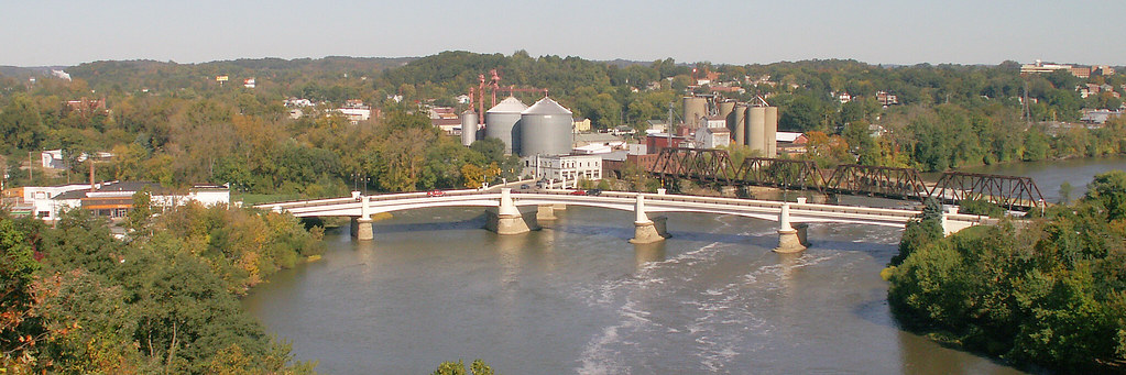
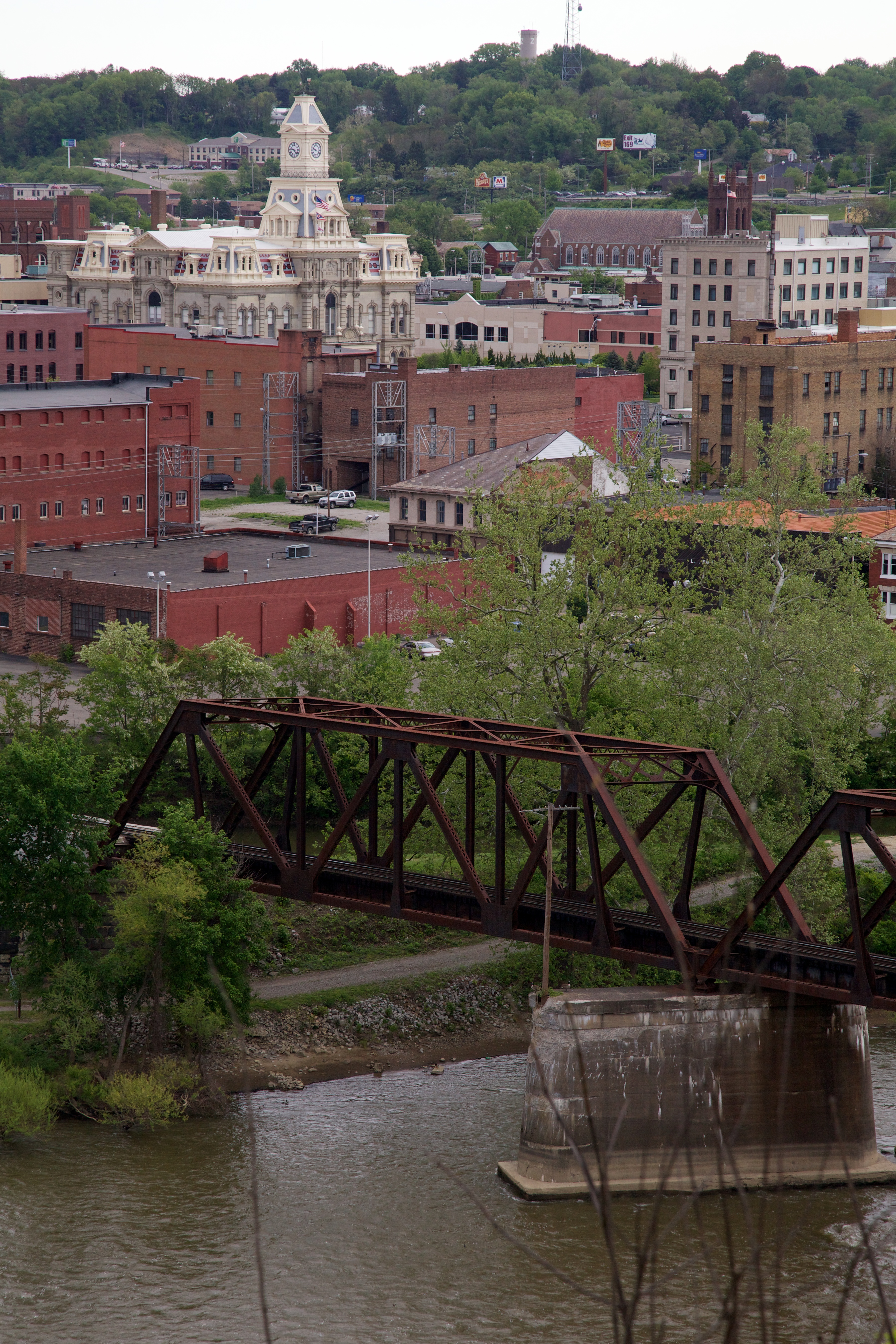
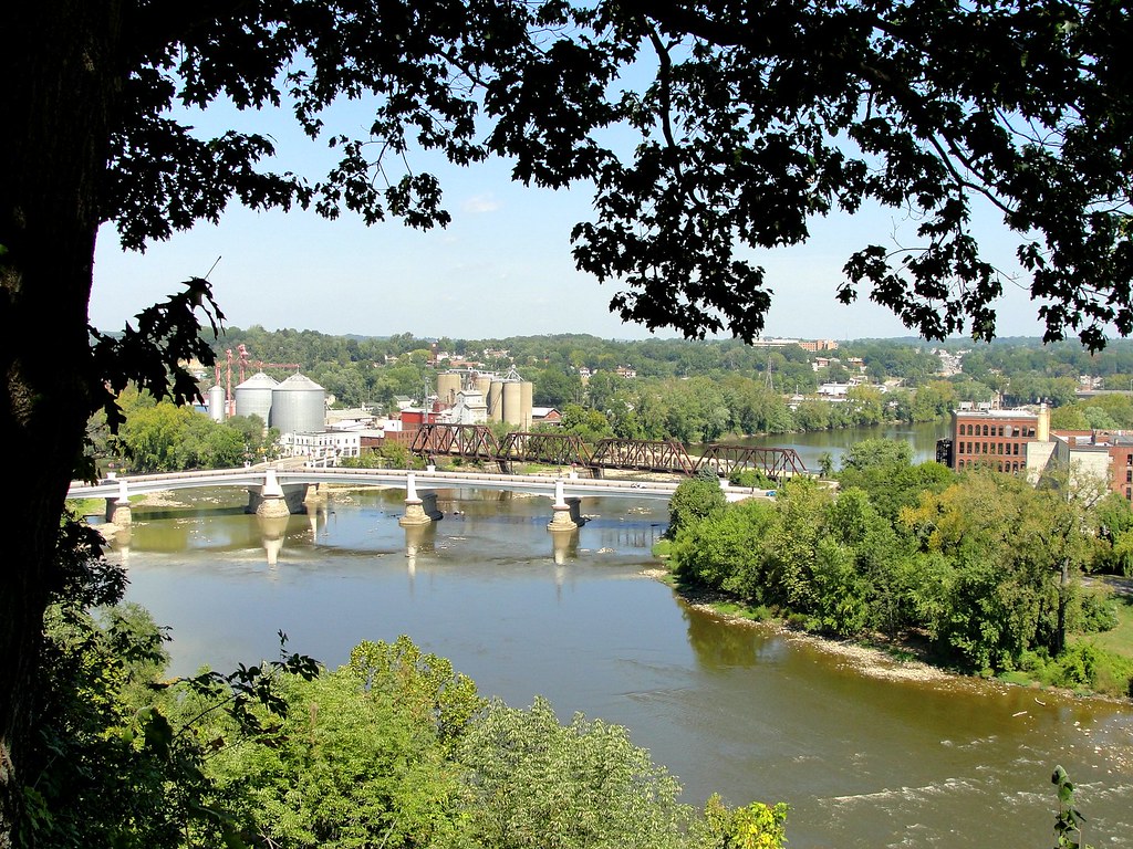
Zanesville Overview
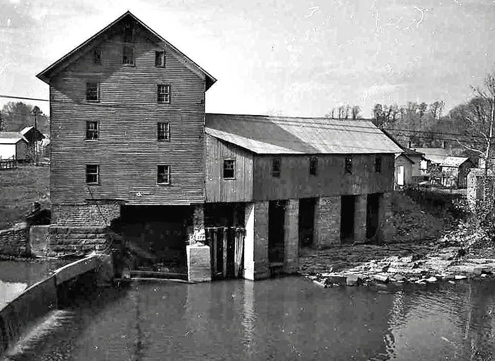
Old mill viewed from a train
Over the river comes the Super 7s
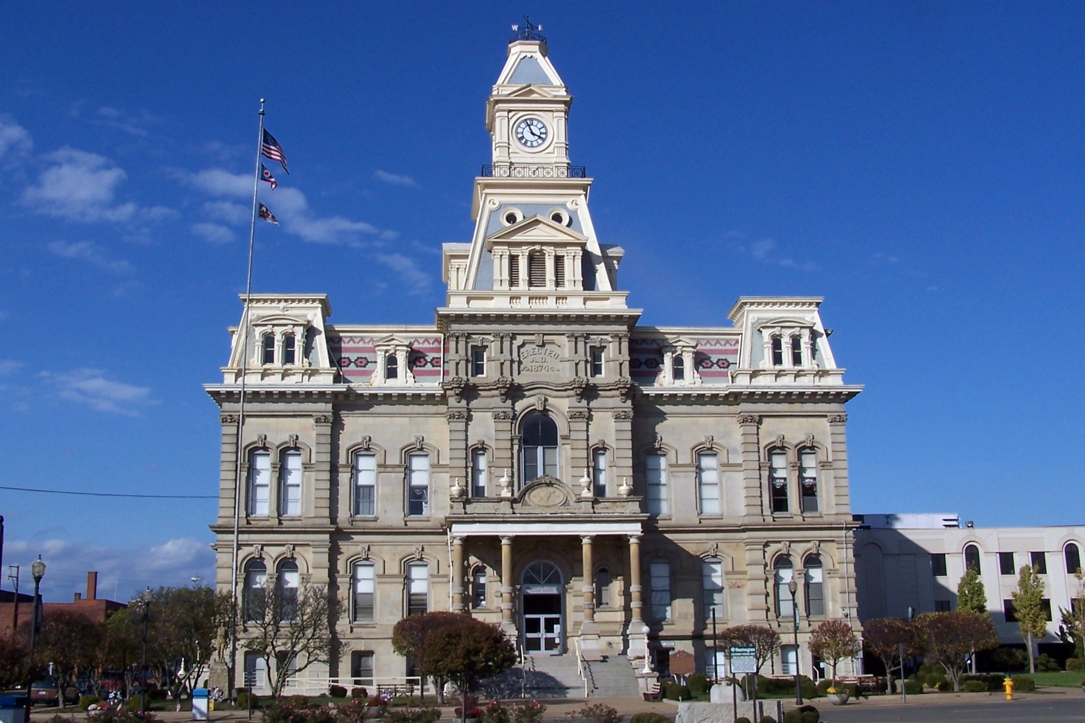
Muskingum County Courthouse, Front View
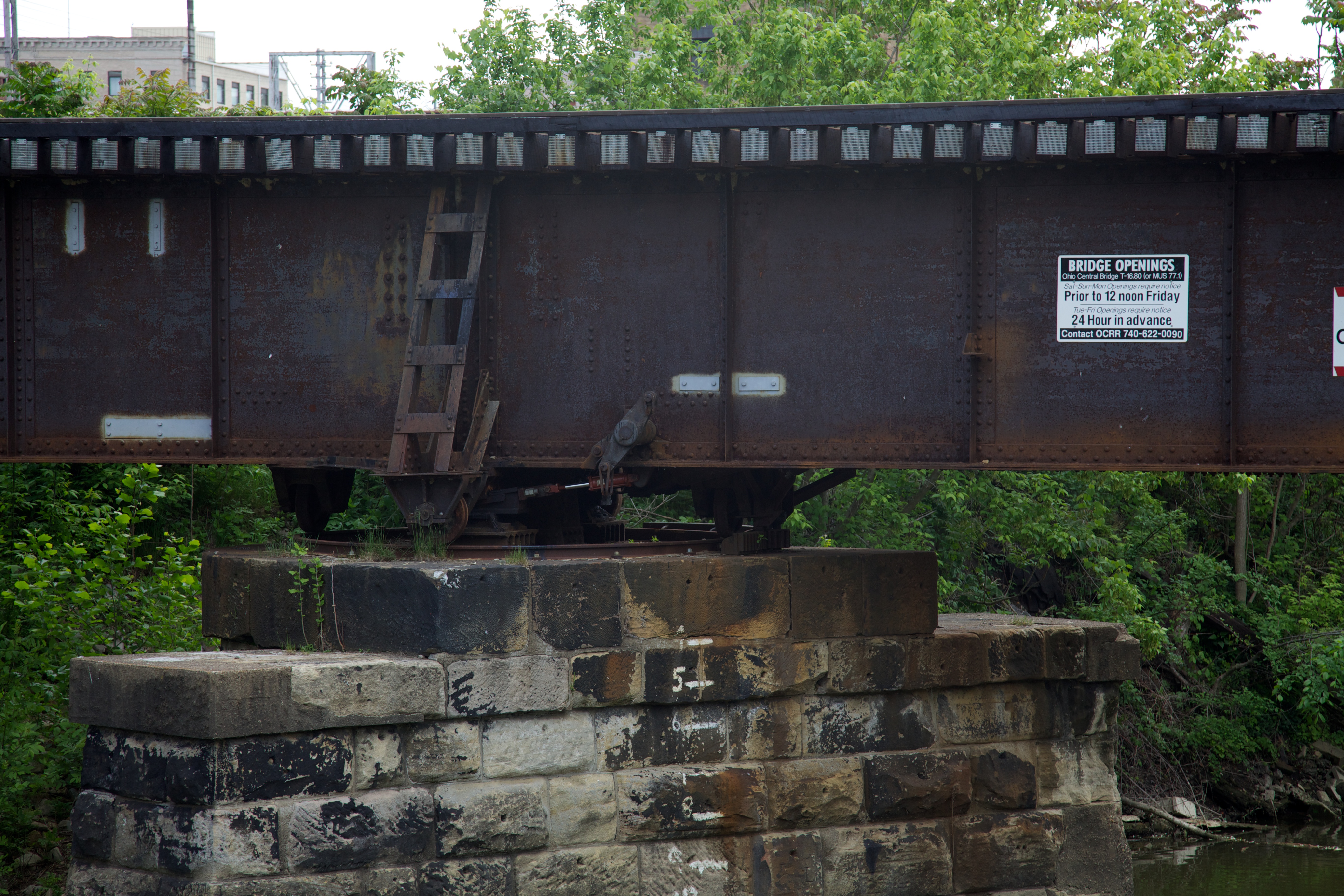
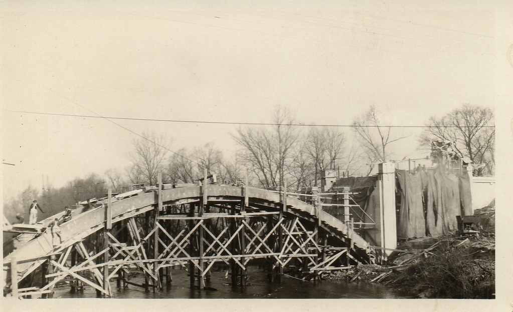
Bridge Openings
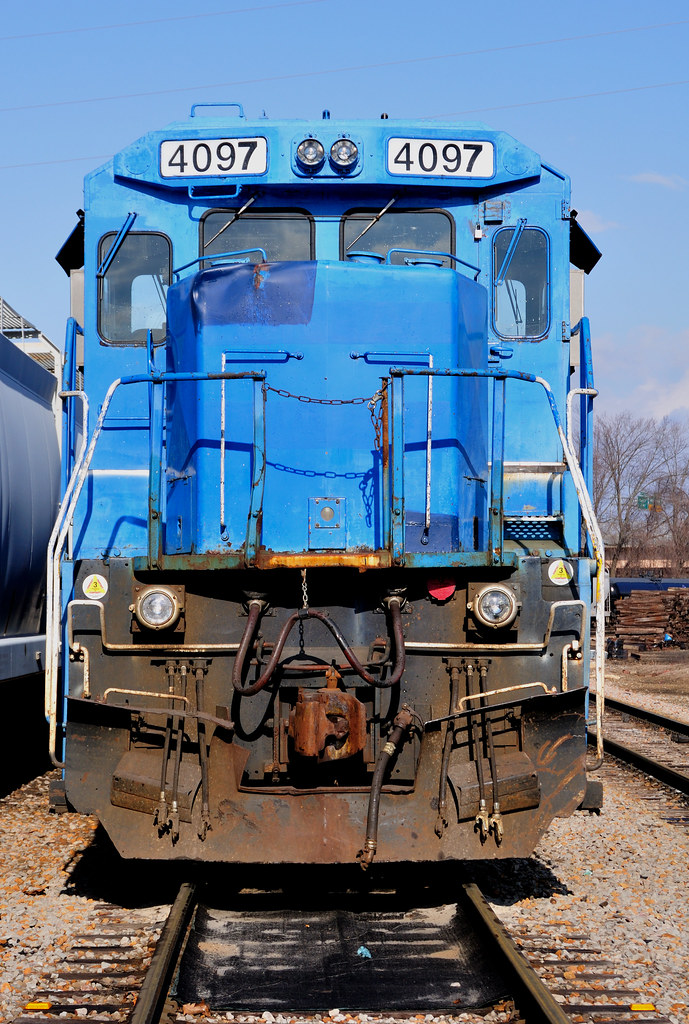
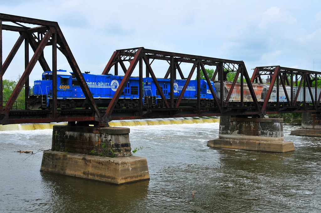
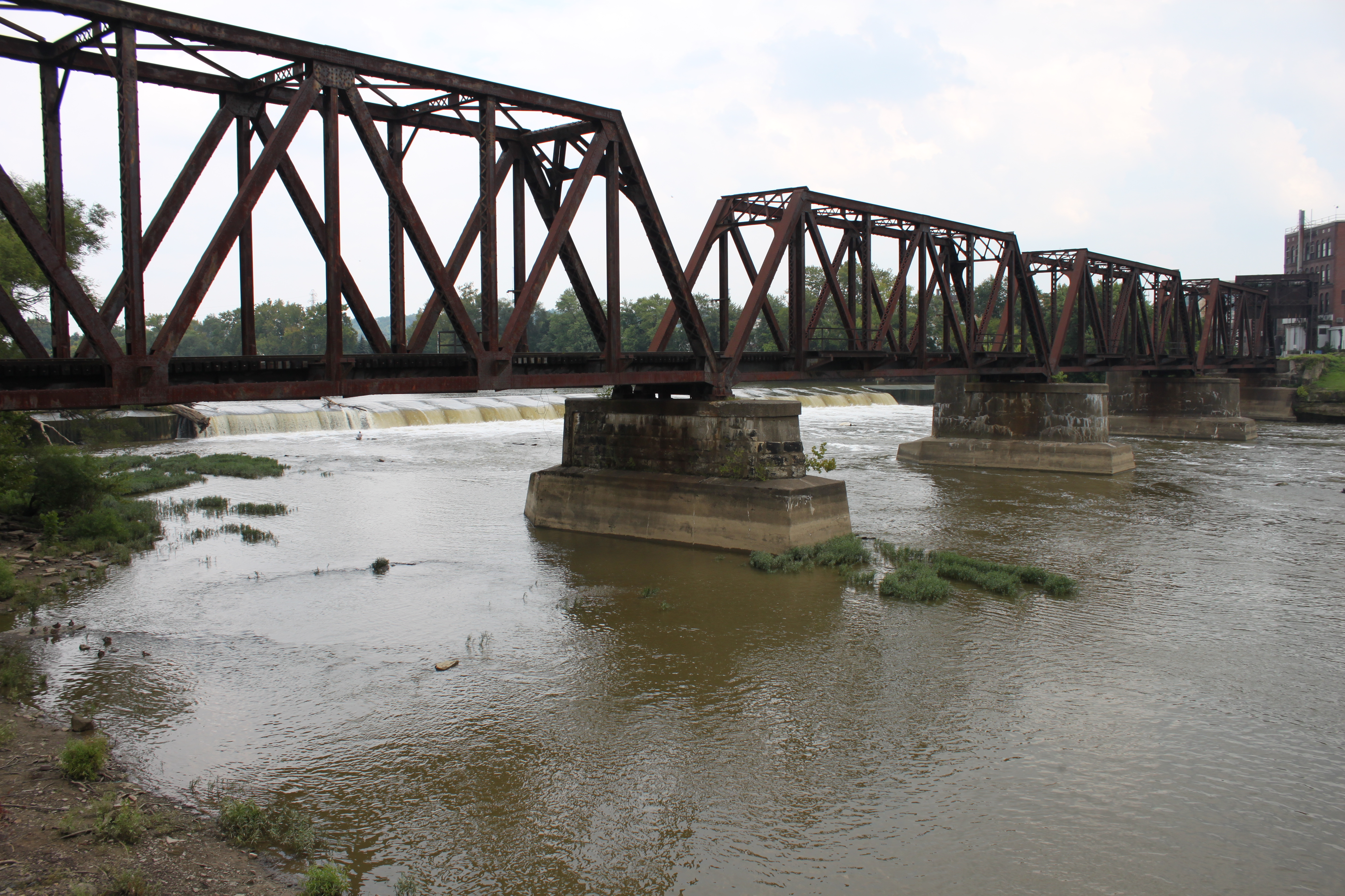
Conrail's Ghost
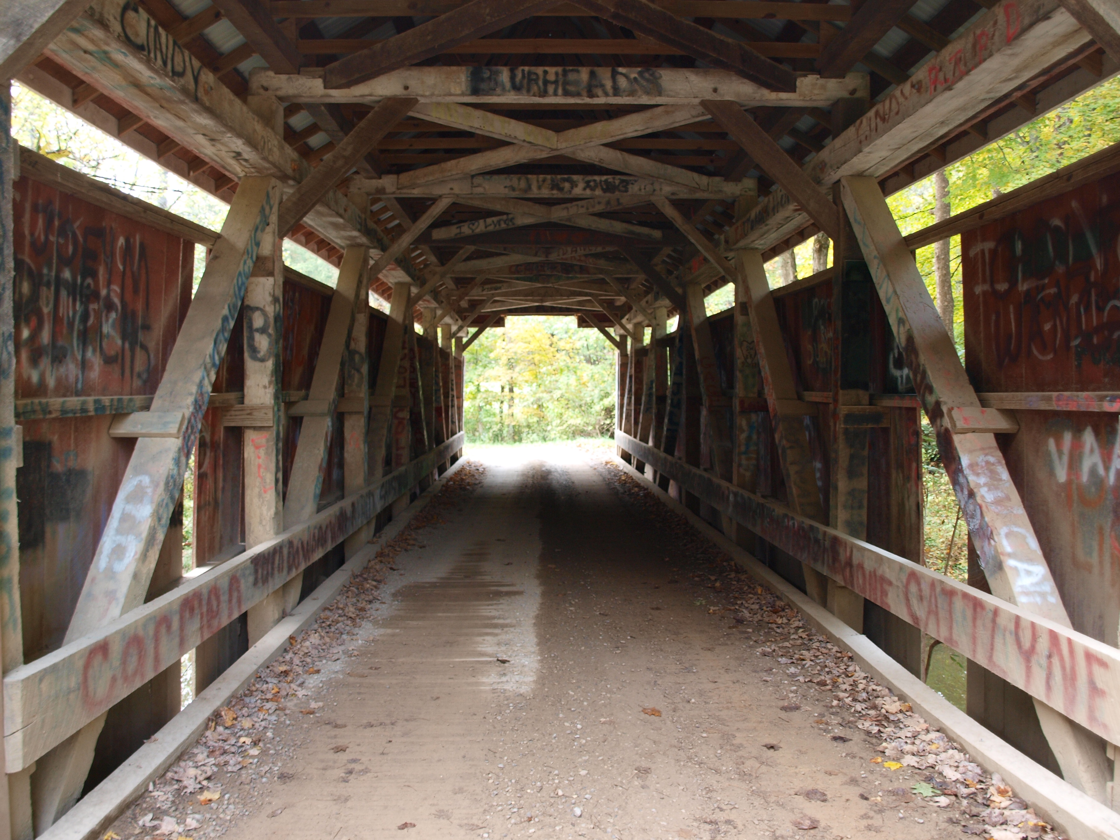
Jacks Hollow Covered Bridge, barrel view, Perry County, Ohio
Jacks Hollow Covered Bridge, view from bridge, Perry County, Ohio
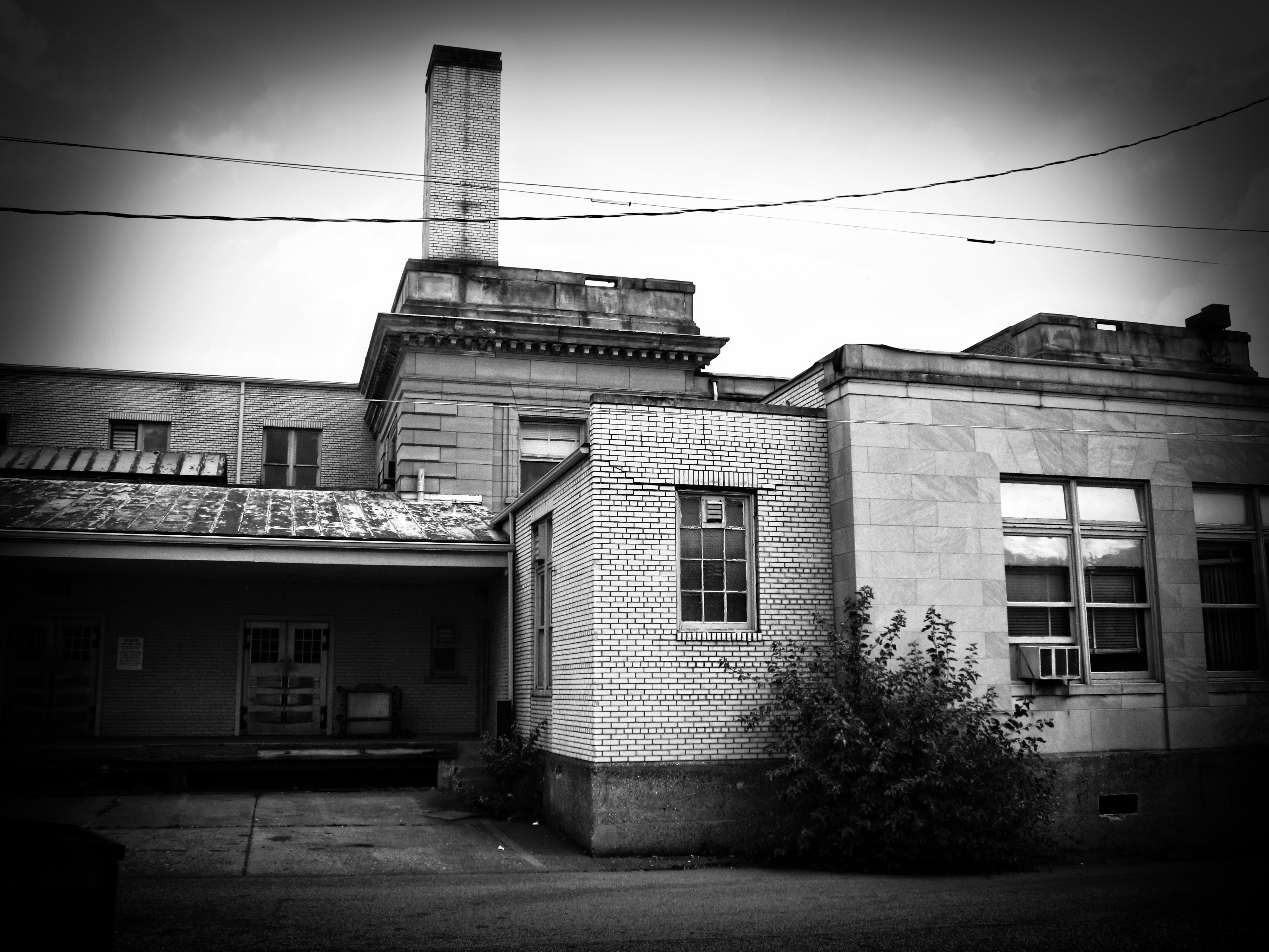
Building View 2
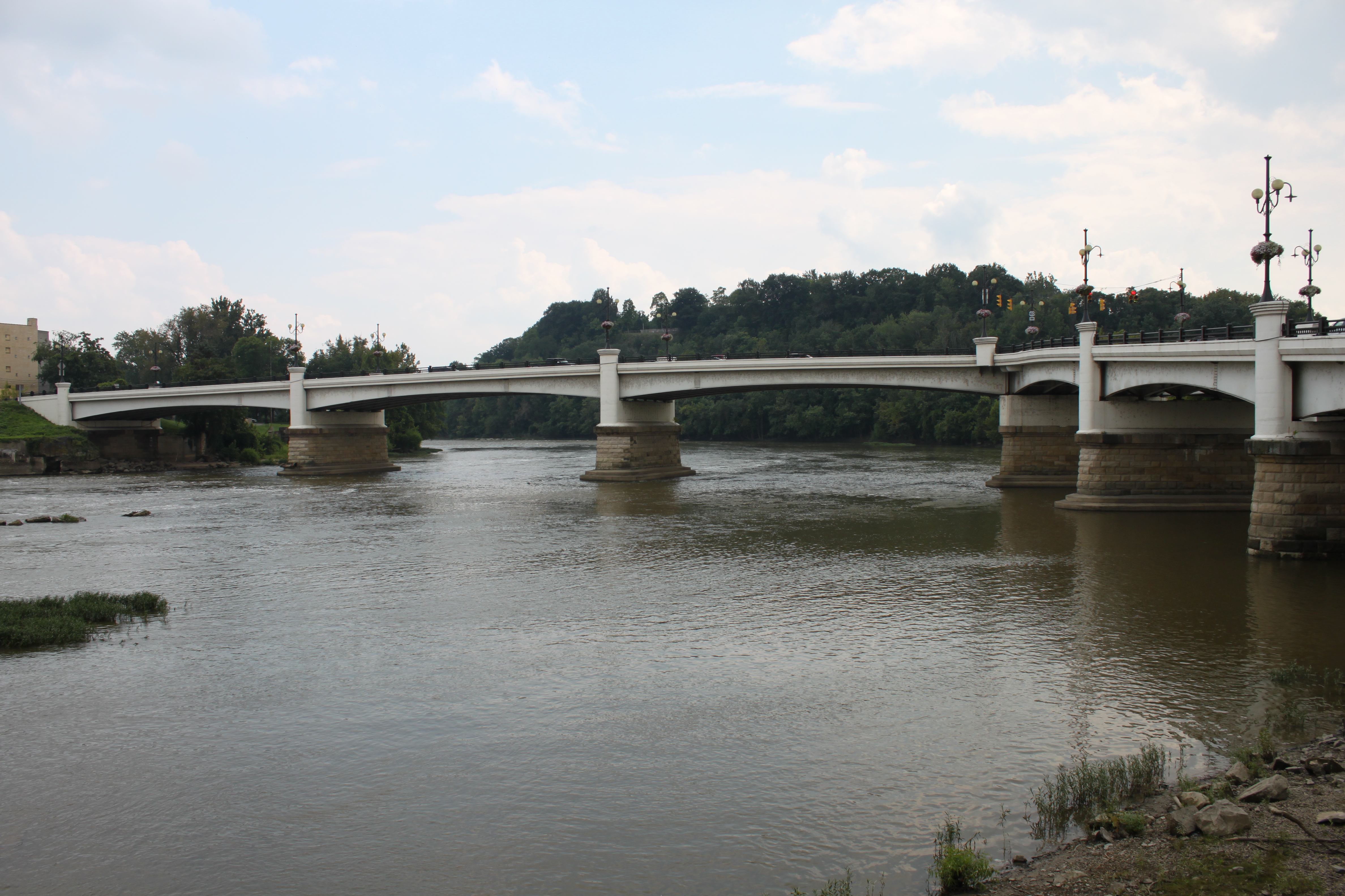
Y Bridge - Zanesville, Ohio
IMG_4158.JPG
IMG_4143.JPG

View on the Muskingum near Zanesville, Ohio
View of downtown Zanesville

View near Zanesville
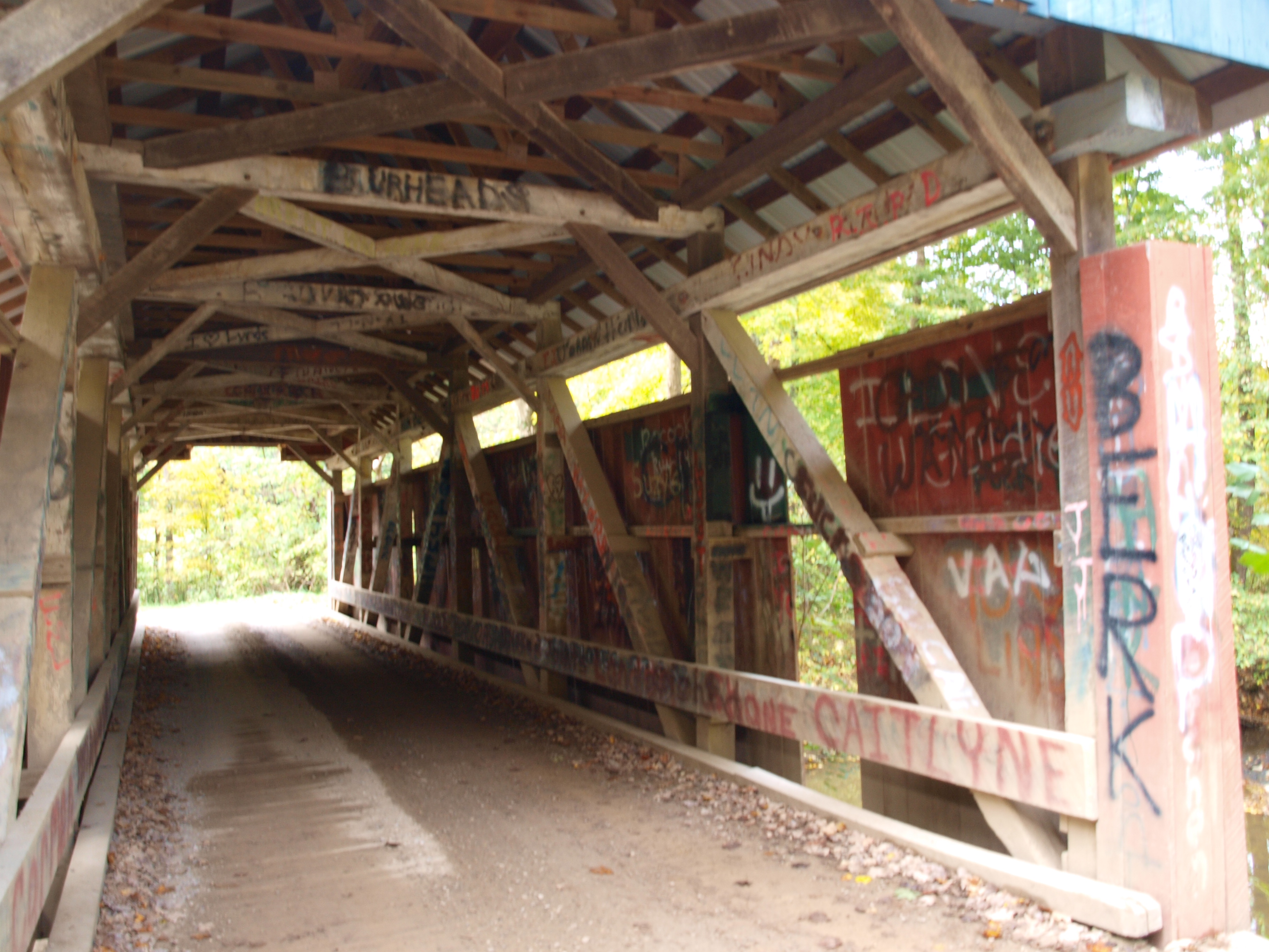
Jacks Hollow Covered Bridge, truss view, Perry County, Ohio
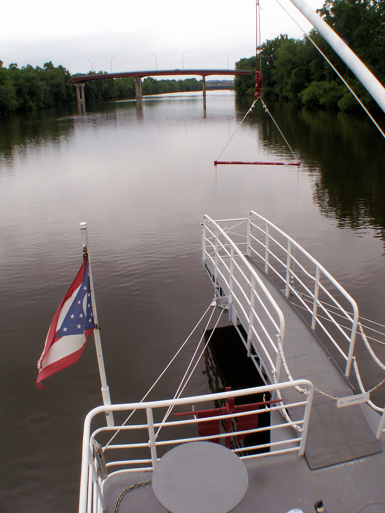
Lorena Sternwheeler upriver

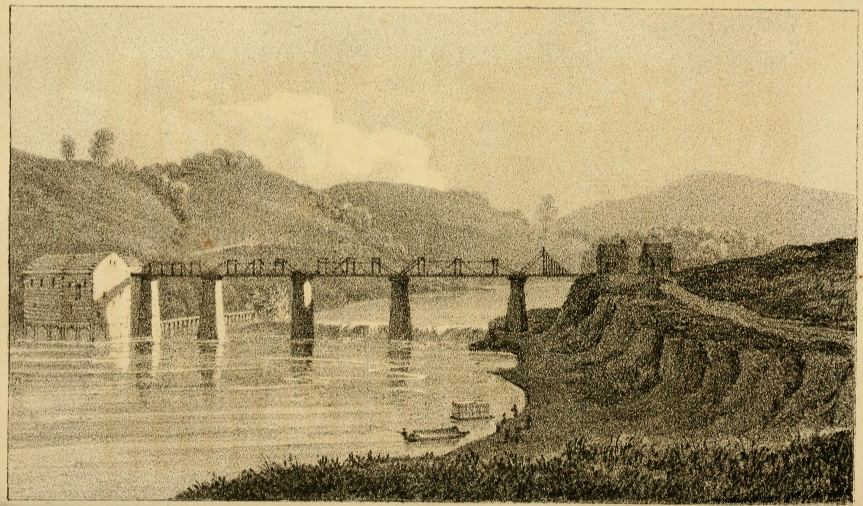
View of the Country round Zanesville
-Side view of the Y-Bridge, Zanesville, Ohio
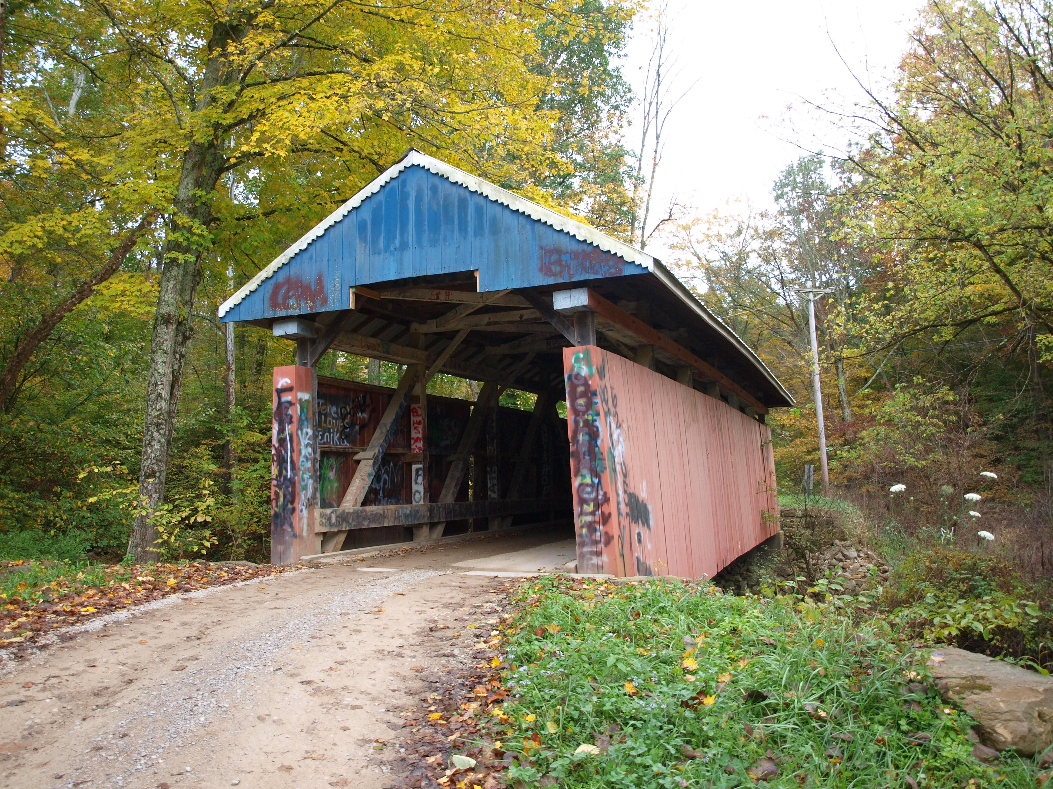
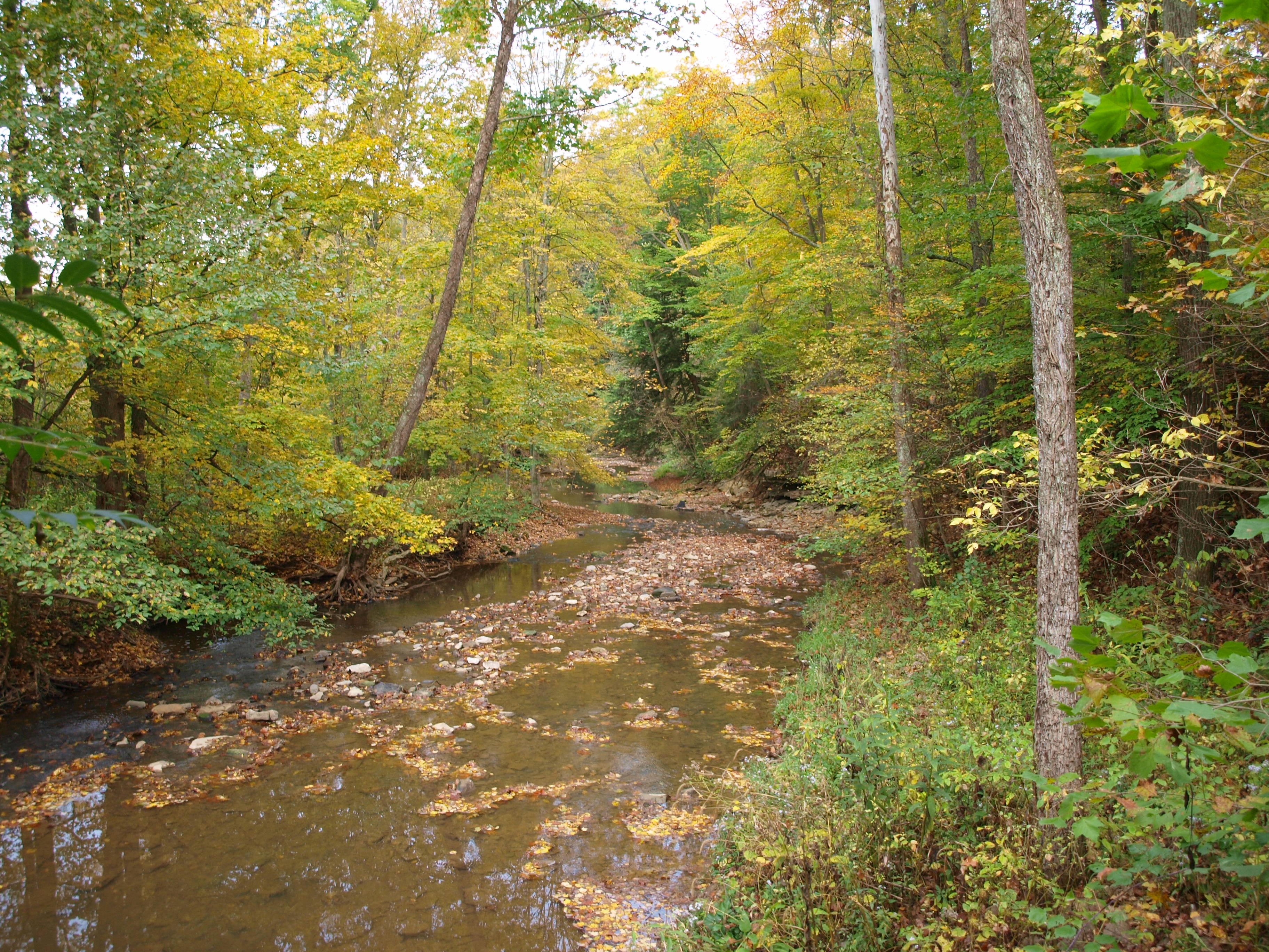
Jacks Hollow Covered Bridge, cross creek view, Perry County, Ohio
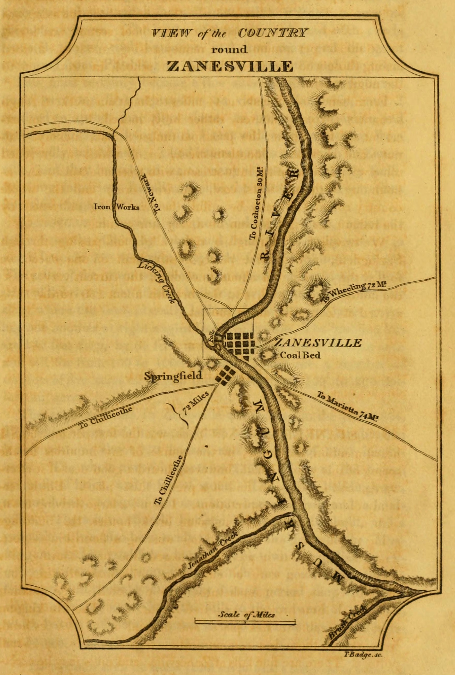
View of the Country round Zanesville
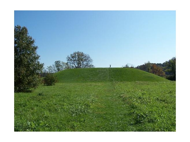
Karen atop Seip Mound

The beat of her heart moves an ocean in me.

Firm Foundation
_MG_0941.jpg

Goodmorning Zanesville
Projects 34.jpg
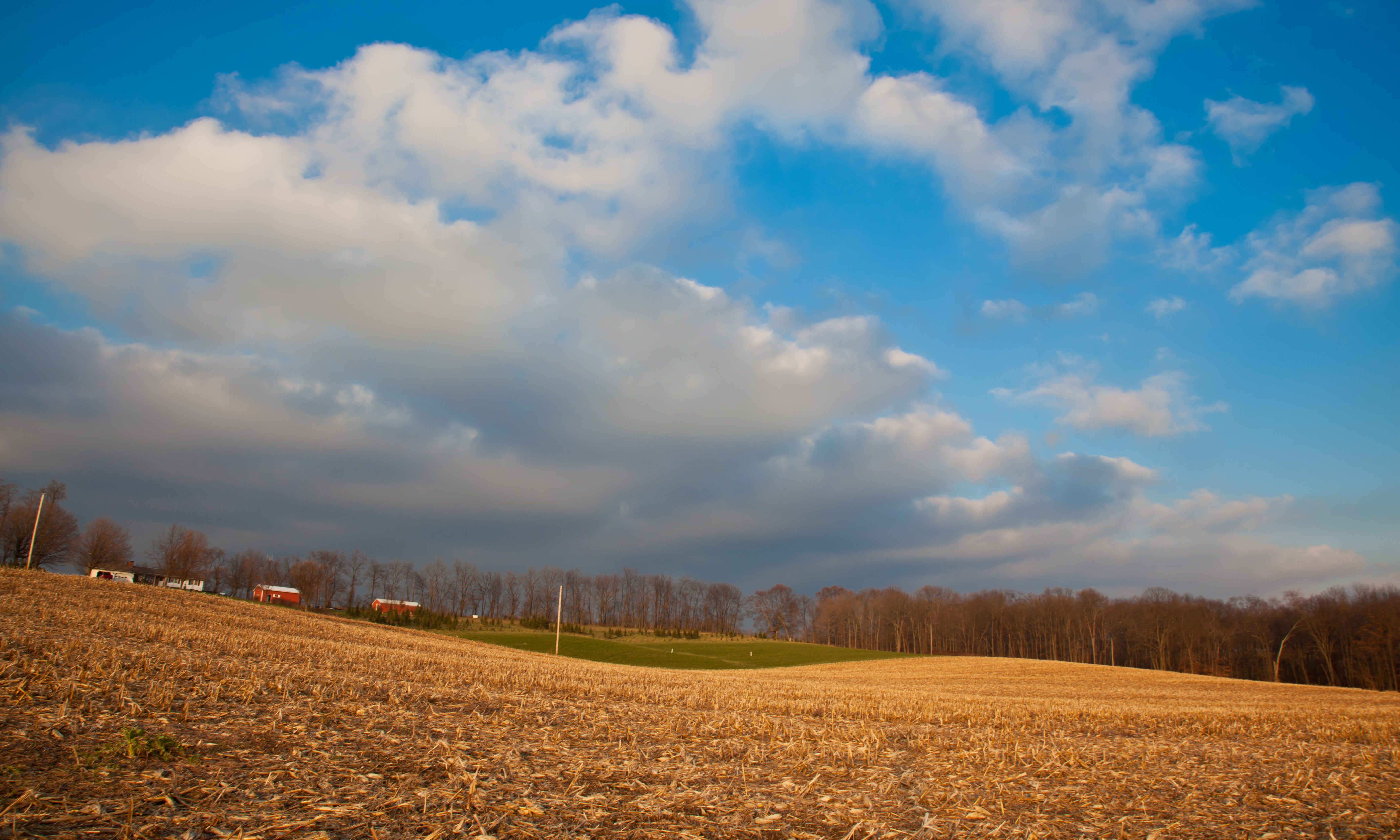
02 Dec. 2011. Rural Ohio, West of Zanesville. Late Day Light Off I-70 at Exit 142.
29CW1124.jpg
Amish Country, Ohio
Railroad Bridge, Zanesville, OH
Ohio ~ Zanesville

2012 mei Holiday Inn Zanesville uitzicht

Hay Fever
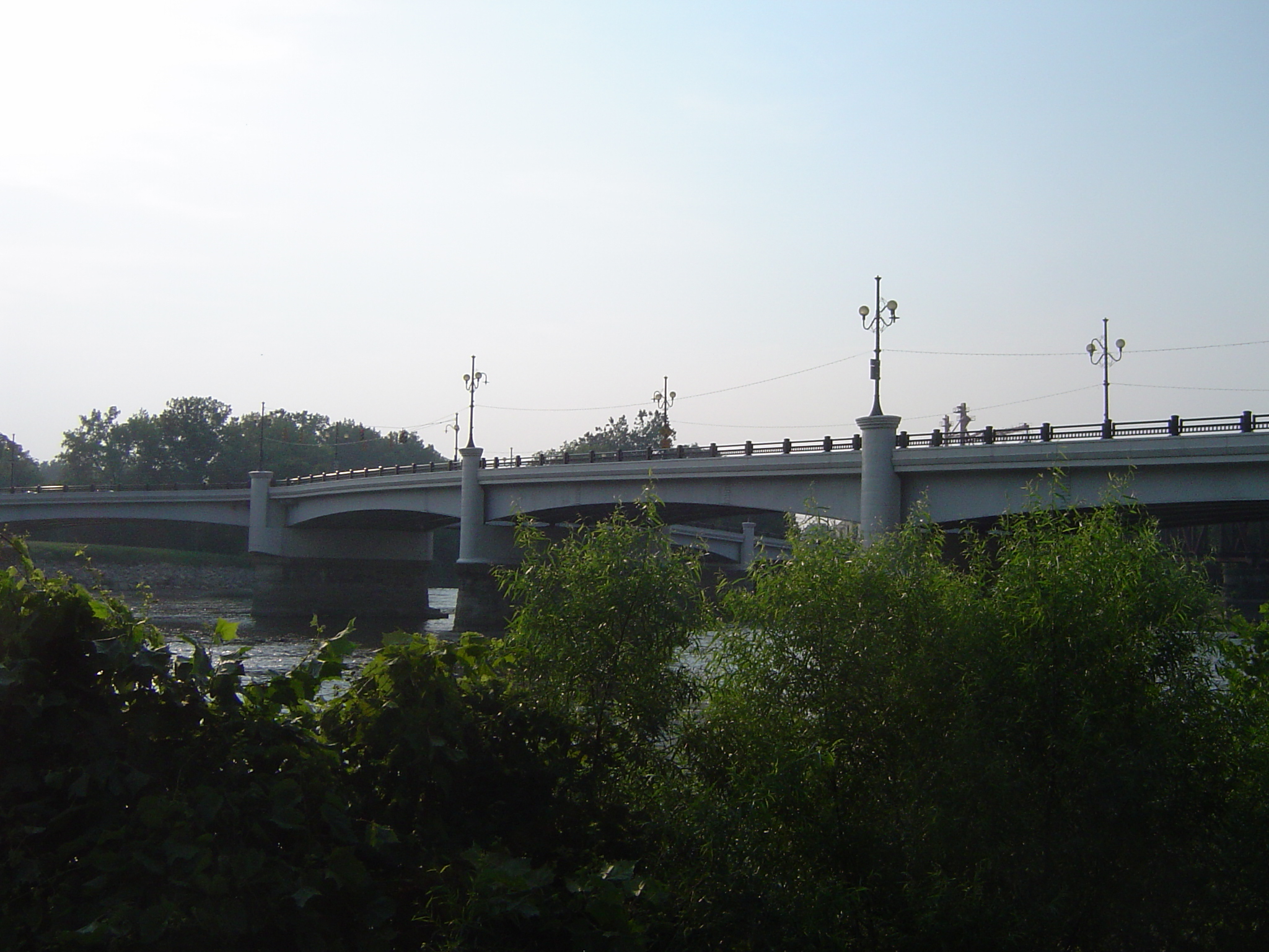
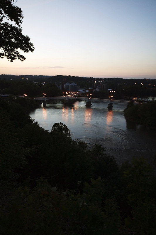
Bridge at Zanesville, Ohio
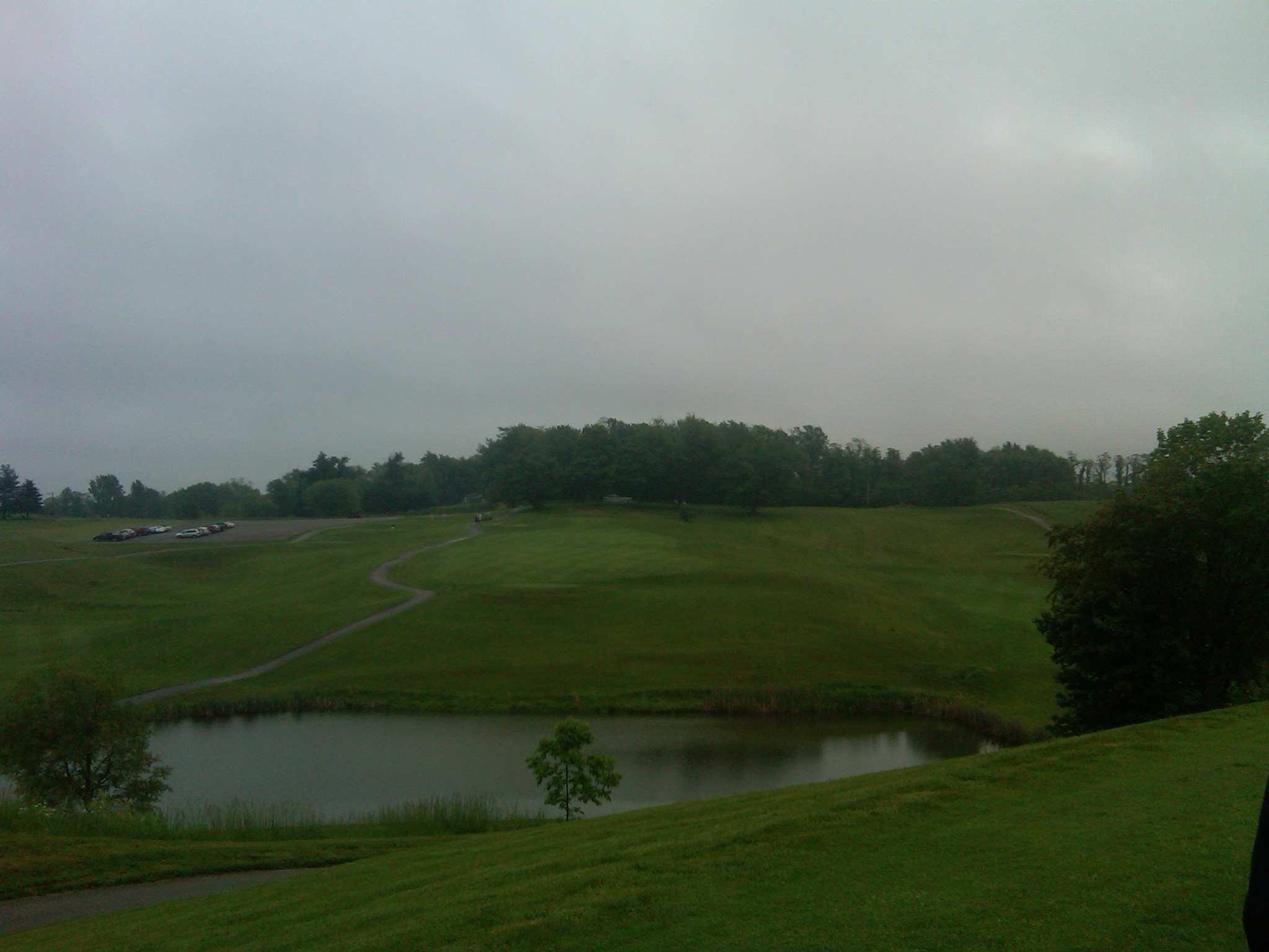
18 tee box

Amish Country, Ohio

Ohio Central Tunnel Motor on a Coal Train
Y Bridge, Zanesville, OH
Topographic Map of Coopermill Rd, Zanesville, OH, USA
Find elevation by address:

Places near Coopermill Rd, Zanesville, OH, USA:
Hopewell Township
Coopermill Rd, Mt Perry, OH, USA
Hopewell
1308 Coopermill Rd
1700 State St
Licking Rd, Zanesville, OH, USA
Zanesville
12 US-40, Zanesville, OH, USA
North 3rd Street
Marjorie And Butch's School Of Dance Llc (studio 51)
1356 Athena Ln
800 Harvey St
730 Fountain Square
16295 Flint Ridge Rd
1072 Harvey St
Zane St, Zanesville, OH, USA
9775 Hidden Springs Rd
Main St, Zanesville, OH, USA
Gratiot
940 Schlaegel Dr
Recent Searches:
- Elevation of Corso Fratelli Cairoli, 35, Macerata MC, Italy
- Elevation of Tallevast Rd, Sarasota, FL, USA
- Elevation of 4th St E, Sonoma, CA, USA
- Elevation of Black Hollow Rd, Pennsdale, PA, USA
- Elevation of Oakland Ave, Williamsport, PA, USA
- Elevation of Pedrógão Grande, Portugal
- Elevation of Klee Dr, Martinsburg, WV, USA
- Elevation of Via Roma, Pieranica CR, Italy
- Elevation of Tavkvetili Mountain, Georgia
- Elevation of Hartfords Bluff Cir, Mt Pleasant, SC, USA