Elevation of Muskingum County, OH, USA
Location: United States > Ohio >
Longitude: -81.953481
Latitude: 39.9478393
Elevation: 274m / 899feet
Barometric Pressure: 98KPa
Elevation Map:
Satellite Map:
Related Photos:
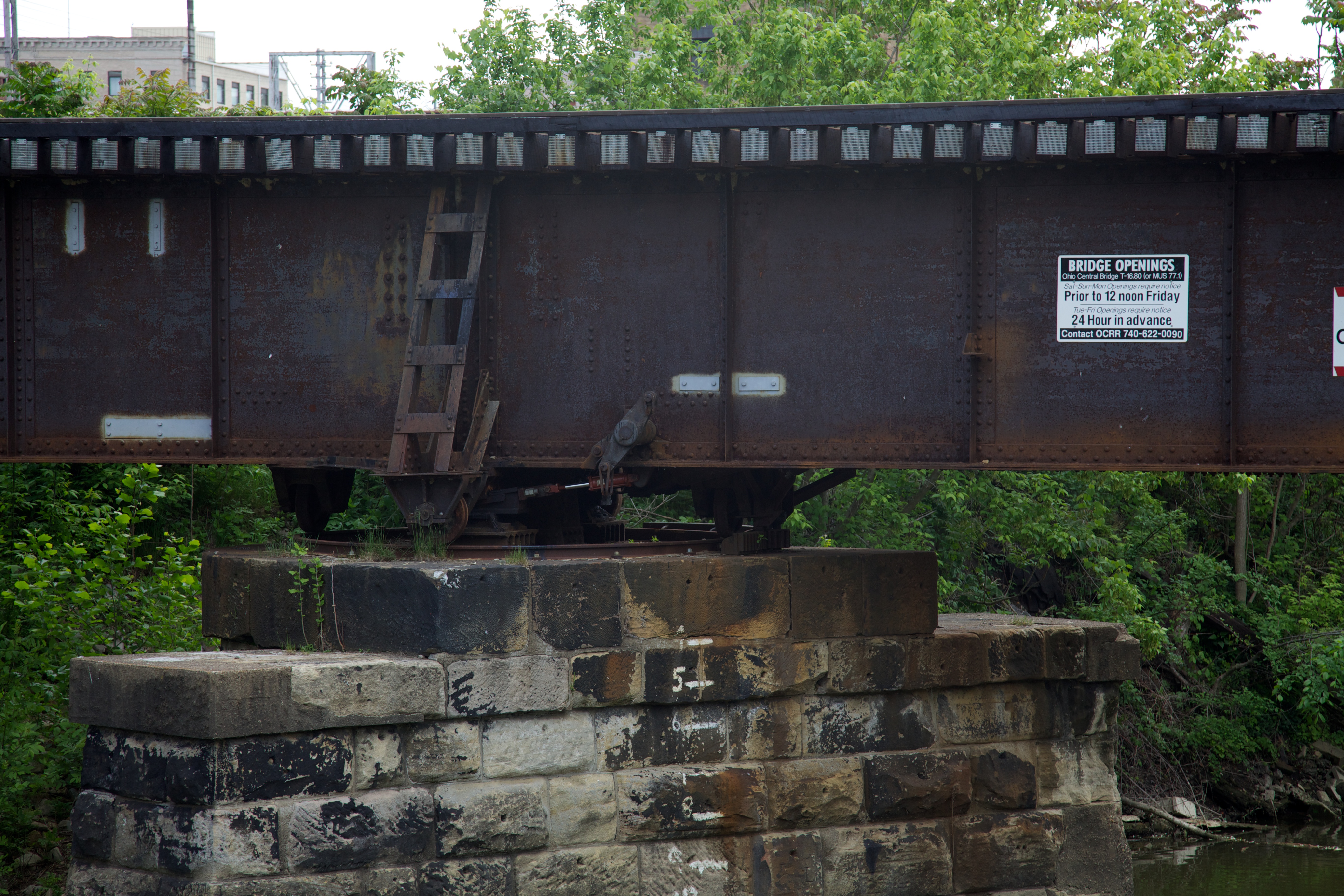
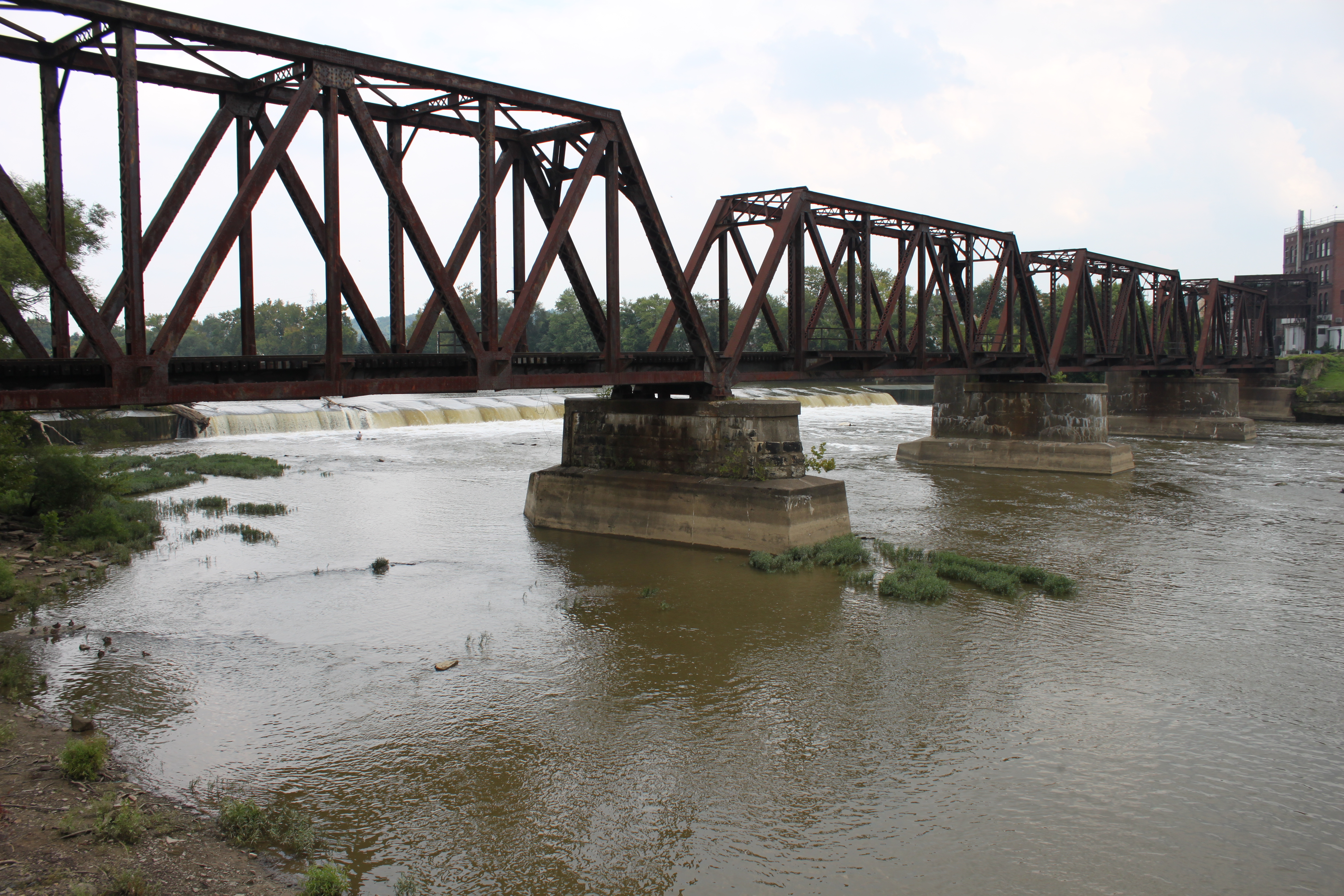
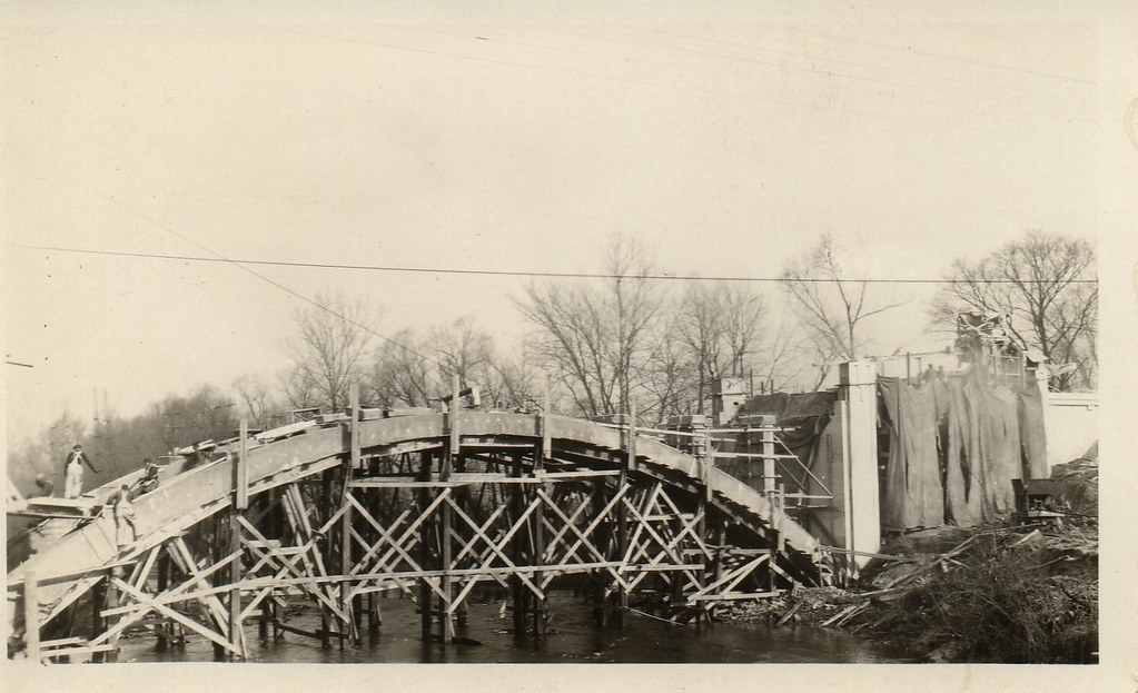
Bridge Openings
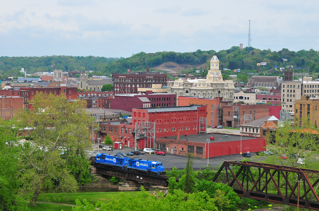
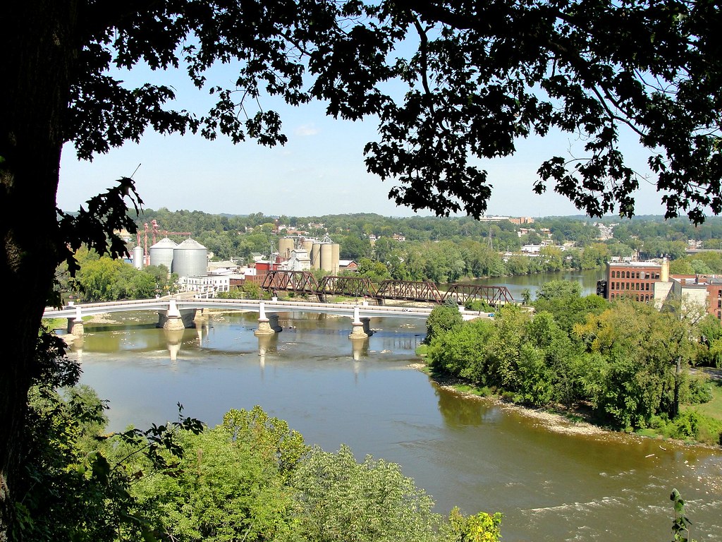
Zanesville Overview
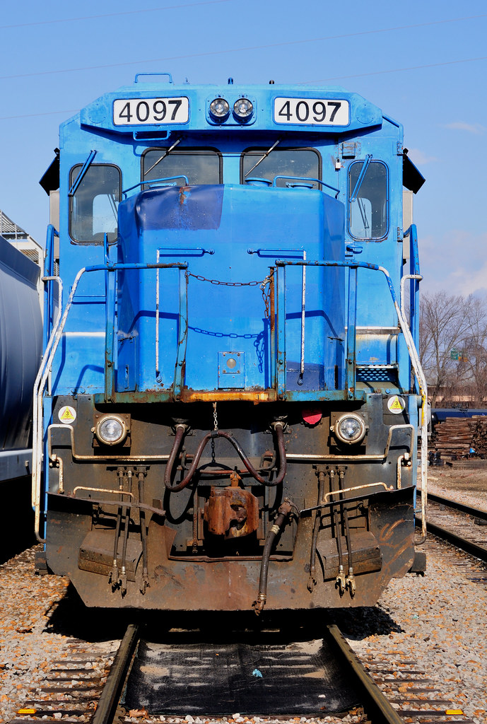
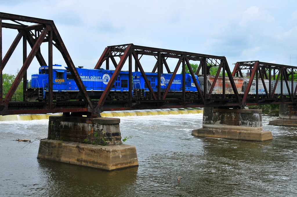
Conrail's Ghost
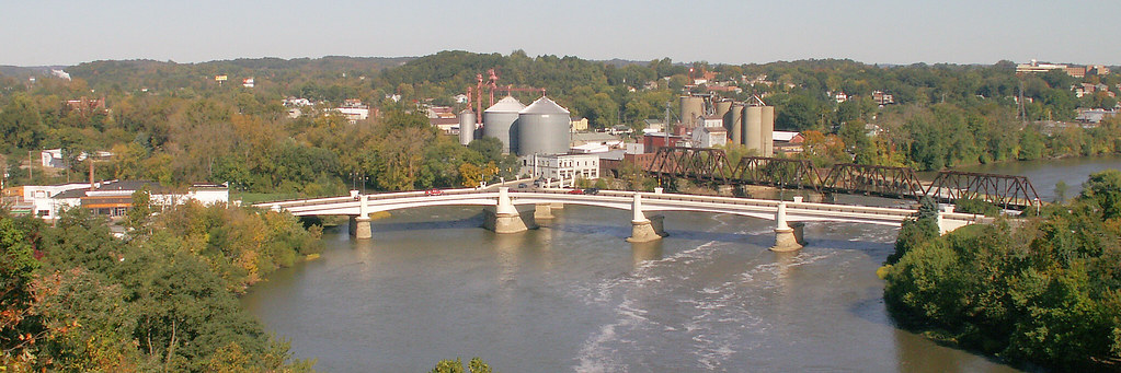
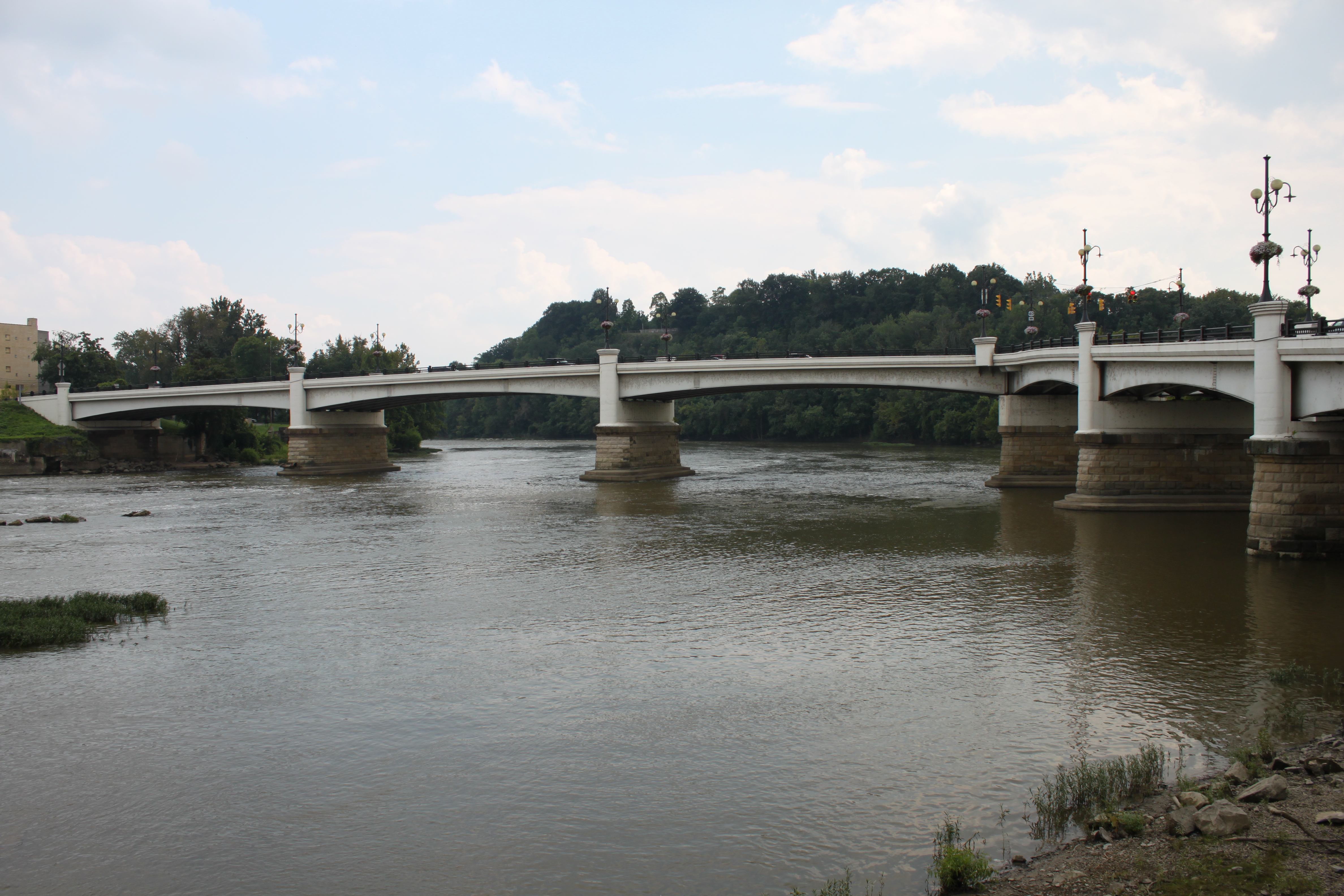
Y Bridge - Zanesville, Ohio

Reflections: After the storm, Rainbow in the Rear View #rainbowloom #roadtrips #amazingshotz_ #lgg4 #mobilephotography
Over the river comes the Super 7s
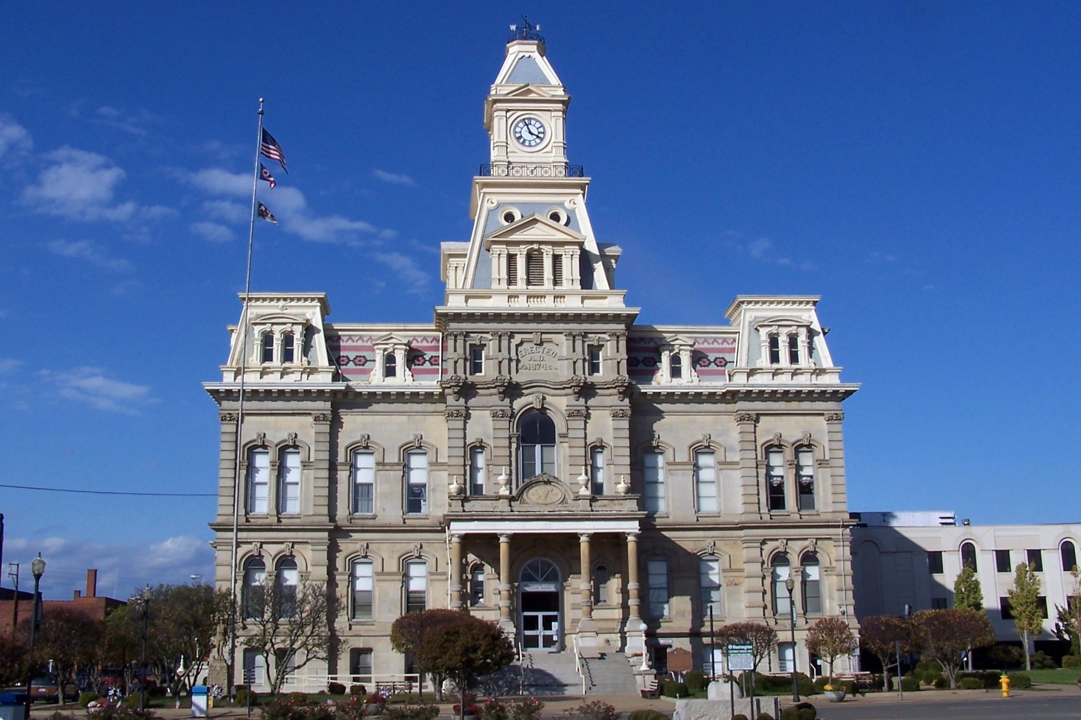
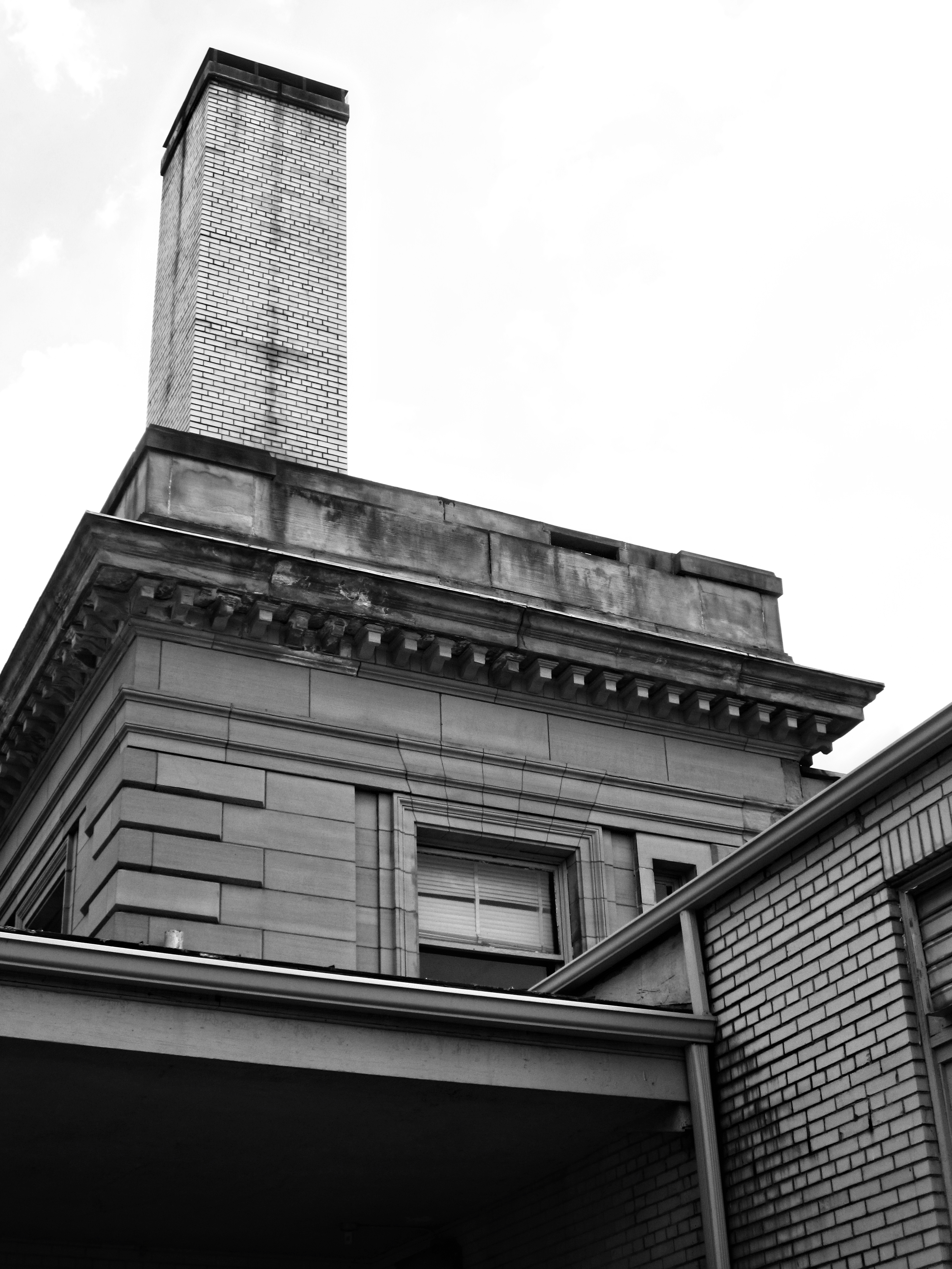
Muskingum County Courthouse, Front View
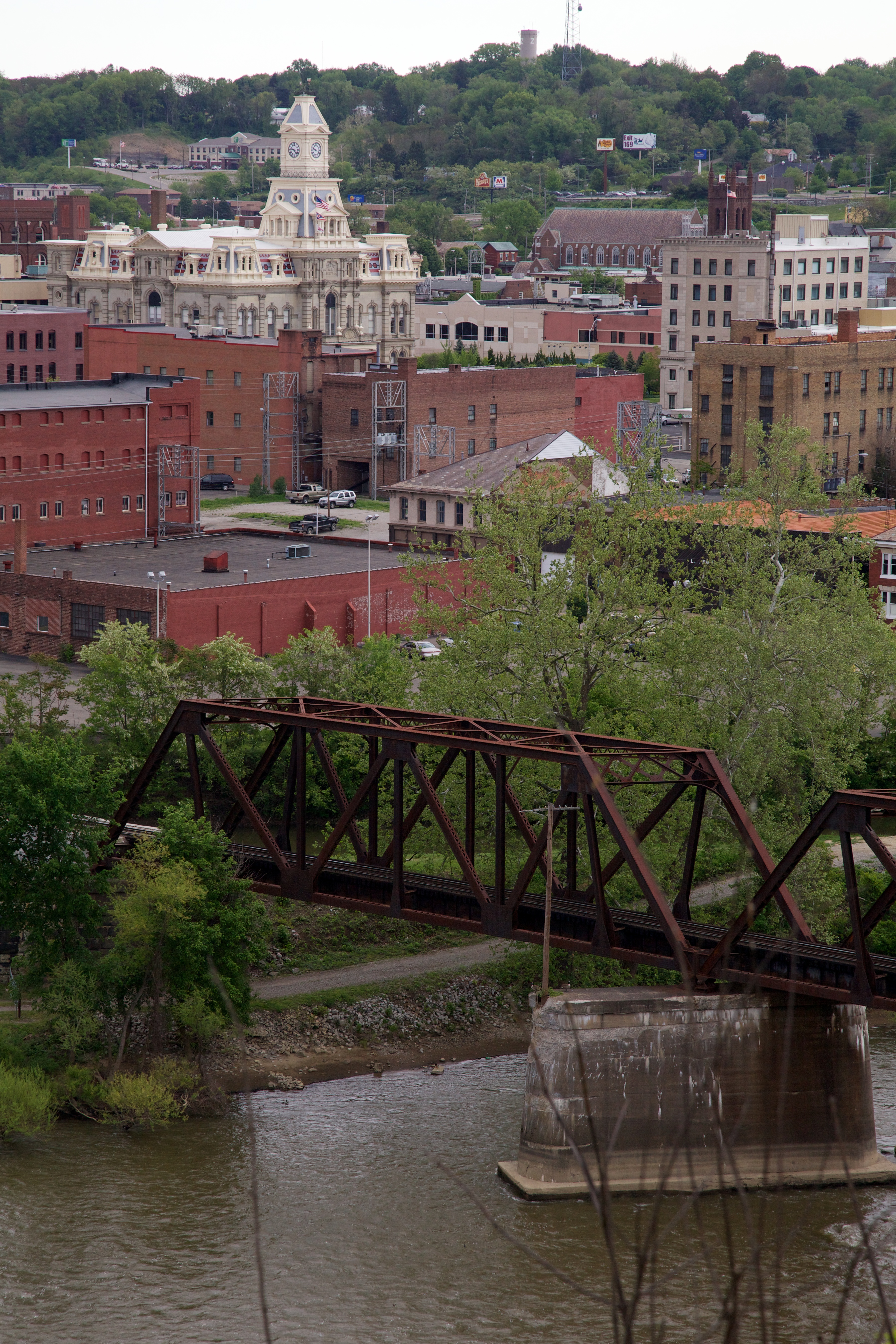
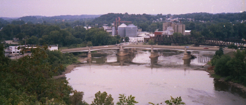
View of downtown Zanesville
-Side view of the Y-Bridge, Zanesville, Ohio

View of Muskingum County Courthouse from the Landing Park on the Muskingum River in Zanesville, OH 005
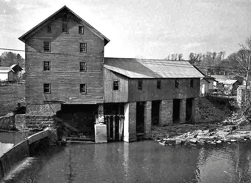
Old mill viewed from a train
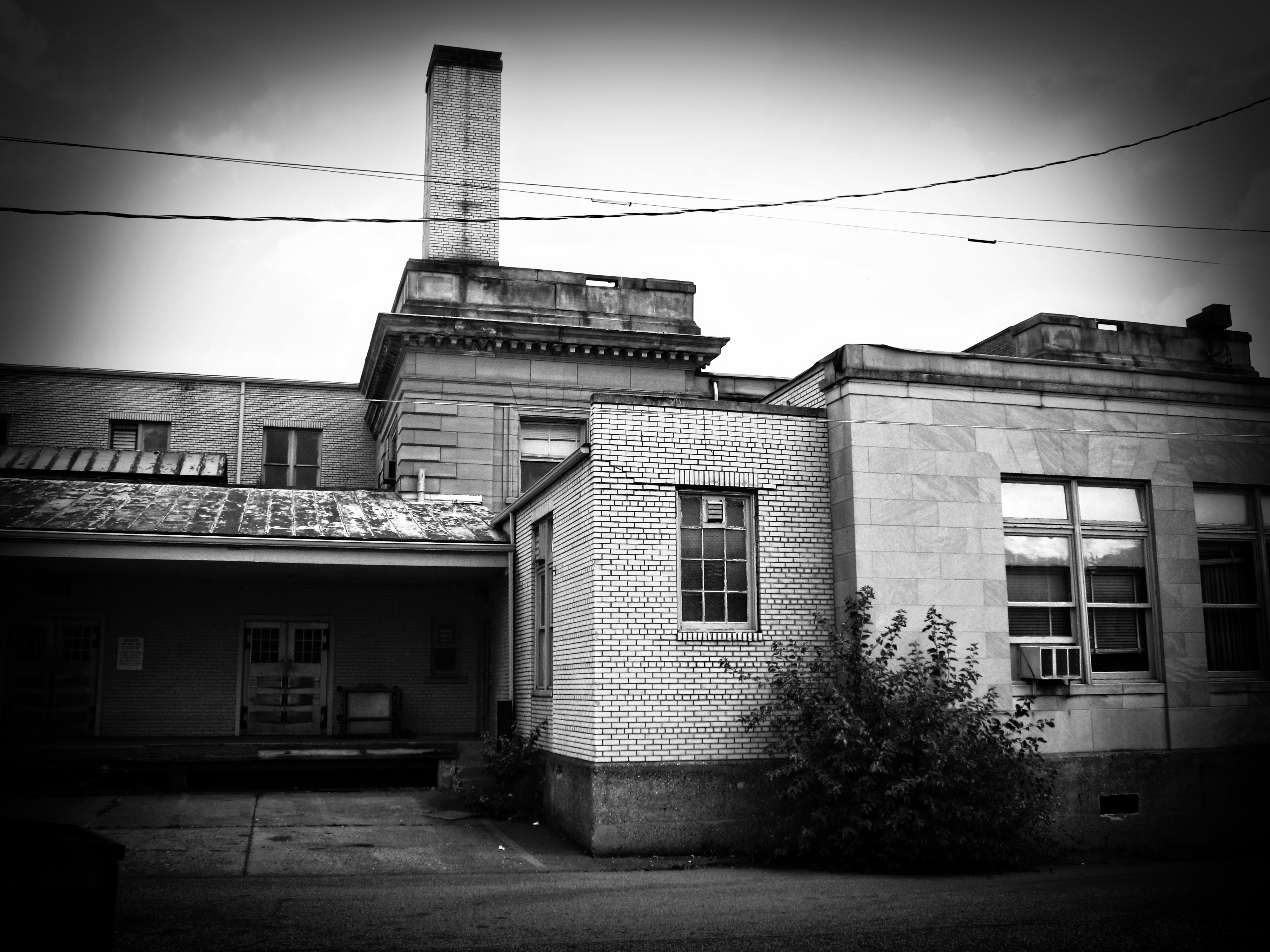
Building View 2
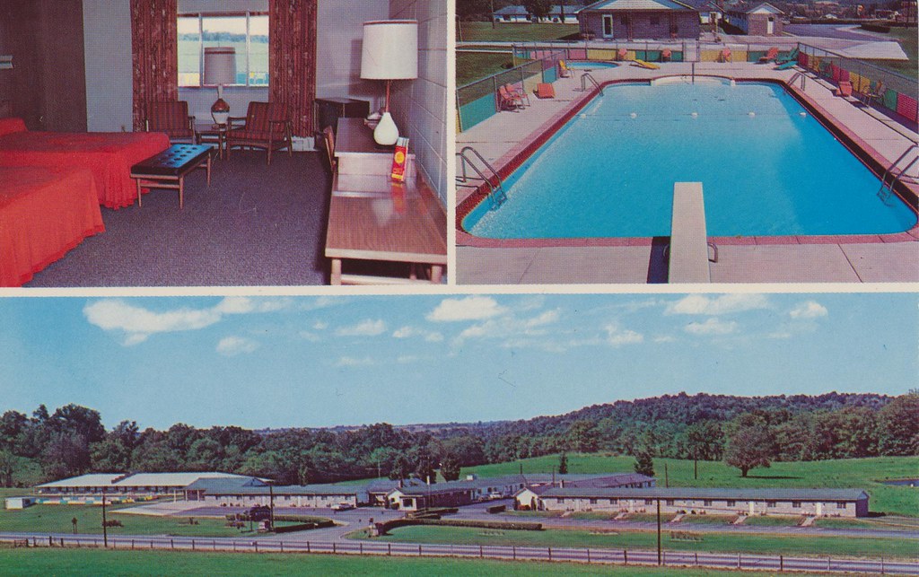
Baker's Motel - Norwich, Ohio

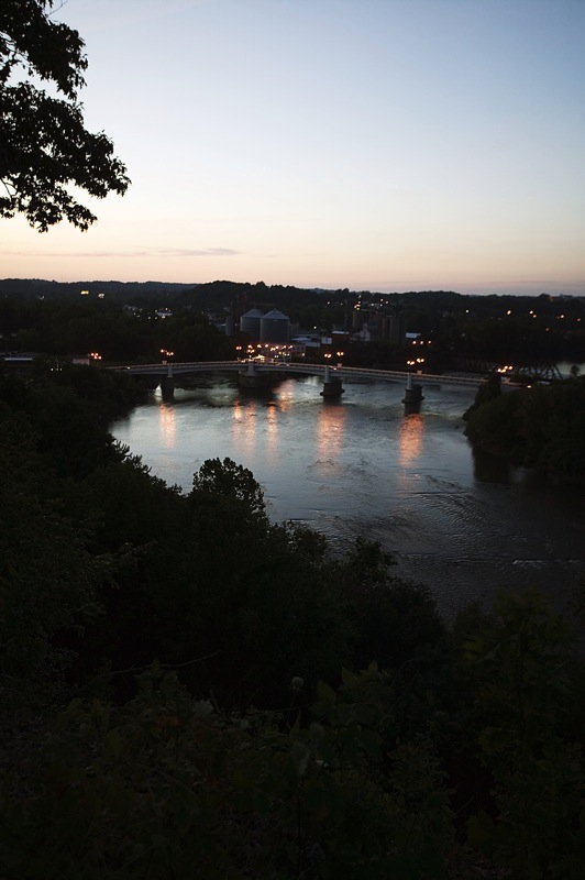
View on the Muskingum near Zanesville, Ohio

View near Zanesville
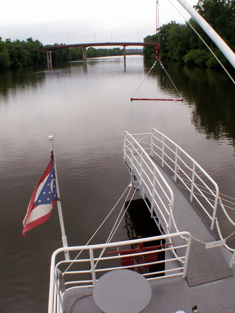
Lorena Sternwheeler upriver

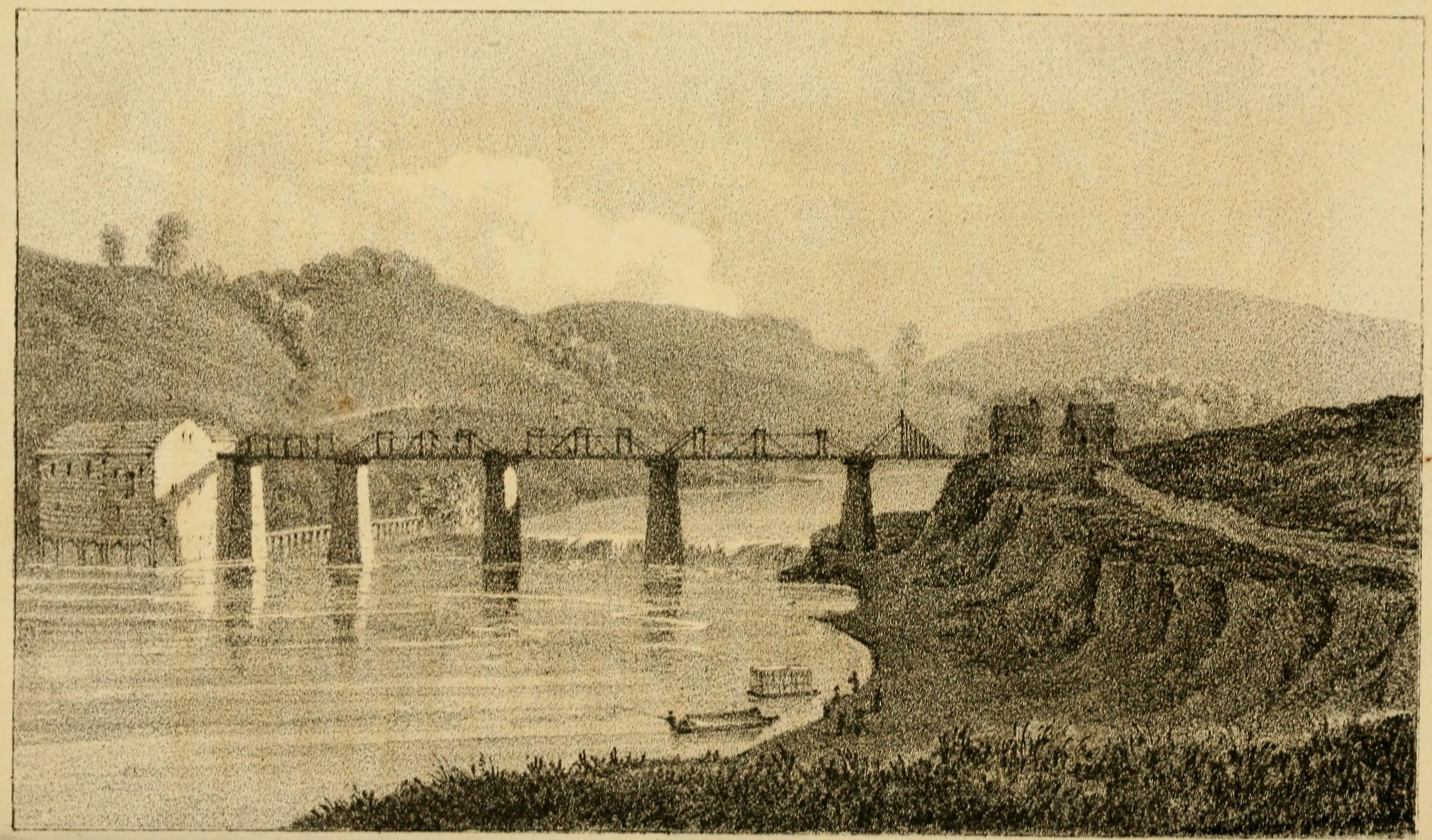
View of the Country round Zanesville
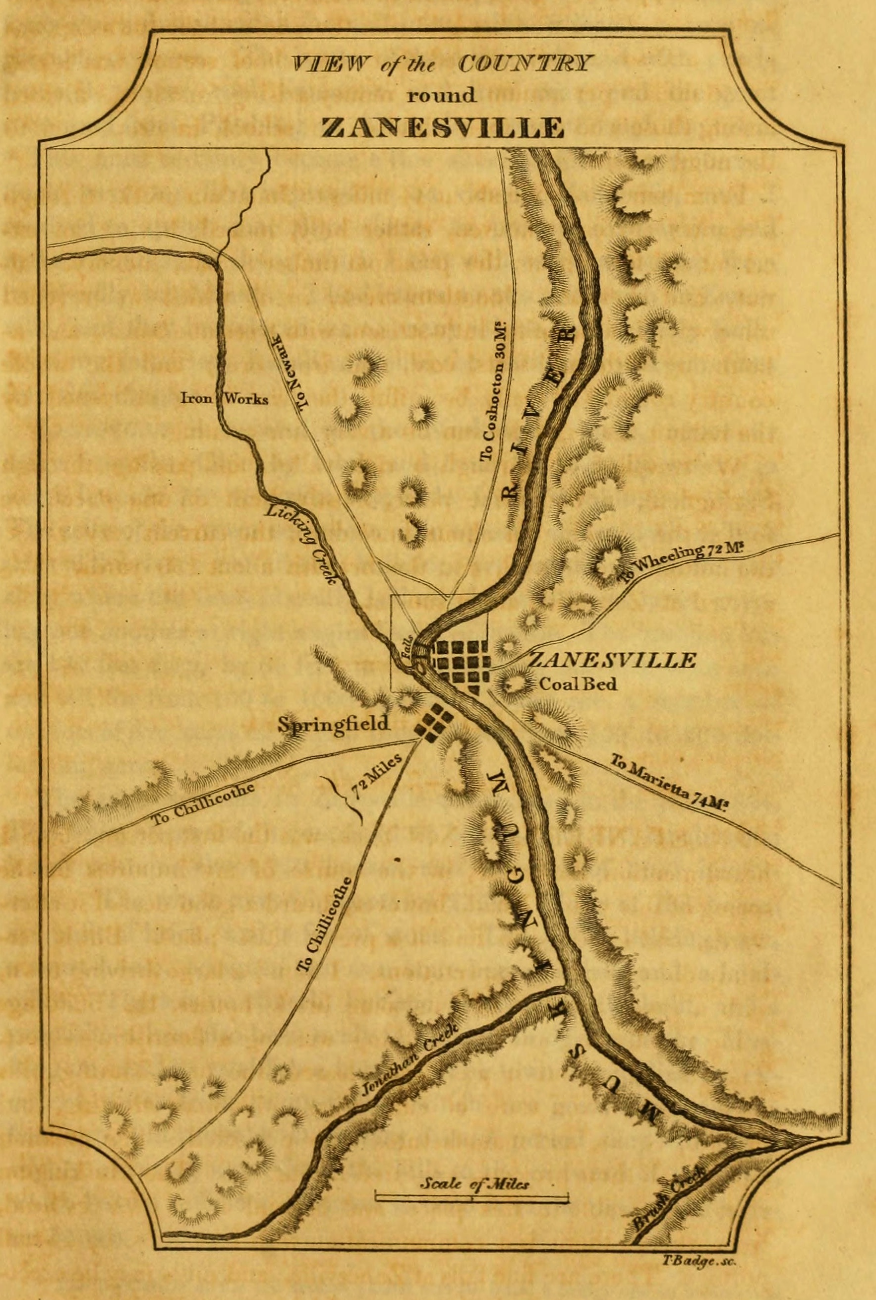
View of the Country round Zanesville
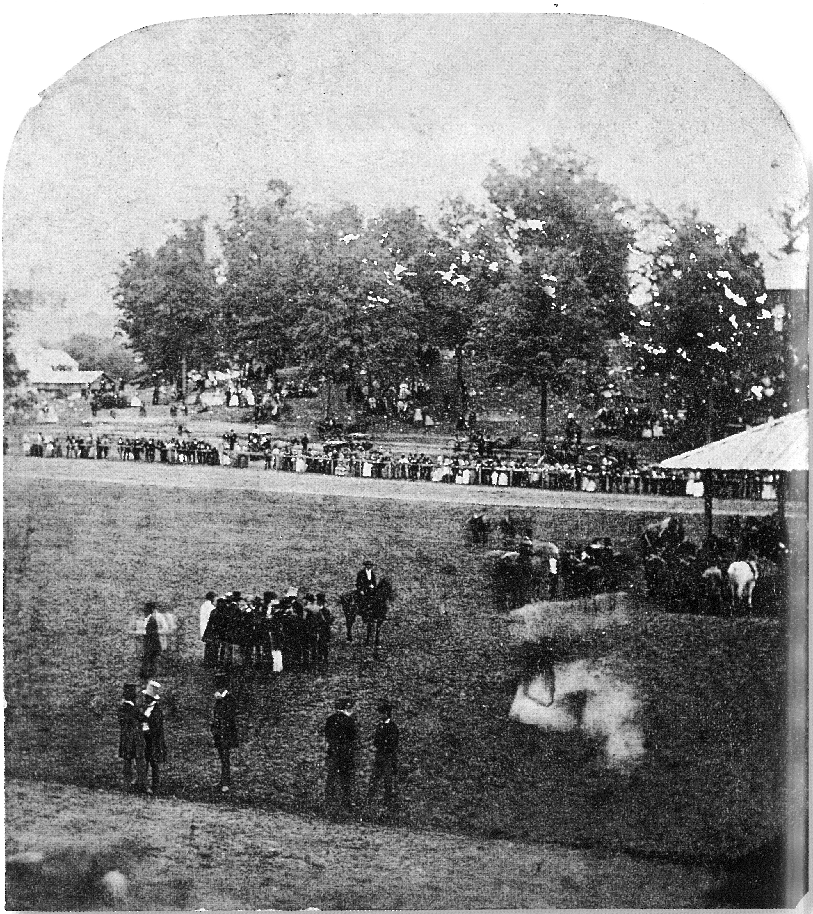
View from the Grandstand, Ohio State Fair
Building View 1

First Traffic Fatality in Ohio 15-60

_MG_0941.jpg

The beat of her heart moves an ocean in me.
29CW1124.jpg
Railroad Bridge, Zanesville, OH
Ohio ~ Zanesville
Zanesville OH 106
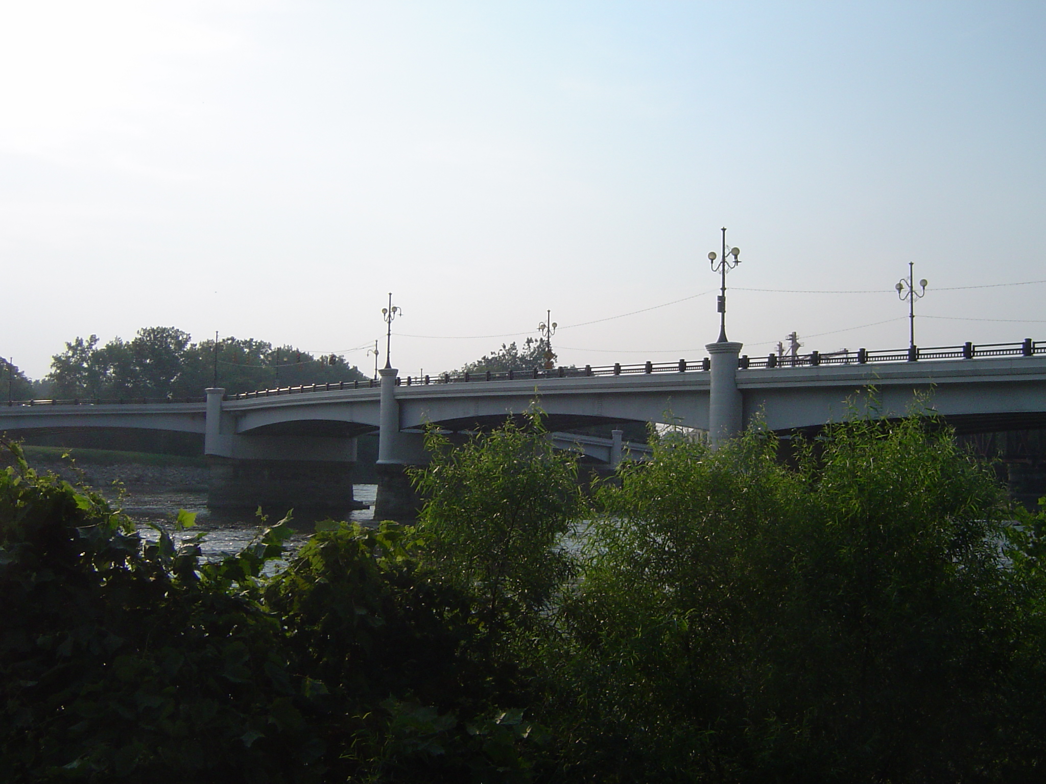
Bridge at Zanesville, Ohio

Zanesville OH 165
Y Bridge, Zanesville, OH
"Y" Bridge, Zanesville (Ohio), 23 August 1999

Run ground hog.. run!

Clouds and sun

Dillon Dam 2 - Muskingum County

Henslow's Sparrow

Goodmorning Zanesville
Projects 34.jpg

Zanesville OH 152

2012 mei Holiday Inn Zanesville uitzicht
06 Nov. 2011. Near Zanesville, OH. Brown Fields, Exit 160 off I-70.
Topographic Map of Muskingum County, OH, USA
Find elevation by address:

Places in Muskingum County, OH, USA:
Zanesville
Hopewell Township
Rich Hill Township
Muskingum Township
Meigs Township
Newton Township
Wayne Township
Union Township
Salt Creek Township
Harrison Township
Blue Rock Township
Back St, Roseville, OH, USA
Coopermill Rd, Zanesville, OH, USA
1 E Main St, New Concord, OH, USA
McDonald Rd, Chandlersville, OH, USA
Meadow Dr, Nashport, OH, USA
Front St, Philo, OH, USA
Washington Township
Brush Creek Township
Madison Township
Places near Muskingum County, OH, USA:
Pleasant Grove
Greenlawn Estates
3540 E Pike
Zane St, Zanesville, OH, USA
1072 Harvey St
730 Fountain Square
800 Harvey St
Washington Township
Marjorie And Butch's School Of Dance Llc (studio 51)
North 3rd Street
Dresden Rd, Zanesville, OH, USA
North Zanesville
12 US-40, Zanesville, OH, USA
Zanesville
940 Schlaegel Dr
1700 State St
Licking Rd, Zanesville, OH, USA
1308 Coopermill Rd
1356 Athena Ln
7320 Church Hill Rd
Recent Searches:
- Elevation of Corso Fratelli Cairoli, 35, Macerata MC, Italy
- Elevation of Tallevast Rd, Sarasota, FL, USA
- Elevation of 4th St E, Sonoma, CA, USA
- Elevation of Black Hollow Rd, Pennsdale, PA, USA
- Elevation of Oakland Ave, Williamsport, PA, USA
- Elevation of Pedrógão Grande, Portugal
- Elevation of Klee Dr, Martinsburg, WV, USA
- Elevation of Via Roma, Pieranica CR, Italy
- Elevation of Tavkvetili Mountain, Georgia
- Elevation of Hartfords Bluff Cir, Mt Pleasant, SC, USA