Elevation of Union Township, OH, USA
Location: United States > Ohio > Muskingum County >

Longitude: -81.756825

Latitude: 39.9543944

Elevation: 326m / 1070feet

Barometric Pressure: 97KPa

Elevation Map:

elevation map of Union Township, OH, USA

Satellite Map:

Satellite map of Union Township, OH, USA
Related Photos:

ohio brick brickpavement dok1 guernseycountyohio sbridge natonalroad
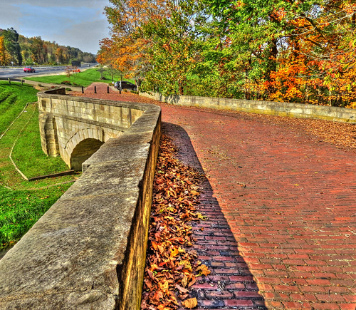
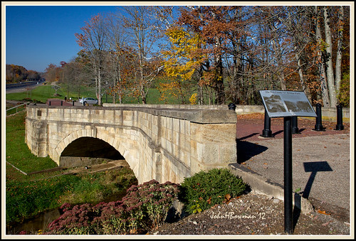
Fox Creek S Bridge
ohio october parks bridges sedum 2012 riversandstreams flowersandplants foxcreek newconcord stonestructures canon24105l stonebridges muskingumcounty localparks foxcreeksbridge october2012
Fox Creek "S" Bridge, 1828
ohio vintage postcard motel norwich roomview bakers qualityinn poolview triview
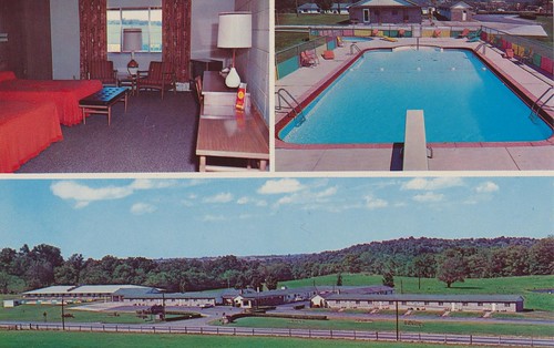
Baker's Motel - Norwich, Ohio
West View
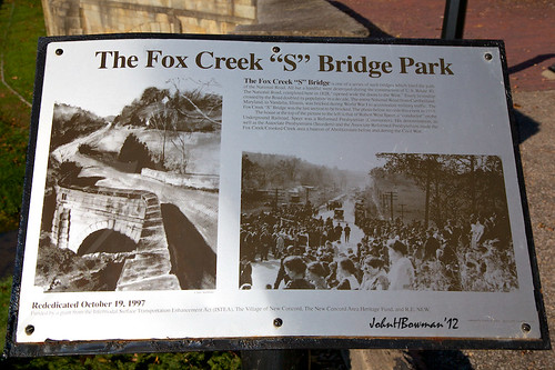
ohio signs october parks bridges 2012 historicalmarkers newconcord canon24105l muskingumcounty localparks foxcreeksbridge october2012
Fox Creek "S" Bridge & Park Sign
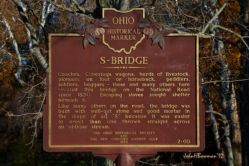
ohio signs october parks bridges 2012 historicalmarkers newconcord canon24105l muskingumcounty localparks foxcreeksbridge october2012
Fox Creek "S" Bridge Historical Marker
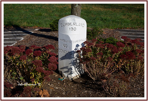
ohio signs october parks sedum 2012 oldsigns flowersandplants newconcord canon24105l muskingumcounty highwaymarkers localparks october2012
National Road Milepost Marker
education library institutional newconcordoh muskingumuniversitylibrary
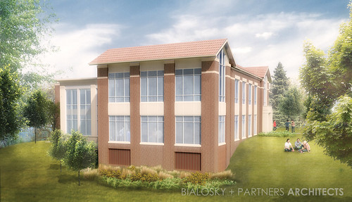
Northwest View
Northeast View
ohio pentax k100d justpentax smcpda1645mmf40edal
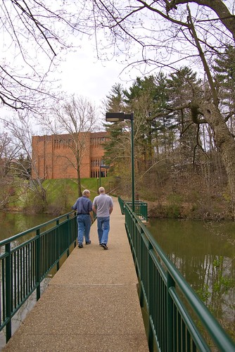
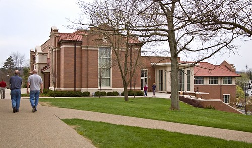
Muskingum College
furniture spaces studyarea muskingumcollegelibrary
Hidden view revealed
muskingumcollegelibrary referenceweedingproject
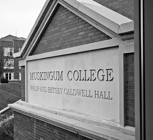
Great views of Montgomery and Caldwell Halls
reference muskingumcollegelibrary
Current view Circ Desk to Ref Desk
people documentary muskingumcollegelibrary authortalk muskingumuniversitylibrary muskingumuniversity
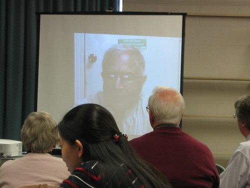
Viewing Dr. Steve McGuire's Documentary
ohio pentax k100d justpentax smcpda1645mmf40edal
Muskingum College
reference muskingumcollegelibrary
Current view Ref Desk to Circ Desk
ohio pentax k100d justpentax smcpda1645mmf40edal
Muskingum College
waymarking remarkableohio
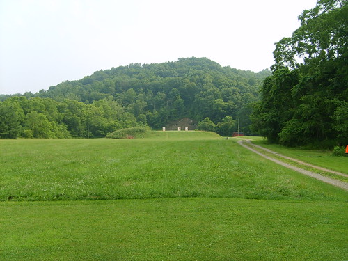
First Traffic Fatality in Ohio 15-60
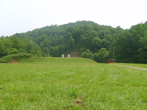
guns range
200 Yards
guns range
From 100 yards
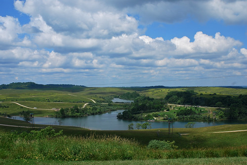
ohio panorama nature animal zoo tour view wildlife conservation center safari overlook preserve cumberland wilds
Overlook View
ohio oh zanesvilleoh
Zanesville OH 152
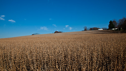
travel landscapes personalfavorites
06 Nov. 2011. Near Zanesville, OH. Brown Fields, Exit 160 off I-70.
ohio oh zanesvilleoh
Zanesville OH 150
ohio oh zanesvilleoh
Zanesville OH 165
ohio animals zoo conservation safari animalpark zoos thewilds safarithewilds animalsthewilds
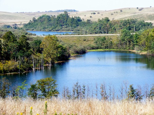
The Wilds - Landscape
square squareformat iphoneography instagramapp xproii uploaded:by=instagram foursquare:venue=4bbb5223cf2fc9b6556ca202
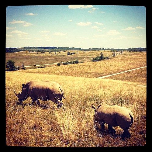
Mother and foal. #babyanimals #TheWilds #Conservation #Wildlife #nature #lake #sunset
adamhall trackhead trackheadstudios trackheadxxx
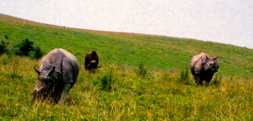
TrackHead Studios - Rhino Dinnertime
square squareformat iphoneography instagramapp xproii uploaded:by=instagram foursquare:venue=4bbb5223cf2fc9b6556ca202
team rhino
The Wilds
The Wilds
The Wilds
The Wilds
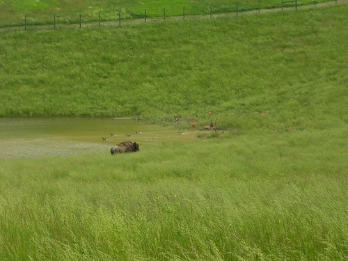
bison thewilds
A bison hanging out in a pond with some geese and some sort of deer
square squareformat mayfair iphoneography instagramapp uploaded:by=instagram foursquare:venue=4bbb5223cf2fc9b6556ca202
Going ziplining!!!!
The Wilds
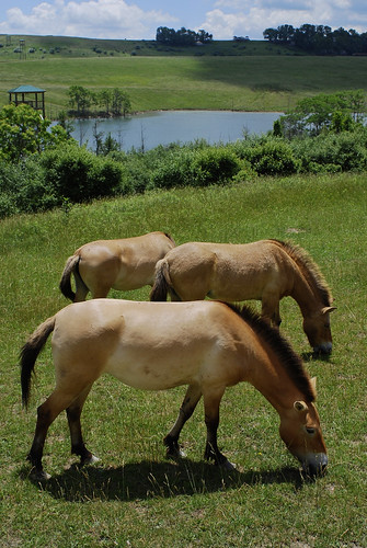
ohio wild horse nature animal mammal zoo tour wildlife conservation center safari preserve cumberland equine wilds przewalskis
Wild Horses...
ohio oh bluerockohio
Blue Rock Ohio 154
ohio sky bw white black nature grass clouds landscape empty horizon barren preserve cumberland wilds
Cloudy Sky
The Wilds
The Wilds