Elevation of Licking Rd, Zanesville, OH, USA
Location: United States > Ohio > Muskingum County > Zanesville >
Longitude: -82.032518
Latitude: 39.954013
Elevation: 217m / 712feet
Barometric Pressure: 0KPa
Related Photos:
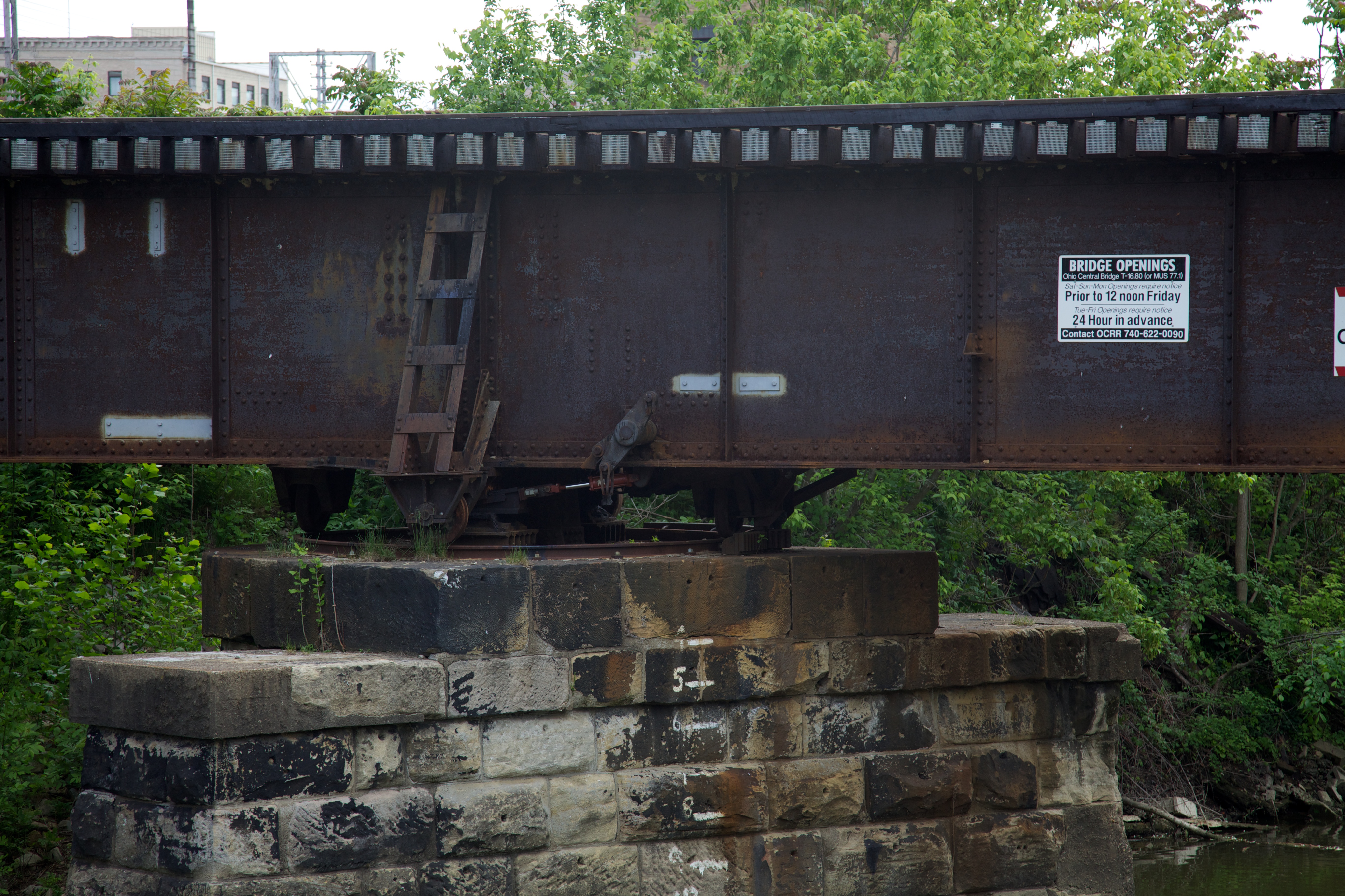
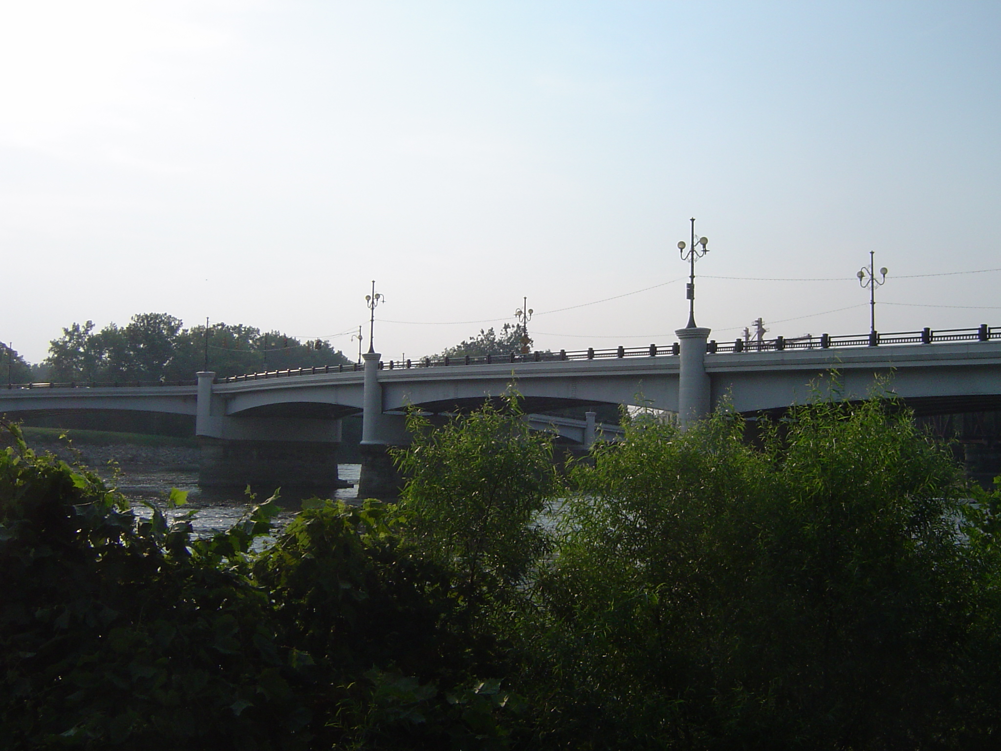
Bridge Openings
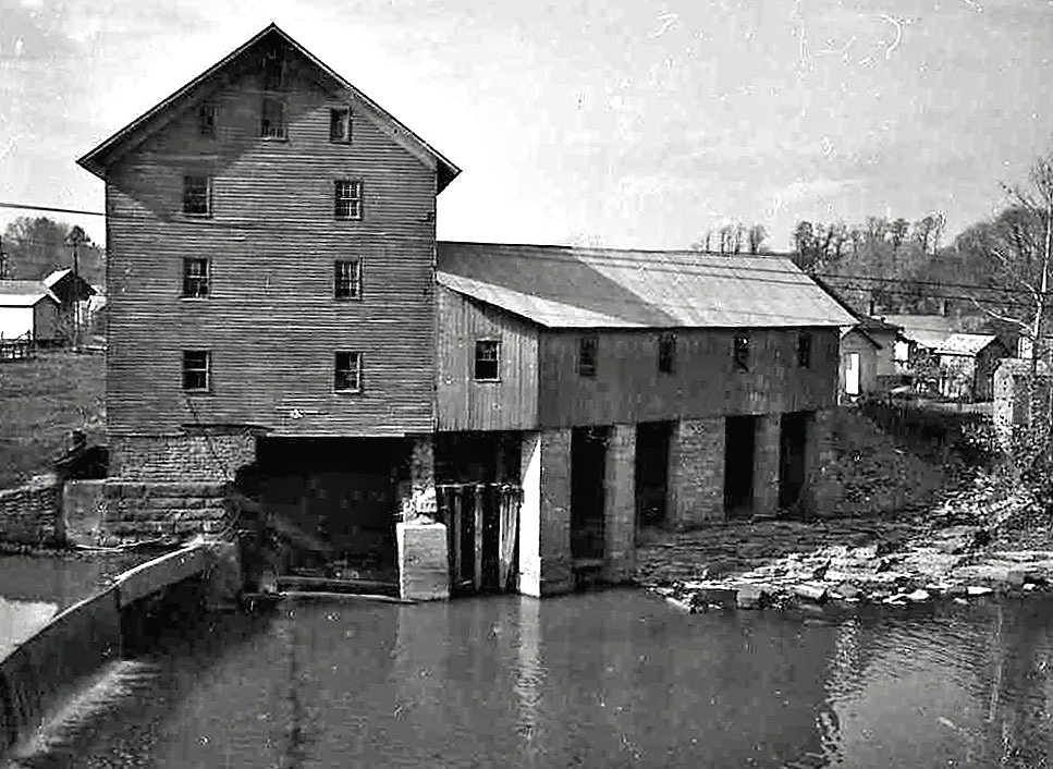
Old mill viewed from a train
Y Bridge - Zanesville, Ohio
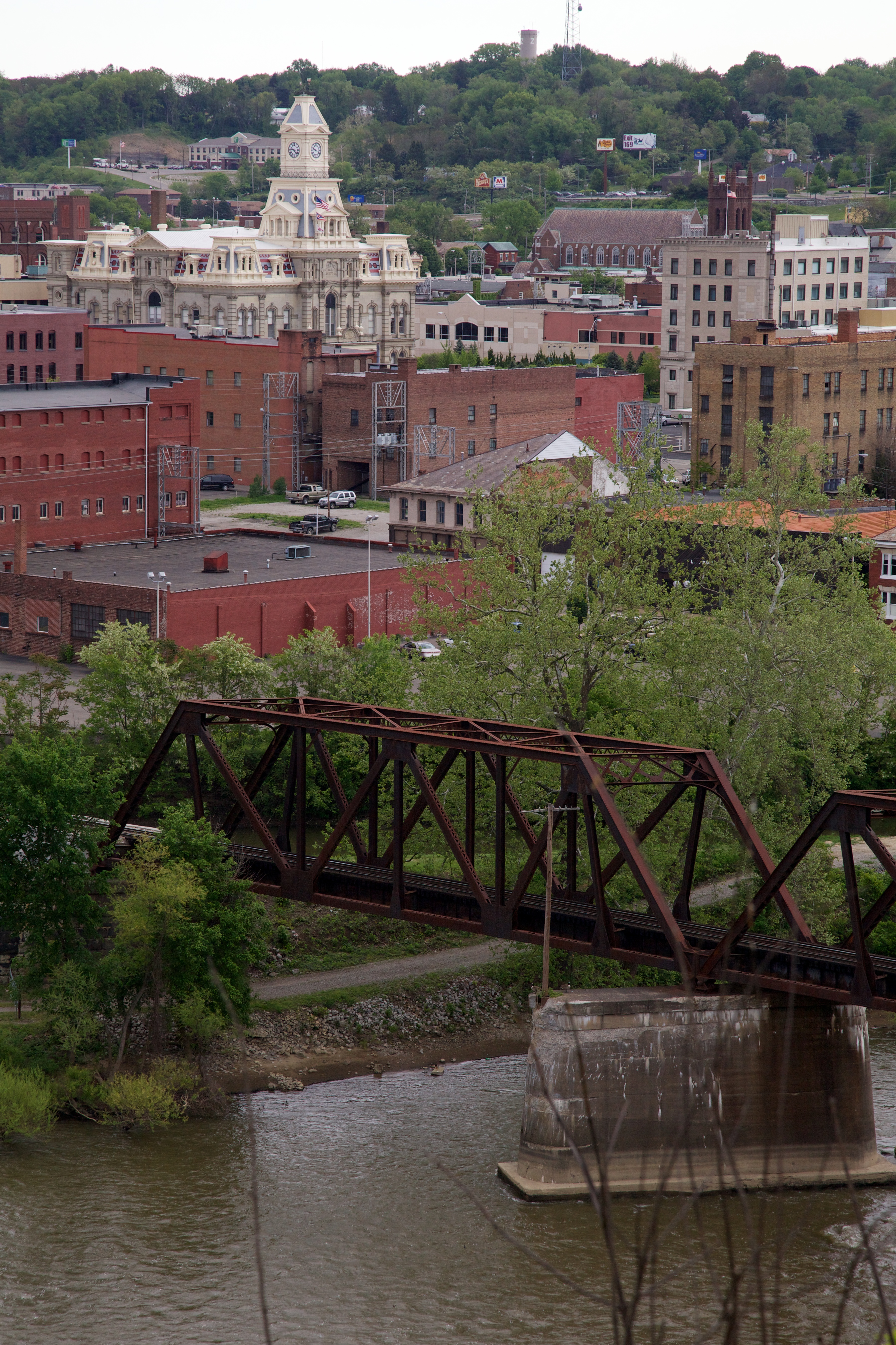
View of downtown Zanesville
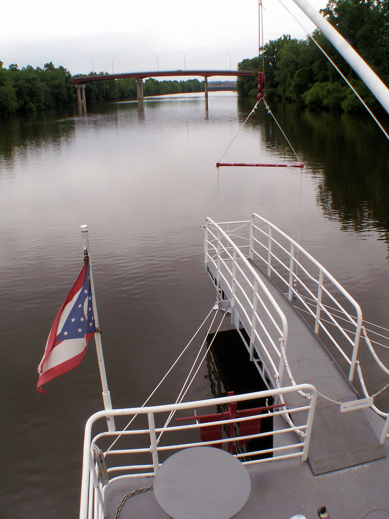
Lorena Sternwheeler upriver
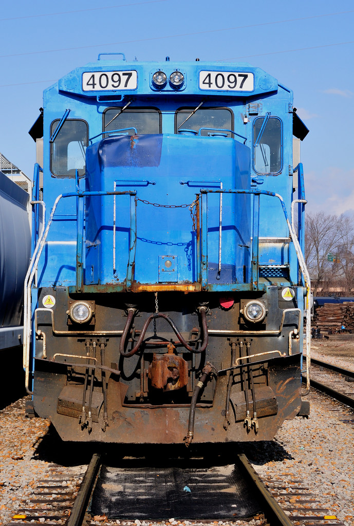
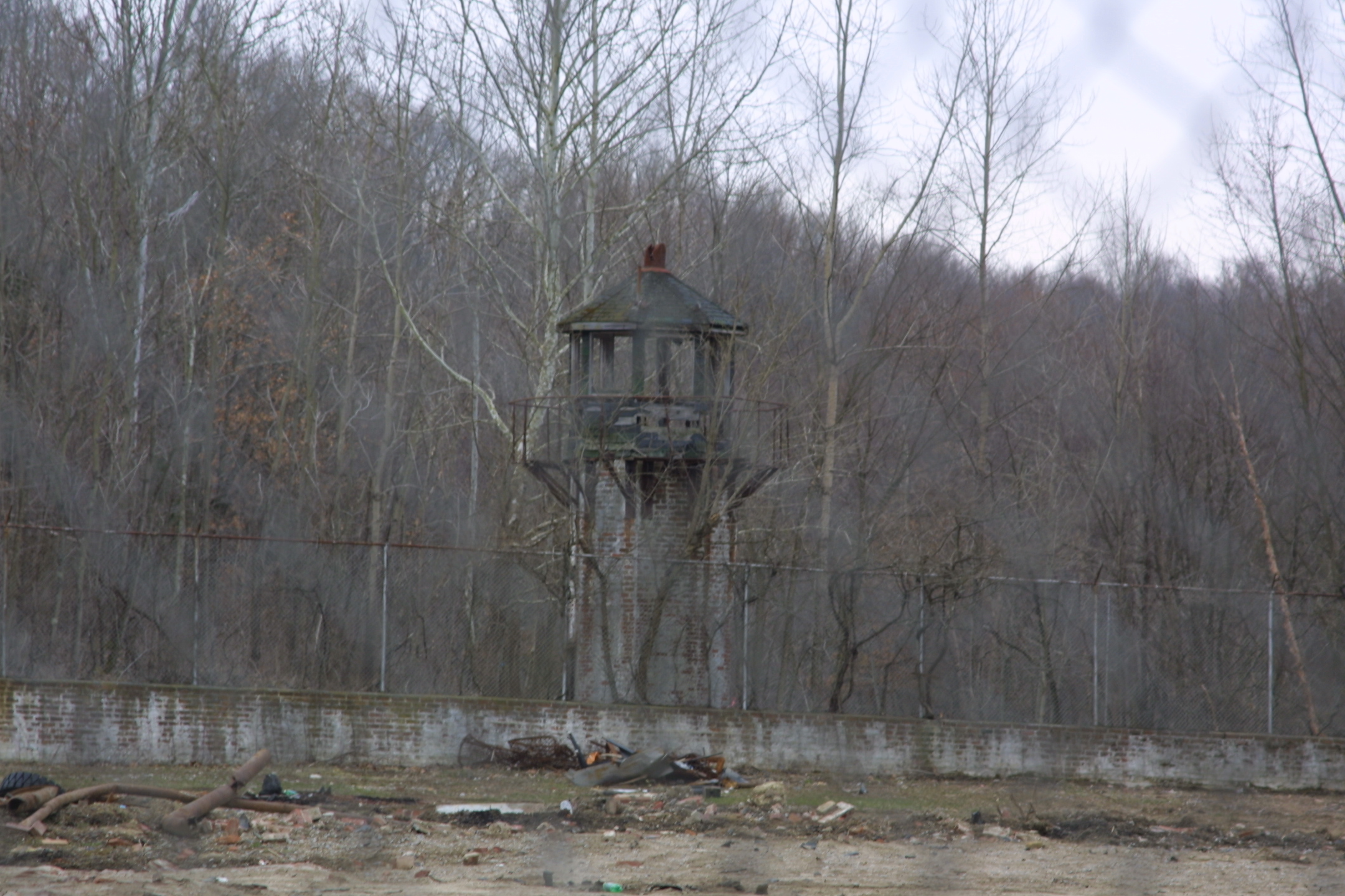
Conrail's Ghost
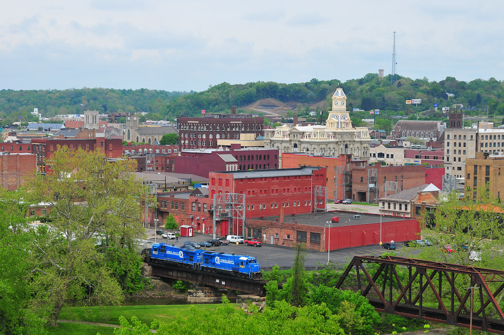
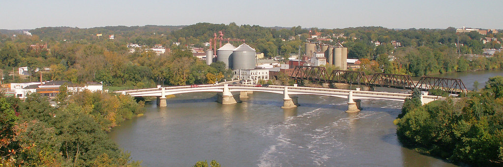
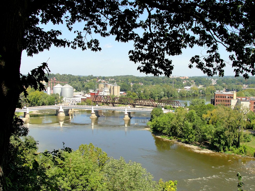
Zanesville Overview
Over the river comes the Super 7s
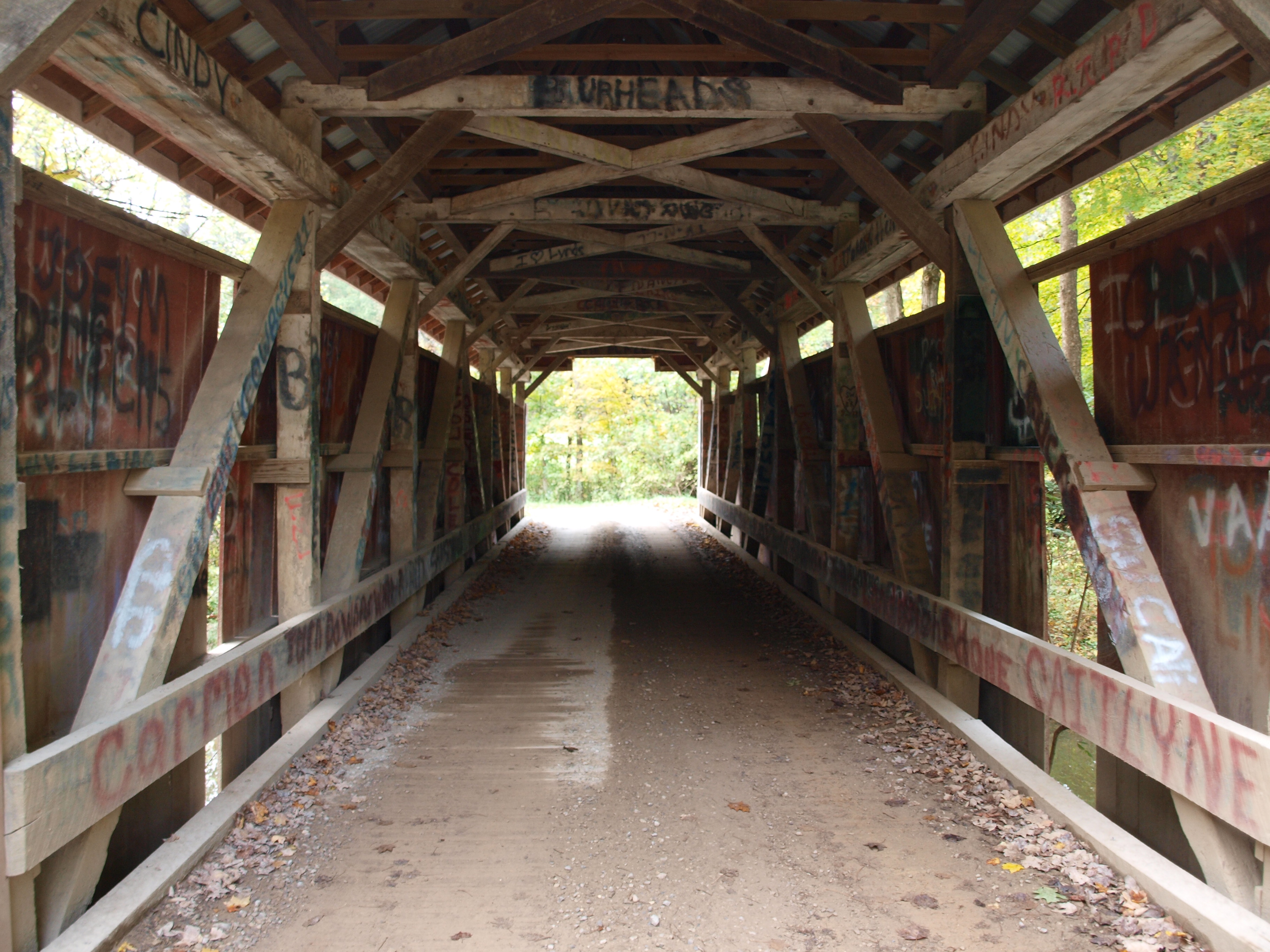
Jacks Hollow Covered Bridge, barrel view, Perry County, Ohio
Jacks Hollow Covered Bridge, view from bridge, Perry County, Ohio
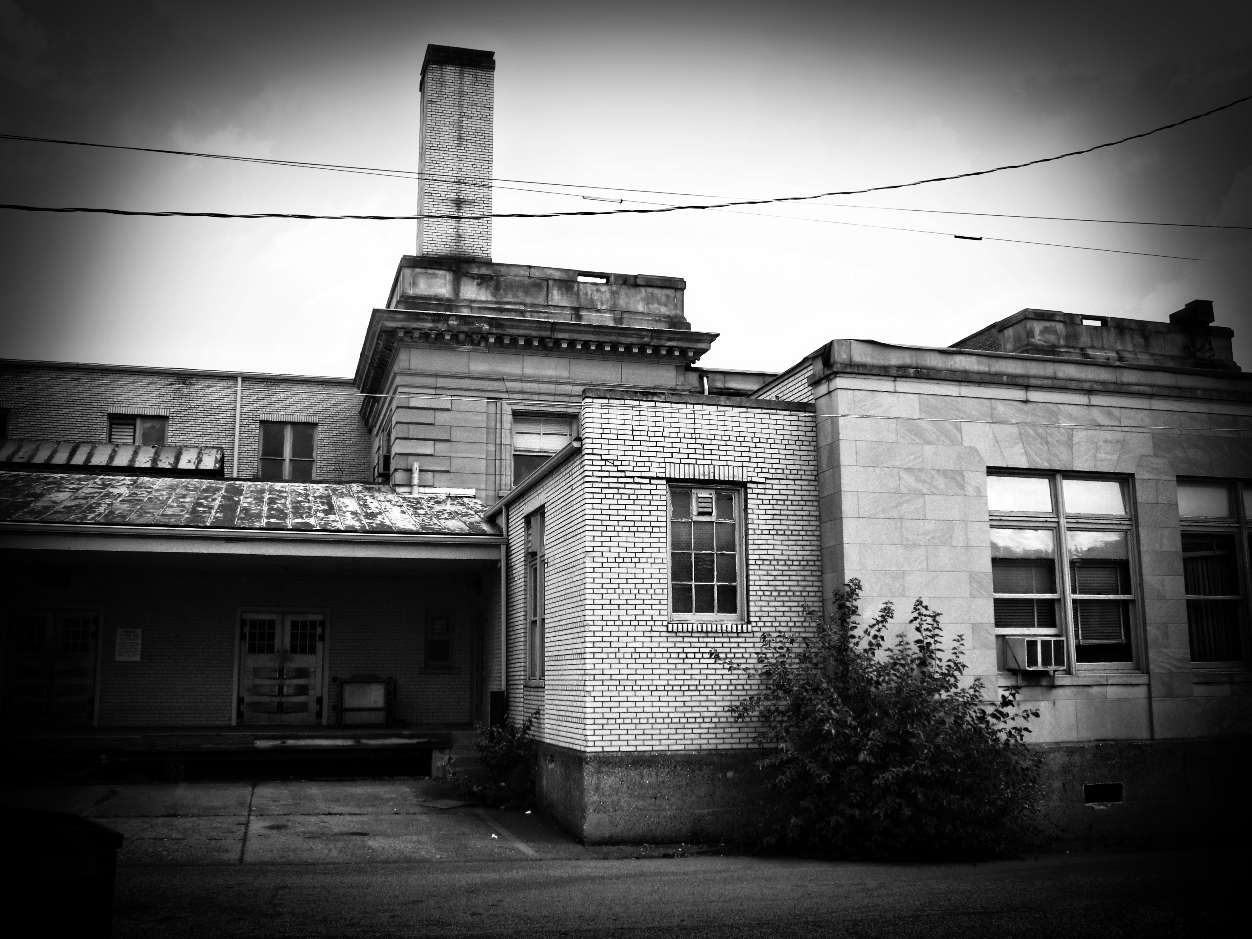
Building View 2

Reflections: After the storm, Rainbow in the Rear View #rainbowloom #roadtrips #amazingshotz_ #lgg4 #mobilephotography
IMG_4158.JPG
IMG_4143.JPG
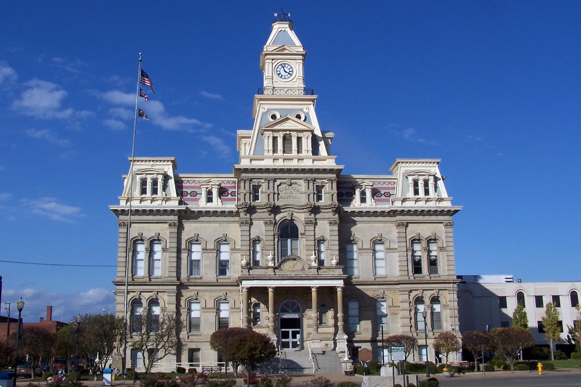
Muskingum County Courthouse, Front View

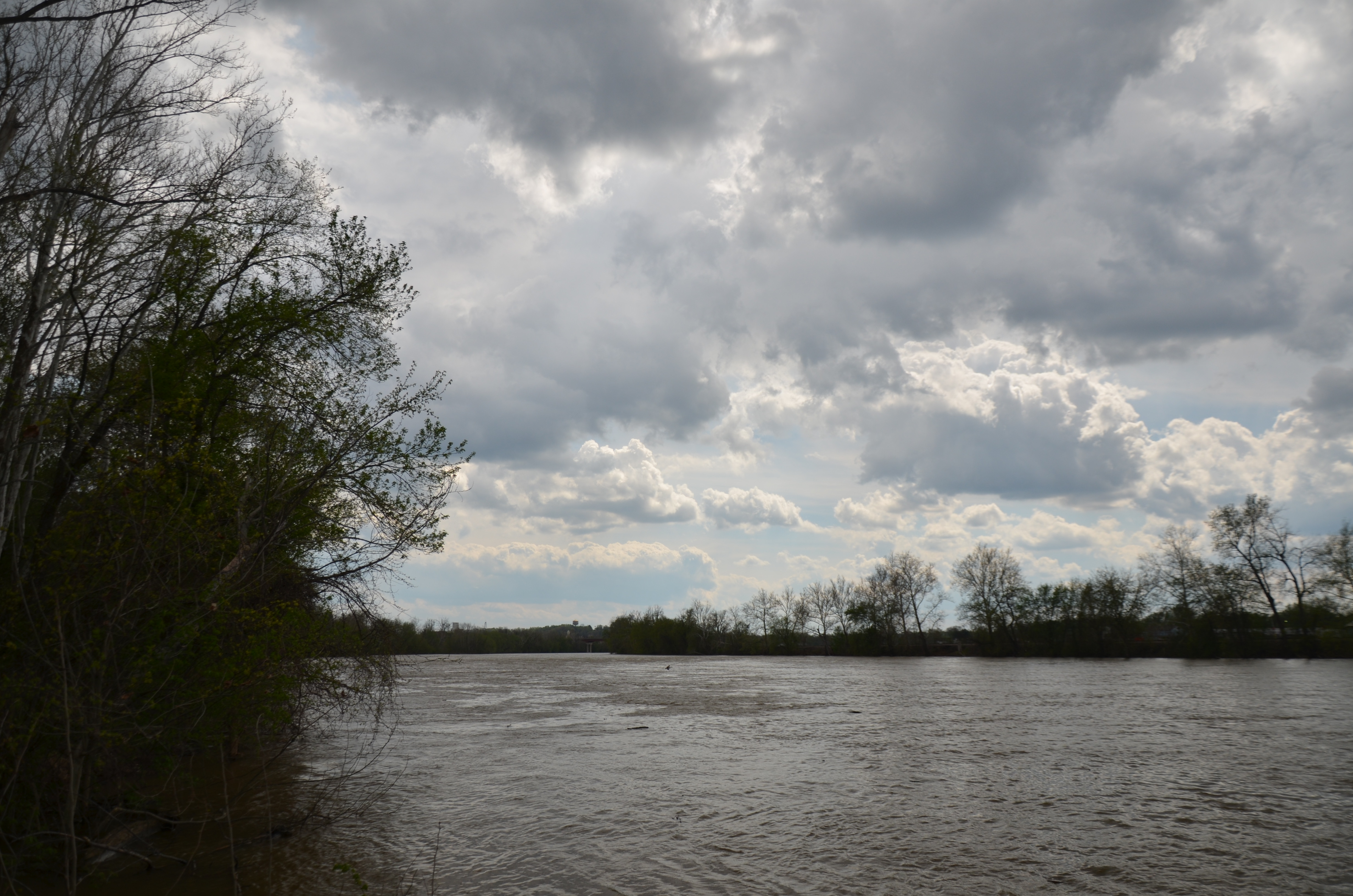
View on the Muskingum near Zanesville, Ohio
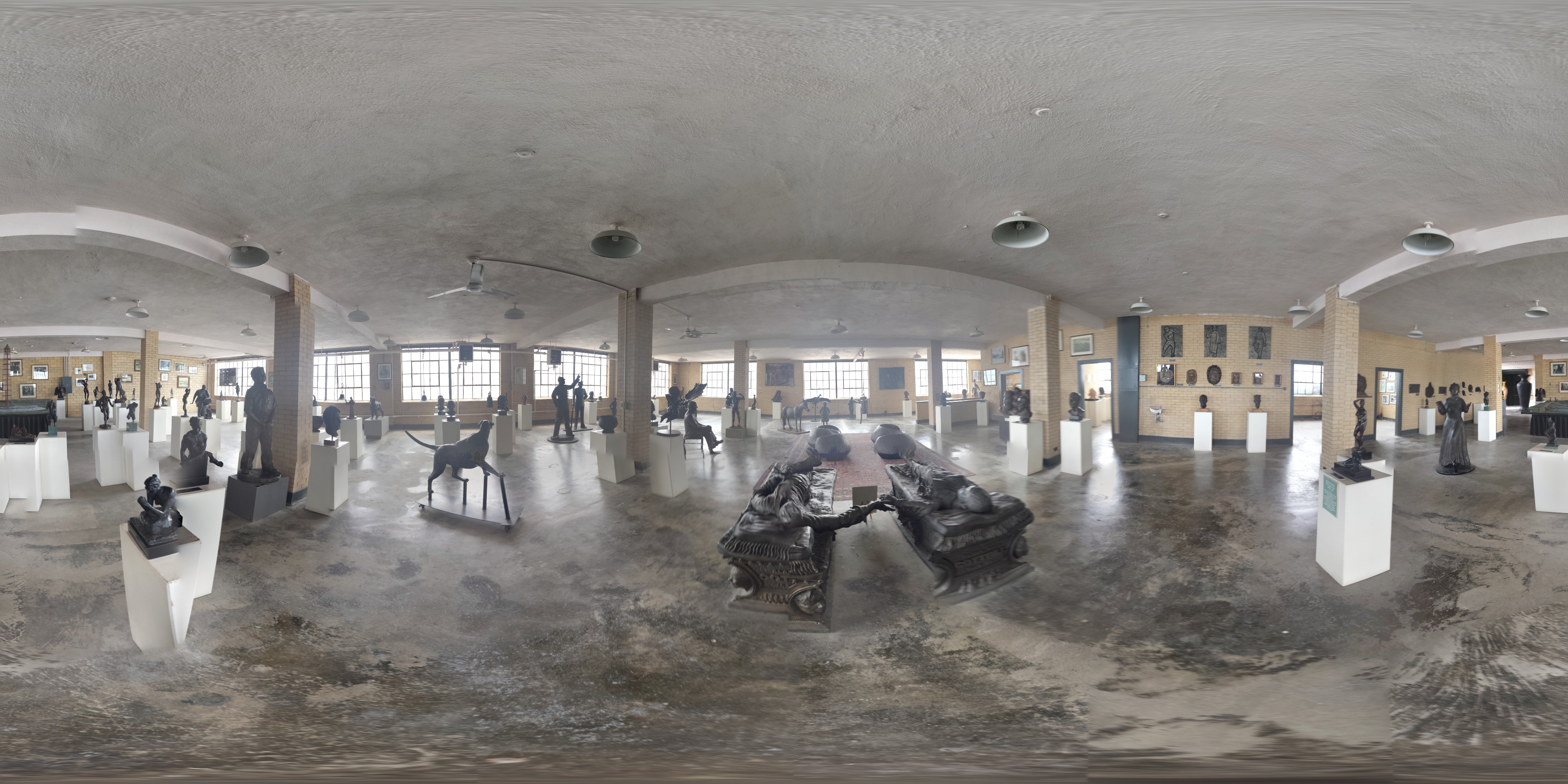
360 Panorama Shot Alan Cottrill Studio and Gallery - Zanesville

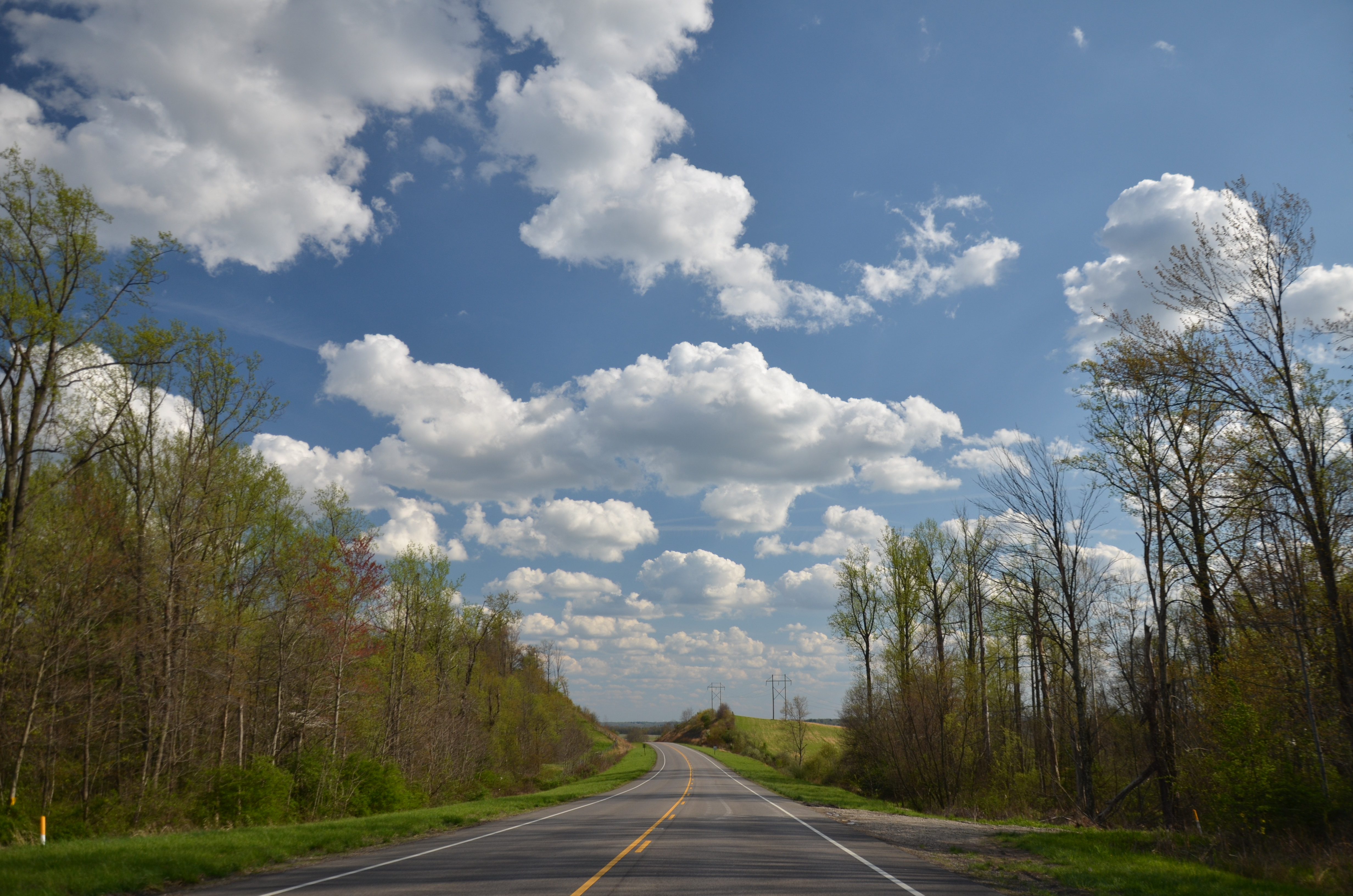
View near Zanesville
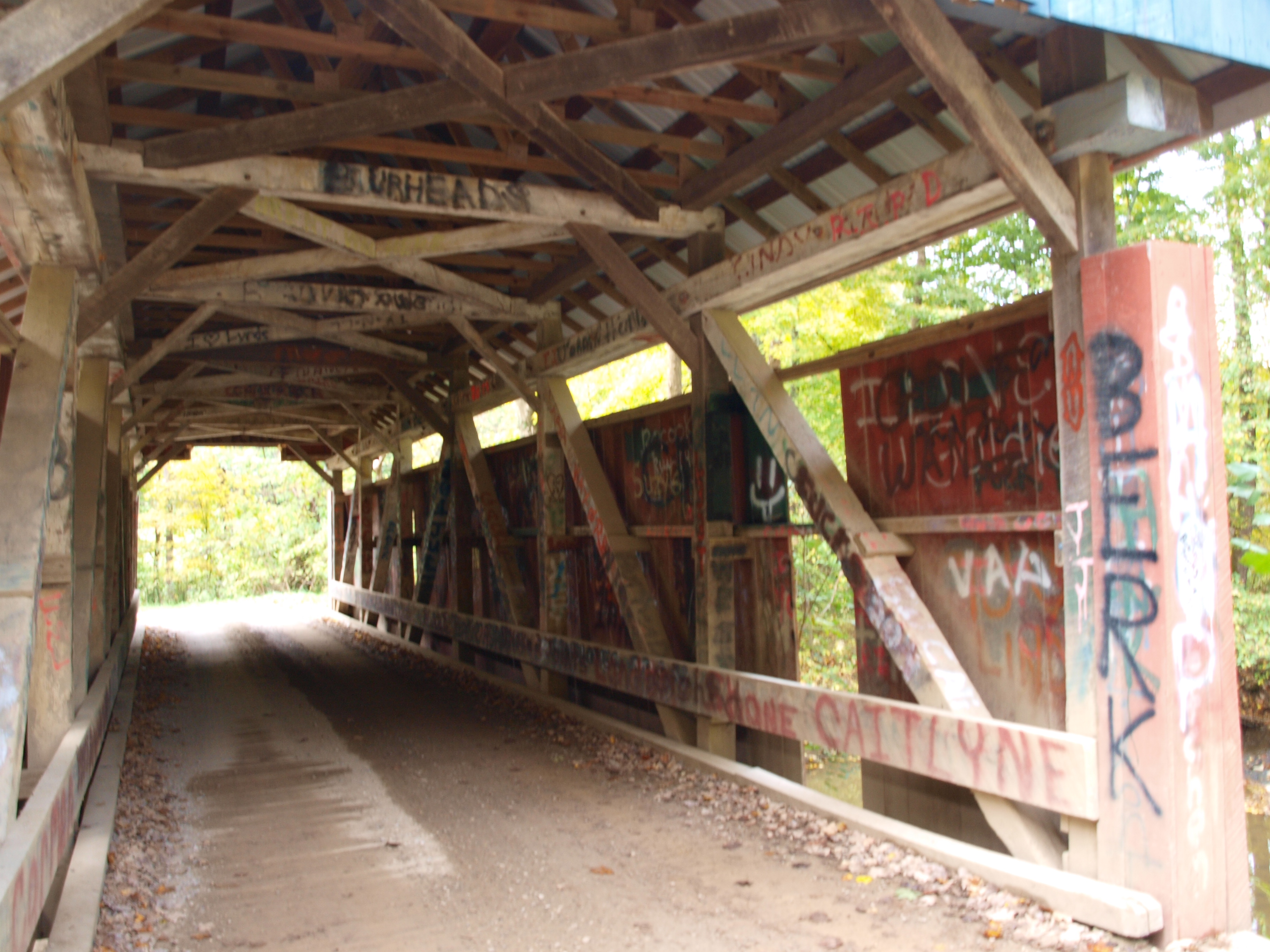
Jacks Hollow Covered Bridge, truss view, Perry County, Ohio
-Side view of the Y-Bridge, Zanesville, Ohio

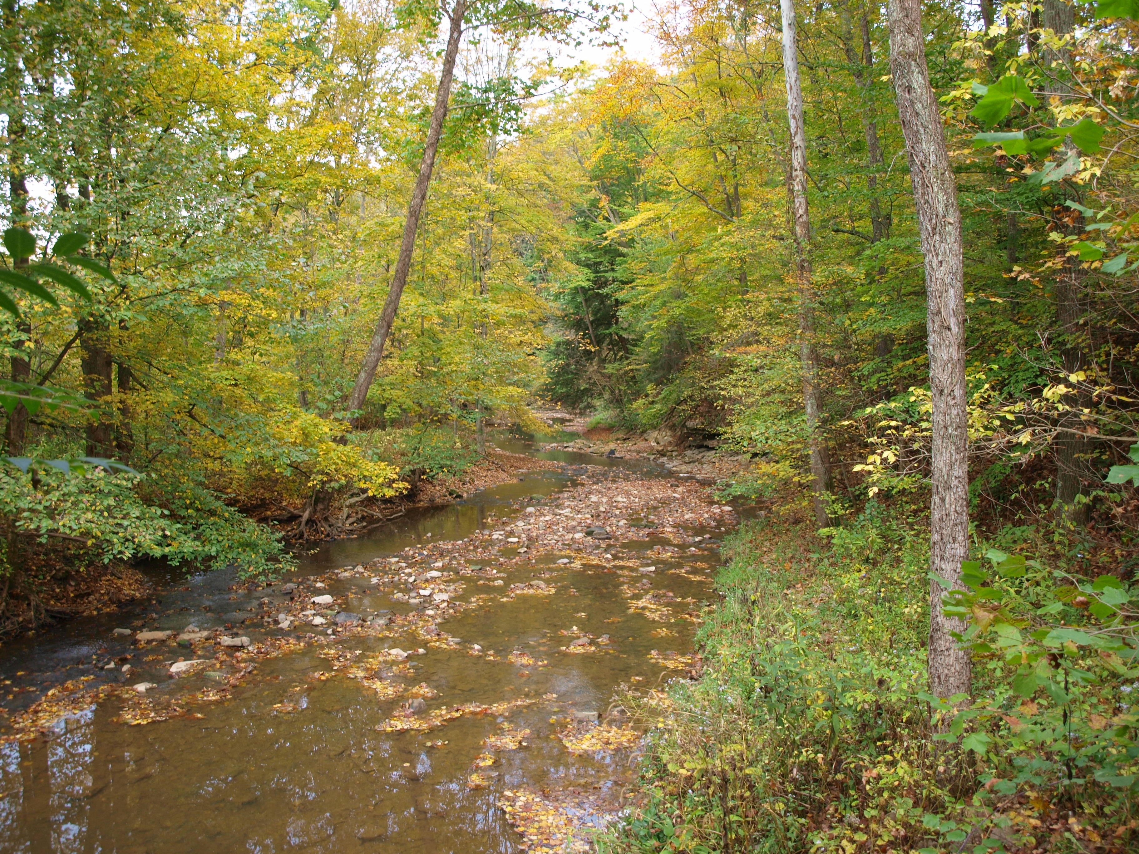
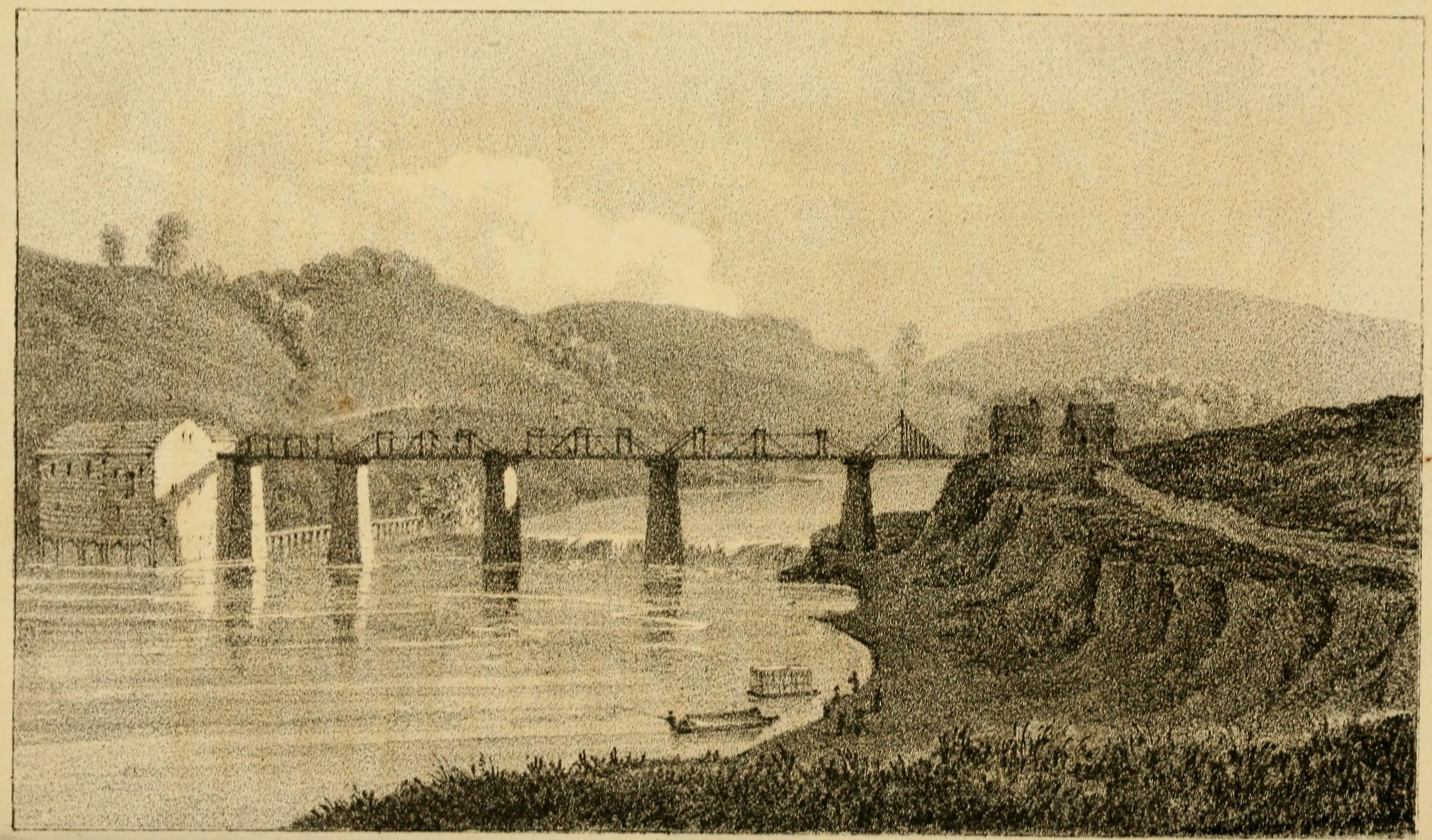
View of the Country round Zanesville
Y-bridge
Zanesville Y Bridge

The beat of her heart moves an ocean in me.

Hay Fever
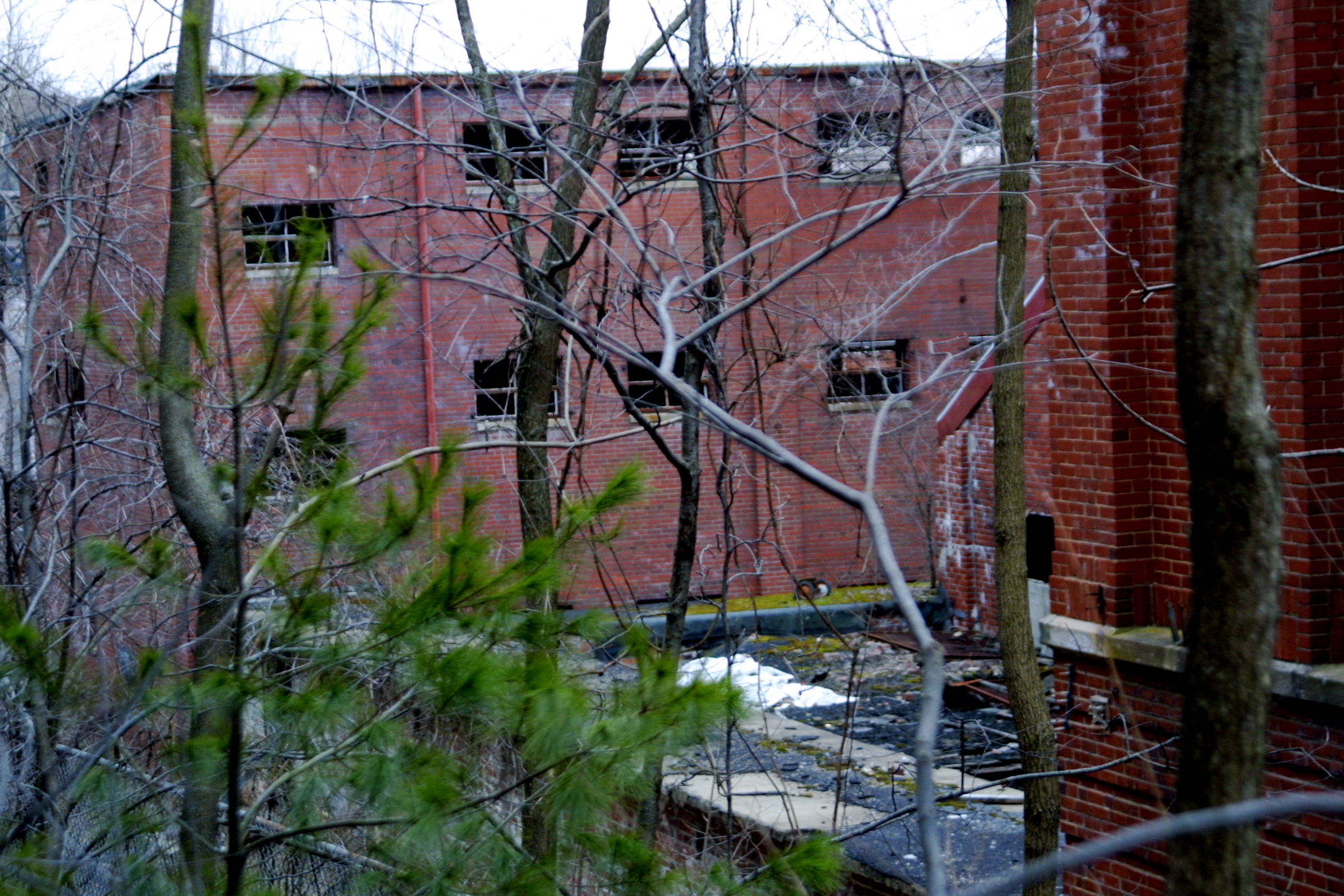
Projects 34.jpg

Ohio Central Tunnel Motor on a Coal Train
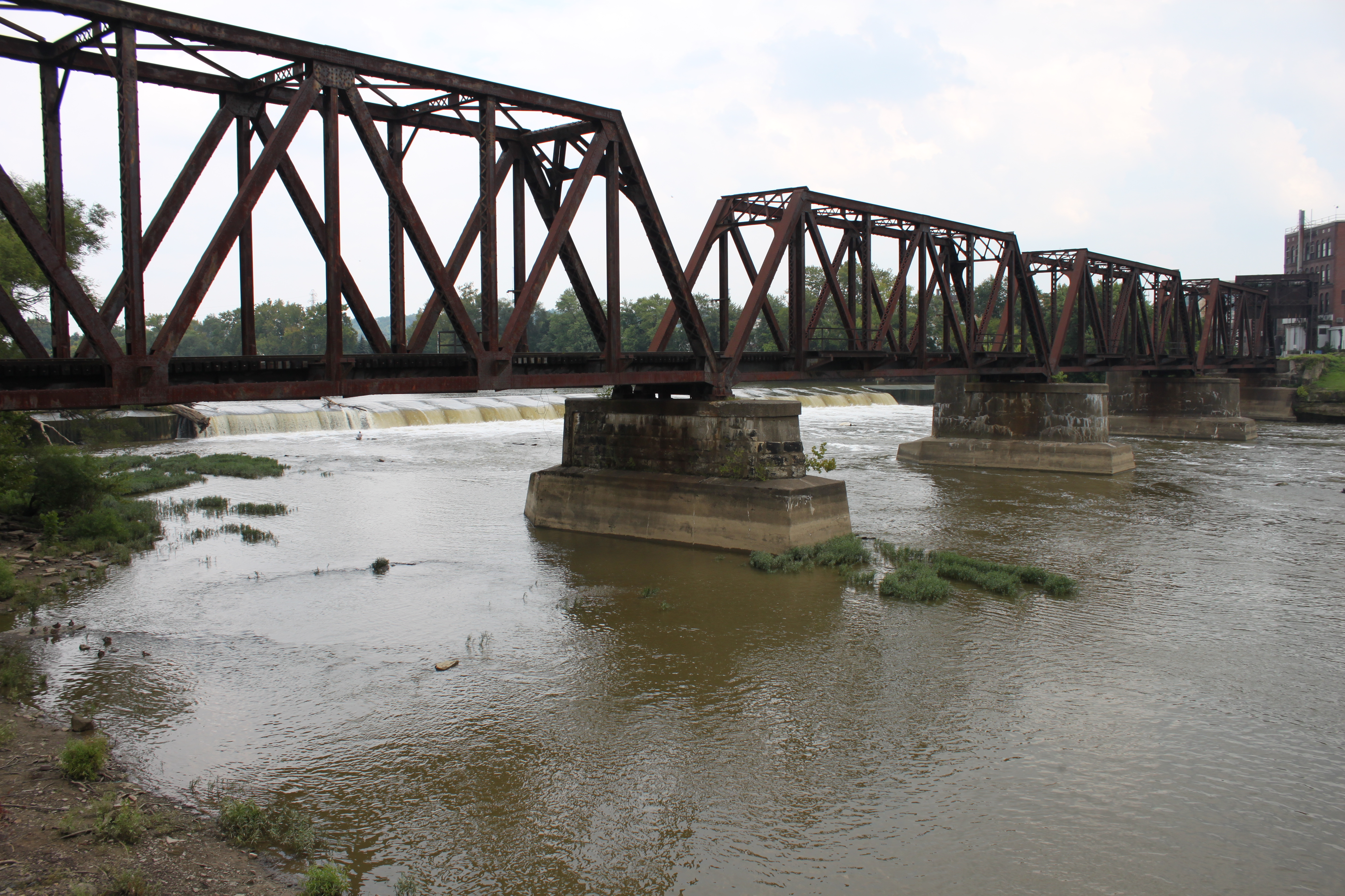
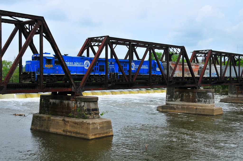
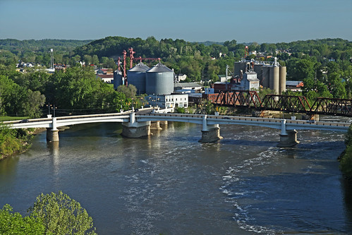
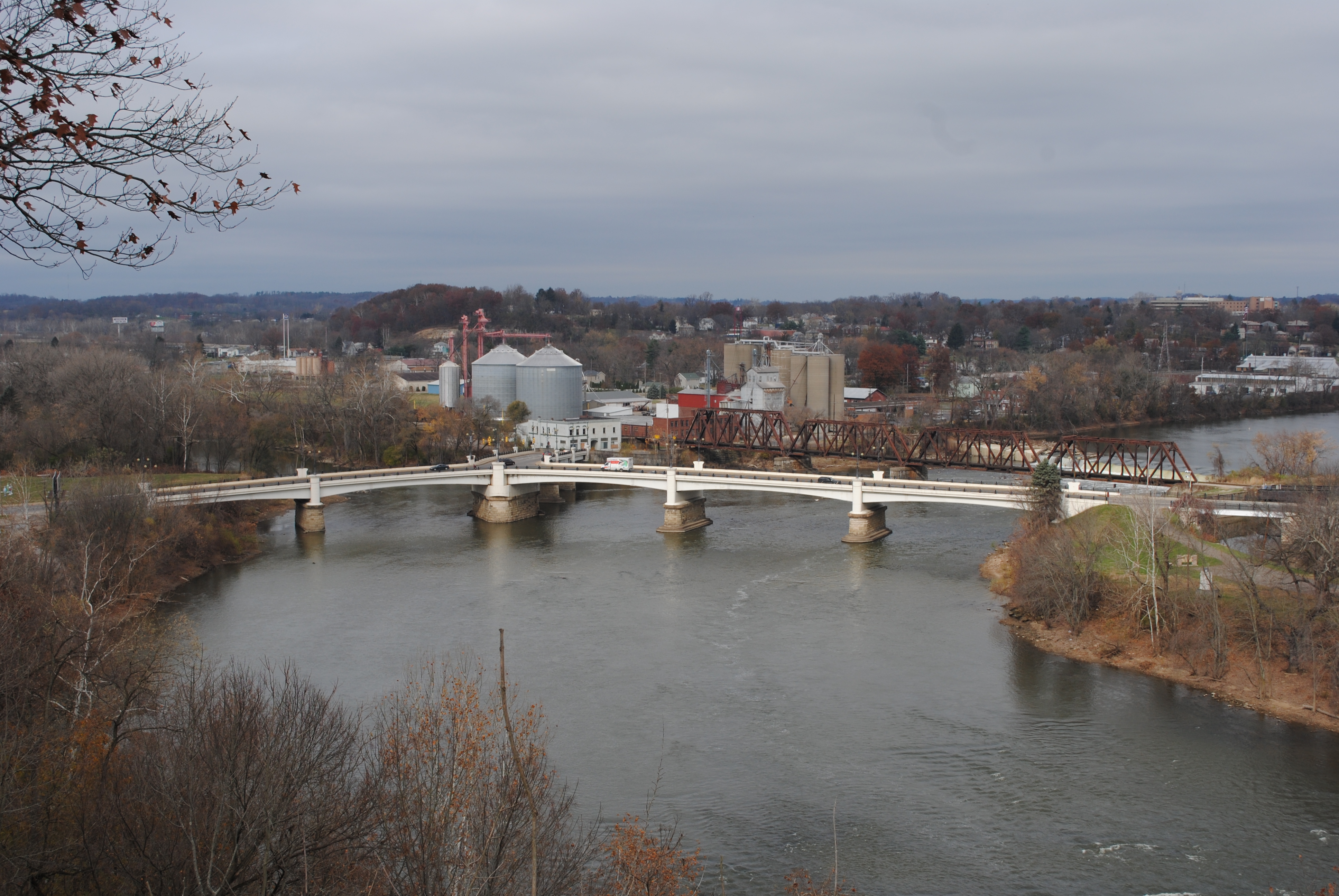
Railroad Bridge, Zanesville, OH
Ohio ~ Zanesville
Zanesville OH 106

2012 mei Holiday Inn Zanesville uitzicht

18 tee box
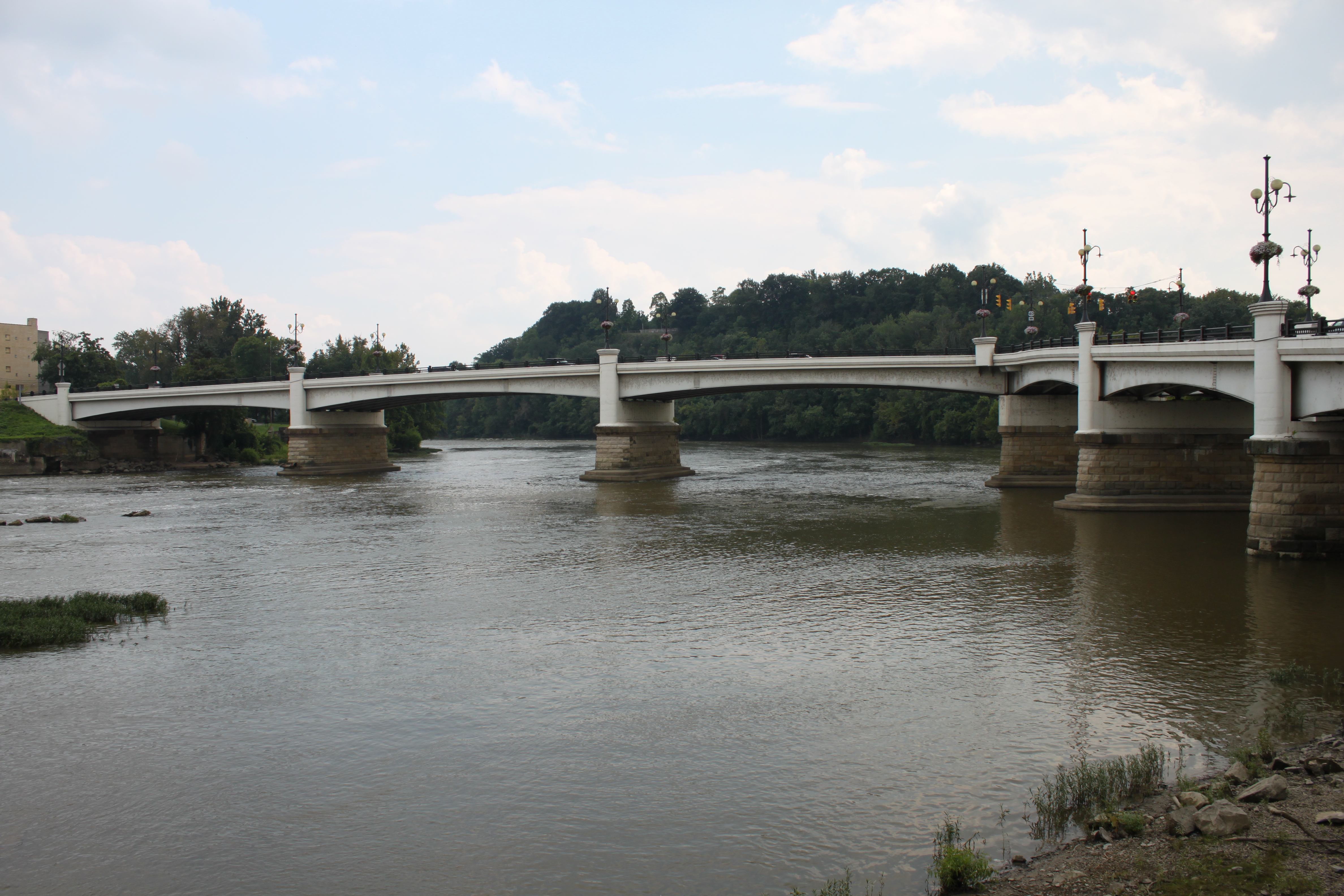
Bridge at Zanesville, Ohio
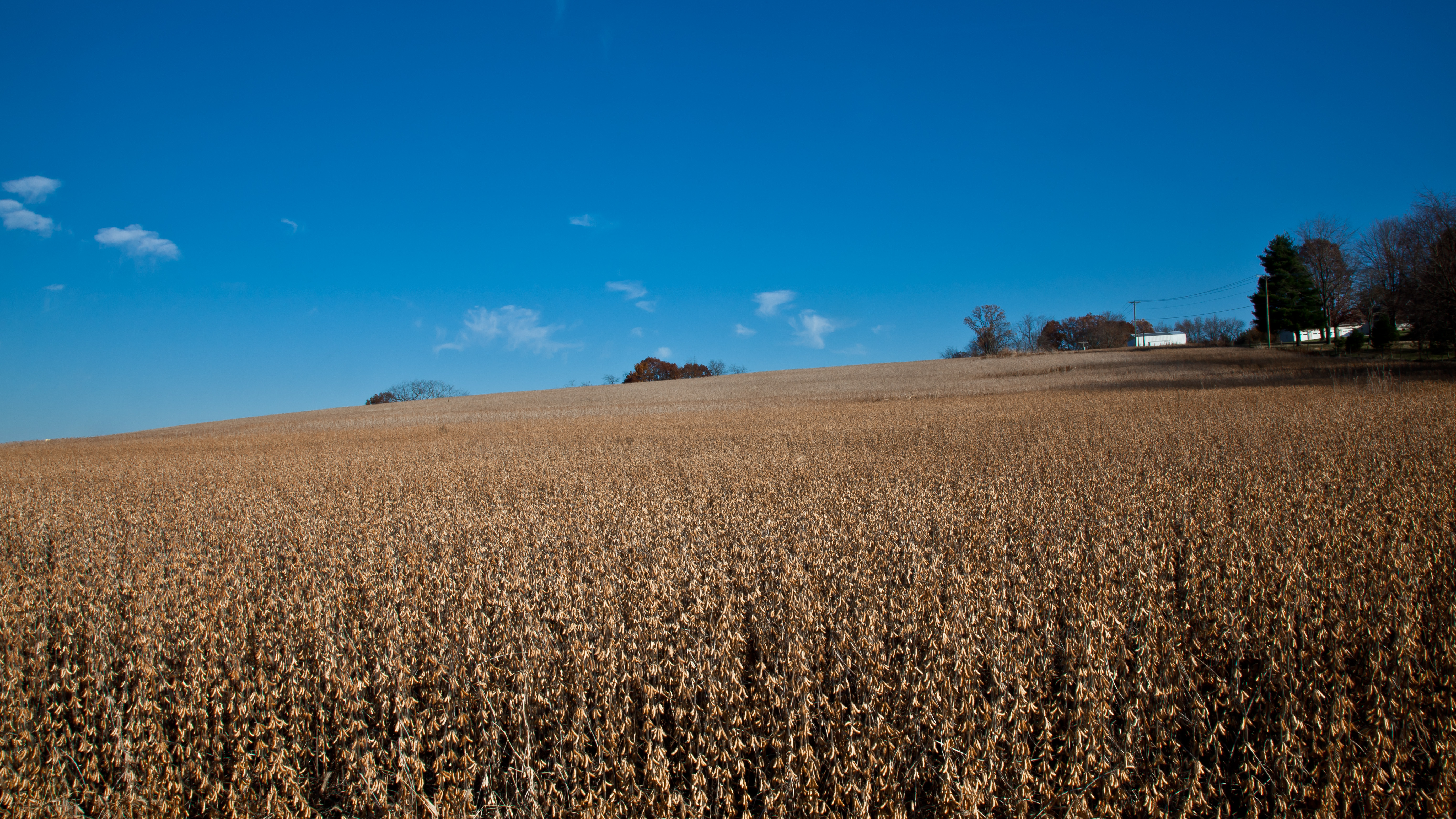
06 Nov. 2011. Near Zanesville, OH. Brown Fields, Exit 160 off I-70.
Zanesville OH 150
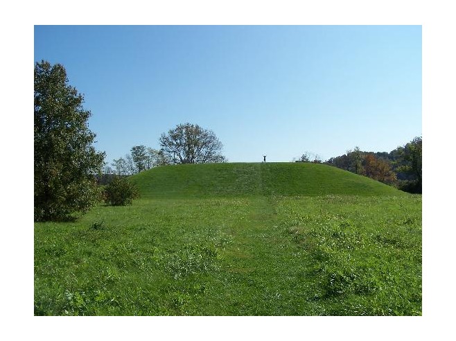
Karen atop Seip Mound
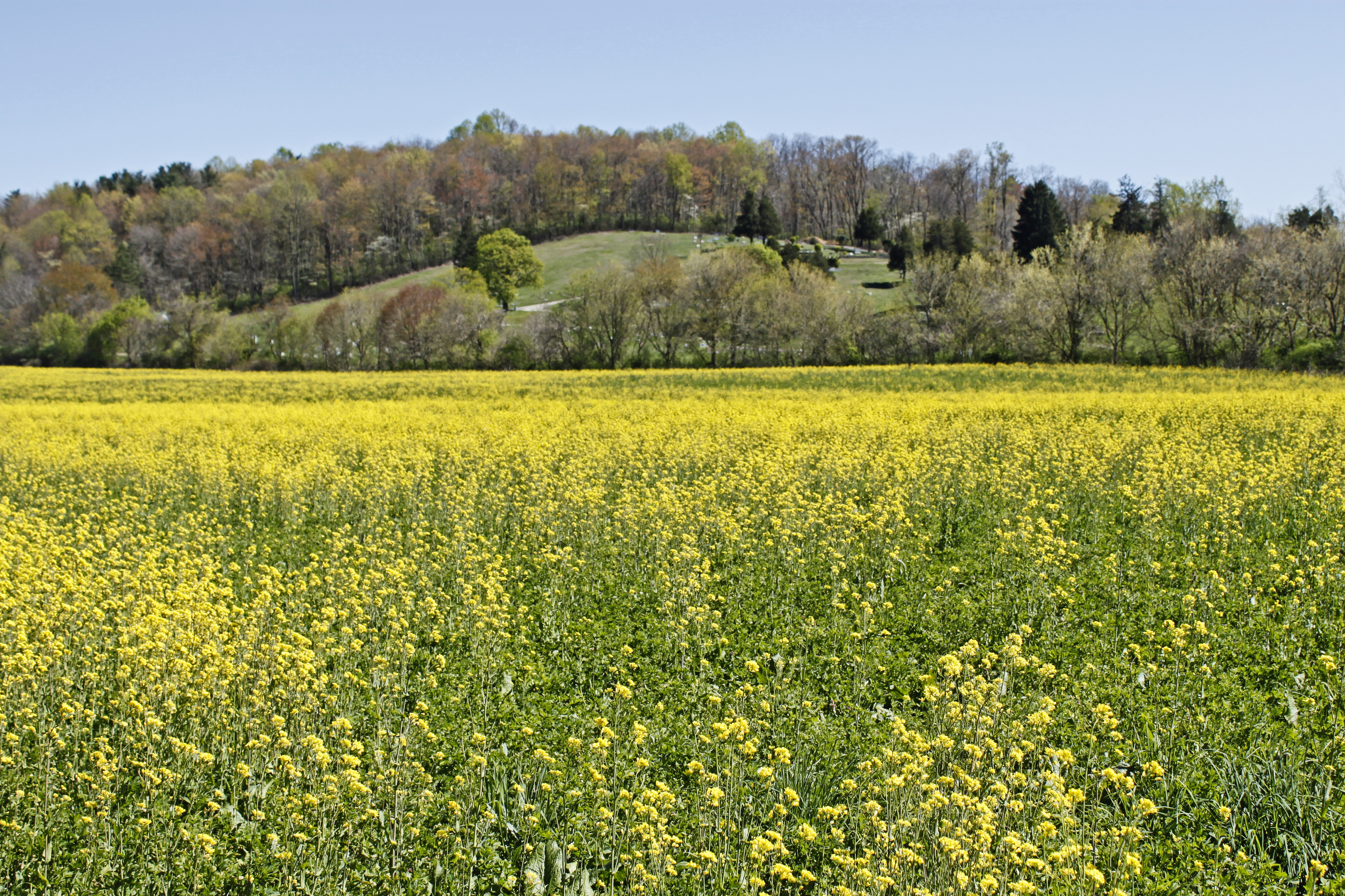
Field of Gold

Zanesville OH 146
Y Bridge, Zanesville, OH

Early Morning At 3810
Zanesville OH 039
Topographic Map of Licking Rd, Zanesville, OH, USA
Find elevation by address:

Places near Licking Rd, Zanesville, OH, USA:
1700 State St
Zanesville
12 US-40, Zanesville, OH, USA
North 3rd Street
1356 Athena Ln
1308 Coopermill Rd
Marjorie And Butch's School Of Dance Llc (studio 51)
730 Fountain Square
800 Harvey St
Zane St, Zanesville, OH, USA
North Zanesville
Dresden Rd, Zanesville, OH, USA
1072 Harvey St
940 Schlaegel Dr
Greenlawn Estates
Pleasant Grove
Muskingum County
6125 Southview Dr
Coopermill Rd, Zanesville, OH, USA
3540 E Pike
Recent Searches:
- Elevation of 10370, West 107th Circle, Westminster, Jefferson County, Colorado, 80021, USA
- Elevation of 611, Roman Road, Old Ford, Bow, London, England, E3 2RW, United Kingdom
- Elevation of 116, Beartown Road, Underhill, Chittenden County, Vermont, 05489, USA
- Elevation of Window Rock, Colfax County, New Mexico, 87714, USA
- Elevation of 4807, Rosecroft Street, Kempsville Gardens, Virginia Beach, Virginia, 23464, USA
- Elevation map of Matawinie, Quebec, Canada
- Elevation of Sainte-Émélie-de-l'Énergie, Matawinie, Quebec, Canada
- Elevation of Rue du Pont, Sainte-Émélie-de-l'Énergie, Matawinie, Quebec, J0K2K0, Canada
- Elevation of 8, Rue de Bécancour, Blainville, Thérèse-De Blainville, Quebec, J7B1N2, Canada
- Elevation of Wilmot Court North, 163, University Avenue West, Northdale, Waterloo, Region of Waterloo, Ontario, N2L6B6, Canada
- Elevation map of Panamá Province, Panama
- Elevation of Balboa, Panamá Province, Panama
- Elevation of San Miguel, Balboa, Panamá Province, Panama
- Elevation of Isla Gibraleón, San Miguel, Balboa, Panamá Province, Panama
- Elevation of 4655, Krischke Road, Schulenburg, Fayette County, Texas, 78956, USA
- Elevation of Carnegie Avenue, Downtown Cleveland, Cleveland, Cuyahoga County, Ohio, 44115, USA
- Elevation of Walhonding, Coshocton County, Ohio, USA
- Elevation of Clifton Down, Clifton, Bristol, City of Bristol, England, BS8 3HU, United Kingdom
- Elevation map of Auvergne-Rhône-Alpes, France
- Elevation map of Upper Savoy, Auvergne-Rhône-Alpes, France