Elevation of Athena Ln, Zanesville, OH, USA
Location: United States > Ohio > Muskingum County > Zanesville >
Longitude: -82.025792
Latitude: 39.981809
Elevation: 233m / 764feet
Barometric Pressure: 0KPa
Related Photos:

Signage method; kind of sign.

Jacks Hollow Covered Bridge, barrel view, Perry County, Ohio

Jacks Hollow Covered Bridge, cross creek view, Perry County, Ohio (2)
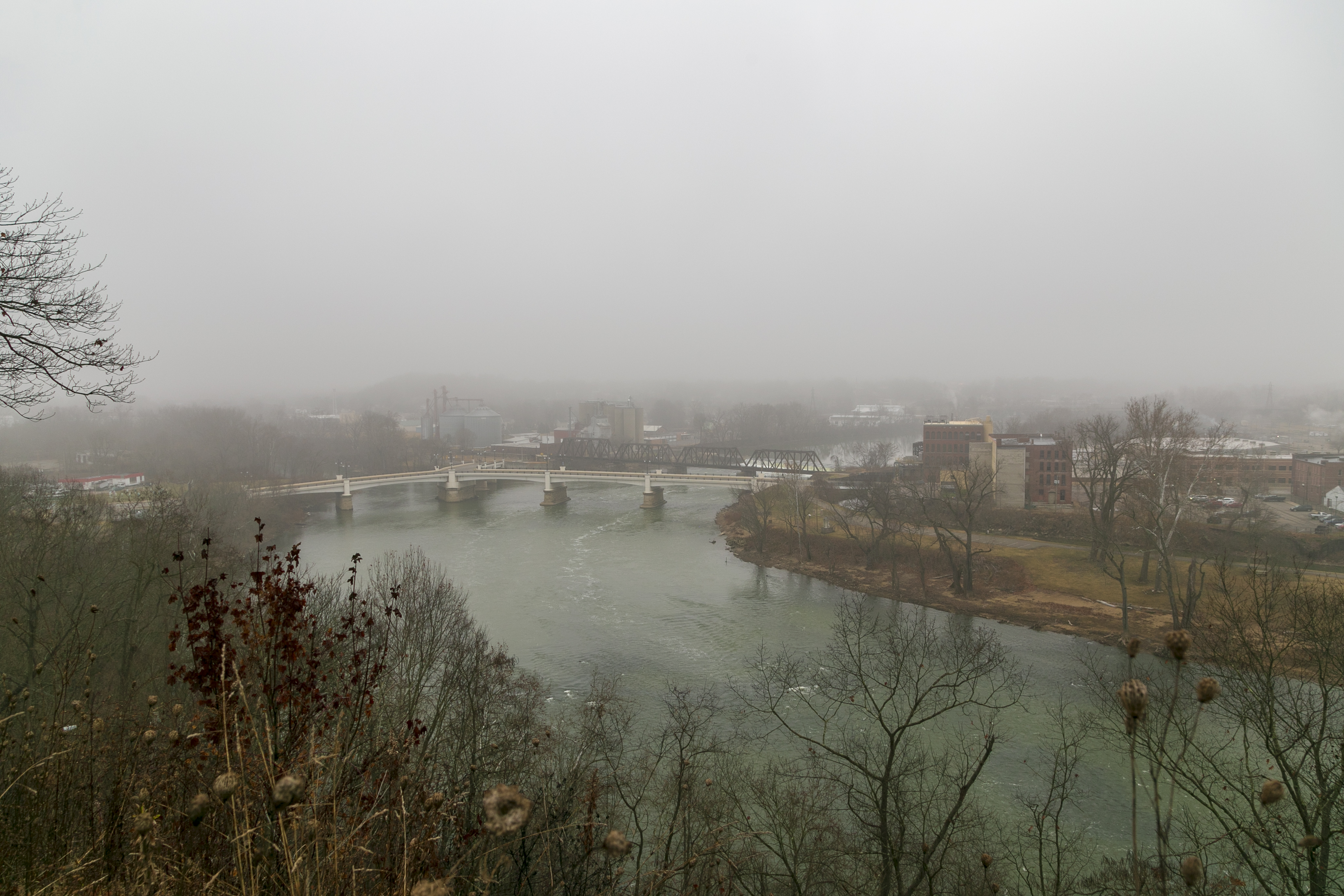
Y Bridge and Muskingum River — Zanesville, Ohio
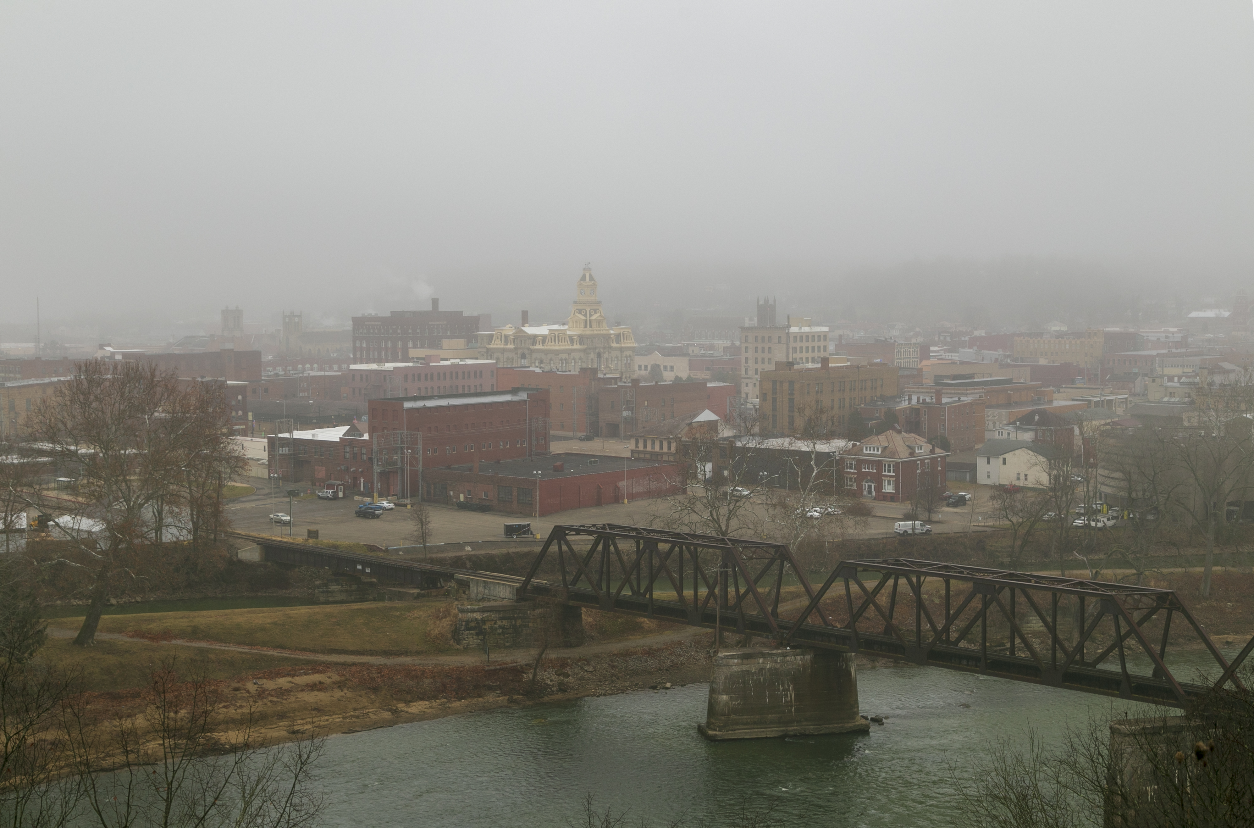
Zanesville, Ohio

Reflections: After the storm, Rainbow in the Rear View #rainbowloom #roadtrips #amazingshotz_ #lgg4 #mobilephotography

Bridge Openings

Zanesville, OH

Old mill viewed from a train

Y Bridge - Zanesville, Ohio

View of downtown Zanesville

Muskingum County Courthouse, Front View

-Side view of the Y-Bridge, Zanesville, Ohio
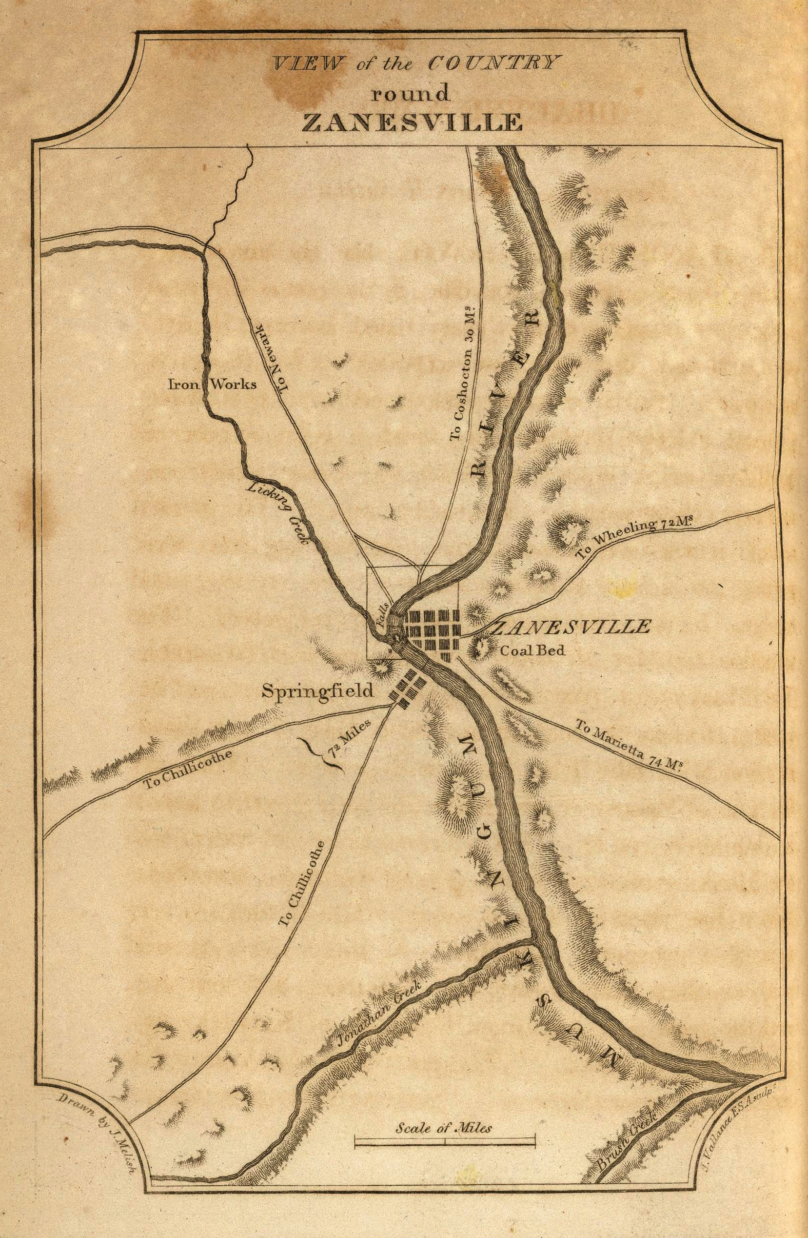
View of the Country round Zanesville

Lorena Sternwheeler upriver

View of the Country round Zanesville
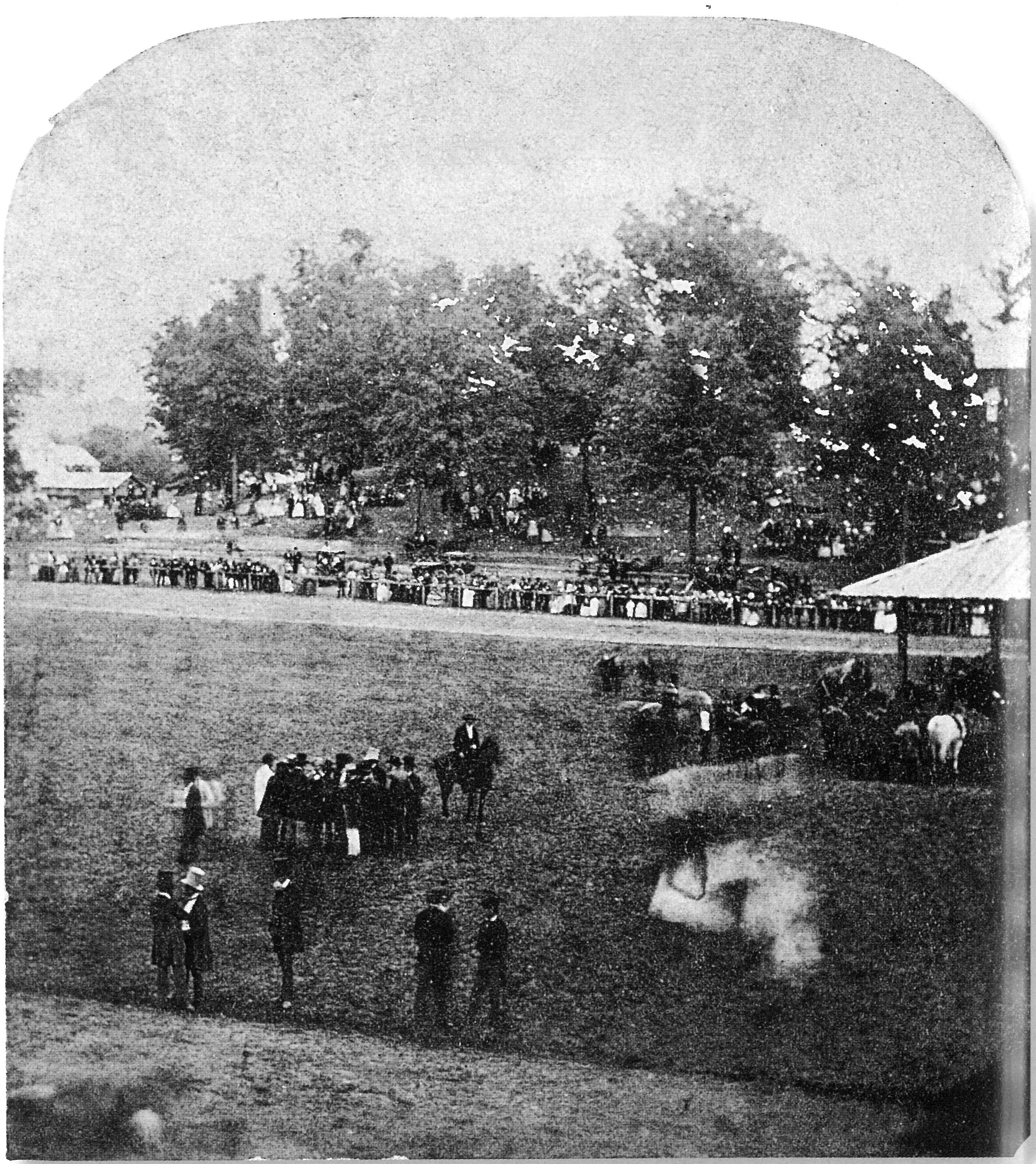
View from the Grandstand, Ohio State Fair

Jacks Hollow Covered Bridge, cross creek view, Perry County, Ohio

360 Panorama Shot Alan Cottrill Studio and Gallery - Zanesville

Jacks Hollow Covered Bridge, view from bridge, Perry County, Ohio

Jacks Hollow Covered Bridge, truss view, Perry County, Ohio

Muskingum River

Henslow's Sparrow

There are thirteen stripes at the left side of the flag, but only nine at the right.

Karen atop Seip Mound

The beat of her heart moves an ocean in me.

Zanesville OH 039

Zanesville OH 031

06 Nov. 2011. Near Zanesville, OH. Brown Fields, Exit 160 off I-70.

06 Nov. 2011. Near Zanesville, OH. Brown Fields, Exit 160 off I-70.

Ohio Central Railroad

Railroad Bridge, Zanesville, OH

Where Rivers Meet

Y Bridge, Zanesville, OH

Bridge at Zanesville, Ohio

Ohio ~ Zanesville

Y-bridge

Prairie Warbler CY9C1416

Muskingum River

Henslow's Sparrow CY9C1135
Topographic Map of Athena Ln, Zanesville, OH, USA
Find elevation by address:

Places near Athena Ln, Zanesville, OH, USA:
940 Schlaegel Dr
North Zanesville
Dresden Rd, Zanesville, OH, USA
Licking Rd, Zanesville, OH, USA
Zane St, Zanesville, OH, USA
North 3rd Street
Zanesville
1700 State St
12 US-40, Zanesville, OH, USA
730 Fountain Square
Marjorie And Butch's School Of Dance Llc (studio 51)
800 Harvey St
1072 Harvey St
6125 Southview Dr
1308 Coopermill Rd
Greenlawn Estates
Muskingum Township
Pleasant Grove
Muskingum County
Washington Township
Recent Searches:
- Elevation of 10370, West 107th Circle, Westminster, Jefferson County, Colorado, 80021, USA
- Elevation of 611, Roman Road, Old Ford, Bow, London, England, E3 2RW, United Kingdom
- Elevation of 116, Beartown Road, Underhill, Chittenden County, Vermont, 05489, USA
- Elevation of Window Rock, Colfax County, New Mexico, 87714, USA
- Elevation of 4807, Rosecroft Street, Kempsville Gardens, Virginia Beach, Virginia, 23464, USA
- Elevation map of Matawinie, Quebec, Canada
- Elevation of Sainte-Émélie-de-l'Énergie, Matawinie, Quebec, Canada
- Elevation of Rue du Pont, Sainte-Émélie-de-l'Énergie, Matawinie, Quebec, J0K2K0, Canada
- Elevation of 8, Rue de Bécancour, Blainville, Thérèse-De Blainville, Quebec, J7B1N2, Canada
- Elevation of Wilmot Court North, 163, University Avenue West, Northdale, Waterloo, Region of Waterloo, Ontario, N2L6B6, Canada
- Elevation map of Panamá Province, Panama
- Elevation of Balboa, Panamá Province, Panama
- Elevation of San Miguel, Balboa, Panamá Province, Panama
- Elevation of Isla Gibraleón, San Miguel, Balboa, Panamá Province, Panama
- Elevation of 4655, Krischke Road, Schulenburg, Fayette County, Texas, 78956, USA
- Elevation of Carnegie Avenue, Downtown Cleveland, Cleveland, Cuyahoga County, Ohio, 44115, USA
- Elevation of Walhonding, Coshocton County, Ohio, USA
- Elevation of Clifton Down, Clifton, Bristol, City of Bristol, England, BS8 3HU, United Kingdom
- Elevation map of Auvergne-Rhône-Alpes, France
- Elevation map of Upper Savoy, Auvergne-Rhône-Alpes, France