Elevation of Flint Ridge Rd, Hopewell, OH, USA
Location: United States > Ohio > Muskingum County > Hopewell Township > Hopewell >
Longitude: -82.185033
Latitude: 39.9879653
Elevation: 320m / 1050feet
Barometric Pressure: 98KPa
Elevation Map:
Satellite Map:
Related Photos:

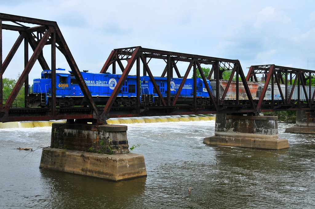
Conrail's Ghost

Zanesville Overview

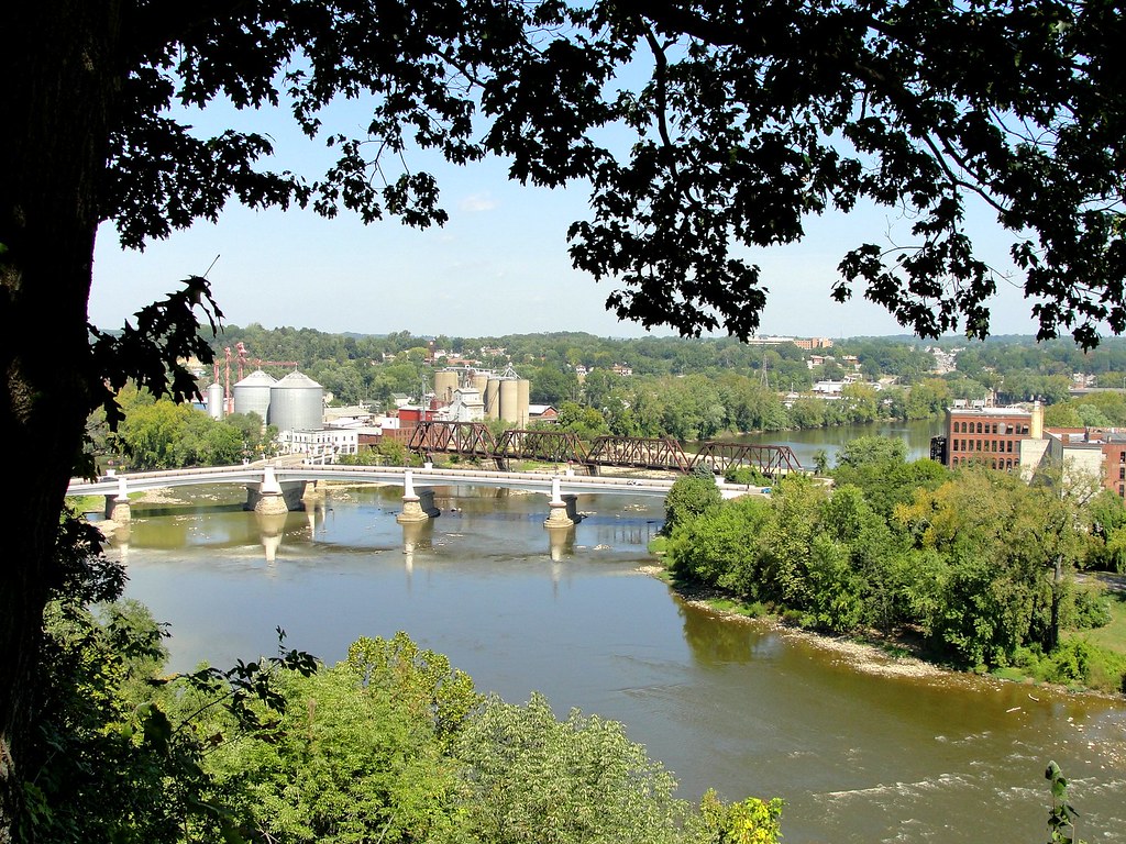
Bridge Openings
Over the river comes the Super 7s
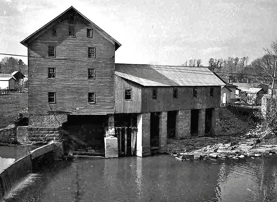
Old mill viewed from a train
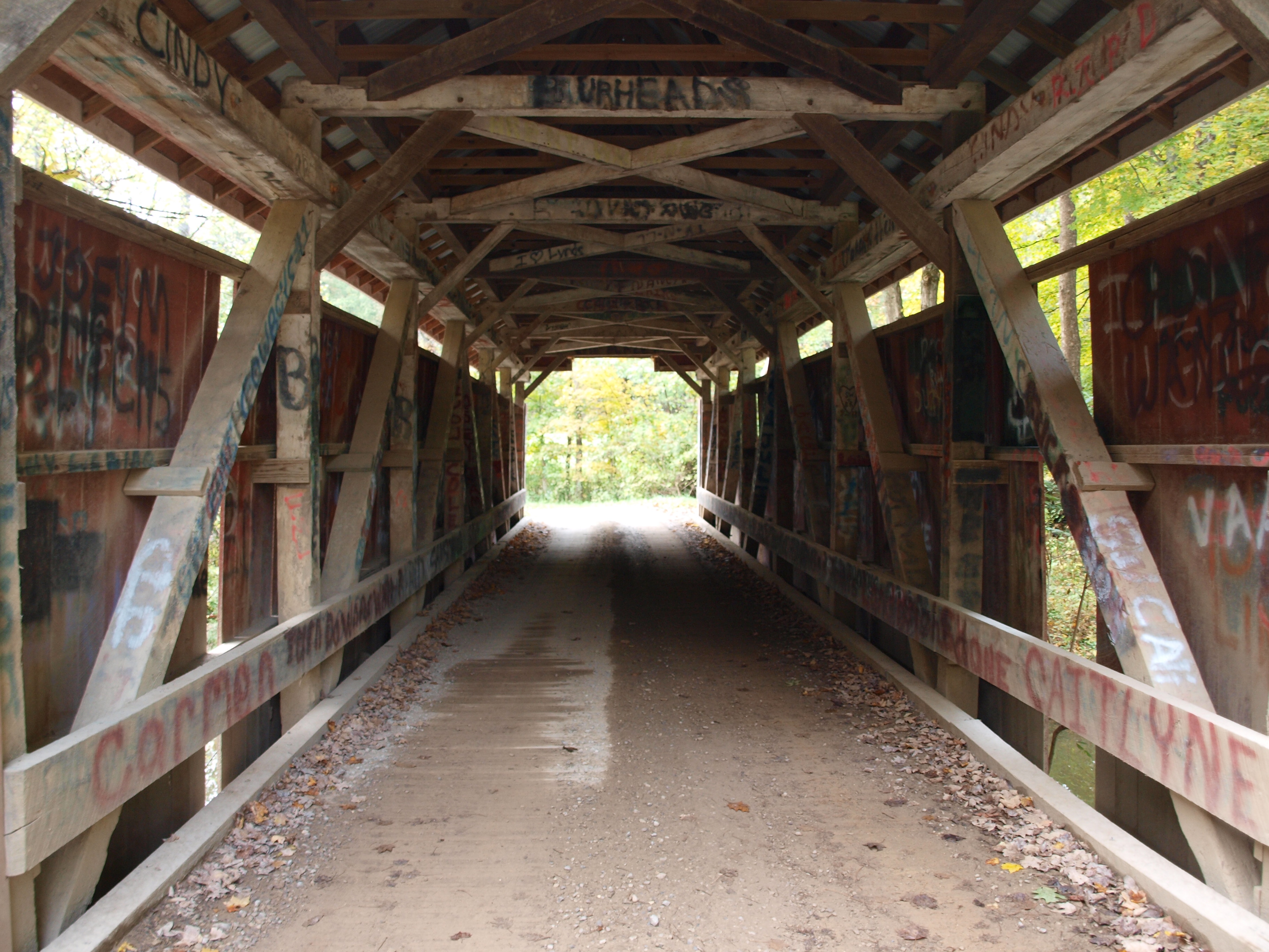
Jacks Hollow Covered Bridge, barrel view, Perry County, Ohio
Jacks Hollow Covered Bridge, view from bridge, Perry County, Ohio
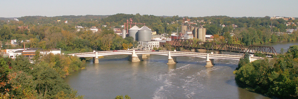
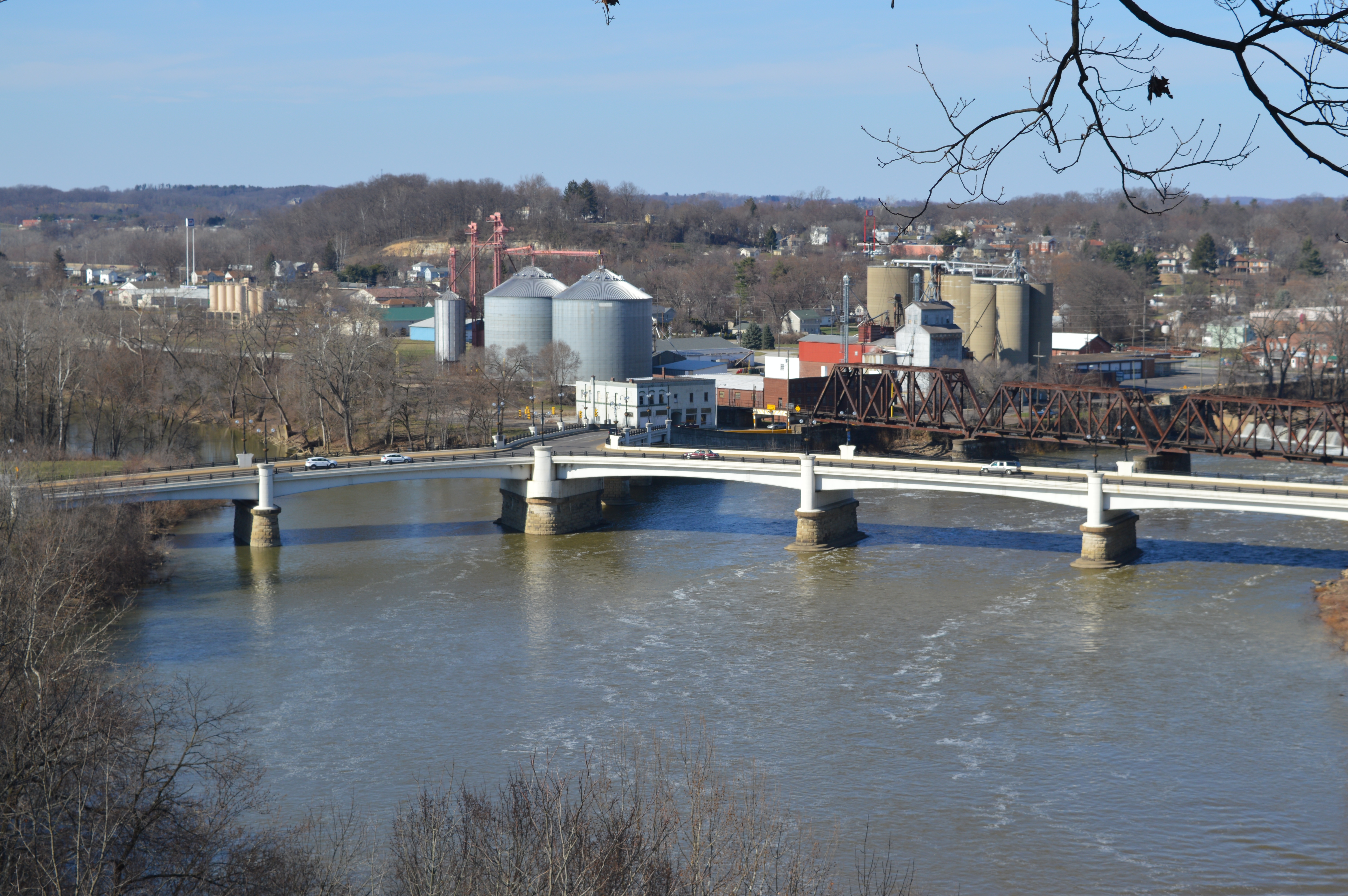
Y Bridge - Zanesville, Ohio

View from The Road

Muskingum County Courthouse, Front View

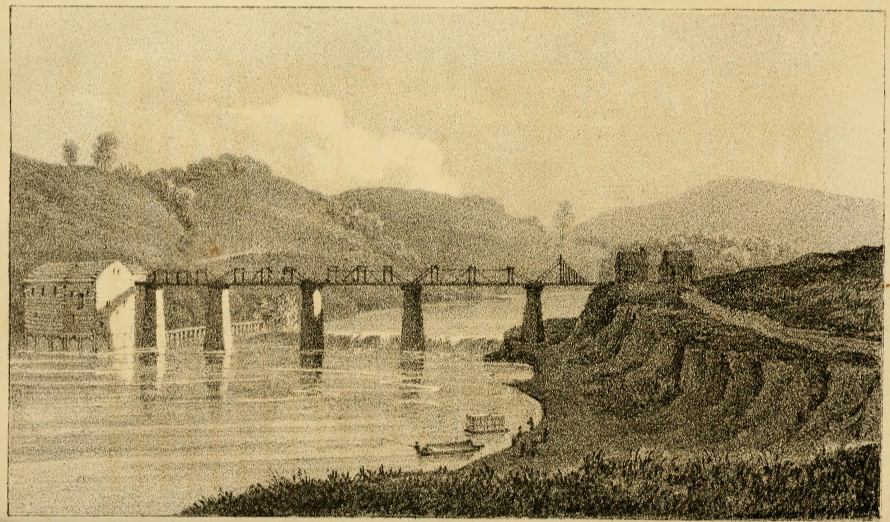
View on the Muskingum near Zanesville, Ohio

View of downtown Zanesville
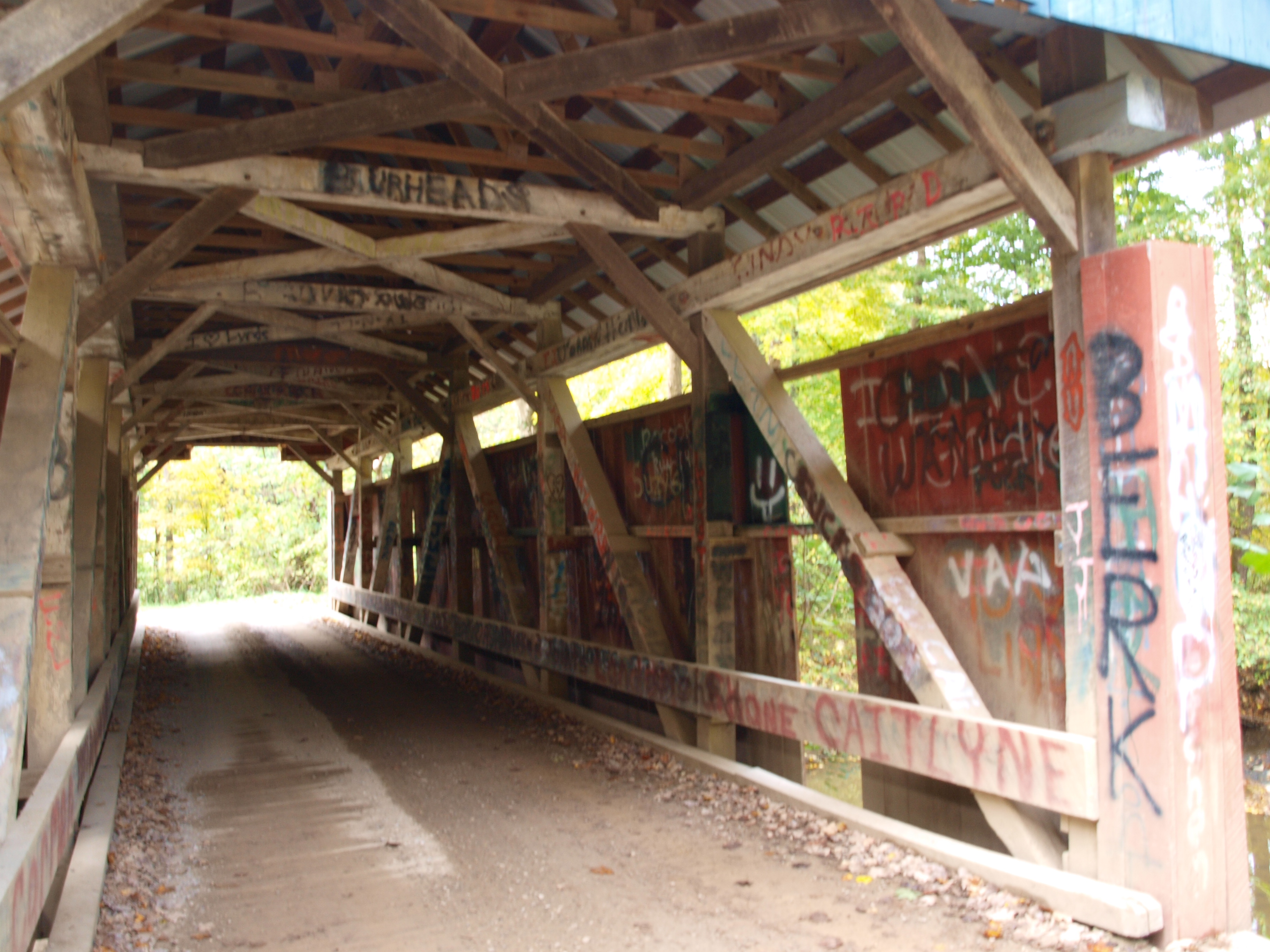
Jacks Hollow Covered Bridge, truss view, Perry County, Ohio

-Side view of the Y-Bridge, Zanesville, Ohio
Zanesville, OH

Admiring the View
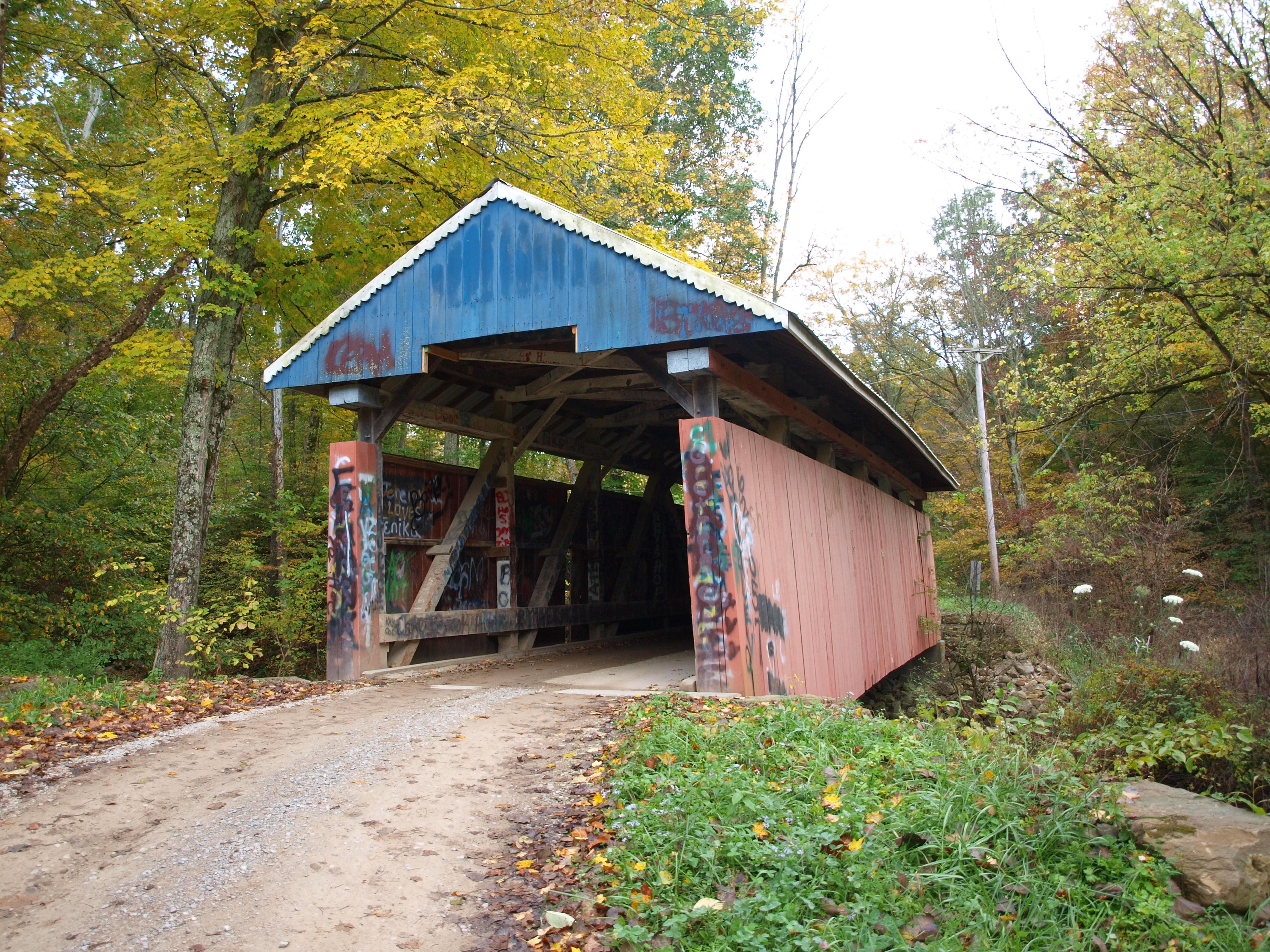
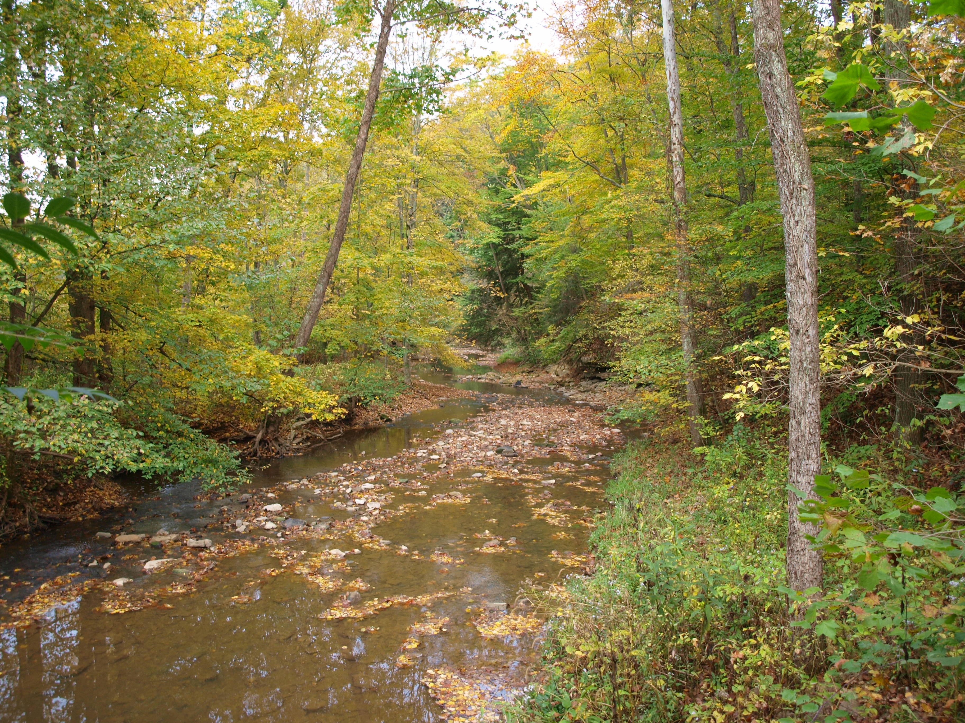
Jacks Hollow Covered Bridge, cross creek view, Perry County, Ohio
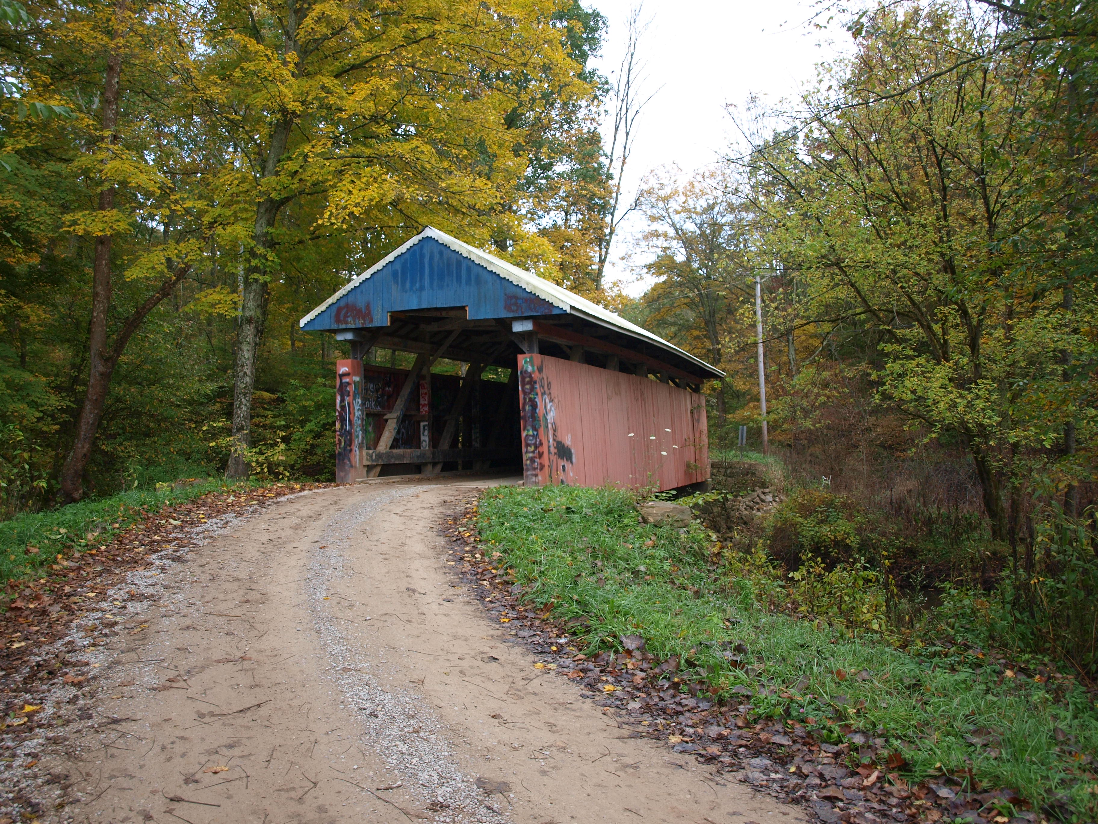
Jacks Hollow Covered Bridge, cross creek view, Perry County, Ohio (2)

View of Muskingum County Courthouse from the Landing Park on the Muskingum River in Zanesville, OH 005

Reflections: After the storm, Rainbow in the Rear View #rainbowloom #roadtrips #amazingshotz_ #lgg4 #mobilephotography

Licking River

Blackhand Nature Preserve Trail

Blackhand Gorge

Amish Country, Ohio

Hay Fever
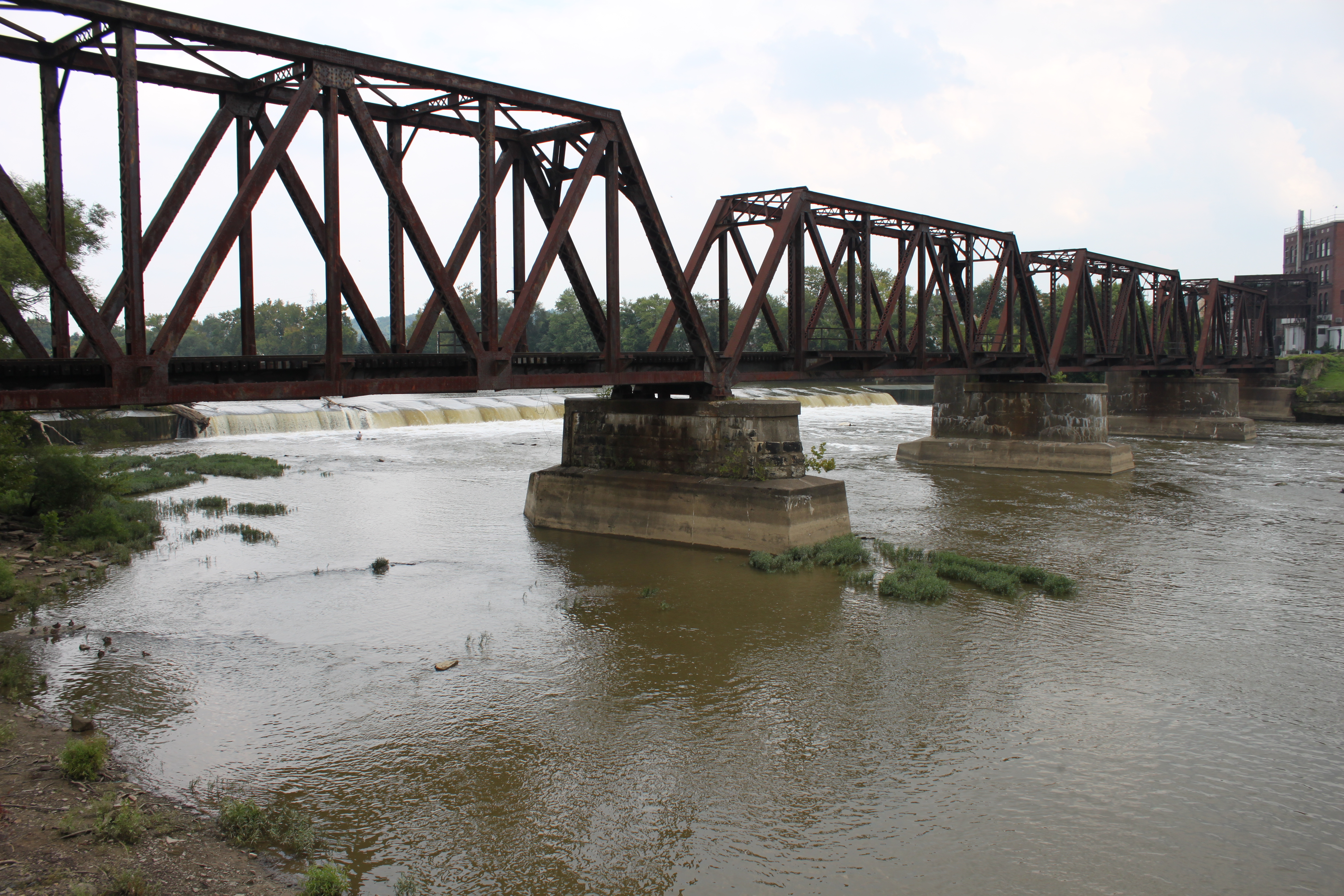
Railroad Bridge, Zanesville, OH

The beat of her heart moves an ocean in me.

_MG_0941.jpg

Above and Below

29CW1124.jpg
Bridge at Zanesville, Ohio

.

02 Dec. 2011. Rural Ohio, West of Zanesville. Late Day Light Off I-70 at Exit 142.
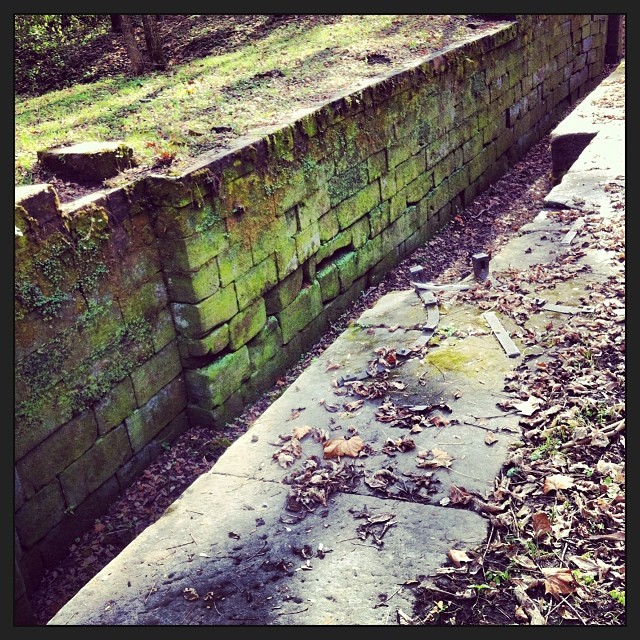
Part of Ohio-Erie Canal

Amish Country, Ohio
Ohio ~ Zanesville

18 tee box

Zanesville OH 106
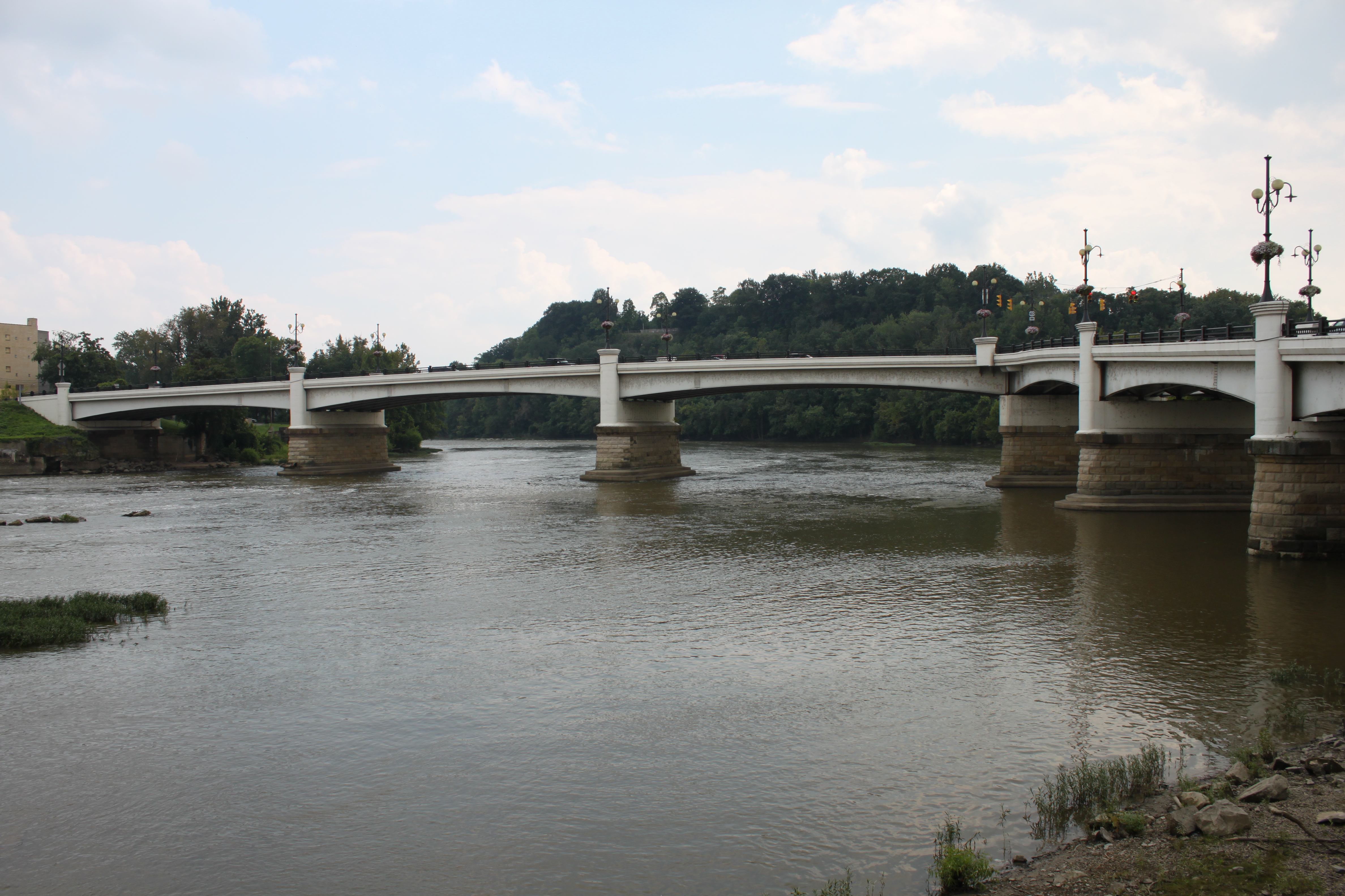
Y Bridge, Zanesville, OH
Topographic Map of Flint Ridge Rd, Hopewell, OH, USA
Find elevation by address:

Places near Flint Ridge Rd, Hopewell, OH, USA:
9775 Hidden Springs Rd
Hopewell
Gratiot
Main St, Zanesville, OH, USA
5603 Mulberry Rd
Hopewell Township
Hopewell Township
7751 Mulberry Rd
16295 Flint Ridge Rd
Coopermill Rd, Mt Perry, OH, USA
16858 Texas Rd Se
Toboso
Brownsville
Meadow Dr, Nashport, OH, USA
Hanover Township
4208 Rock Haven Rd Ne
Waste Management - Suburban Security Landfill
Coopermill Rd, Zanesville, OH, USA
Muskingum County Speedway Inc
6125 Southview Dr
Recent Searches:
- Elevation of Corso Fratelli Cairoli, 35, Macerata MC, Italy
- Elevation of Tallevast Rd, Sarasota, FL, USA
- Elevation of 4th St E, Sonoma, CA, USA
- Elevation of Black Hollow Rd, Pennsdale, PA, USA
- Elevation of Oakland Ave, Williamsport, PA, USA
- Elevation of Pedrógão Grande, Portugal
- Elevation of Klee Dr, Martinsburg, WV, USA
- Elevation of Via Roma, Pieranica CR, Italy
- Elevation of Tavkvetili Mountain, Georgia
- Elevation of Hartfords Bluff Cir, Mt Pleasant, SC, USA