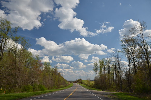
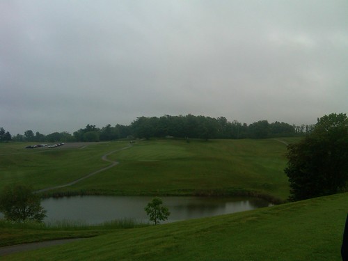
Elevation of Hidden Springs Rd, Hopewell, OH, USA
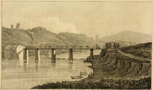
Location: United States > Ohio > Muskingum County > Hopewell Township > Hopewell >

Longitude: -82.177914

Latitude: 40.004486

Elevation: 328m / 1076feet

Barometric Pressure: 97KPa

Elevation Map:

elevation map of Hidden Springs Rd, Hopewell, OH, USA
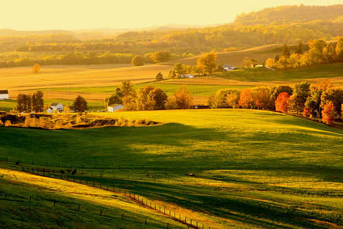
Satellite Map:

Satellite map of Hidden Springs Rd, Hopewell, OH, USA

Related Photos:

ohio unitedstates zanesville canonef24105mmf4lis
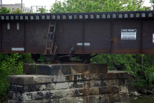
Bridge Openings
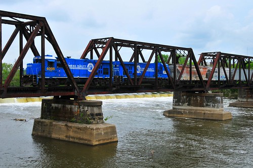
railroad blue ohio train big rail transportation conrail
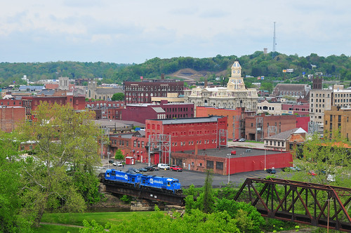
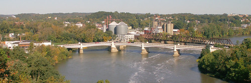
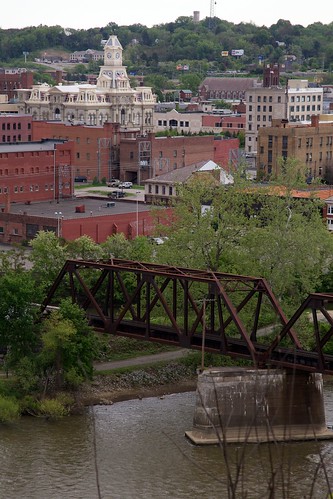
Zanesville Overview
railroad blue ohio train big rail transportation conrail
Conrail's Ghost
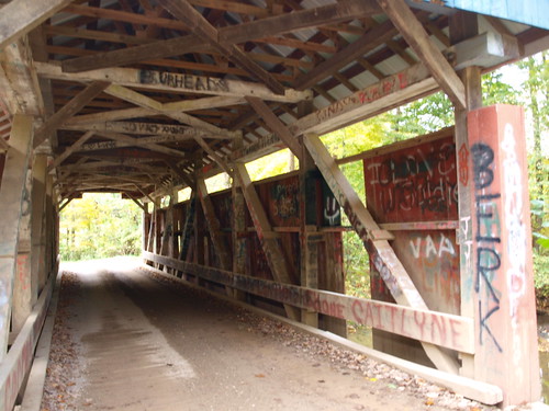
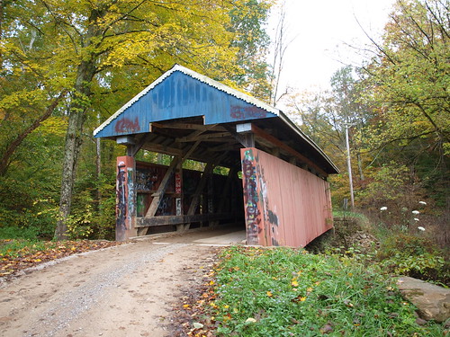
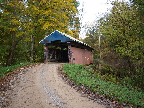
Jacks Hollow Covered Bridge, barrel view, Perry County, Ohio
Jacks Hollow Covered Bridge, view from bridge, Perry County, Ohio
ohio minolta fave konica zanesville dimage muskingum slickr z6
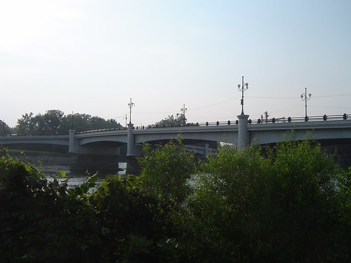
Y Bridge - Zanesville, Ohio
square squareformat iphoneography instagramapp uploaded:by=instagram
Reflections: After the storm, Rainbow in the Rear View #rainbowloom #roadtrips #amazingshotz_ #lgg4 #mobilephotography
railroad blue ohio train big rail transportation conrail
Over the river comes the Super 7s
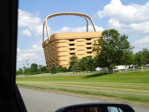
ohio roadtrip longaberger
View from The Road
ohio unitedstates zanesville canonef24105mmf4lis
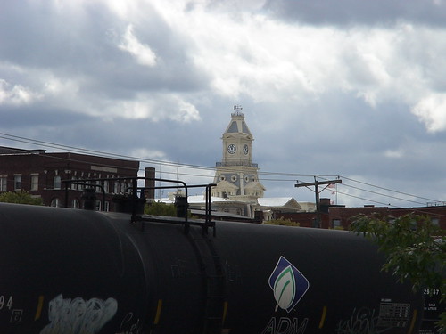
View of downtown Zanesville
Jacks Hollow Covered Bridge, truss view, Perry County, Ohio
bridge ohio oh zanesville ybridge
-Side view of the Y-Bridge, Zanesville, Ohio
ohio roadtrip longaberger
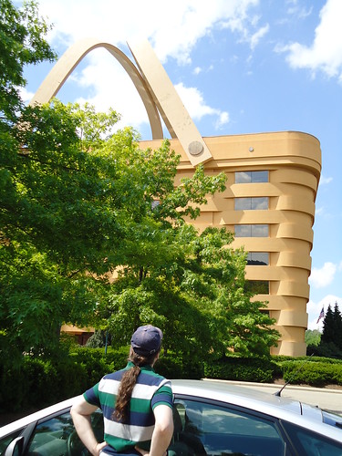
Admiring the View
Jacks Hollow Covered Bridge, cross creek view, Perry County, Ohio
Jacks Hollow Covered Bridge, cross creek view, Perry County, Ohio (2)
View of Muskingum County Courthouse from the Landing Park on the Muskingum River in Zanesville, OH 005
ohio railroadbridge zanesville muskingumriver
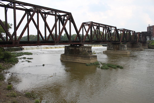
Railroad Bridge, Zanesville, OH
Toboso, Waterfall
ohio nature digital zeiss 35mm outdoors countryside farm sony country ridge heath newark fe flint a7 24x36
.
bridge ohio zanesville nationalroad ybridge muskingumriver
Y Bridge, Zanesville, OH
ohio nature blackhandgorge lickingcounty blackhandgorgestatenaturepreserve blackhandtrail
Blackhand Gorge
flintridgestatememorial uploaded:by=flickrmobile flickriosapp:filter=nofilter
Firm Foundation
ohio crosswalk zanesville crosswalkamerica griessel scottgriessel creatista
_MG_0941.jpg
square squareformat iphoneography instagramapp uploaded:by=instagram
The beat of her heart moves an ocean in me.
square squareformat amaro iphoneography instagramapp uploaded:by=instagram foursquare:venue=4cb9e0d6035d236ab7b8d64e
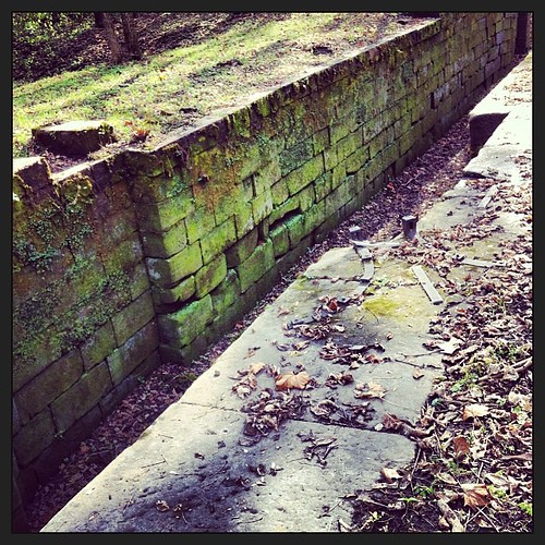
Part of Ohio-Erie Canal
travel ohio
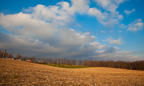
02 Dec. 2011. Rural Ohio, West of Zanesville. Late Day Light Off I-70 at Exit 142.
Above and Below
ohio crosswalk zanesville crosswalkamerica griessel scottgriessel creatista
29CW1124.jpg
Amish Country, Ohio
county ohio summer nature field digital zeiss 35mm farm sony ridge valley heath newark fe flint licking a7 24x36
.
bridge ohio river pike zanesville us40 muskingum nationalroad erjkprunczyk i70oh
Ohio ~ Zanesville
ohio oh zanesvilleoh
Zanesville OH 106
Hay Fever
18 tee box
ohio print zanesville 1820s muskingumcounty muskingumriver ohioartthrough1865
Bridge at Zanesville, Ohio
Amish Country, Ohio