Elevation of Whispering Pine Rd, Williamsville, VA, USA
Location: United States > Virginia > Bath County > Williamsville >
Longitude: -79.649019
Latitude: 38.1713329
Elevation: 718m / 2356feet
Barometric Pressure: 93KPa
Elevation Map:
Satellite Map:
Related Photos:
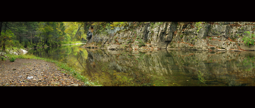
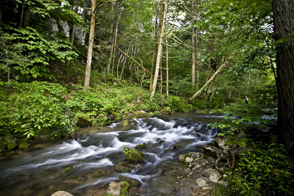
Bullpasture River Panorama
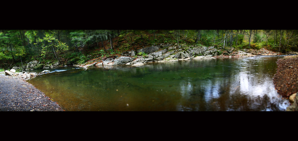
Bullpasture River Diorama Panorama
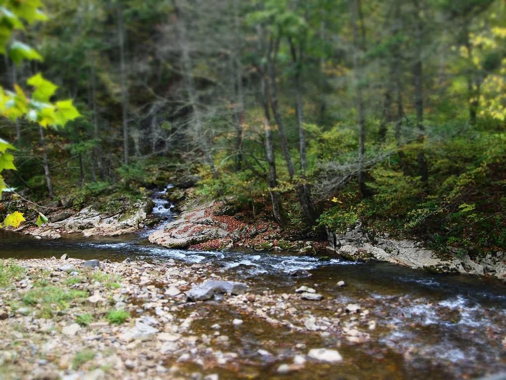
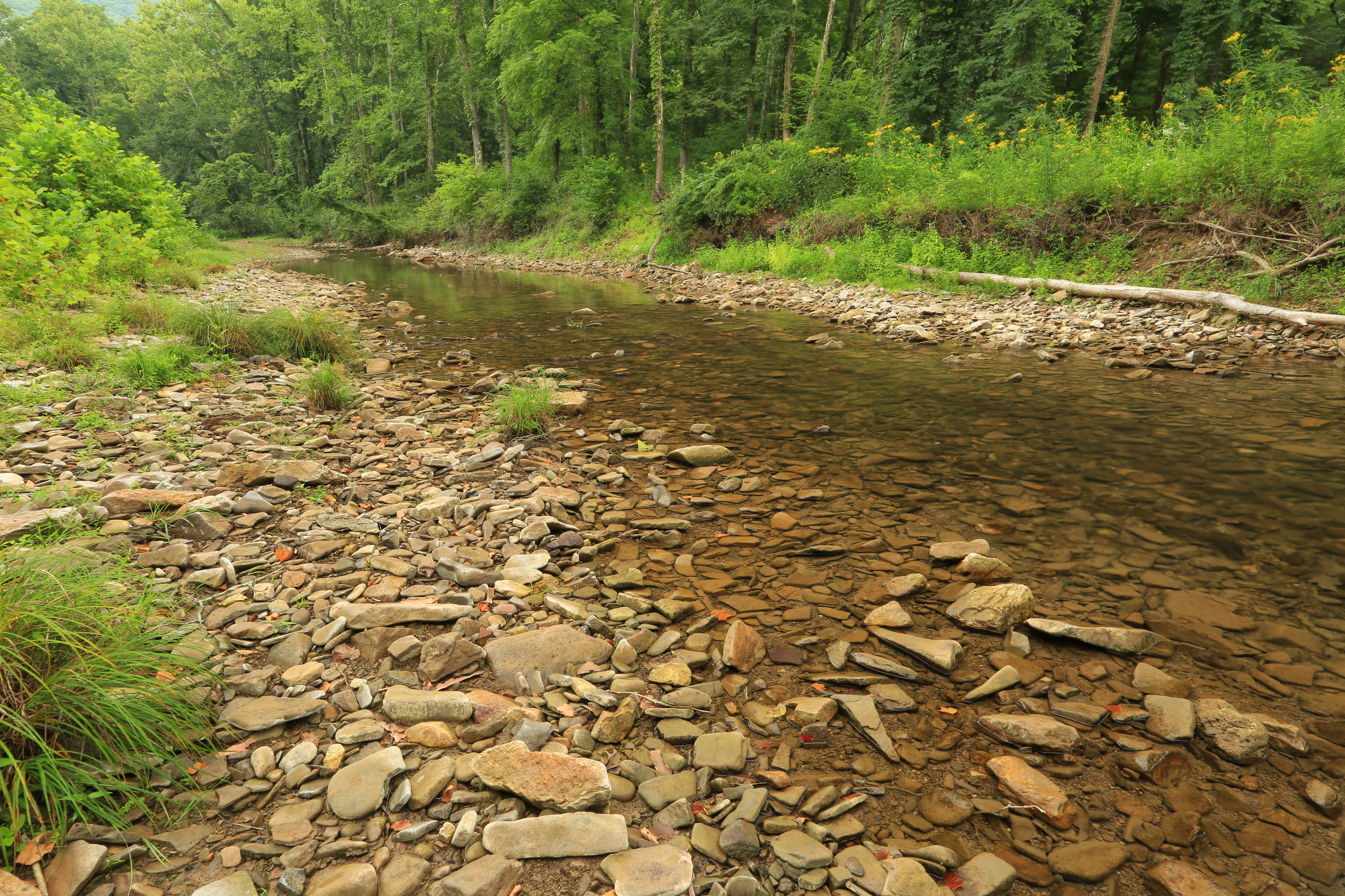
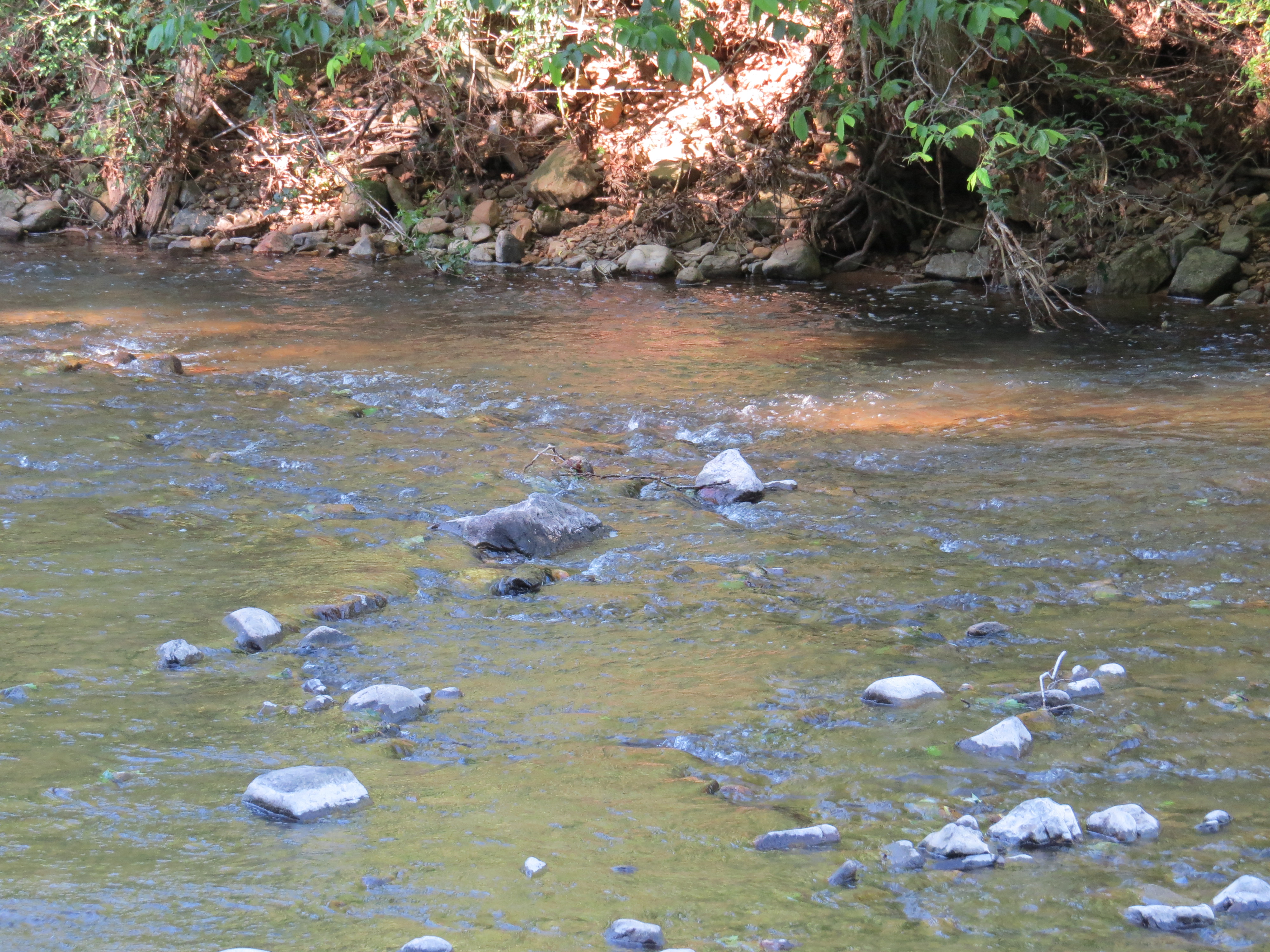
Bullpasture River
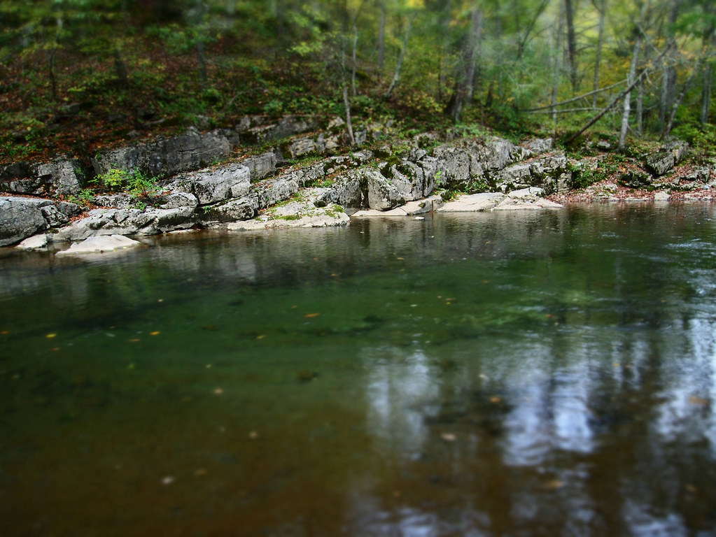
Bullpasture River
HM8G3969.jpg
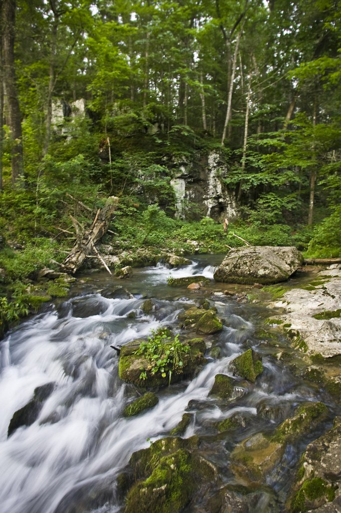
HM8G3961.jpg
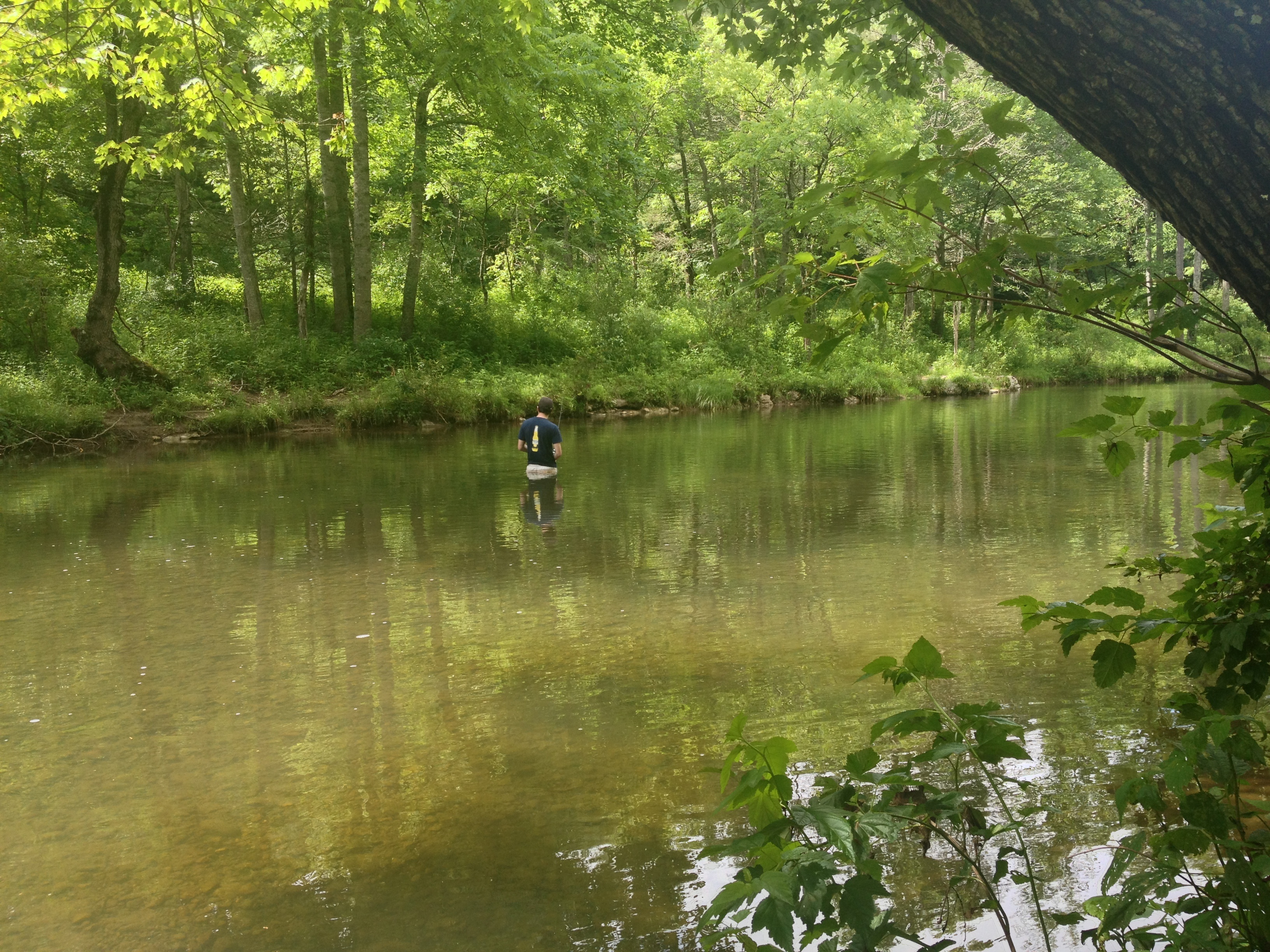
Severin fishing

Swimming/Fishing hole
Hidden Valley
Back Creek, upstream of Bath County Pumped Storage Station, Bath County, Virginia 3
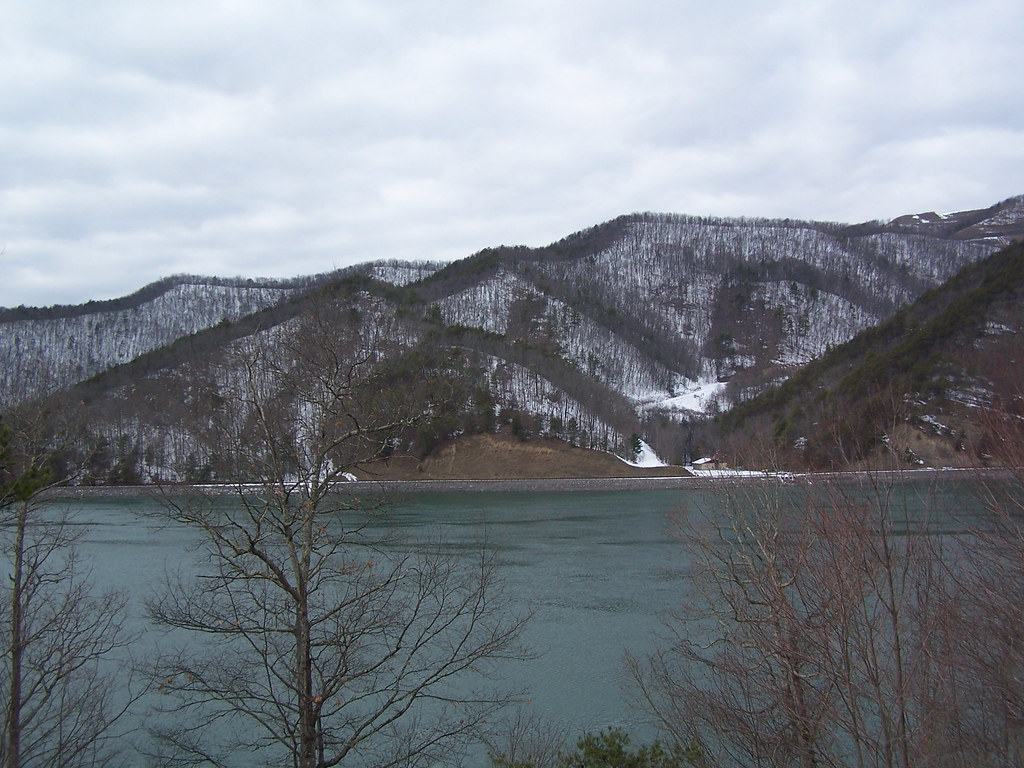
Bath County Pumped Storage Lower Reservoir
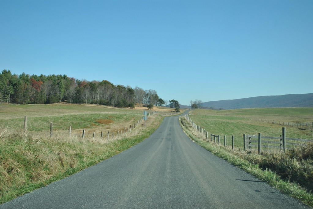
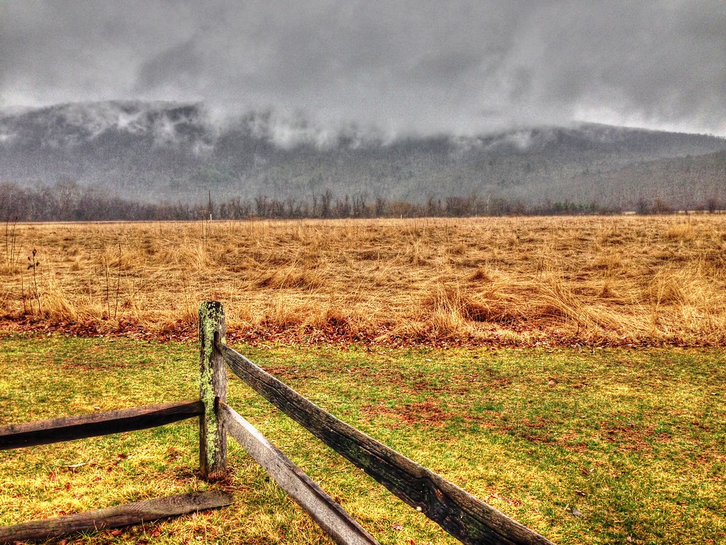
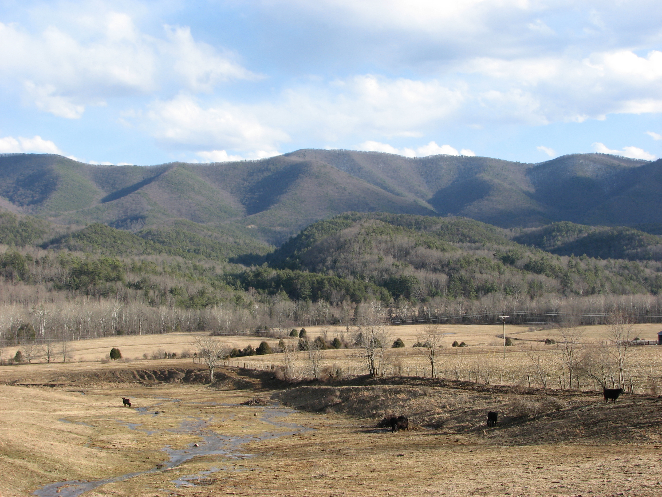
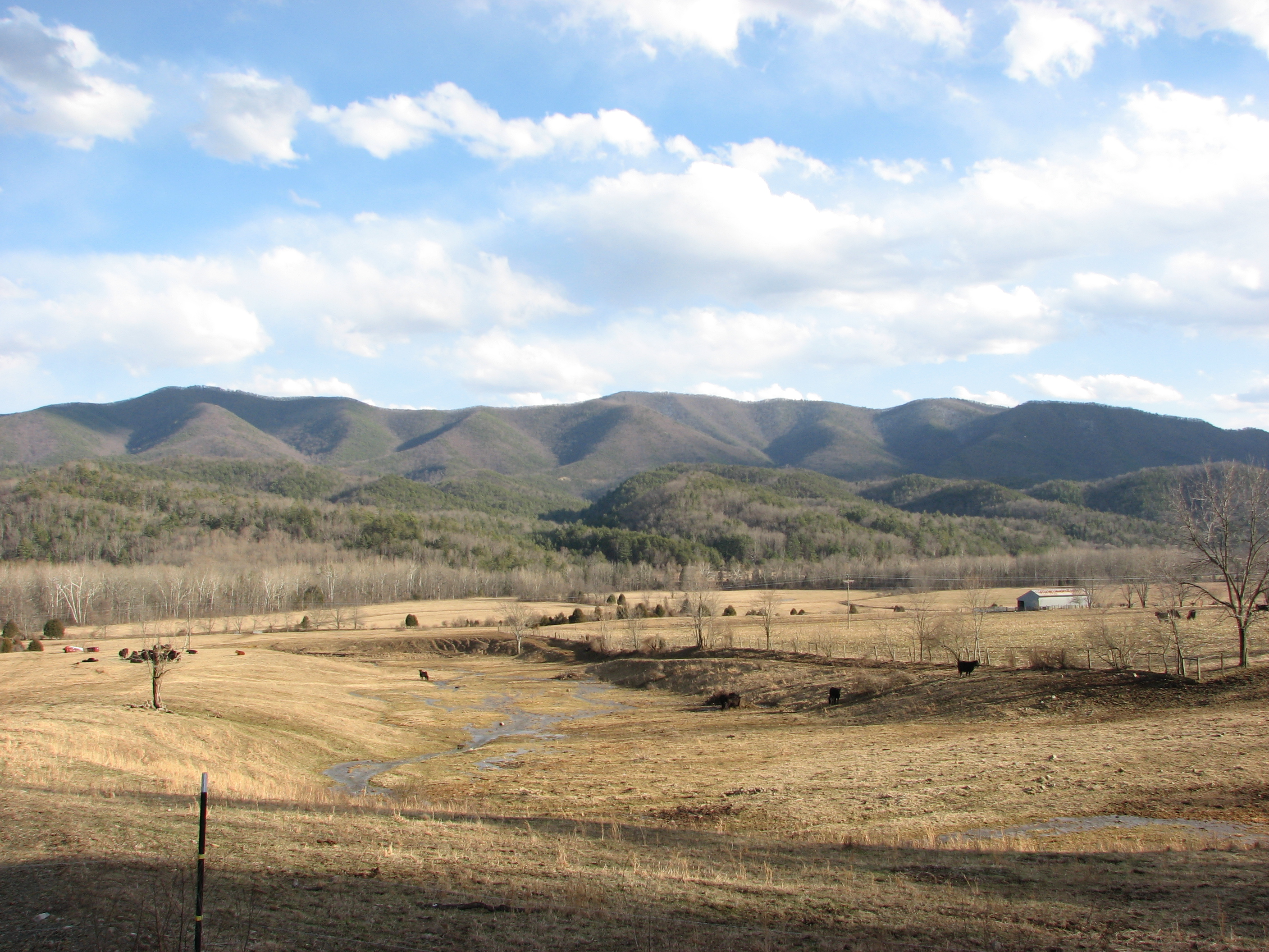
COUNTRY ROADS
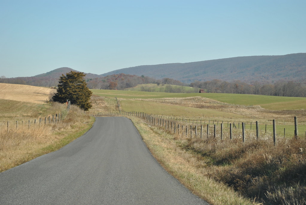
COUNTRY ROAD
Jackson River
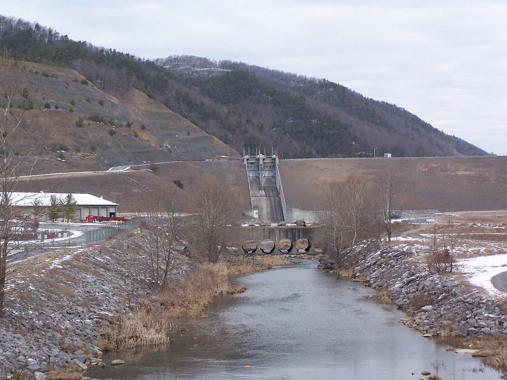
Lower Reservoir Dam
IMG_4820.JPG
IMG_4819.JPG
Hot Springs, VA road trip
Topographic Map of Whispering Pine Rd, Williamsville, VA, USA
Find elevation by address:

Places near Whispering Pine Rd, Williamsville, VA, USA:
Dry Run Rd, Williamsville, VA, USA
Burnsville
265 Bear Rock Ridge Rd
Williamsville
16338 Indian Draft Rd
Bath County
8422 Big Valley Rd
603 Old Plantation Way
Fort Lewis Lodge & Farm
Coursey Springs Fish Cultural Station
2700 Westminster Rd
337 Carpenters Ln
16337 Indian Draft Rd
Williamsville
3068 River Rd
600 Poor Farm Rd
9595 Bullpasture River Rd
4281 Ccc Rd
20857 Sam Snead Hwy
Deerfield Rd, Millboro, VA, USA
Recent Searches:
- Elevation of Congressional Dr, Stevensville, MD, USA
- Elevation of Bellview Rd, McLean, VA, USA
- Elevation of Stage Island Rd, Chatham, MA, USA
- Elevation of Shibuya Scramble Crossing, 21 Udagawacho, Shibuya City, Tokyo -, Japan
- Elevation of Jadagoniai, Kaunas District Municipality, Lithuania
- Elevation of Pagonija rock, Kranto 7-oji g. 8"N, Kaunas, Lithuania
- Elevation of Co Rd 87, Jamestown, CO, USA
- Elevation of Tenjo, Cundinamarca, Colombia
- Elevation of Côte-des-Neiges, Montreal, QC H4A 3J6, Canada
- Elevation of Bobcat Dr, Helena, MT, USA