Elevation of Deerfield Rd, Millboro, VA, USA
Location: United States > Virginia > Bath County > Williamsville >
Longitude: -79.564523
Latitude: 38.0942054
Elevation: 522m / 1713feet
Barometric Pressure: 95KPa
Elevation Map:
Satellite Map:
Related Photos:
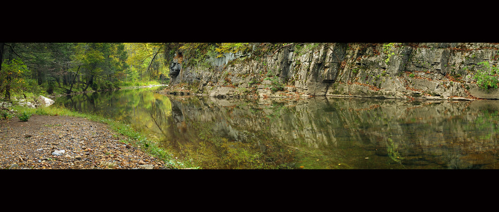
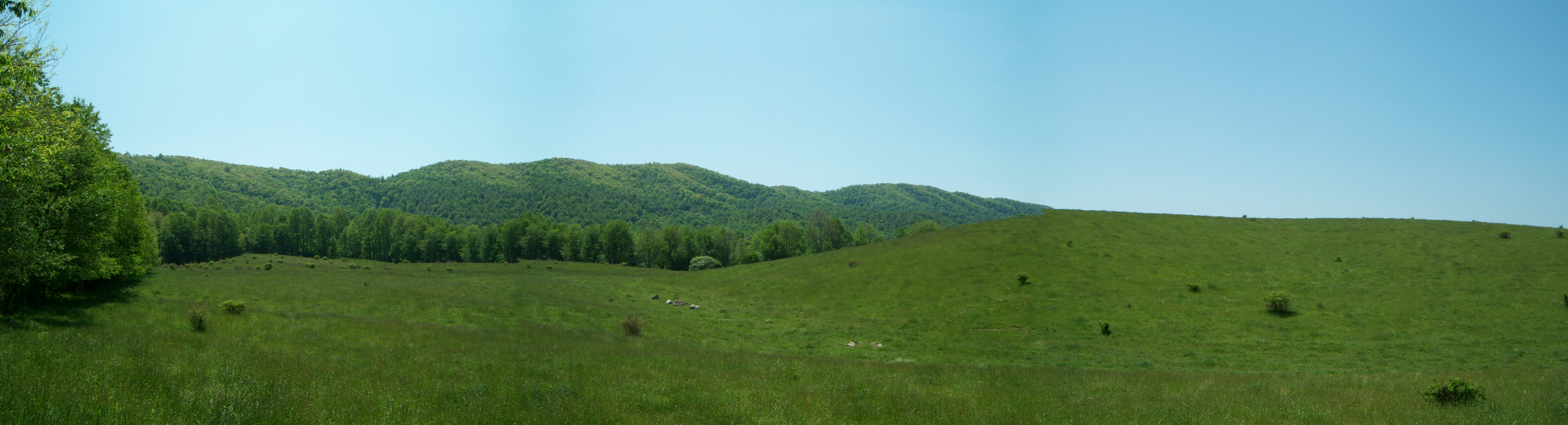
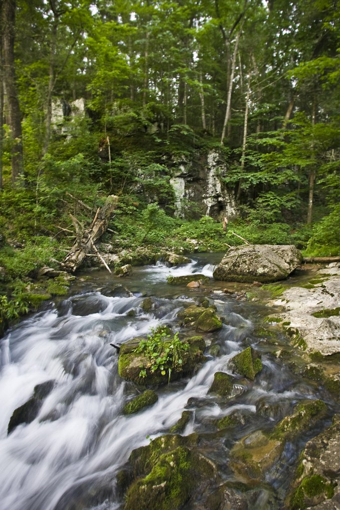
Bullpasture River Panorama
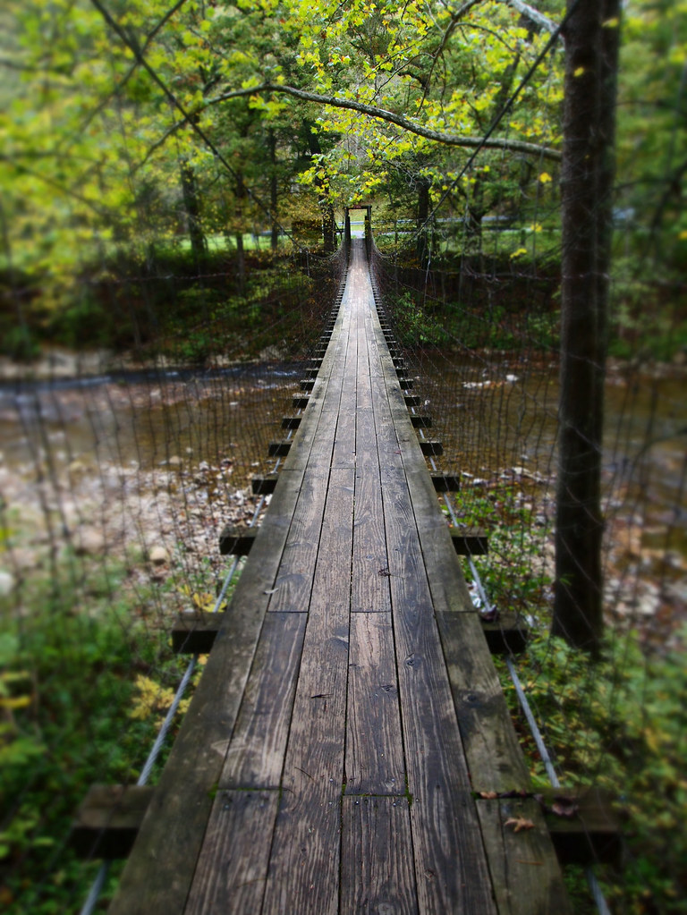
The Bullpasture River Gorge Footbridge
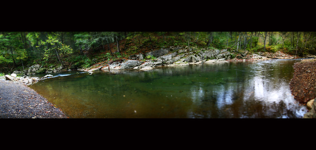
Bullpasture River Diorama Panorama
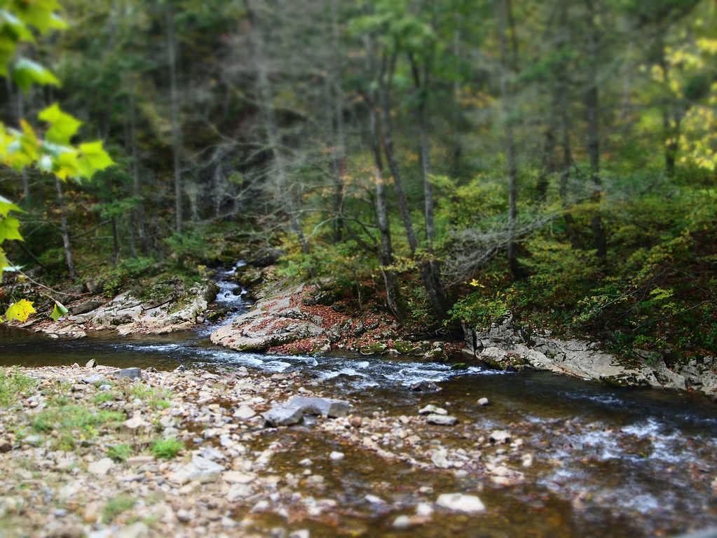
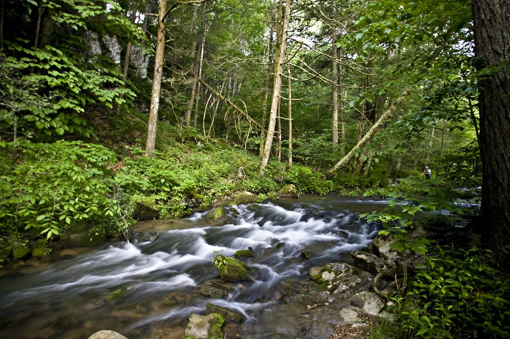
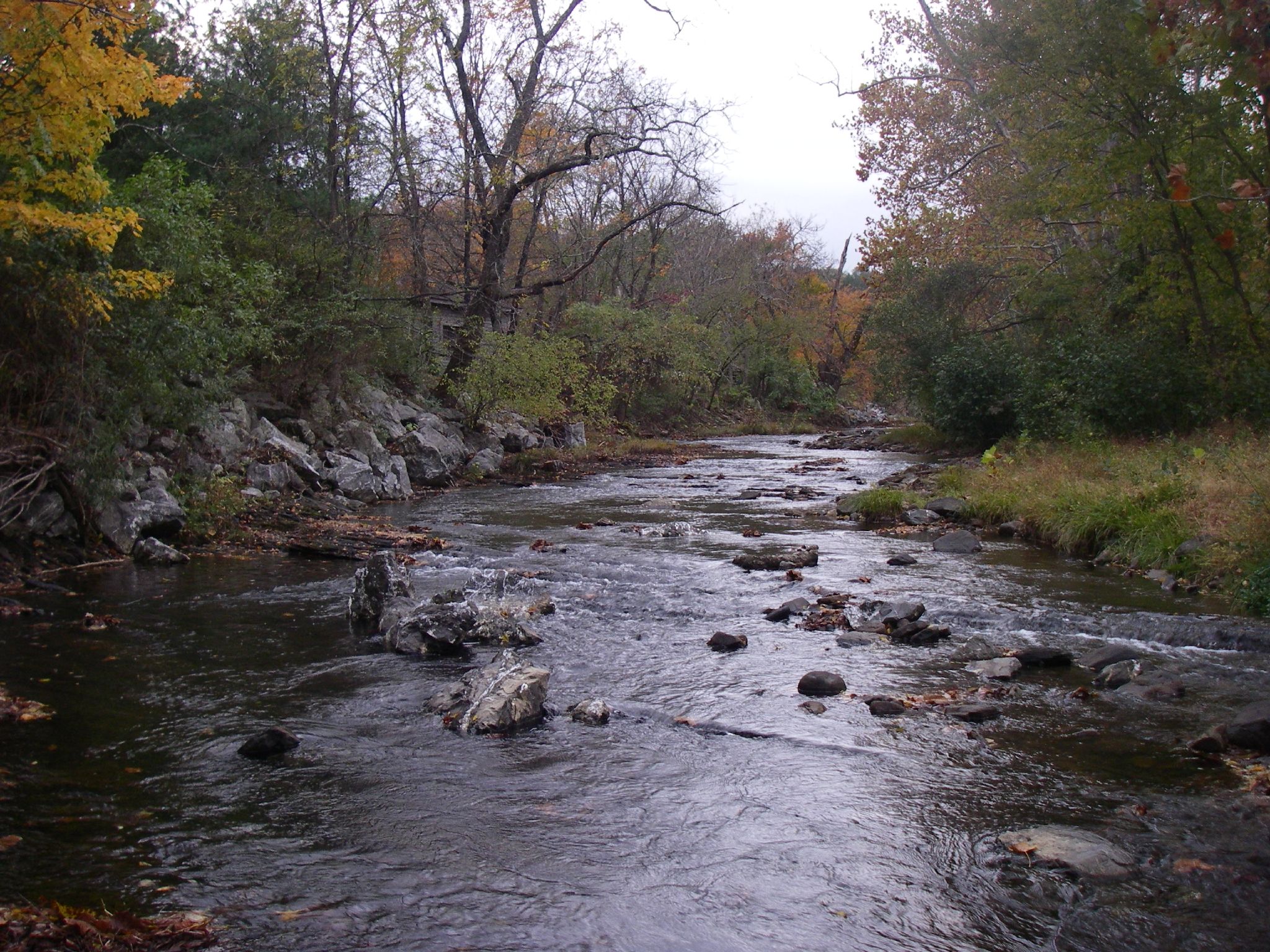
Bullpasture River
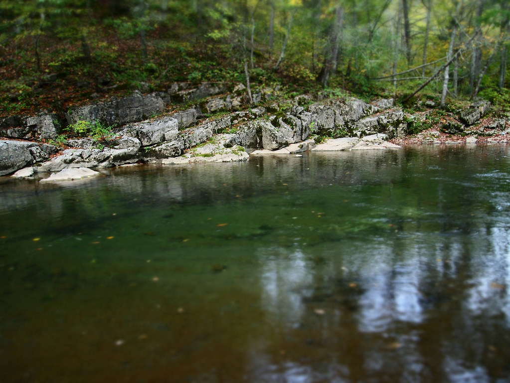
Bullpasture River
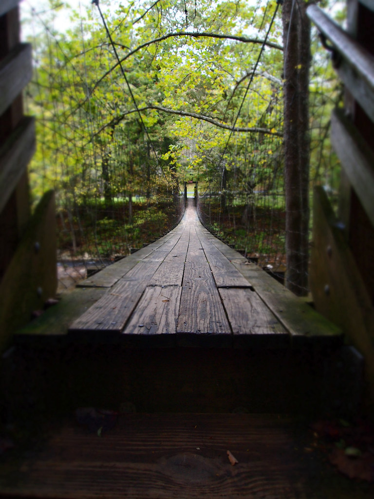
The Bullpasture River Gorge Footbridge

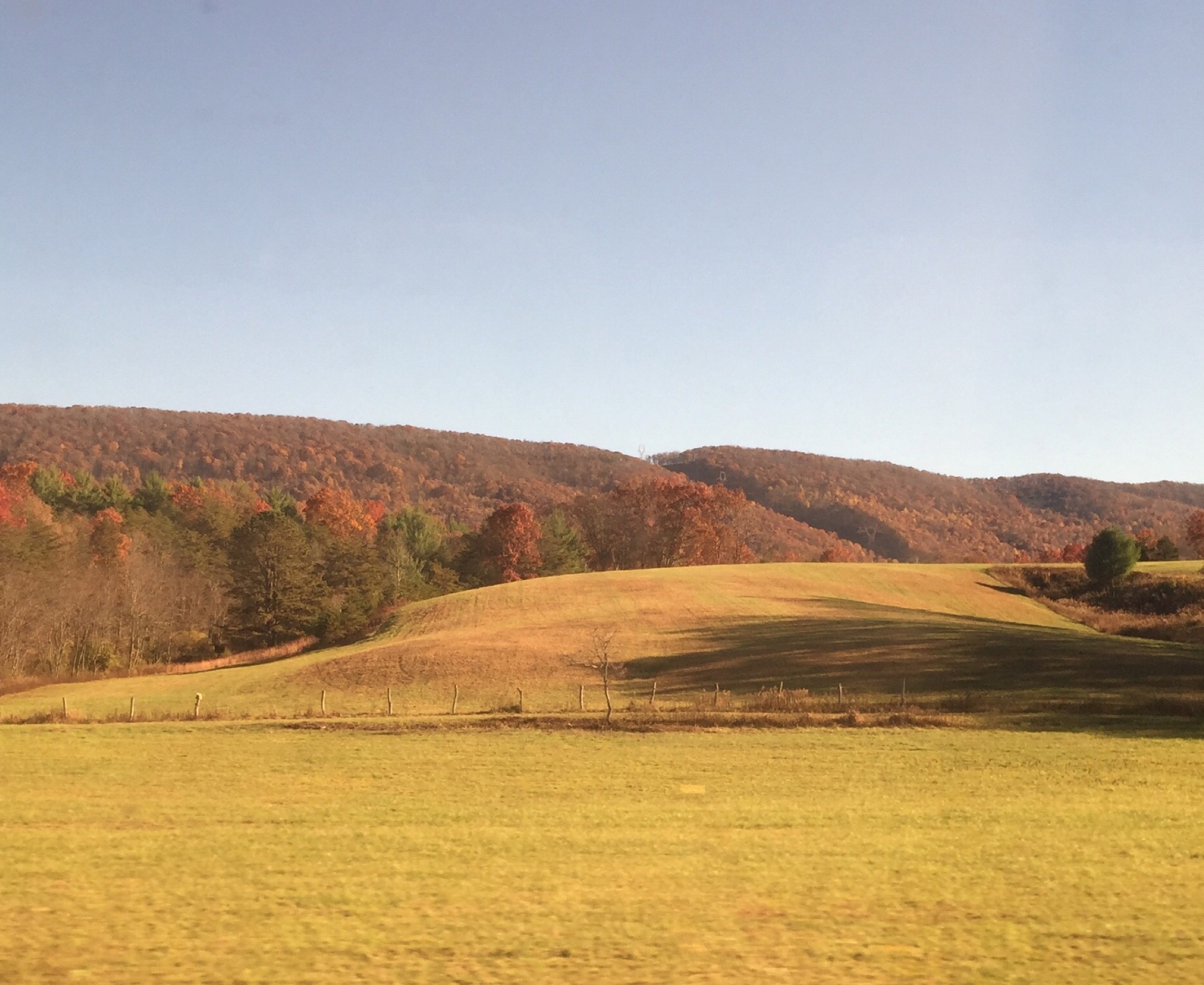
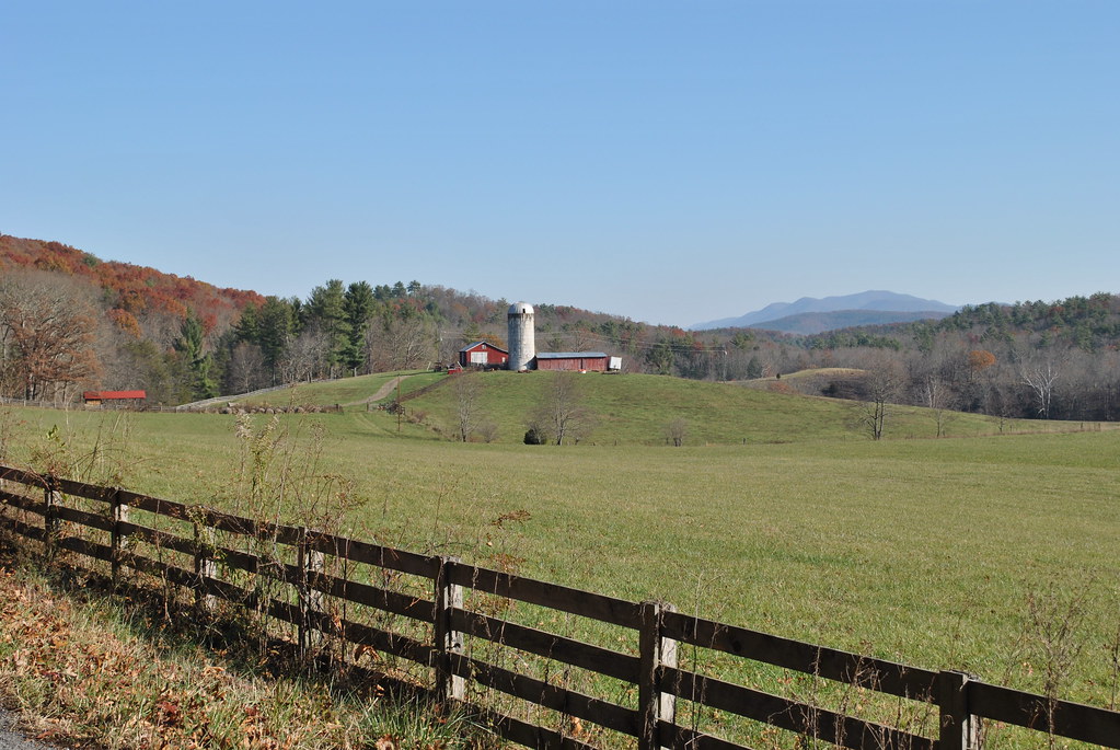
Our farm as viewed from the George Washington National Forest
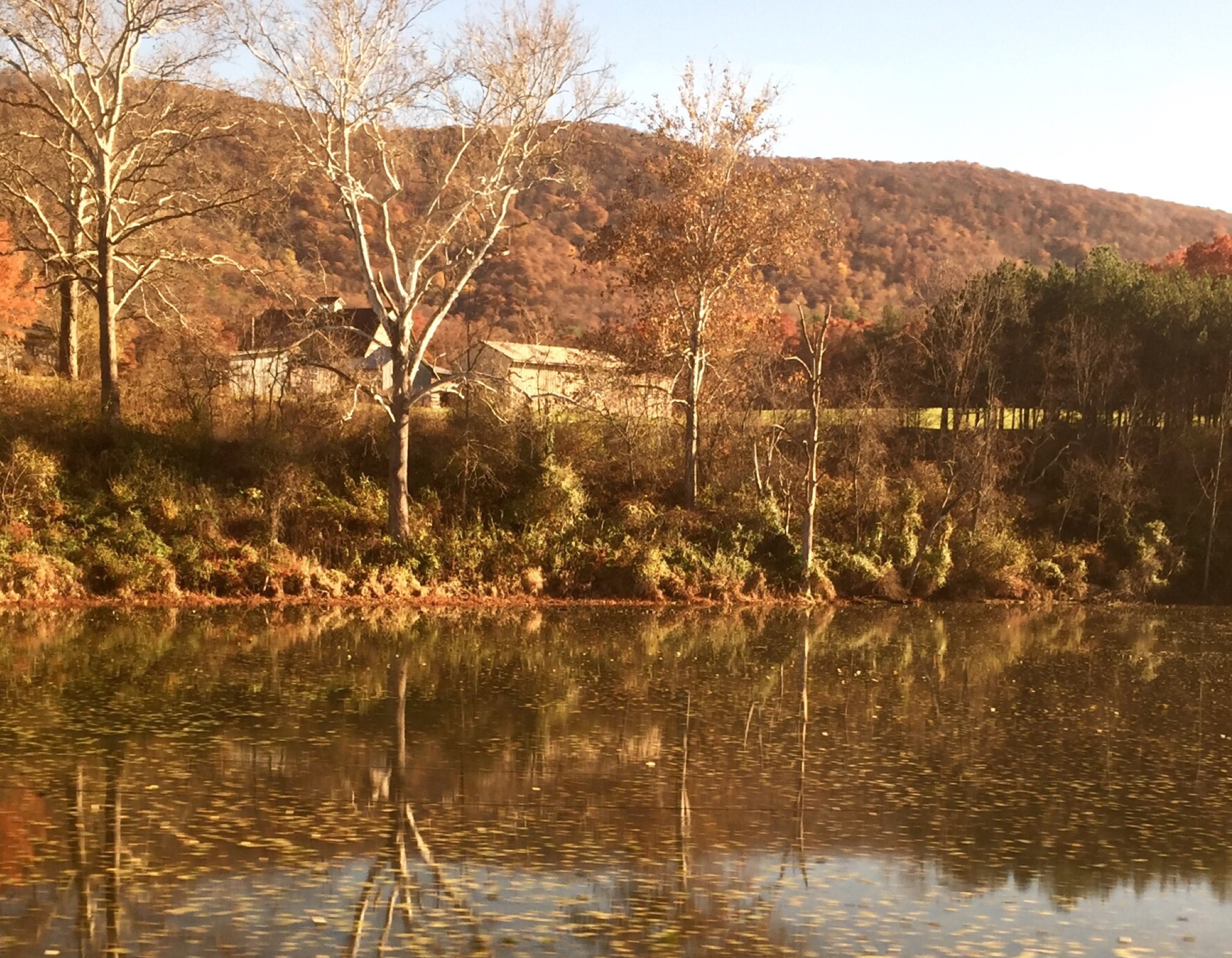
Passing by a pond in the Fall
Goshen Virginia
On the Cardinal in Western Virginia
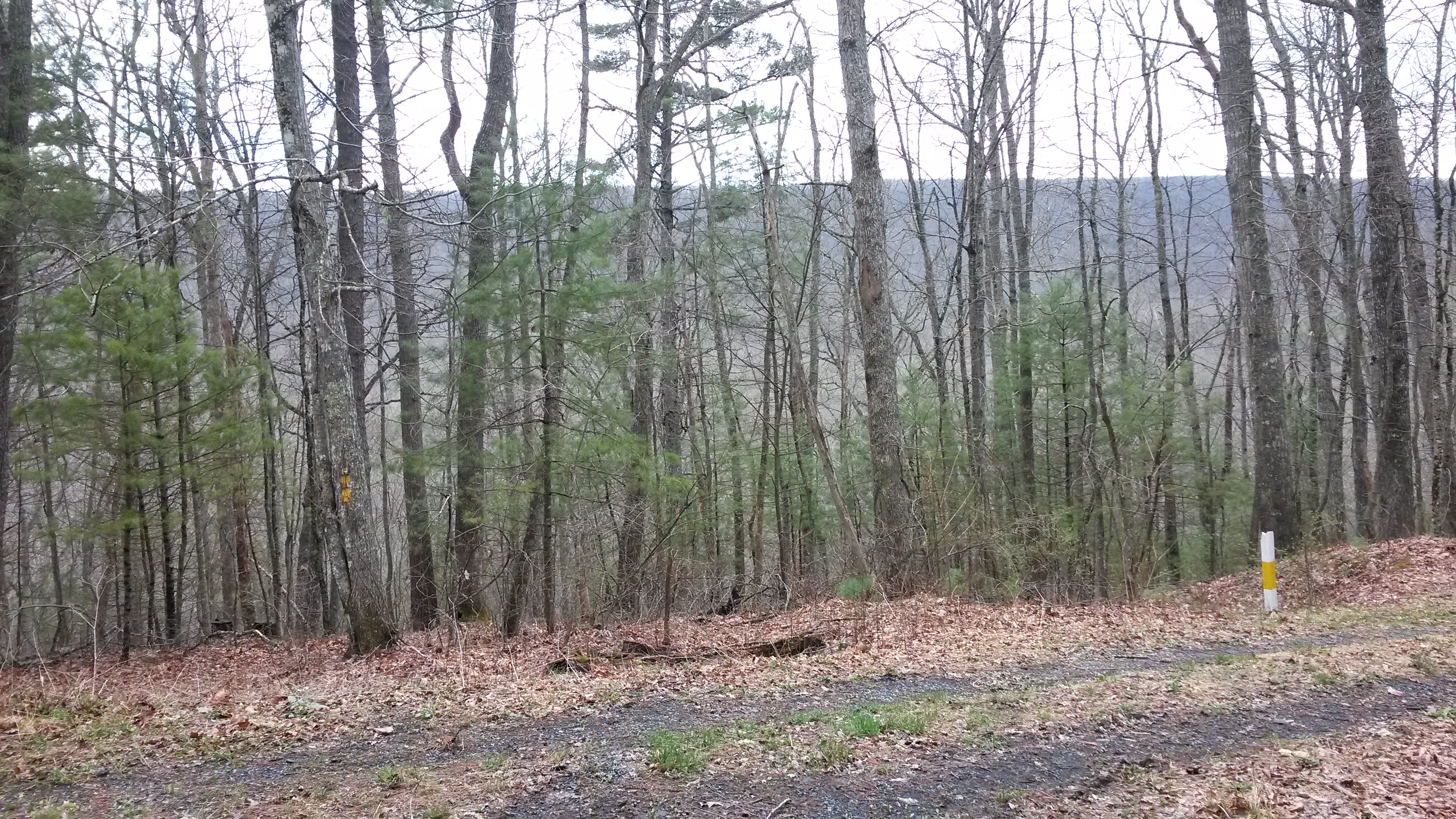
Walker Mountain Bath county side VA. USA 3600 ft elevation 2.5 hr climb no views .
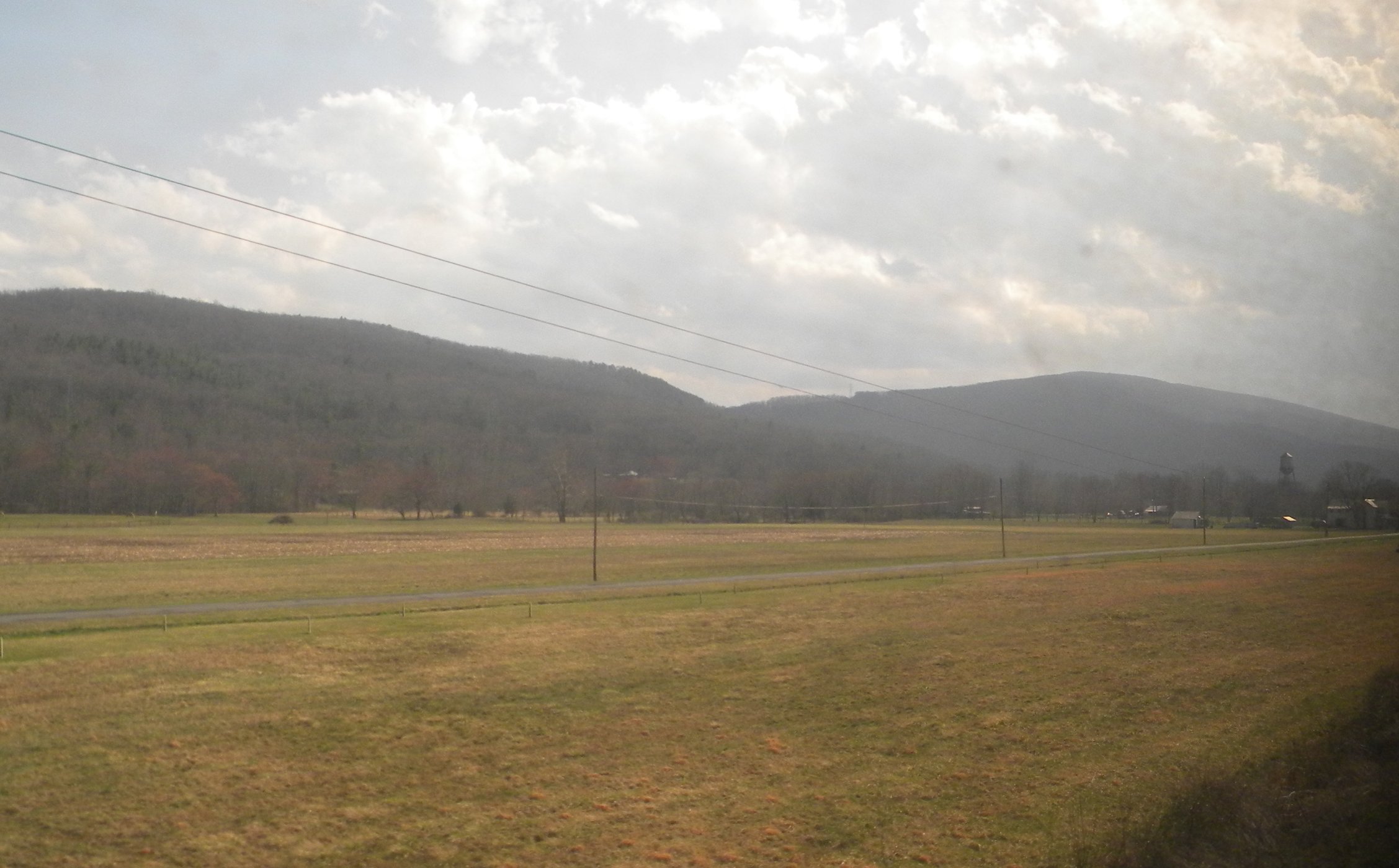
Central VA

Empties for West Virginia
HM8G3969.jpg
HM8G3961.jpg

Swimming/Fishing hole

Calfpasture River - Goshen, VA
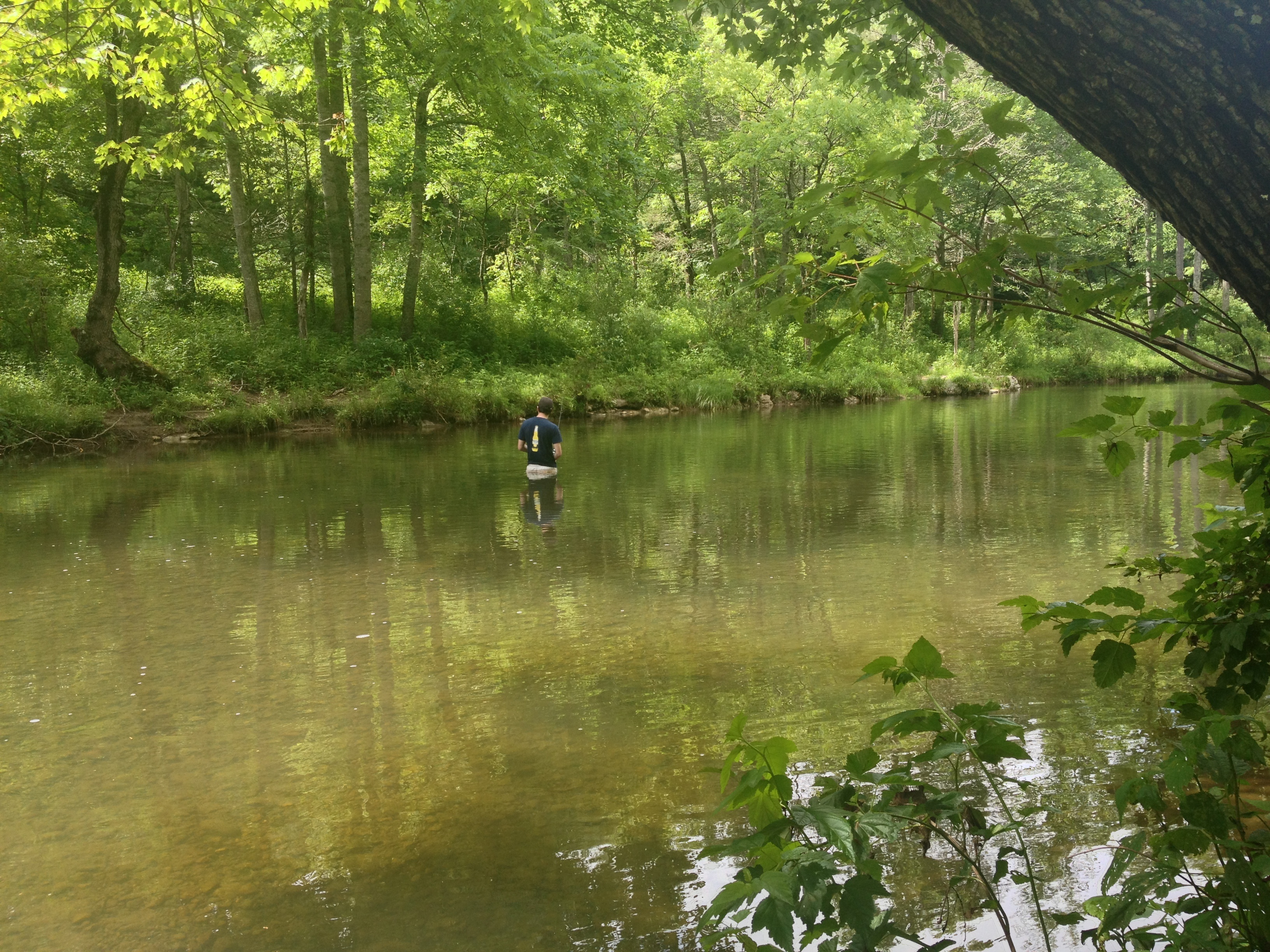
Severin fishing

IMG_2649.JPG
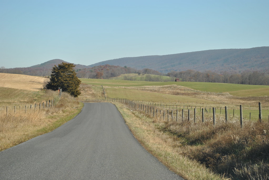
COUNTRY ROAD
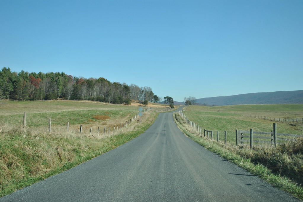
COUNTRY ROADS
Mill Creek

The old fire tower
IMG_2663.JPG
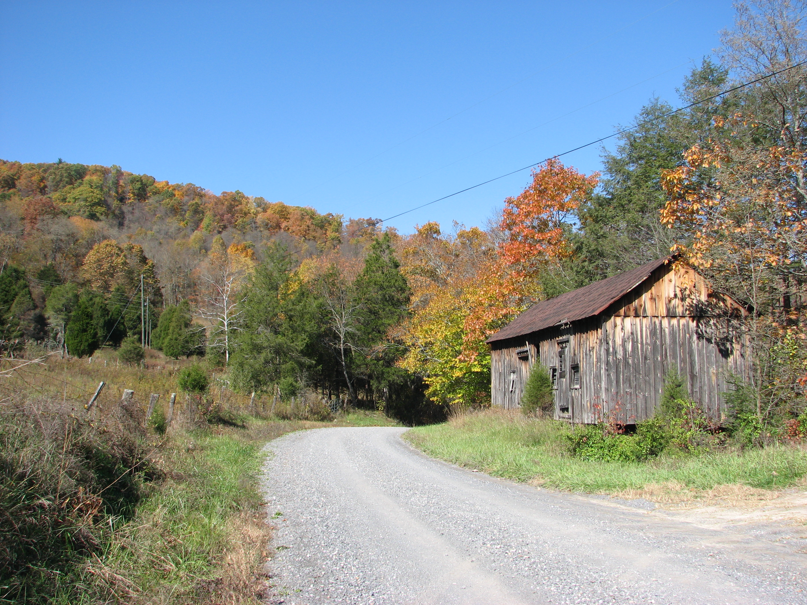
BATH COUNTY FARM
IMG_2666.JPG
Topographic Map of Deerfield Rd, Millboro, VA, USA
Find elevation by address:

Places near Deerfield Rd, Millboro, VA, USA:
450 Mill Creek Crossing
Mill Creek Crossing
5311 Pig Run Rd
6482 Mill Creek Rd
Deerfield Road
6822 Mill Creek Rd
Mill Creek Road
Fort Lewis Lodge & Farm
603 Old Plantation Way
Dream Street
Pig Run Road
1511 Mill Creek Rd
13954 Deerfield Rd
Bath County
Hotchkiss
3068 River Rd
Mountain Valley Rd, Millboro, VA, USA
2700 Westminster Rd
Clayton Mill Road
Clayton Mill Road
Recent Searches:
- Elevation of Corso Fratelli Cairoli, 35, Macerata MC, Italy
- Elevation of Tallevast Rd, Sarasota, FL, USA
- Elevation of 4th St E, Sonoma, CA, USA
- Elevation of Black Hollow Rd, Pennsdale, PA, USA
- Elevation of Oakland Ave, Williamsport, PA, USA
- Elevation of Pedrógão Grande, Portugal
- Elevation of Klee Dr, Martinsburg, WV, USA
- Elevation of Via Roma, Pieranica CR, Italy
- Elevation of Tavkvetili Mountain, Georgia
- Elevation of Hartfords Bluff Cir, Mt Pleasant, SC, USA