Elevation map of Virginia, USA
Location: United States >
Longitude: -78.656894
Latitude: 37.4315734
Elevation: 214m / 702feet
Barometric Pressure: 99KPa
Elevation Map:
Satellite Map:
Related Photos:

Once In A Blue Moon

Hometown Half-light Hues & Views - Roanoke Virginia Sunset
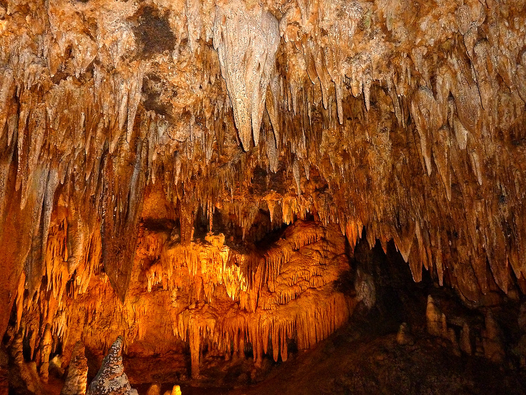
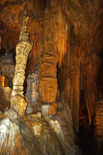
Luray Cavern, Virginia, 3

8:34 AM

Long and Winding
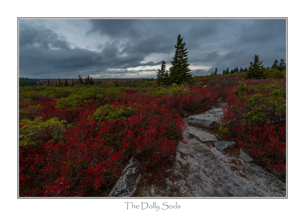
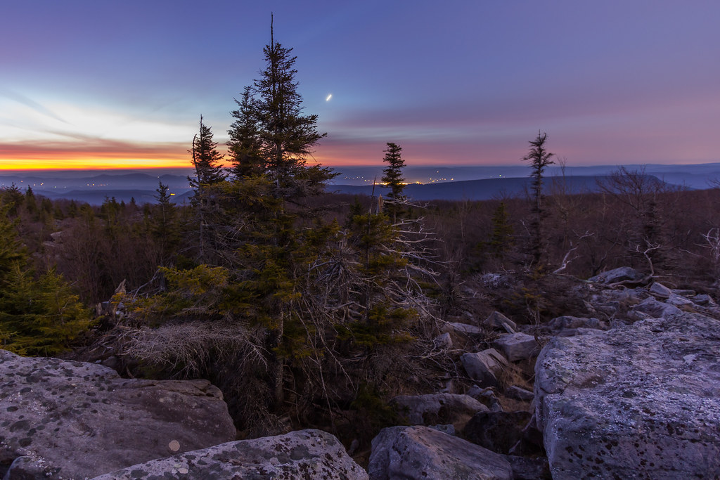
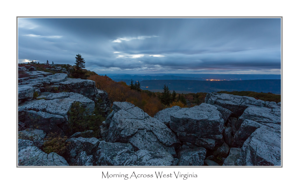
Autumn ... West Virginia Highlands
A little country road...

Breaking Through
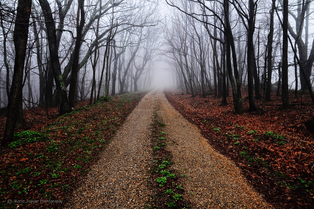
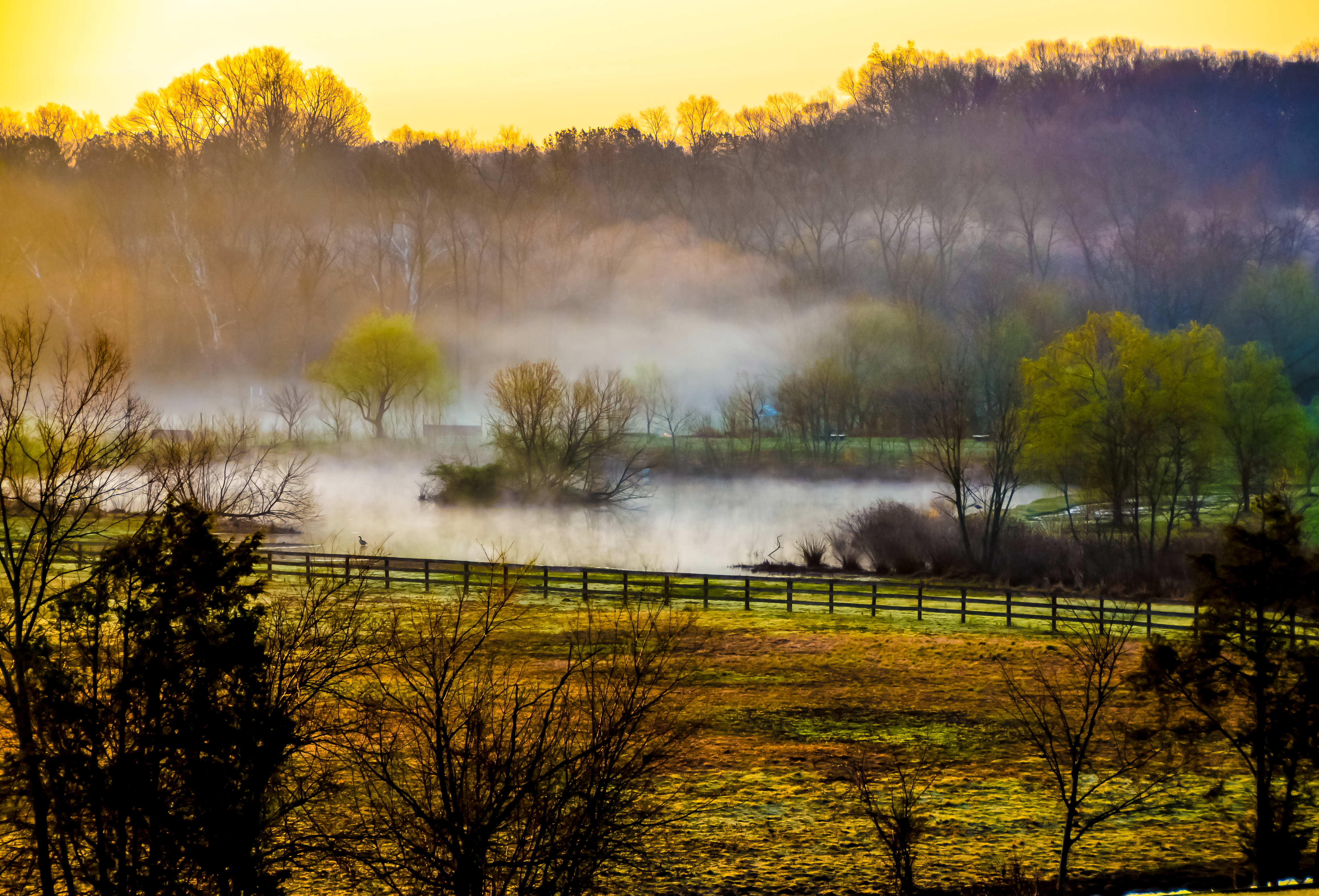
Foggy Autumn Morn
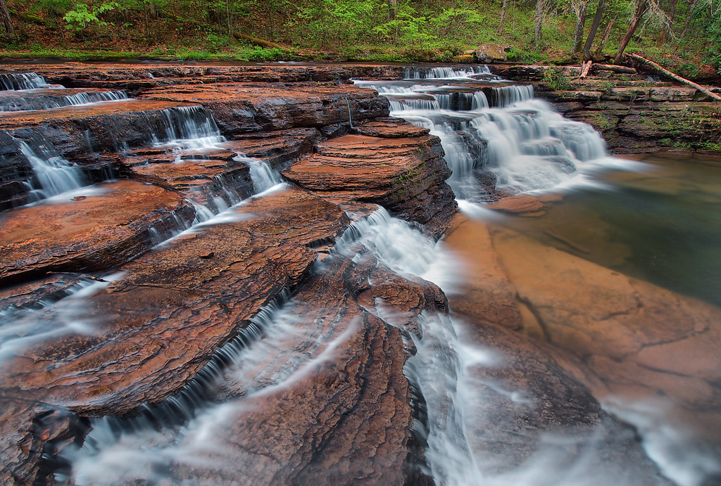
Lower Doyles
A View to Dawn

Smart View

Awesome Clouds

R I M E

A window on the world...

In The Dead of Night
virginia idyll
Fading Away

En un rincón de Mallorca
A Morning View

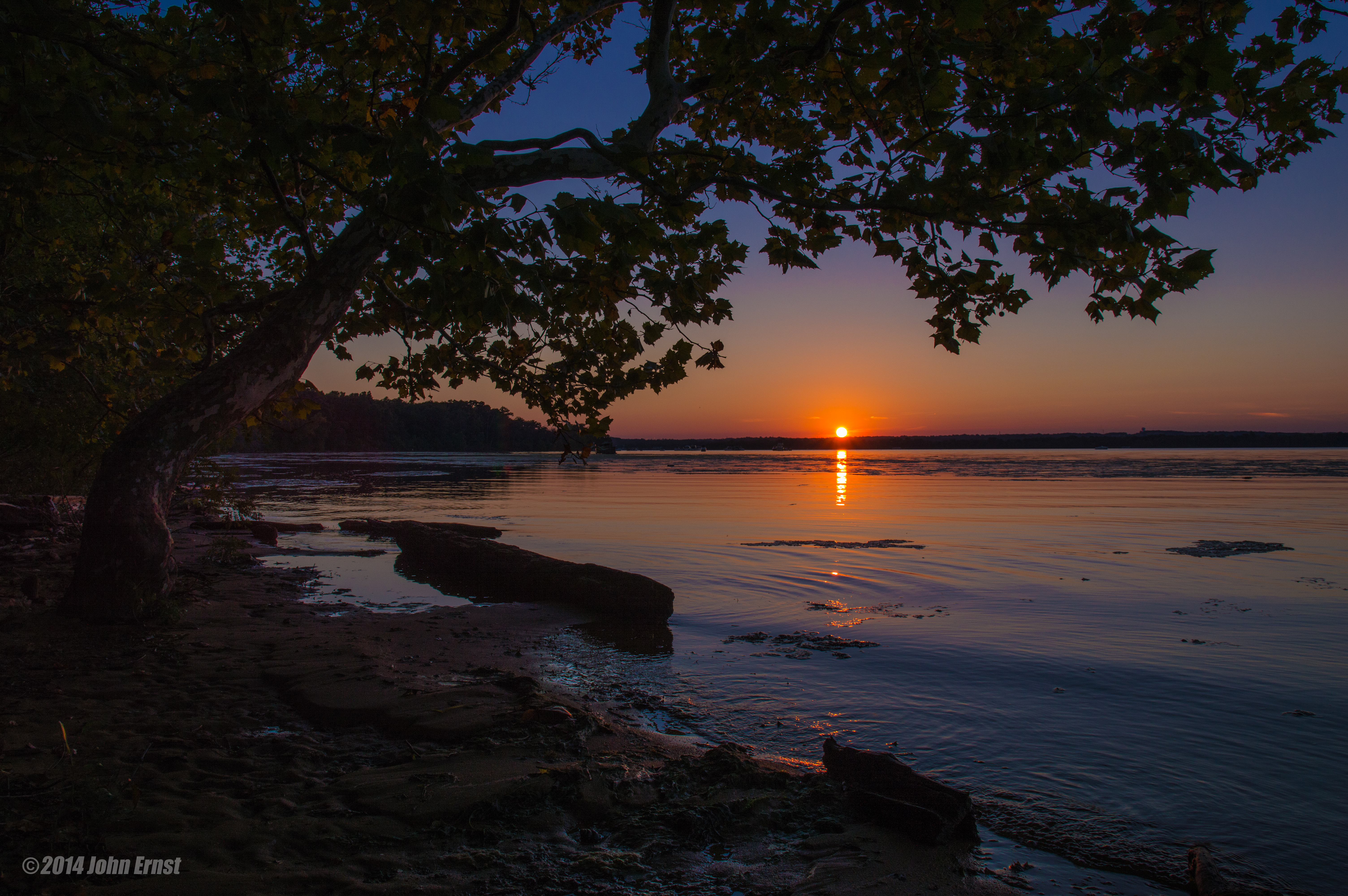
Sunset View By The Shore

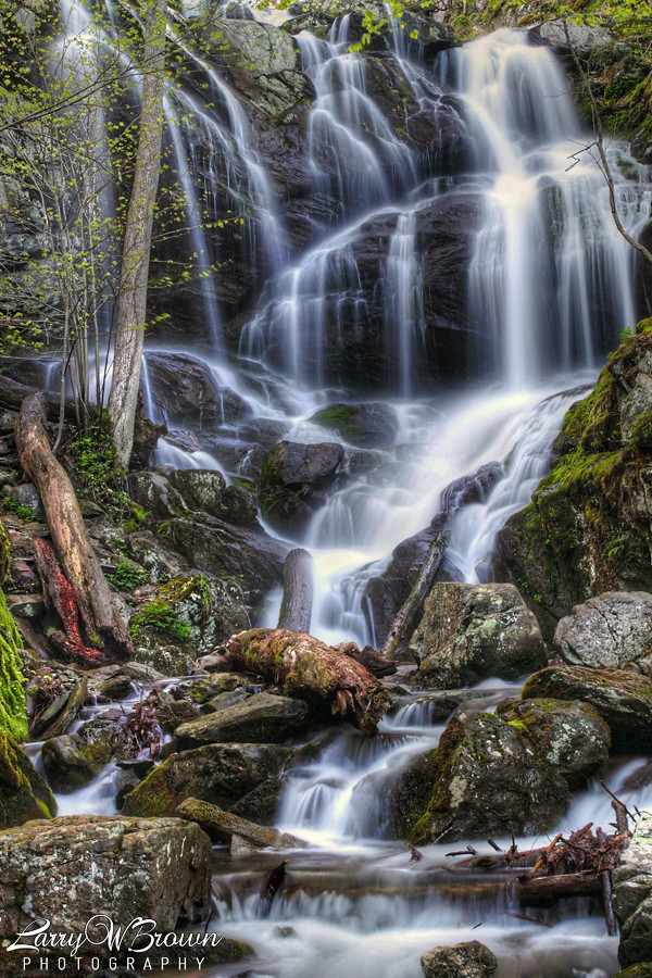
Scotts Run Falls

Virginia Creeper Trail

Mountain Dream1784
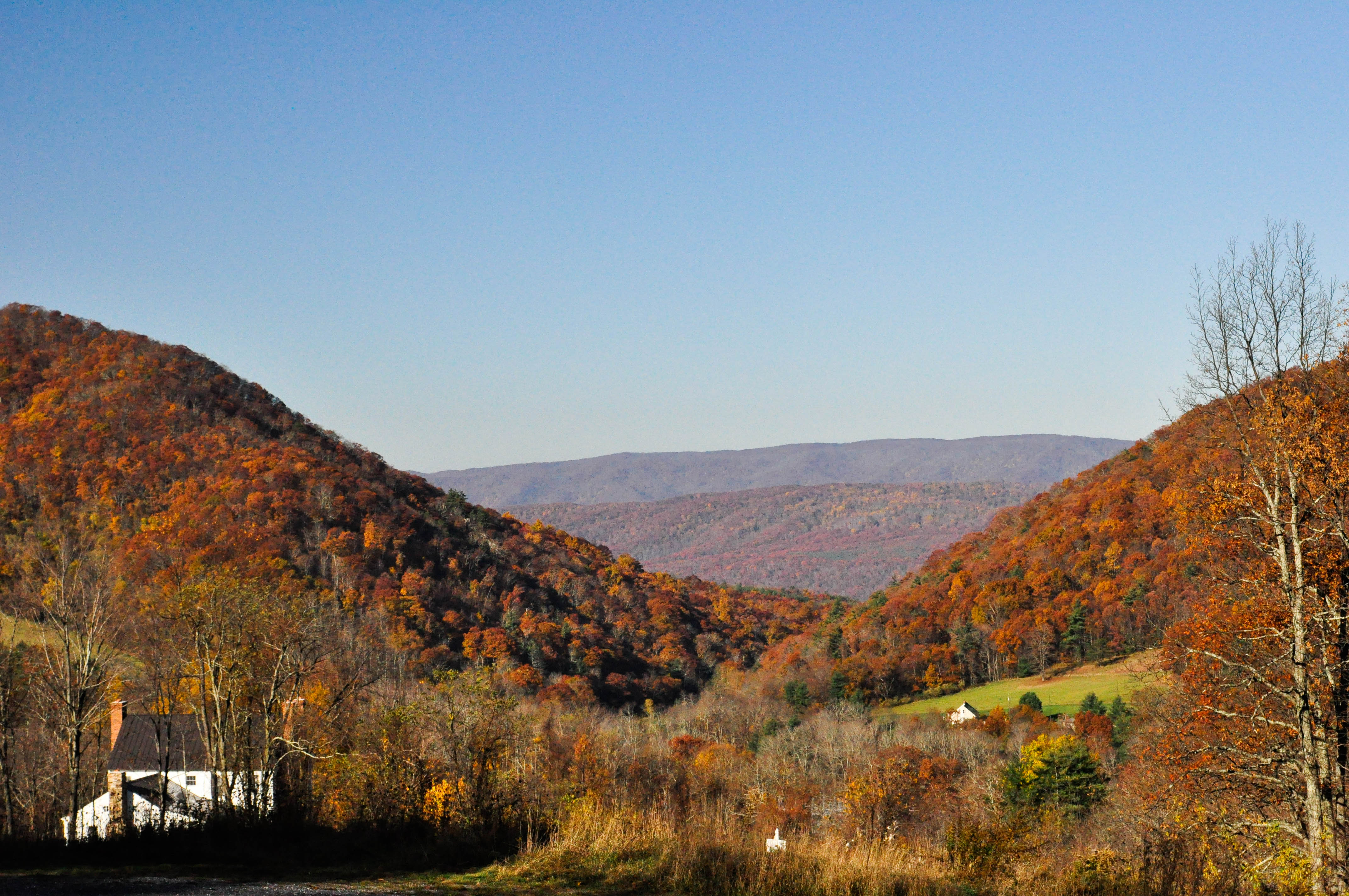
A beautiful fall day on the way towards Warm Spring, Virginia, looking towards back towards West Virginia

The Mountains of Virginia

Just before sunrise.....
Beginning of a new day.......
Burst of Light
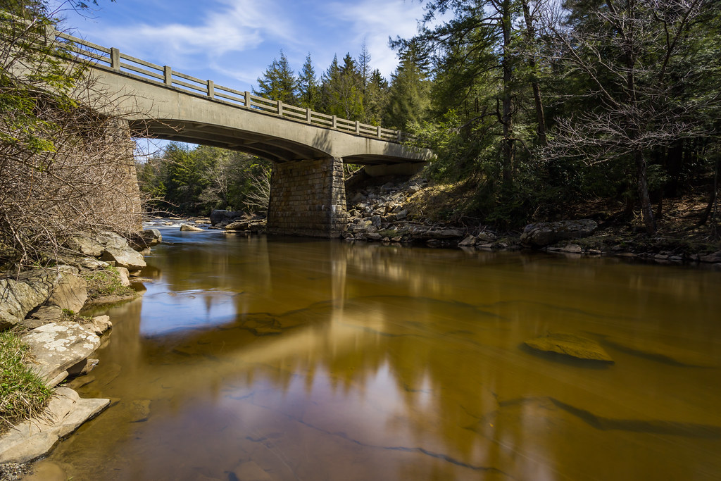
Bridging the Reflection
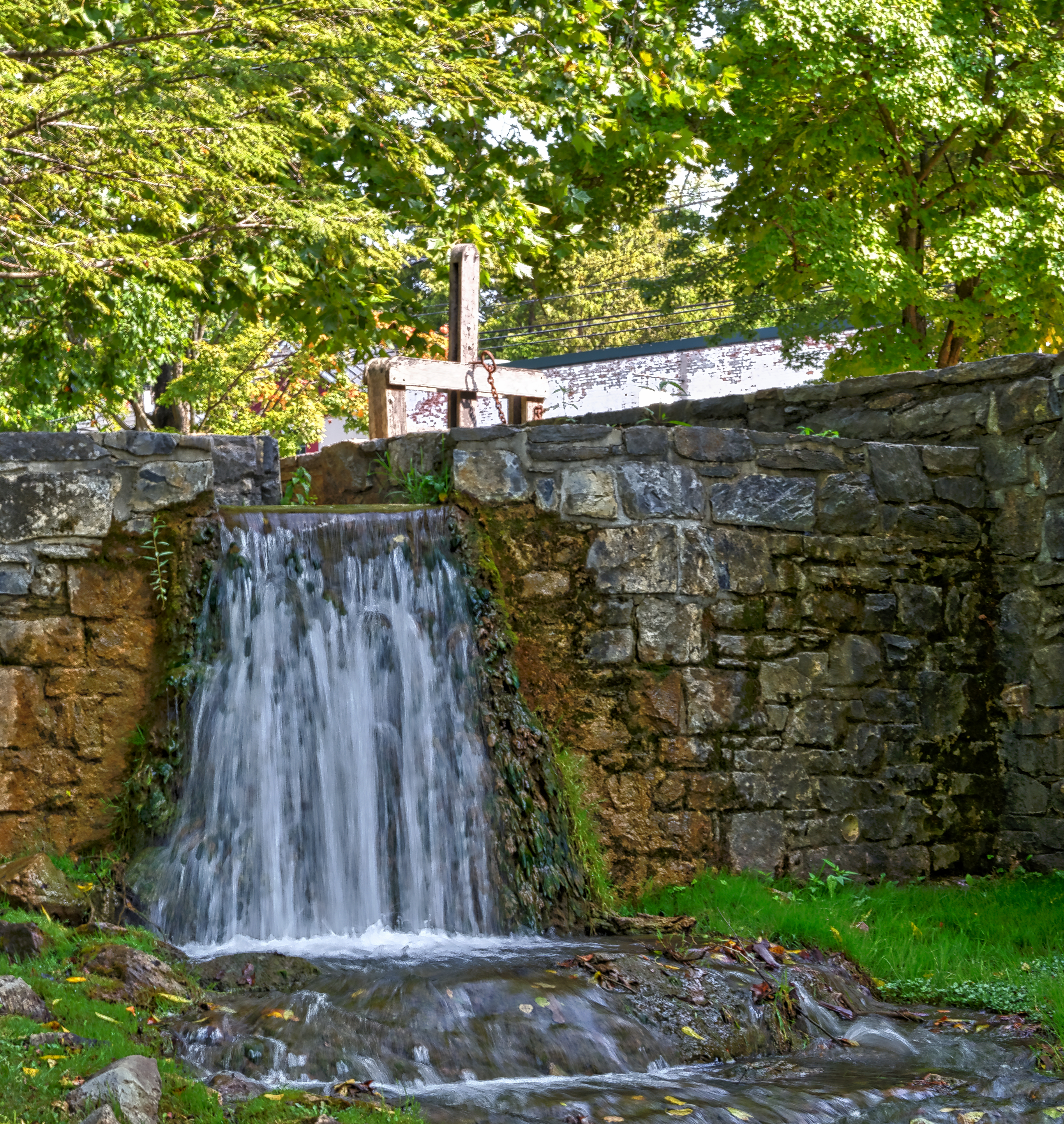
Mill Race

Hay Bales
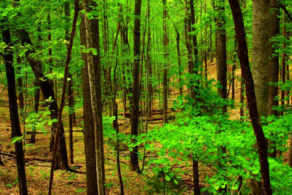
Spring Shade

A salute to trees.....

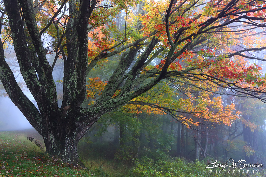
Autumn in Virginia

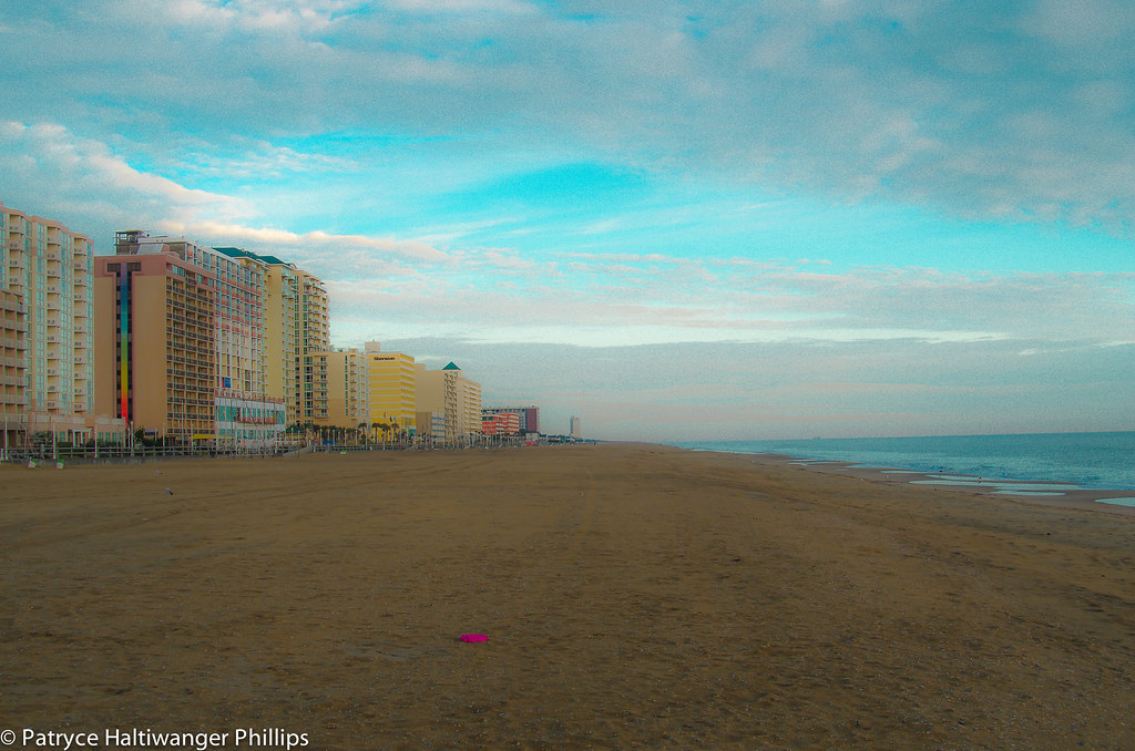
Sunset at Huntington Beach
... many and many a year ago, In a kingdom by the sea... Annabel Lee - Edgar Allen Poe

A Surreal Landscape

Ground fog rising at dawn...
high ceilings
Sweet Virginia......
Mason Neck Sunset Tree
Topographic Map of Virginia, USA
Find elevation by address:

Places in Virginia, USA:
Fairfax County
Grayson County
Chesterfield County
Loudoun County
Virginia Beach
Prince William County
Albemarle County
Roanoke County
Alexandria
Washington County
Hampton
Carroll County
Pittsylvania County
Suffolk
Fauquier County
Patrick County
Rockingham County
Accomack County
York County
Warren County
Floyd County
Arlington County
Augusta County
Norfolk
Chesapeake
Henrico County
Montgomery County
Bath County
Hanover County
Bedford County
Richmond
Campbell County
Newport News
Wise County
Poquoson
Smyth County
Henry County
Frederick County
Shenandoah County
Roanoke
Northampton County
Goochland County
Scott County
Rappahannock County
Nelson County
Lancaster County
Tazewell County
Gloucester County
James City County
Franklin County
Amherst County
Wythe County
Lynchburg
Williamsburg
King George County
Rockbridge County
Spotsylvania County
Orange County
Culpeper County
Meadows Of Dan
Botetourt County
Caroline County
Powhatan County
Portsmouth
Prince George County
Charlottesville
Isle Of Wight County
King William County
Louisa County
Amelia County
Clarke County
Alleghany County
Lee County
Mathews County
Danville
Pulaski County
Essex County
Richmond County
Giles County
Stafford County
Halifax County
Page County
Mecklenburg County
Winchester
Surry County
Middlesex County
Northumberland County
Dickenson County
Westmoreland County
Petersburg
Buchanan County
Russell County
Rural Retreat
Fluvanna County
Staunton
Austinville
Manassas
Fredericksburg
Fairfax
Dinwiddie County
Places near Virginia, USA:
Cutbanks Rd, Pamplin, VA, USA
Blackberry Lane
Hixburg Rd, Pamplin, VA, USA
Crumptown Road
1690 Poorhouse Creek Rd
Buckingham County
Appomattox River
Rocks Church Road
3857 Oak Hill Rd
US-, Pamplin, VA, USA
Buckingham
Railroad Ln, Pamplin, VA, USA
Flood
U.s. 60
5, VA, USA
Pamplin
4, VA, USA
1551 Piney Ridge Road
Piney Ridge United Methodist Church
Willis Mountain
Recent Searches:
- Elevation of Tenjo, Cundinamarca, Colombia
- Elevation of Côte-des-Neiges, Montreal, QC H4A 3J6, Canada
- Elevation of Bobcat Dr, Helena, MT, USA
- Elevation of Zu den Ihlowbergen, Althüttendorf, Germany
- Elevation of Badaber, Peshawar, Khyber Pakhtunkhwa, Pakistan
- Elevation of SE Heron Loop, Lincoln City, OR, USA
- Elevation of Slanický ostrov, 01 Námestovo, Slovakia
- Elevation of Spaceport America, Co Rd A, Truth or Consequences, NM, USA
- Elevation of Warwick, RI, USA
- Elevation of Fern Rd, Whitmore, CA, USA