Elevation of Campbell County, VA, USA
Location: United States > Virginia >
Longitude: -79.109690
Latitude: 37.221014
Elevation: 247m / 810feet
Barometric Pressure: 98KPa
Elevation Map:
Satellite Map:
Related Photos:

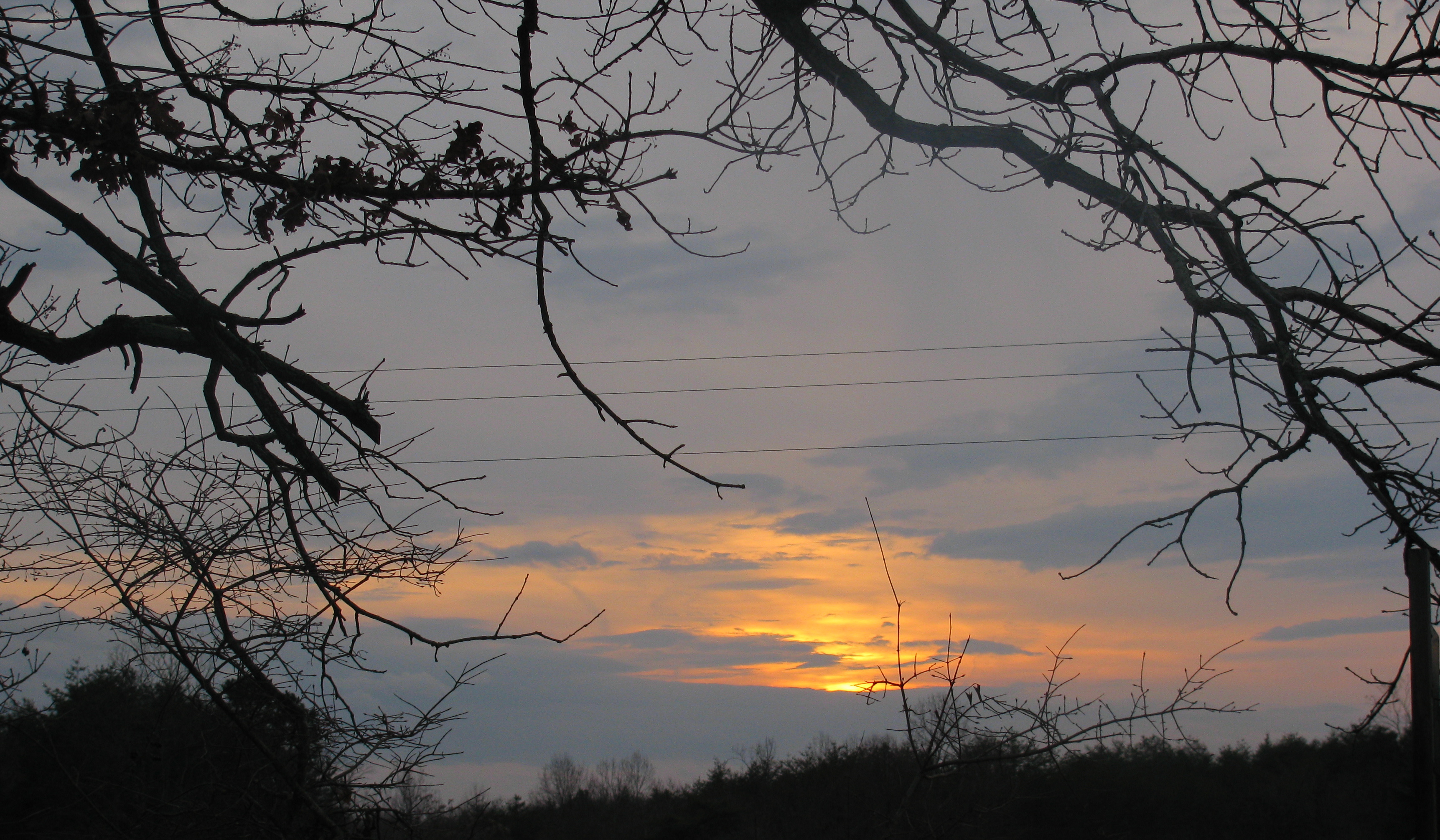
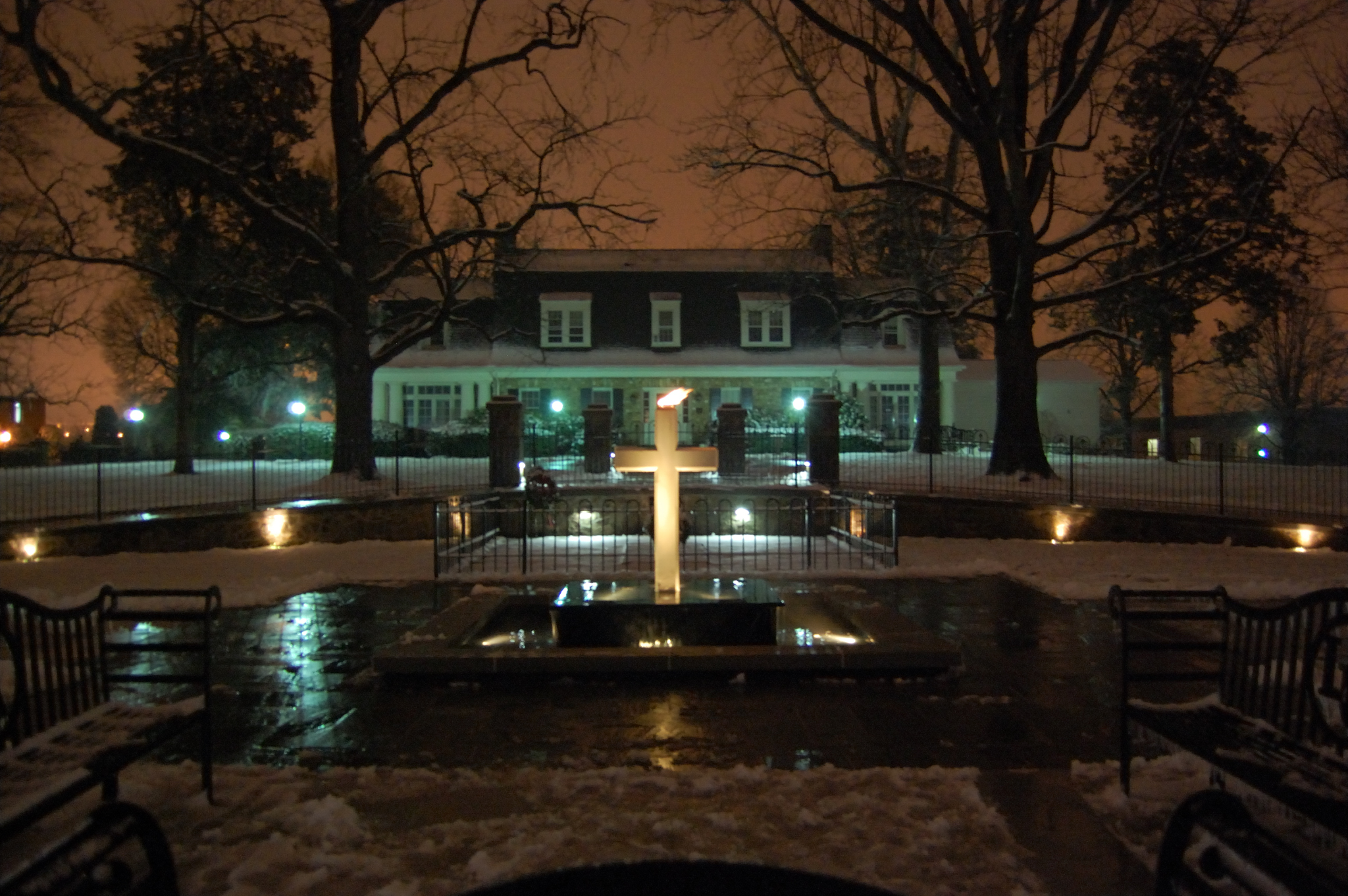
The view from my window in Virginia tonight. #Sunset #Virginia #VA
My view
From my view

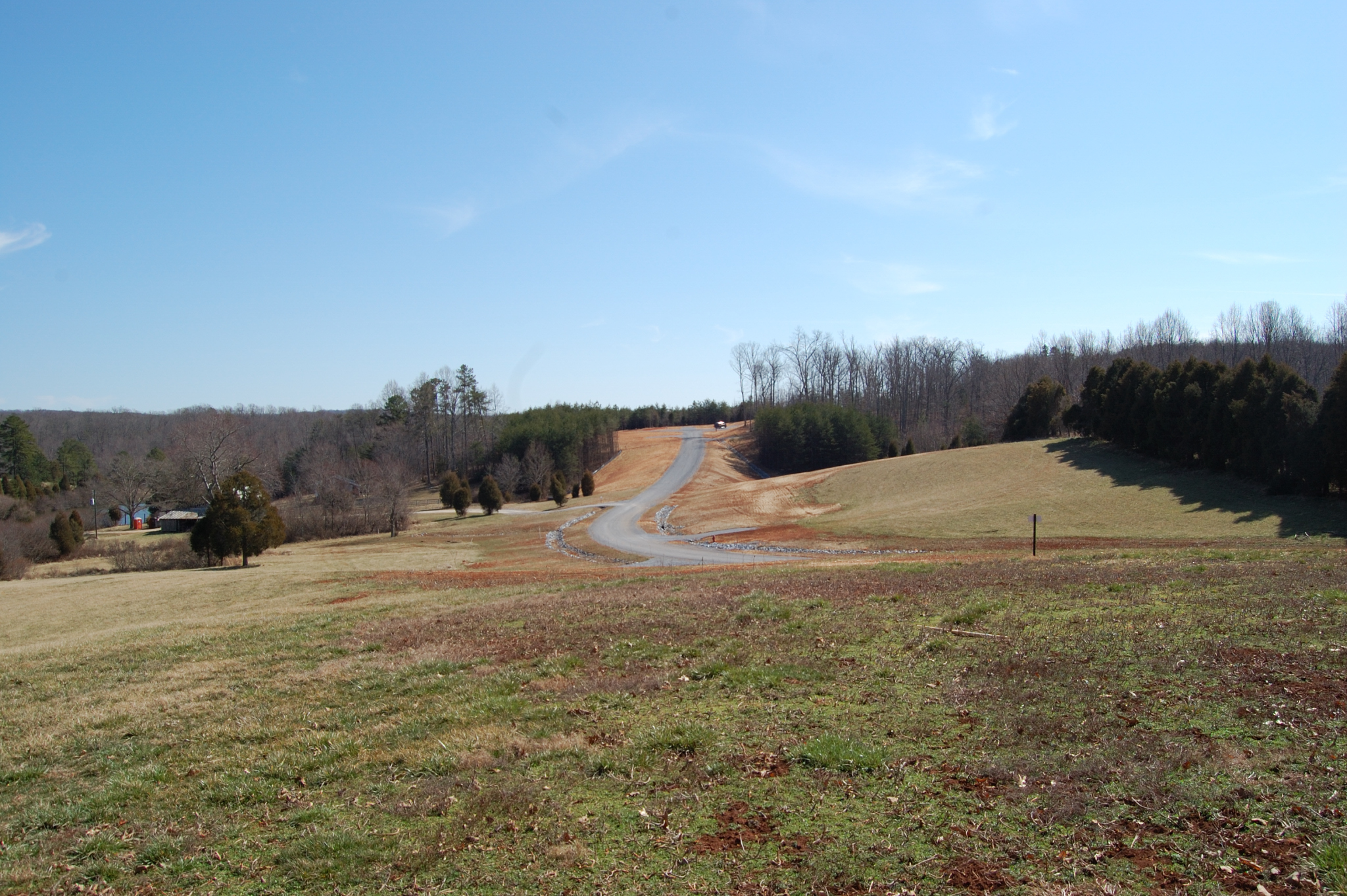
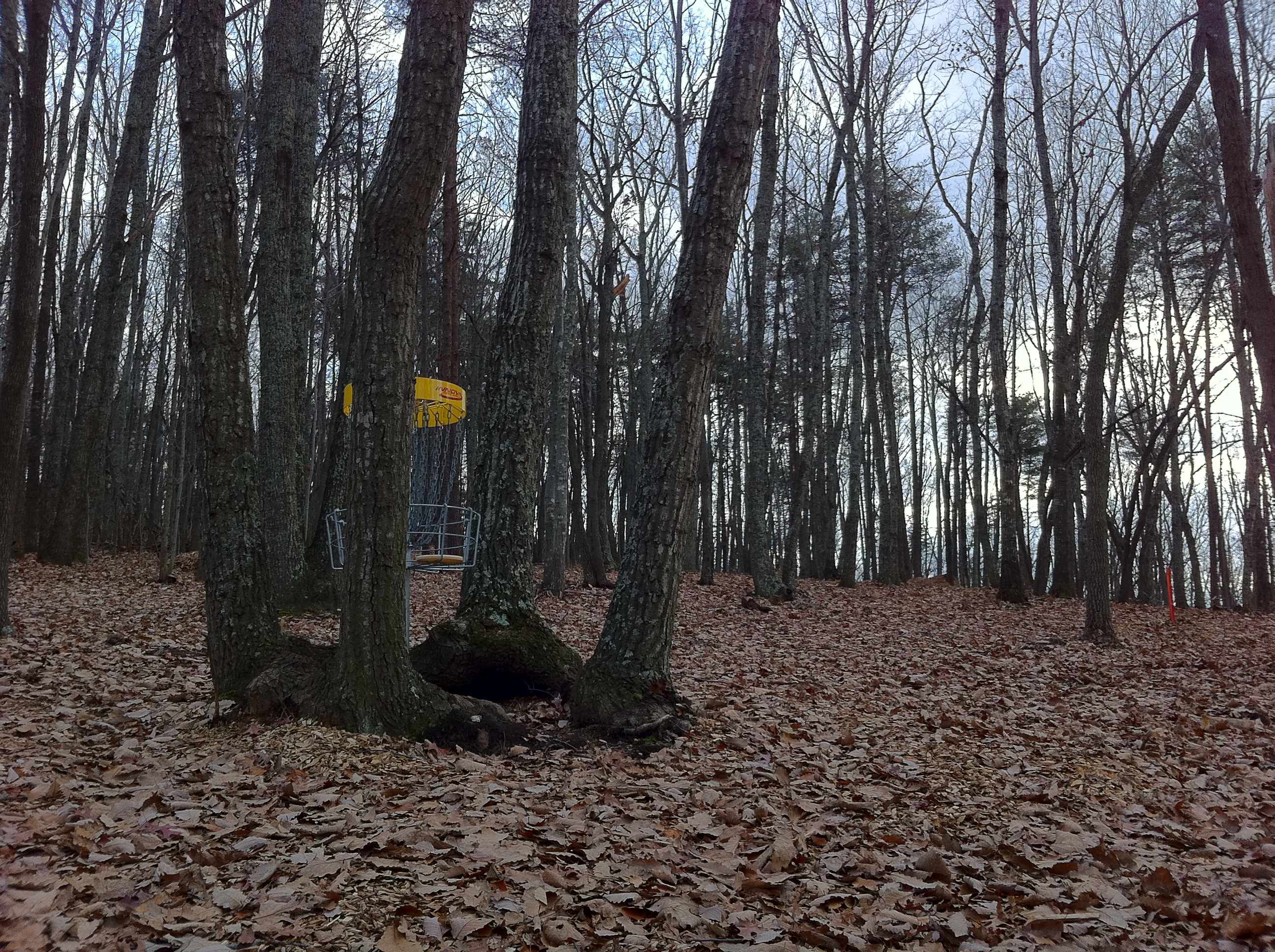
Hayline Ridge

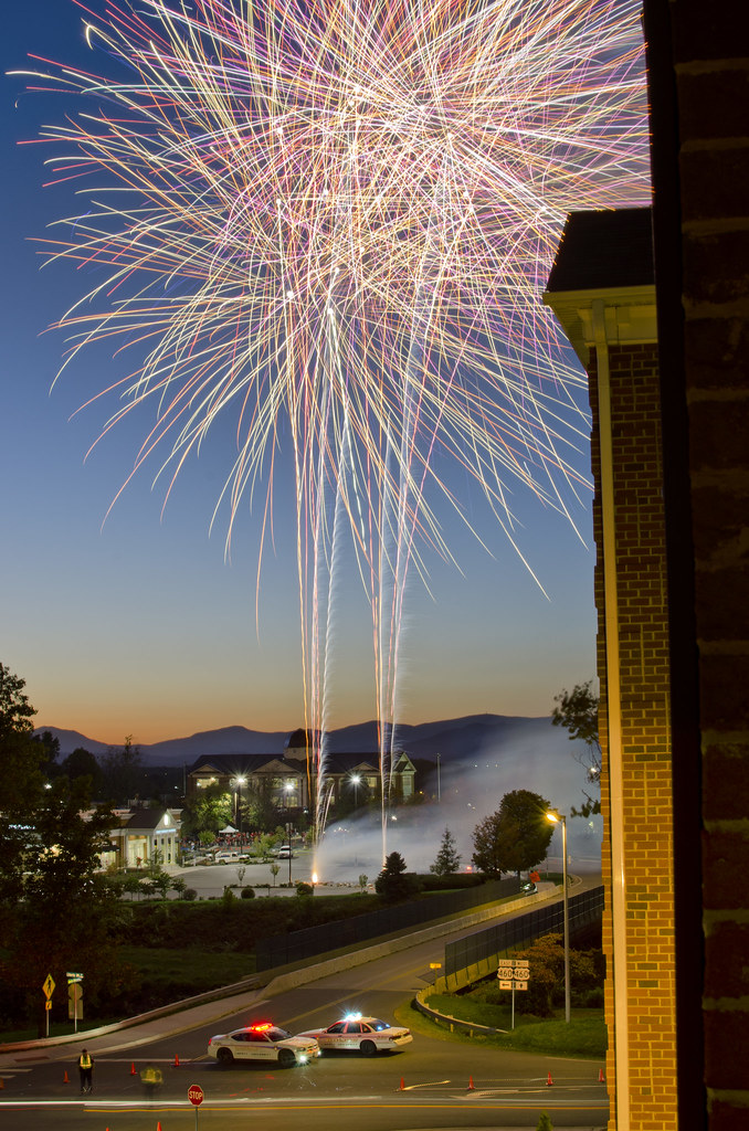
Liberty University Defends Against Coastal Carolina Extra Point

Clear Cut View
View from my room

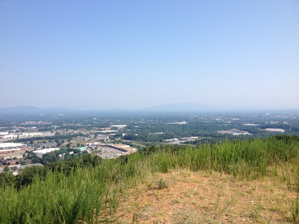
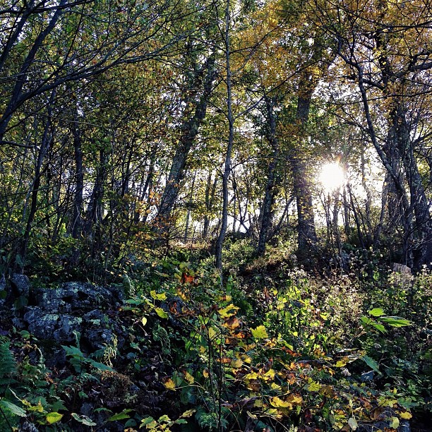
View of the Blue Ridge From Candler Mountain
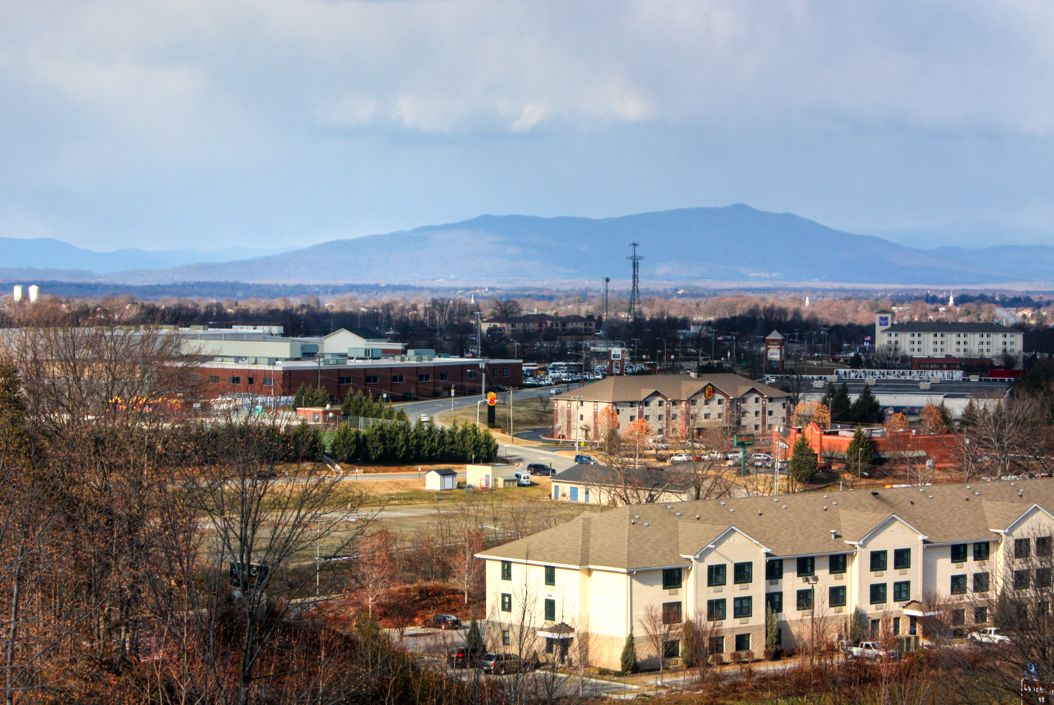
Panned out view
Panned out view
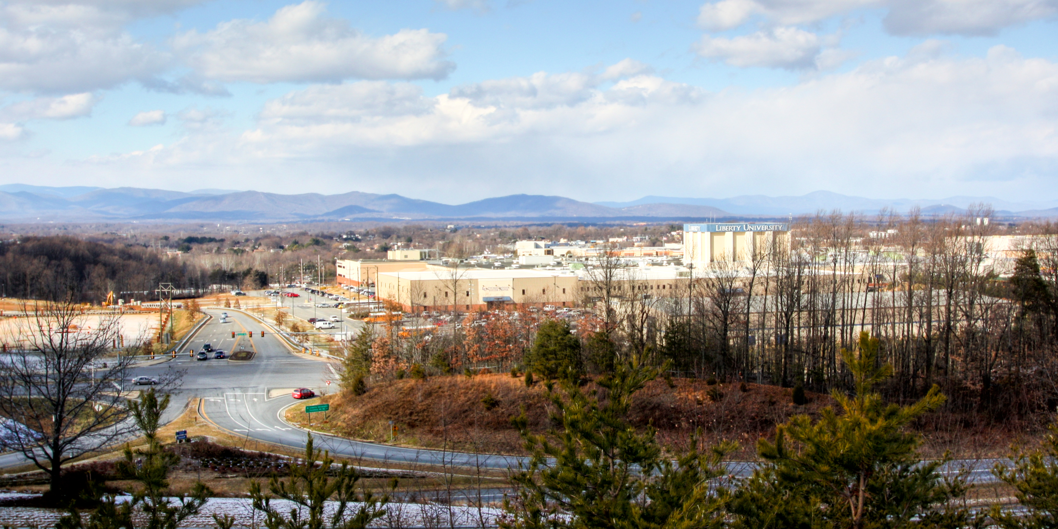
View of the Blue Ridge From Candler Mountain
View of the Blue Ridge From Candler Mountain
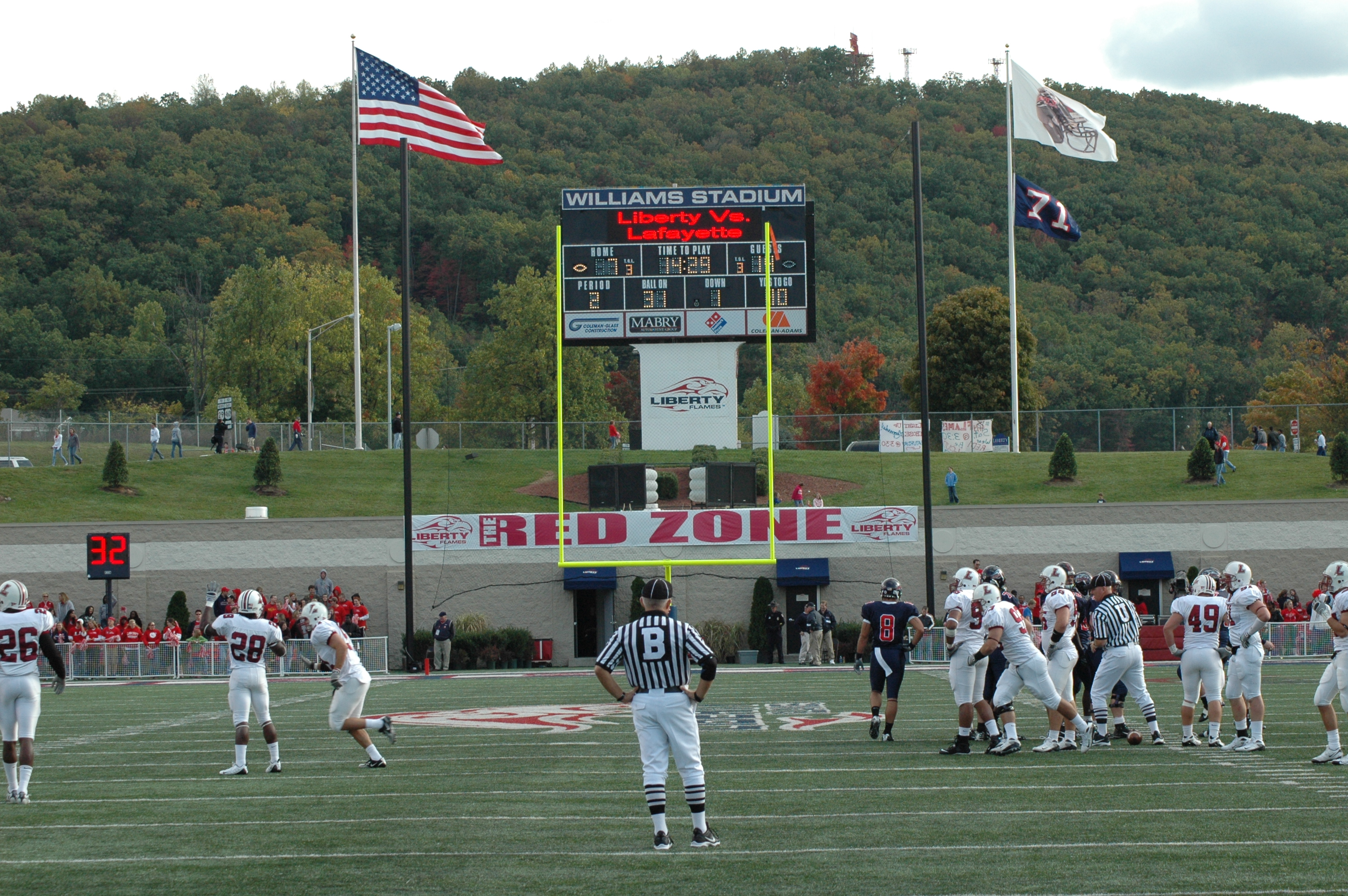
View From the End Zone
View of Lynchburg from Liberty Mountain
View facing down the street
Over the shoulder view

Scout's view
View from the side facing the street
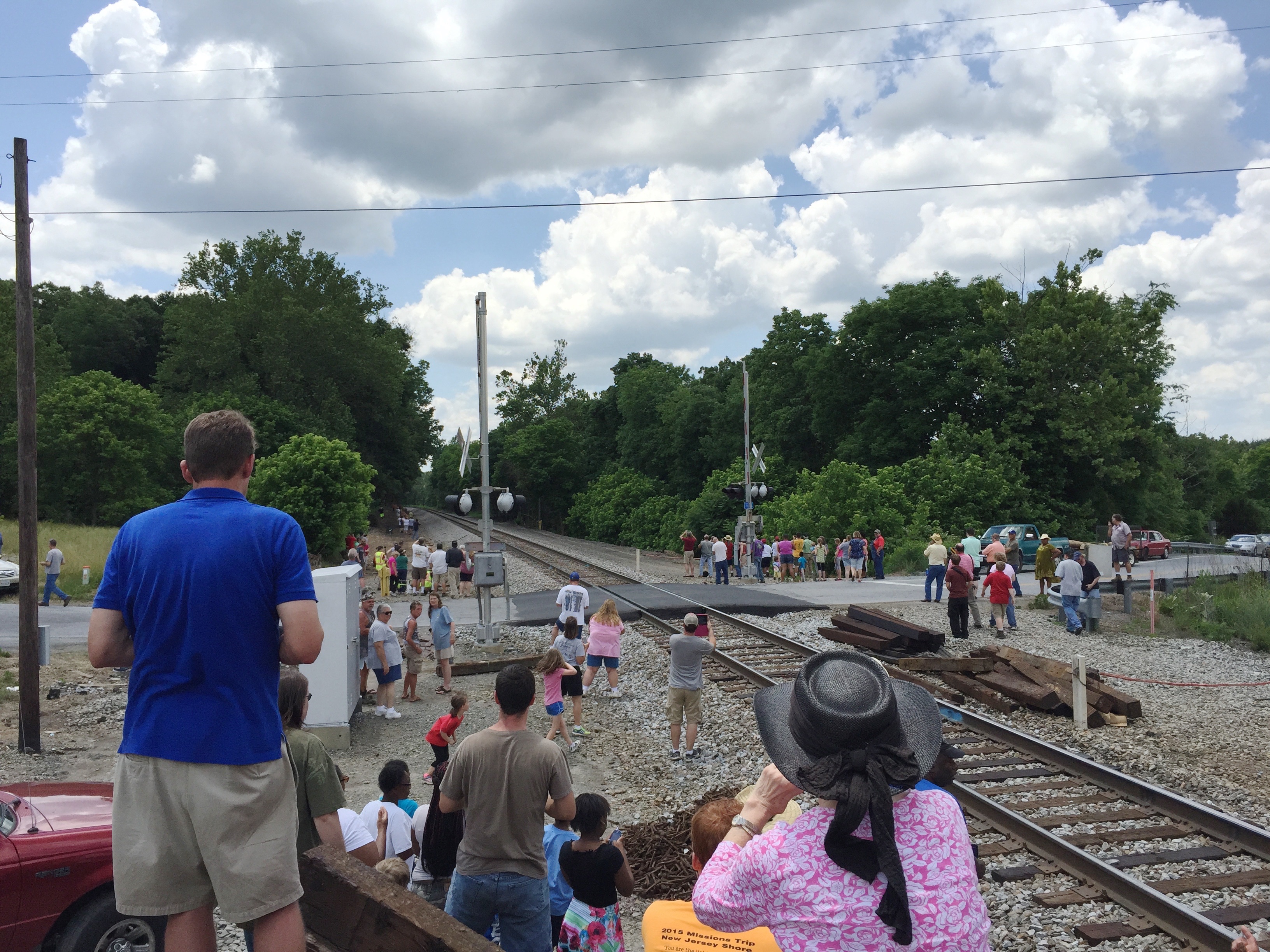
1-6 611 Steam Locomotive

Lynchburg, Va....as seen from my hotel room window

Another trip through Lynchburg, Va

N&W 611 Over Possum Creek Trestle

Mt. Zion Covered Bridge, Washington Co., KY

IMG_1711.JPG
Protected Pin

IMG_1767.JPG
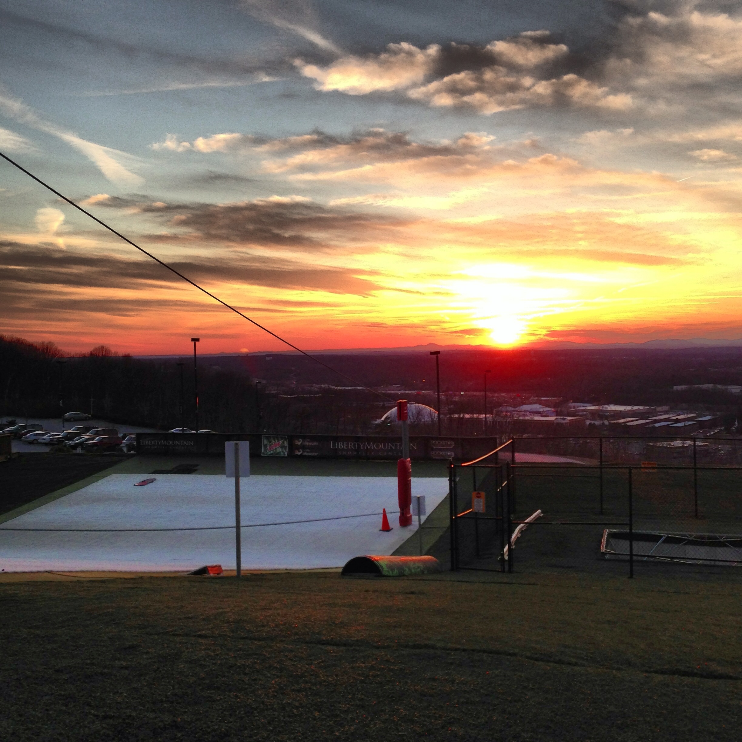
Sunset at Snowflex

IMG_1709.JPG
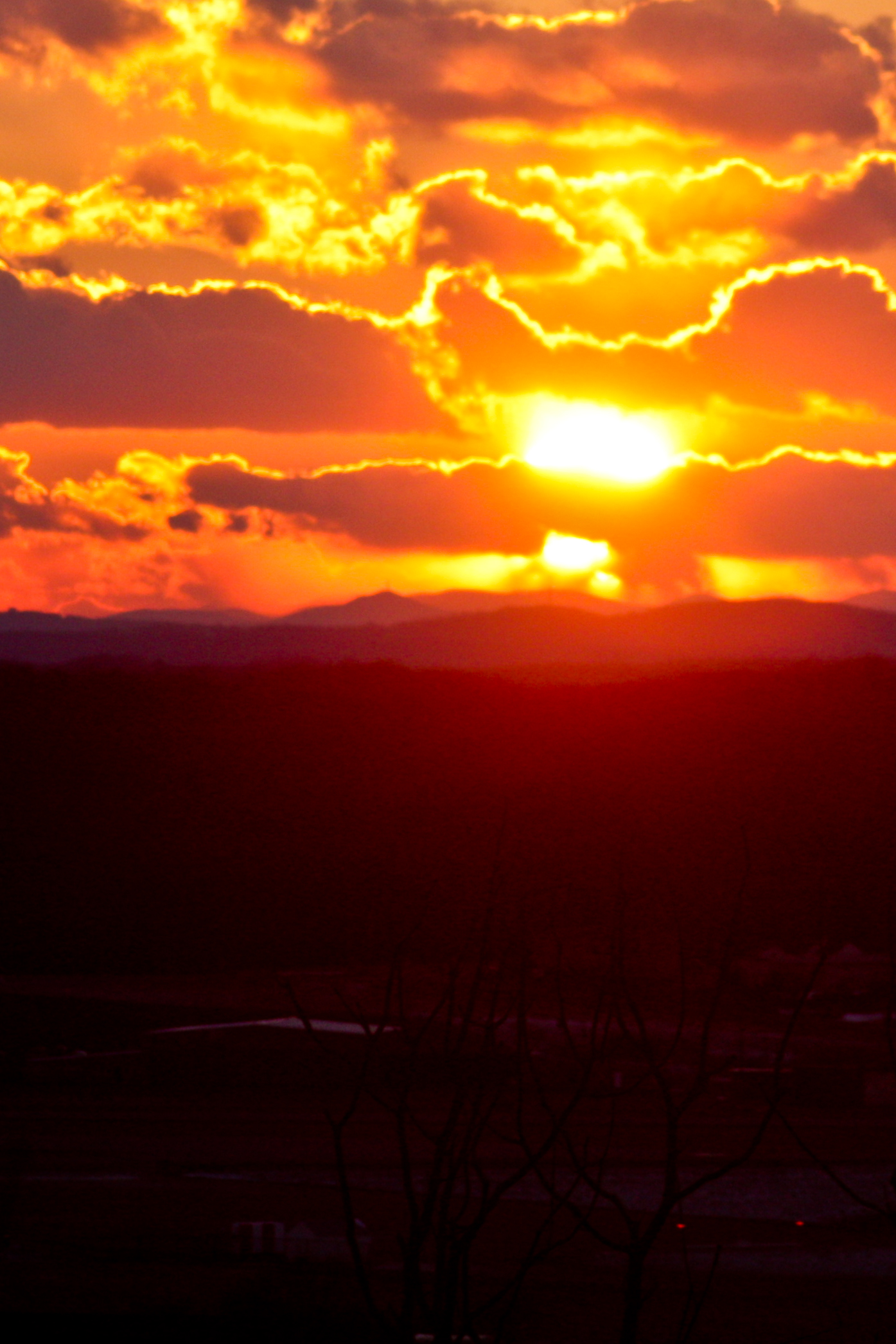
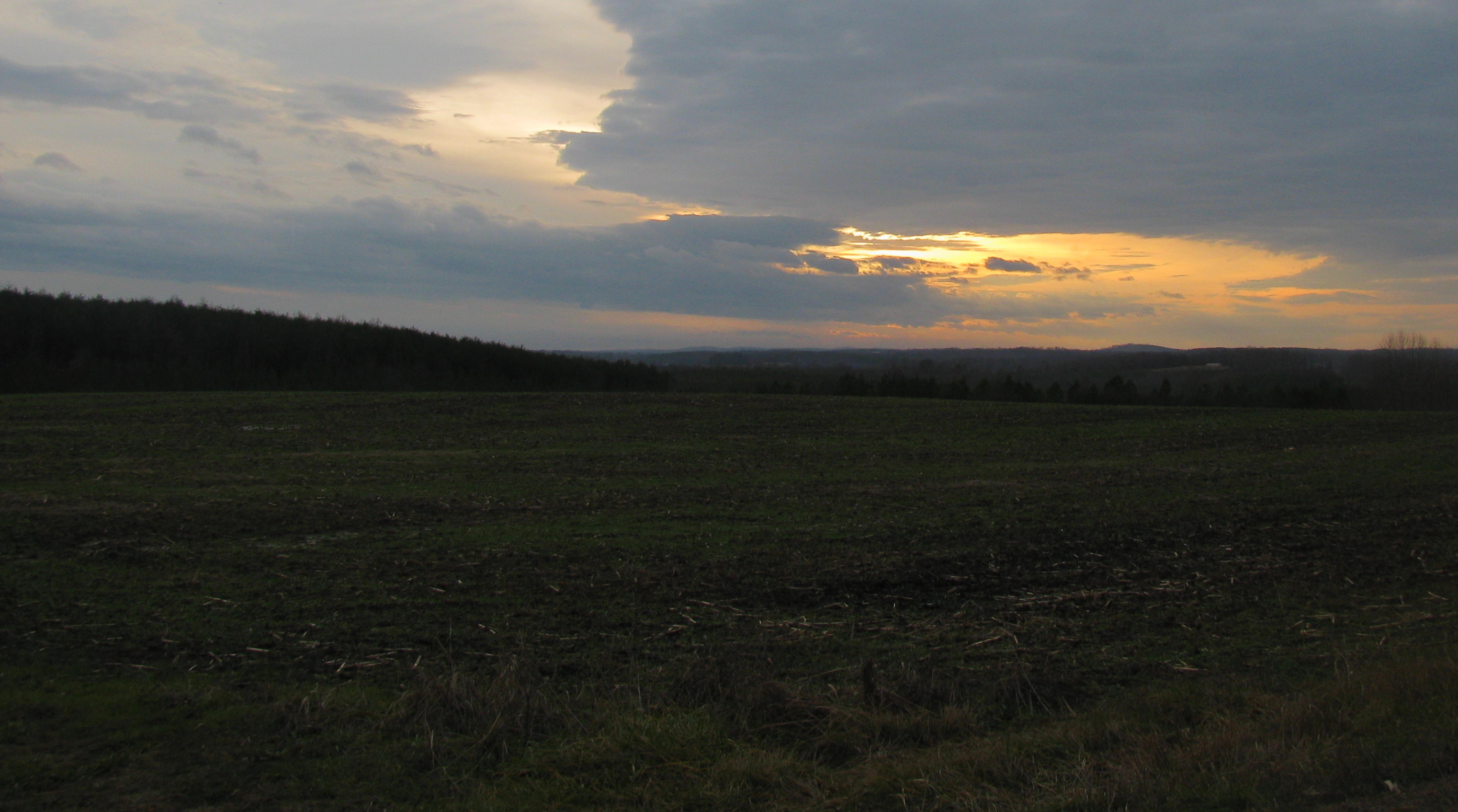
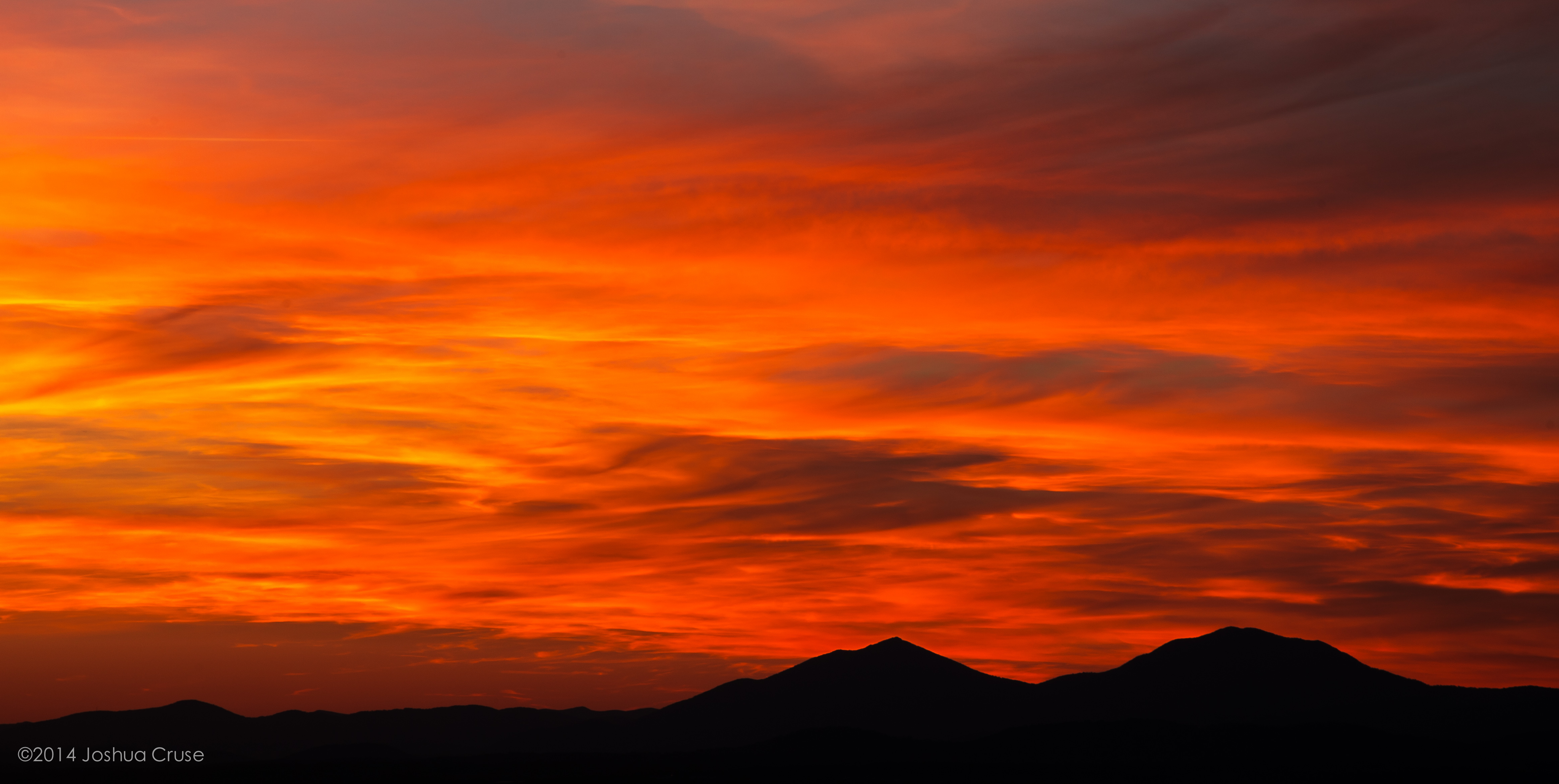
Sunset From Candler Mountain
Sunset at Sharp Top// Mornin' friends and Happy Saturday! Fall is coming and that brings much change: warm sweaters, leaf colors and Starbucks favors! Anyways, I hope your prepared for the change. Have a great day ;)

IMG_1706.JPG

IMG_1766.JPG
Distant Peaks
back to basics

Lynchburg, Va....as seen from my hotel room window
Topographic Map of Campbell County, VA, USA
Find elevation by address:

Places in Campbell County, VA, USA:
Concord
Brookneal
Rustburg
Altavista
Timberlake
Seneca
53 Sandy Dr, Lynchburg, VA, USA
Sunburst
English Tavern Rd, Rustburg, VA, USA
Places near Campbell County, VA, USA:
Mitchell Mill Rd, Gladys, VA, USA
Colonial Hwy, Rustburg, VA, USA
Seneca
Goat Island Rd, Gladys, VA, USA
29 Arrington Dr
519 Autumn Dr
Staunton River Farm Road
Staunton River Farm Rd, Altavista, VA, USA
31 Bank Rd
809 Falkland Place Rd
165 Falkland Place Rd
Flat Creek Pet Care
Langdon Road
Evington
Frazier Road
1201 Avondale Dr
1201 Avondale Dr
Lynch Station
Altavista
Altavista
Recent Searches:
- Elevation of Corso Fratelli Cairoli, 35, Macerata MC, Italy
- Elevation of Tallevast Rd, Sarasota, FL, USA
- Elevation of 4th St E, Sonoma, CA, USA
- Elevation of Black Hollow Rd, Pennsdale, PA, USA
- Elevation of Oakland Ave, Williamsport, PA, USA
- Elevation of Pedrógão Grande, Portugal
- Elevation of Klee Dr, Martinsburg, WV, USA
- Elevation of Via Roma, Pieranica CR, Italy
- Elevation of Tavkvetili Mountain, Georgia
- Elevation of Hartfords Bluff Cir, Mt Pleasant, SC, USA