Elevation of Falkland Place Rd, Evington, VA, USA
Location: United States > Virginia > Campbell County > Altavista > Altavista >
Longitude: -79.272776
Latitude: 37.2131259
Elevation: -10000m / -32808feet
Barometric Pressure: 295KPa
Elevation Map:
Satellite Map:
Related Photos:

late evening view, West Lake Drive

My view

From my view

Spring Storms in Central Virginia

late evening view, West Lake Drive

Forest VA_0753

Clear Cut View

The view from my window in Virginia tonight. #Sunset #Virginia #VA

Swansons' View

Poplar Forest 2010

A View of the West

Poplar Forest 2010

Poplar Forest

Poplar Forest 2010

Poplar Forest

View from Poplar Forest mansion northern porch

View from the roof, Poplar Forest

Poplar Forest 2010

View facing down the street

Over the shoulder view

View from the side facing the street

Fabulous Fog

Staunton river near Altavista

Roanoke River

Roanoke River

Sun Rays at Sunset

Day 3 of the trip 278

A Shower of Meteors

Peaks of Otter

Water Fall

Sunset over the Blue Ridge

Day 3 of the trip 134

Another shot of the Peaks

Protected Pin

Day 3 of the trip 304
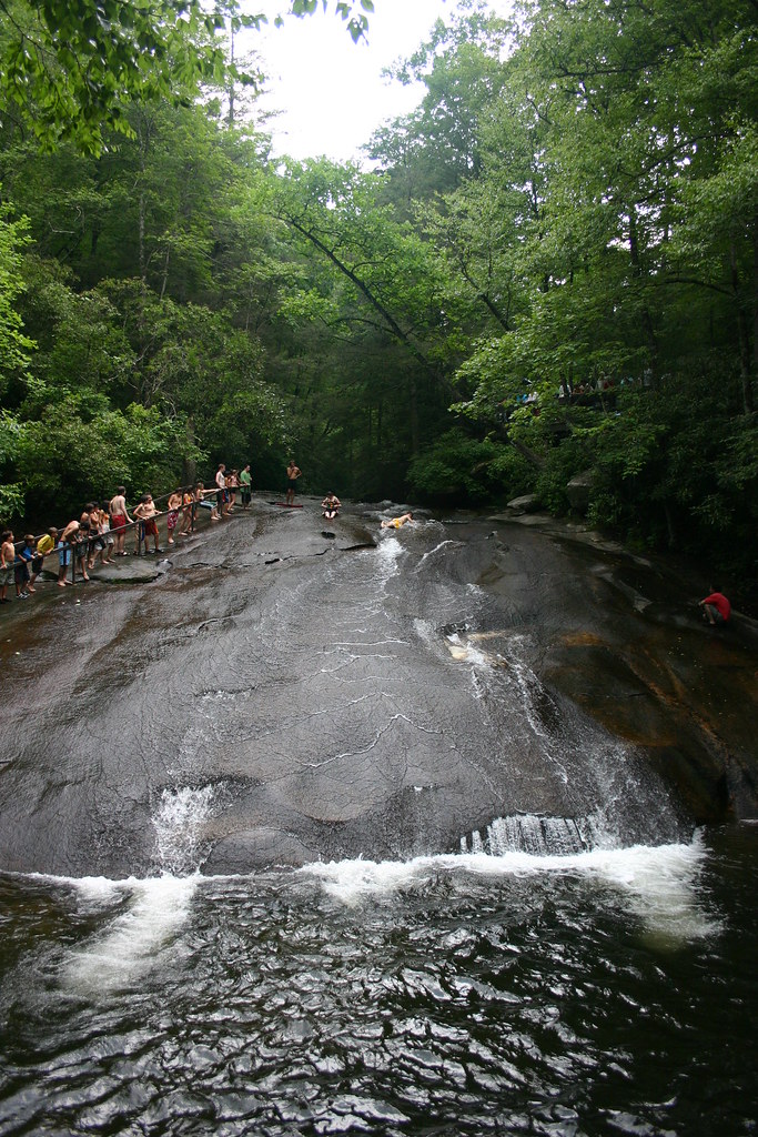
"Slippery Rock" Pisgah Nat.Forest

On the Trail
Topographic Map of Falkland Place Rd, Evington, VA, USA
Find elevation by address:

Places near Falkland Place Rd, Evington, VA, USA:
809 Falkland Place Rd
Langdon Road
Evington
519 Autumn Dr
29 Arrington Dr
Flat Creek Pet Care
Altavista
Lynch Station
31 Bank Rd
Seneca
Frazier Road
91 Hogan Hill Ln
1201 Avondale Dr
1201 Avondale Dr
Altavista
1201 Bedford Ave
319 Myrtle Ln
3rd Street
3rd Street
3rd Street
Recent Searches:
- Elevation of W Granada St, Tampa, FL, USA
- Elevation of Pykes Down, Ivybridge PL21 0BY, UK
- Elevation of Jalan Senandin, Lutong, Miri, Sarawak, Malaysia
- Elevation of Bilohirs'k
- Elevation of 30 Oak Lawn Dr, Barkhamsted, CT, USA
- Elevation of Luther Road, Luther Rd, Auburn, CA, USA
- Elevation of Unnamed Road, Respublika Severnaya Osetiya — Alaniya, Russia
- Elevation of Verkhny Fiagdon, North Ossetia–Alania Republic, Russia
- Elevation of F. Viola Hiway, San Rafael, Bulacan, Philippines
- Elevation of Herbage Dr, Gulfport, MS, USA